Days 14 and 15, and an unexpected conclusion.
Day 14: Check out my road cycling activity on Garmin Connect.
https://connect.garmin.com/modern/activity/1818918615
Day 15: Check out my road cycling activity on Garmin Connect.
https://connect.garmin.com/modern/activity/1818918801
A Geary in Roanoke!
My progress out of Roanoke yesterday was slow at best; I stopped at a bike shop to finesse my front derailleur, get a lesson on repairing cables, and solve a bike shorts heat/sweat issue - which I did, with a great cream, which interestingly enough, is a called Button Hole. I recommend it with great enthusiasm. Greatest thing for cyclists ever invented.
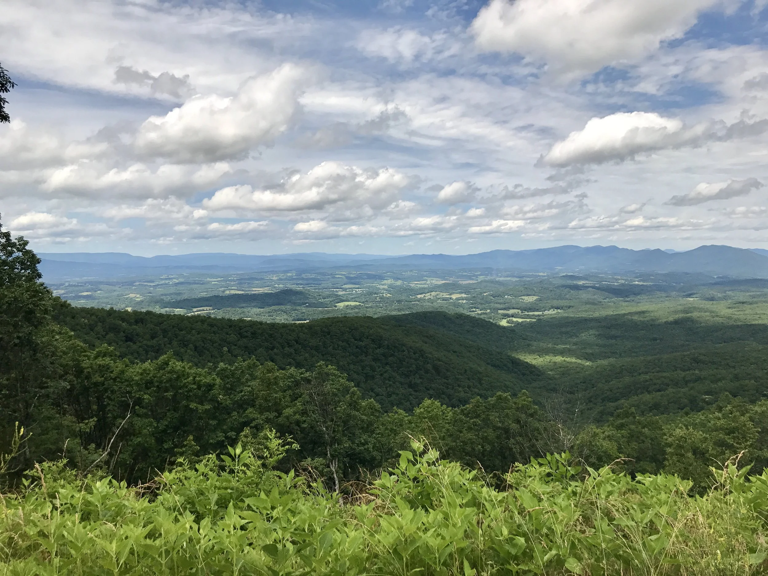
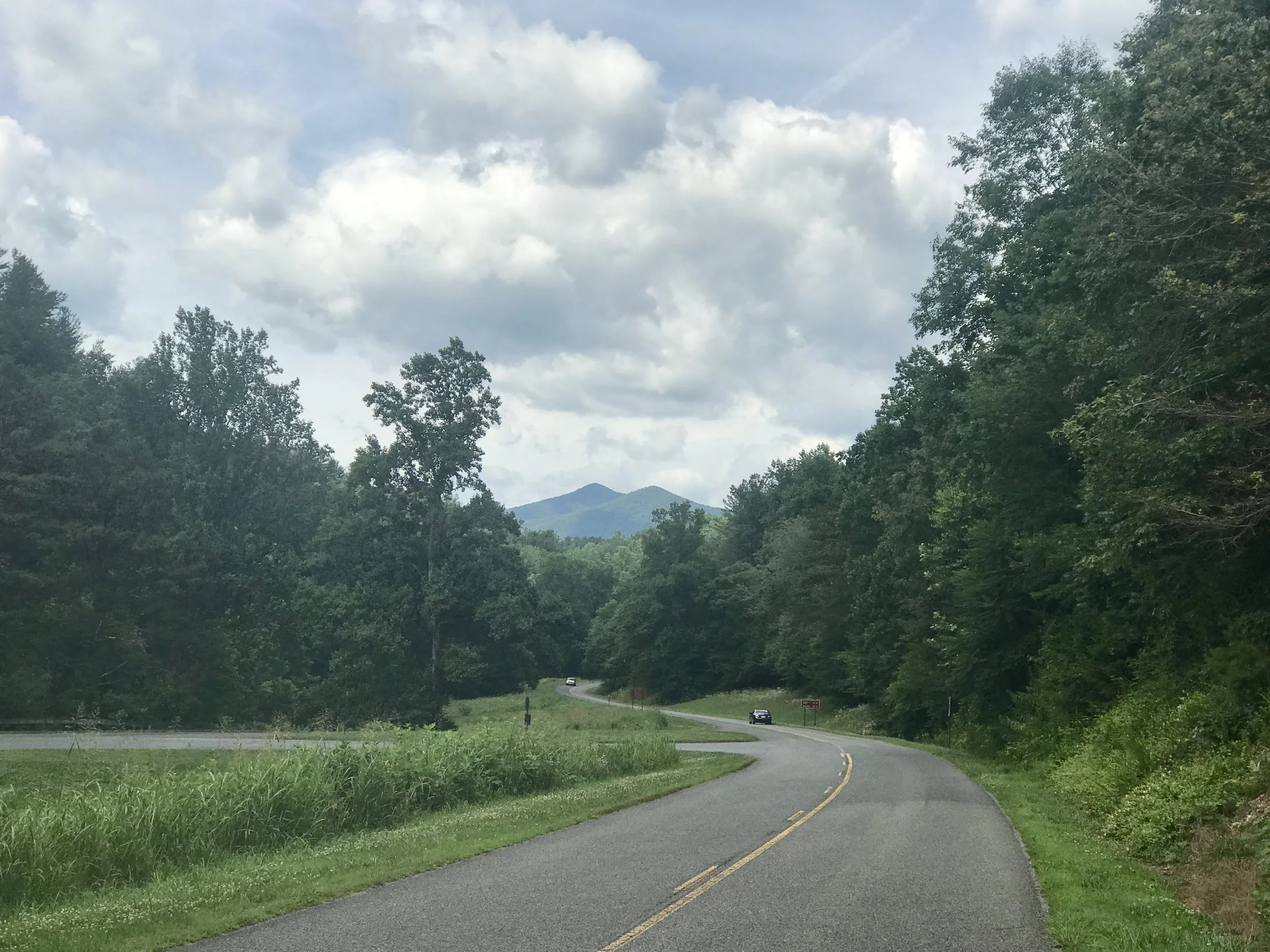
One spot where the Appalachian trail crosses the Blue Ridge Parkway.
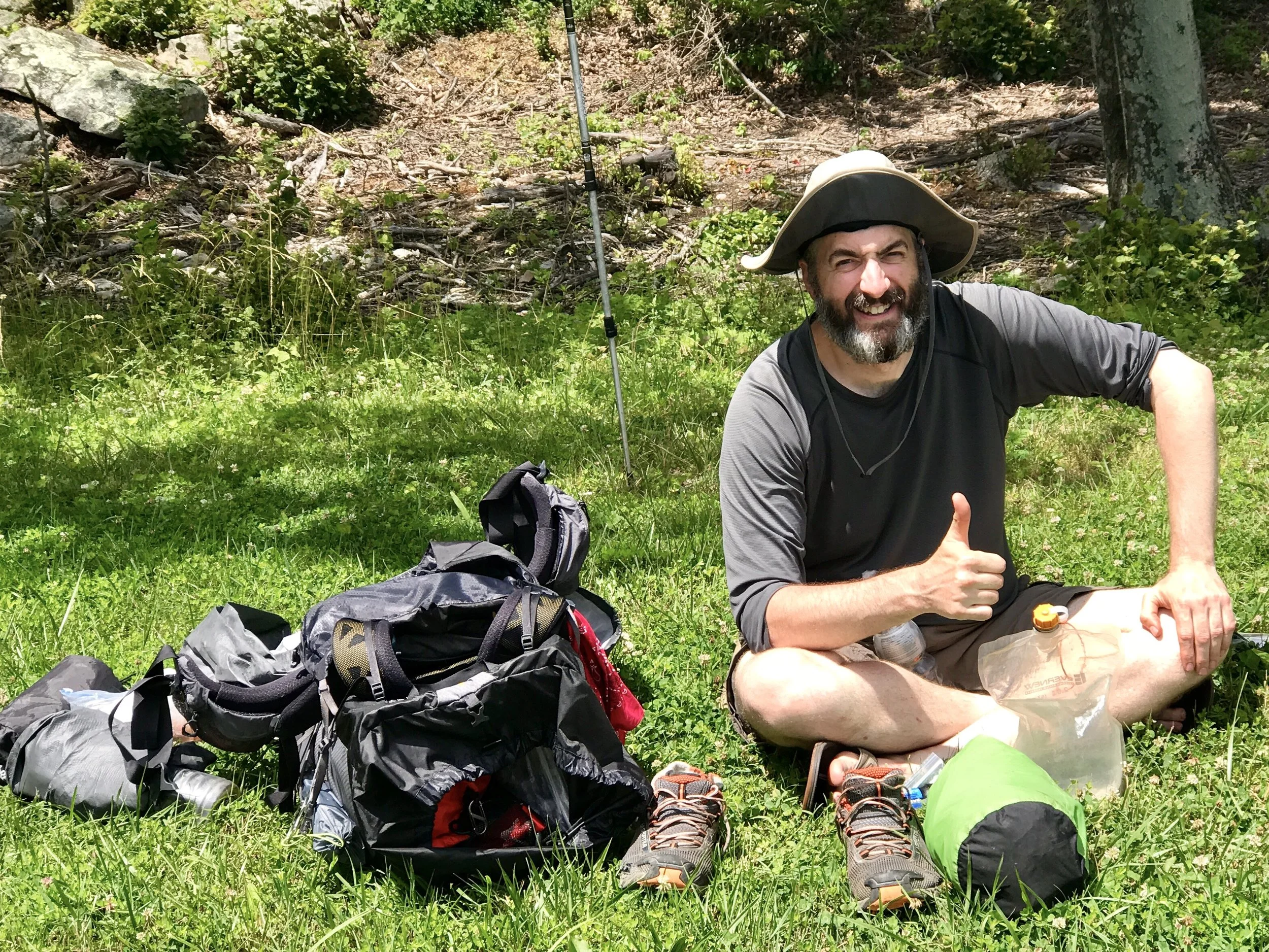
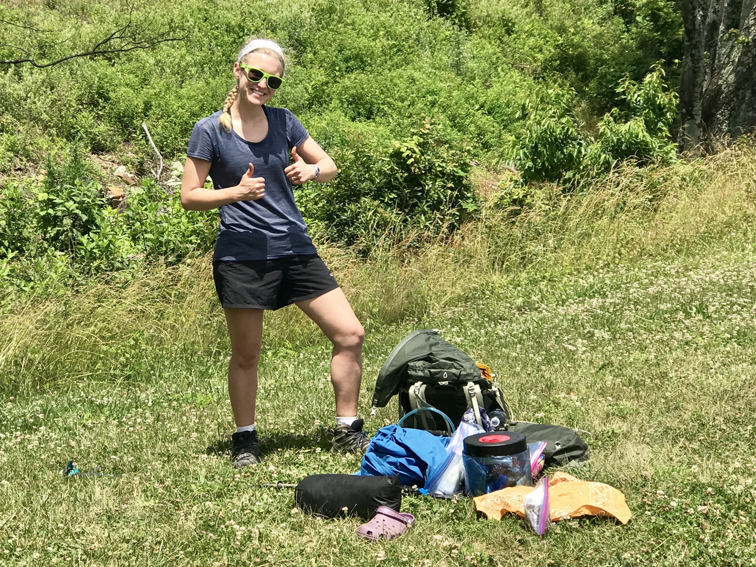
After two hills that absolutely wore me out I still had 25 miles to go, according to a plan I made yesterday morning. I stopped at an overlook and was greeted by two hikers on the Appalachian Trail, which crosses this section of the Parkway in Virginia multiple times. Although I didn't get their names, I did get their pictures. Even they had been hiking for 6 weeks already, they were happy campers, as you can see.
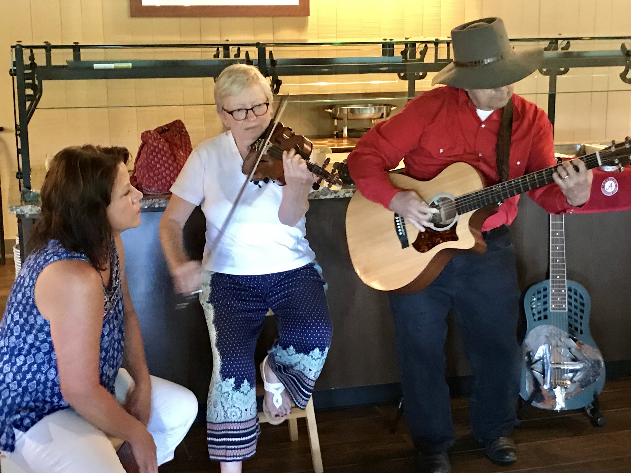
I had one of the toughest hills on the Blue Ridge right ahead of me, when I came upon a National Campground with a great restaurant attached to a lodge featuring a soulful blue grass and folk band. The restaurant is one of three that I've seen in 300 miles on the Parkway. And I was starving. So I stopped for the day. There was no shower at the nearby campground, and I made do with a spot bath, which after a long day of cycling, was not my preference. But the weather, although hot, was pretty pleasant. The humidity from Hurricane Cindy had lifted, so remaining a bit sticky was tolerable.
Home, sweet home.
Please understand the lack of amenities on the Blue Ridge Parkway is not an issue if you travel in a car. In fact, the very light touch of humanity other than a simple two-lane road definitely adds to the Parkway's rustic charm. A quick five to fifteen mile ride off the Parkway (when it does intersect with another road) will usually find you food. But on a bike even five miles takes at least a half hour down the Ridge and at least two hours back up. This is not something an already tired cyclist does on a whim.
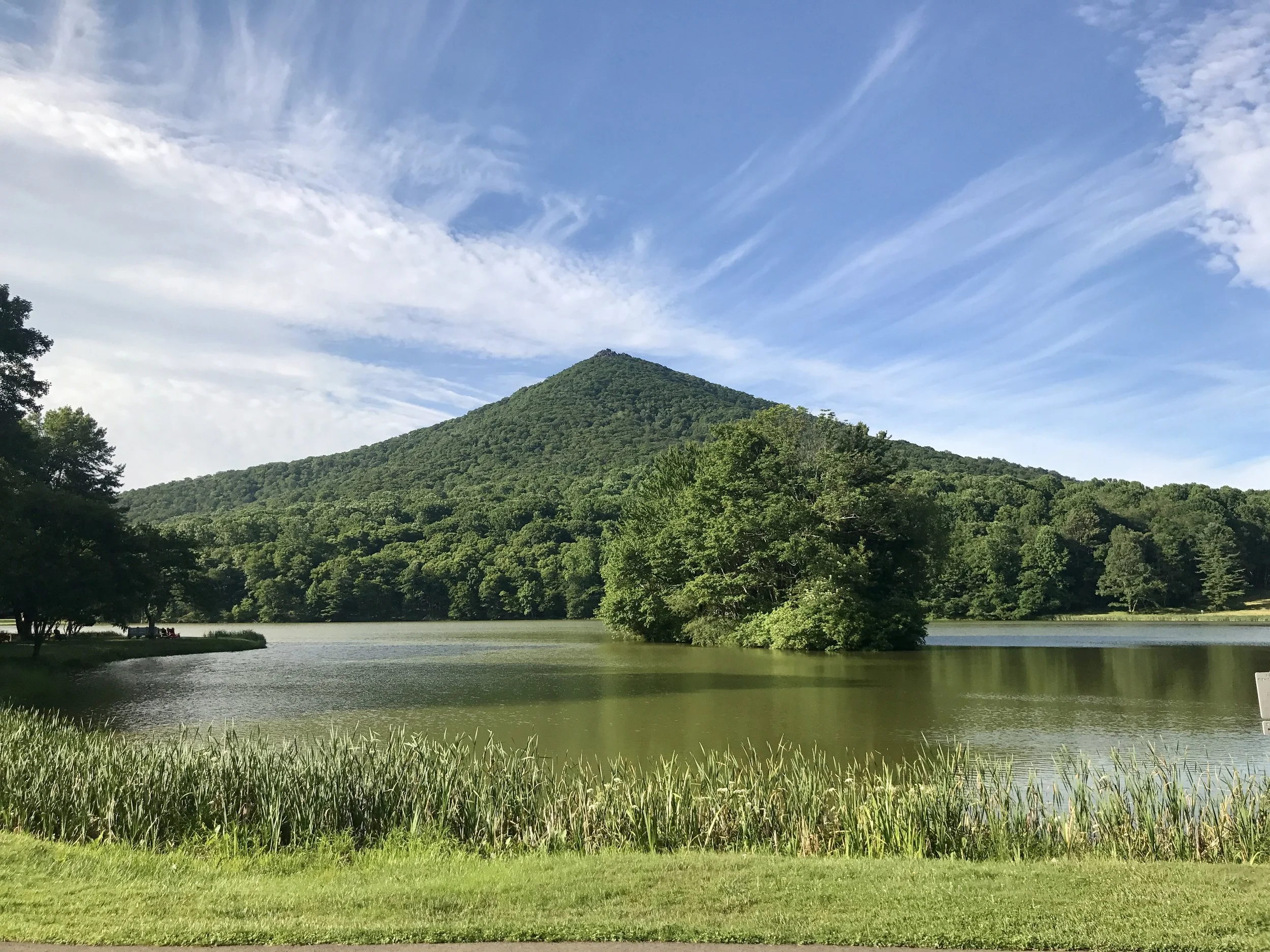
One of the Peaks of Otter.
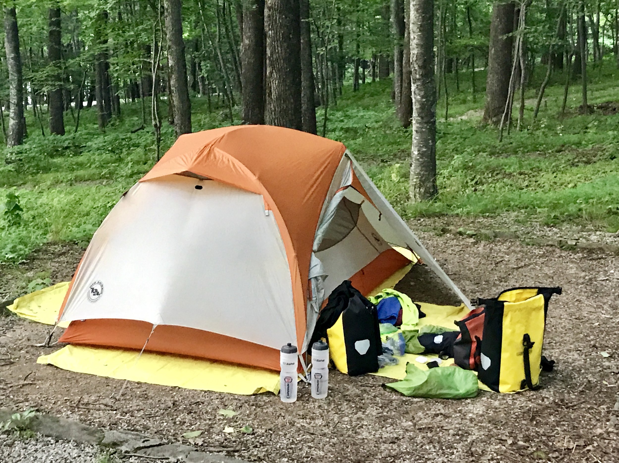
But back to the lodge. The music was great. The food was fabulous. And the beer was sublime. There was no cell service and very poor wifi, so I reconciled myself to not writing a blog post that night. Contented, I went to sleep early in a tent at Peaks of Otter. Fyi, the word Otter, in this case, comes from the Indian word otai, which means Mountains, so I'm really at the peaks of the mountains. Or so my waitress told me.
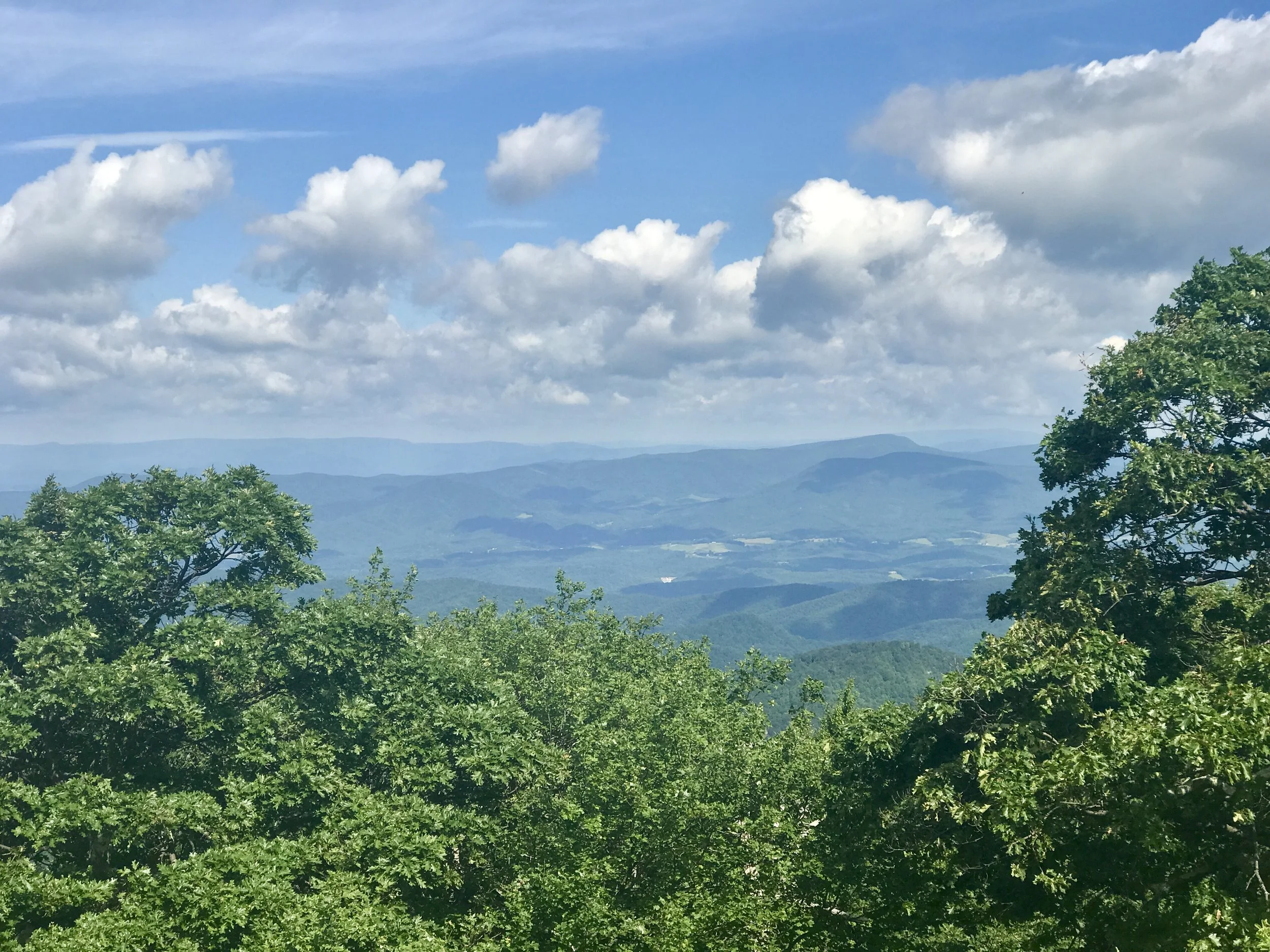
The view from Thunder Ridge.
I woke to an equally beautiful day. The lodge had a great breakfast buffet and I ate heartily in anticipation of a ten mile climb up to Thunder Ridge, the highest point on the Parkway in Virginia, and the toughest climb. The reputation is deserved. It took me several hours to make it to Thunder Ridge at about 4000 feet elevation, where I was rewarded with incredible views and a thirteen mile downhill ride at the most consistently steepest grade I have ever biked.
The view of the Peaks of Otter from the James River.
I flew, and tried not to overbreak to preserve my brake pads. By noon I was at the James River, which is the lowest elevation on the Parkway at about 460 feet. In another hour I had arrived at Otter Creek, the last campground on the Parkway before it ends about 60 miles north in Shenandoah National Park.
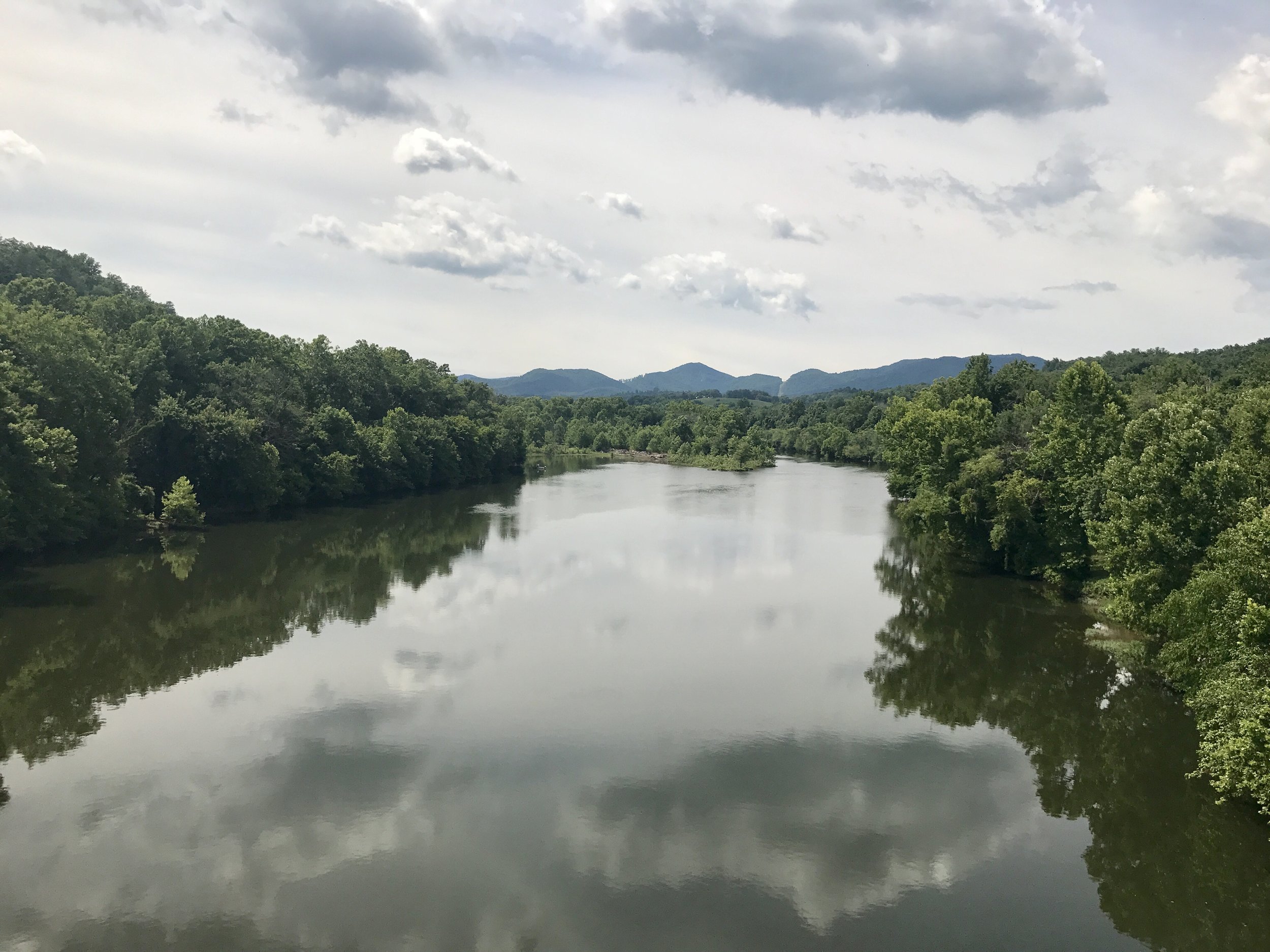
The James River.
I was getting hungry again, and although I had emergency food, I was hankering for another meal. I stopped at the campground to inquire about where I might find food. Turns out I was five miles north of a corner store that is only about a mile off the Parkway. Not so bad. And then I learned there were no more campgrounds and nowhere on the Parkway to get food until Shenandoah. Whoops.... Should I go back five miles, get food, spend the night at Otter Creek and make a run for it tomorrow to Shenandoah? If I did, would I make all 60 miles? There is one water stop on the way. The road is evenly divided between uphill and downhill runs. But I had been killing myself getting 45 miles in a day on the extraordinary hills of the Parkway. Could I do 60 plus miles without a good hot meal in my stomach, since snack food was all I was likely to find and be able to carry.
It meant not doing the last 60 miles of the Parkway, but after a lot of thought I decided to head down the Ridge about 25 miles to Lynchburg. After the Parkway the road would seem dangerous, but I could get food and lodging there, and figure out my next move.
Turns out that Amtrak runs a train called the Crescent between NYC and New Orleans that has the same roll-on biking service for $20 that the Silver Star does between NYC and Miami. So, although I was going to train it back to NYC from Washington, DC, it turns out I can do it from Lynchburg! So my endgame has changed, coming slightly sooner than expected. I'll spend tomorrow here checking out the town, and catch the train at 5:56 am (gulp) on Tuesday.
I hope to send a final post from the train (sadly, the current heat in Phoenix and Las Vegas is a harbinger of things to come - there's some great writing out there on the subject of coming heat waves - and I want to reflect on it a bit).
In any case, I hope you've enjoyed this short excursion into the the Blue Ridge Mountains. Look for more to come, as always.
Michael