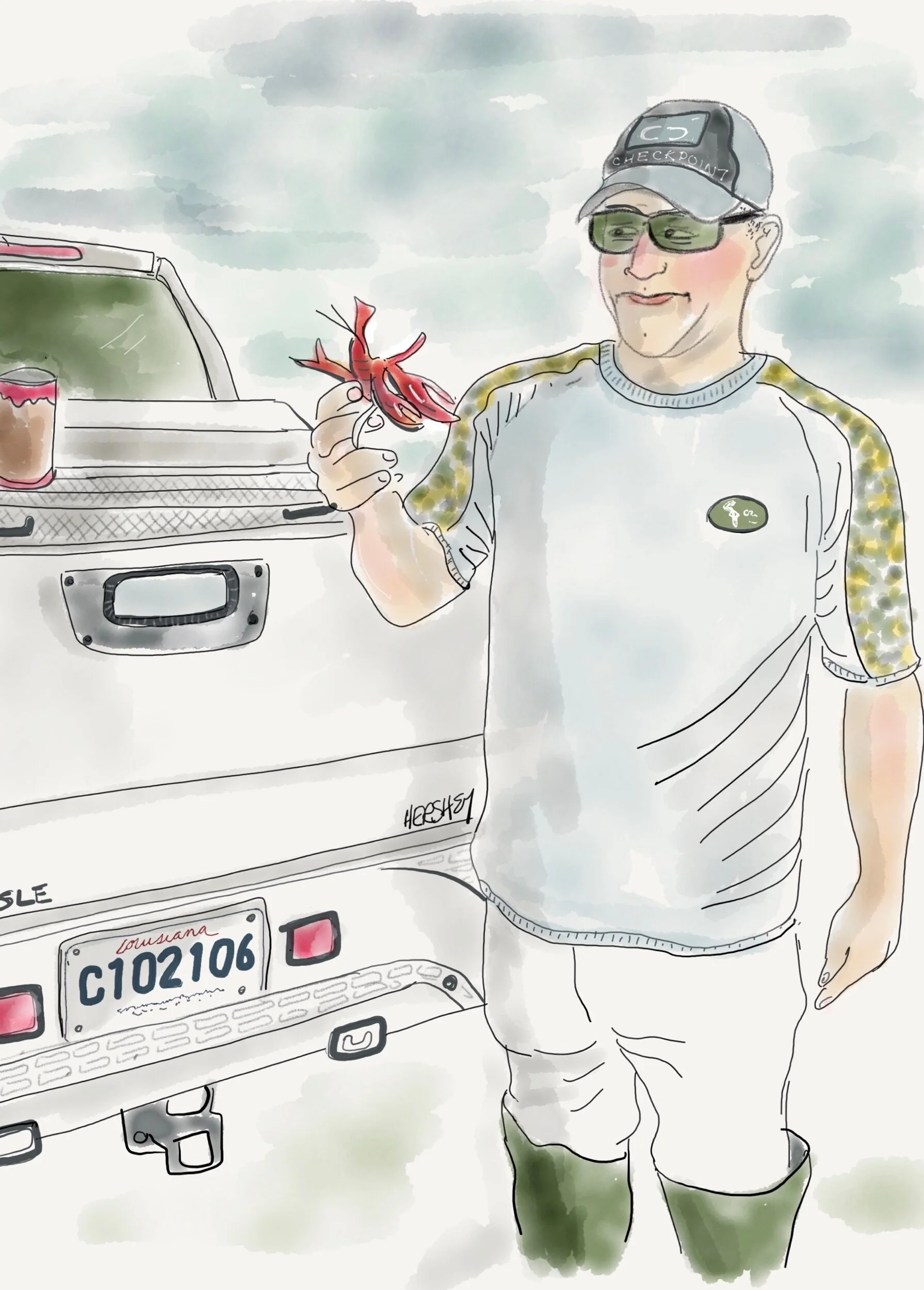
“Yes Ma’am...it’s alive. They be millions of them in pots out there in them rice fields”. Drawing by Jennifer Hershey. Follow her on Instagram at deeofo.
Welcome from Galveston, Texas, where we arrived from Louisiana by way of the coastal towns Cameron, Louisiana, and Port Arthur, Texas. Most of south central and southwestern Louisiana below the I-10 corridor from Houston to New Orleans is less than 20 feet above sea level. On both sides of the Intercoastal Waterway this land of marshy prairies, bayous, forests and intense wetlands supports many wildlife sanctuaries, cattle ranches, sugarcane and rice farms, and crawfish trapping. It was a pleasure to cycle through. People are friendly, and the inland towns are small and attractive.
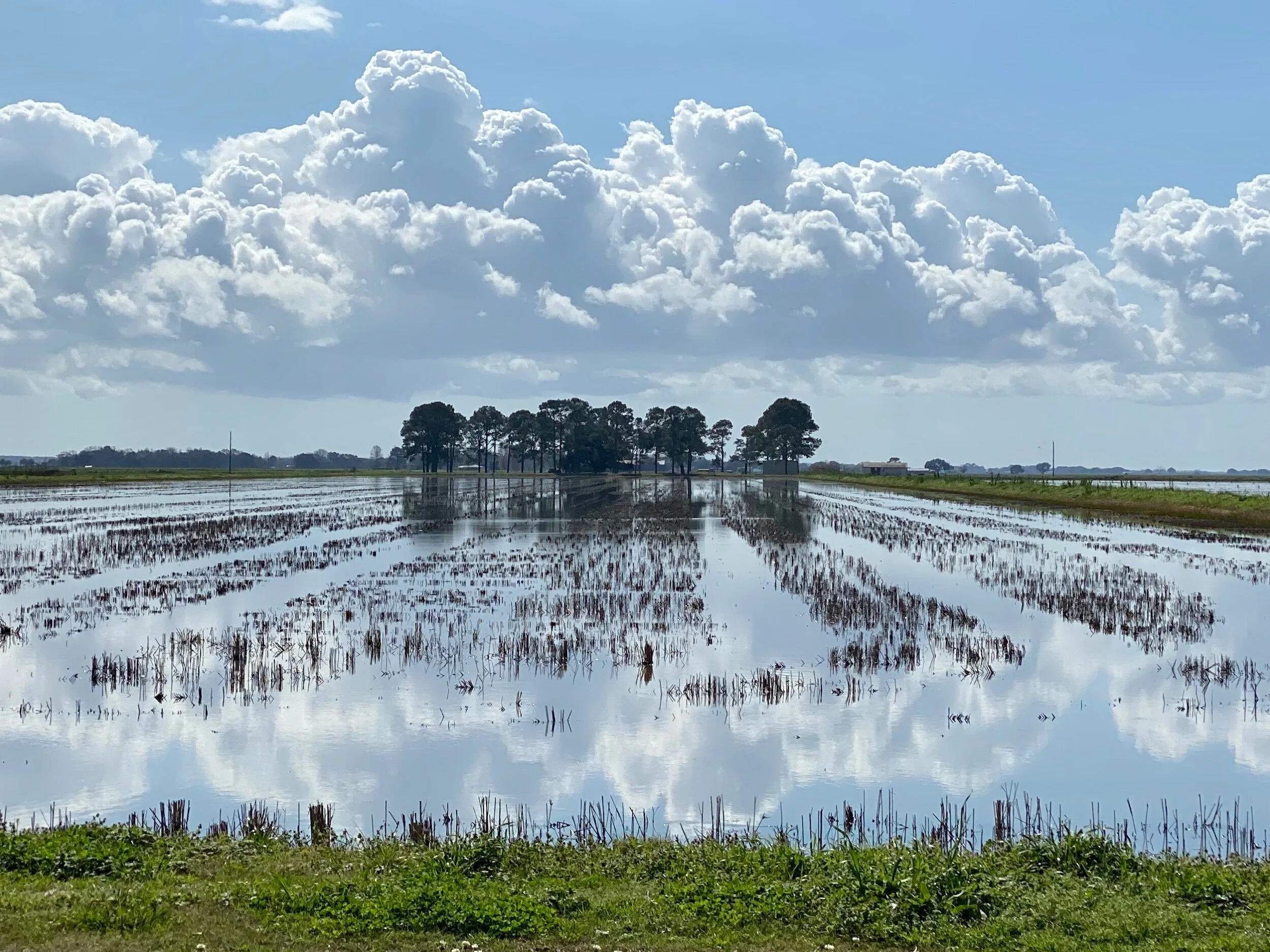
A rice field east of Lake Arthur, LA.
We had an interesting encounter with a very busy and successful woodworker named Mark near New Iberia, Louisiana, who showed us his shop, and introduced us to some of his workers. After we got settled into a motel in nearby Abbeville, he and his wife Dona picked us up and took us out for a sensational seafood dinner. We enjoyed Louisiana hospitality at its best, with good food and plenty of libation and conversation. Although we could sense we weren’t all likely to be on the same page politically (even though we shared a concern for rising sea level and the fate of the lowlands), a strong and jovial spirit of acceptance and friendship remained intact. Interestingly, the next day Mark read my recent blog post, and texted me “Great post. Observe more, judge less. Good way to live. Just remember, sometimes you have to step up to the plate”. Jenny drew his picture, and I thought about what exactly he meant.
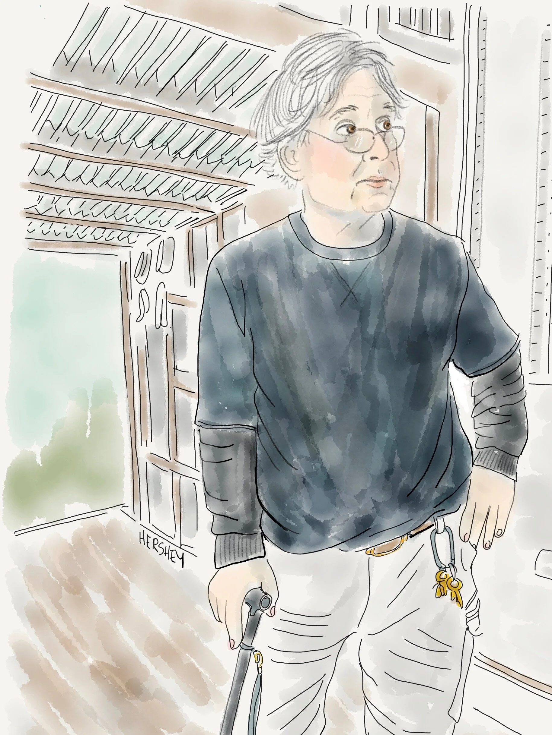
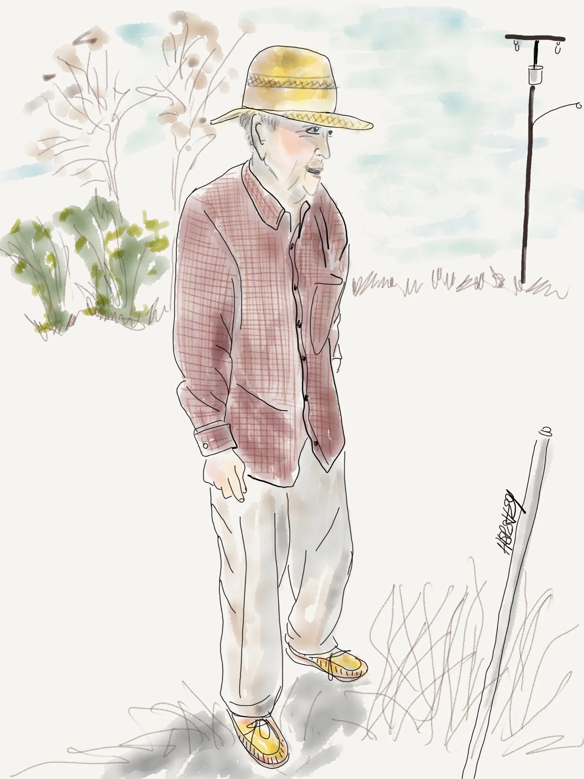
“I got three good sons in laws. I want my family to be healthy. But I worry that the land to the south of here is going to be under water”. Drawing by Jennifer Hershey. Follow her on Instagram at deeofo.
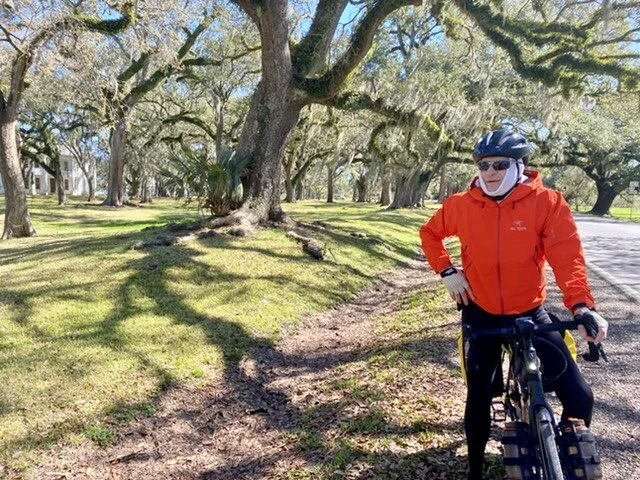
Michael biking through historic Jeanerette, LA.
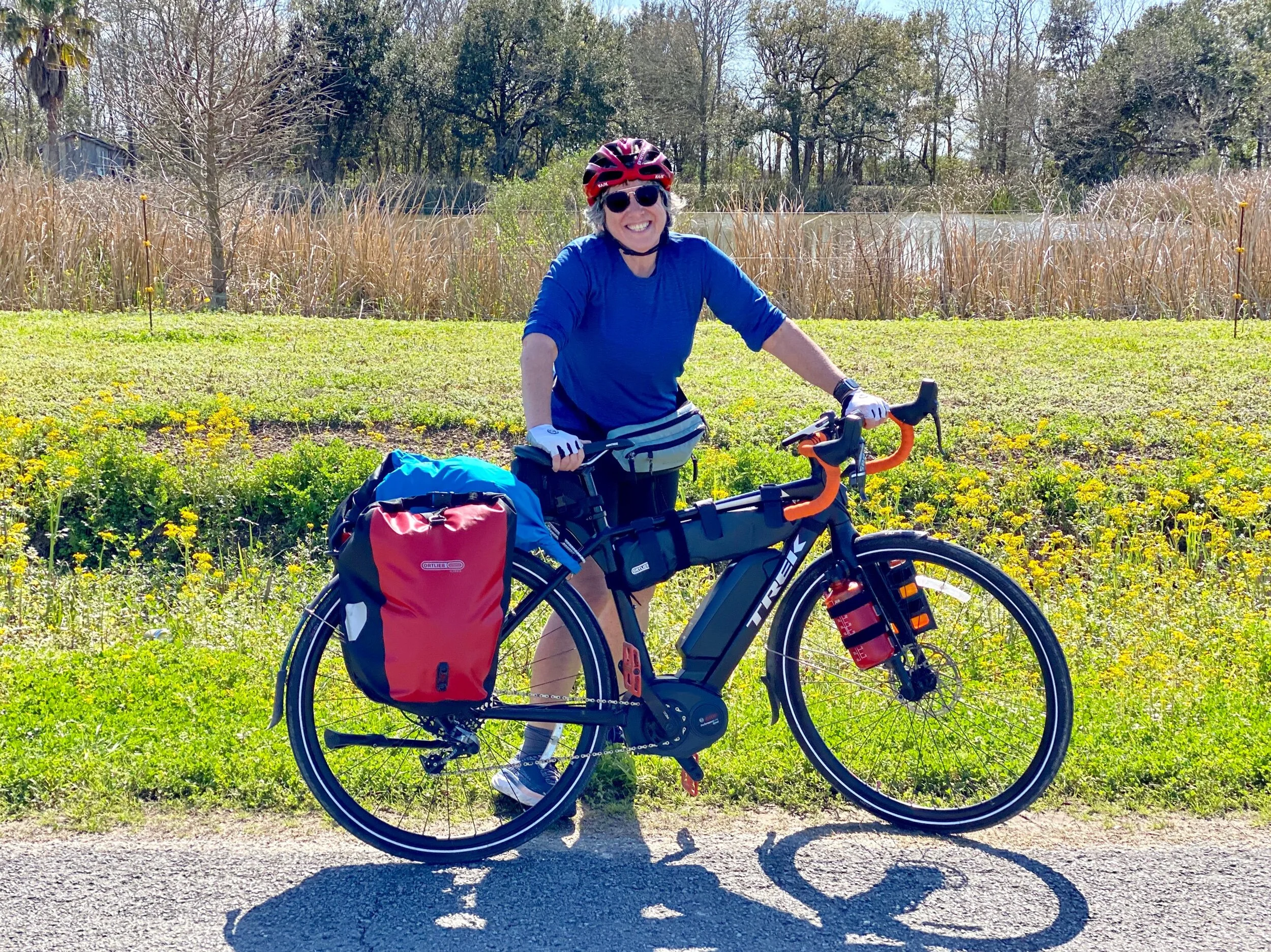
Jenny with her bike on the way to Lake Arthur, LA.
In addition to their beauty and the warmth of their inhabitants, southern Louisiana and Texas can also be disturbing places to bike through. This bucolic landscape is riddled with debris, machinery, abandoned oil wells and new fracked gas compressor stations. It’s crisscrossed by pipelines carrying oil and gas from conventional wells found underneath the marsh, and an abundance of fracked gas piped in from the north. Much of the fracked gas in western Louisiana originates from the nearby 9000 square mile Haynesville Shale, a large shale play in northwestern Louisiana.
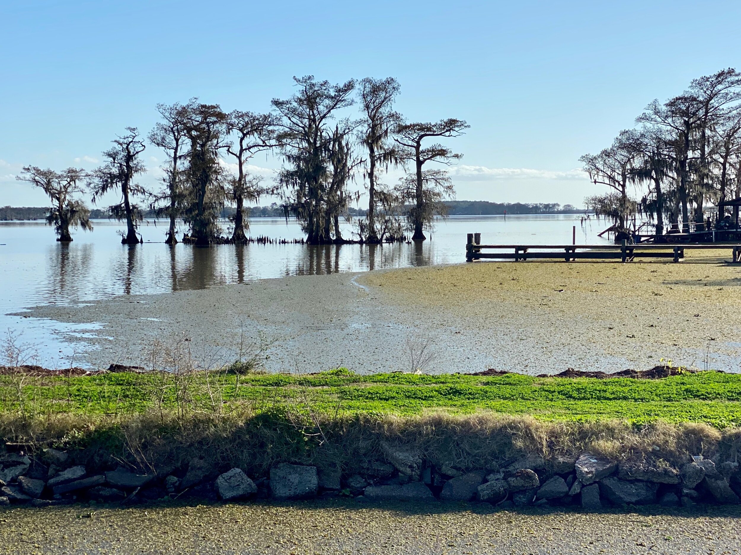
A view of Lake Arthur, LA.
Given the low elevation and the marshy characteristics of the land, it’s obvious that this area is very prone to coastal erosion, storm surges, tidal flooding, and extreme weather events such as hurricanes. A few days earlier, just west of New Orleans, we had contended with tornado warnings, which are quite unusual for the area. Locals agreed, although no one we spoke to suggested a changing climate as a possible cause.
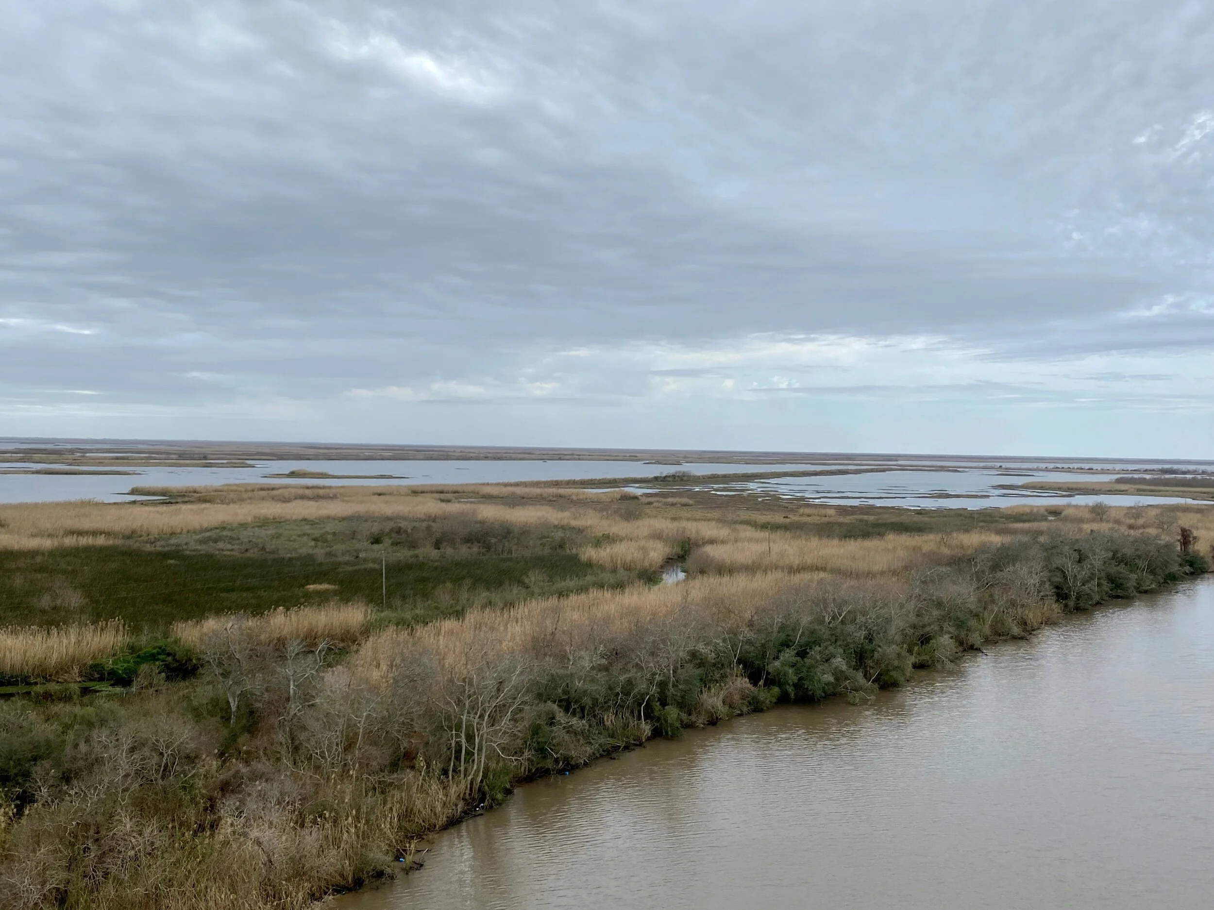
Just south of the Intercoastal Waterway on Highway 24 in southwestern Louisiana. Under these marshes lie a maze of pipelines carrying oil and gas from local deposits and the shale play in northwestern Louisiana.
The sheer vulnerability of the lowland coastal areas of the Gulf Coast seems hauntingly palpable. It’s clear to any thoughtful observer that Louisiana is deeply and complexly affected by our changing climate.
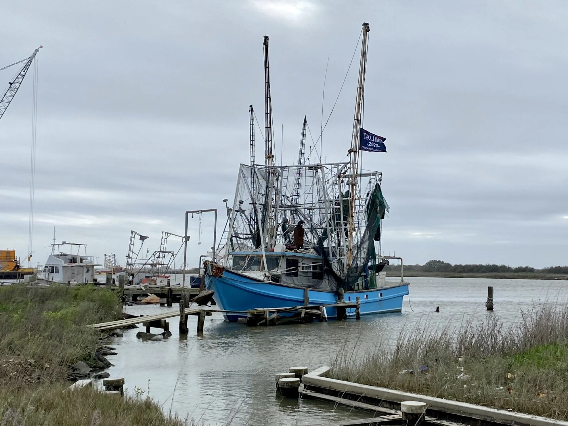
A fishing boat moored near the site of the new LNG global exporting plant at Cameron, LA. The flag on the boat says Trump/Pence 2020 . The entire port area just south of this boat (which used to be public land) is now privately owned by the company building the incoming plant. We weren’t allowed to see it.
The town of Cameron, LA, (once a bustling resort town of 3000 people that was devastated by Category 3 Hurricane Audrey about 60 years ago, and slammed again by Ike in 2008) now only has a few hundred permanent citizens. However, it is now a site for a large liquified natural gas (LNG) global exploring plant that will compete with an equally large LNG global exporting plant under construction in nearby Port Arthur, Texas. This much larger blue collar town lies just across Louisiana's southwestern border, where the Spindletop gusher was struck in 1901, setting off an oil rush that resulted in nearby Houston eclipsing Galveston as the primary port for southeastern Texas.
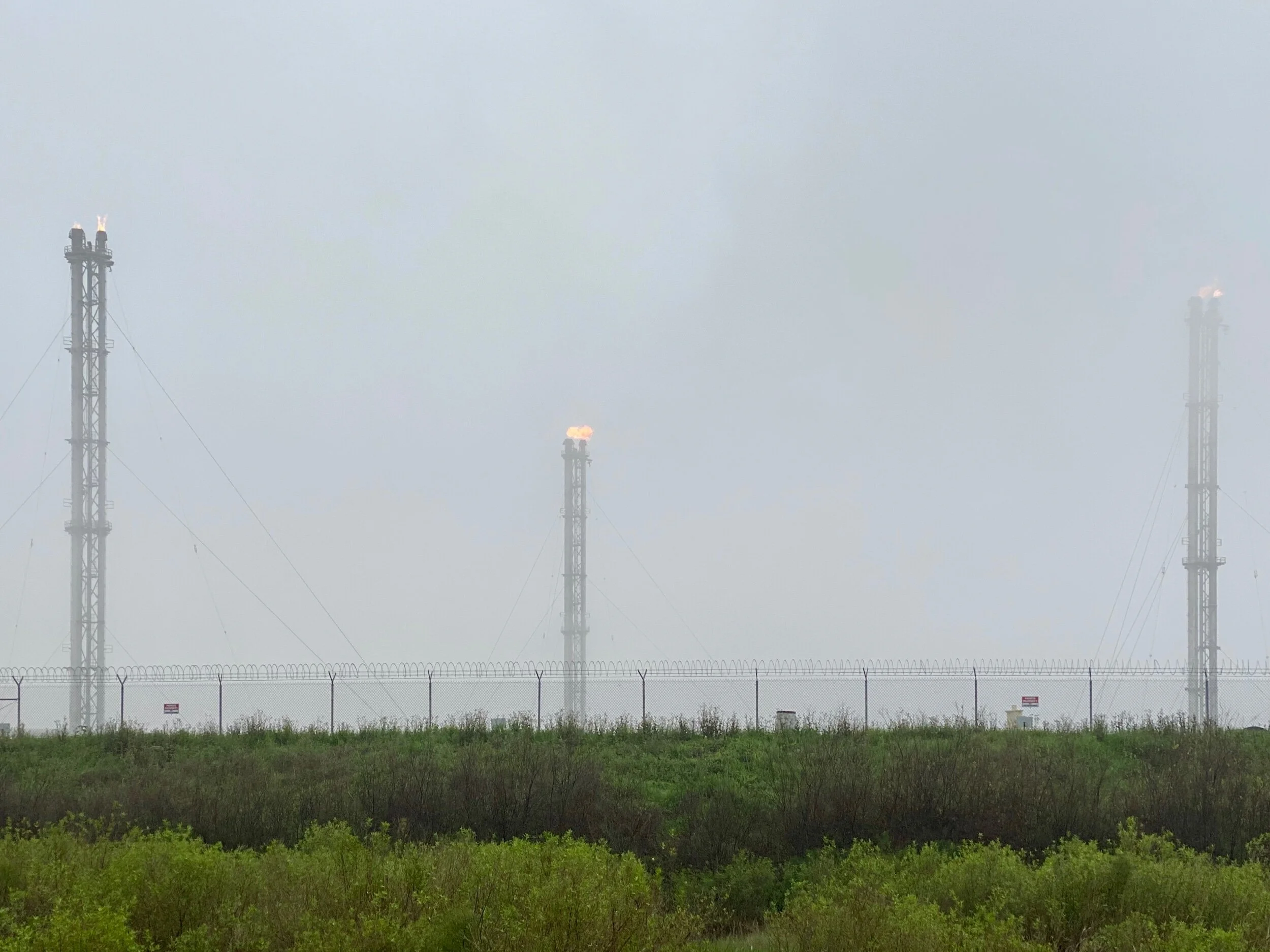
Gas flares in the marsh about a mile from the Liousiana Coast.
Each new plant currently employs about 3000 construction workers. When complete, the Cameron plant will support 160 permanent jobs, and the Port Arthur plant will support about 200 permanent jobs. That is, of course, unless a major hurricane hits this part of the Gulf Coast, in which case operations will either be temporarily or permanently interrupted.
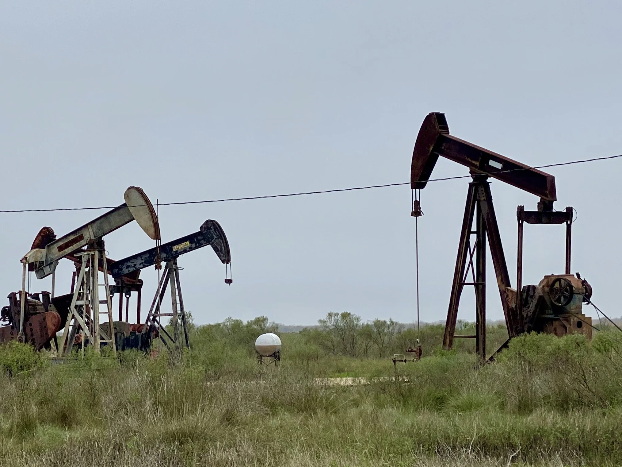
Abandoned oil wells in High Island, Texas, about a half mile from the Gulf Coast.
The reasons for this activity make economic sense in the short term. Cameron has been quite poor since Hurricane Audrey hit, and jobs are scarce. Consequently, the new plant is very popular among locals. Port Arthur is also poor, although it has more economic diversity than Cameron. However, the proximity of its site for a new receiving terminal will have additional benefit to Houston, so it’s popularity is even greater. Interestingly, in Houston, there is tacit, if not public, recognition among local officials that climate change is real. Based on a conversation we had with a local in Port Arthur, it seems there is hope that new sea walls east of Port Arthur across the Sabine River and further west across the Houston ship channel will mitigate storm surge issues for awhile, at least for southeastern Texas. …For how long, we wondered?
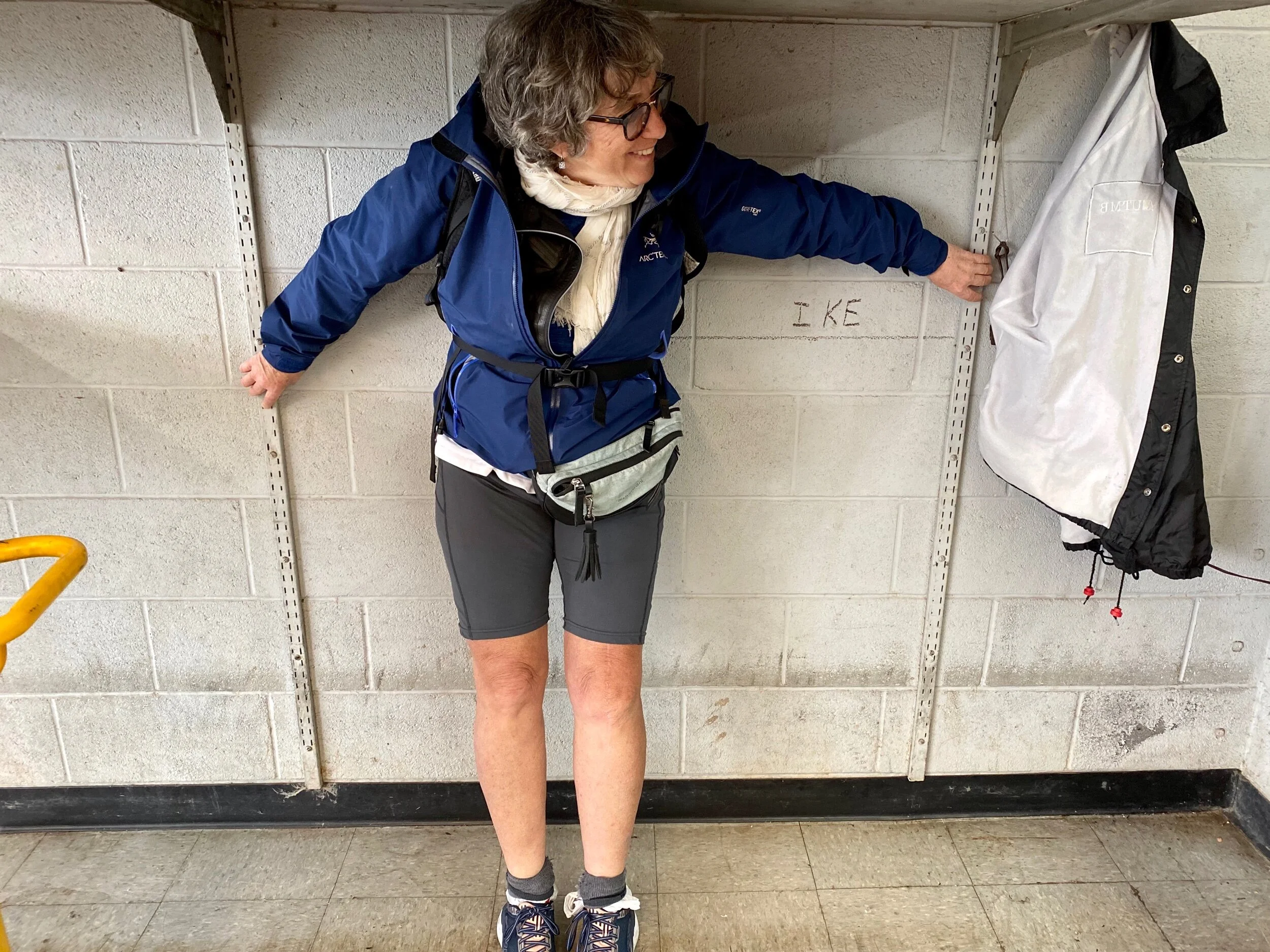
Jenny’s left arm marks the water line for Hurricane Ike in a bicycle shop we went to in Galveston. This 2008 hurricane holds the record for storm surge in Port Arthur, cresting at 22 feet.
So why do so many people in Louisiana and Texas embrace the very industry that may ultimately do them in? Isn't one definition of insanity, “doing the same thing over and over again and expecting different results?”
“I moved one time..in 1954...from next door to here.” Drawing by Jennifer Hershey. Follow her on Instagram at deeofo.
Jobs are important, and 460 permanent jobs might have lasting value for your communities. But at what cost? When your home is losing land to coastal erosion at alarming rates, when scientist are warning us that sea level rise is occurring faster than their previous conservative estimates indicated, when extreme weather events such as hurricanes and tornadoes are becoming more frequent with every passing year, when scientists are looking at establishing a Category 6 for hurricanes because they are growing so much more intense, …..when does that community cut its losses, and change its economic base?
Yes, life will be harder in the short term, but potentially much more livable and rewarding in the long term. Maybe that’s a plate that’s worth stepping up to…
For those of you who geek out on map routes, please email me and I will happily include links to the Garmin maps in this blog post. Frankly, I simply don’t know if they are very important to my readers. If I’m wrong, I’d love to know.
Thanks for reading! More to come…
All photos, unless credited or otherwise noted, are copyrighted property of the blog post author.