Southern Tier, Post 41
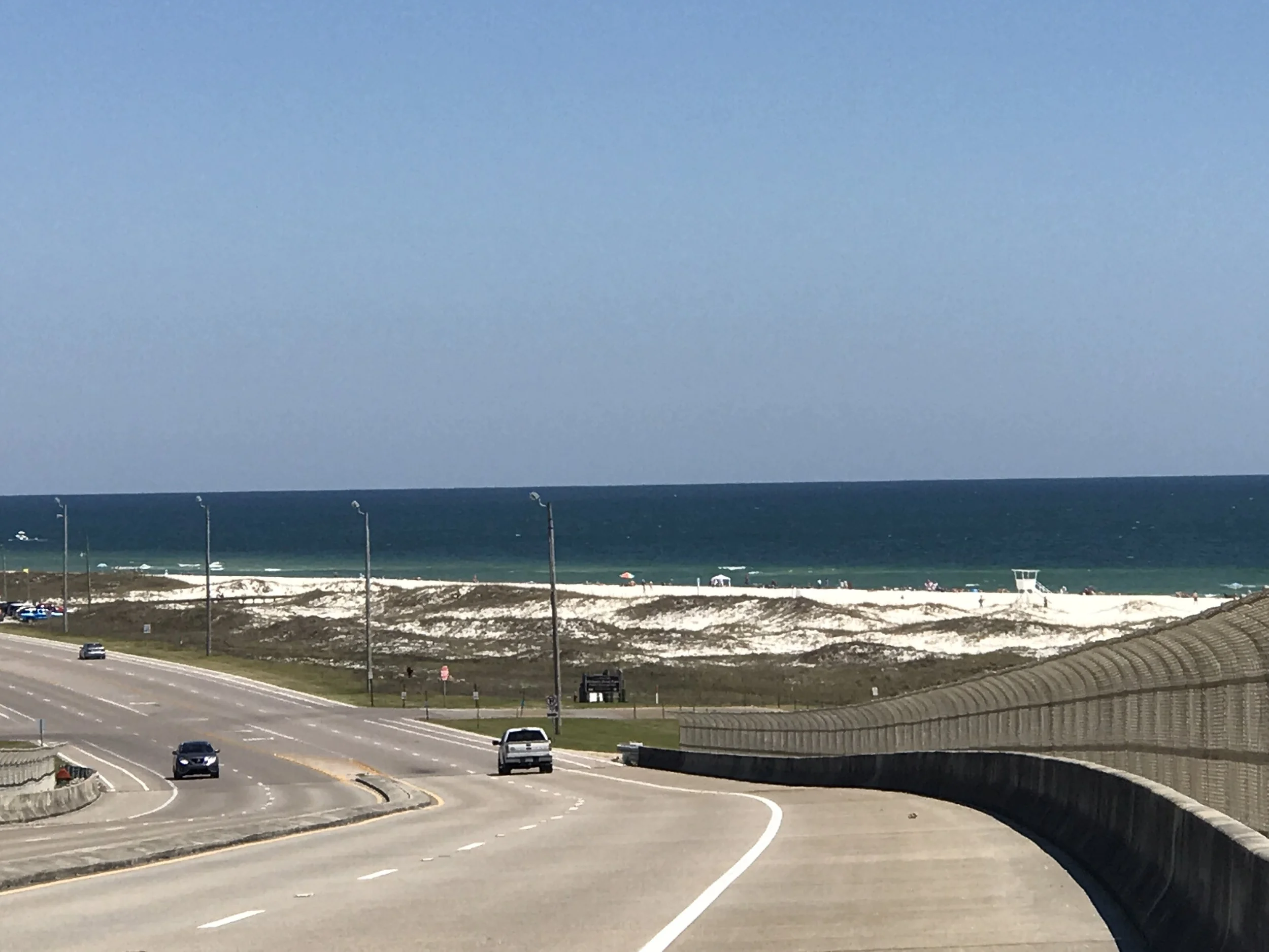
Day 46, post 41. I'm now in Florida, about 10 miles southwest of Pensacola. I woke early in Bayou La Batre so that I could catch a 9:30 ferry at the east end of Dauphine Island, about 20 miles away. The ride there was gorgeous - salt marshes, great views of the Gulf, and the very large Mobile Bay. If there was a downside on this flawless day, it was the contrasting starkness of the many oil platforms in the bay and in the Gulf waters. On the ferry ride from Dauphine Island I talked to an older guy who grew up in Mobile, and he said most of the derricks weren't there as recently as 10 years ago. I wonder if we are really comprehending the exponential rise in energy use and development that has been so ubiquitous over the past few decades. This would of course go along with the explosion in roads, shopping malls, and suburban sprawl that has changed our country so much in recent history. And to compliment that thought, I should mention the sheer oddity of in witnessing the massive hotels and condominiums that now line the eastern Alabama Coast east of Fort Morgan. "Quaint or funky" would no longer apply. "Massive and out of place" might. At the Florida campground (Big Lagoon State Park) south of Pensacola, where I am spending the night, a food truck vendor told me those massive buildings won't last - apparently the locals expect the next hurricane to take them out, given that they have been built right on the beach with no pylons. I have heard some references to Mississippi's coastline being low key because Katrina destroyed so much of it, particularly Waveland and Bay St Louis (my apologies for naming that Isle St Louis in my last post). Apparently Gulfport and Biloxi weren't spared either. Interesting story about Dauphine Island - it was the capital of the Louisiana Territory in 1715, and the governor was named Cadillac... during Katrina, the island split in two and part of it shifted west. Homes there were lost, and the gap was later filled in with large boulders, which formed a great fishing area. You can boat out to the second patch of island to fish and camp. But it is now an isolated patch of land. The food truck vendor also told me the locals think this is going to be a rough hurricane season - because of El Niño the Gulf waters are warmer than average, plus plenty of folks here seem to know we are breaking records for continuous heat around the globe, and that will contribute as well. So maybe I'm seeing some things that won't be here long.... time will tell.
Check out my road cycling activity on Garmin Connect.
https://connect.garmin.com/modern/activity/1668380654
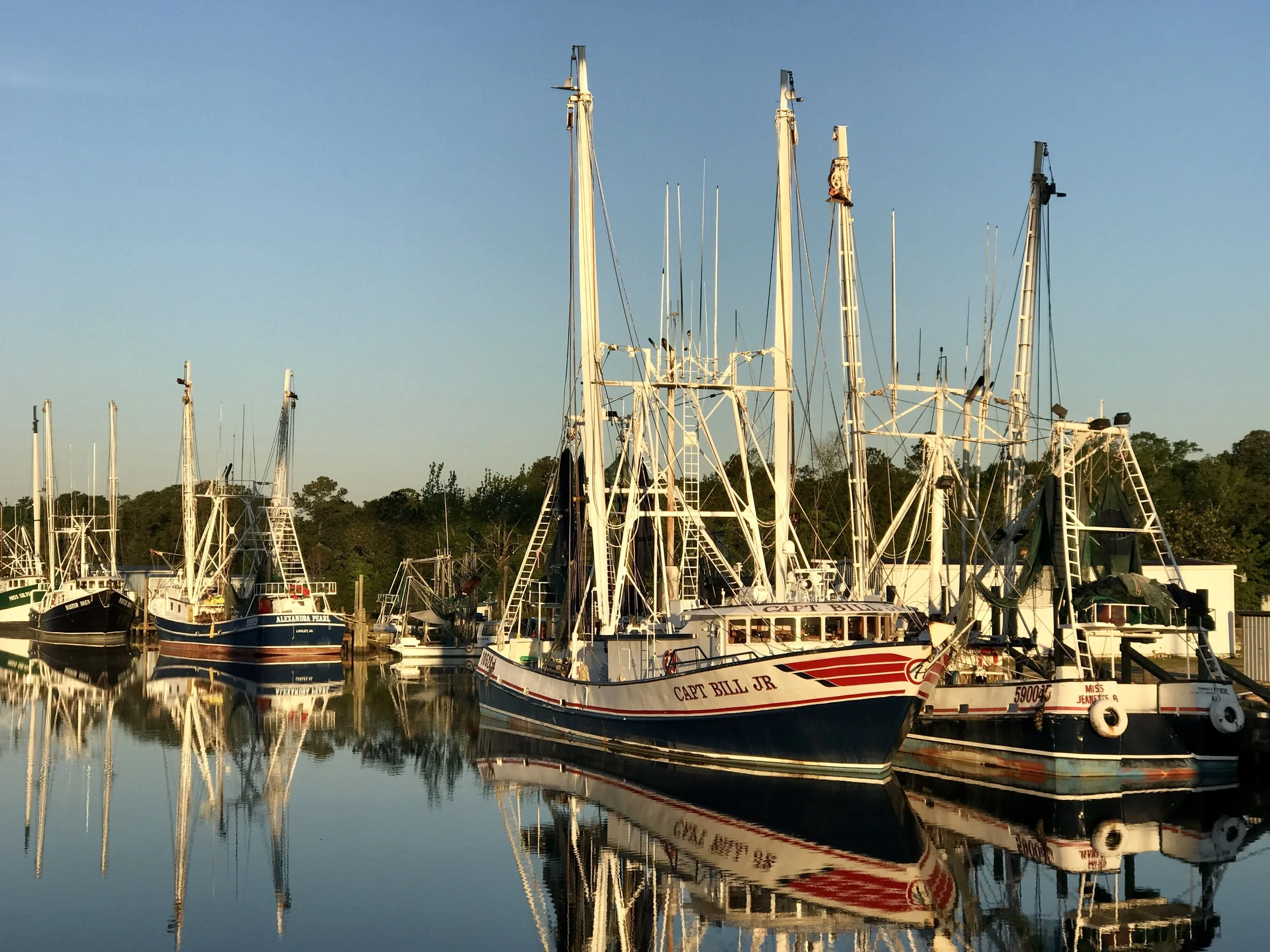
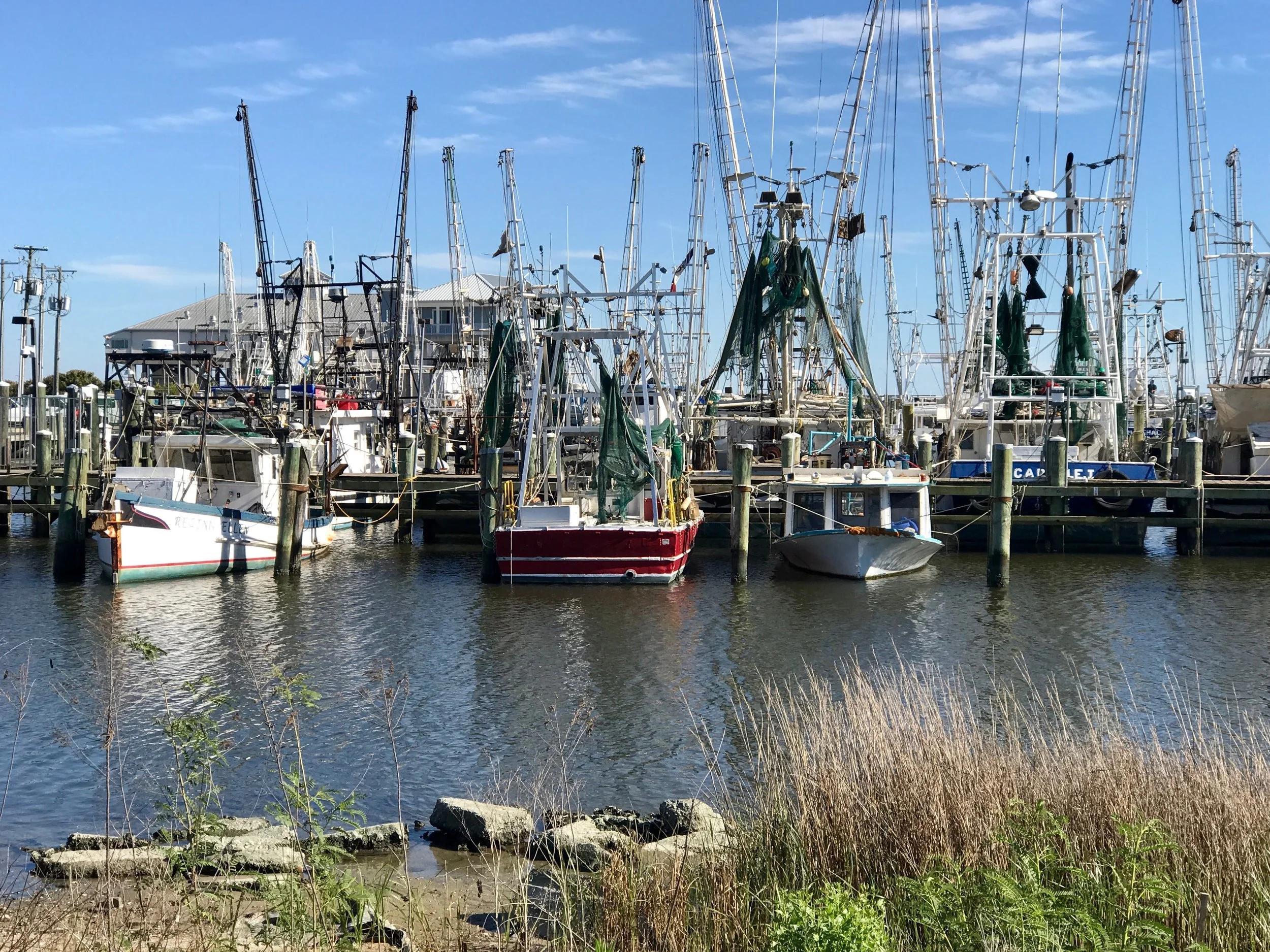
Pic 1, Boats in early morning sun near Bayou Le Batre.
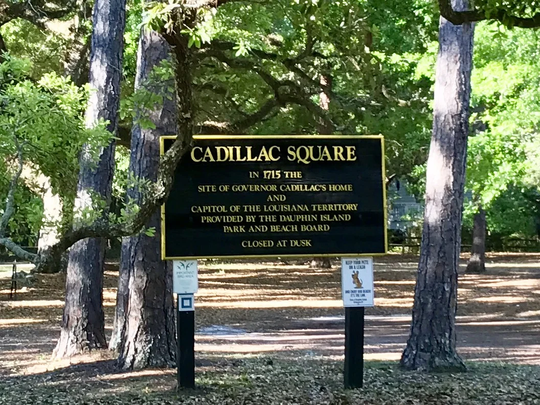
Pic 2, Historical sign on Dauphine Island.
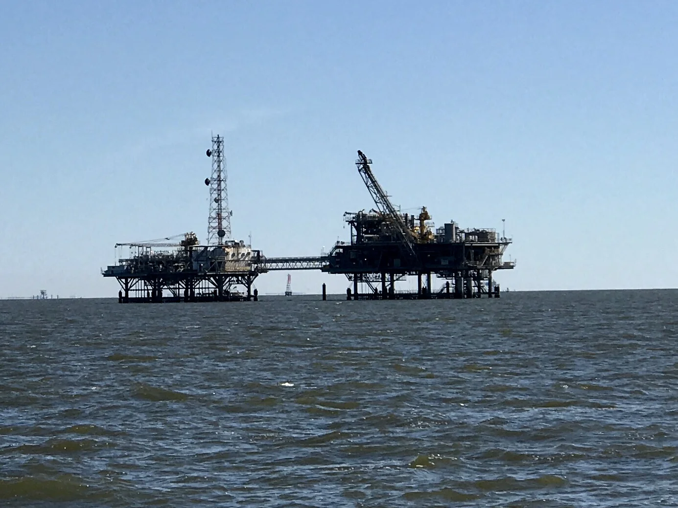
Pic 3, One of many oil derricks in Mobile Bay.
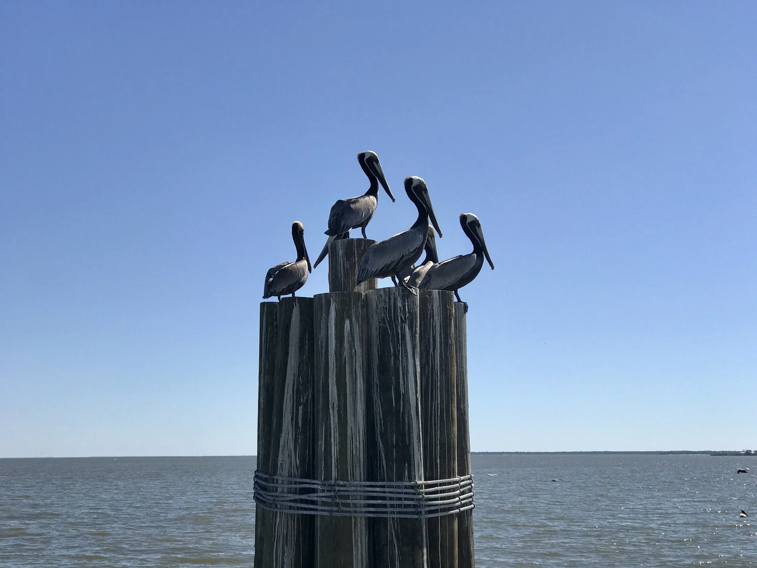
Pic 4, Pelicans rule.
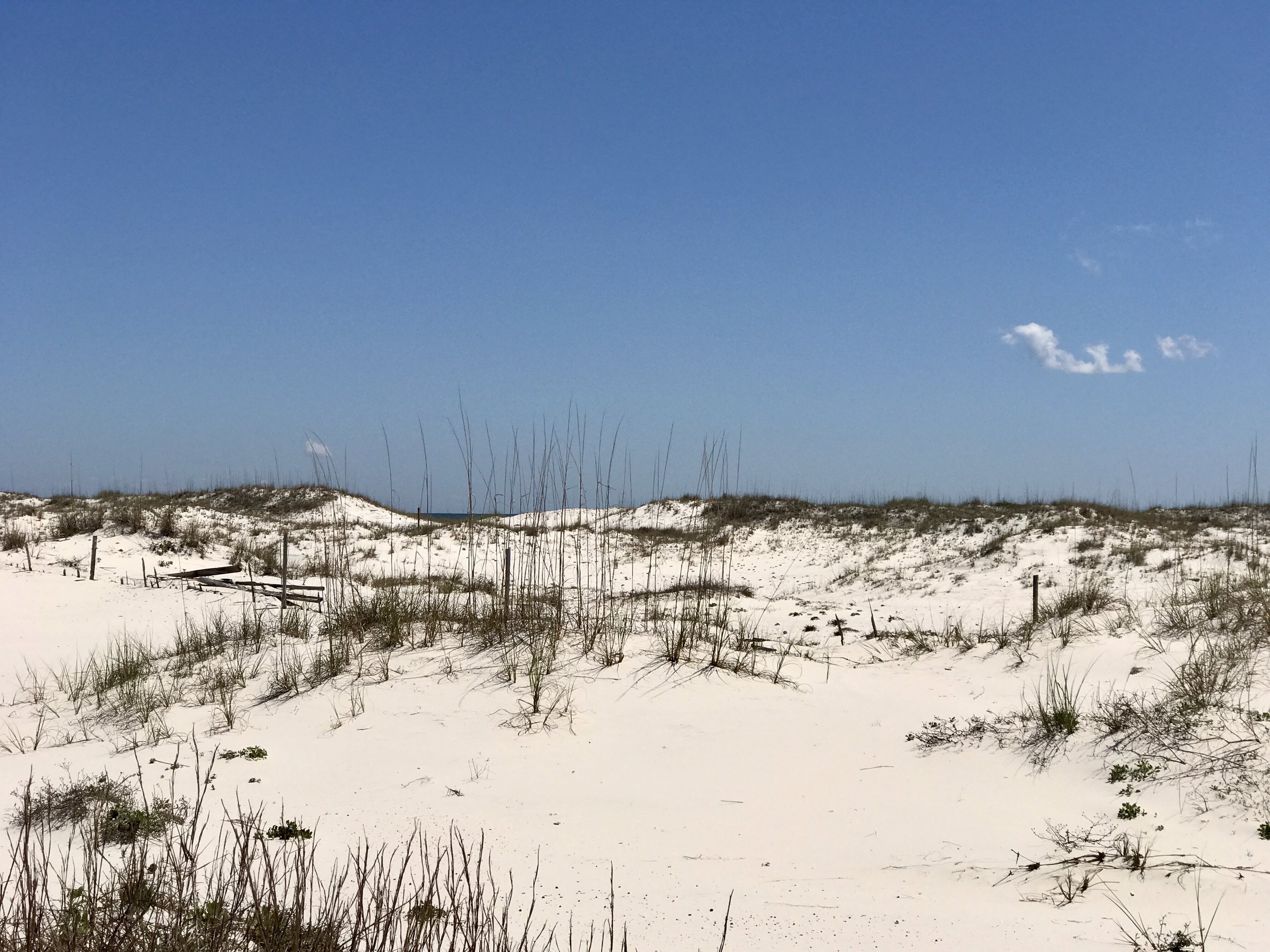
Pic 5, The gorgeous sand in eastern Alabama.
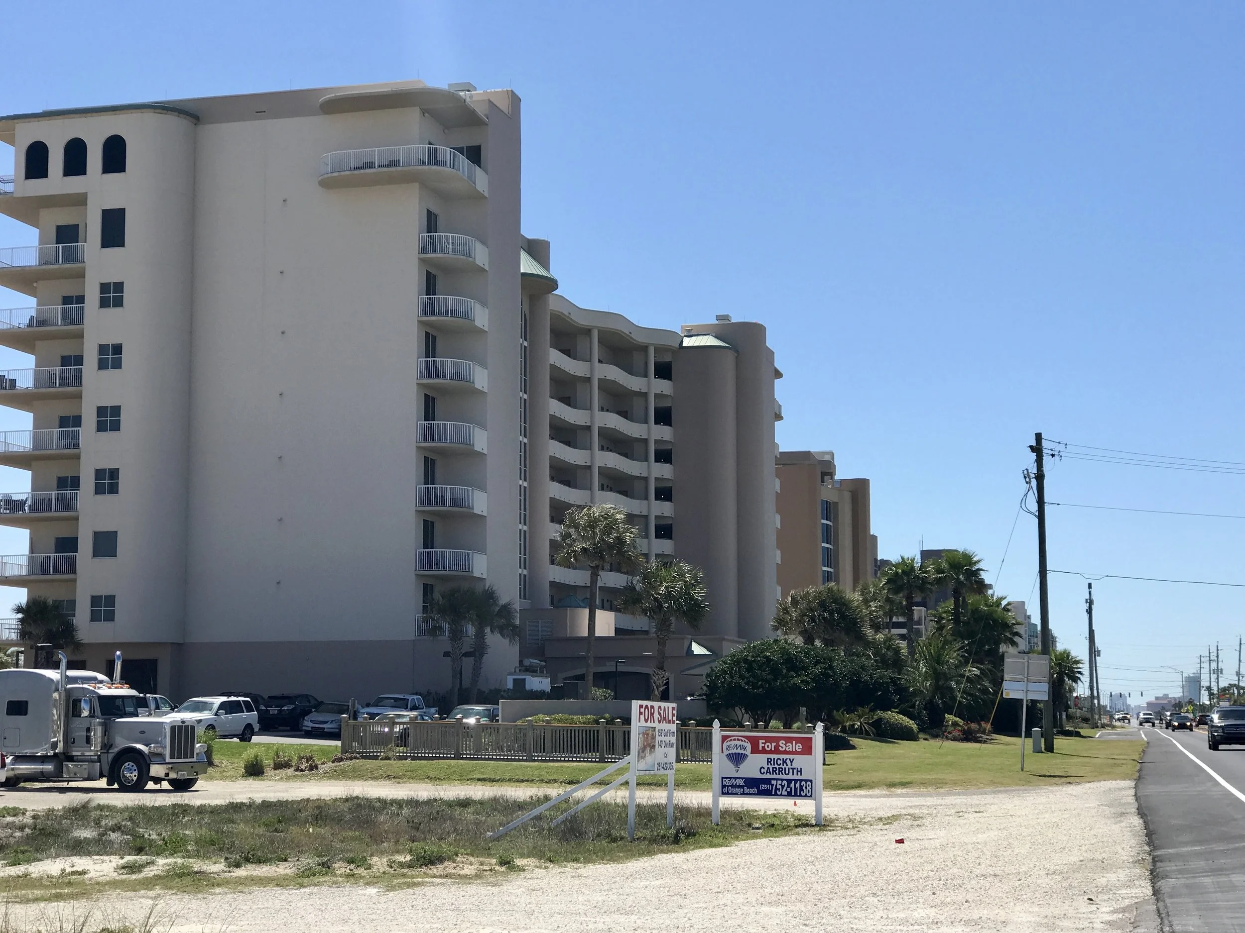
Pic 6, One of many crazy buildings on the beach in eastern Alabama.
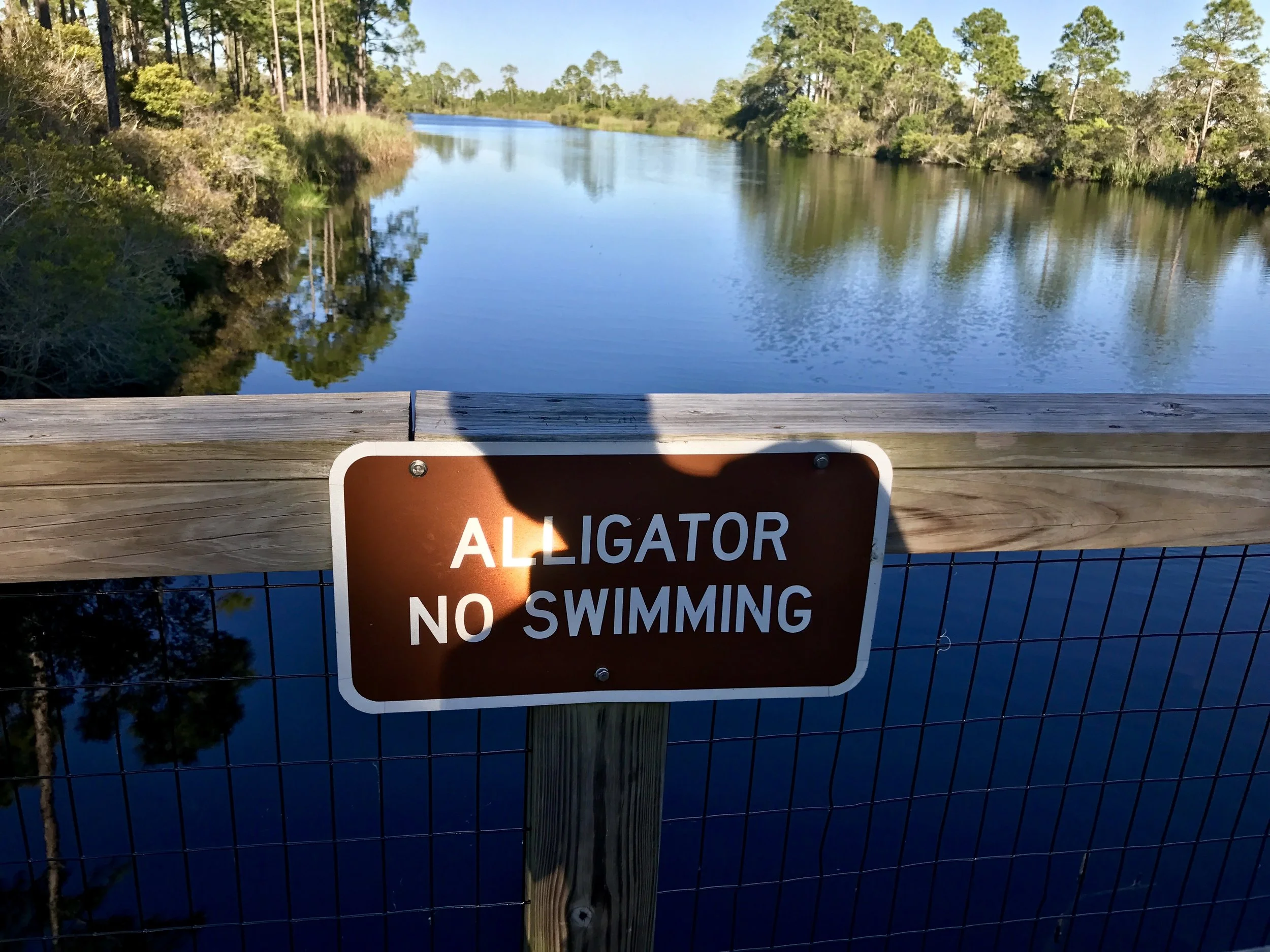
Pic 7, At the Florida state park where I am camping.
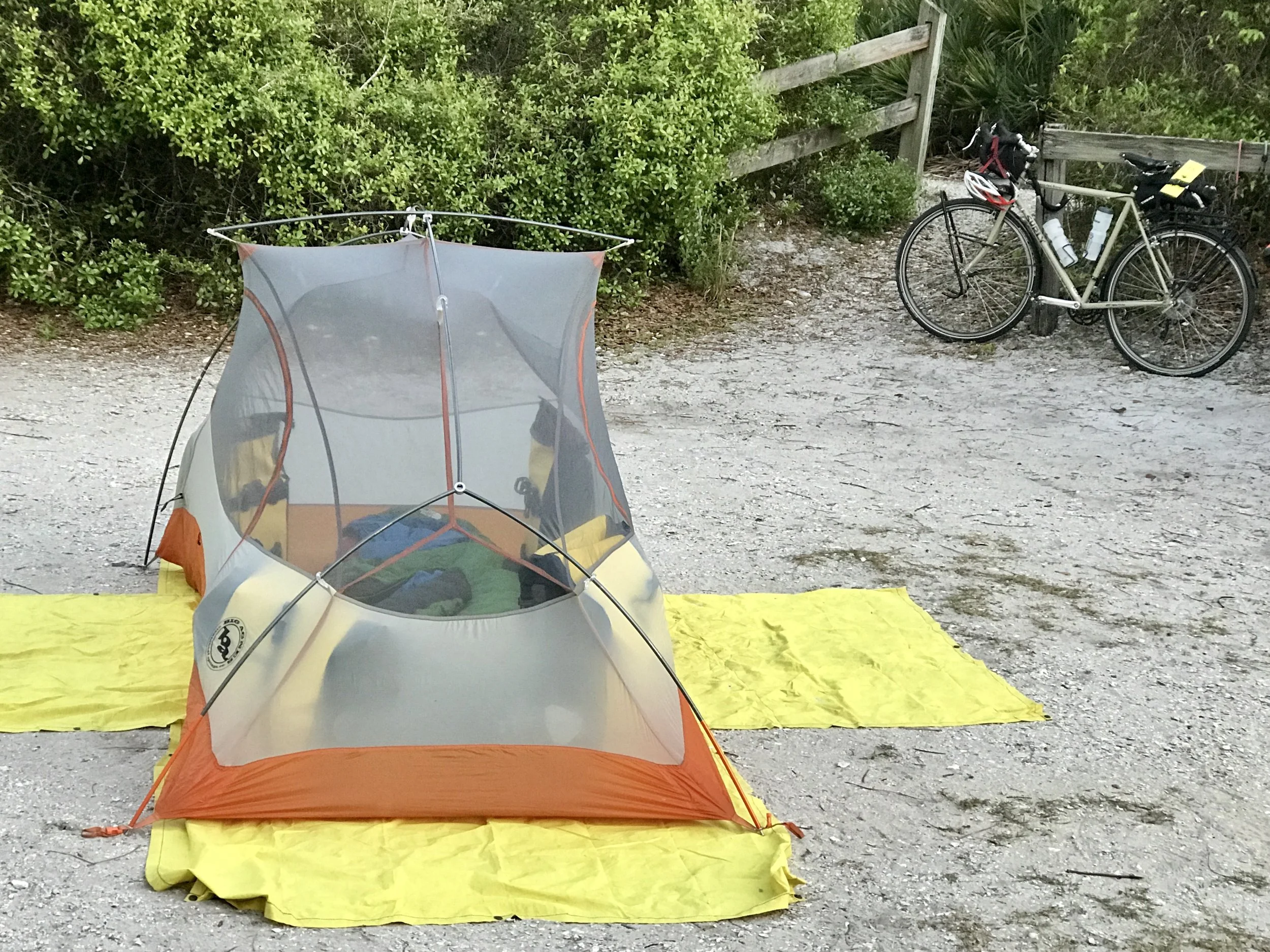
Pic 8, Think I'll sleep ok?
More to come,
Michael