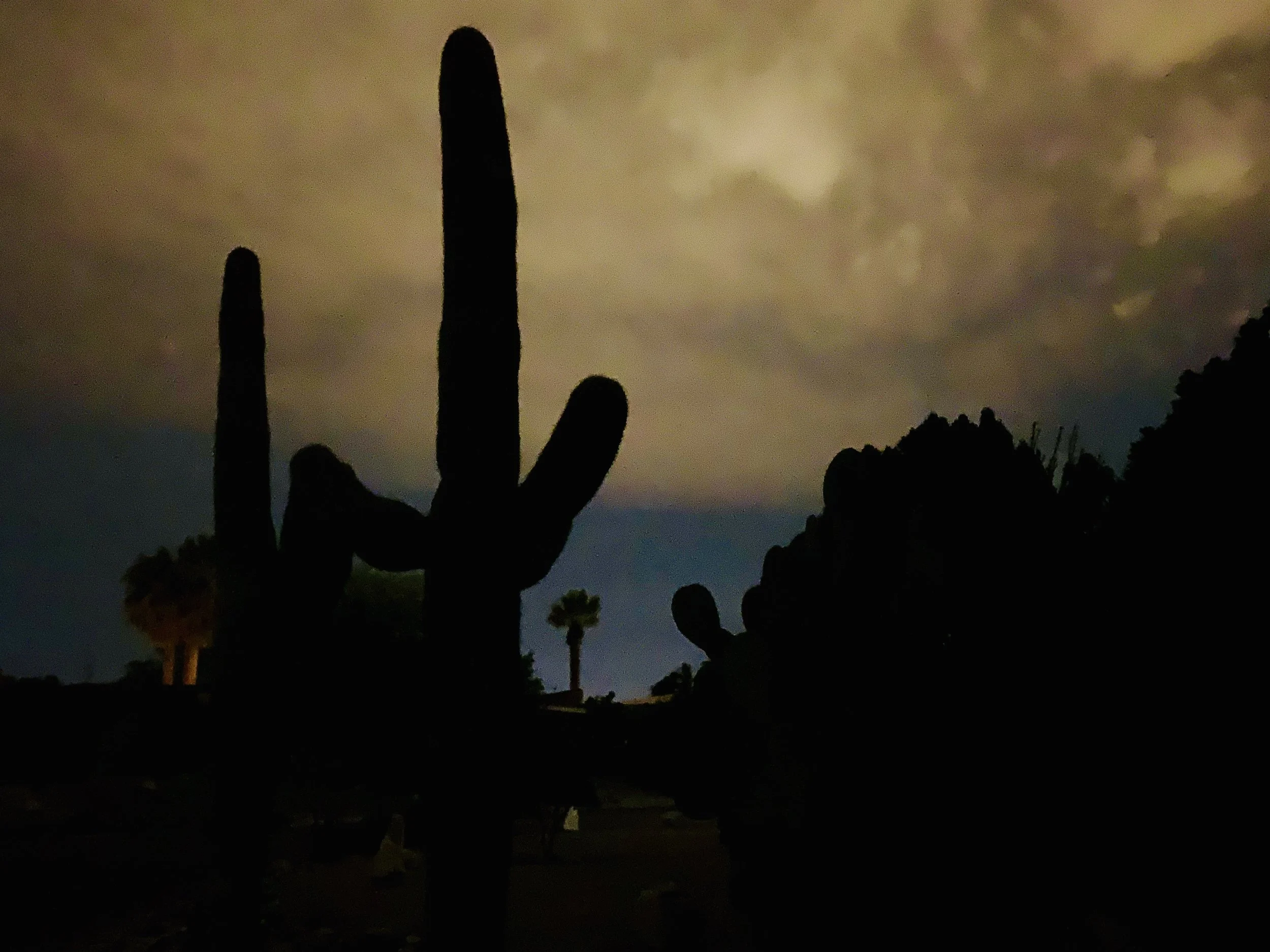
Twilight behind a sugaro cactus in Tucson.
After a one day layover in Portal, AZ, where I hiked near Cave Creek Canyon, I woke to a very cold day. The wind was clocking about 24 miles an hour out of the southeast, so I decided to head northeast to Silver City, NM, thinking that I would then zag southeast the next day to Columbus NM, and then make my way eastward into El Paso.
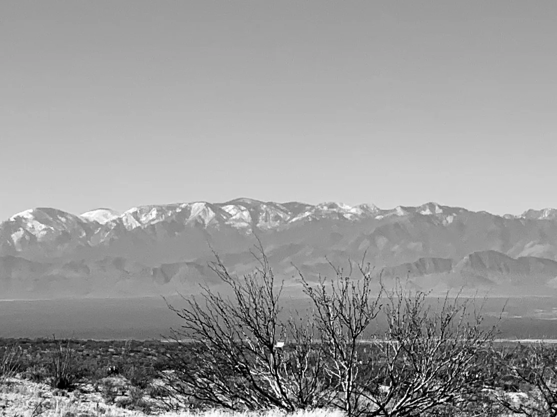
The Chiricahua Mountains on the way to Lordsburg.
Life has a funny way of making us change our plans. The wind shifted to the east. Rain clouds gathered. The temperature dropped. After a very difficult slog of a ride directly into a punishing wind, I arrived in Lordsburg about 45 miles away from Silver City. I wasn't sure what the weather was up to, but I was worried. I found an inexpensive motel and downloaded another wind app for my cell phone, hoping it would give me better capacity to analyze and predict what the next few days were going to be like. I knew there was a raging storm in the Midwest (the Nebraska bomb cyclone) and I assumed its outer edges were the cause of the wind and cold weather coming out of Texas. So I sat in my motel room, finally warm again, thinking about what to do. Near as I could determine the winds were going to remain out of the east/southeast at approximately 15 mph for the next 4-5 days. Additionally, rain and some snow were forecast for the entire region for the next few days. I knew I could make it to El Paso one way or the other as planned, and I also knew the trip was likely to be difficult and miserable.
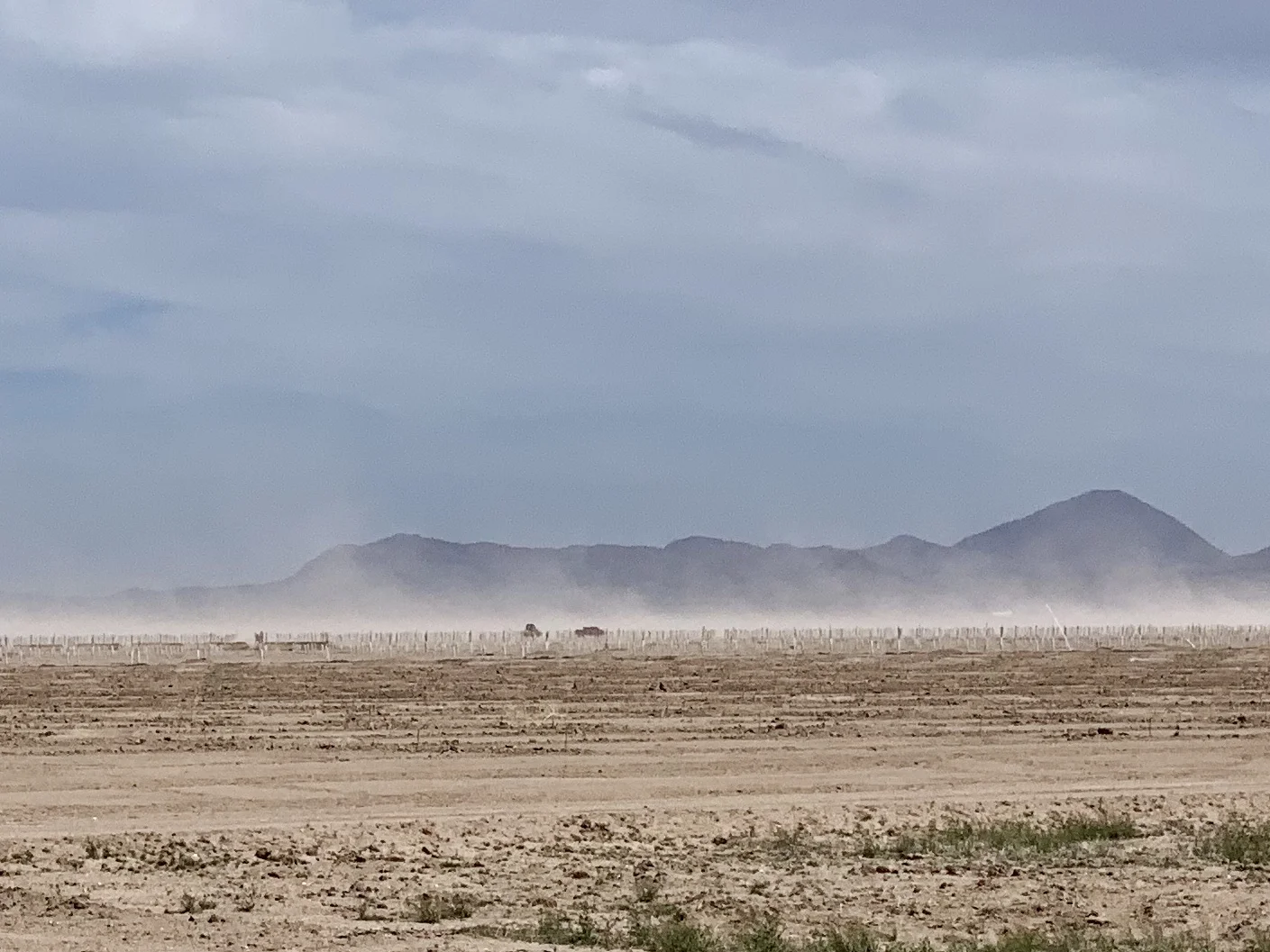
The wind stirs up dust on the way to Lordsburg.
I called my Dad in California, and my Mom in Illinois. I also called my kids. That might seem like a strange comment coming from a grown man in his 60's, But for those of you tracking older parents and grandkids, you'll recognize the behavior. I wanted to be certain my eastward direction under such conditions didn't make it difficult to get to either parent should the need arise. And I wanted to know if changing my itinerary and visiting my kids and grandkids a month or so later than previously planned would be ok.
I was improvising based on weather, just as humans have done for thousands of years. That is, before we insulated ourselves from it through our technology. Yet, our very attempts to tame it have only made it more foreboding. As the recent bomb cyclone in Nebraska - and the even more devastating cyclone in southeastern Africa - remind us, the weather will always humble us. We can't defy physics.
After discussions with various family members, I decided to return to Tucson where the weather was milder, and catch a train up to San Jose to my Dad's place. Right now I'm sitting in a lovely Landmarked train station in Tucson. I travel tonight on the Sunset Limited and will arrive into LA the morning in time to catch the Coast Starlight up to San Jose tomorrow. As usual, I will roll my bike up to the baggage car. For only $20 more a ticket there's no better way to get a bicycle somewhere (other than riding it, of course).
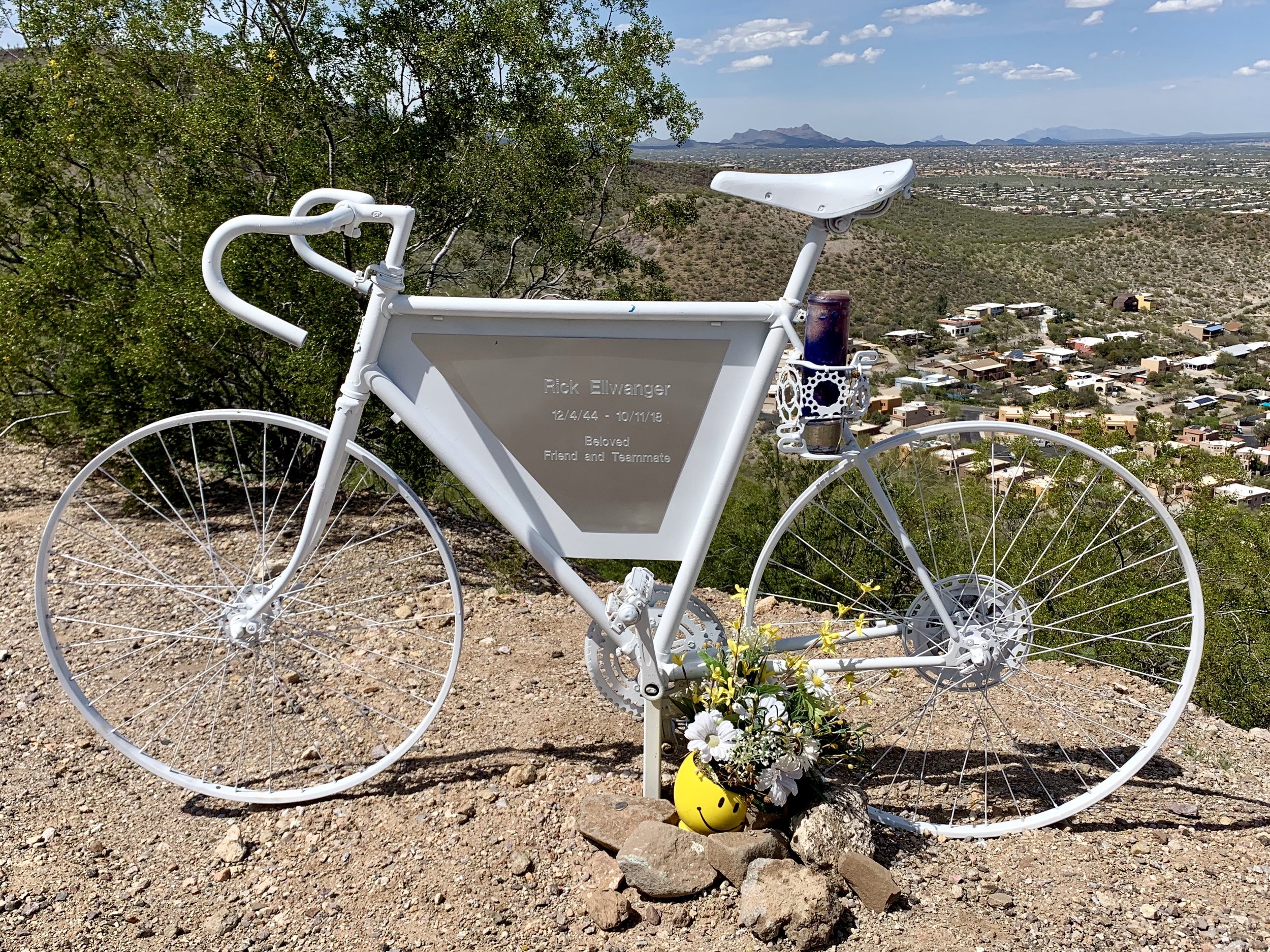
One of my intentions, for now, is to avoid an effigy in my honor. I came across this one on "A" Mountain east of Tucson.
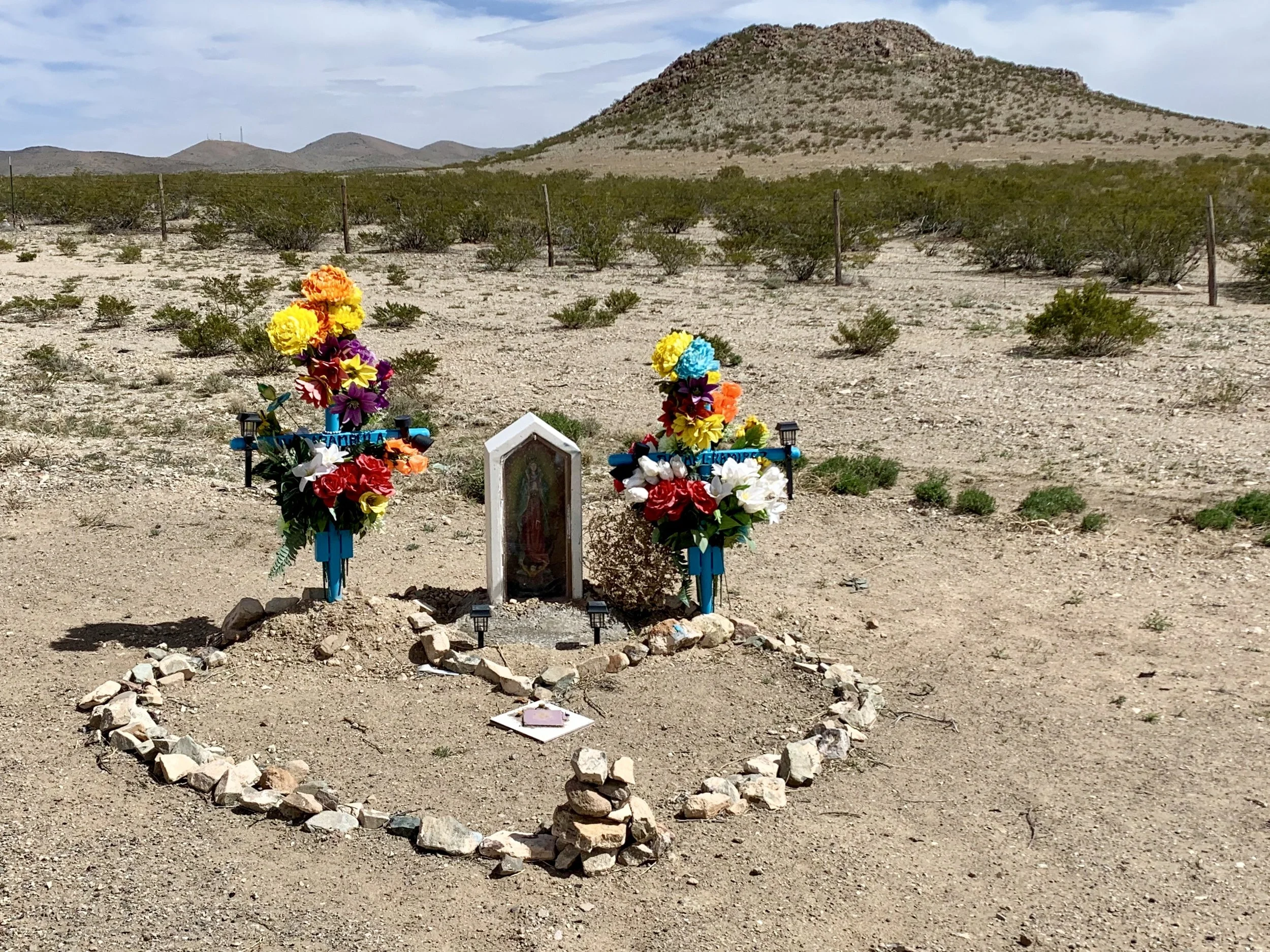
Seen in western NM.
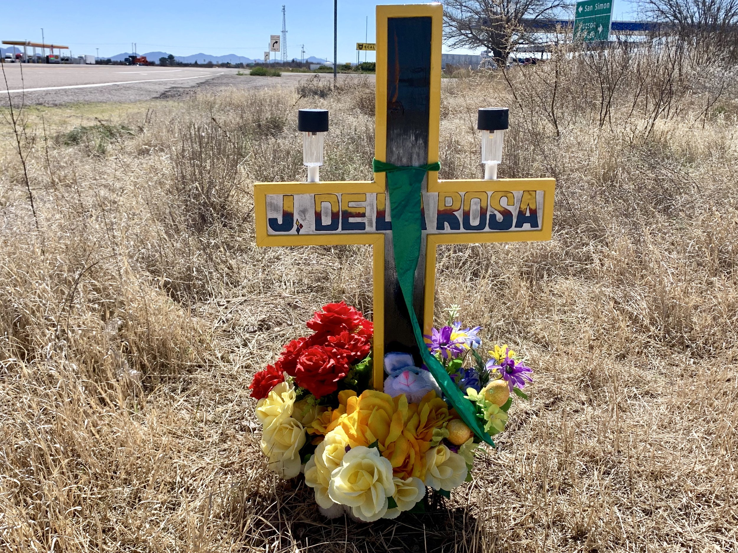
Seen in eastern Arizona.
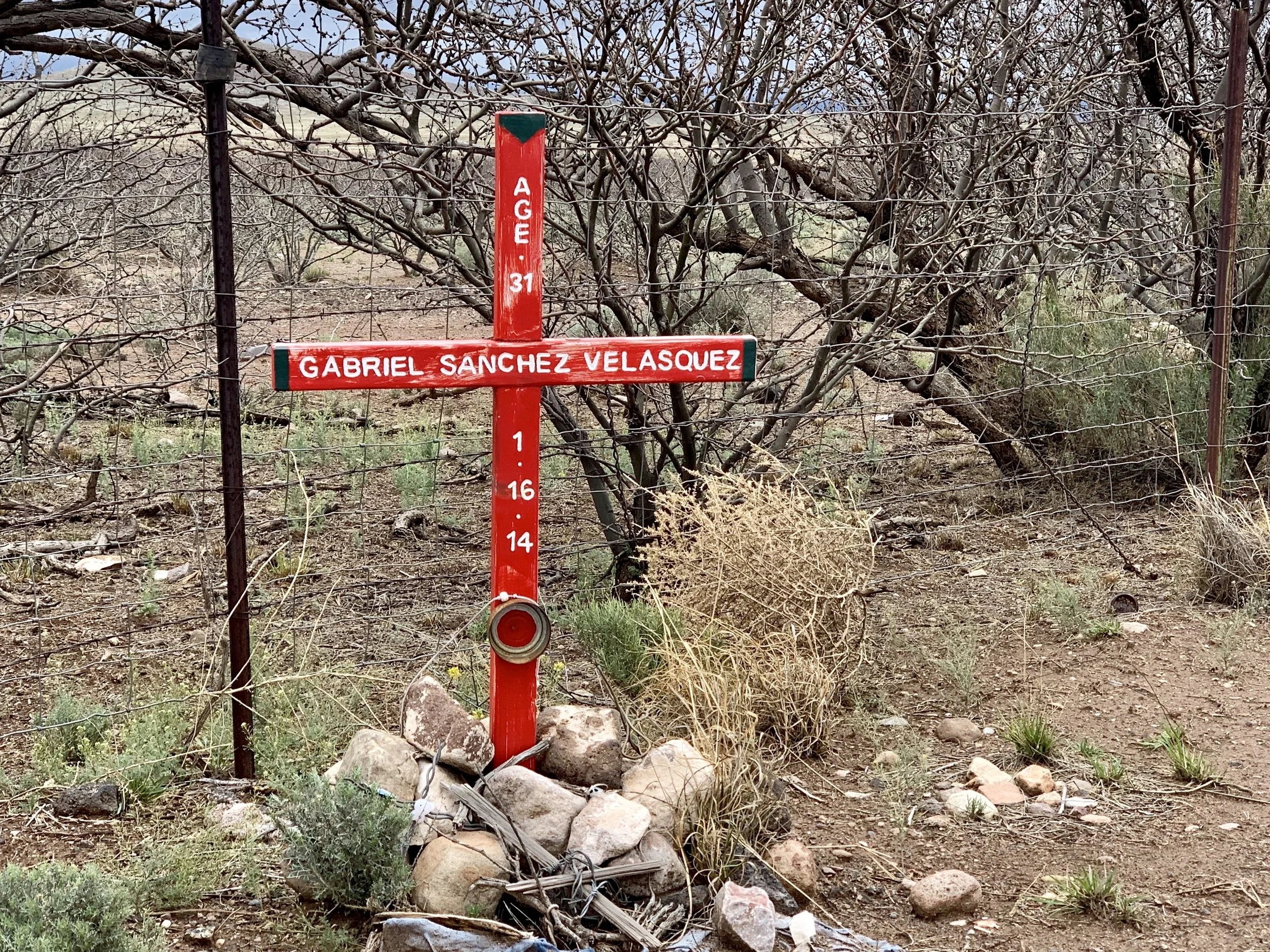
Seen near Douglas, AZ
The new plan made me breathe easier, and sleep a bit more deeply. That said, I'm sorry to have missed exploring route 9 and the towns of Columbus, NM, where Pancho Via "invaded" the US at the battle of Columbus in 1917, and Antelope Wells, NM - which I am told is a hot spot for Border Patrol action. I'll be back.
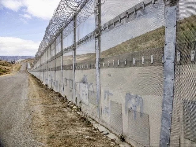
The border near Nogales, AZ. Photo credited to USA Today.
I can't say that I've seen much near the border that suggests we have a crisis of "invasion". Where I've been it seems quiet, "normal" and only subtly militarized. As per the pictures I've already posted, the fences are ugly and the concertina wire is threatening. I've been reading an interesting book titled "Storming the Wall; Climate Change, Migration and Homeland Security" by Todd Martin. If the numbers of illegal immigrants on our southern border are actually increasing (recent reports suggest that is true) they are mostly immigrants from Guatemala, El Salvadore and Honduras. And, according to Todd Martin, these countries are experiencing devastating drought, and are climate refugee "canaries in the mine" for what lies ahead.
Apparently, migrants from these countries turn themselves into Border Patrol at their soonest opportunity with the intention of applying for asylum. Most are farmers who are no longer able to survive on their land. If they flee to nearby cities, they and their families are subject to horrific gang violence. So they come north, hoping they can gain asylum in the United States. If there is a crisis, it's a humanitarian one, and one that a wall might even exacerbate. Here's an article in "Scientific American" that explains the underlying issue more deeply.
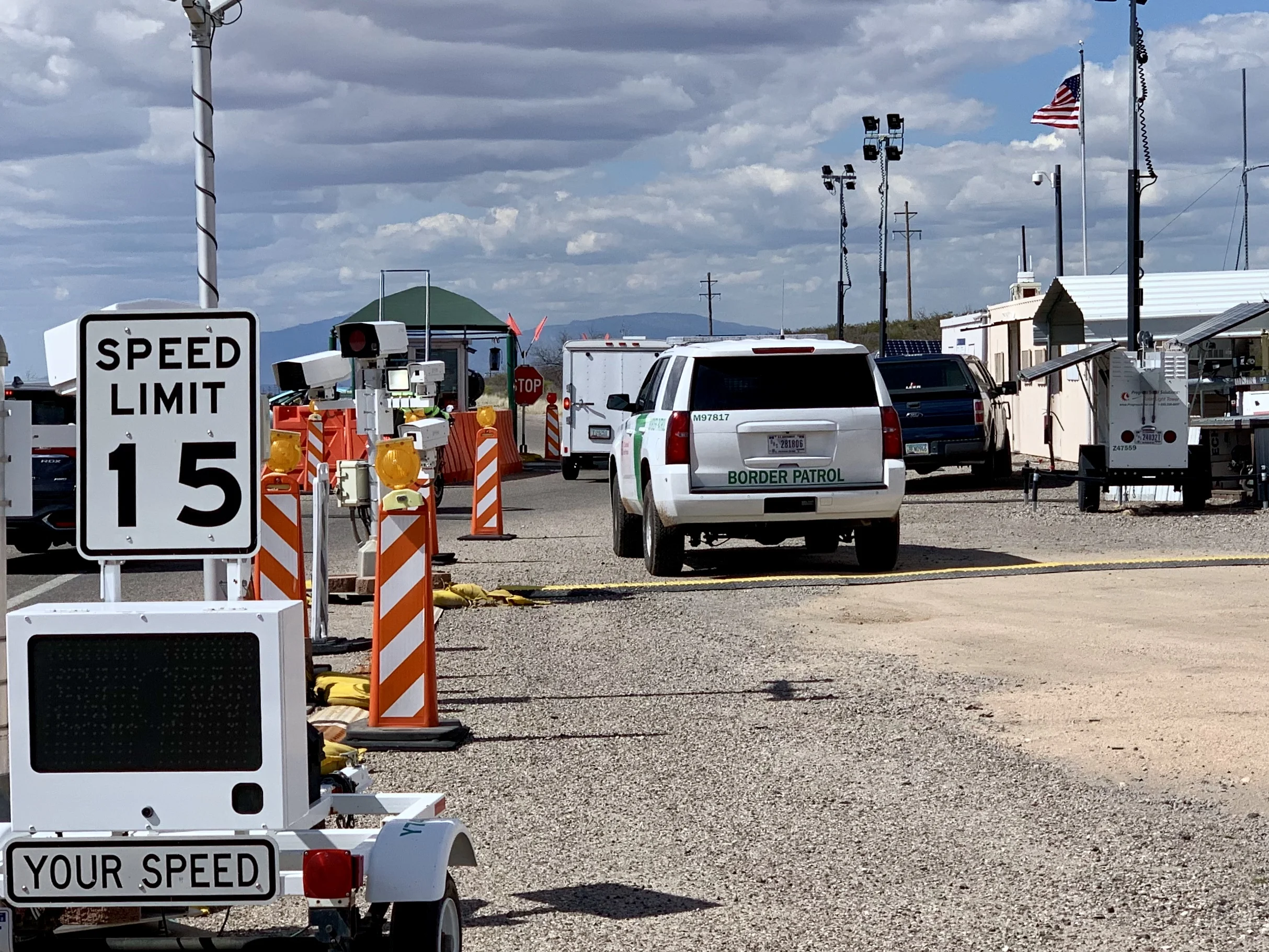
One of hundreds of checkpoints on a north/south road just south of Interstate 10. They are intended to keep migrants from gaining access to our interstate system. I've passed through several. Each time I've asked the agents if it was busy that day, and each time the answer was no.
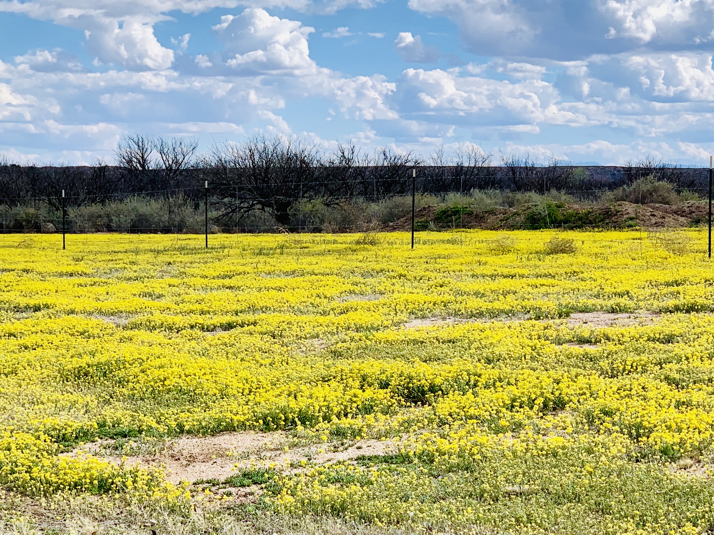
Fields of daisies are common here this time of year.
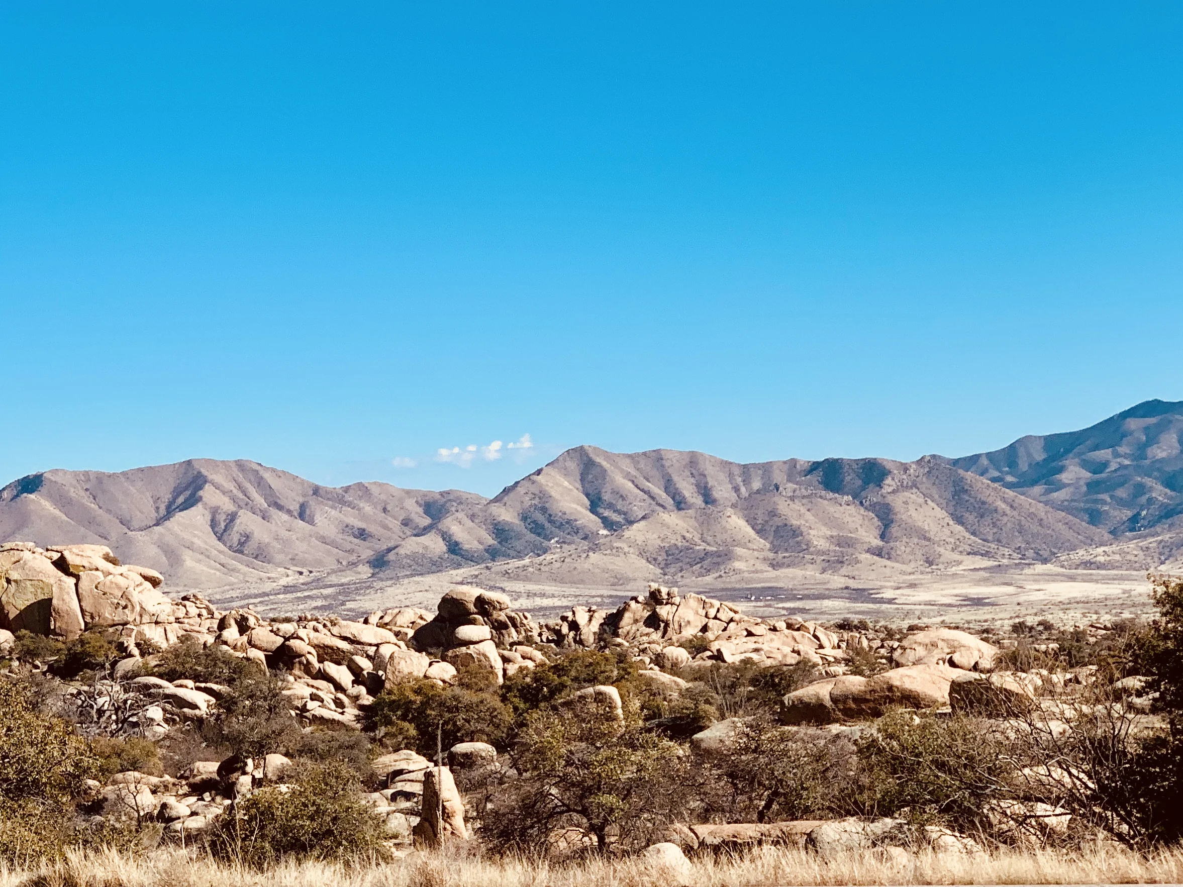
A view to the south about 50 miles east of Tucson.

A rattlesnake seen on a bike trail near Tucson. As it gets hotter, they get more active.
Next week I fly back to New York. It will be another month or so before I start my next cycling adventure, so you'll notice a lag in my blog posts. But, as always, there's more to come.
All photos, unless credited or otherwise noted, are copyrighted property of the blog post author.