Southern Tier, Post 37
Day 39, Post 37: What a curvy river the Mississippi is this far south - and huge! In Baton Rouge I saw several large ocean going tankers heading downriver. This surprise me because I'm still 75 miles from the delta. So I checked Wikipedia: "The Port of Greater Baton Rouge is the tenth largest port in the United States in terms of tonnage shipped, and is the northernmost port on the Mississippi River capable of handling Panamax ships". I had to look up Panamax - "any vessel intended for regular use in both the Atlantic and Pacific oceans".
Anyway, I'm impressed. I made my way to a bike path alongside the river that runs along a considerable levee - which appears to be built on both sides of the river all the way from Baton Rouge to New Orleans. I followed the levee until the path turned to gravel and then stayed near the levee on a road that followed its perimeter. I followed the curve in the river for about 10 miles, the levee always on my right and stunning farmland to my left. Had I not been battling a 15-20 mph headwind the entire time I would have found this ride heavenly... but alas, the wind beat me down and after a while I knew my strength would not hold out. I left the river bank and headed to the nearest town (about 20 more miles in a headwind) and found shelter in a motel. The wind is supposed to be up to 25 mph tomorrow, still out of the south but a bit more to the west. Well, tomorrow is tomorrow - I'll deal with whatever comes my way... One way or the other I'll be in New Orleans by Tuesday afternoon.
Check out my road cycling activity on Garmin Connect.
https://connect.garmin.com/modern/activity/1655300545
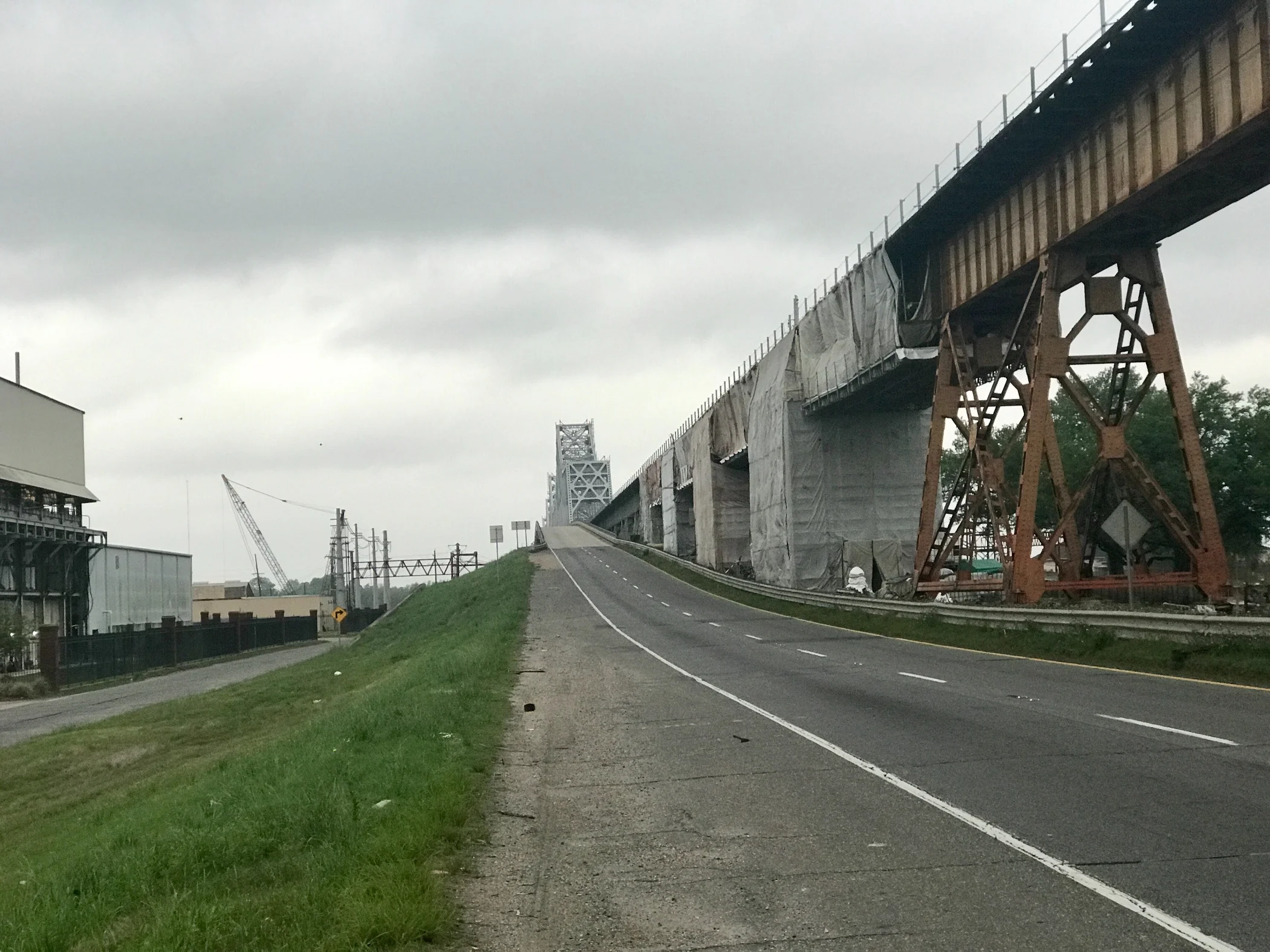
Pic 1, Looking back at the bridge I biked over to get into Baton Rouge. I would have loved to have taken a picture of the river at the top, but there was no shoulder and lots of traffic, so stopping was not possible.
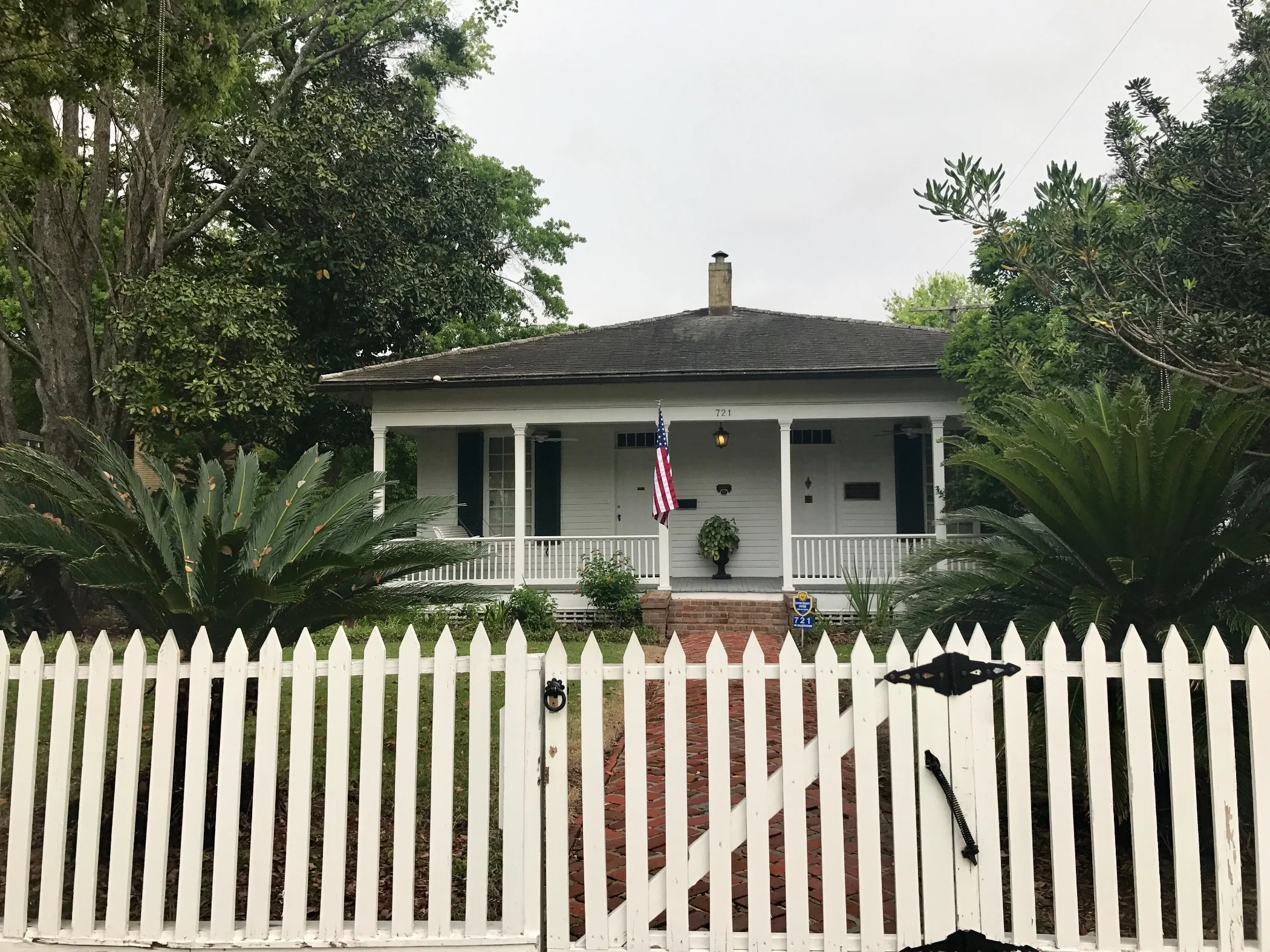
Pic 2, A typical late 19th century Spanish home in Baton Rouge.
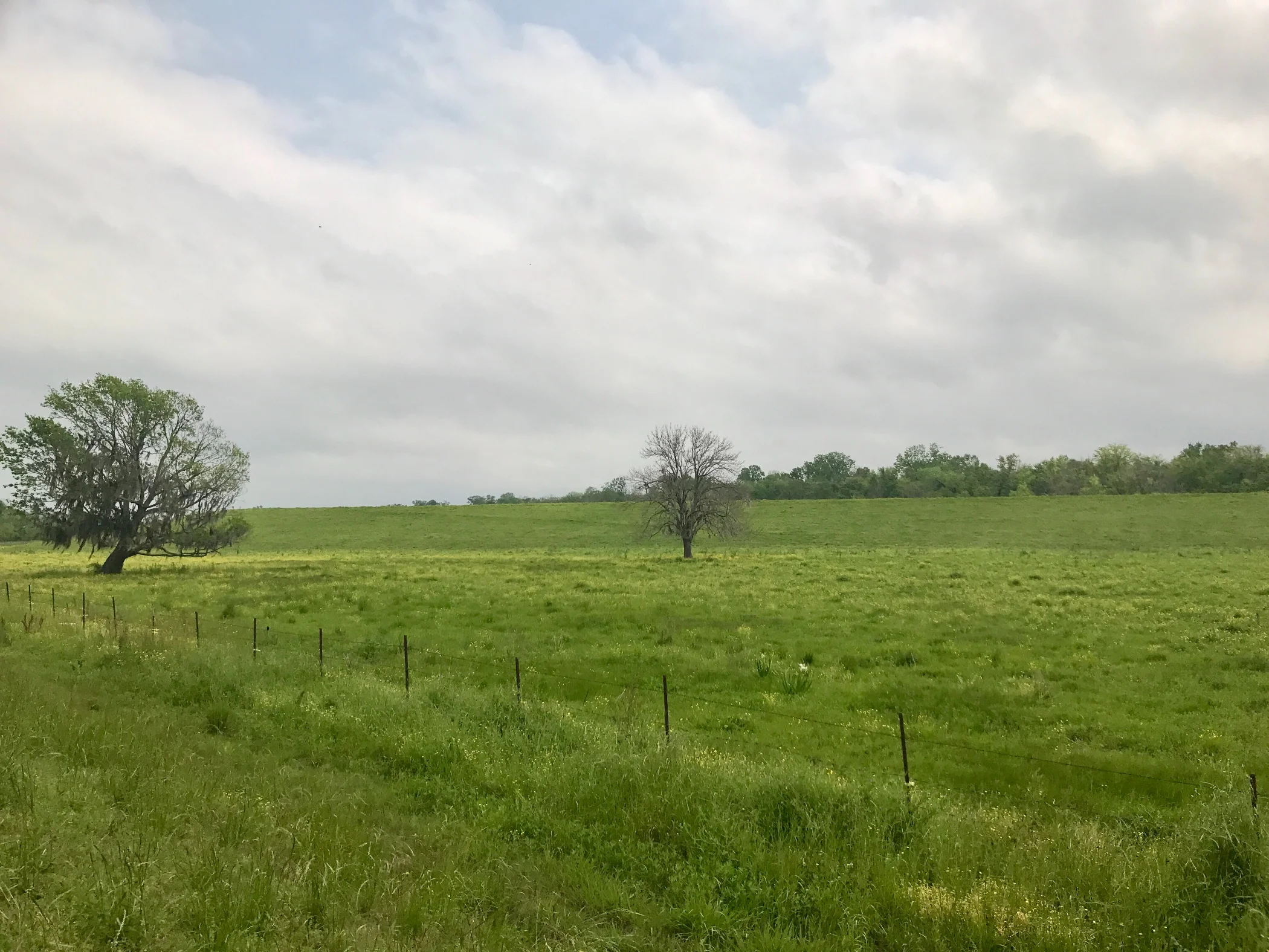
Pic 3, The landscape near the levee in a bend of the river.
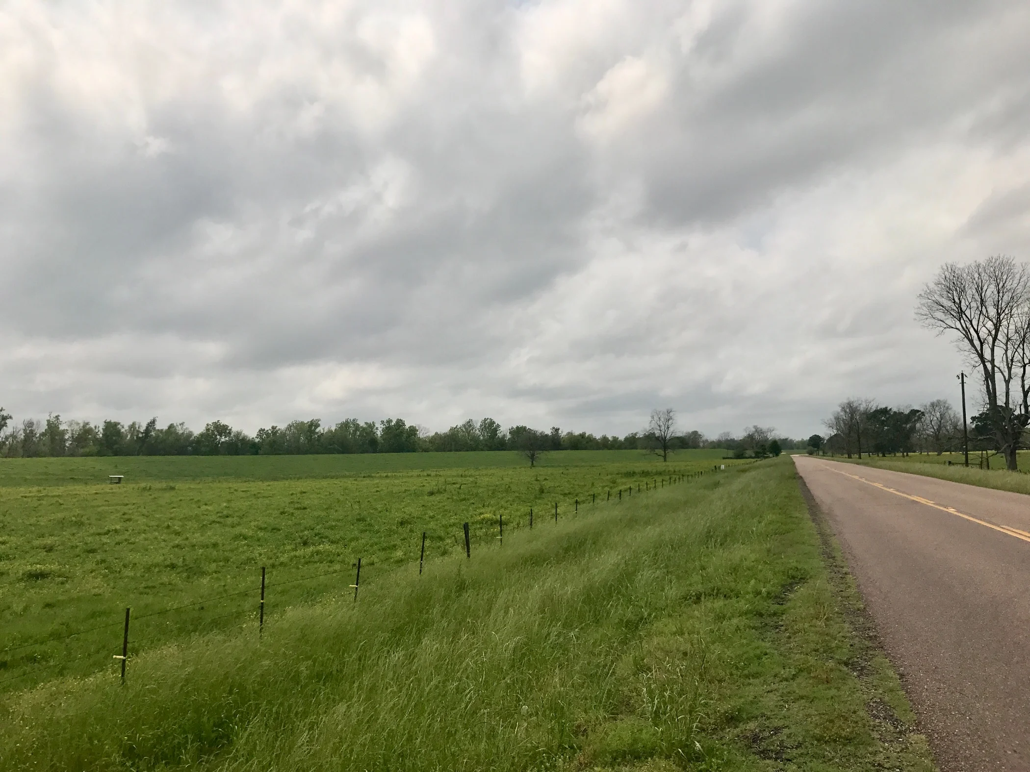
Pic 4, Same as above, different view.
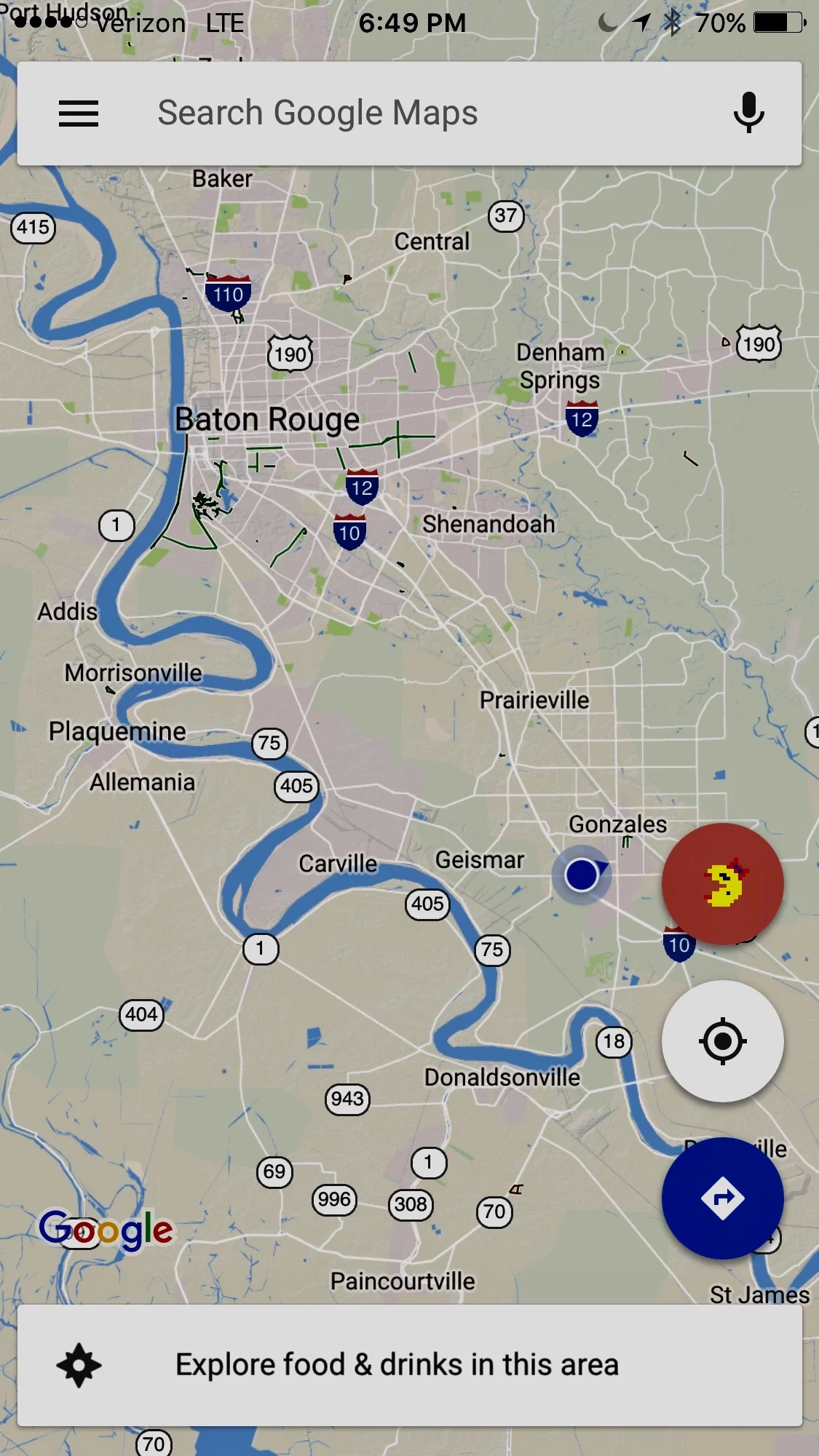
Pic 5, Google Maps showing the curves in the Mississippi south of Baton Rouge.
More to come,
Michael