Southern Tier, Post 38
Day 40, Post 38: The storm moved in, and during the night I was aware of thunder and rain. When I awoke in the morning the forecast called for the rain to end soon, and for the day to clear. The wind forecast was now at 7 mph out of west. Perfect! When I left Gonzalez, LA, I could tell the day was going to become beautiful.
And so it was. It took about 20 miles of unpleasant riding to finally get back to the ACA "Southern Tier" because the nearest road back to the route looked dangerous and I made the decision to go out of my way to avoid it. It was a poor choice in the end because I had to ride for over ten miles on a highway with the most potholed, buckled shoulder I have ever encountered. That's the breaks in the long distance cycling game - sometimes one will encounter a horrible road and be forced to ride on it. I will also add that I have come to respect the care the ACA puts into their road choices. Riding with their maps definitely makes one's ride safer and more pleasant. They can be trusted.
Once through the tough stuff I returned to the road and levee that follows the north side of the Mississippi. The communities are easy going, and relaxed, although there are patches of heavy industry, most notably petroleum refineries. It's very worth noting that the stretch of communities I've been cycling through are in "cancer alley". Generally speaking, this is the area along the Mississippi River between Baton Rouge and New Orleans which contain numerous industrial plants. Locations in this area with clusters of cancer patients have been covered by the news media, leading to the "Cancer Alley" moniker.
Like so many other life threatening areas, they look less threatening when the weather is good. That was my experience today. I can't say I noticed much beyond petrochemical plants and areas where homes are small and dilapidated. But it is intriguing that since I crossed the border and overnighted in Merryville, I have learned that there are communities here where no one drinks the local tap water. In some areas, folks boil it - in others, they happily drink it out of the tap. In other places they drink bottled water. I've asked a lot of questions, and most people can only tell me what they do, but not why. In other words, if the water in a community is bad, the locals don't seem to know why it's bad. But if general practice is to not drink it, they won't... Then ten miles up the road, the locals brag there's nothing wrong with their water - yet, if I ask, but they won't know why their water is ok, nor why their neighbors' water is considered unsafe.
Tomorrow I will cycle 35 miles along the levee (a designated trail all the way to downtown New Orleans!) and meet up with my friend Carolyn in the late afternoon. On Wednesday I will take my bike to a bike shop to get my entire drive chain rebuilt. If I don't post for a few days, worry not - that just means I'm having fun and I will post on Friday. But who knows - maybe there will be so much to describe I'll just have to get it down...
Check out my road cycling activity on Garmin Connect.
https://connect.garmin.com/modern/activity/1656812112
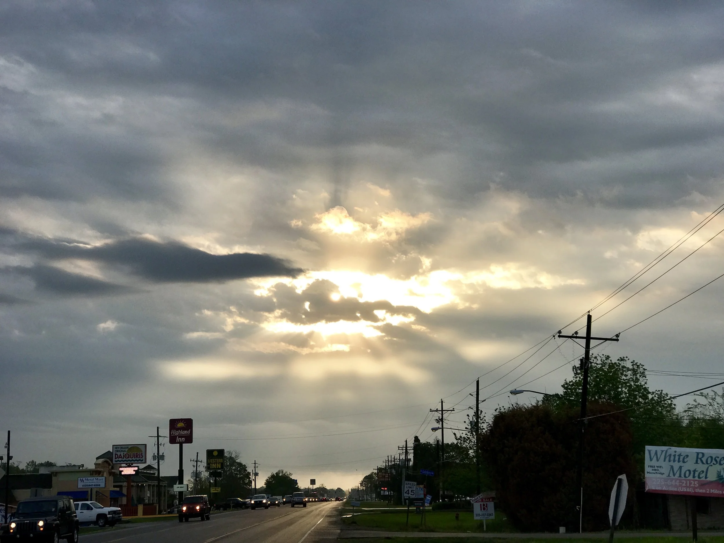
Pic 1, Starting the day after the storm.
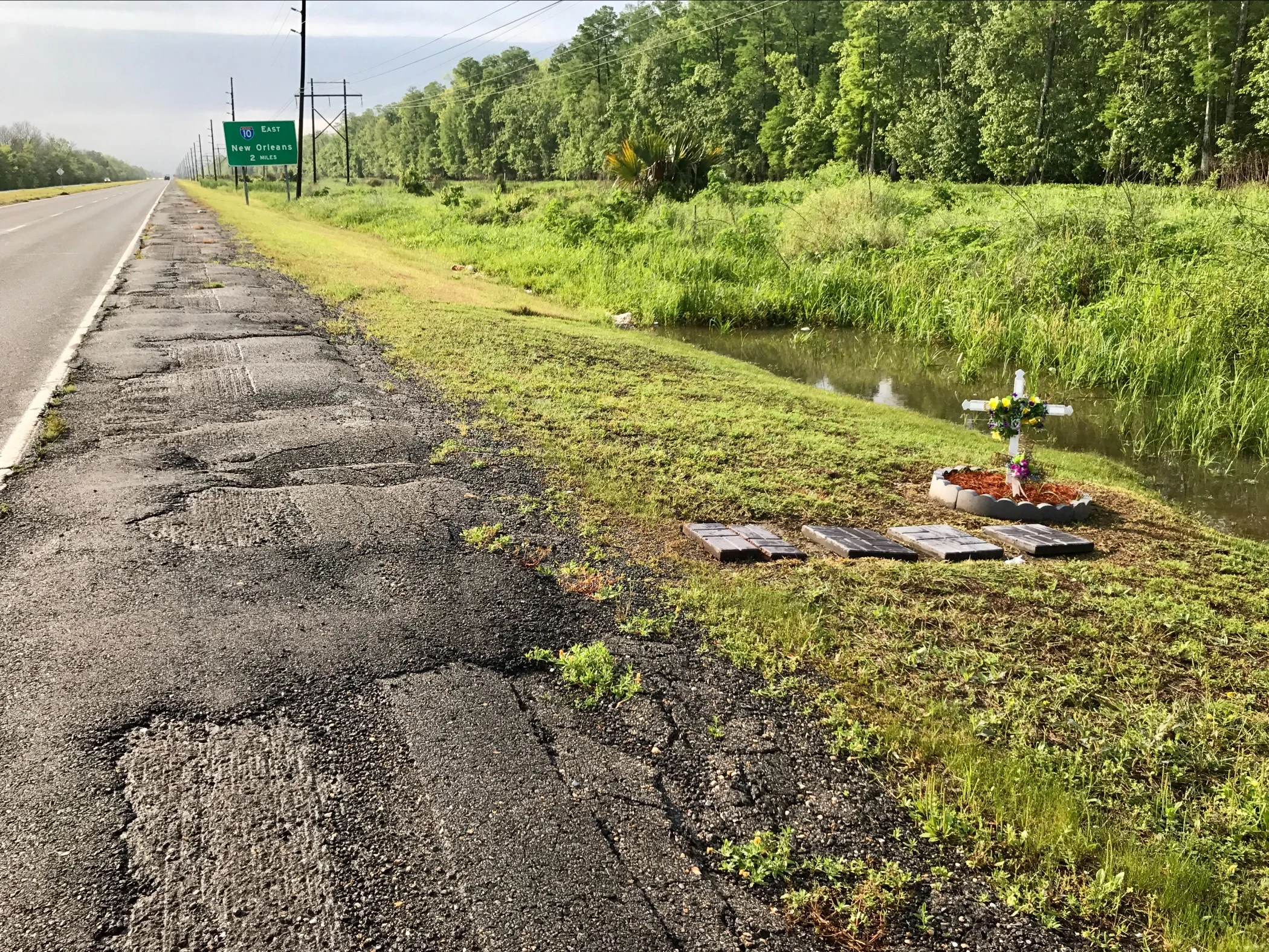
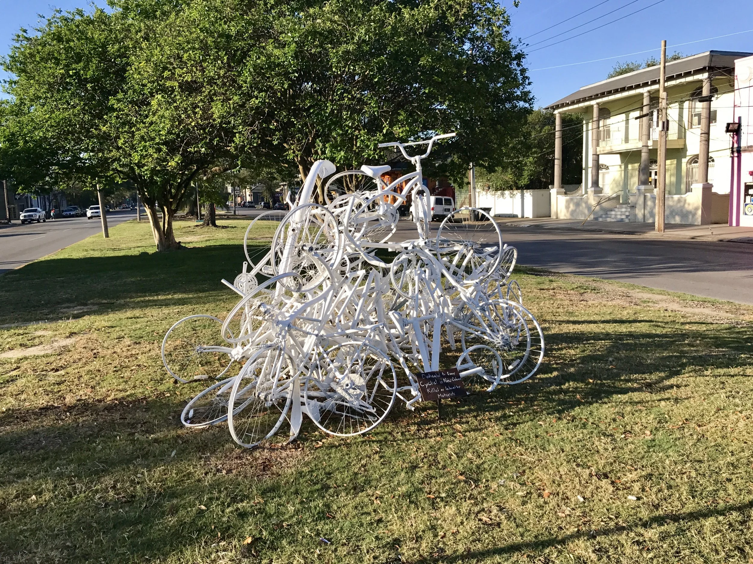
Pic 2, The shoulder on LA 61 going SE. The effigy is quite appropriate - this road is a nightmare!
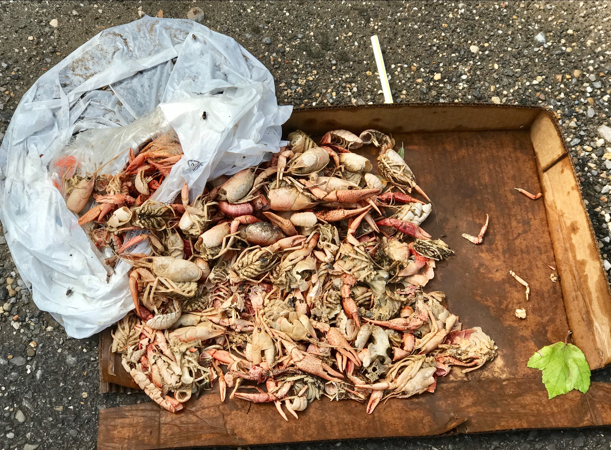
Pic 3, Someone left their crayfish by the roadside... is this roadkill or detritus?
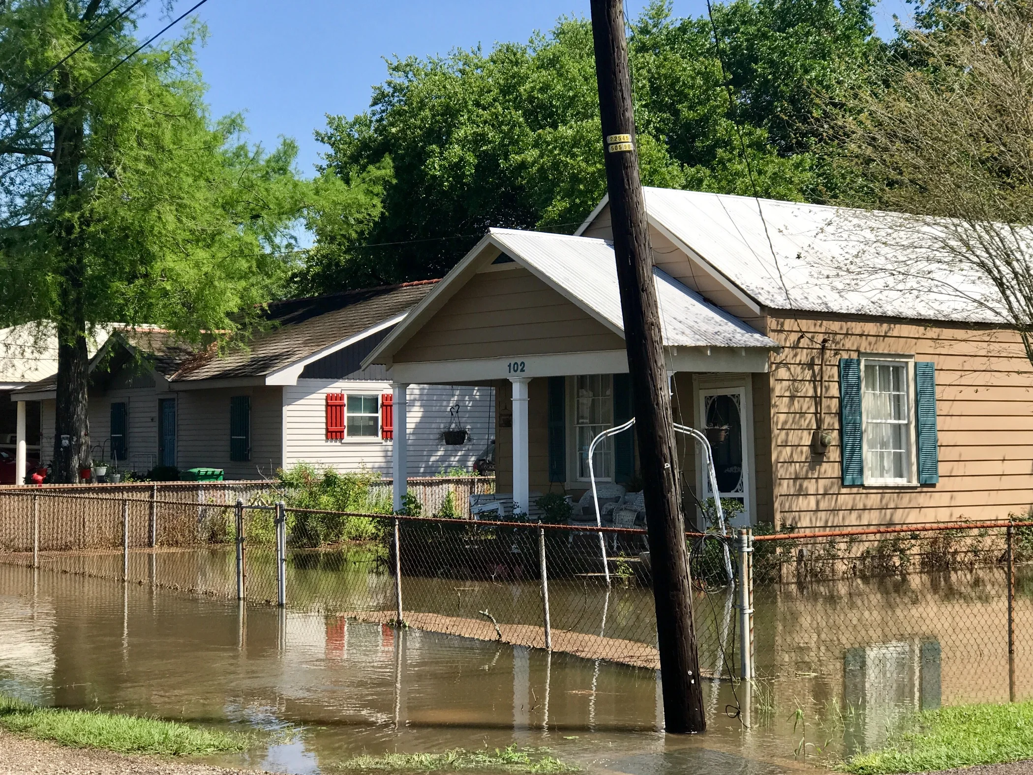
Pic 4, This is what rain does in South Louisiana. The locals tell me the water will be pumped out by end of day.
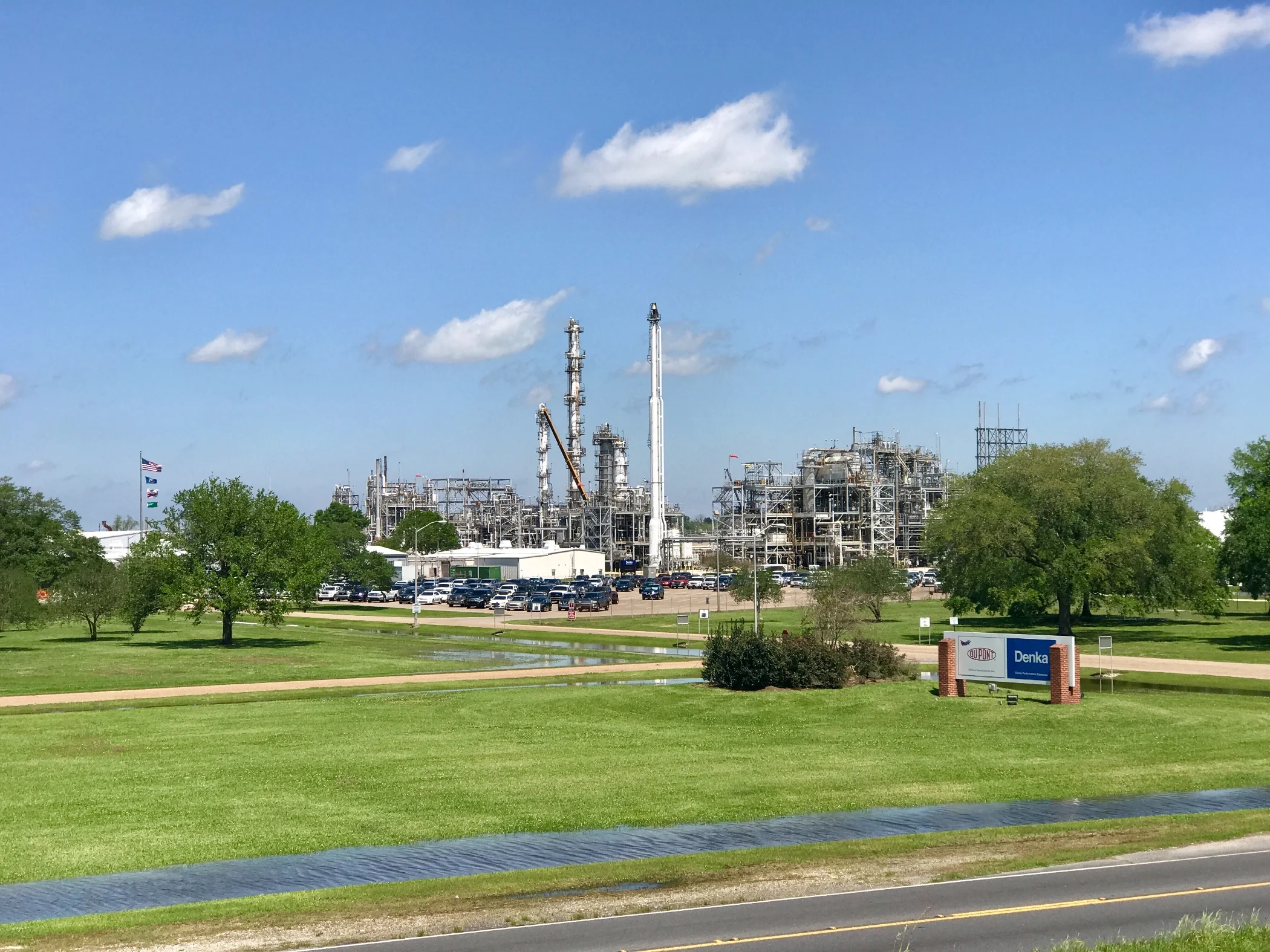
Pic 5, Petrochemical plant as seen from the levee.
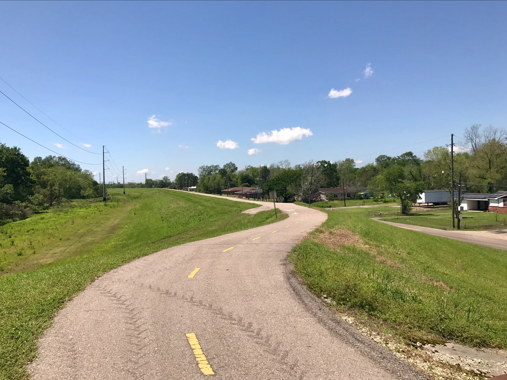
Pic 6, Bike Trail on the levee. This picture doesn't really show how large the levees are - they run on each side of the river from New Orleans up to Baton Rouge - about 100 miles. How far south they go beyond New Orleans I don't know...
More to come,
Michael