
Southern Tier, Post 44
Day 49, Post 44, Bonifay, FL to Quincy, FL: The Panhandle is a pretty place. I imagine it looks similar to what one would see further north in Alabama or Georgia. It's very green, full of forests and fields, farms and woods. I expected to see more horse ranches like around Ocala, but that's not the case. The culture seems very Deep South. I ate lunch at a place where the waitress could have been an over the top character prototype for Dukes of Hazard. I gotta say I certainly enjoy being called sweetie and honey wherever I go. Only young men address me as "sir".
An interesting fact about the town I stopped in for the night. Quincy (its amazing what one can learn on the internet) was once rumored to be home to many millionaires due to the Coca-Cola boom. Mr. Pat Munroe, a banker, father of 18 children from two wives, and W.C. Bradley were among the stockholders of three of the banks that released 500,000 shares of new Coca-Cola common stock. They urged widows and farmers to invest for $40 each. Some did. Eventually that stock split, and made as many as 67 accounted for Quincy residents rich. (In perspective, a single share of Coca-Cola stock bought in 1919 for $40 would be worth $6.4 million today, if all dividends had been reinvested). Today, the median family income is $31,000. Lots of commercial spaces in downtown are for rent. I'm curious about what happened, but I probably won't stay long enough to get a handle on it...
Had a good ride today under partially cloudy skies and increasingly hot and humid weather. For the most part it was flat and easygoing. And I had two interesting pieces of information come at me about yesterday's post. I know a female cyclist who rides solo sometimes, who reminded me on Facebook that she did the Southern Tier with no problems at all. In addition, my entertaining lunch waitress told me that two women who were cycling the Southern Tier from San Diego had stopped in the restaurant a few days back.
Check out my road cycling activity on Garmin Connect.
https://connect.garmin.com/modern/activity/1673670894
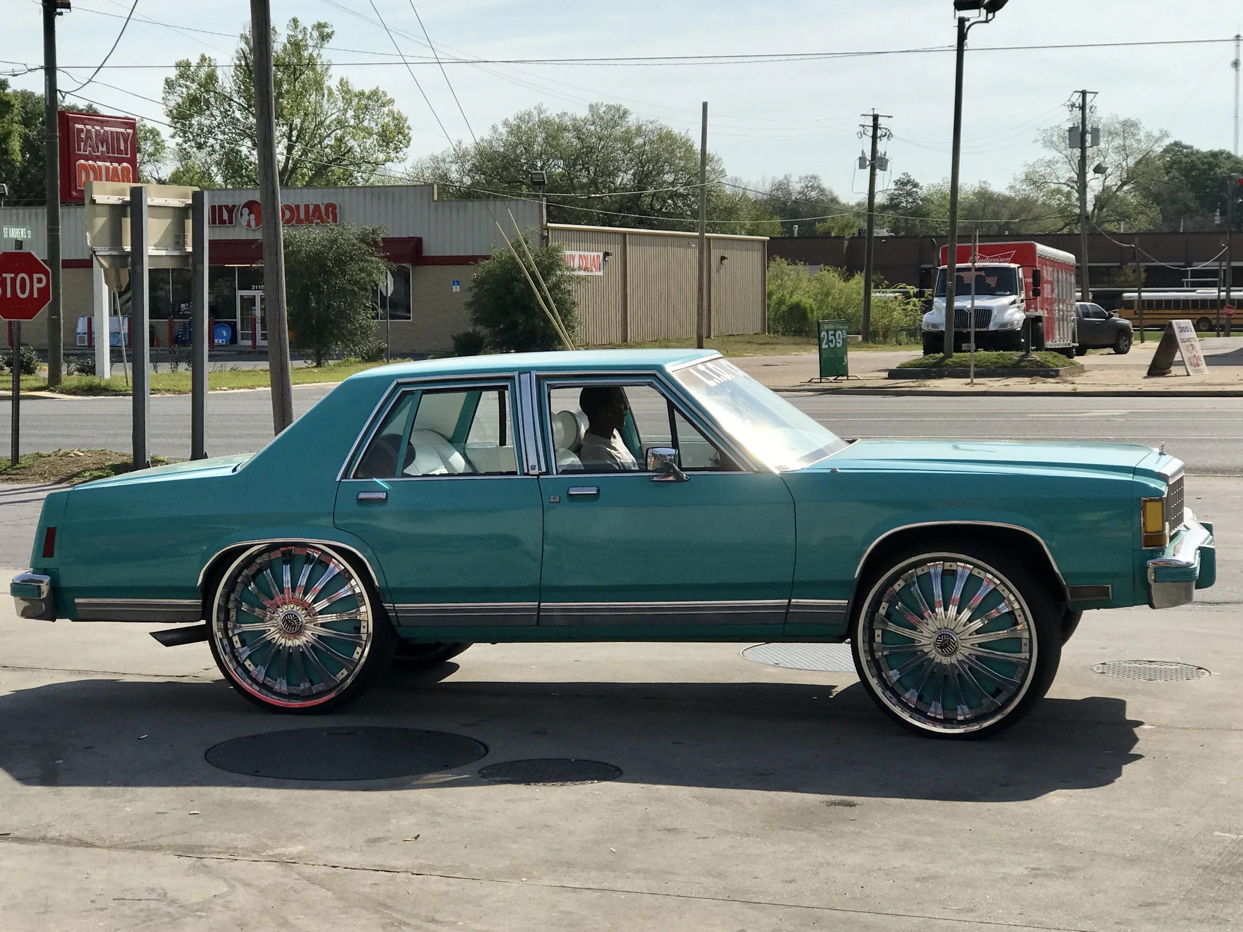
Pic 1, Couldn't resist taking a shot of this car in Chipley, FL.
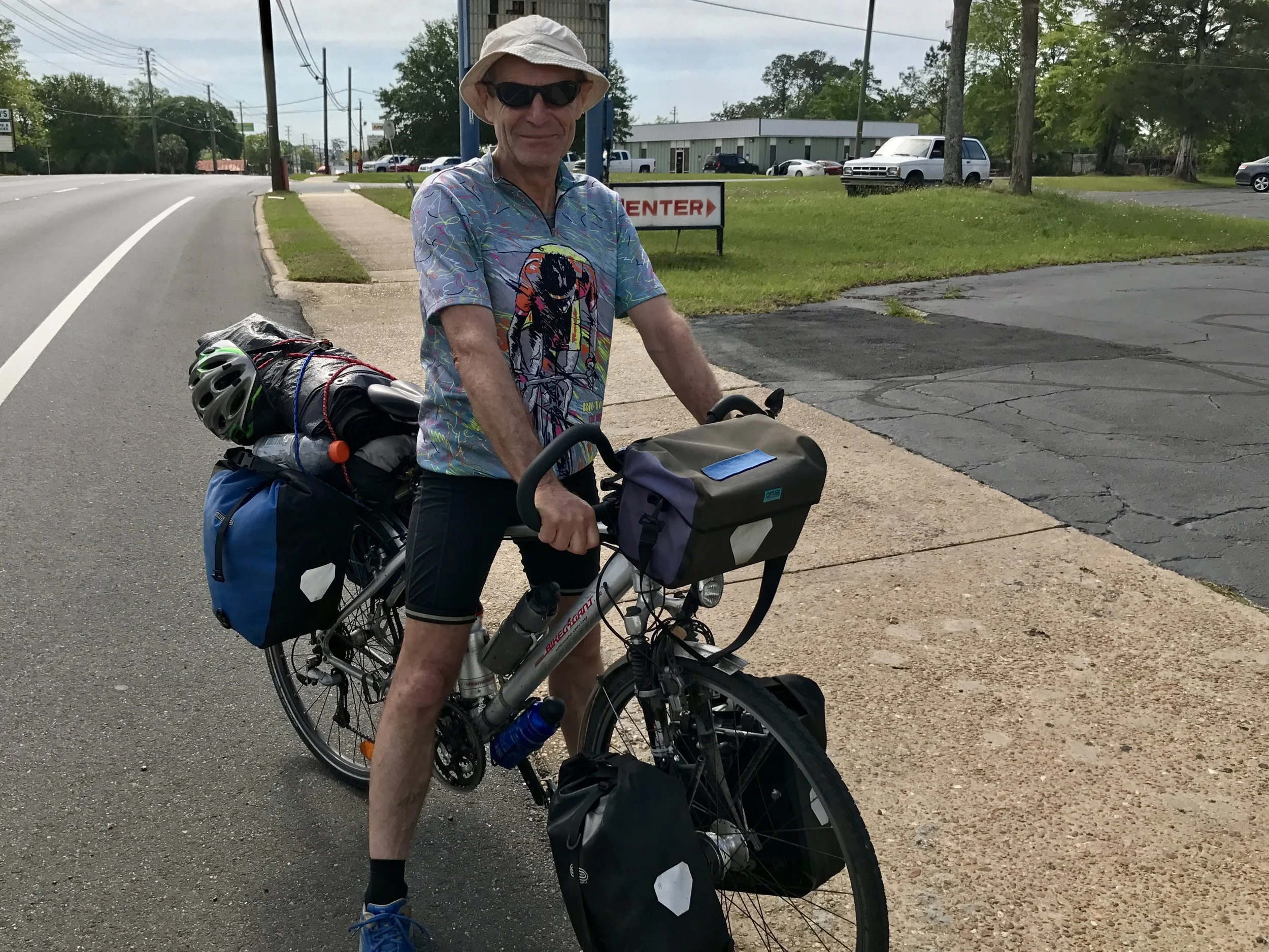
Pic 2, German cyclist going west. We stopped to talk but his English and my German made for a disjointed conversation. I could tell he was having fun, though.
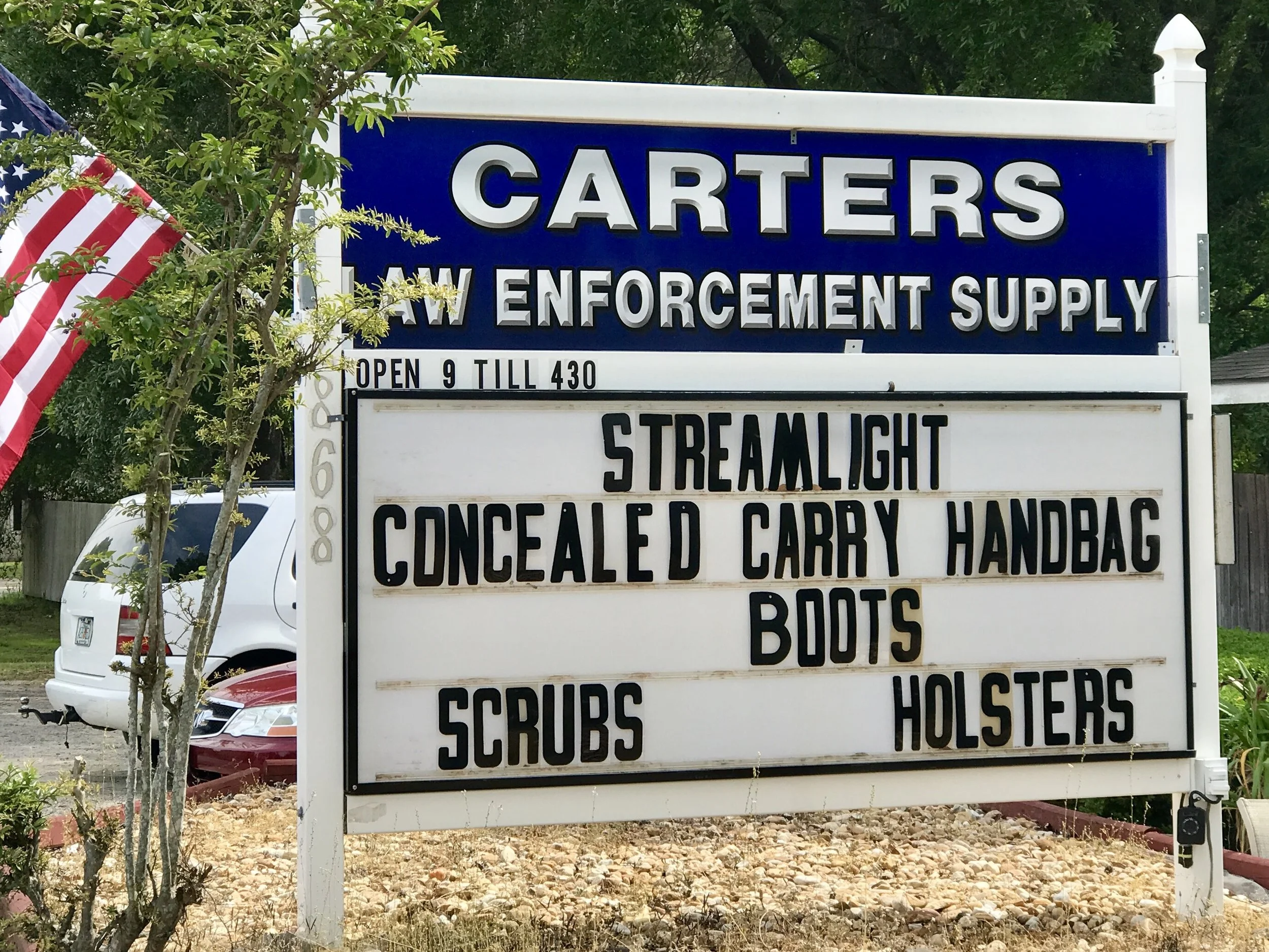
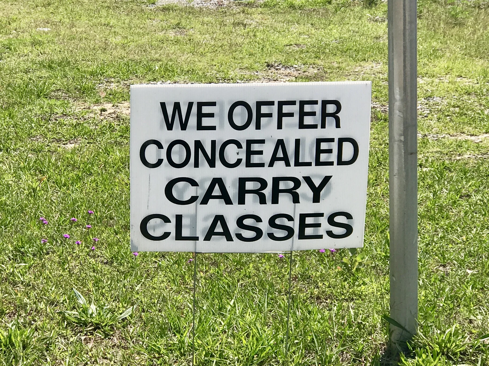
Pic 3, Come to this place to get a concealed carry purse.
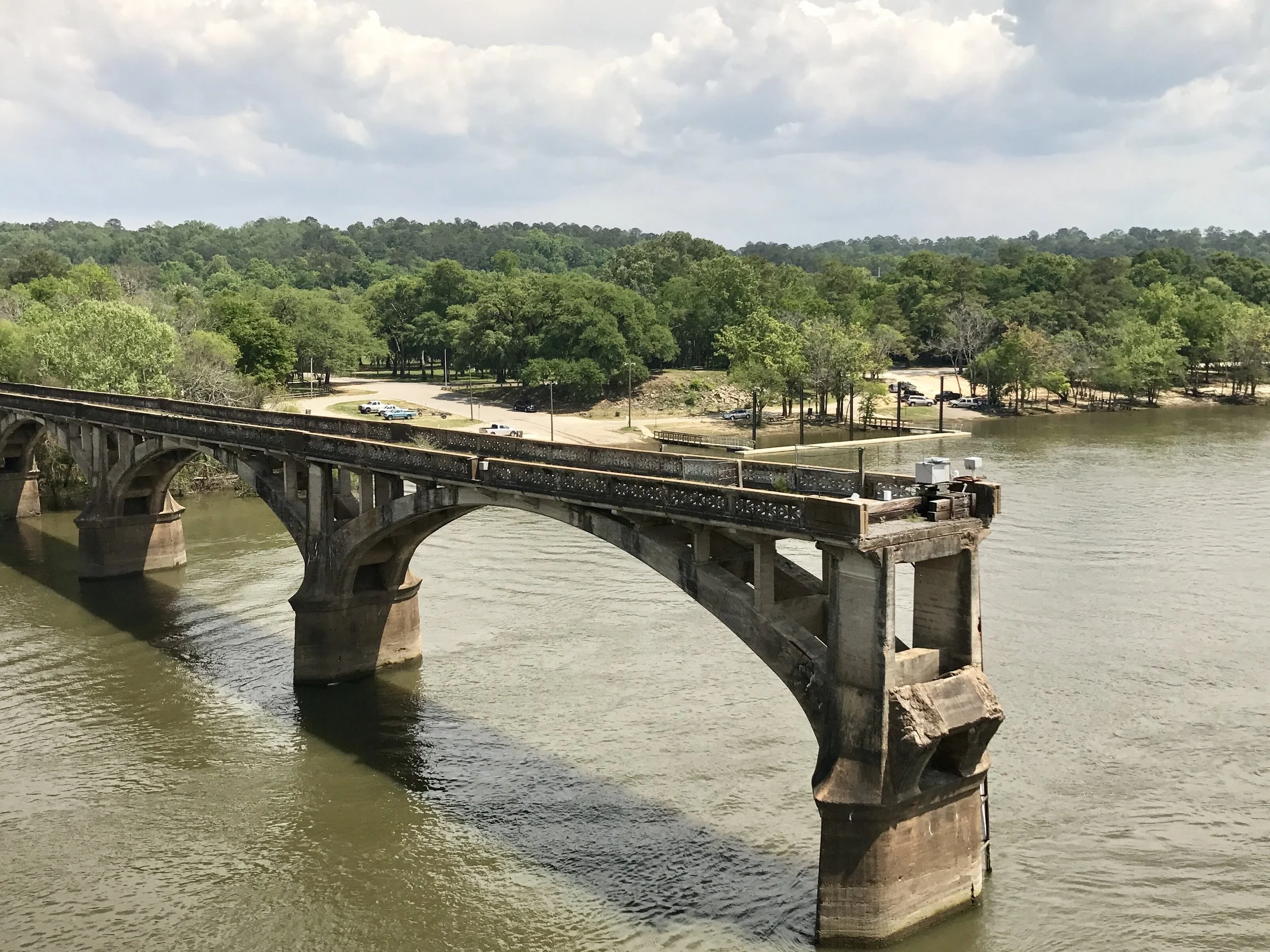
Pic 4, Old bridge on the Apalachicola River.
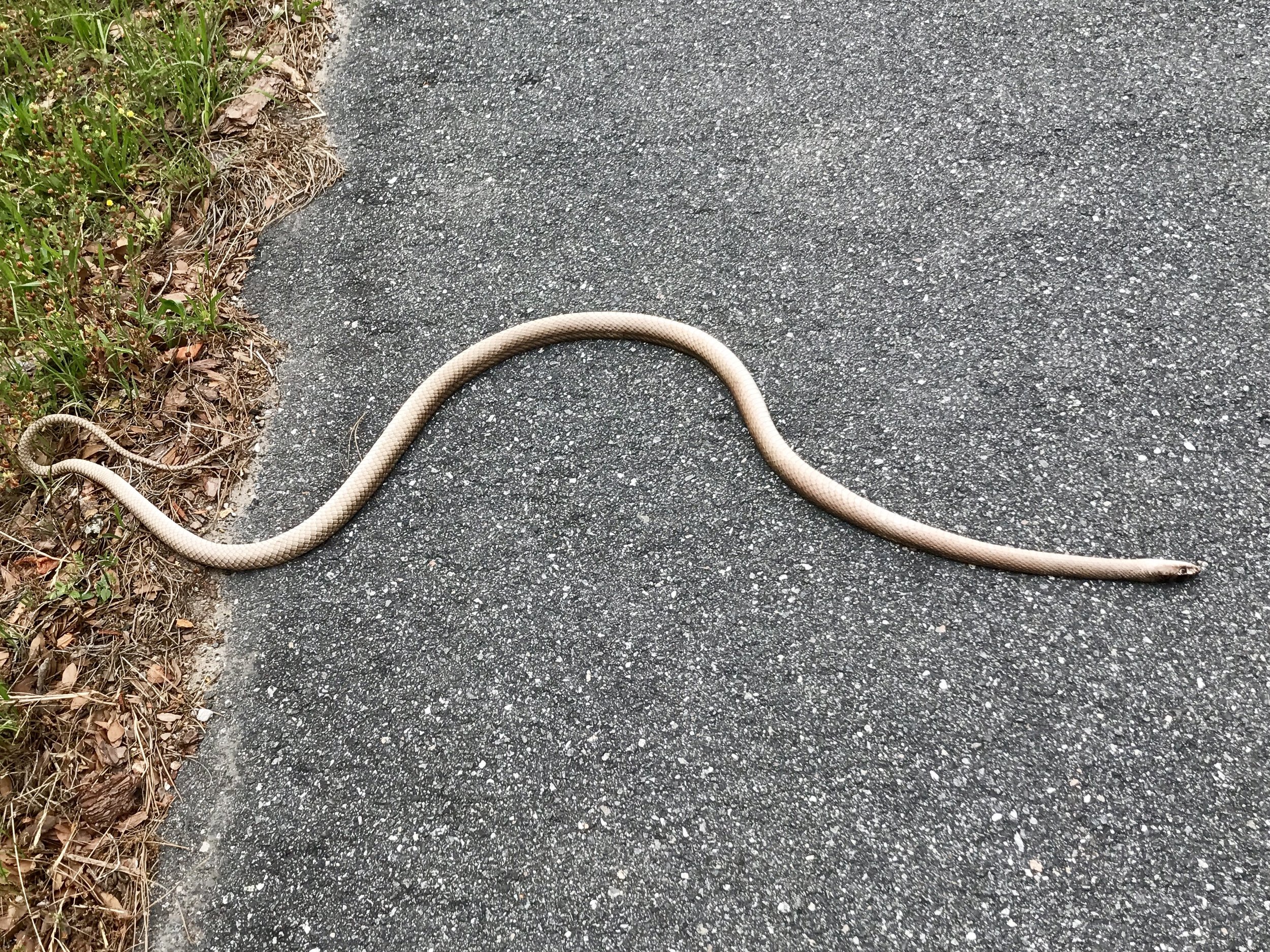
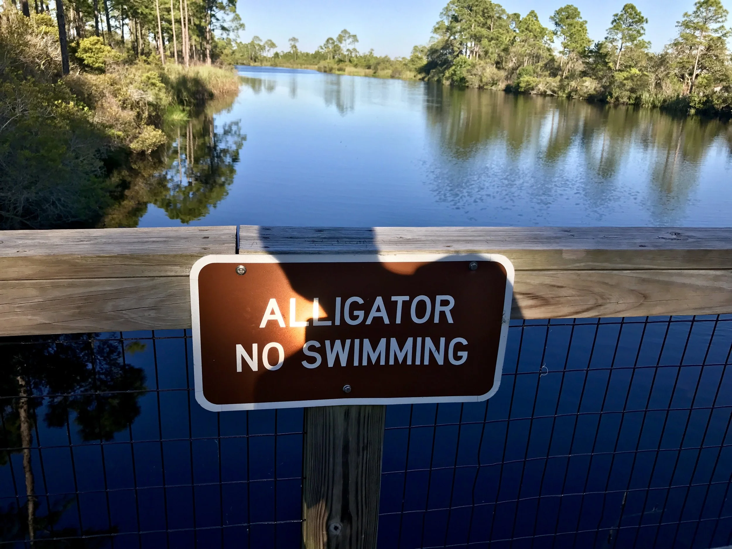
Pic 5, Three feet long - it wasn't alive (I don't think), but showed no injury.

Pic 6, I thought I should back up my comments from yesterday's post - took this pic in Round Top, TX.
More to come,
Michael
Southern Tier, Post 43
Day 48, post 43, The wackadoodle Confederacy: I first noticed Confederate flags in Texas, and have resigned myself to seeing them from time to time ever since. I am most irritated when I see them in front of restaurants or other business establishments - I typically find myself thinking, "why would any thinking person patronize a business that so overtly advertises hate, or superiority, or overt racism in a country as diverse as ours?" I know the answer of course, and that probably fuels my irritation most. It makes me angry that some Americans actually want to make other Americans uncomfortable, and that enough other Americans will passively go along, making such behavior possible. But even more irritating are the handful of times I have seen Trump/Pence signs flying alongside Confederate flags. But I want to make a disclaimer before I proceed - I realized only today that the Confederate flags make me so uncomfortable I have cycled right by and never taken a photo, and I've taken only one picture of a Trump/Pence flag alongside a Confederate flag (in Round Top, TX), and I've already posted it. So you have to take me at my word - although after this post I won't pass by any more without snapping a photo. In any case I find it nauseating that the current administration hasn't done more to discourage this association. But then, our President's key advisor (Bannon) once led the Breitbart news site, which the organization considers “the premier website of the Alt Right, a loose-knit group of white nationalists and unabashed anti-Semites and racists.” So, yes, our President has earned the association, and it is reprehensible. And that a significant number of Americans are ok with that deeply and profoundly disappoints me.
Southerners are polite, but I never forget as I travel through the rural south on a bicycle that I am white and male. It was my gender and race that did well in that fictional period of greatness that Trump wants to resurrect "again". When was that golden period, exactly - 1955, 1965, 1975? Can someone tell me when "again" refers to? But let's be honest- whenever it was, I am certain it was not a great time for women or people of color. I can bike through the south, and not be hassled. But can a person of color? Can a single woman? Not for a minute have I ever imagined that my pleasant and easygoing experiences on this trip aren't connected to my capacity to "pass" as a potential good old boy, if only at a distance. Whiteness, maleness - being those things in this environment, and not knowing the privilege they bestow - well, that's wackadoodle.
Check out my road cycling activity on Garmin Connect.
https://connect.garmin.com/modern/activity/1671803367
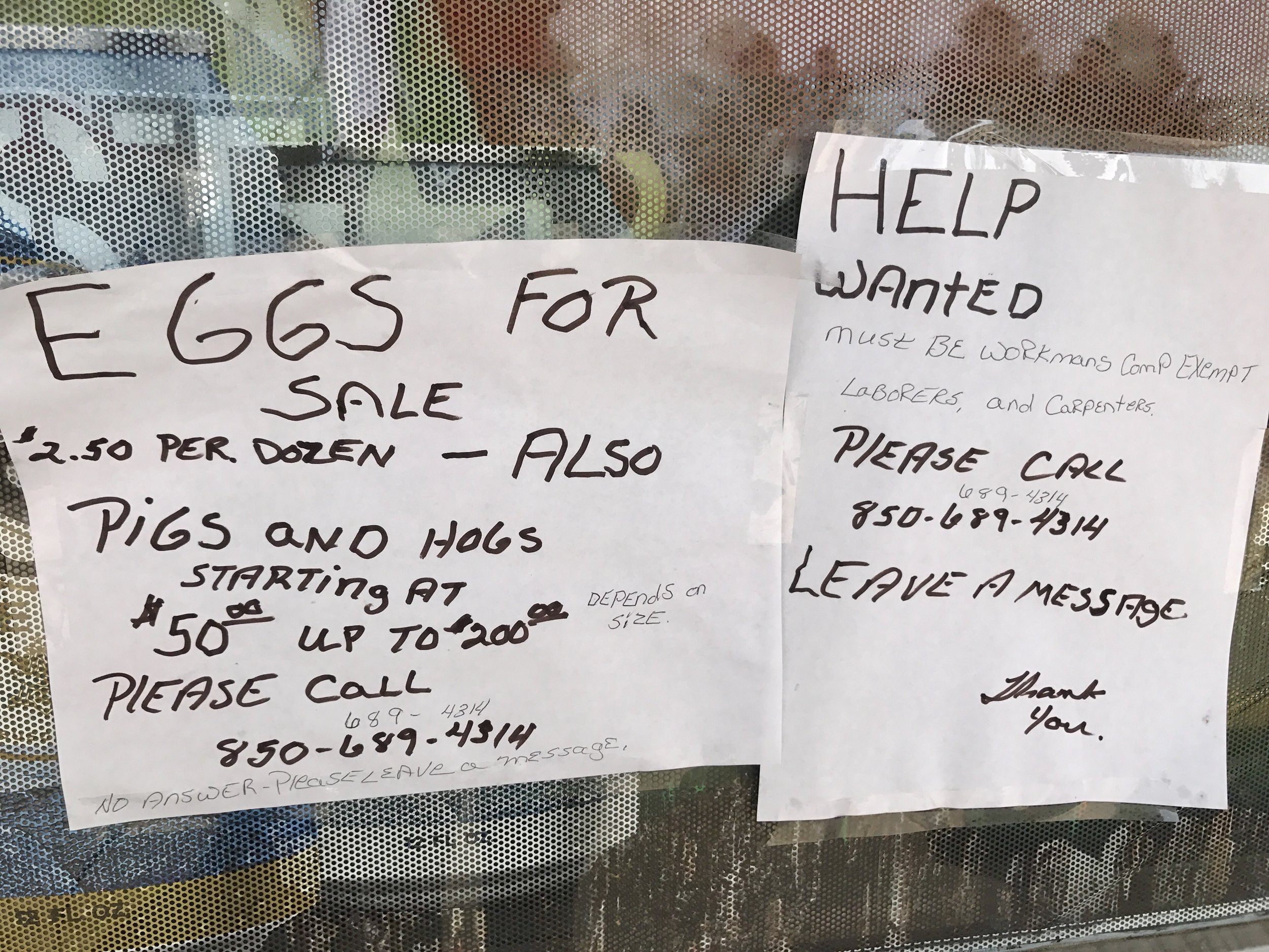
Pic 1, The small print on the right notice says applicants must be workman's comp exempt.
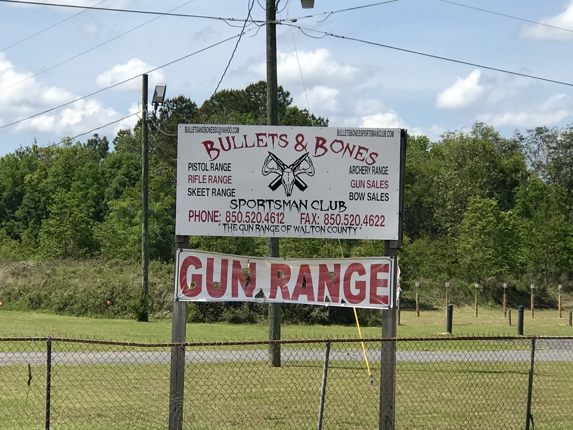
Pic 2, interesting name for a firing range - Bullets and Bones.
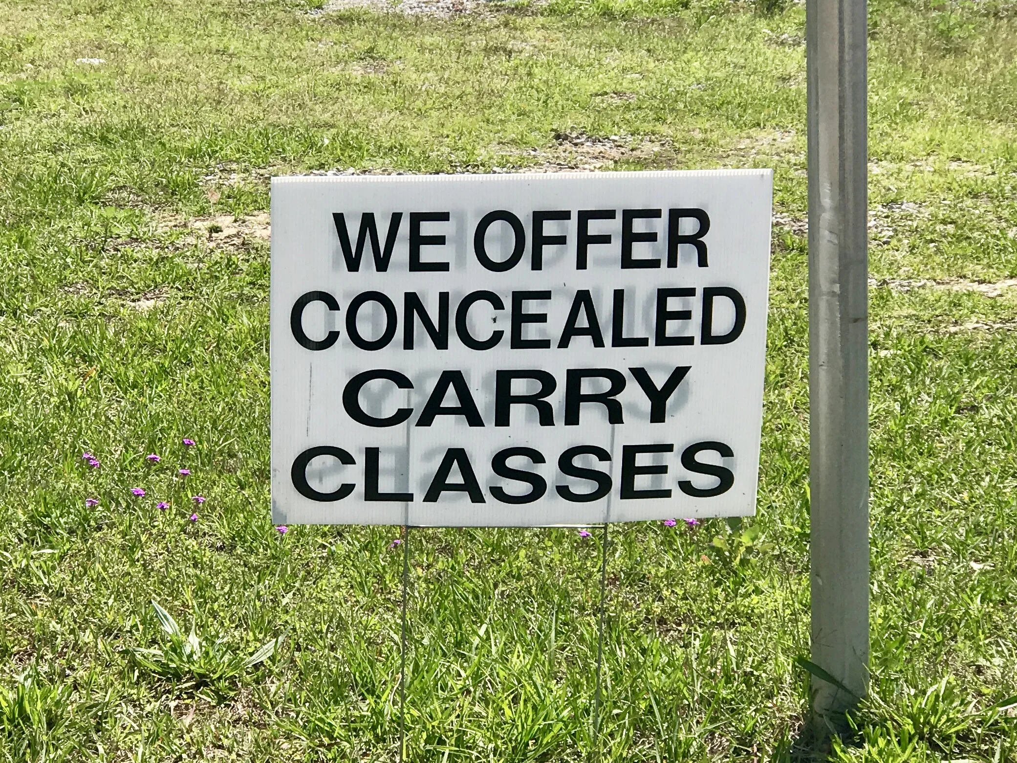
Pic 3, What you don't see is what you get.
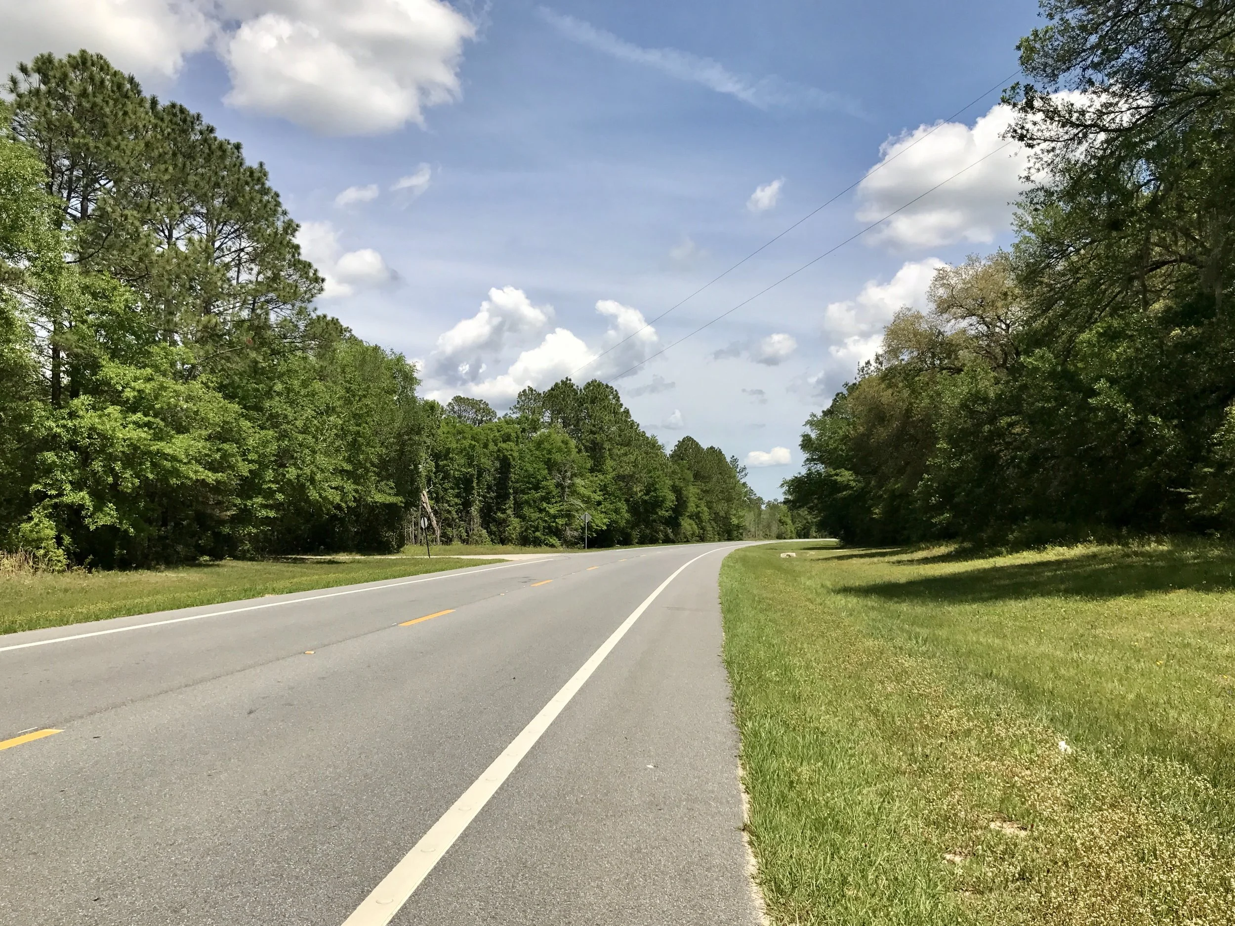
Pic 4, The road I traveled on. Good shoulder!
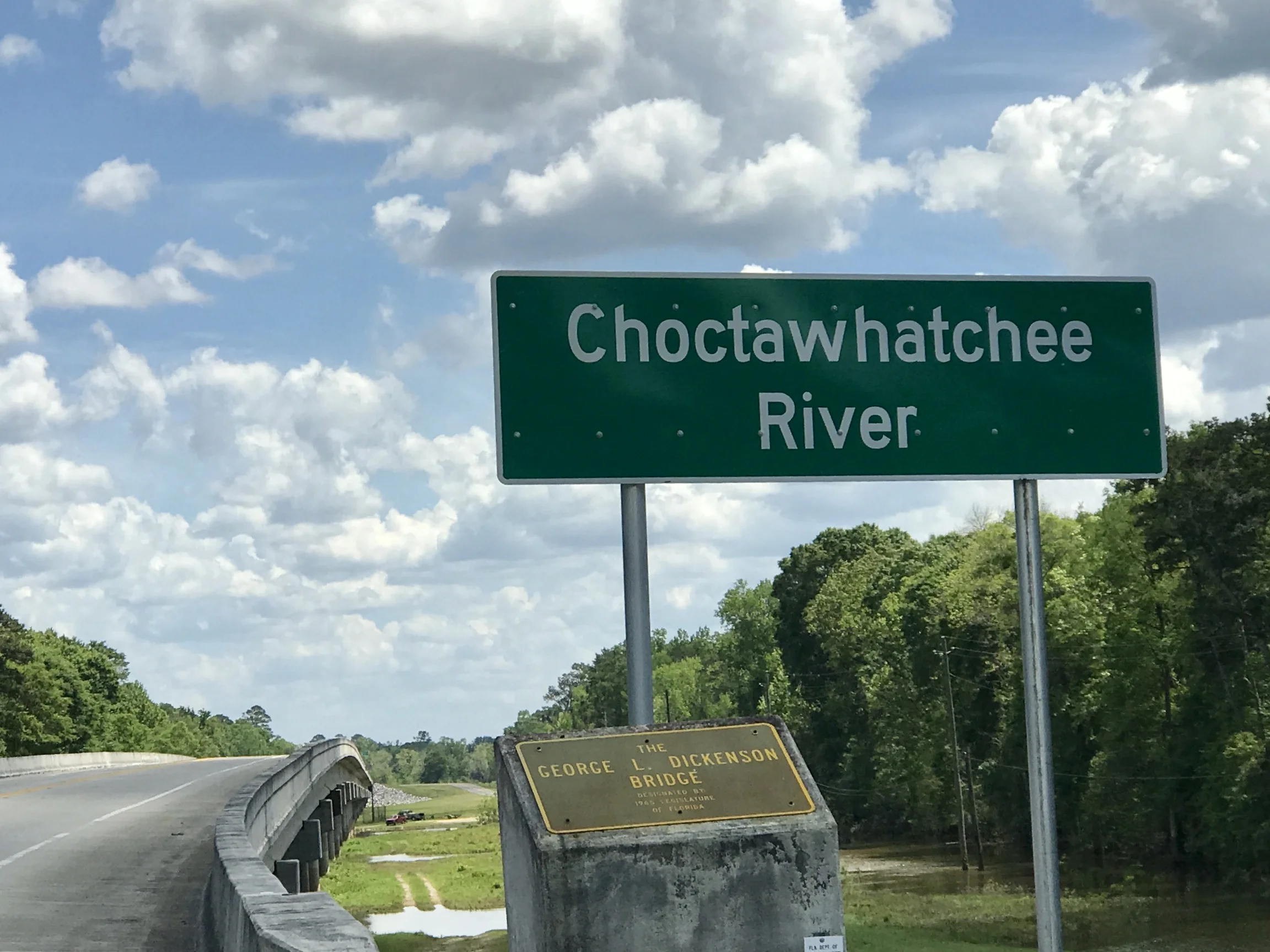
Pic 5, Whatchee say?
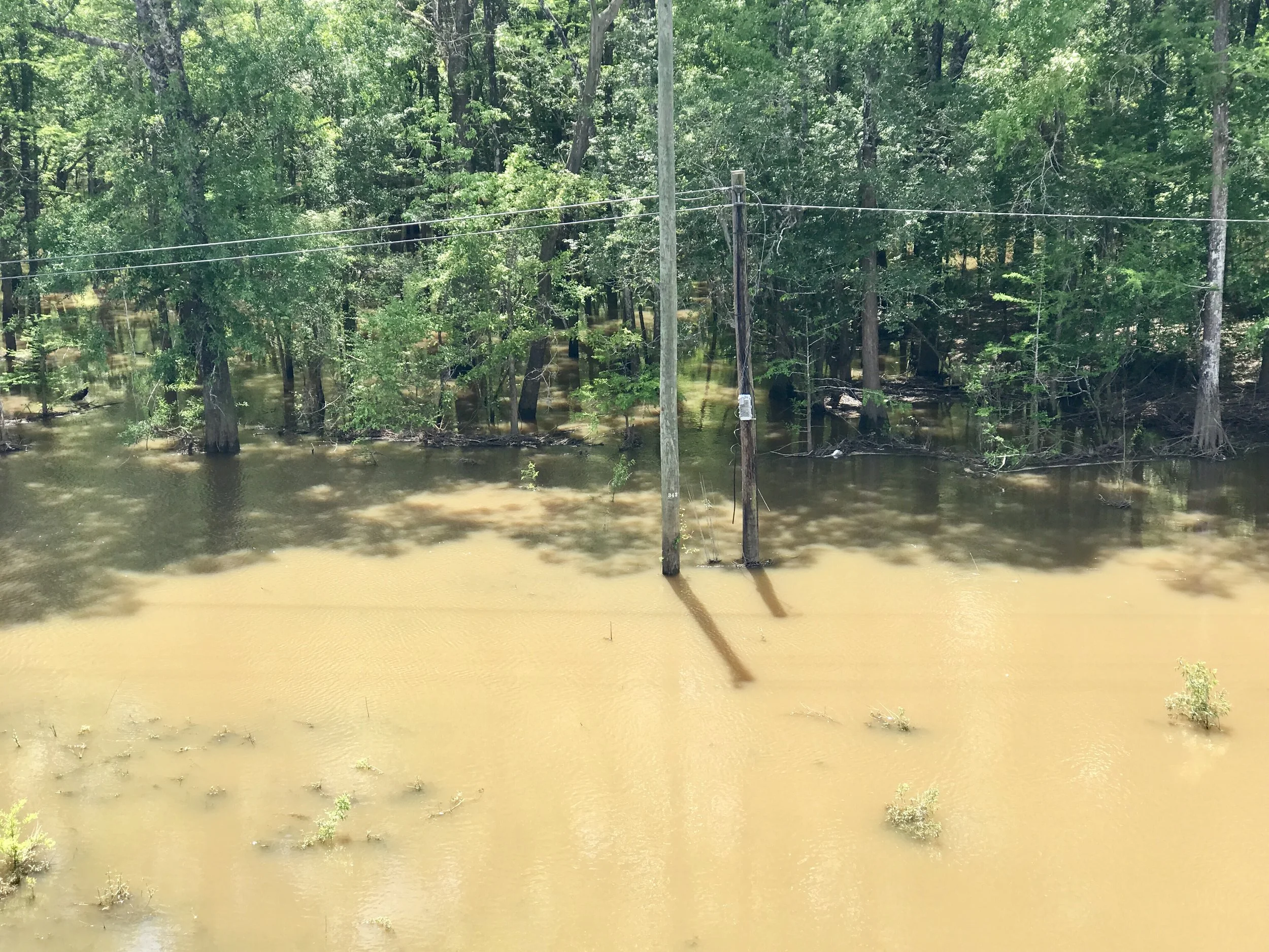
Pic 6, The banks of the Choctawhatchee.
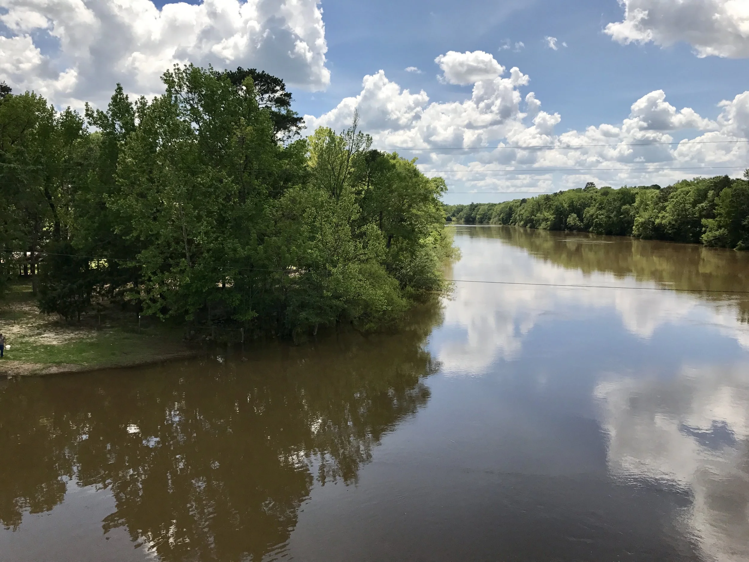
Pic 7, Another view of the Choctawhatchee.
More to come,
Michael
Southern Tier, Post 42
Day 47, post 42: I'm sitting in a catfish cafe in Crestview, FL. Good beer and grilled catfish fillets with slaw and okra should restore me after a 71 mile bike ride. I had to make a critical decision this morning once I got to Pensacola: did I return to the Adventure Cycling Association (ACA) route on Highway 90 and go northeast (and away from the coast), or did I take the bridge on Highway 98 toward the coast, where I would bike through more beaches toward Panama City? After a lot of thought, I took the inland route. My reasons were twofold: 1) lots of college students and families are celebrating spring break on the Florida coast, and I knew there would be crowds, and 2) the wind was out of the SE at about 20 mph today and forecast to continue from that direction for the next four to five days. Especially given the wind, going north will make for easier riding. At the end of the day I'm not sorry I made the choice. Things are definitely more relaxed inland, and the ACA route is pleasant and easy going, as it largely has been since San Diego. Inland west Florida is a mix of forests, bayous and horse country. The weather continues to be sublime, so it's beautiful - just as the coast would be. And the motels and campgrounds are much less crowded.
I have been thinking about how - in the US - coastal areas may differ from inland areas in political and cultural ways similar to how cities differ from rural areas. If I'm right, I wonder if that's because the coasts are largely populated by tourists from urban areas, or residents who have migrated from urban areas. It's notable to me that the restaurants, even on the Mississippi and Alabama coasts, preferred to broadcast CNN (as well as sports, of course). But as I went north, I found myself in places where Fox was the station on display. Given the rivalry between these stations and their distinct viewerships, is it now that easy to determine the political preferences in a given environment? Have we really become that culturally and politically separated? I suspect so, although I will also say that friendly politeness still rules the day in daily interactions in the south, even if people wear their political preferences on their sleeves.
I just did some research on my progress and I may hit Jacksonville/St Augustine in 7-10 days! After 47 days, it's amazing to contemplate ending this adventure....
Check out my road cycling activity on Garmin Connect.
https://connect.garmin.com/modern/activity/1670164878
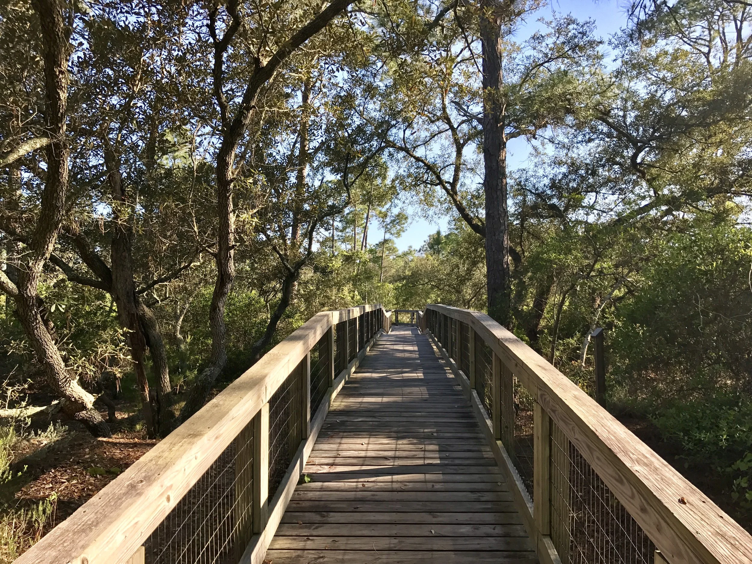
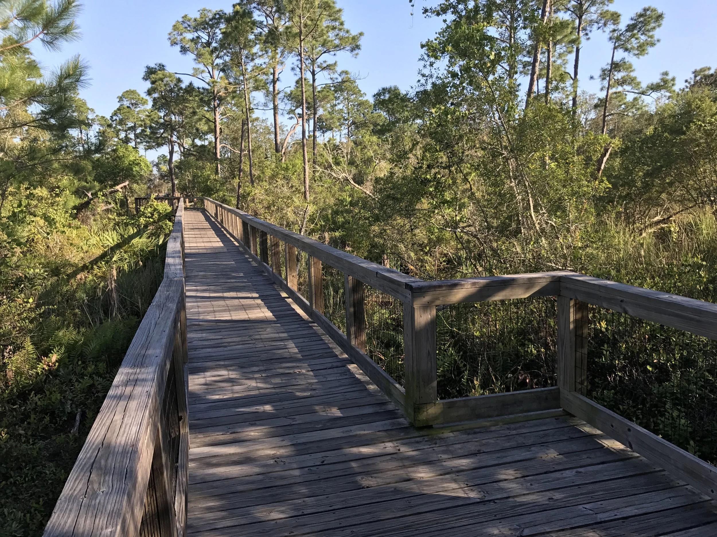
Pic 1, A boardwalk in Big Lagoon State Park where I camped last night.
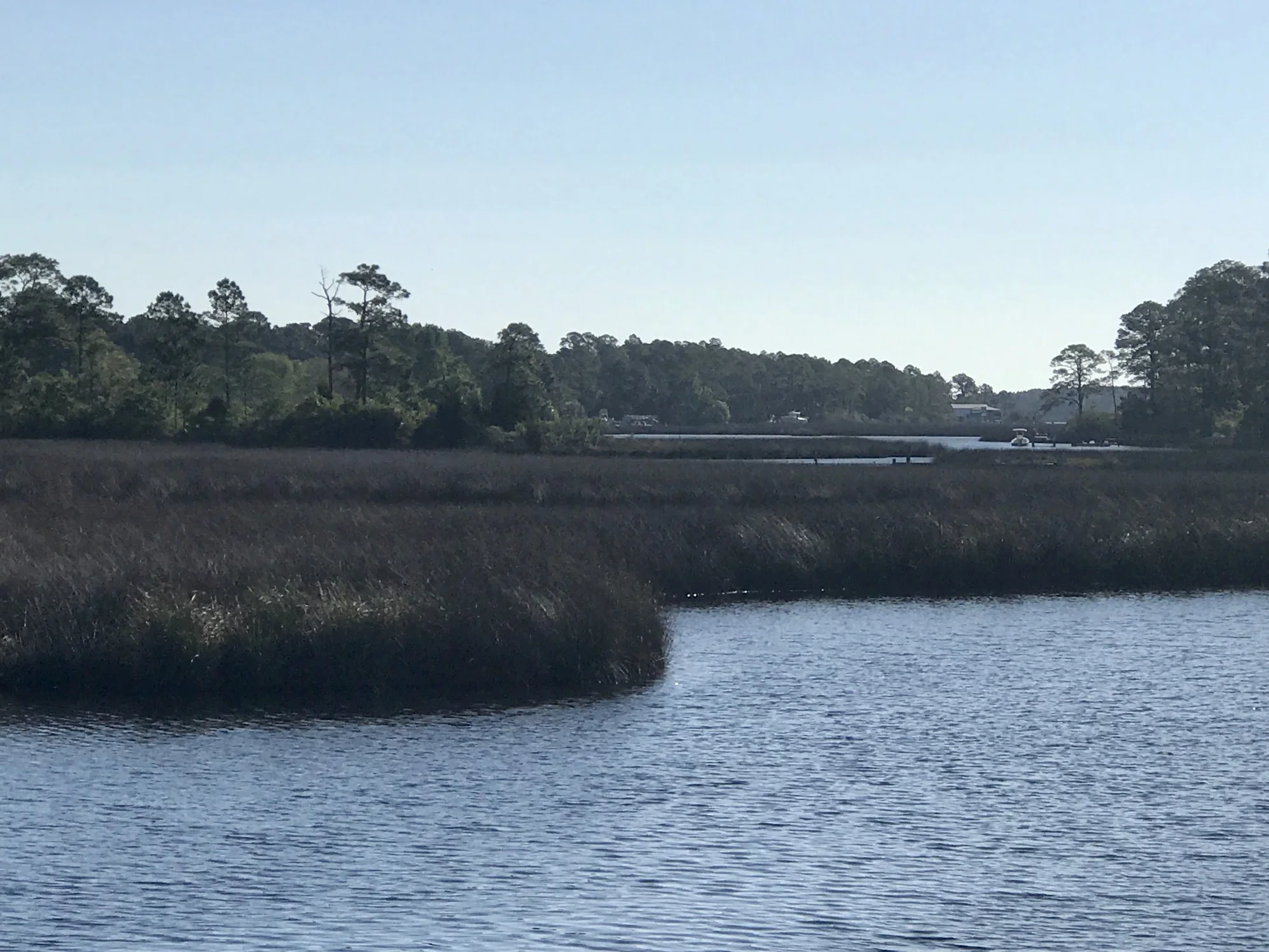
Pic 2, One of so many waterways near the western Florida coast.
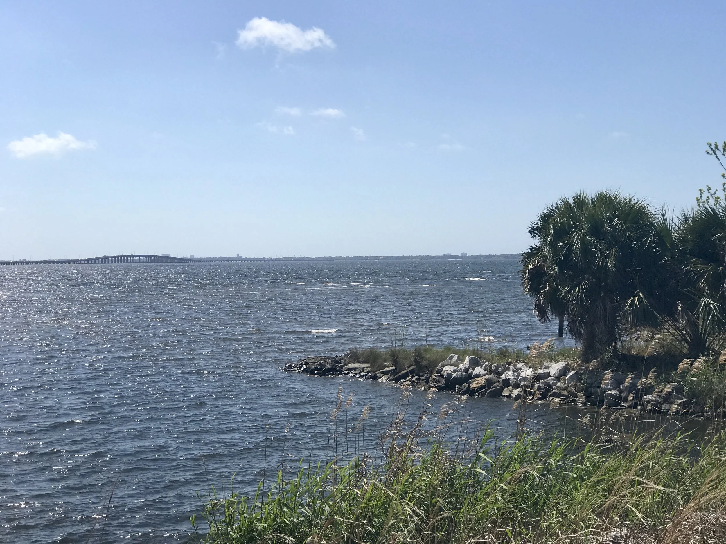
Pic 3, Pensacola's Escambia Bay. The water was choppy today because of the wind.
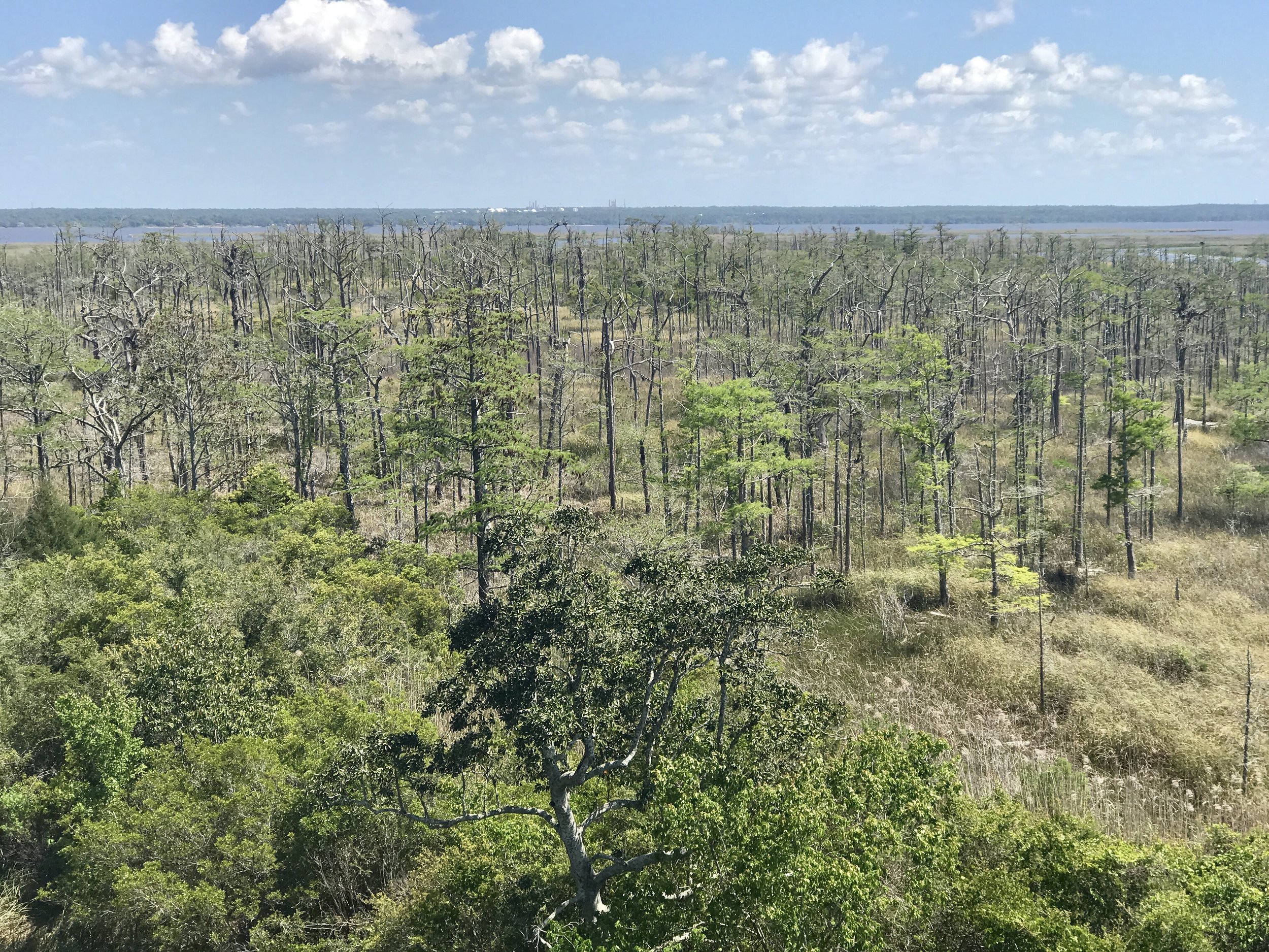
Pic 4, While crossing the Escambia River north of Pensacola, I noticed a lot of dead trees in the swamp. Don't know what that's about.
More to come,
Michael
Southern Tier, Post 41
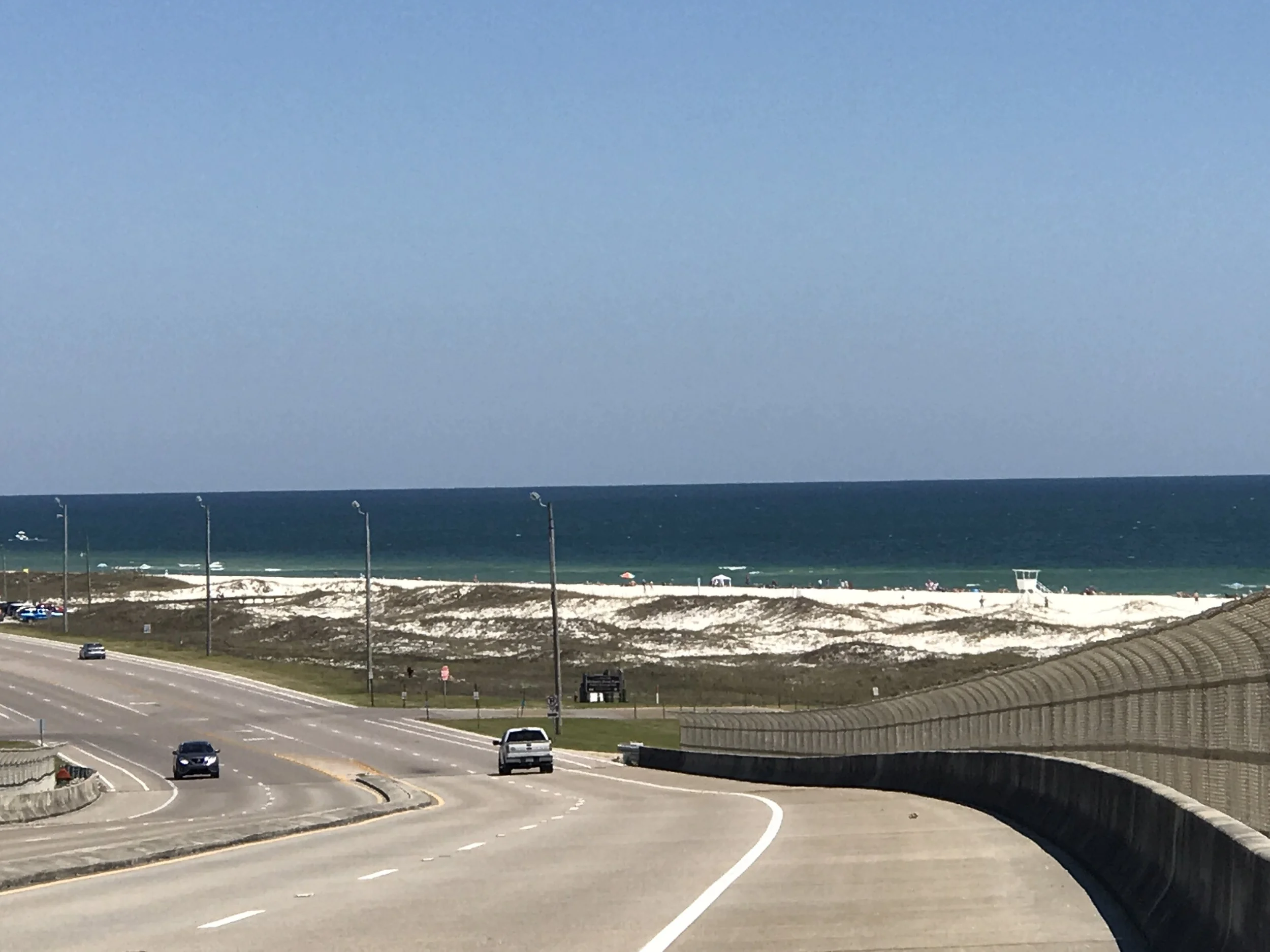
Day 46, post 41. I'm now in Florida, about 10 miles southwest of Pensacola. I woke early in Bayou La Batre so that I could catch a 9:30 ferry at the east end of Dauphine Island, about 20 miles away. The ride there was gorgeous - salt marshes, great views of the Gulf, and the very large Mobile Bay. If there was a downside on this flawless day, it was the contrasting starkness of the many oil platforms in the bay and in the Gulf waters. On the ferry ride from Dauphine Island I talked to an older guy who grew up in Mobile, and he said most of the derricks weren't there as recently as 10 years ago. I wonder if we are really comprehending the exponential rise in energy use and development that has been so ubiquitous over the past few decades. This would of course go along with the explosion in roads, shopping malls, and suburban sprawl that has changed our country so much in recent history. And to compliment that thought, I should mention the sheer oddity of in witnessing the massive hotels and condominiums that now line the eastern Alabama Coast east of Fort Morgan. "Quaint or funky" would no longer apply. "Massive and out of place" might. At the Florida campground (Big Lagoon State Park) south of Pensacola, where I am spending the night, a food truck vendor told me those massive buildings won't last - apparently the locals expect the next hurricane to take them out, given that they have been built right on the beach with no pylons. I have heard some references to Mississippi's coastline being low key because Katrina destroyed so much of it, particularly Waveland and Bay St Louis (my apologies for naming that Isle St Louis in my last post). Apparently Gulfport and Biloxi weren't spared either. Interesting story about Dauphine Island - it was the capital of the Louisiana Territory in 1715, and the governor was named Cadillac... during Katrina, the island split in two and part of it shifted west. Homes there were lost, and the gap was later filled in with large boulders, which formed a great fishing area. You can boat out to the second patch of island to fish and camp. But it is now an isolated patch of land. The food truck vendor also told me the locals think this is going to be a rough hurricane season - because of El Niño the Gulf waters are warmer than average, plus plenty of folks here seem to know we are breaking records for continuous heat around the globe, and that will contribute as well. So maybe I'm seeing some things that won't be here long.... time will tell.
Check out my road cycling activity on Garmin Connect.
https://connect.garmin.com/modern/activity/1668380654
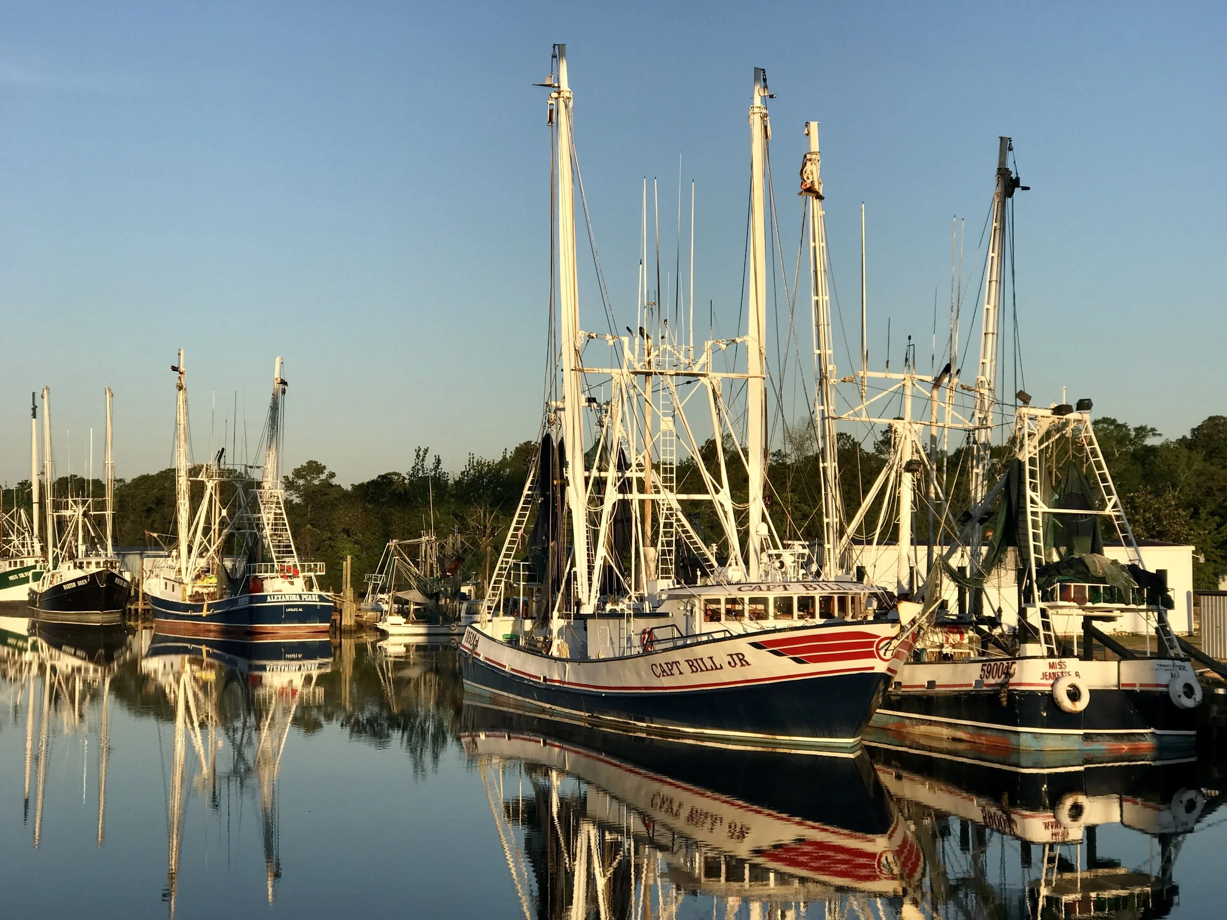
Pic 1, Boats in early morning sun near Bayou Le Batre.
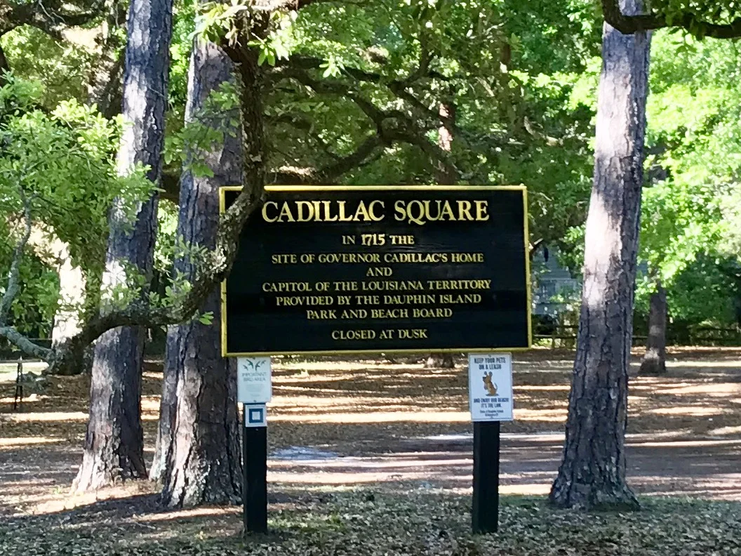
Pic 2, Historical sign on Dauphine Island.
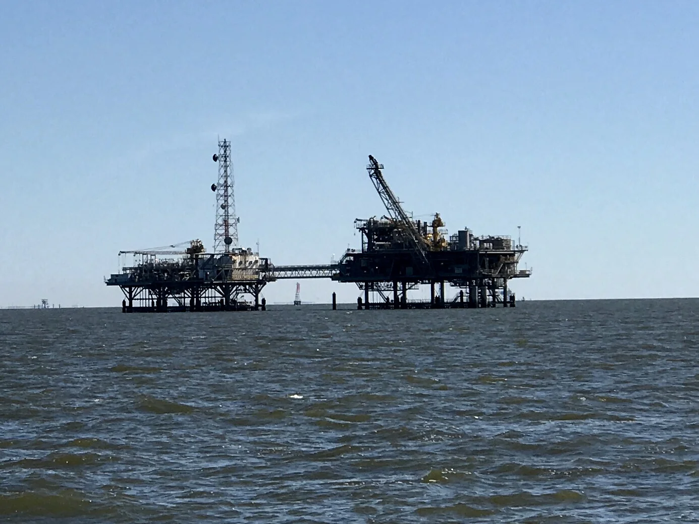
Pic 3, One of many oil derricks in Mobile Bay.
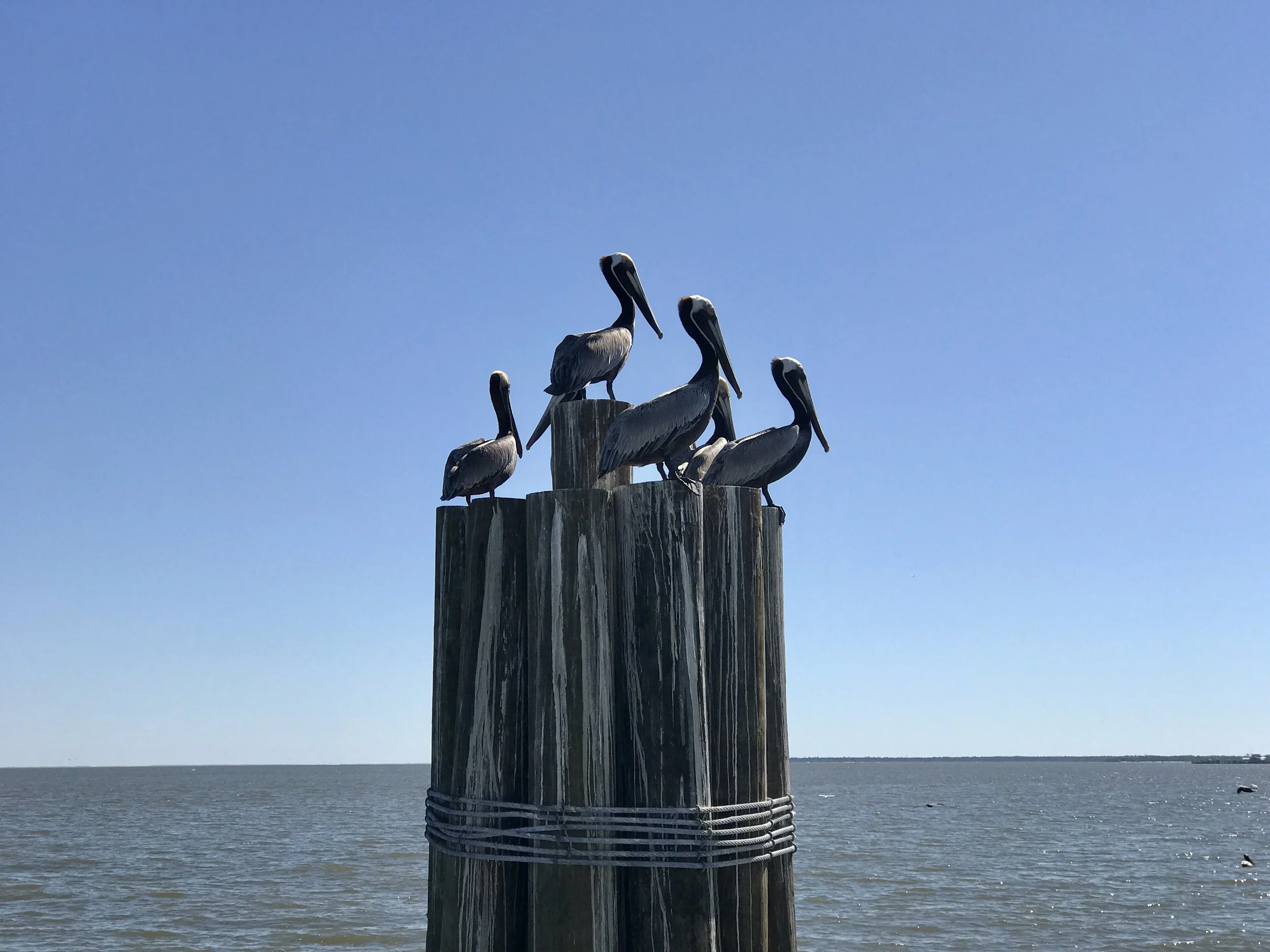
Pic 4, Pelicans rule.
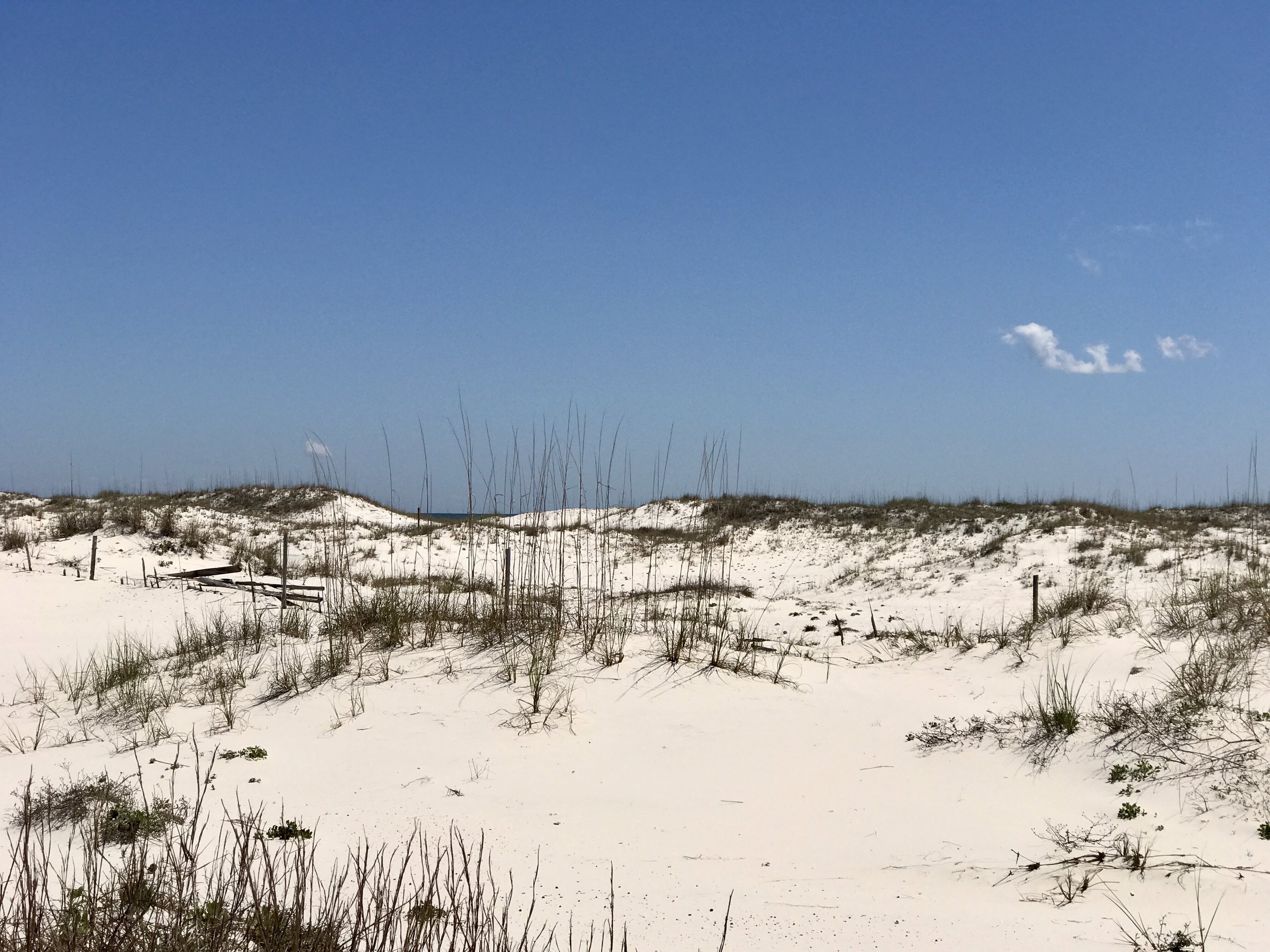
Pic 5, The gorgeous sand in eastern Alabama.
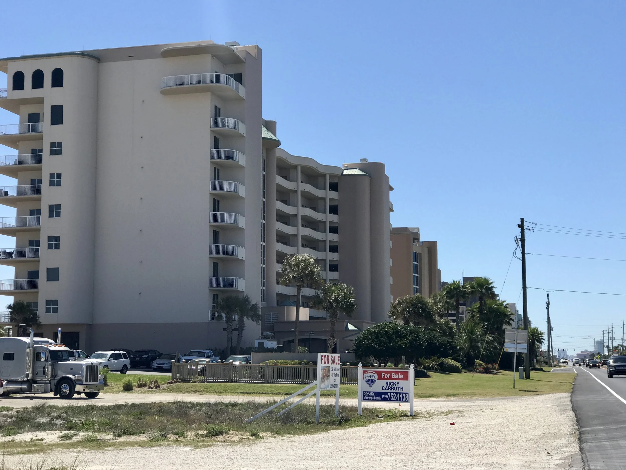
Pic 6, One of many crazy buildings on the beach in eastern Alabama.
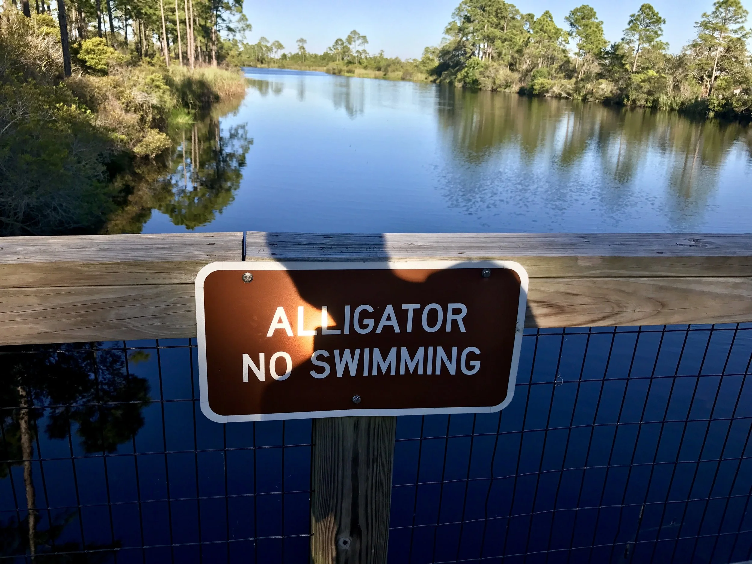
Pic 7, At the Florida state park where I am camping.
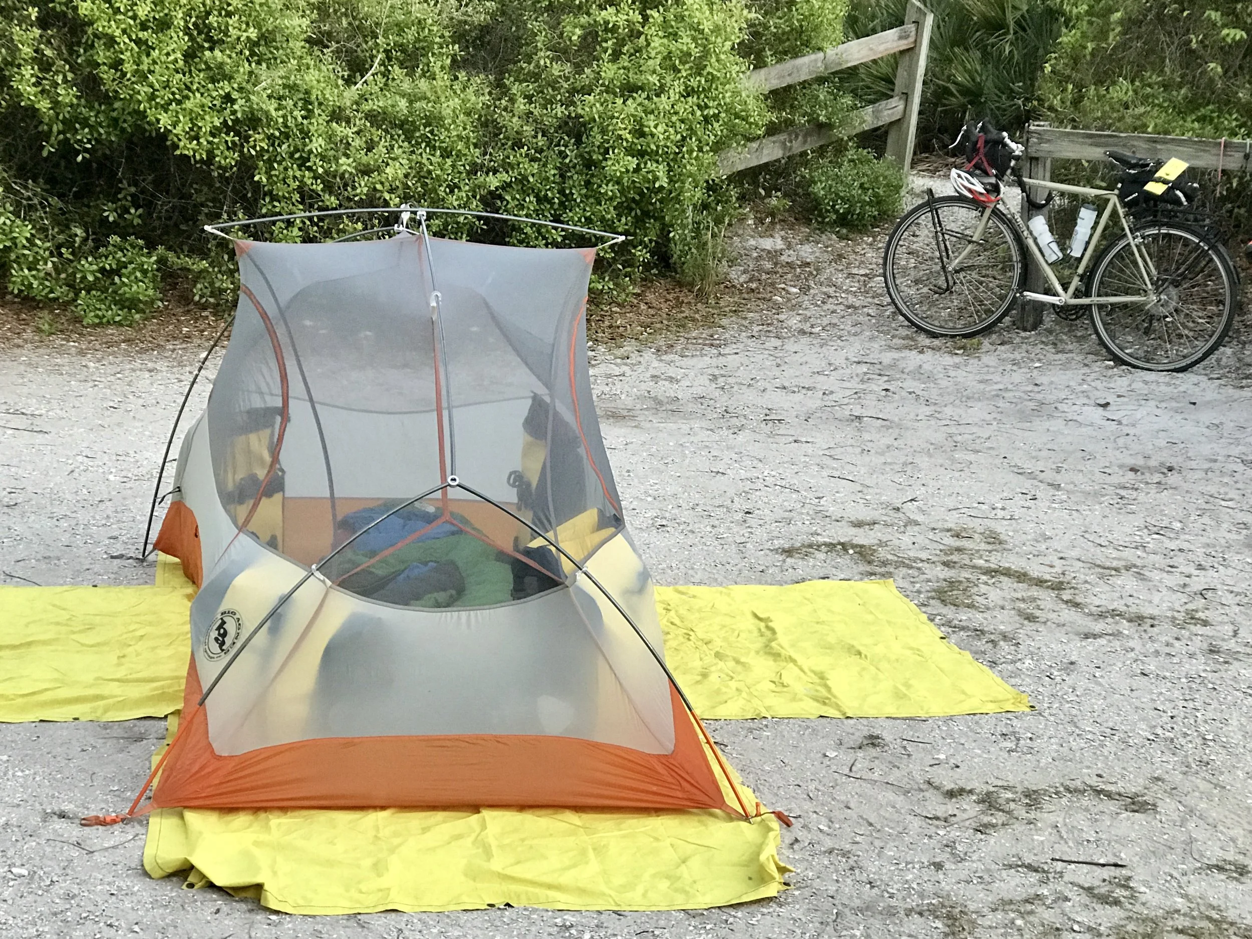
Pic 8, Think I'll sleep ok?
More to come,
Michael
Southern Tier, Post 40
Day 45, post 40: I'm in Bayou La Batre, Alabama, about 60 miles west of Pensacola. It's curious to me that Louisiana and Florida won out on coast line, but a quick review of the history of the Florida and Louisiana territories suggests that both Mississippi and Alabama were originally created without coastal access, and were granted coastlines controlled by their adjacent territory as a way of insuring each state would have ocean going ports. Or at least that is my impression. Happy to be corrected...
In any case, I cycled through Mississippi in two days, and I expect to do the same in Alabama. I'm told that the coast I'm about to explore - Dauphine Island and the Alabama coastline to the east of it - is both extremely beautiful and heavily developed. If so, this will be a change from the lovely, understated and almost funky coastlines of Waveland, Bay St Louis, Gulfport and Biloxi.
The weather has been sublime the past few days. Apparently this is a very desirable and highly enjoyed time of year. That certainly accounts for the fact that it is spring break weekend in Mississippi and spring break week in Alabama and Kentucky. My weekend timing has cost me some stress in finding camping or motels. Even so, people have been consistently friendly and helpful. In fact, the manager of a Motel 6 in Gulfport, where I spent last evening, gave me a lot of information about cycling in Florida, and even a few connections... So, the surprises only make things interesting (and stretch my budget a bit). After all, part of the fun of a long cycling trip is figuring out how to deal with the unexpected...
I can easily imagine the oppressive heat that is likely to come later in the summer... the pace of life is slow now - it must become a crawl when the heat hits...
Check out my road cycling activity on Garmin Connect.
https://connect.garmin.com/modern/activity/1666027762
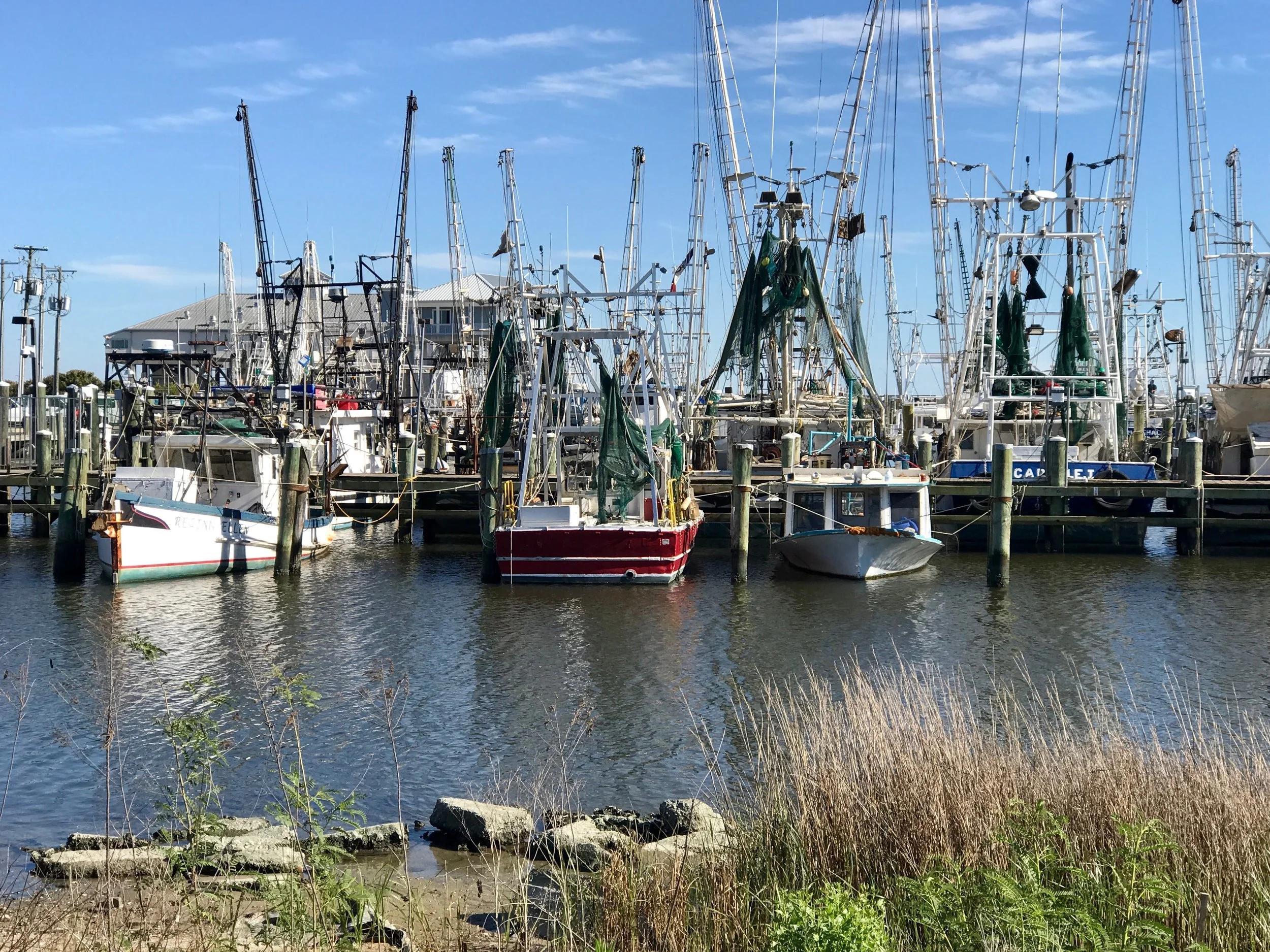
Pic 1, Fishing boats at Gulfport.
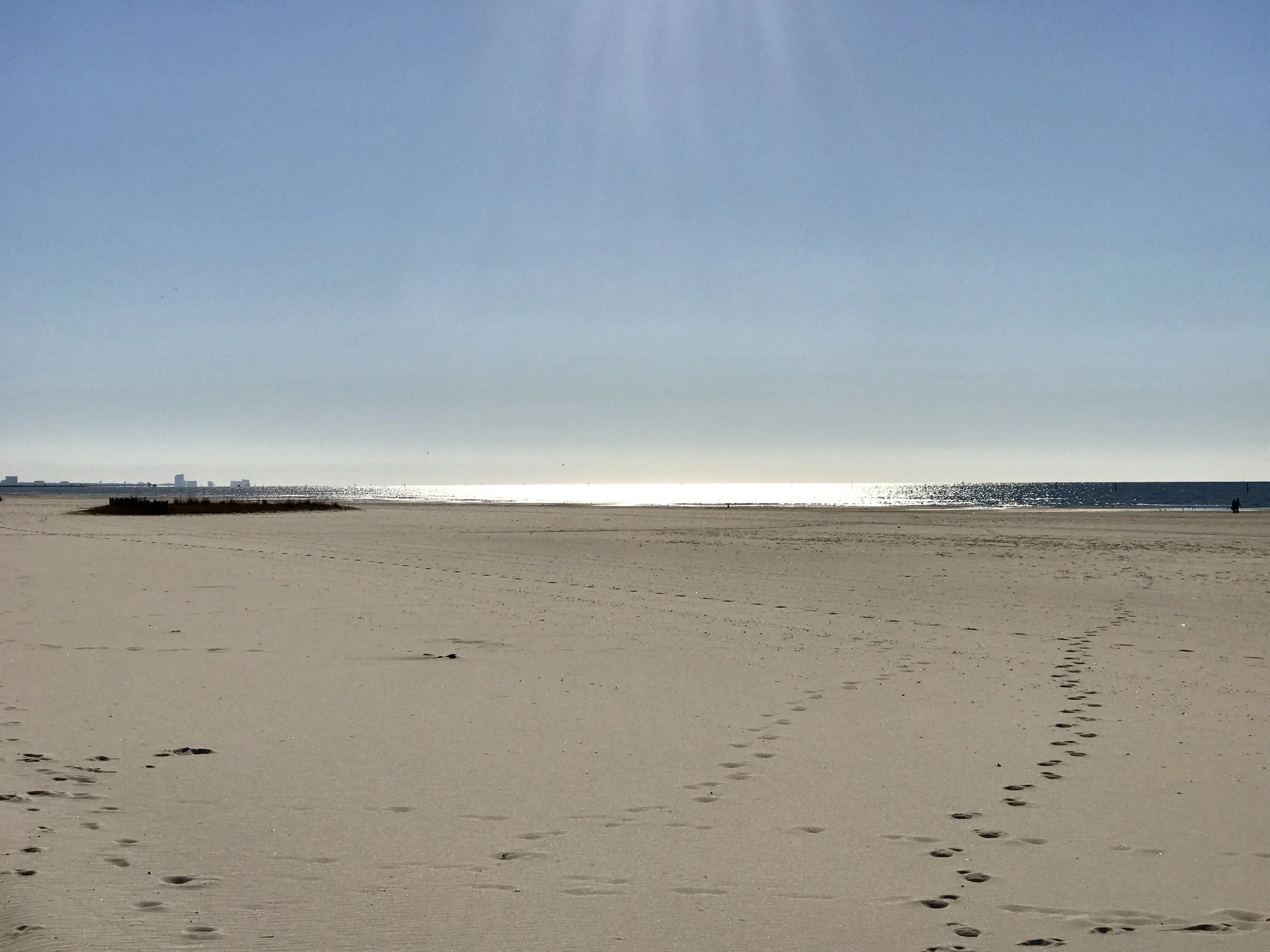
Pic 2, Early morning sun on the Gulf waters.
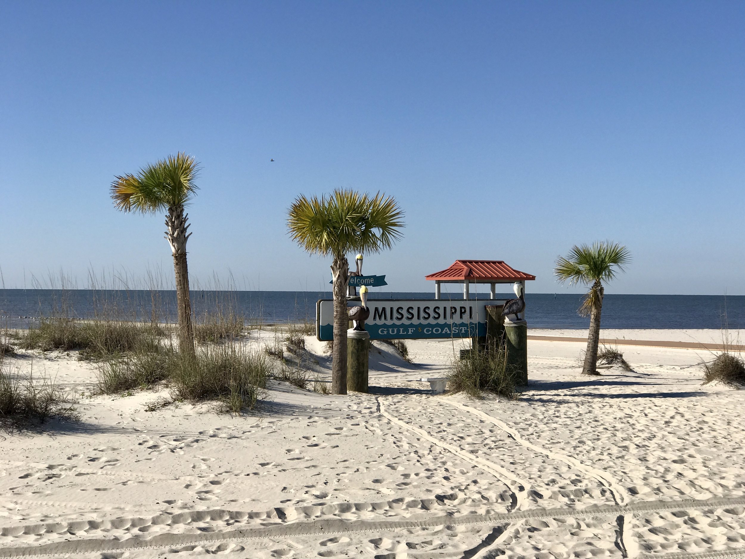
Pic 3, A little oasis on the beach?
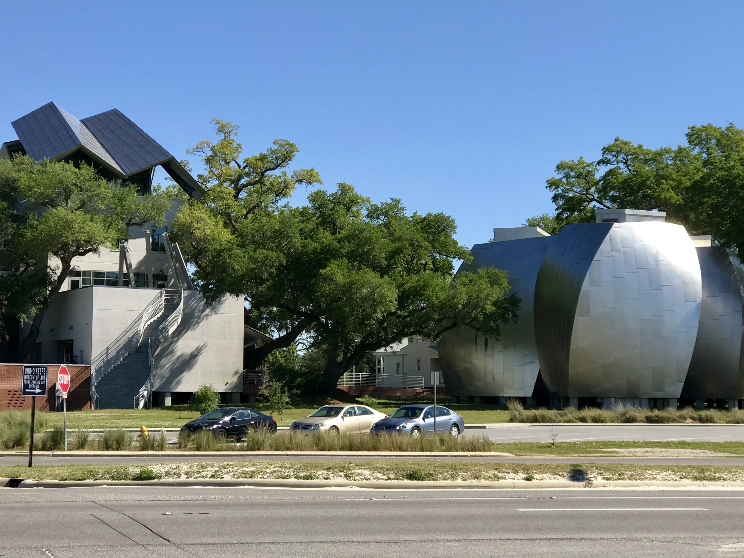
Pic 4, The O'Keefe museum near Biloxi.
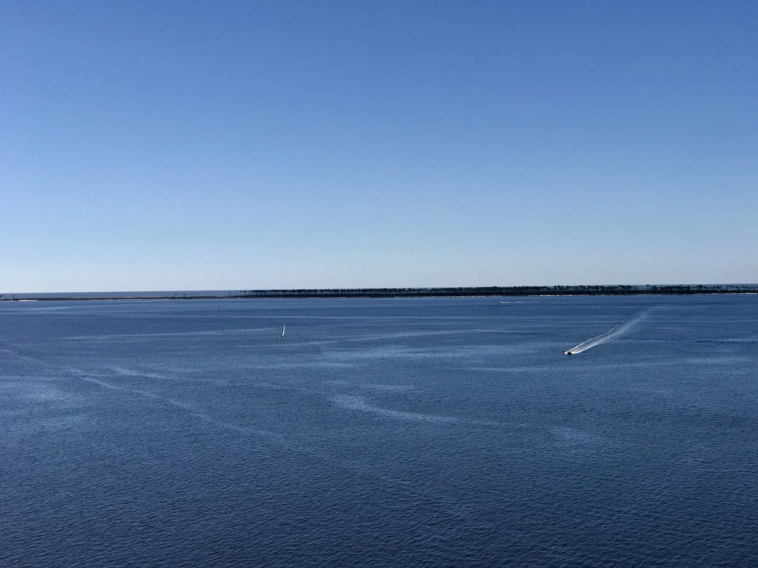
Pic 5, On the bridge to Ocean Beach, Mississippi.
More to come,
Michael
Southern Tier, Post 39
Day 44, Post 39, What a great time I had in New Orleans! I took a lazy 35 mile ride in, all on the river levee on its northernmost shoreline (definitely in cancer alley) until I got to the west side of the city, where I got on St Charles Ave near Tulane, and followed the avenue all the way to the east side of the u shape that defines the older portion and downtown area of the city. A Louisiana native had explained to me that all the streets named after Saints all begin at the river (which isn't hard to do, given that the river is on the west, south and eastern sides of most of the city) so that when the judgement day comes, the Saints will be able to come marching in...
The weather was perfect and the city was very alive! I checked into the small boutique downtown hotel that I had found a few weeks before and cleaned up while I waited for Carolyn's arrival. Her flight was without mishap and she arrived as scheduled. After a rest we walked five blocks or so to the French Quarter. The next day we ventured further and on our final day we took some streetcars around the city as if it was ours... and we ate incredible food, each day topping the one before as we learned where to go....
Some of the city was as I remembered from several other trips over the years, but I felt especially rooted this time because there's nothing like biking into a city to help one understand where one really is... Three days later (today) I had a similar experience biking out of the city. Right now I am in Gulfport, Mississippi, about 70 miles east of New Orleans. Yesterday, when I picked up my bike at the shop (where my entire drive chain was rebuilt), I asked the mechanic about getting out of the city. He gave me invaluable advice, and I was able to avoid some difficult situations this morning. And I was surprised to learn that the road I chose to go east (the only way out of New Orleans to the east except for the freeway, interstate 10) was not only mellow with traffic, but incredibly beautiful and fascinating in places. And once I got to Waveville, Mississippi, I was on the Gulf. It's not built up in the way one would expect, and in my mind I found myself imagining this is what the Florida coast might have looked like in the 1950's.
Among the many delightful things that happened in New Orleans is that Carolyn and I reached out to Julia Kumari Drapkin, the founding producer of www.iseechange.org, which is headquartered in NO. I cannot stress enough how exciting I think her project is. Iseechange works with a number of partners, most notably NASA and NOA, and it allows anyone (including you) to report anything of interest that you notice about the natural world. Over time, iseechange will use "big data" as a way to identify environmental trends through community based observations and "citizen science". There are many great things about this project and it's functional smartphone app - anyone can record anything they notice they think is curious, whether one knows if it is substantial or not - like a change in atmosphere, odd smells, pollution, seasonal changes in plant life or weather patterns, allergic reactions, etc. Talking to Julia over the phone (we were not able to meet in person this trip, but that will happen at some point), re-inspired me to become a strong participant in this project, and to encourage others to join in. After all, what can be more helpful than to become astute observers at a time when our way of life actively encourages us to notice less and less about the environments in which we live and work.? The app is easy to download and easy to use, and the webpage a delight. I hope you will take a look!
There's so much more to say, but I want to be up early. I should be able to get to Alabama tomorrow and maybe even Pensacola.... but I need an early start...
Check out my road cycling activity on Garmin Connect.
https://connect.garmin.com/modern/activity/1664125188
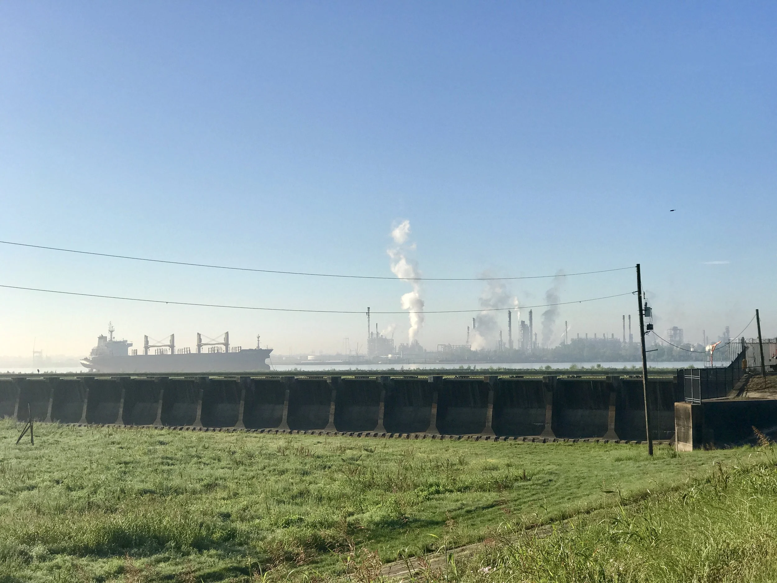
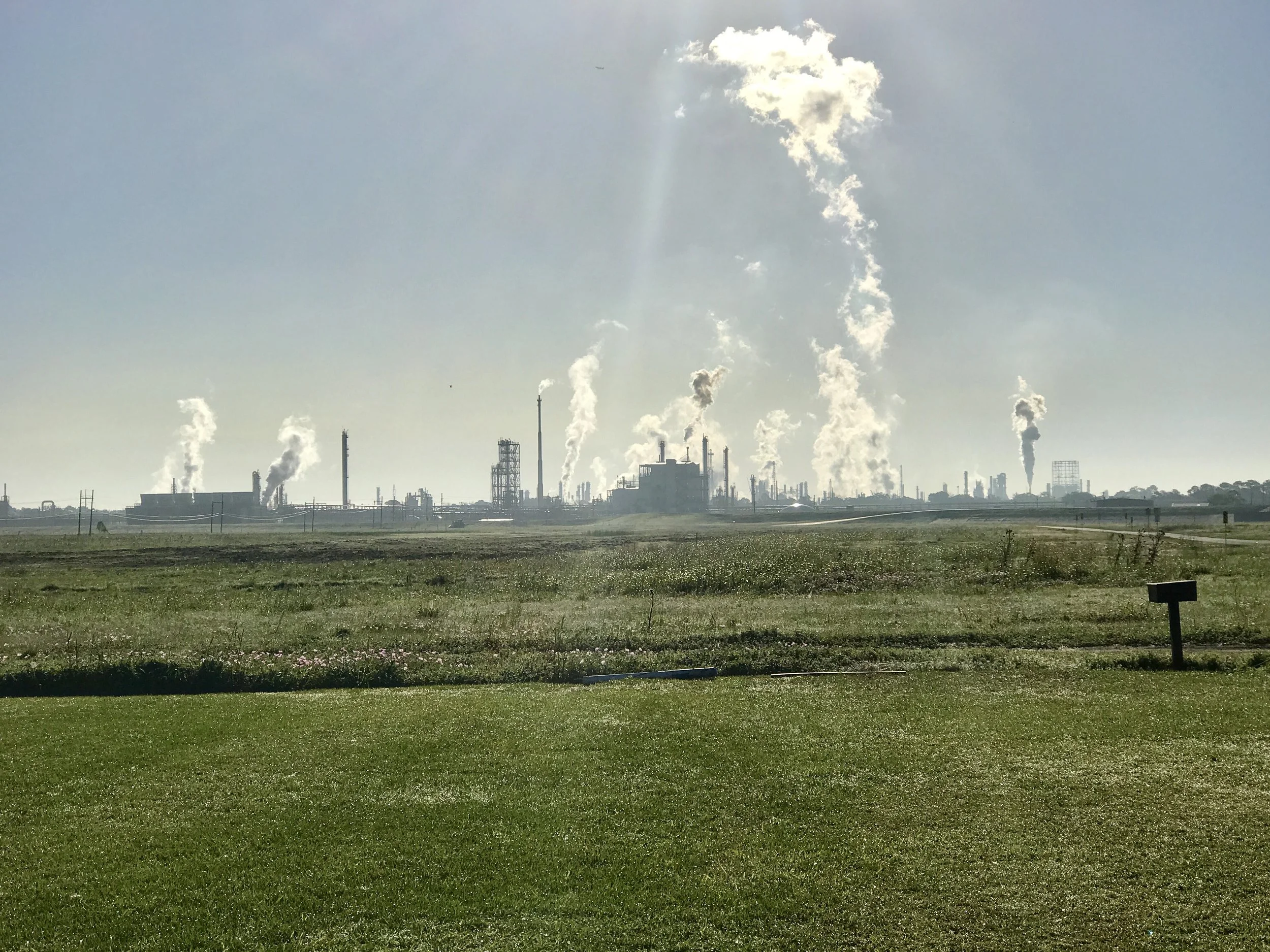
Pic 1, A refinery beyond the spillway north of NO.
Pic 2, Another shot of one of many refineries in cancer alley.
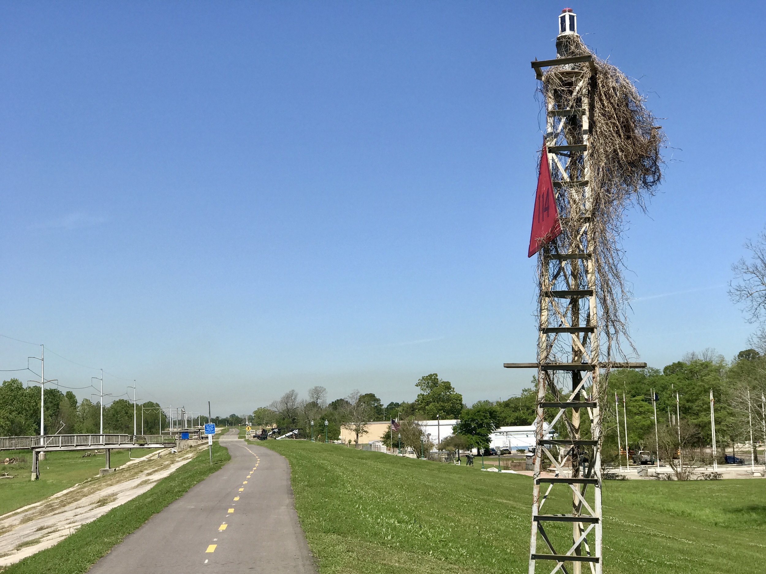
Pic 3, Some crud in a flood marker, maybe from Katrina?
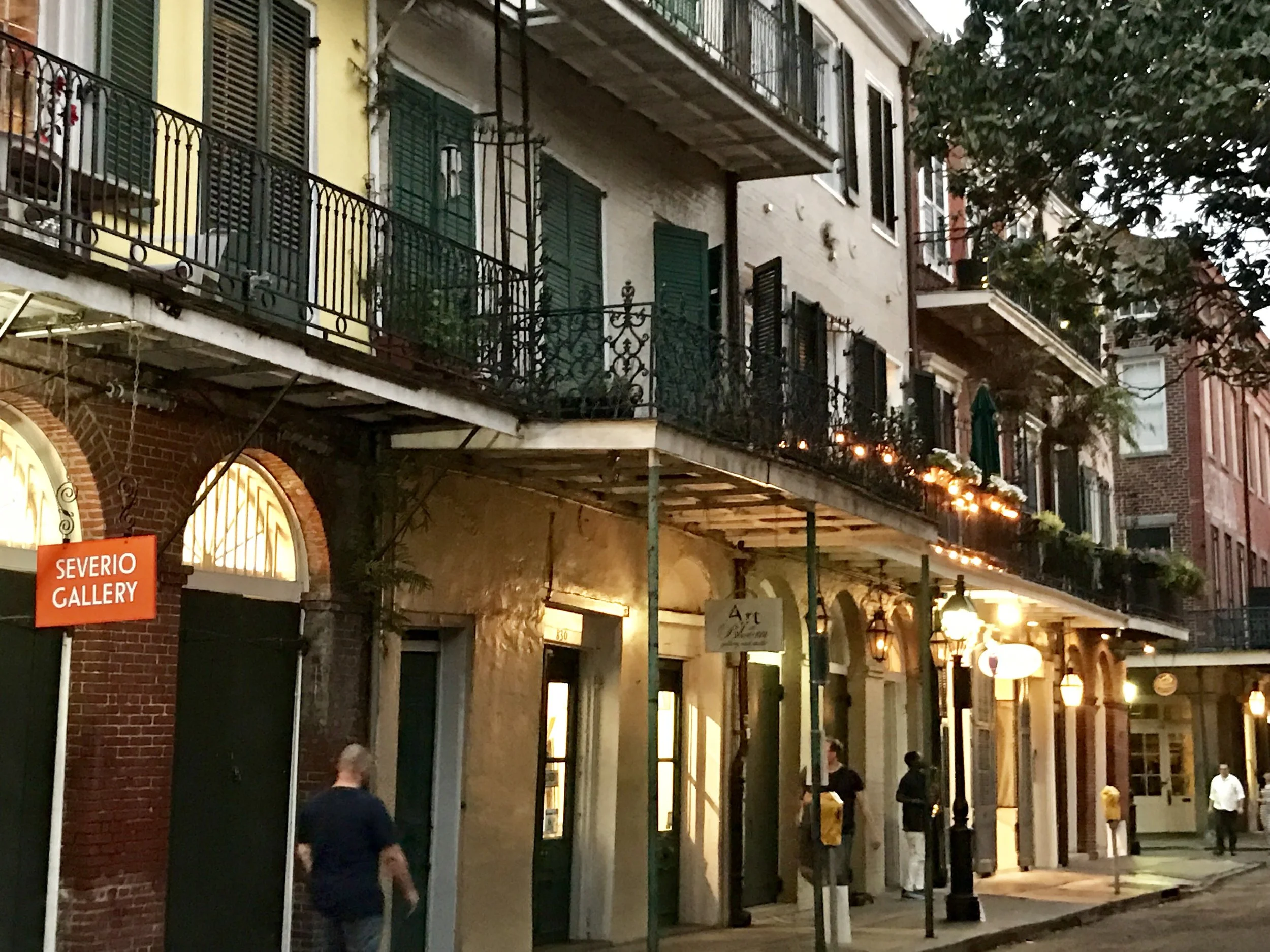
Pic 4, Typical street in French Quarter, NO.
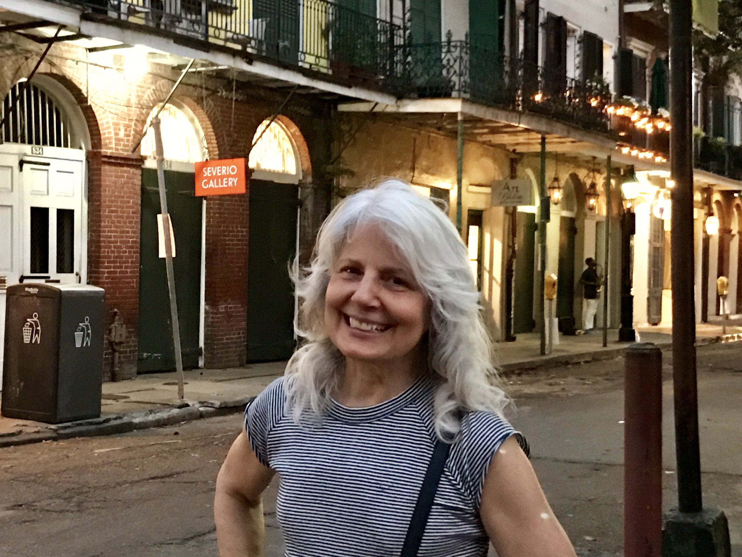
Pic 5, My friend Carolyn enjoying herself.
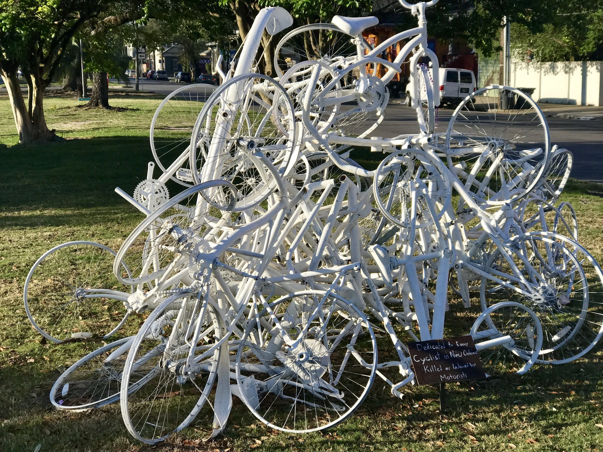
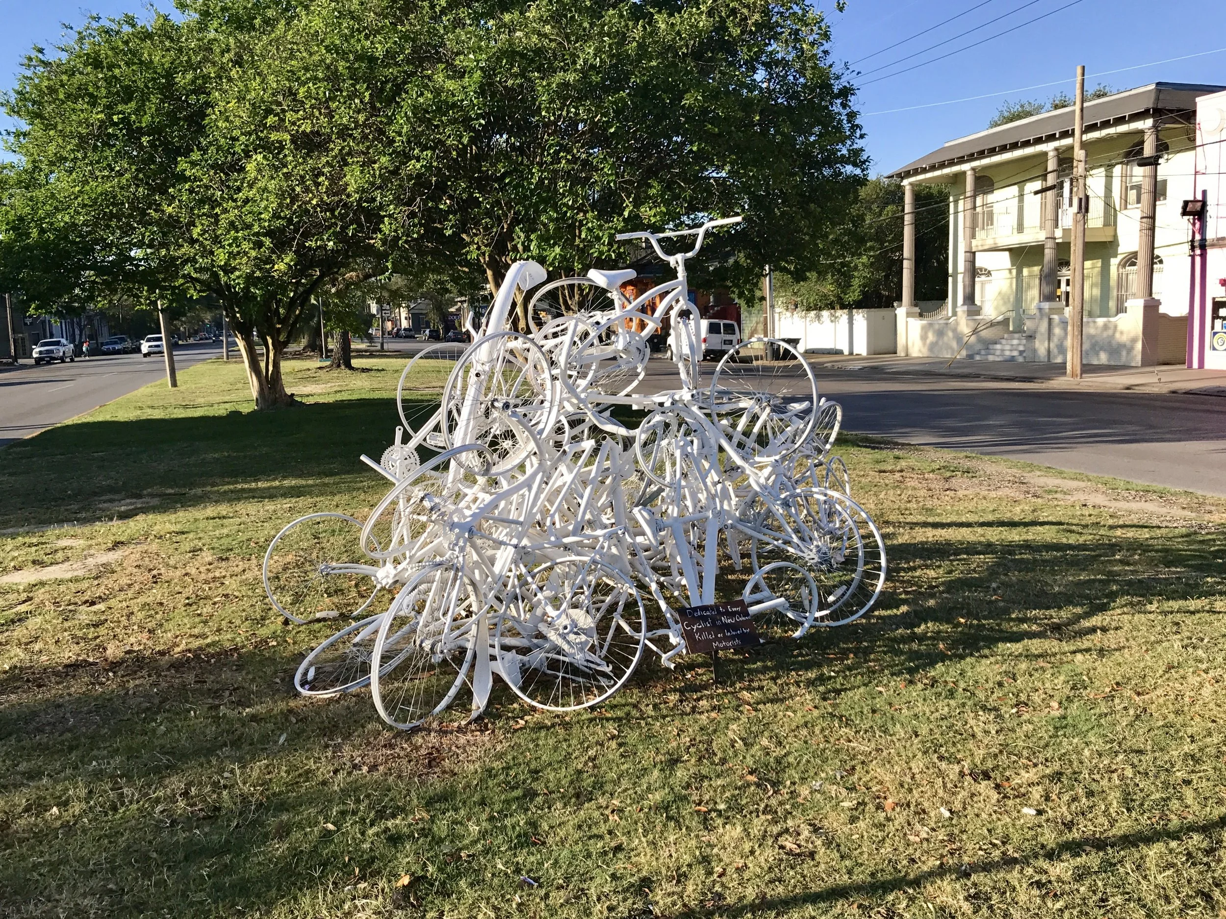
Pic 6, An effigy for bikers in NO.
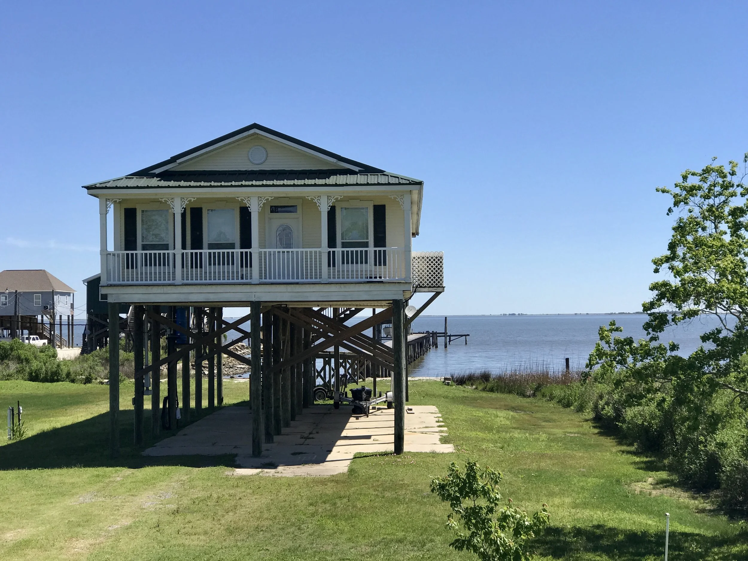
Pic 7, Typical house in bayou country NE of NO.
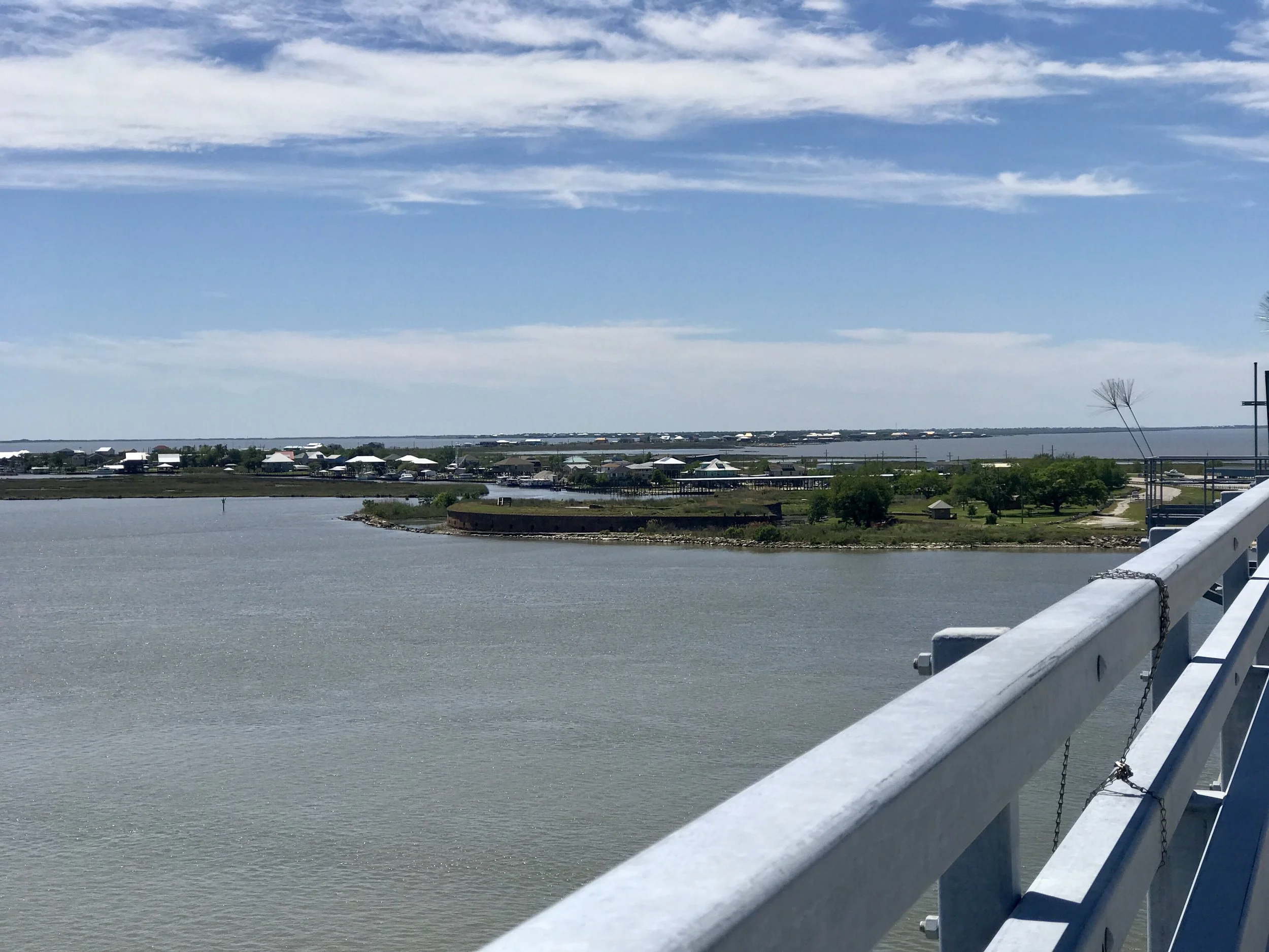
Pic 8, Mississippi coast.
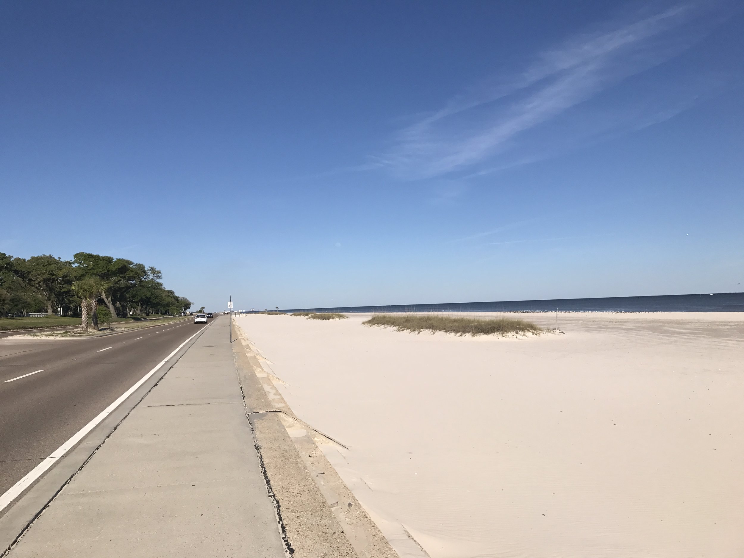
Pic 9, Mississippi coastline.
More to come,
Michael
Southern Tier, Post 38
Day 40, Post 38: The storm moved in, and during the night I was aware of thunder and rain. When I awoke in the morning the forecast called for the rain to end soon, and for the day to clear. The wind forecast was now at 7 mph out of west. Perfect! When I left Gonzalez, LA, I could tell the day was going to become beautiful.
And so it was. It took about 20 miles of unpleasant riding to finally get back to the ACA "Southern Tier" because the nearest road back to the route looked dangerous and I made the decision to go out of my way to avoid it. It was a poor choice in the end because I had to ride for over ten miles on a highway with the most potholed, buckled shoulder I have ever encountered. That's the breaks in the long distance cycling game - sometimes one will encounter a horrible road and be forced to ride on it. I will also add that I have come to respect the care the ACA puts into their road choices. Riding with their maps definitely makes one's ride safer and more pleasant. They can be trusted.
Once through the tough stuff I returned to the road and levee that follows the north side of the Mississippi. The communities are easy going, and relaxed, although there are patches of heavy industry, most notably petroleum refineries. It's very worth noting that the stretch of communities I've been cycling through are in "cancer alley". Generally speaking, this is the area along the Mississippi River between Baton Rouge and New Orleans which contain numerous industrial plants. Locations in this area with clusters of cancer patients have been covered by the news media, leading to the "Cancer Alley" moniker.
Like so many other life threatening areas, they look less threatening when the weather is good. That was my experience today. I can't say I noticed much beyond petrochemical plants and areas where homes are small and dilapidated. But it is intriguing that since I crossed the border and overnighted in Merryville, I have learned that there are communities here where no one drinks the local tap water. In some areas, folks boil it - in others, they happily drink it out of the tap. In other places they drink bottled water. I've asked a lot of questions, and most people can only tell me what they do, but not why. In other words, if the water in a community is bad, the locals don't seem to know why it's bad. But if general practice is to not drink it, they won't... Then ten miles up the road, the locals brag there's nothing wrong with their water - yet, if I ask, but they won't know why their water is ok, nor why their neighbors' water is considered unsafe.
Tomorrow I will cycle 35 miles along the levee (a designated trail all the way to downtown New Orleans!) and meet up with my friend Carolyn in the late afternoon. On Wednesday I will take my bike to a bike shop to get my entire drive chain rebuilt. If I don't post for a few days, worry not - that just means I'm having fun and I will post on Friday. But who knows - maybe there will be so much to describe I'll just have to get it down...
Check out my road cycling activity on Garmin Connect.
https://connect.garmin.com/modern/activity/1656812112
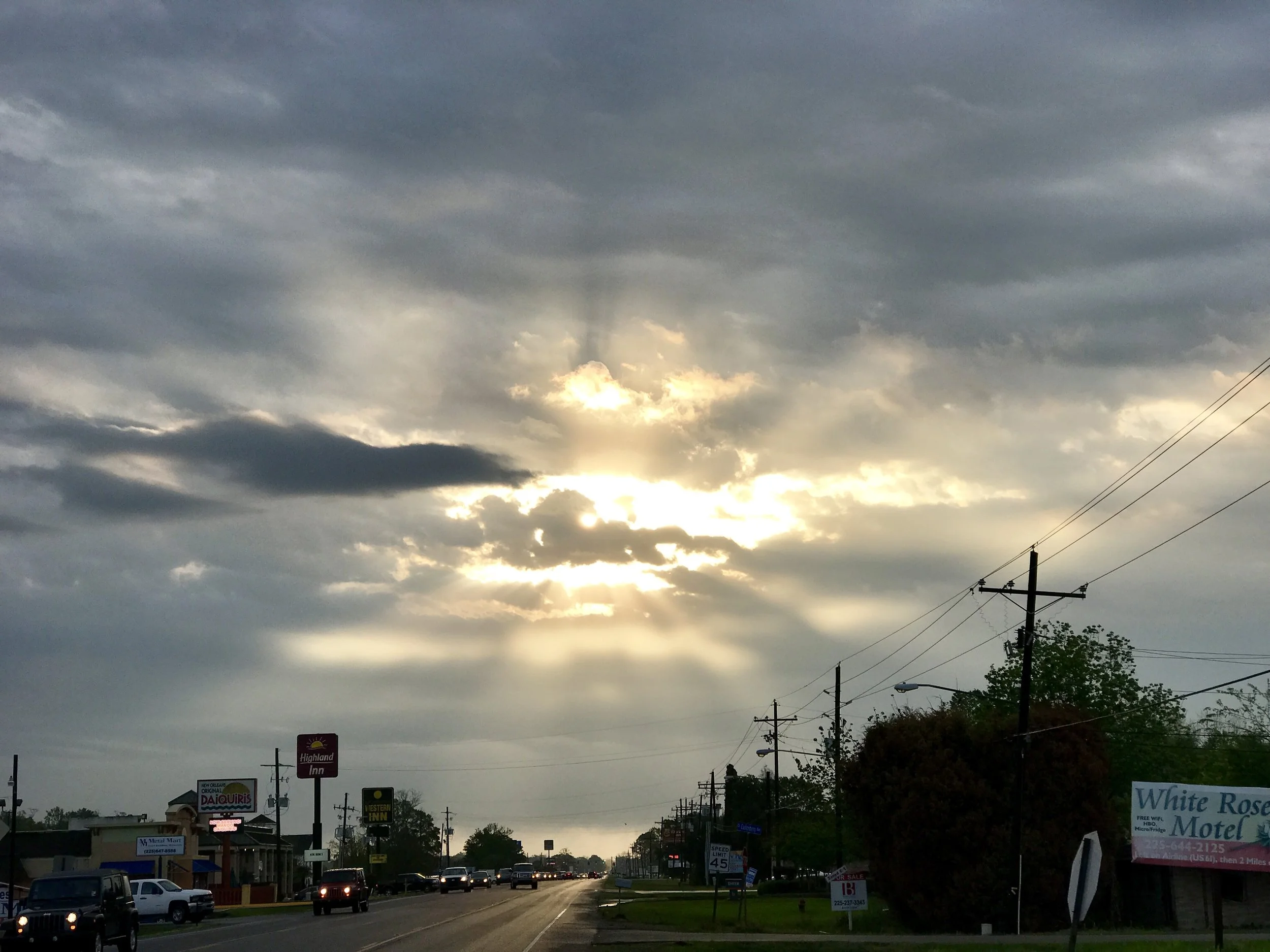
Pic 1, Starting the day after the storm.
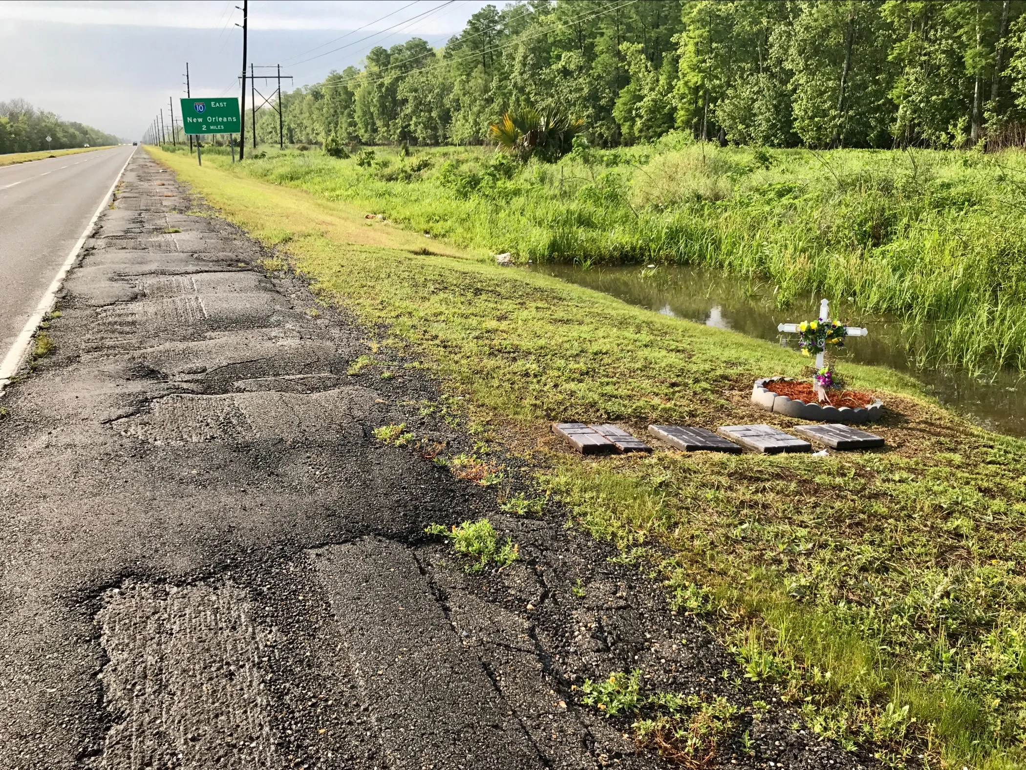
Pic 2, The shoulder on LA 61 going SE. The effigy is quite appropriate - this road is a nightmare!
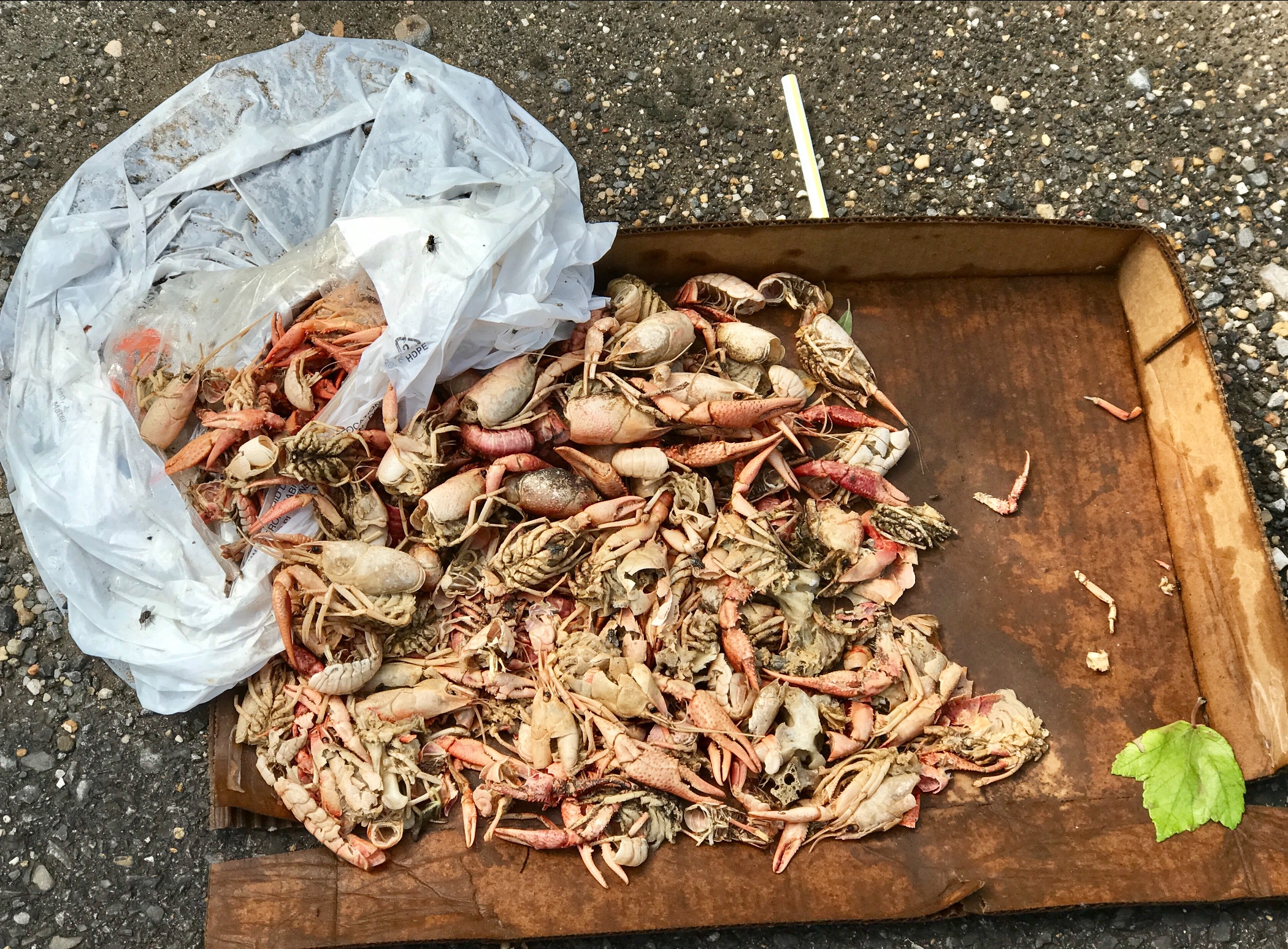
Pic 3, Someone left their crayfish by the roadside... is this roadkill or detritus?
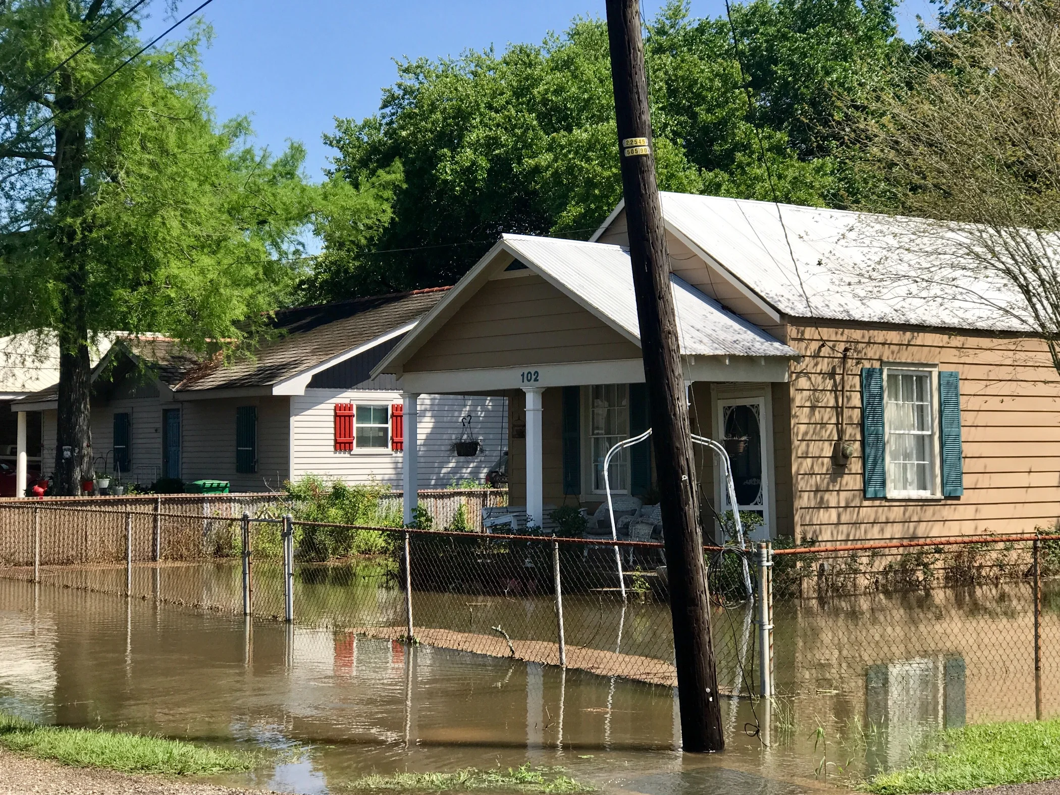
Pic 4, This is what rain does in South Louisiana. The locals tell me the water will be pumped out by end of day.
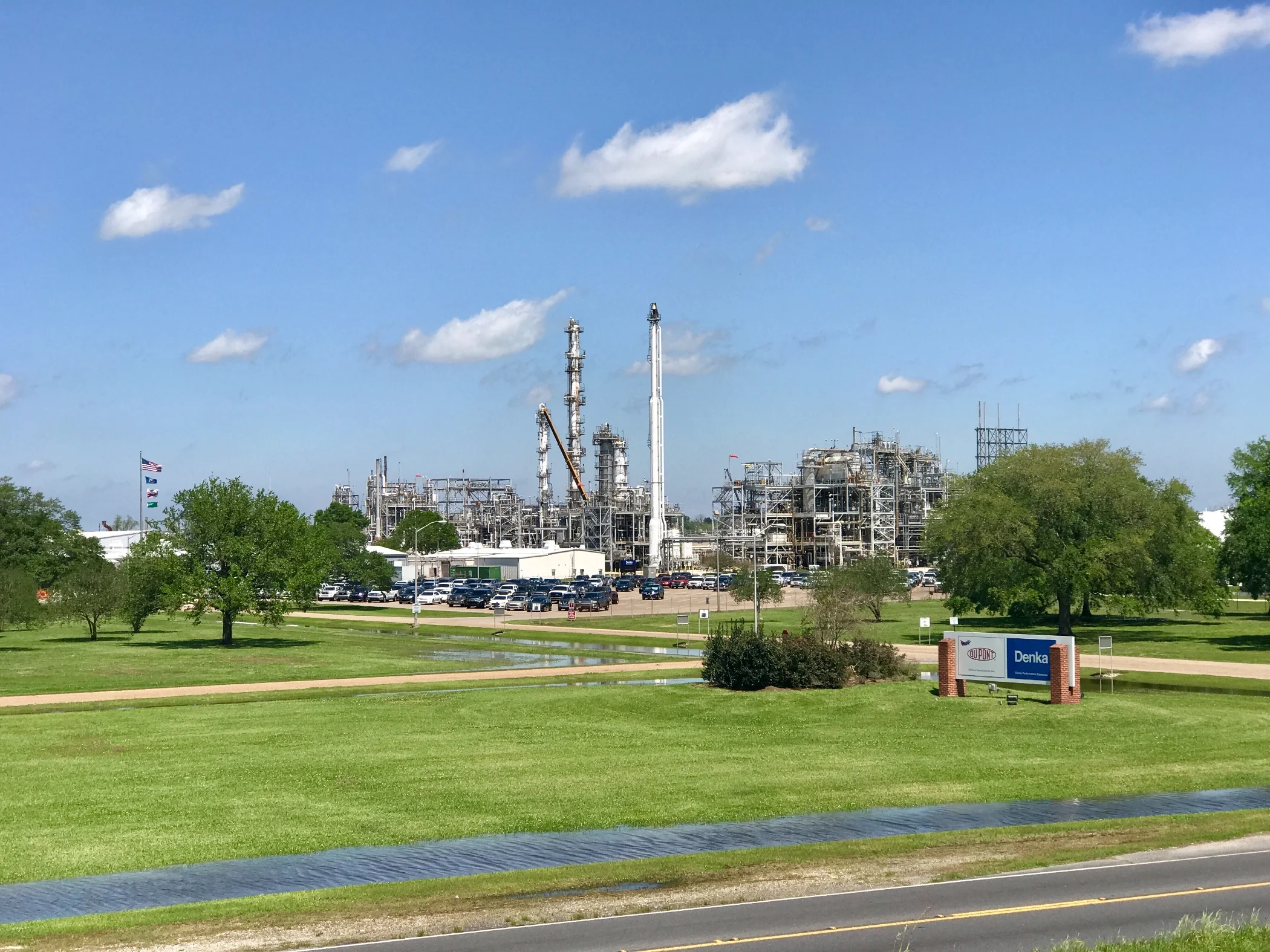
Pic 5, Petrochemical plant as seen from the levee.
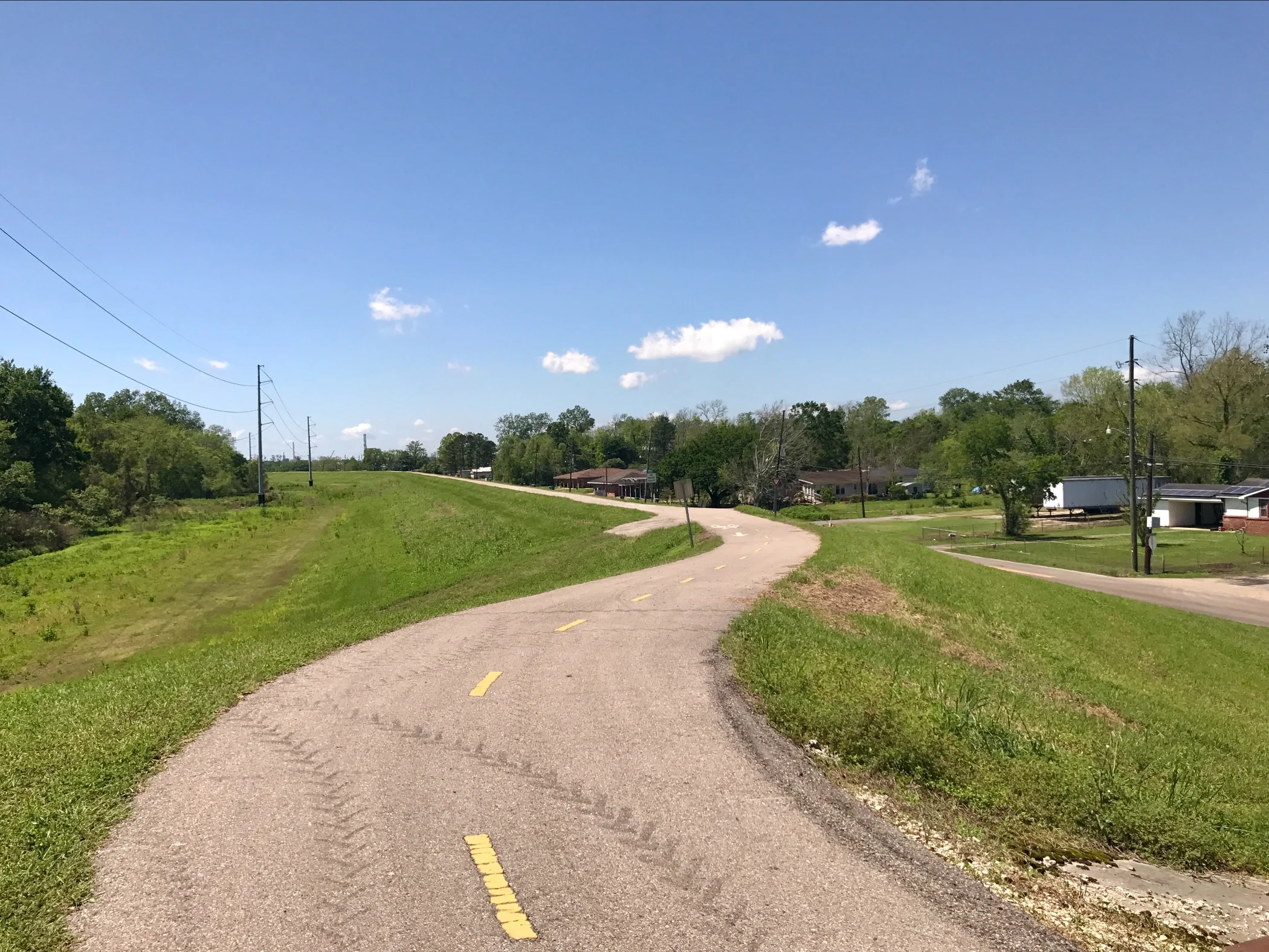
Pic 6, Bike Trail on the levee. This picture doesn't really show how large the levees are - they run on each side of the river from New Orleans up to Baton Rouge - about 100 miles. How far south they go beyond New Orleans I don't know...
More to come,
Michael
Southern Tier, Post 37
Day 39, Post 37: What a curvy river the Mississippi is this far south - and huge! In Baton Rouge I saw several large ocean going tankers heading downriver. This surprise me because I'm still 75 miles from the delta. So I checked Wikipedia: "The Port of Greater Baton Rouge is the tenth largest port in the United States in terms of tonnage shipped, and is the northernmost port on the Mississippi River capable of handling Panamax ships". I had to look up Panamax - "any vessel intended for regular use in both the Atlantic and Pacific oceans".
Anyway, I'm impressed. I made my way to a bike path alongside the river that runs along a considerable levee - which appears to be built on both sides of the river all the way from Baton Rouge to New Orleans. I followed the levee until the path turned to gravel and then stayed near the levee on a road that followed its perimeter. I followed the curve in the river for about 10 miles, the levee always on my right and stunning farmland to my left. Had I not been battling a 15-20 mph headwind the entire time I would have found this ride heavenly... but alas, the wind beat me down and after a while I knew my strength would not hold out. I left the river bank and headed to the nearest town (about 20 more miles in a headwind) and found shelter in a motel. The wind is supposed to be up to 25 mph tomorrow, still out of the south but a bit more to the west. Well, tomorrow is tomorrow - I'll deal with whatever comes my way... One way or the other I'll be in New Orleans by Tuesday afternoon.
Check out my road cycling activity on Garmin Connect.
https://connect.garmin.com/modern/activity/1655300545
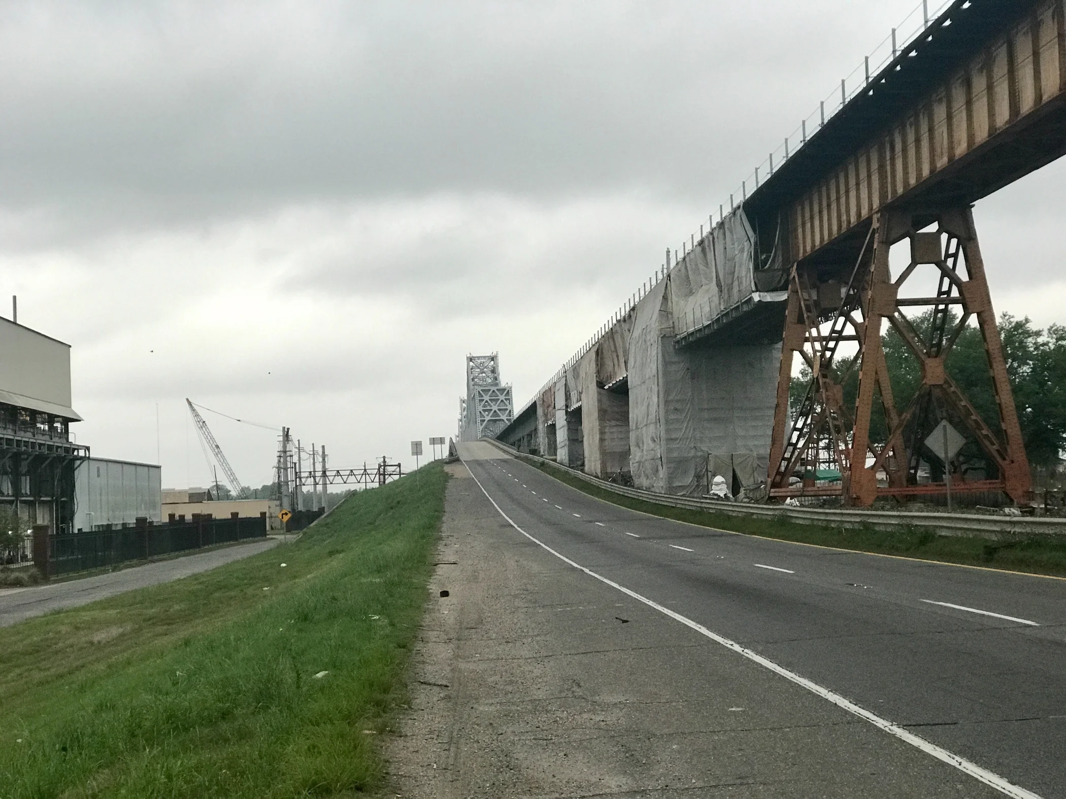
Pic 1, Looking back at the bridge I biked over to get into Baton Rouge. I would have loved to have taken a picture of the river at the top, but there was no shoulder and lots of traffic, so stopping was not possible.
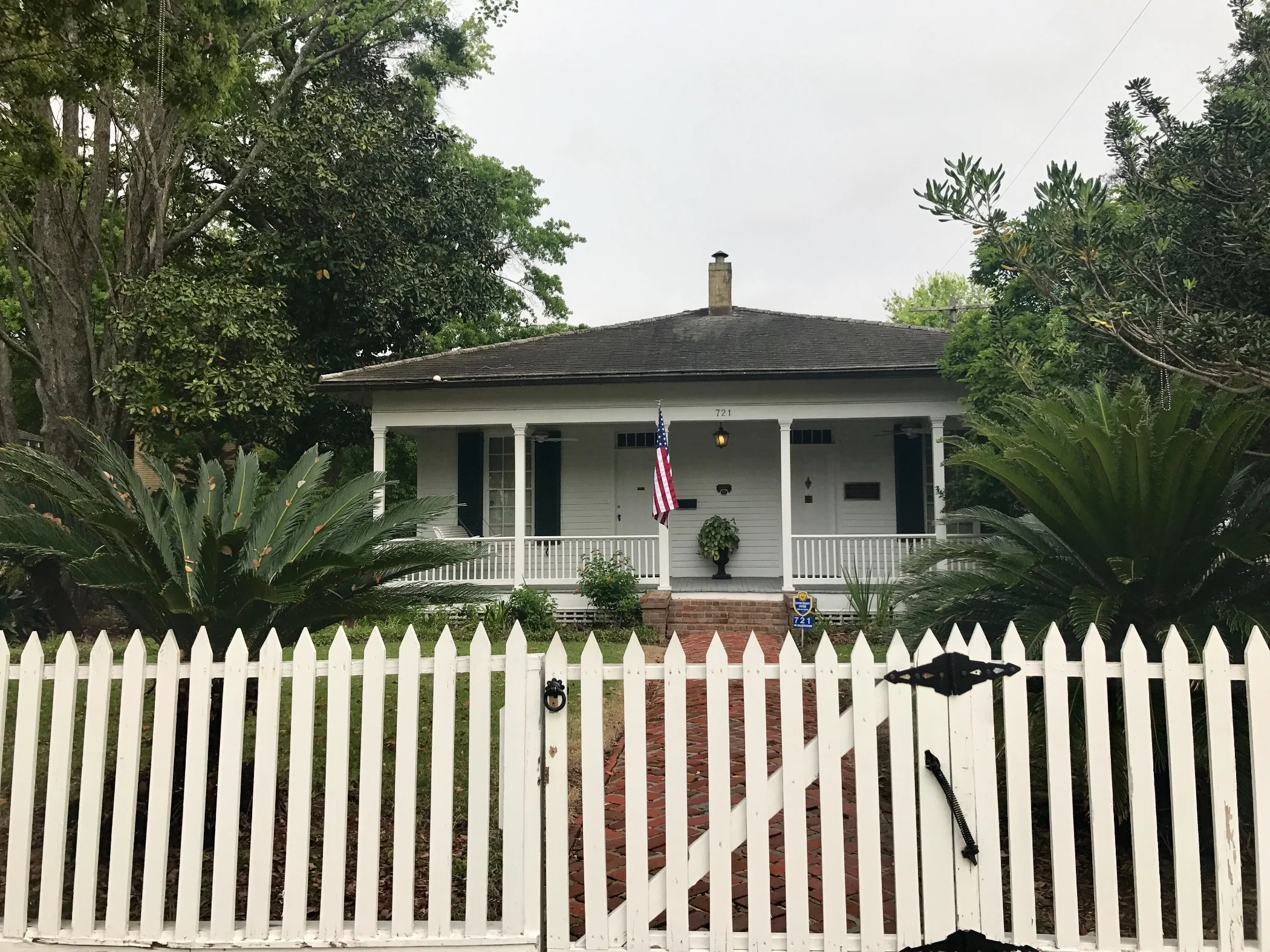
Pic 2, A typical late 19th century Spanish home in Baton Rouge.
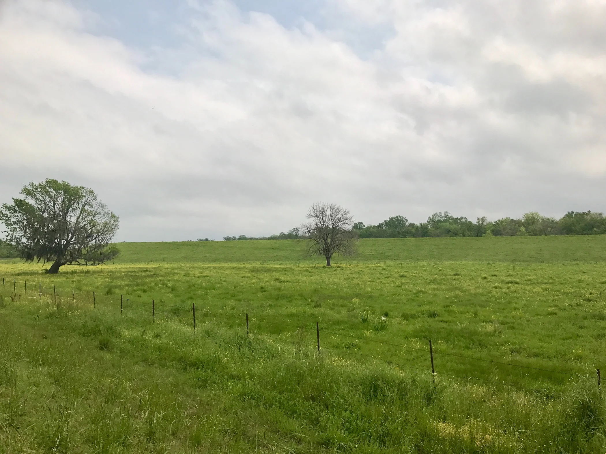
Pic 3, The landscape near the levee in a bend of the river.
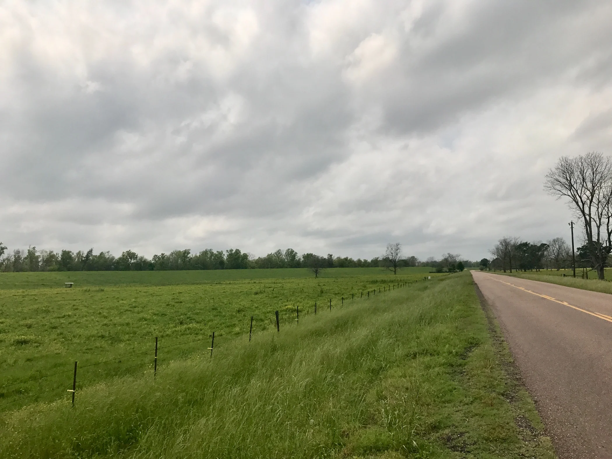
Pic 4, Same as above, different view.
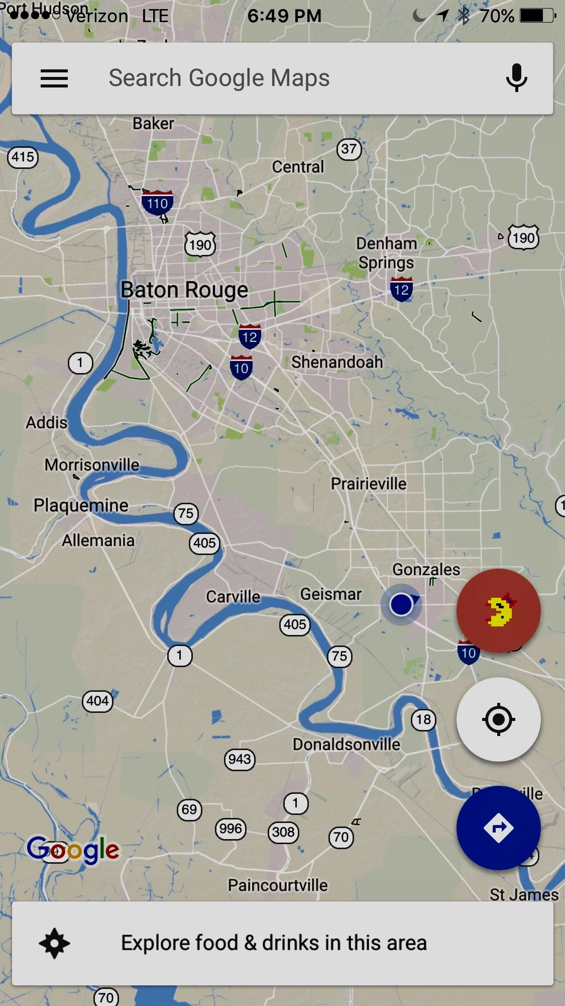
Pic 5, Google Maps showing the curves in the Mississippi south of Baton Rouge.
More to come,
Michael
Southern Tier, Post 36
Day 38, Post 36: Detritus and road kill. I started thinking about both after I stopped at a creek to relieve myself and noticed a bunch of crayfish lounging in the sun on some rocks. Only after I rode off did I realize I had missed a great picture. Then I began to think about the many things I noticed that I took for granted everyday. And I thought about four great coffee table books I could create as I cycle around the astonishing North American continent. One could be on billboards (best example - a billboard in Arizona advocating that the US leave the United Nations with a website for information), or effigies (the roadsides are loaded with some of the most creative and colorful effigies I've ever seen), or roadkill (you can learn a lot about an area's wildlife by paying attention to the dead animals on the roads), or detritus (it's astonishing what one can see on a roadside). So I resolved to get a picture of a live tortoise because I had seen so many earlier in the day, and crayfish if I had another chance. I didn't, so you will have to wait for another day. Historically, I have avoided taking pictures of roadkill - even though some are startlingly vivid - mainly because I have assumed others would not want to see them. But today my interest peaked, and I gave in. You'll see one example at the end of this post. Around here the roadkill consists largely of crayfish, frogs, turtles, possum and armadillos. In West Texas deer was common, as were armadillos. I have also seen some large birds - usually vultures, but also some hawks and one eagle. As to detritus, destroyed tires are common, wood of all sizes, bolts, tools, pieces of plastic that seemed to be part of microwaves, refrigerators and other appliances, and more fast food wrappings and drink cups than you could ever imagine.
I made up a little time today as insurance for my arrival in New Orleans by Tuesday. Im in Livonia, Louisiana... all goes well. Really enjoying this place...
Check out my road cycling activity on Garmin Connect.
https://connect.garmin.com/modern/activity/1652822560
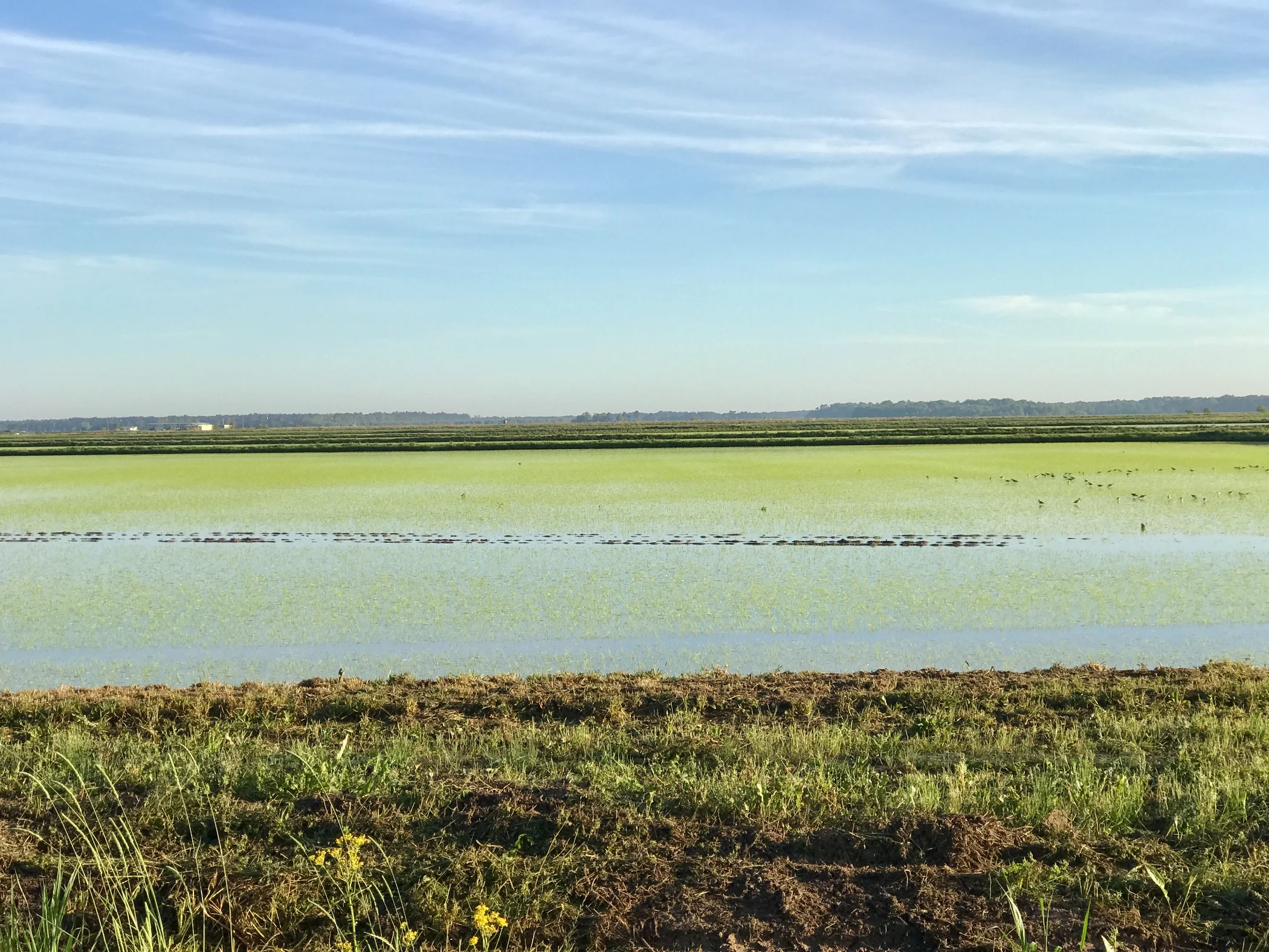
Pic 1, Rice field just east of Oberlin.
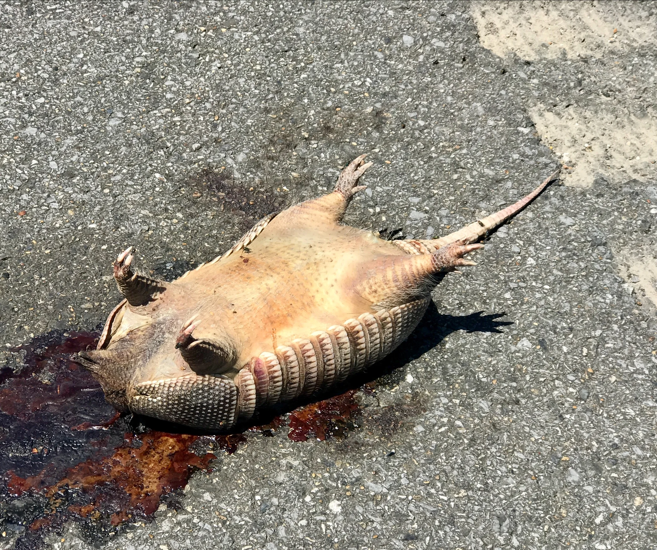
Pic 2, Armadillo road kill.
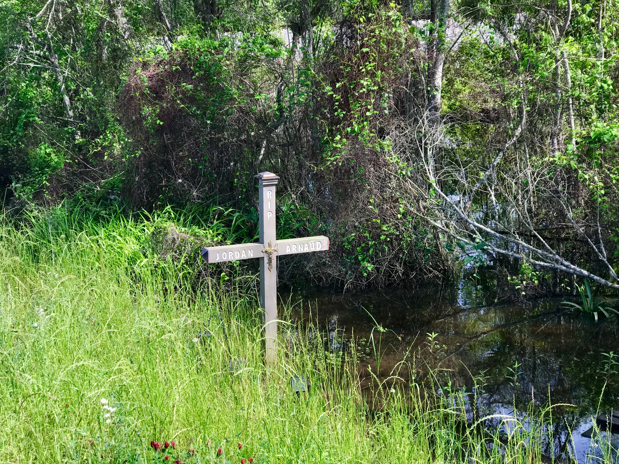
Pic 3, Effigy on highway 190.
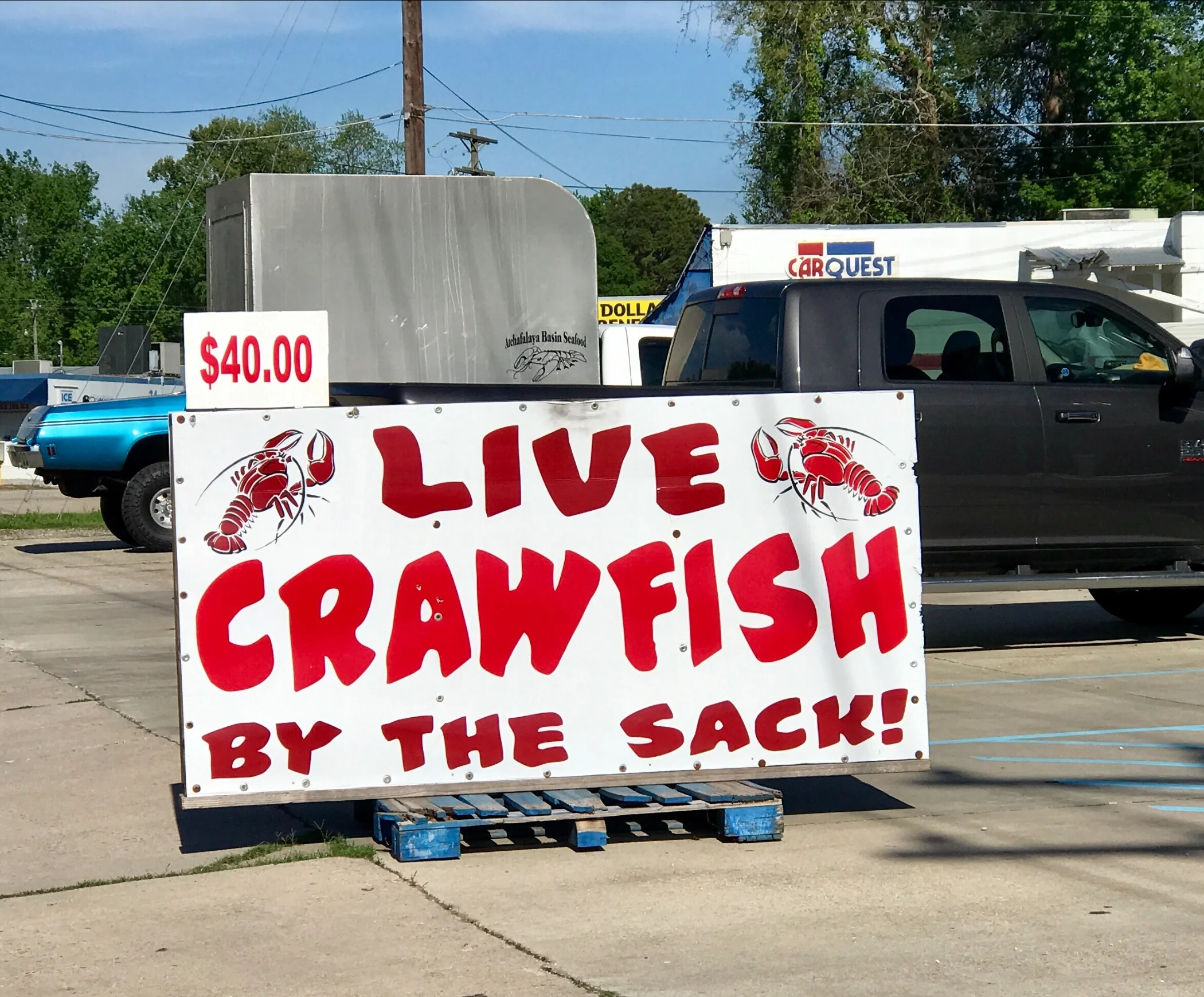
Pic 4, Apparently, crayfish are abundant here.
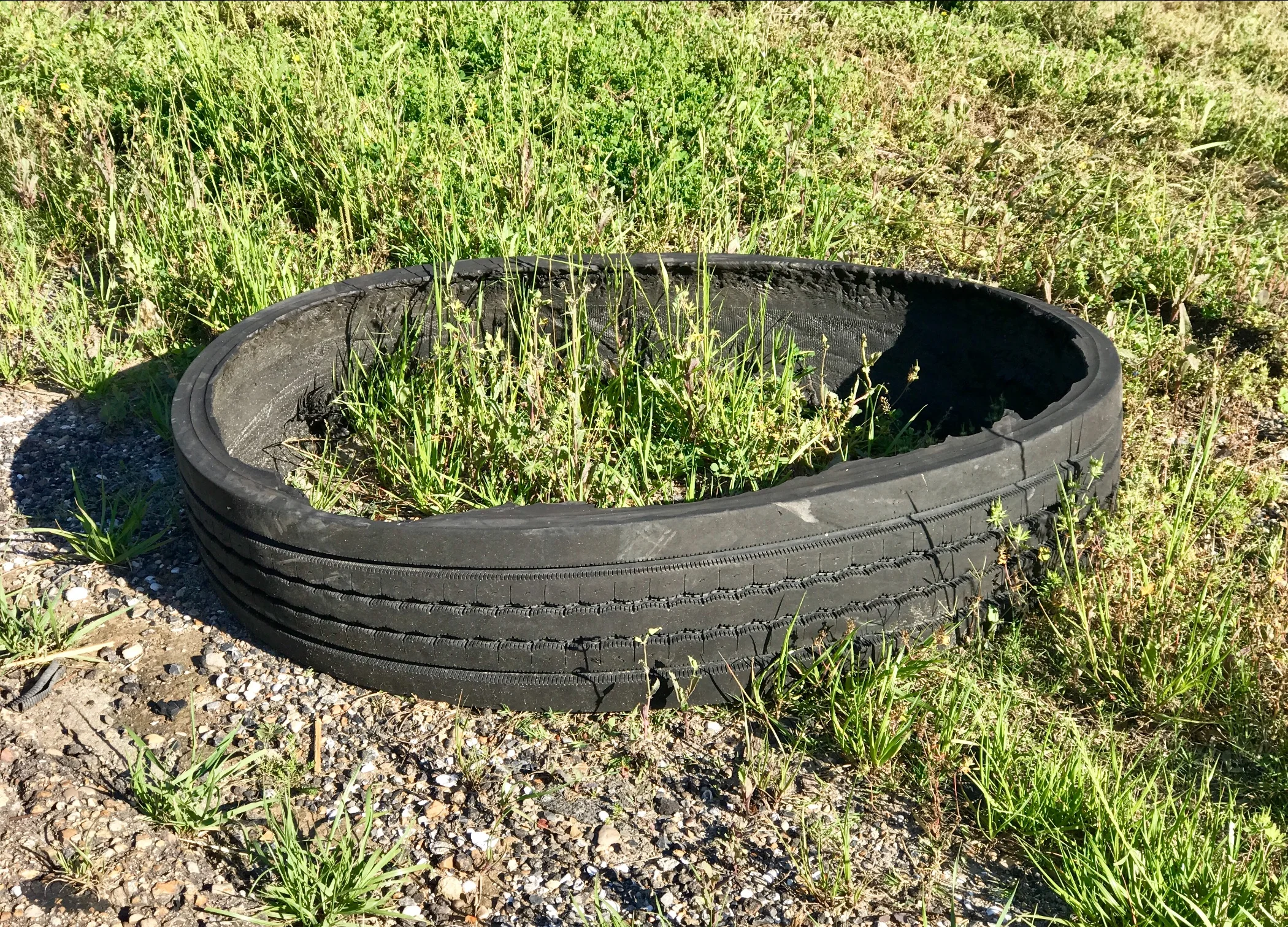
Pic 5, One of hundreds of tires by the roadside.
More to come,
Michael
Southern Tier, Post 35
Day 37, Post 35: One thing about interesting country that I've never visited before is the oddly mild agony that goes with each decision about where not to go. Four or five days back I thought I had more time than I needed to get to New Orleans by April 4, and I was thinking about diverting to the Gulf Coast, only about 40 miles south of me. In fact, I am still wondering why the Adventure Cycling Association (ACA) chooses not to route the Southern Tier along the east Texas and western Louisiana coasts. I suspect it's that the roads are not contiguous and/or are too dangerous with traffic. I am not complaining - the route goes through fascinating and historic towns a little further north and the route gives cyclists a great opportunity to see the real Louisiana, and not a tourist version. But alas, it runs out I will only have time to deviate on one day, and that's to make better time along Route 190 between Opelousas and Baton Rouge so I'll reach New Orleans in time.
The people I am encountering aren't snowbirds, for sure. With only a few exceptions, they are native Louisianan's who were born and raised here. Through their eyes I feel like I am able to glimpse a bit of their reality, and the social, historical and political context in which decisions are made, is somehow a bit more palpable.
The best part of today, in addition to beautiful skies and a verdant landscape, was each meal I had. Not so much for the food, but for the social context. Lunch and dinner were especially fun. For lunch I stopped at a diner on an intersection of two highways, and as I was getting off my bike, I heard someone behind me telling me that I had picked the best place for lunch between Maryville and Oberlin (I knew it was the only place, but the enthusiasm of the endorsement got my hopes up anyway). I walked into the diner. Three tables of people stopped talking and stared at me. I had my helmet on and was in bike shorts, a screaming yellow shirt, and gray tights. I'm sure I looked weird. One of the men said (loud enough for everyone in the restaurant to hear it) "How far have you come?" I answered, "San Diego". It was silent for a moment. Then the next question, "Where you going?" "Florida", I answered. More silence, the kind you can cut with a knife. Everyone kept staring. Then the man said, "Well, hell, you're over half way there!" And everyone laughed. And I laughed. "Yep", I said. The waitress winked at me, "We like to tease the cyclists who come through here - gotta have some fun sometimes. ...Want some sweet tea, honey?"
Dinner was a Shrimp Po-Boy, cooked up by a Colombian woman married to a Puerto Rican cop who used to live in New York City. The guy wasn't always a cop - he came to Louisiana because he got a good deal on buying a local golf course just after Katrina. But he closed it six years ago when he got steady work in town as a cop. Policing is far easier work in western Louisiana than running a golf course, because nobody golfs around here. Just too sissy a sport for rural Louisiana.
Check out my road cycling activity on Garmin Connect.
https://connect.garmin.com/modern/activity/1650741577
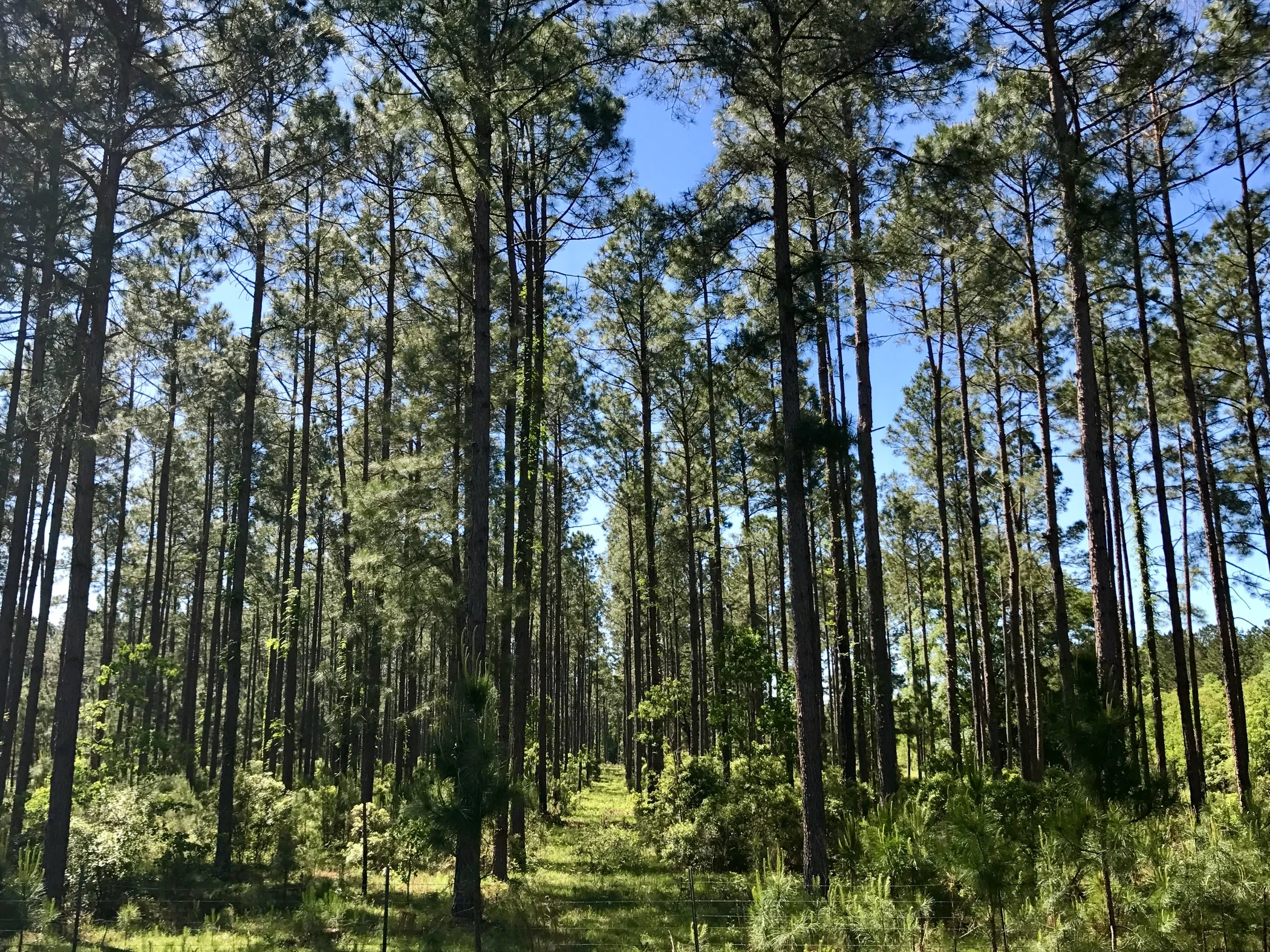
Pic 1, Louisiana forest alongside the road.
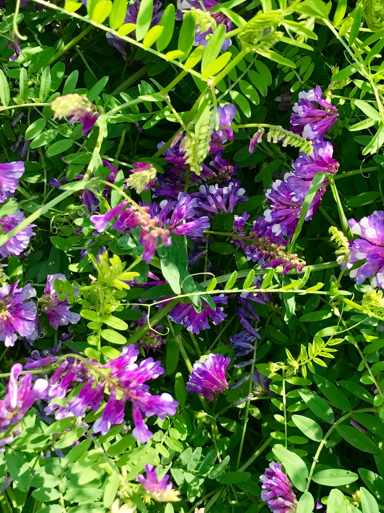
Pic 2, Close up of a vetch alongside the road. Too pretty to kavetch about.
Pic 3, Another roadside oddity.
More to come,
Michael
Southern Tier, Post 34
Day 36, Post 34: Lousiana! I passed through East Texas at Bob Weir, crossed the lazy meandering Sabine River into Louisiana and ended the day at Merryville, (so named because in the late 1800's it was easy to get liquor here (no longer, unfortunately), which earned the appellation of "that merry city". There's a museum here with a cabin, a stage, some tent spaces and a shower and bathroom, so some enterprising town folk have set it up for "cyclists only" camping and got it listed on the Adventure Cycling Association (ACA) Southern Tier map. It's a good thing too, there's no other place to stay for 50 more miles to the east and a good 25 to the west.
This area has more churches per square mile than any other place in the US. I had already noticed an increase in churches as I progressed through east Texas, but this is on another scale altogether. In a conversation with the couple who run the museum and cyclist only camping operation, I learned that the wife had been born into "Church of Christ" - the most doctrinaire of all - no music, no dancing, no movies - while her husband had been born into a Baptist household. Now, the Baptists are way too liberal for the Church of Christ folks. Add to that a constant desire to interpret things differently, resulting in lots of sub groups of sub groups - all of whom are fervent about their truth. Mix in the Pentecostals, (the other big church around here) and you have a lot of belief systems indeed. For pent up " belief relief" there are nondenominational churches, where the folks exhausted by theological doctrine can believe what they want - as long as they're worshipping Jesus, of course.
Check out my road cycling activity on Garmin Connect.
https://connect.garmin.com/modern/activity/1649300945
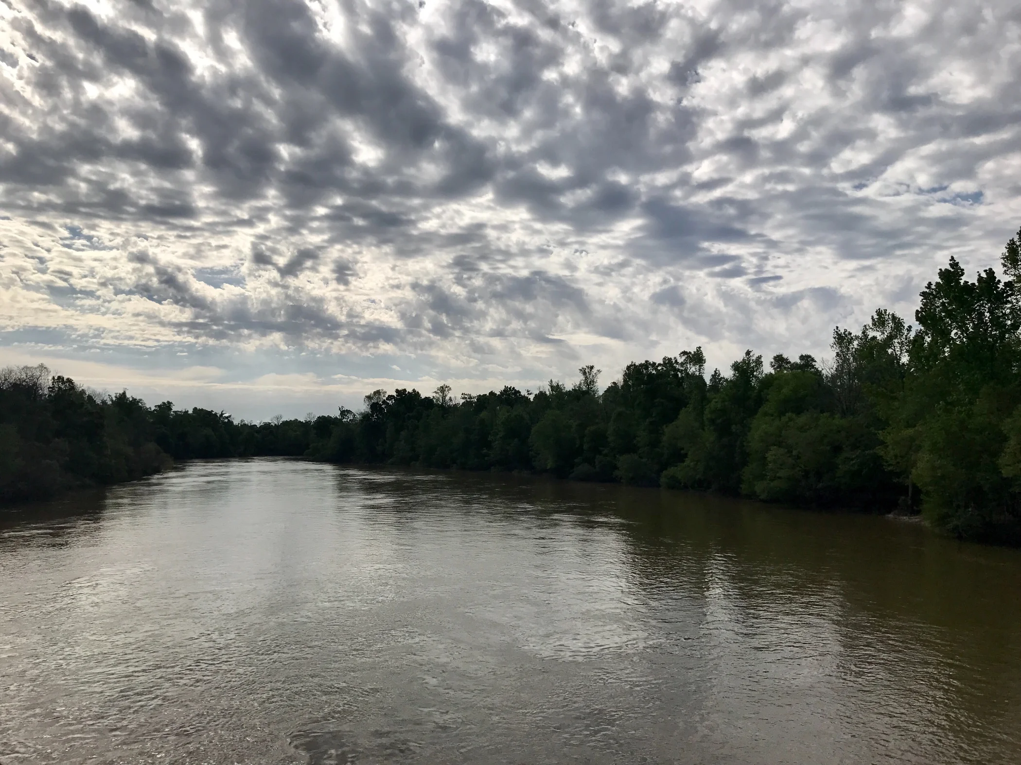
Pic 1, Morning shot leaving Kountze, TX
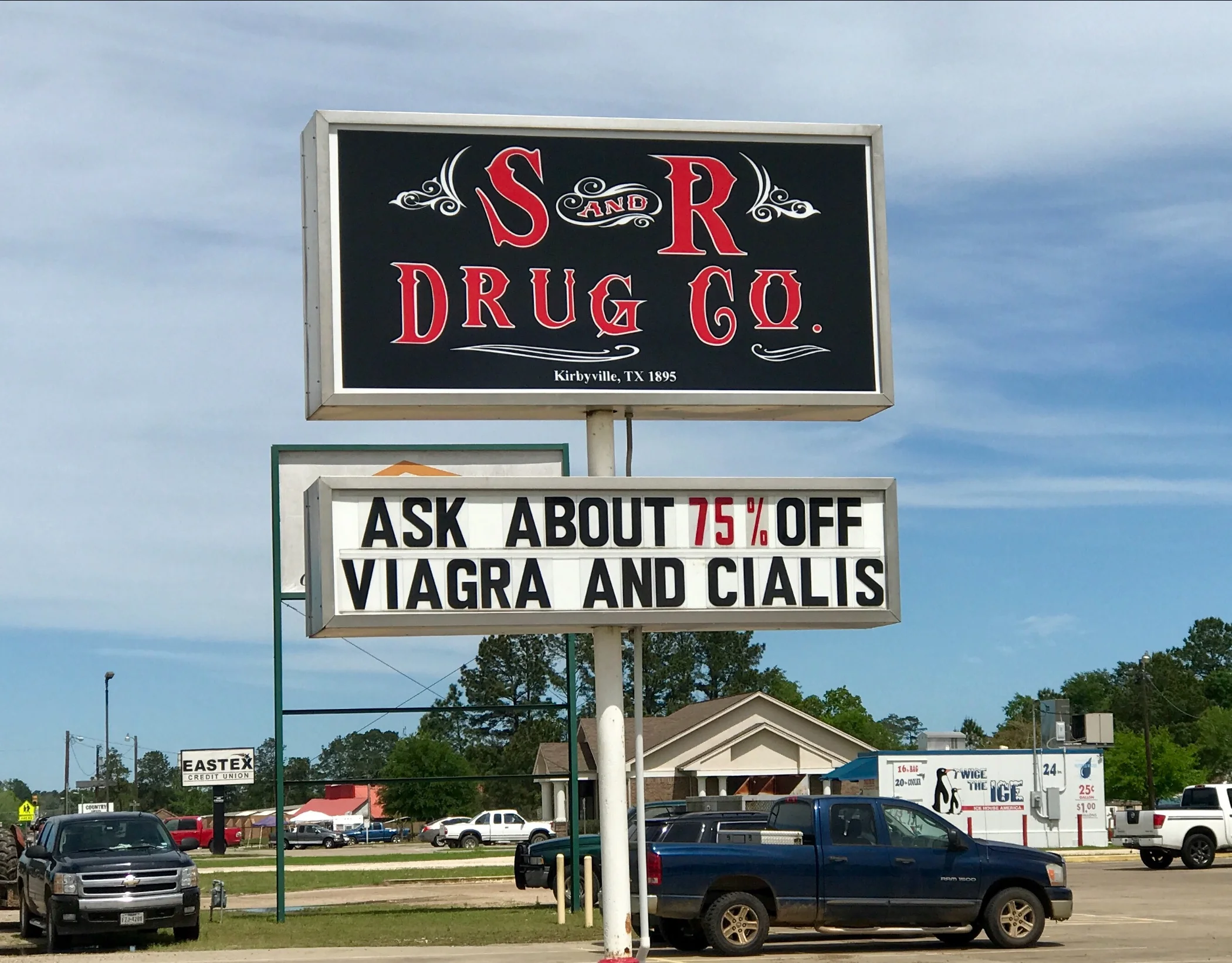
Pic 2, Need I say more?
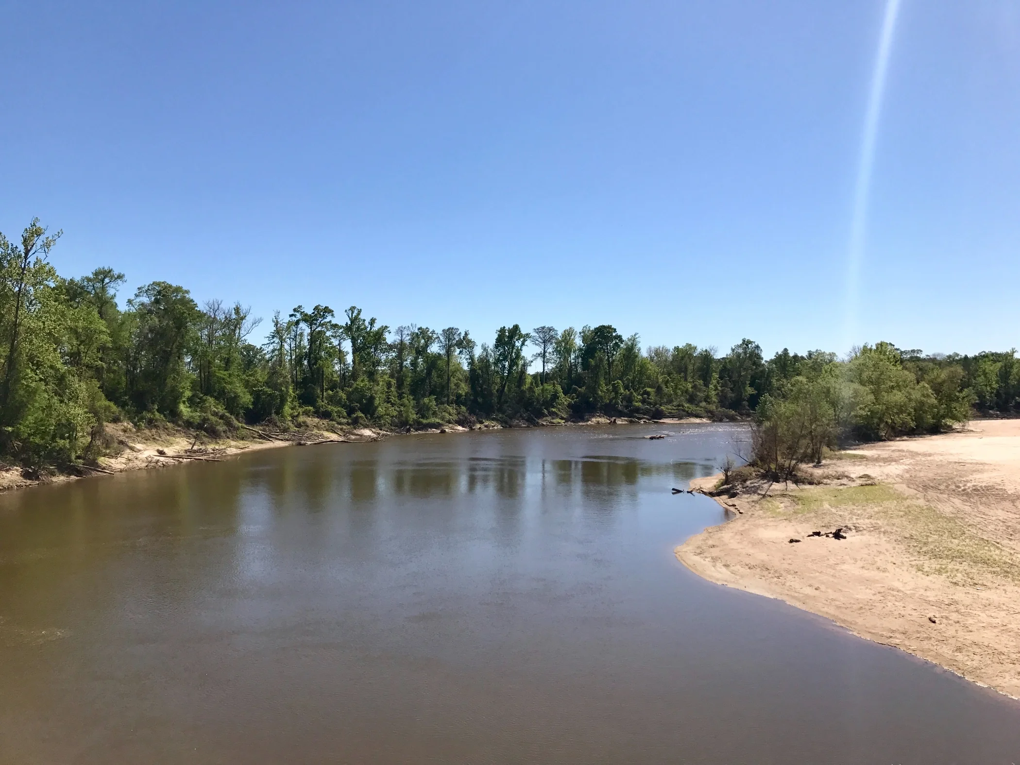
Pic 3, The Sabine River, border of Texas and Louisiana.
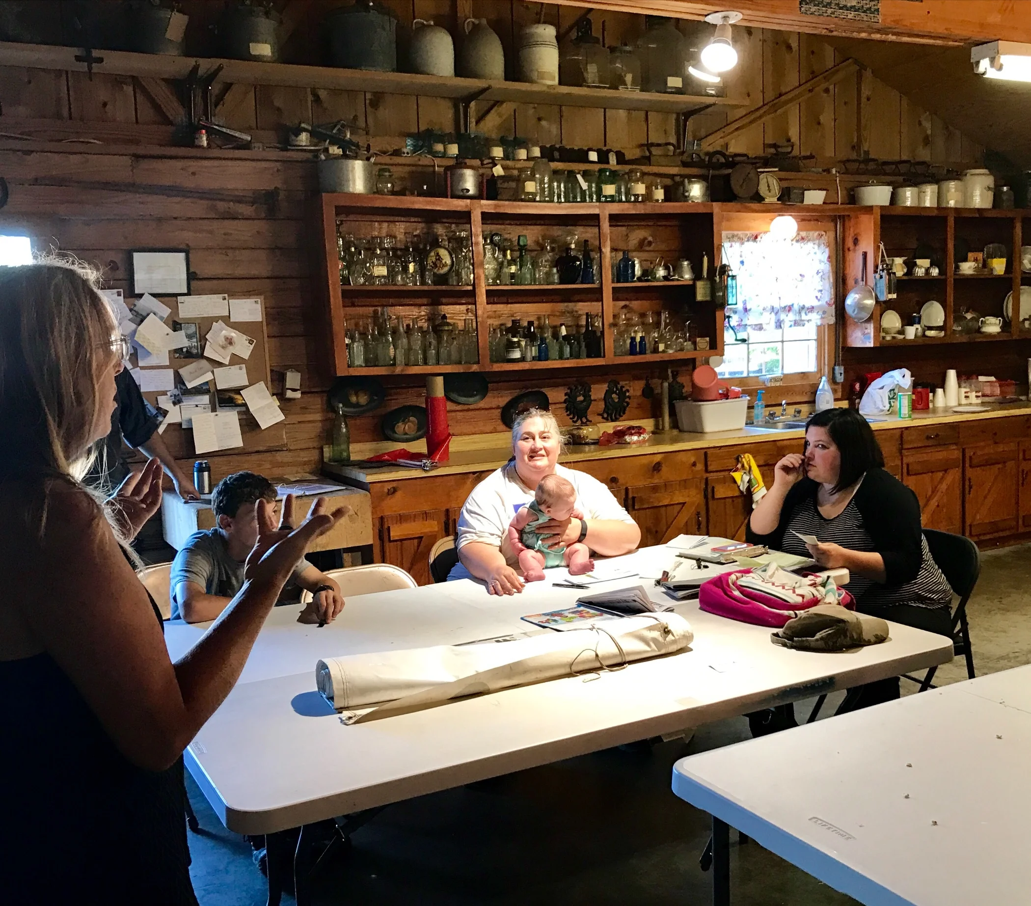
Pic 4, Talking to our hosts (other cyclists camped here in addition to me) in Merryville, TX.
More to come,
Michael
Southern Tier, Post 33
Day 35, Post 33: A very rainy day. I woke up to a storm front that extended for several hundred miles above Houston and into the Gulf Coast. Along with it came severe thunderstorms, tornado warnings, and the threat of hail. I battened up my new shiny new panniers and headed off. I didn't expect not to get wet, but I hoped I might manage to stay comfortable even though I would be cycling in rain.
It's funny how things work out sometimes. I stopped three times to wait for a storm to pass. And two times I timed it right - while I was safely under shelter the hardest rain fell. Boy, when it rains hard in East Texas, it is as if the entire sky opens up and tries to empty out every last drop of water in it. The second time this happened to me I was eating lunch under a tin roofed car shelter. I couldn't believe the intensity of the rain, and I was so grateful I was not biking at that moment. I don't know what would have happened to me.
Eventually I made it just short of my intended destination Silsbee, and took a room in Kountze. Nice place, another budget motel, easy to find in the south. So I am sitting dry and warm in my room, full on a southern fried fish meal and several beers, with full confidence the storm will be gone when I awake and tomorrow will be a great day for biking.
On the way into Kountze I stopped at a general store in Honey Island. While I was there I got into a conversation with a local man of about my own age who offered up some information, "Take the main highway into town and stay at the Super Eight. You don't want to stay at the other place." I had already checked out the Relax Inn (the other place), so I asked him, "Are the prices any different?" He answered, "It doesn't matter, trust me, pay what Super Eight asks 'cause you don't want to stay at the other place." "Why", I asked. "You just don't want to be there, is all", was the reply. I thanked him for the information. But as I biked away, I decided to check out the Relax Inn first. I wondered if the owner was South Asian, and that might be what the man was trying to warm me about. Was it just a good old boy thinking I was another good old boy?
I was right. Not only did I get a great price, I am enjoying a clean and well kept place run by one of the many South Asian families that have purchased mom and pop motels all over America, where the family can live and they can buy into a ready made business.
Several friends have suggested that my experience in Texas probably wouldn't be so positive if I wasn't a white male. I have no doubt whatsoever they are right. As friendly as people are, it's also clear that they may not be so nice under that veil of hospitality if they are suspicious of you. Another friend (who is black) asked me if I saw any black people when I was in West Texas. To be honest, I don't think I did. But here in East Texas, yes, quite a few. I have passed a lot of farms run by African Americans. Granted, I am only a day away from the Louisiana border. But all the same, Texas seems to be as diverse in its demographic composition as it is in its geography. I am so glad I've had this small opportunity to get to know the place a bit better. I've spent over three weeks in Texas, and my sense of it will be forever expanded.
Check out my road cycling activity on Garmin Connect.
https://connect.garmin.com/modern/activity/1647545734
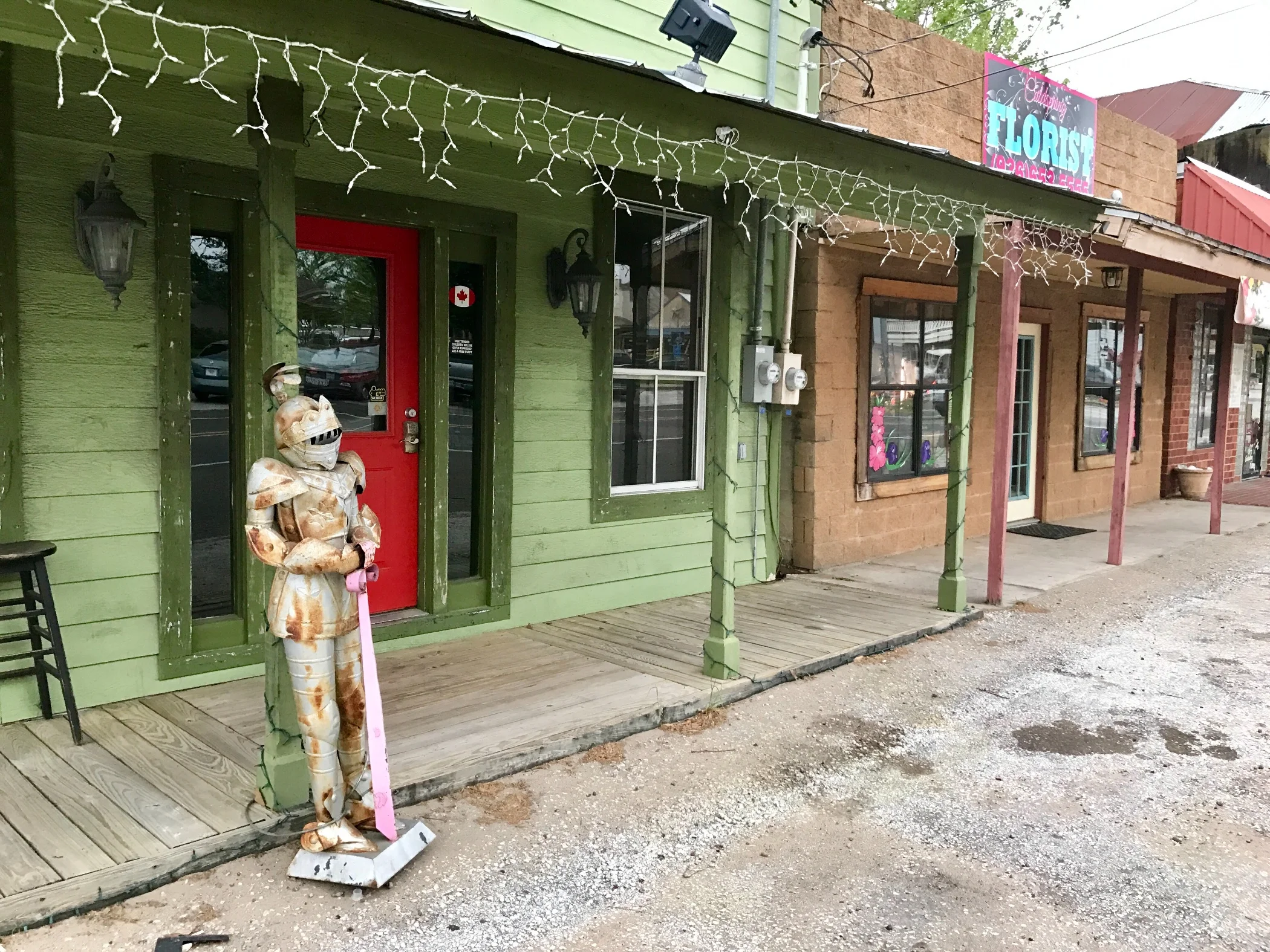
Pic 1, Downtown Cold Spring, TX.
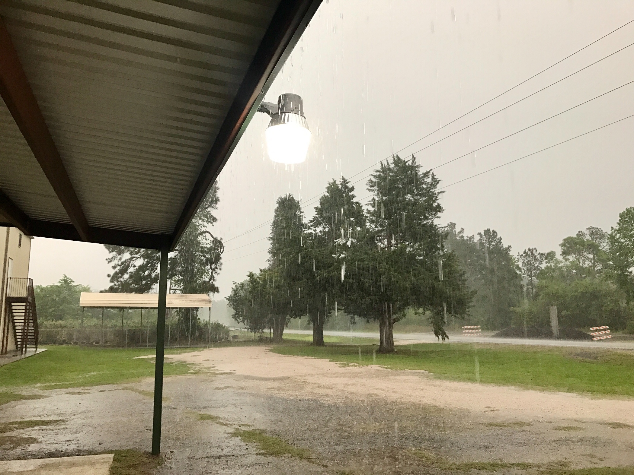
Pic 2, Waiting out the rain.
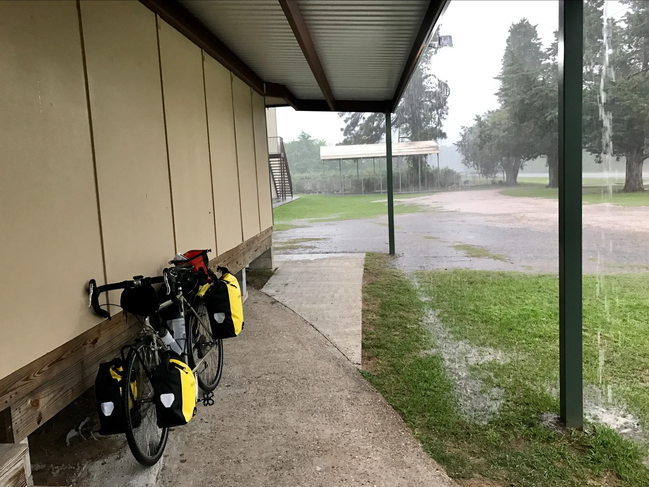
Pic 3, Waiting out the rain, version 2.
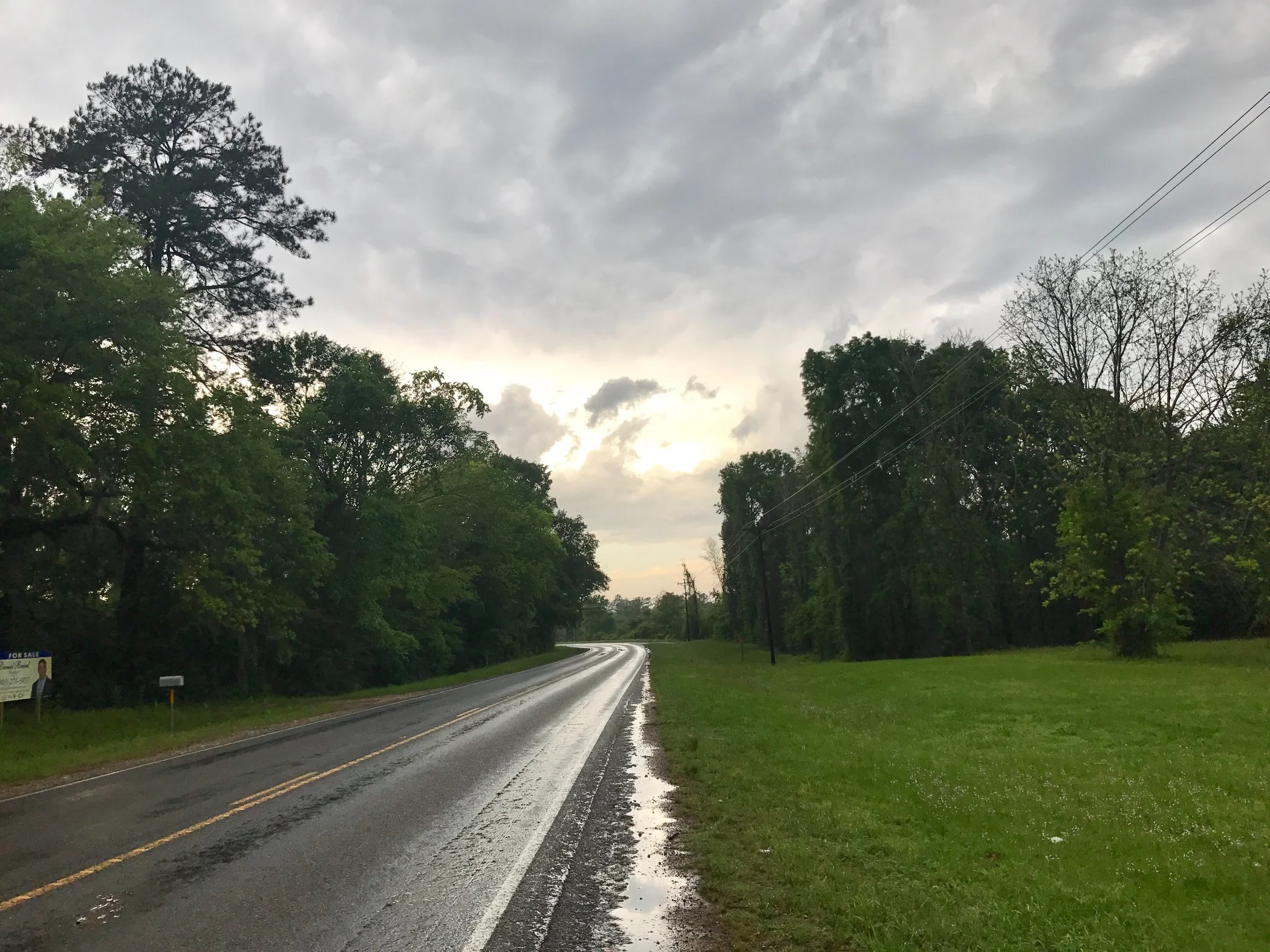
Pic 4, The rain breaks. Turned out it was only momentary.
More to come,
Michael
Southern Tier, Day 32
Day 34, Post 32: "The outdoors is what you must pass through in order to get from your apartment into a taxicab", said Fran Lebowitz.
Well, with all due respect to Fran Lebowitz - who deserves it - her comment gets at something I've been thinking about for a long time. Last summer, and again this spring, as I cross the country on a bike, I am acutely aware of the ubiquity, intensity, and sheer volume of traffic on our highways. In rural areas the favored vehicles are wide body trucks, with minivans second, while sedans are less common. Alongside the road and on rougher terrains, 4 wheelers are common. In sandy areas, there are the equivalent dune buggies. And there are a countless variety of RV's, from fully equipped luxury buses to large, expandable homes on 4 wheels with a fifth wheel for stationary parking (known in the west as 5 wheelers). Everyday, when I am passed by a luxury bus (often larger than the largest school bus), I wonder about their square footage (SF). In the 1950's the average home in the US for a family of four was about 950 SF, now it's about 2400 SF. I'm sure the luxury buses are larger than 950 SF. There are 7 billion people in the earth. What will happen if they all try to live in a 2400 SF home? I'm not sure, but I do wonder if we would still have enough farmland to grow crops....
I think the American tendency to supersize everything is a manifestation of how insane - and out of touch with our environment - we have become. When I was passing through Glammis, CA, and the sand dune country east of San Diego, I was struck by the massive number of dune buggies everywhere in sight. On the highway I passed numerous large luxury RV buses, towing wide body pickups with a dune buggies sitting in the bed of the trucks. Rig after rig after rig... and each rig sporting three vehicles - all of which require gas - and all of which require its owner to sit on his butt while driving it.
Most of us spend our day going from the conditioned space of our vehicles to the conditioned space of our workplaces. On a long bicycle ride this is very apparent. It is a very, very rare thing to see someone walking, even in towns. In fact, the only place one sees people walking in any density is in the downtown areas of large cities. But mid-sized or small towns? Forget it. No one walks anywhere. Ever.
So how much time does the average person spend outside now? I'd wager very little. Of course there are occupational exceptions, such as farming, construction, etc. But the majority of us? We spend very little time in outdoor environments. So, not only have we grown soft because we sit to get everywhere, we have also become isolated from our environments because we are actually very rarely fully in them. Instead we are in a hermetically sealed spaces hurling along to something we always think is important enough that we have to go as fast as the law will allow. It's a sickness, really. But not one that we have the slightest desire to change.
After a day of rest, I made my way to Cold Spring, biking through long stretches of the Sam Houston National Forest. Sensational! I have several more days to enjoy more rugged country - Big Thicket National Preserve is also on the way, among other treats... Yet, as much as I've enjoyed Texas, I'm looking forward to bayou country, and eager to get there. You see? Even I'm in a hurry... it's in our DNA...
Check out my road cycling activity on Garmin Connect.
https://connect.garmin.com/modern/activity/1645926949
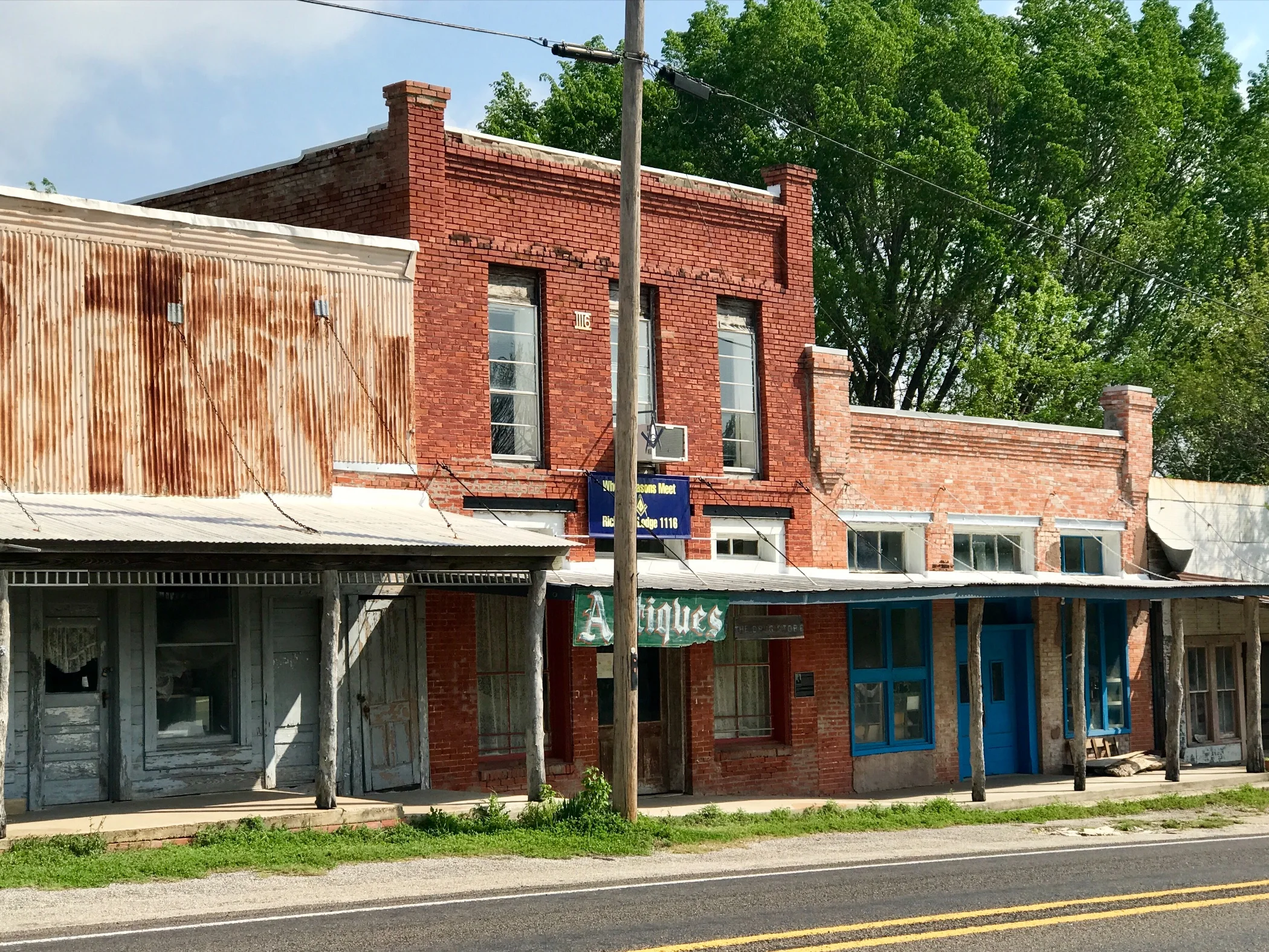
Pic 1, Downtown Richards, TX.
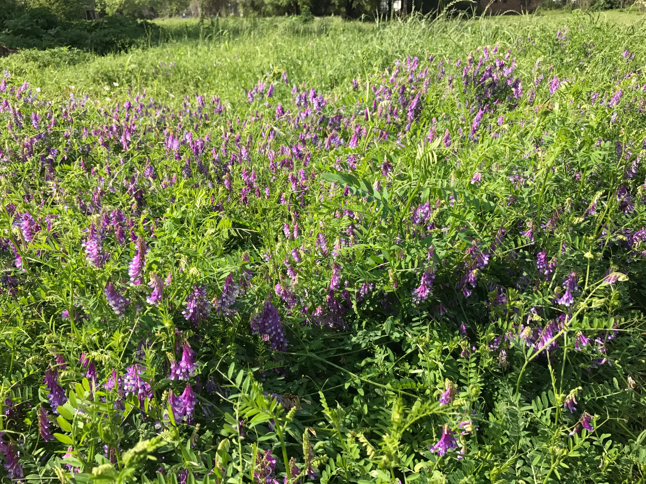
Pic 2, A field of Deer Pea Vetch (so I am told).
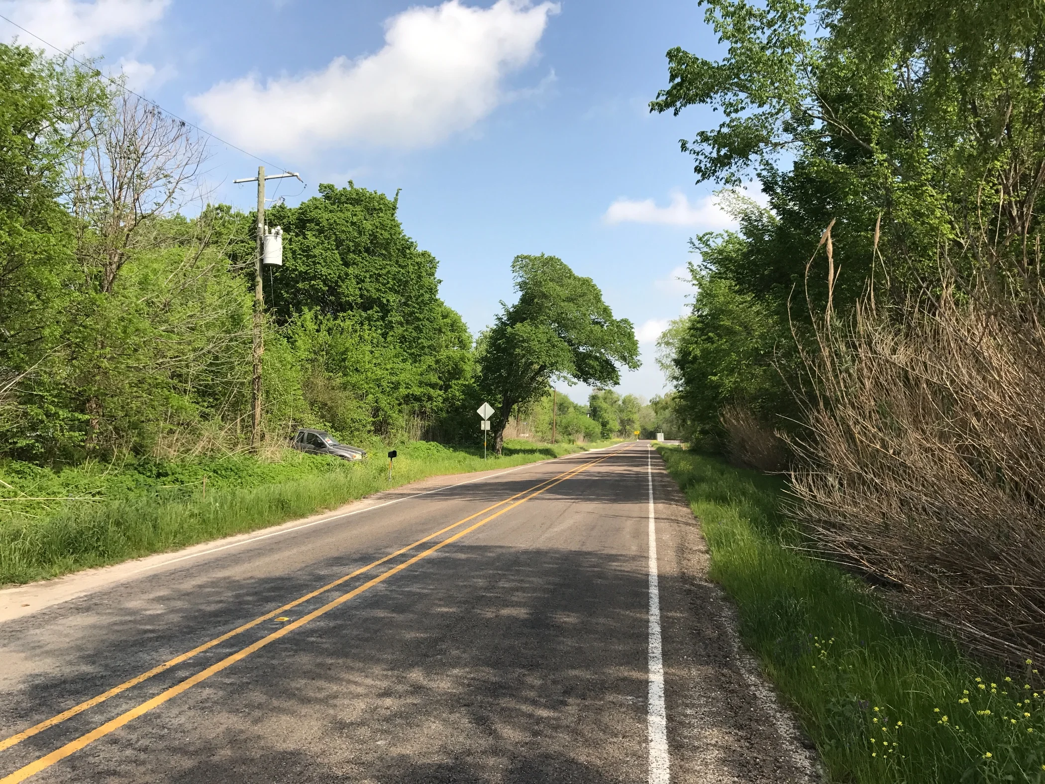
Pic 3, Just outside of Richards.
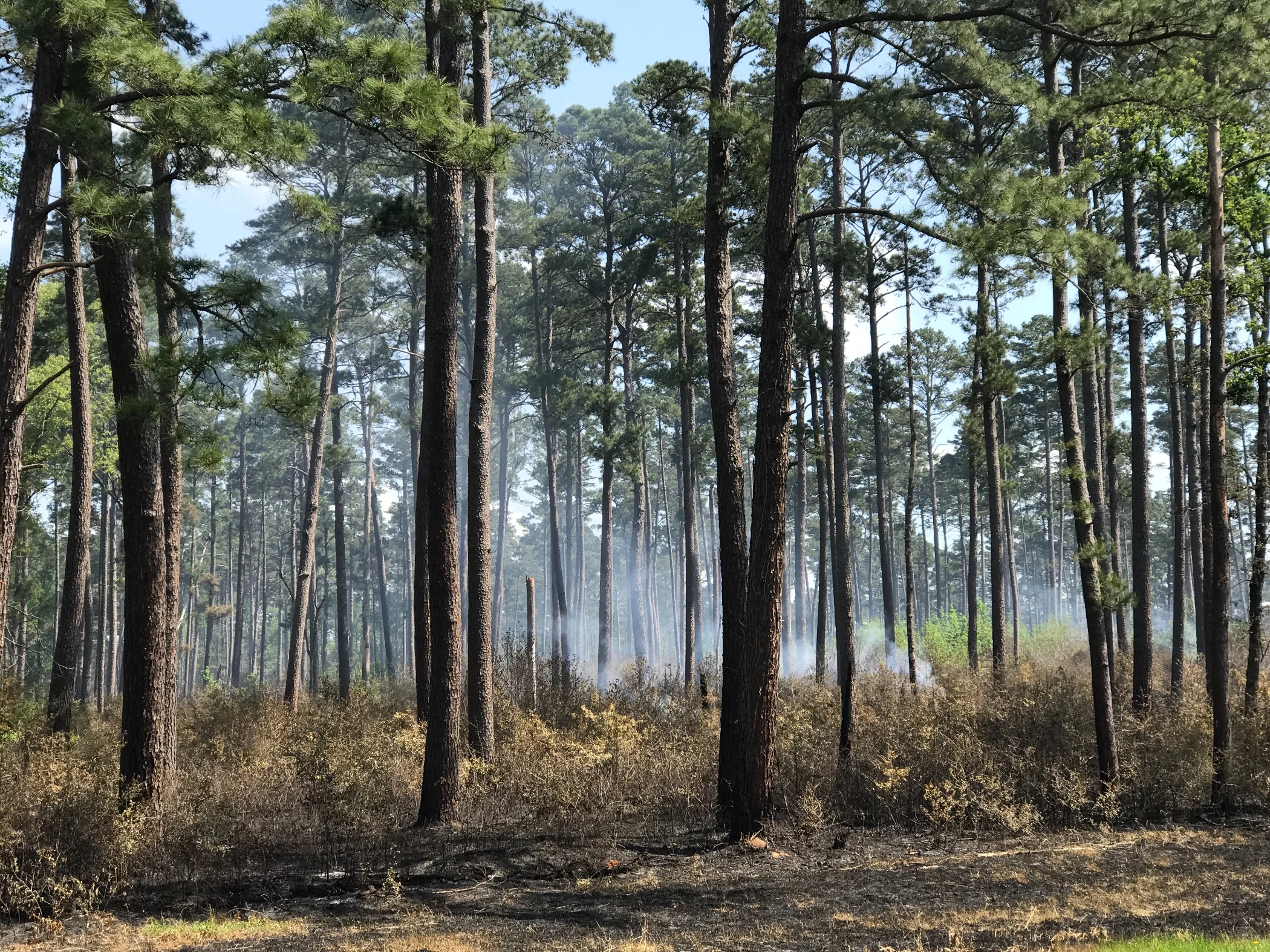
Pic 4, A controlled burn in Sam Houston National Forest.
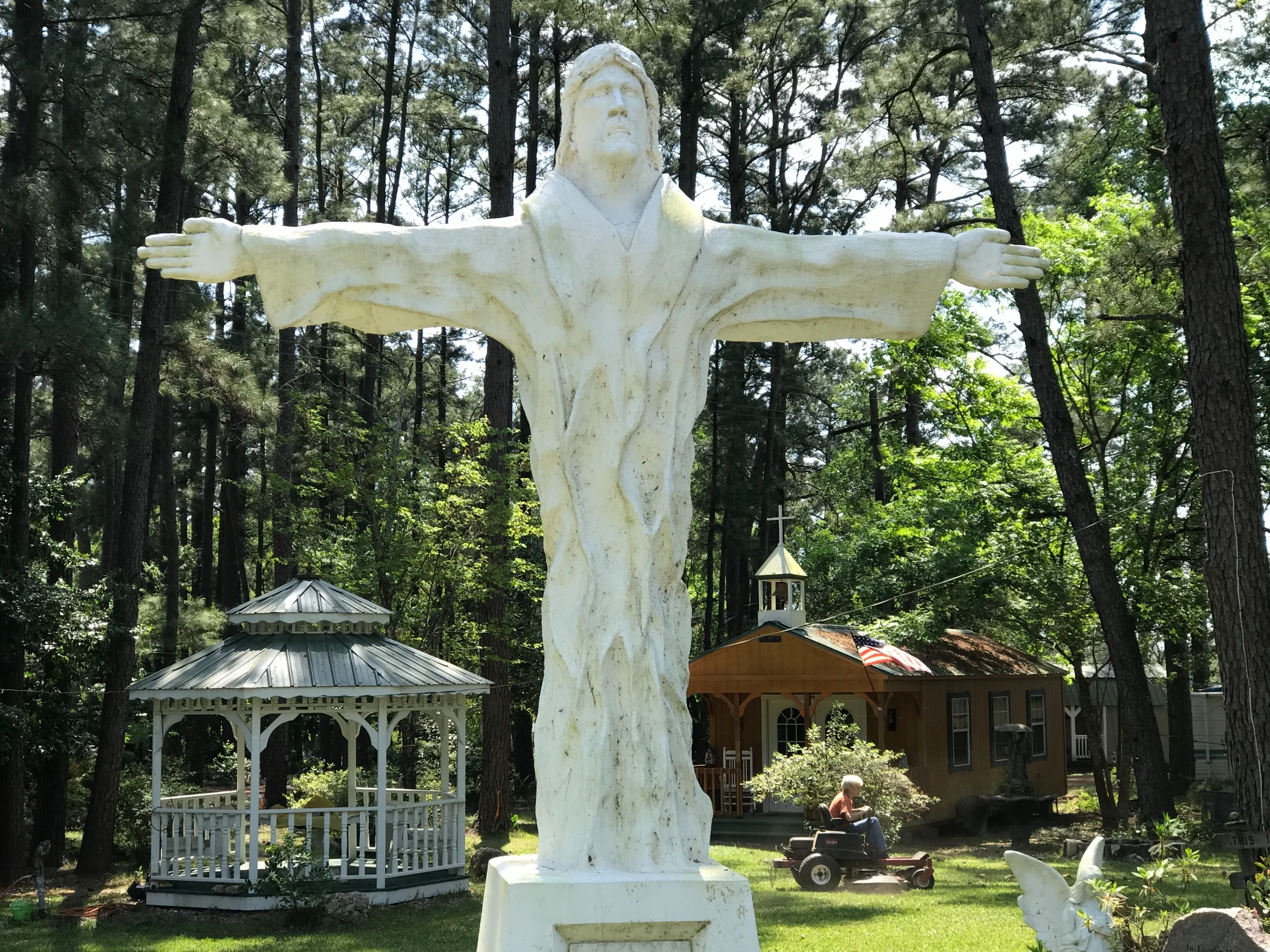
Pic 5, East Texas Christ.
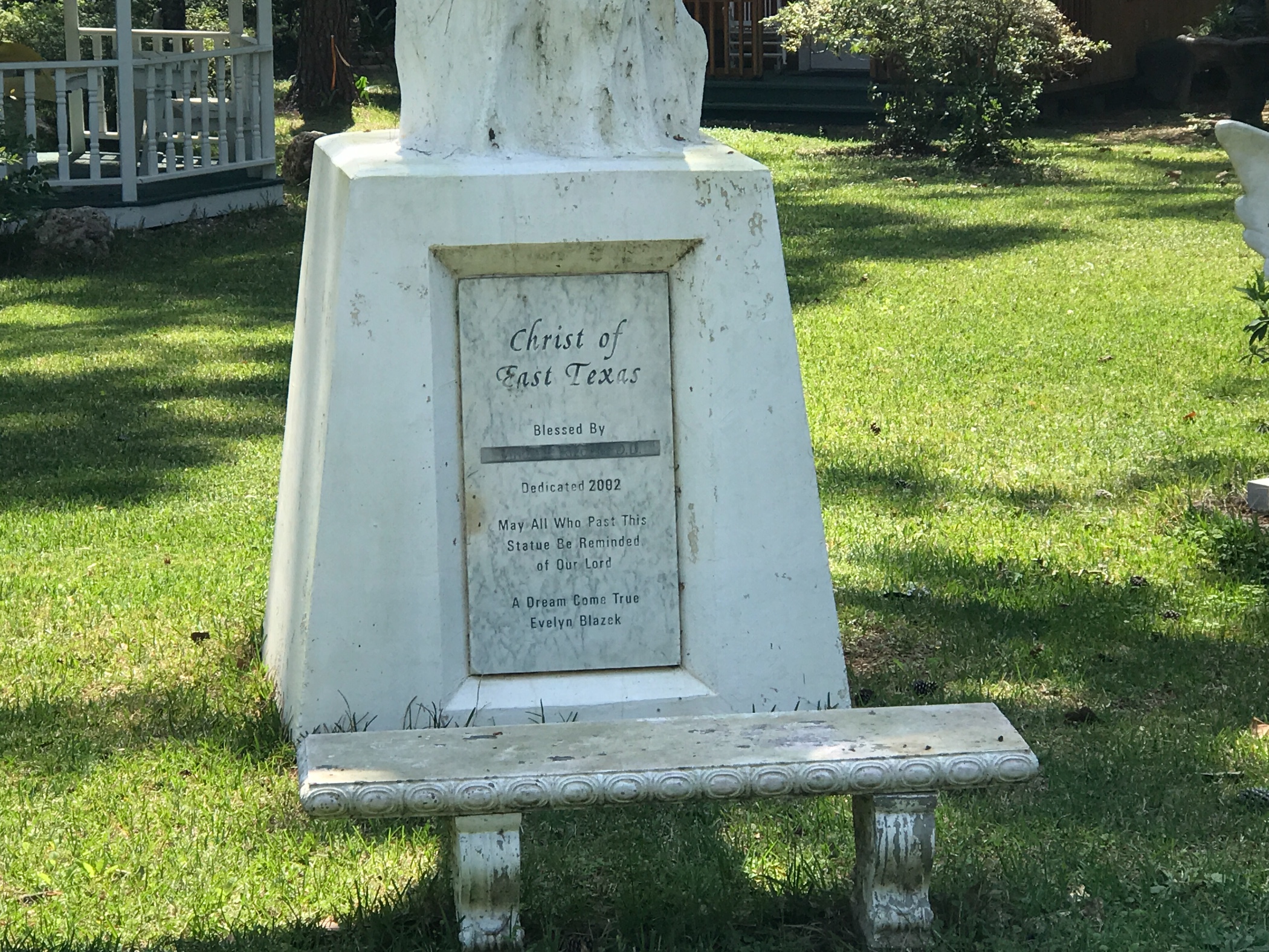
Pic 6, The small print reveals all.
More to come,
Michael
Southern Tier, Post 31
Day 33, Post 31:To be brief about it—proposed Henry James. A day of rest in Navasota, TX. I'm once again adding some new people to these Southern Tier posts. If you are reading this for the first time, please know this is one in a series of an ongoing posts about a cycling tour I am taking from San Diego to St Augustine, FL along the famed "Southern Tier" cycling route made popular by the Adventure Cycling Association. If you are you getting this message for the first time, please know you can always write me back and I'll happily take you off the email list if you don't want to receive these updates. You won't hurt my feelings, I promise! And, conversely if there are others you think might enjoy receiving these, please send me their email address and I will add them if they aren't already on the list.
Wikipedia tells me that, in 2005, the Texas Legislature named this city "The Blues Capital of Texas", in honor of the late Mance Lipscomb, a Navasota native and blues musician. He was known as a "Songster", a tradition that preceded and laid the groundwork for the blues. Apparently, Lipscomb knew more than 300 songs by memory.
I guess when I feel that a rest is truly earned I am good at making it an indulgence. It's mid-afternoon and I've only managed to walk 2 blocks in one direction for breakfast, and 3 blocks in the other for lunch. Later, I'll walk 2 blocks for dinner. Otherwise, I've been catching up on news (I like "enemy of the people" news outlets like NBC, CBS and CNN, and I'm certain it's all faked - but I'm a master at grasping alternative facts to create a reasonable reality entirely of my own making that you-know-who wouldn't like), reading and listening to music.
Tomorrow I plan on biking to Shepard, almost 80 miles to the east. The next stop after that is Sillabee, TX, where - if time allows - (I have 8 days to get to New Orleans) I will have the option to take a side trip to Port Arthur, close to the Gulf Coast. Either way, I think I'll have a chance to get a bit of a feel for bayou country. Then, on to New Orleans -- and a few days with my friend Carolyn. Mmmm, coffee with chicory, and so many other pleasures...
I heard from my cycling friend Phil about how he'd recovered from his pannier disappearance... He texted me last night from Shepard with the following message: "I got completely fitted out at the Brenham , Texas Walmart. I made a pannier out of a 24 can beer cooler and some zipties. Got a very basic bike kit... Tubes, wrenches, pump. And you should see me in my new leisure outfit. I got a snap button polyester cowboy short, some mostly polyester Lee's cowboy pants. Yee Ha! Most memorable line from last night's stay at Checkpoint Harley..." well we didn't kill no pigs last night but it wouldn't be no fun if you killed a pig every night, would it?"" ....No wonder I enjoyed traveling with him and his equally mirthful friend John. Godspeed, gentlemen!
More to come,
Michael
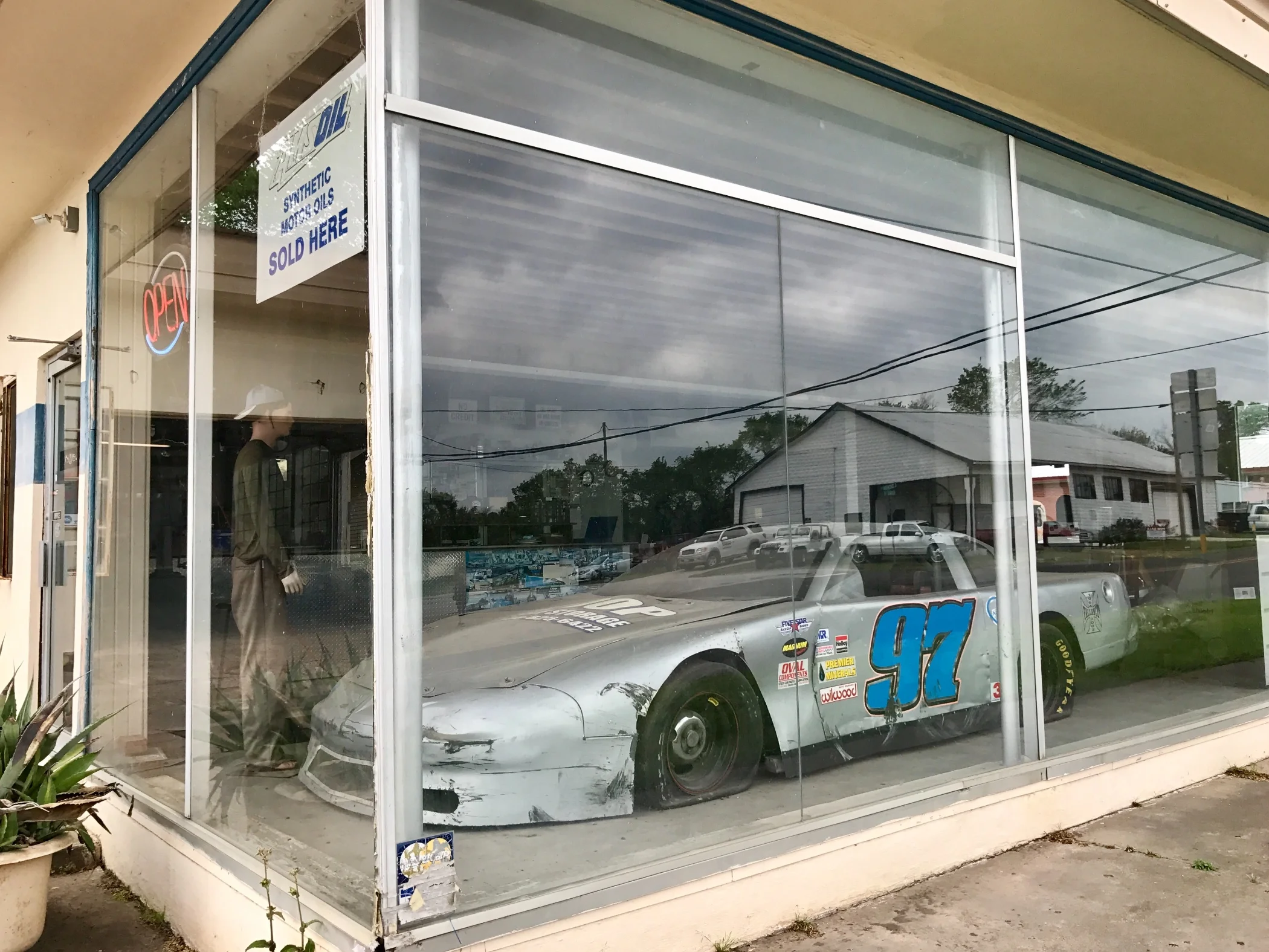
Pic 1, A shuttered business in Navasota, something seen in small town American everywhere.
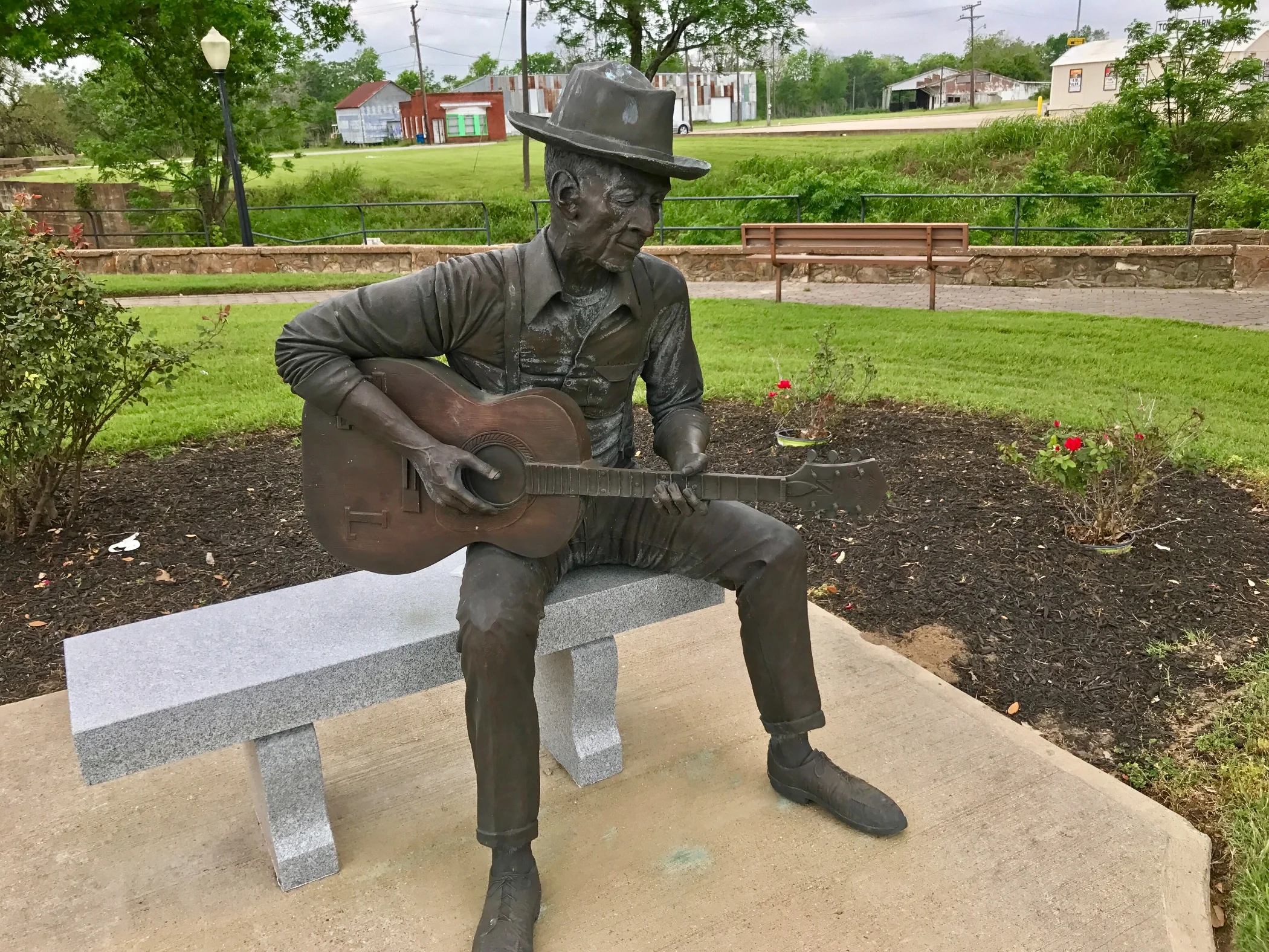
Pic2, Sculpture of Mance Lipscomb.
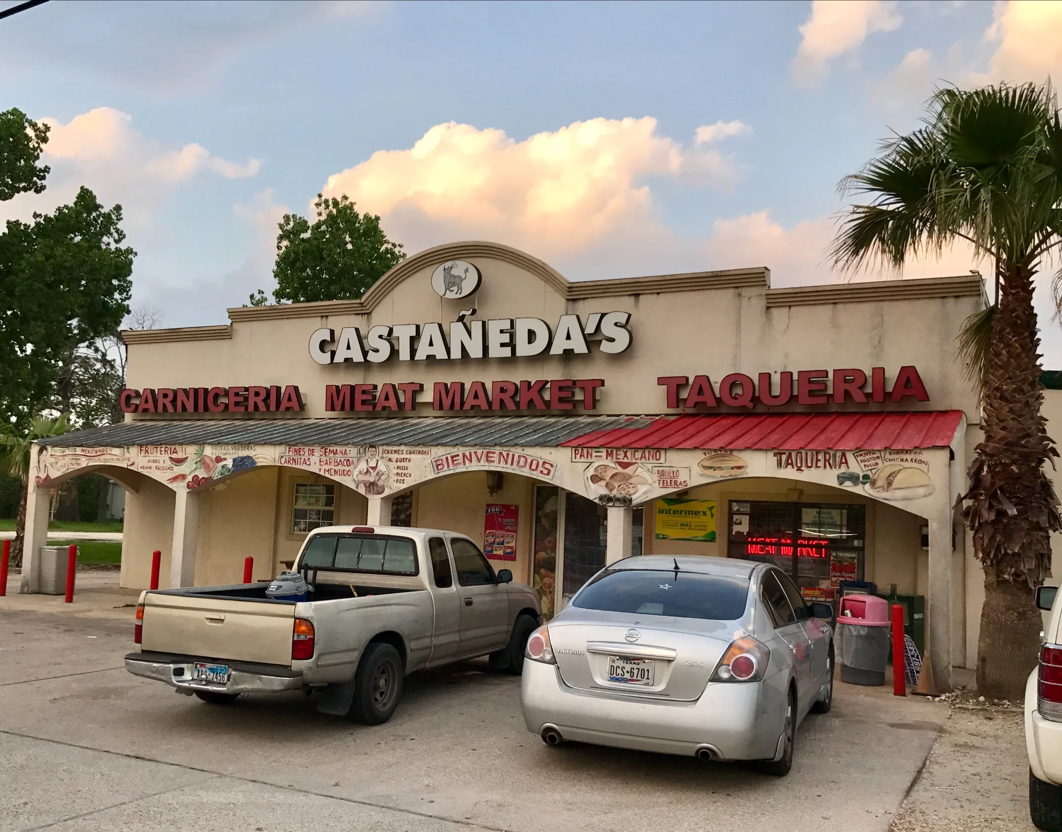
Pic 3, One of the thriving businesses in town.
Southern Tier, Post 30
Day 32, Post 30: In an earlier post I mistakenly referred to Drifter Jack's in Austin as Diamond Jack's. I apologize for the error. And I'll add that if you like hostels you'll love the place if you are ever in Austin.
I left LaGrange, TX this morning after a great omelette and a short stack of pancakes. I rarely eat pancakes at home, but boy, do I enjoy them facing a day of riding! I have to say I'm finding some great restaurants in small town Texas - food seems to be a serious business all over Texas. And I have gained a new respect for Tex-Mex. It's so much more than one is exposed to up north. Forexample, last night I had some grilled catfish tacos that were excellent. I'm entering Cajun country now, so I have an entire new local gastronomy to experience...
After about 20 miles of cycling I was about ten miles out of Round Top. I didn't know what I was going to be cycling past, so I was surprised to fine myself in antique country in the first day of an antique festival. Round Top, a town of 90 permanent residents, seems to be the epicenter of what is one of the great antique, chatzke and crap acquisition capitals of the world. The traffic was intense and the road shoulder was terrible so I wasn't comfortable stopping. The opportunity to sell antiquities is so tempting that every ranch for a good ten miles after Round Top had a barn devoted to selling antiques, perhaps in the hopes that tourists would stop there thinking they had arrived in Round Top. But once you get there, Round Top is unmistakable - miles of tents, barns, and storage units devoted to selling anything and everything you could ever want to make your home as charming and cute as ever. You can even buy Texaco Gas Station signs to install in your yard. Or perhaps on that amazing cathedral ceiling you always longed for. You can also get full size sculptures of wooden buffalos, bulls, horses and mastodons...
Check out my road cycling activity on Garmin Connect.
https://connect.garmin.com/modern/activity/1642366853
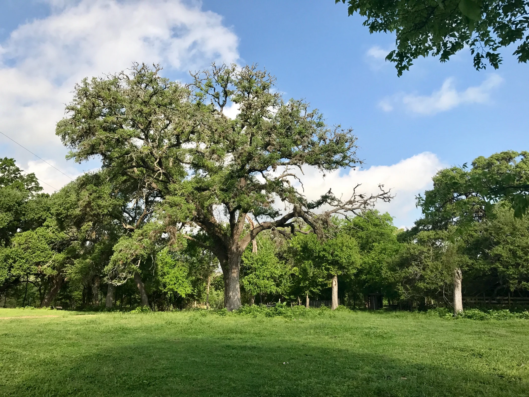
Pic 1, An attractive and iconic Texan oak tree.
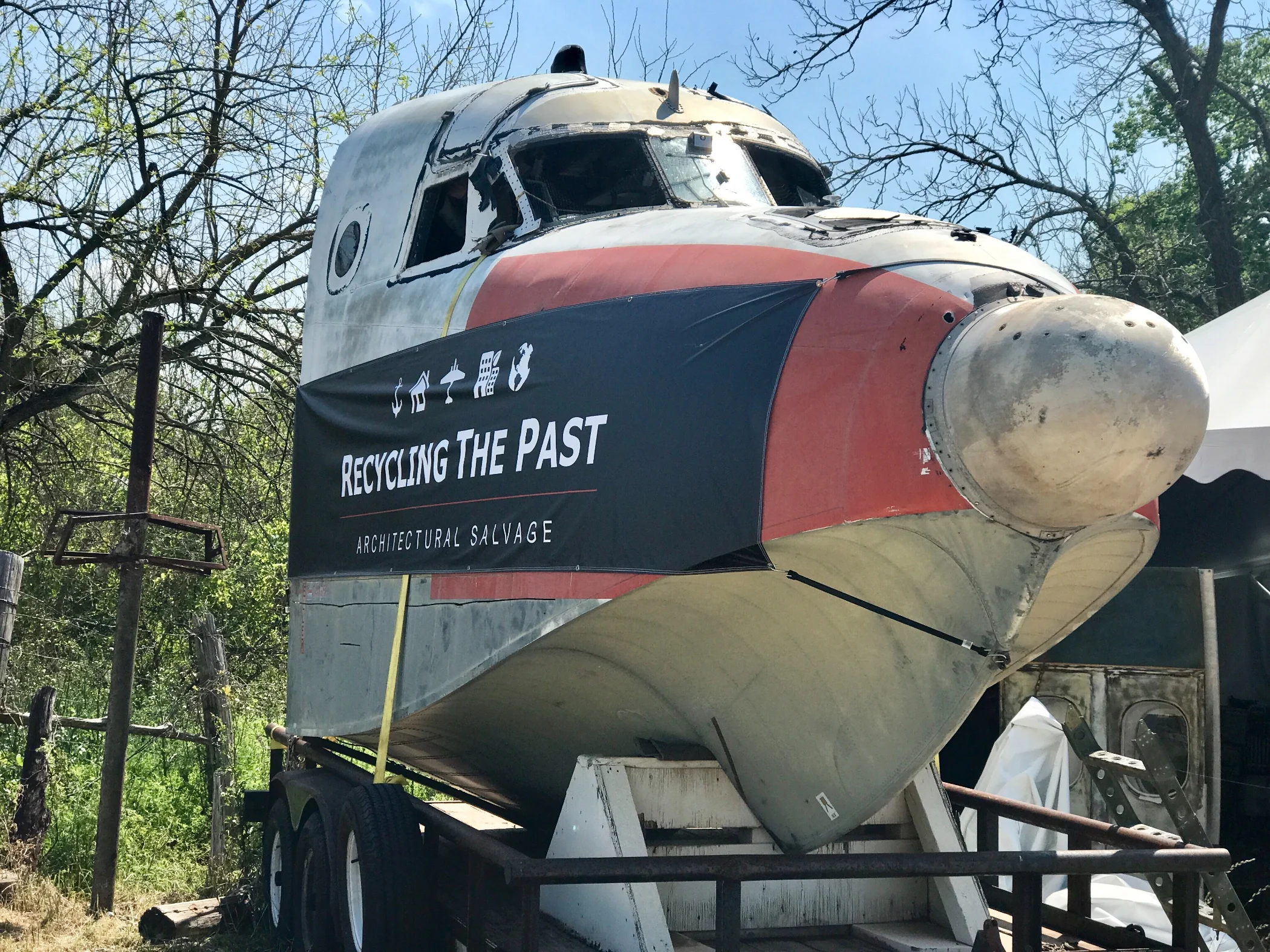
Pic 2, Doesn't everyone need one of these?
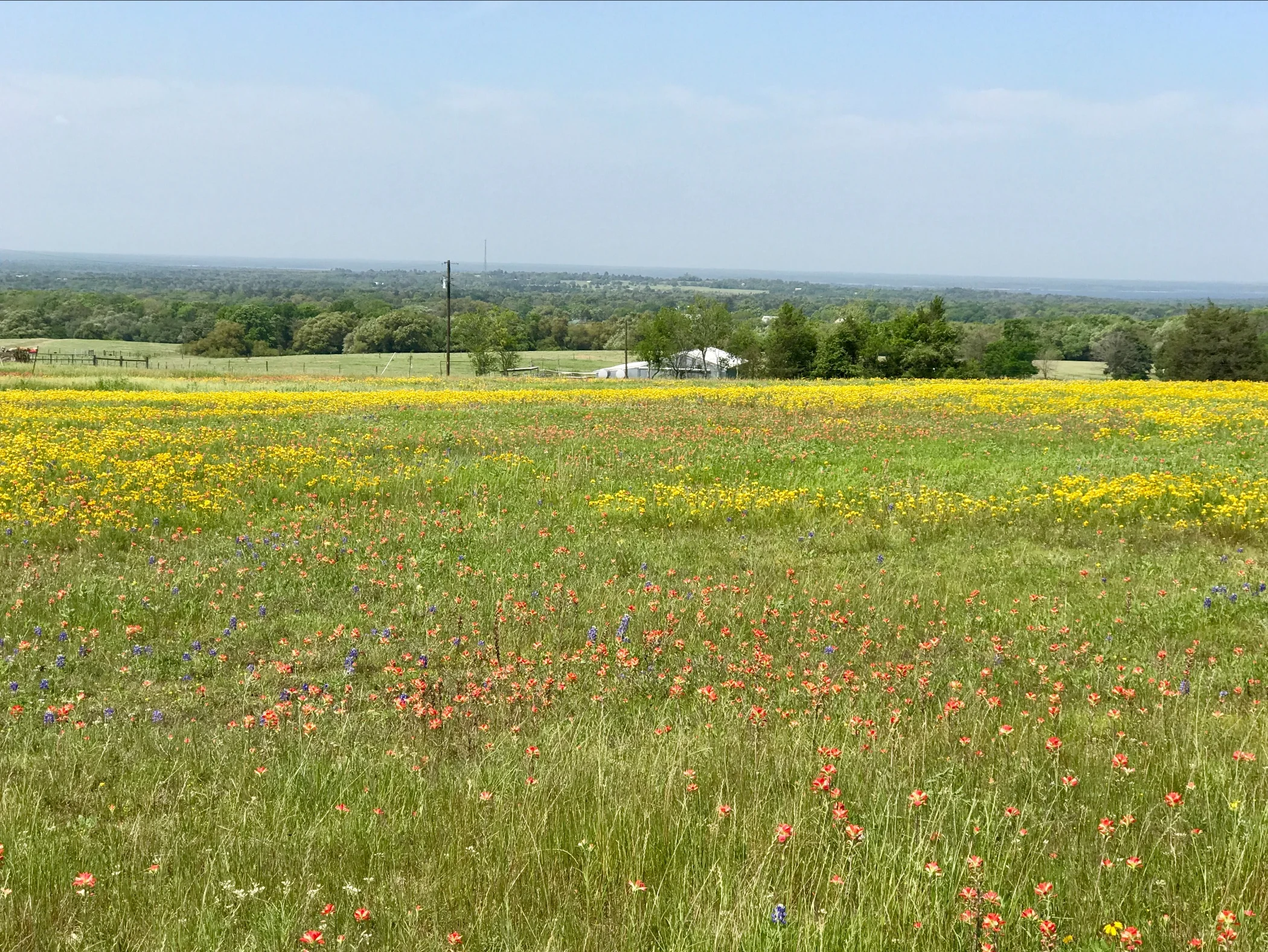
Pic 3, Field of Goldeneye and Texas Paintbrush.
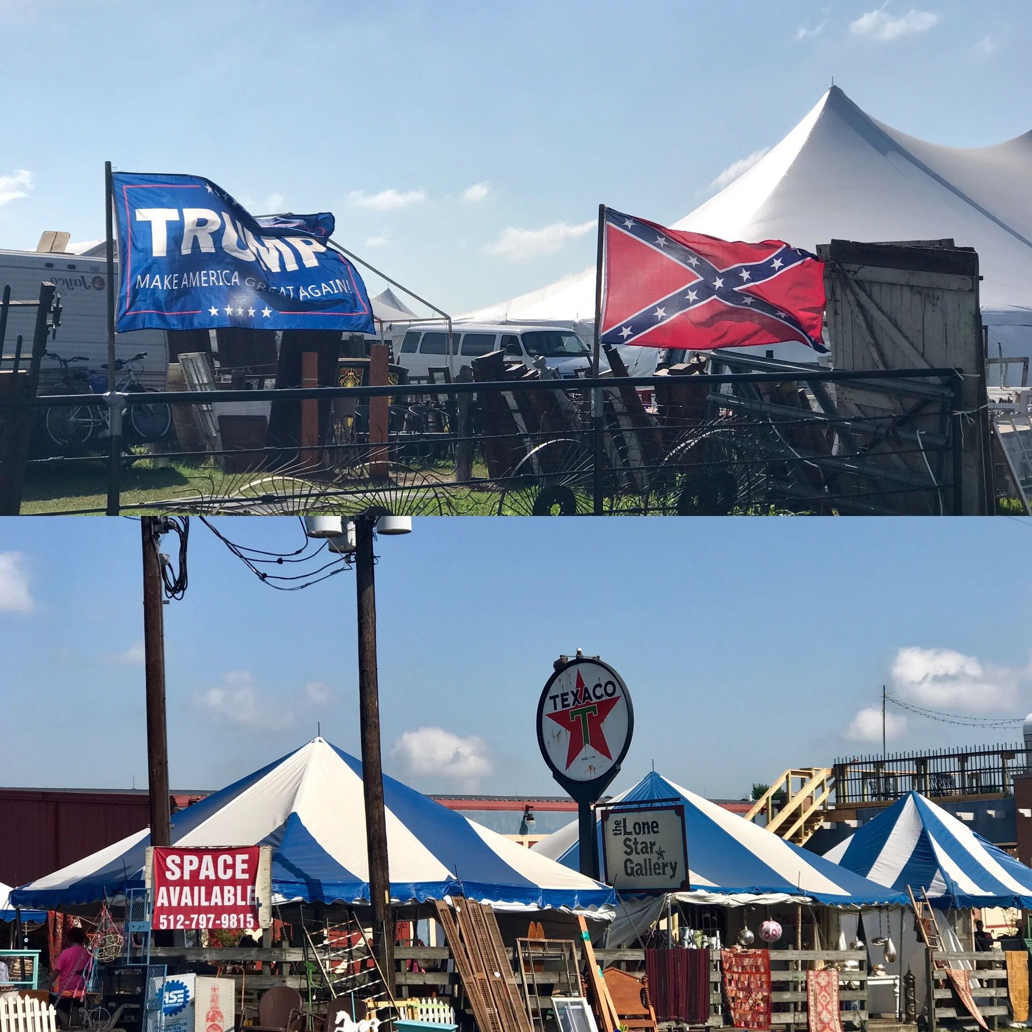
Pic 4, What you see is what you get.
More to come,
Michael
Southern Tier, Post 29
Day 31, Post 29: Today started with a great ride through two parks on little traveled and lovely roads - Bastrop and Buescher State Parks. Really beautiful ride! I had been warned I would see forest scarred by a forest fire from four or five years back. I remember reading about an extreme drought in Texas a few years back. I learned yesterday this fire occurred toward the end of that drought. Since it broke, the rain has been record breaking in its intensity. This pattern of vacillating weather extremes conforms to what climate scientists tell us will happen - as the earth warms, weather of all kinds will become more extreme.
At least some of the locals here are thinking similarly. Yesterday the owners of the KOA (where I stayed) mentioned that very phenomenon in a conversation when I told them where I would be biking today. Imagine how climate change will affect business for campground owners in the future - it will become more and more like running a ski resort has been in the last decade. Maybe there will be snow, maybe there won't. For campground owners, maybe there will be extreme heat, maybe there won't. Maybe there will be extreme rain, maybe there won't. One thing is certain - our capacity to predict over time is going to become increasingly more difficult. And what will happen when the equation becomes, maybe we can grow food, and maybe we cannot?
In the meantime, central Texas is very beautiful indeed right now. In a general way, the landscape reminds me of the more verdant parts of the Midwest, such as northern Missouri or southern Wisconsin- but in July, not March. I cannot believe the intensity of the plant life at this time of year... or insects, for that matter. I watched a wasp crawl into a nest about six inches from where I had parked my front tire, and then noticed a beautiful butterfly perch on my bike seat for a few seconds.
I am fine, currently well-fed and content. I heard recently from fellow cyclists Phil and John, who are a day ahead of me. Phil had a pannier stolen - with his clothes, bike tools meds, and contact lenses in them. What a shame! Stories like that make me more vigilant. However, I haven't yet felt personally threatened, which I think speaks well of Texas in general. I would have guessed otherwise prior to coming. Just the idea of being in a "conceal and open carry" state made me nervous. (Frankly I am appalled that there are more handguns in the US than there are people.) Yet, most of the people I have met in Texas are friendly, courteous and genuinely caring. Fingers crossed I continue to have such good fortune.
Check out my road cycling activity on Garmin Connect.
https://connect.garmin.com/modern/activity/1639993891
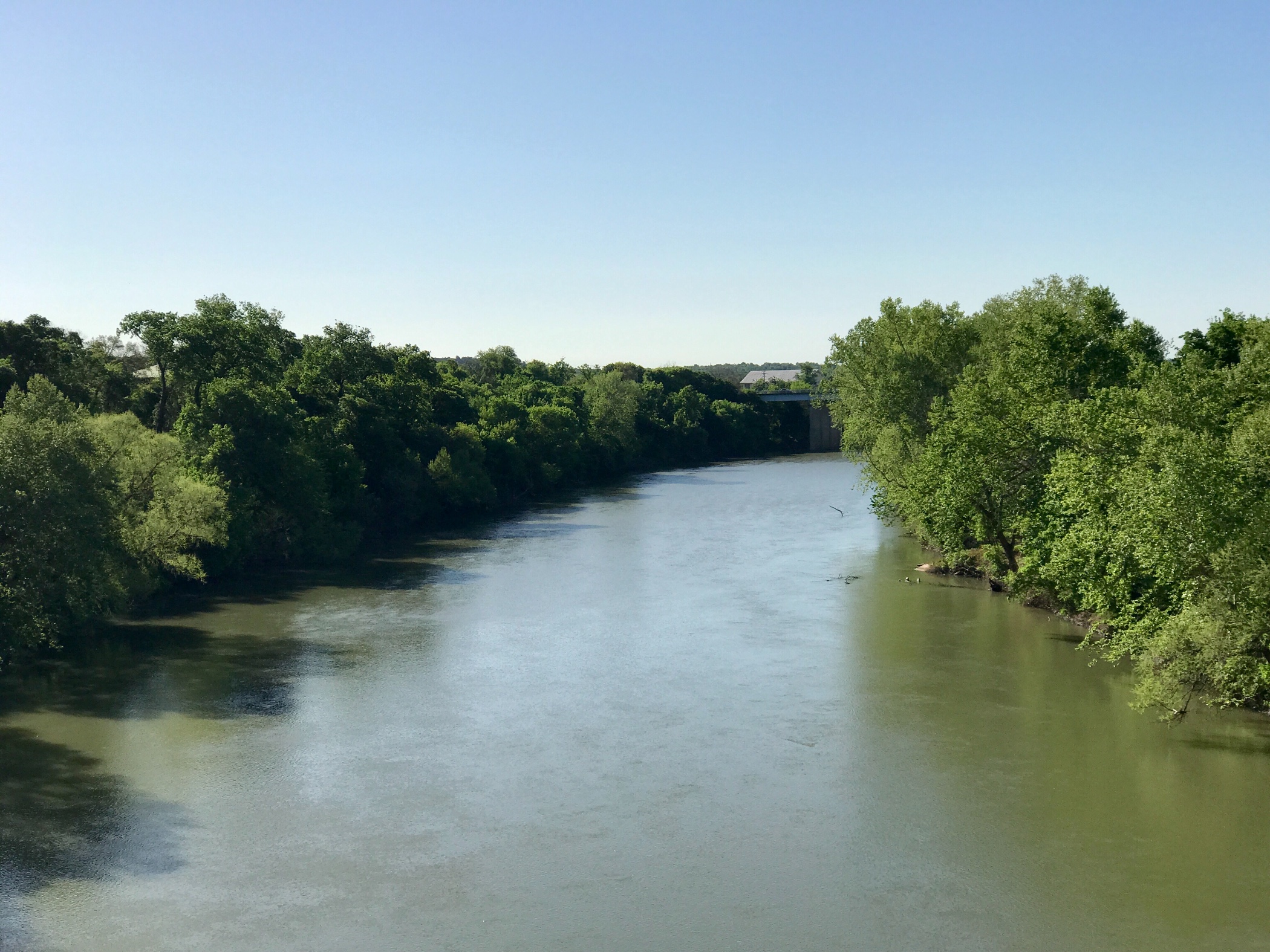
Pic 1, The Colorado River in central Texas
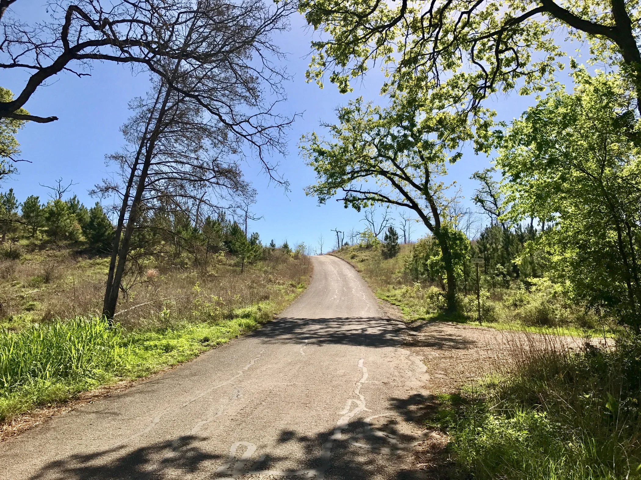
Pic 2, Buescher State Park
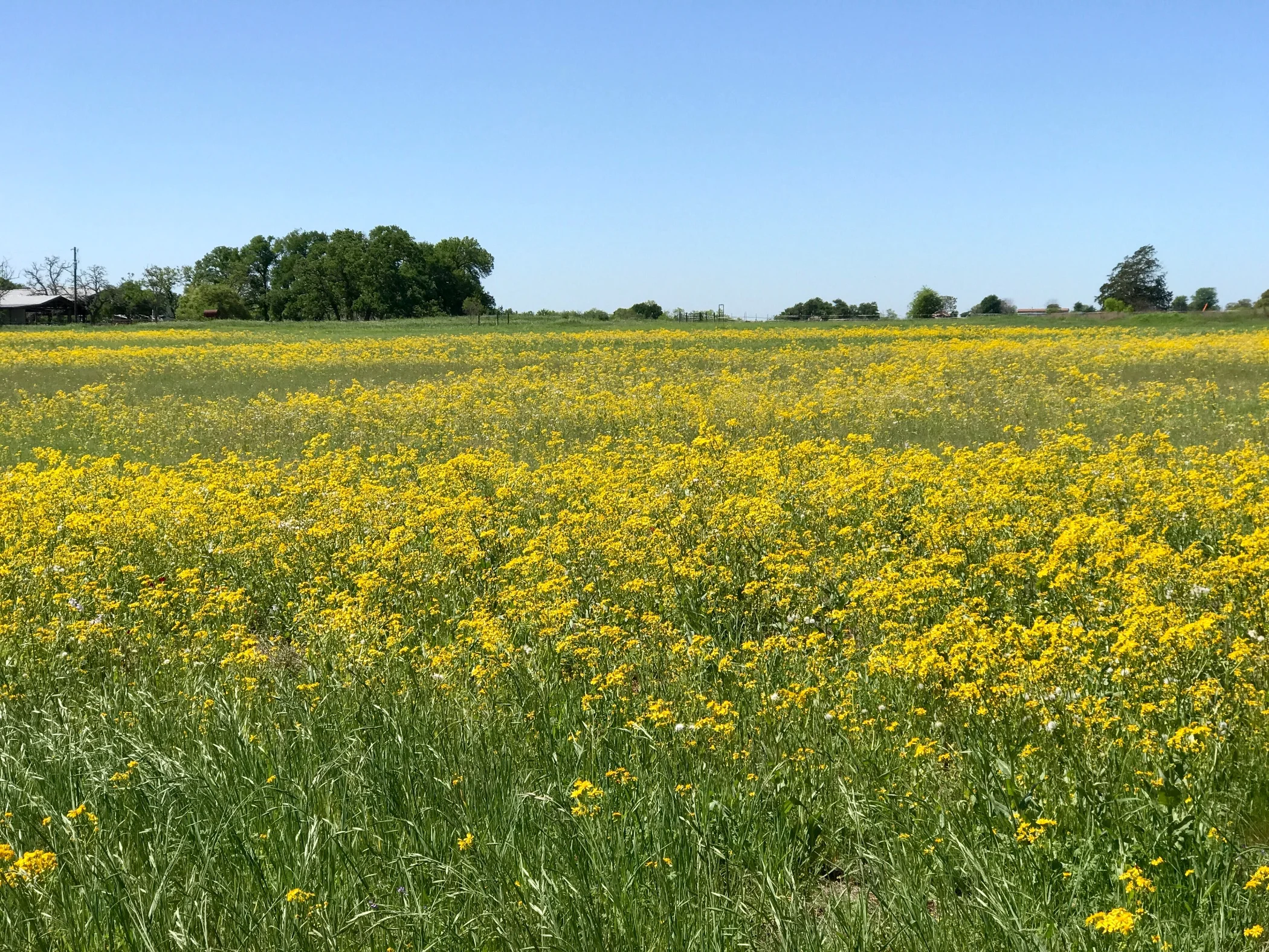
Pic 3, An entire field of Goldeneye.
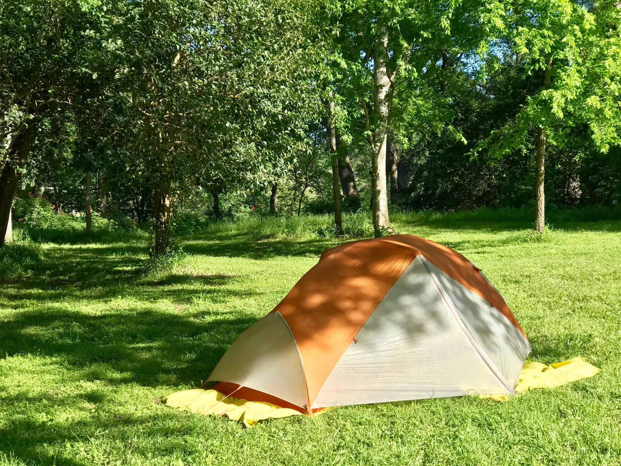
Pic 4, My campsite for the night.
More to come,
Michael
Southern Tier, Post 28
Day 30, Post 28: I'm once again adding some new people to these Southern Tier posts. If you are reading this for the first time, please know this is one in a series of an ongoing posts about a cycling tour I am taking from San Diego to St Augustine, FL along the famed "Southern Tier" cycling route made popular by the Adventure Cycling Association. If you are you getting this message for the first time, please know you can always write me back and I'll happily take you off the email list if you don't want to receive these updates. You won't hurt my feelings, I promise! And, conversely if there are others you think might enjoy receiving these, please send me their email address and I will add them if they aren't already on the list.
I noticed an article today from the Guardian that was pretty sobering. Some of it went like this: "Arctic warmth set to continue. The unprecedented heat that the Arctic experienced in 2016 is expected to continue this year as the world heads into “truly uncharted territory,” the World Meteorological Organization warned this week". It went on : "This past year’s warming was aided in part by the natural climate cycle known as El Niño. While El Niño is now waning, 2017 still looks like it will continue along a trajectory of shrinking sea ice and rising sea levels, due to the greenhouse gases driving climate change".
I've been wondering what will happen to the amazing countryside I've been biking through (in March the temperature gets into the 80's). So I did a little research. I found a study published in 2016 by the mildly evocatively named Risky Business, a venture led by, among others, former New York mayor and billionaire Michael Bloomberg and former Secretary of the Treasury Hank Paulson. The study itself — "Come Heat or High Water: Climate Risk in the Southeast U.S. and Texas" — operates within the bounds of accepted scientific consensus. The authors assume that climatology is an accurate science and don't question the reality of climate change. Instead, the economic and direct risks of things continuing just as they are is reviewed. For Texas, the news is grim: "While climate change likely will increase both summer and winter average temperatures, the impact in Texas will be most evident in the number of days of extreme heat each year. During the past 30 years, the typical Texan has experienced an average of 43 days per year of temperatures above 95°F. But by mid-century, that number is likely to reach up to 80 such days, and to reach up to 106 days per year by 2040-2059 — more extreme heat than any state besides Arizona experiences today."
This suggests to me that if you want to visit the Texan southwest, do it reasonably soon - because in a few decades it will be too dangerously hot for months at a time. I thought this same thing last summer as I biked through southern Utah and my bike computer registered 117 degrees. It's only a matter of decades before large portions of the American southwest will be a public health hazard to visit at certain times.
I'm staying in a KOA tonight in Bastrop, TX, about 30 miles SE of Austin. The owners spontaneously gave me a special rate on a cute cabin because I am biking the Southern Tier. I was delighted, of course. My biking day was short because as I was packing up this morning I snapped a stay on my back panniers. (I slept very well at Diamond Jack's by the way - all my bunk mates were very courteous). When the pannier failed, I headed over to the Austin REI and replaced yet another pair. It was an expensive fix, and took a few extra hours of my time, but rain was forecast and I wanted functionally waterproof panniers... besides, I wasn't going to get another chance to fix that problem until New Orleans. So now, both my front and back panniers are shiny new. That won't last long, of course. I already scuffed up the front pair on a barbed wire fence. Well, what the hell....
Check out my road cycling activity on Garmin Connect.
https://connect.garmin.com/modern/activity/1638005222
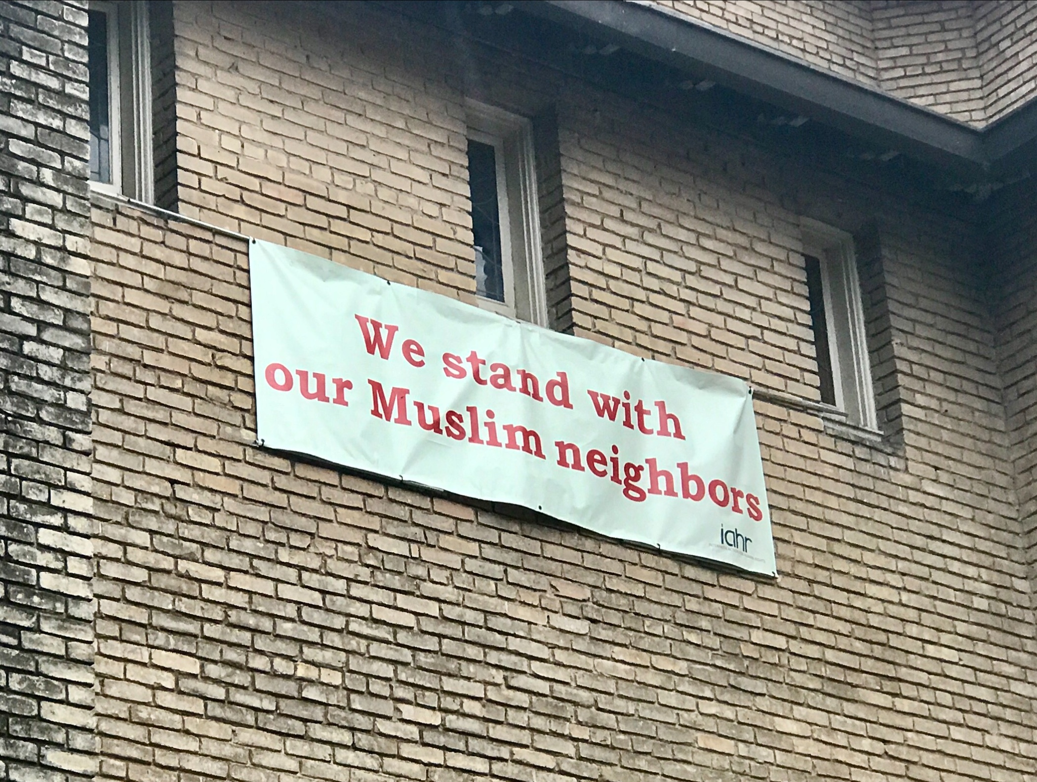
Pic 1, This banner was on a Baptist church in Austin.
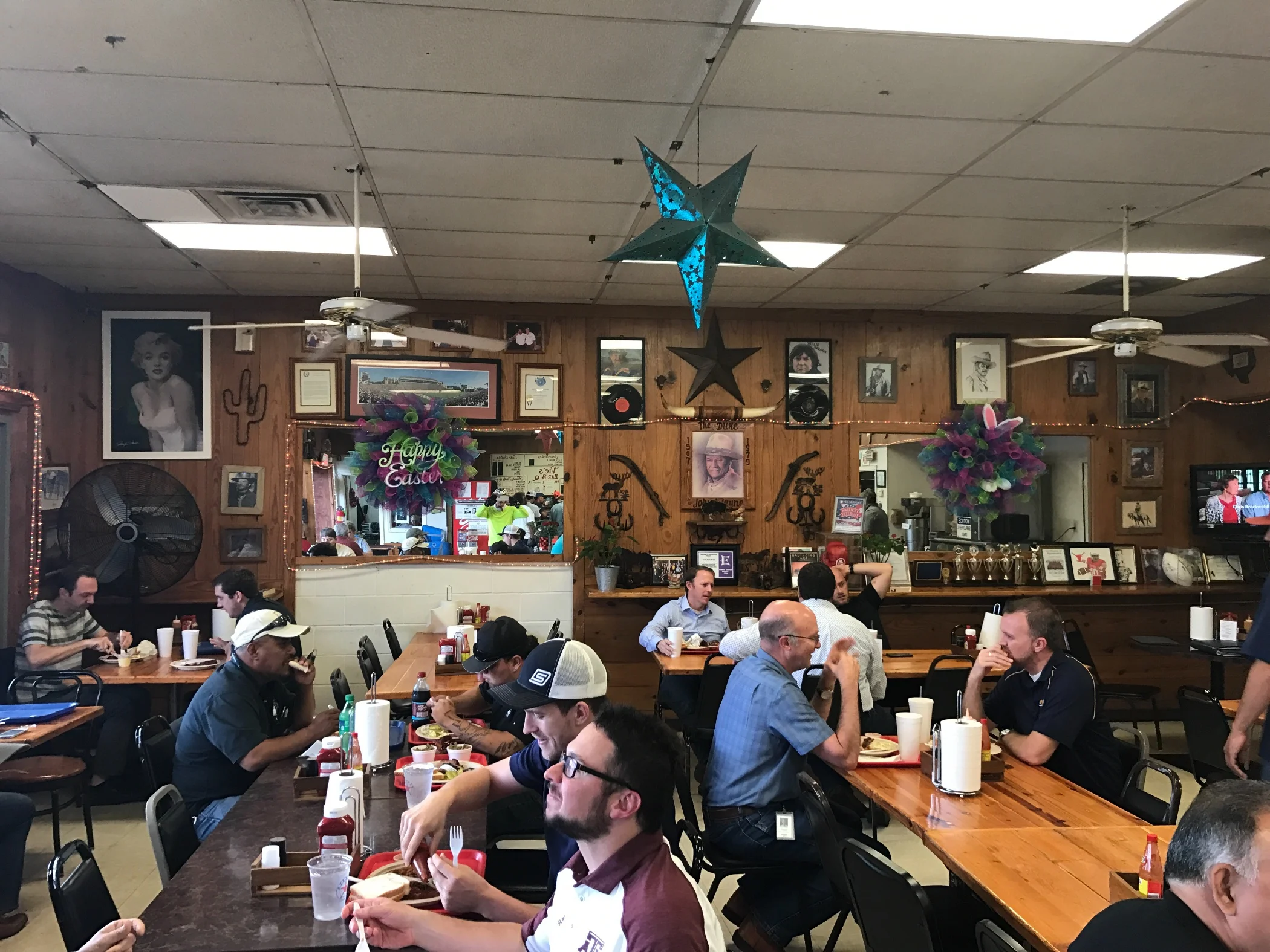
Pic 2, interior of Vic's BBQ. Amazing food, the real deal!
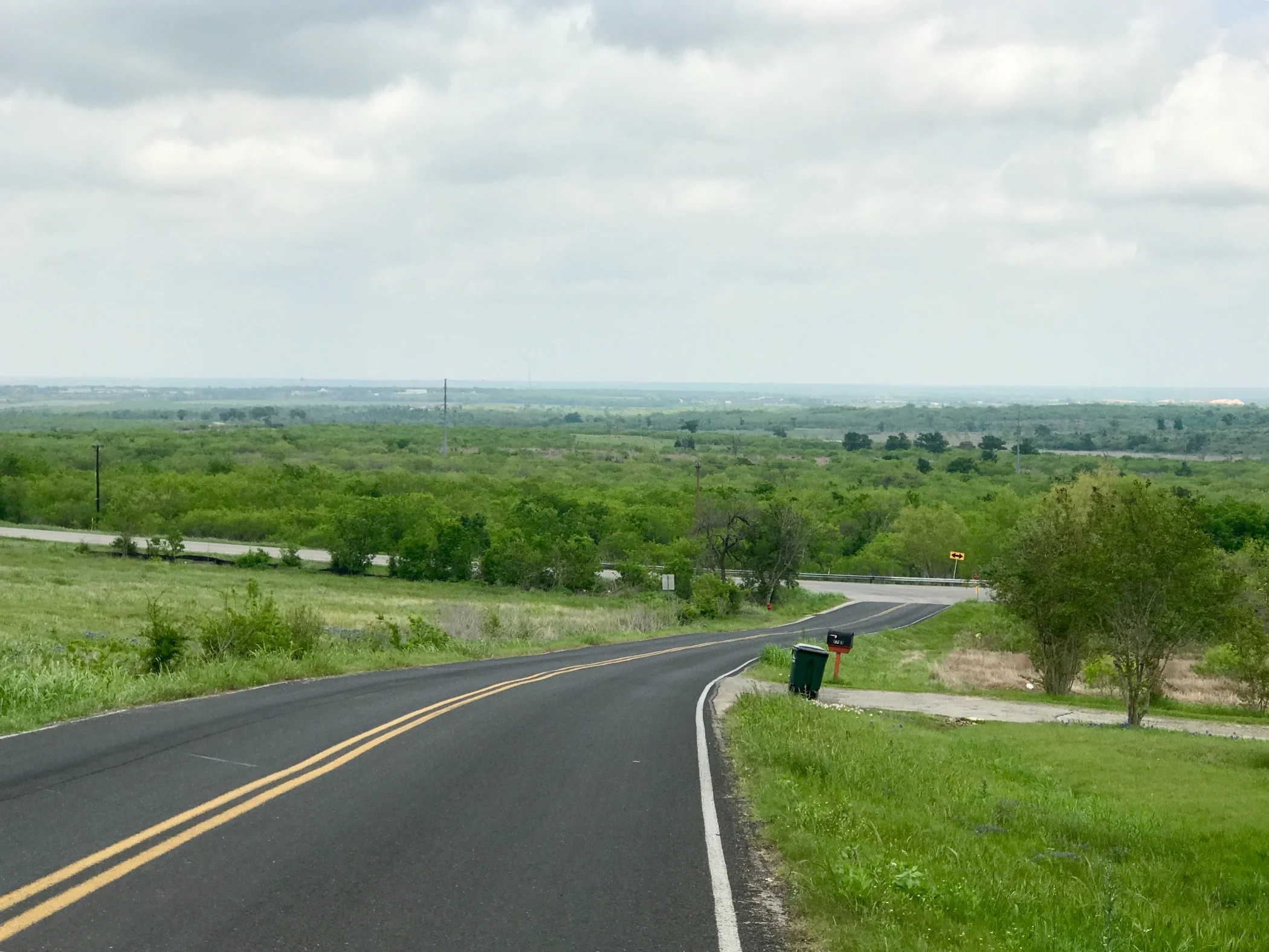
Pic 3, Landscape shot east of Austin looking east. Austin seems like the divide between the west and the east. It's flat and humid on the east side, hilly and dry on the west.
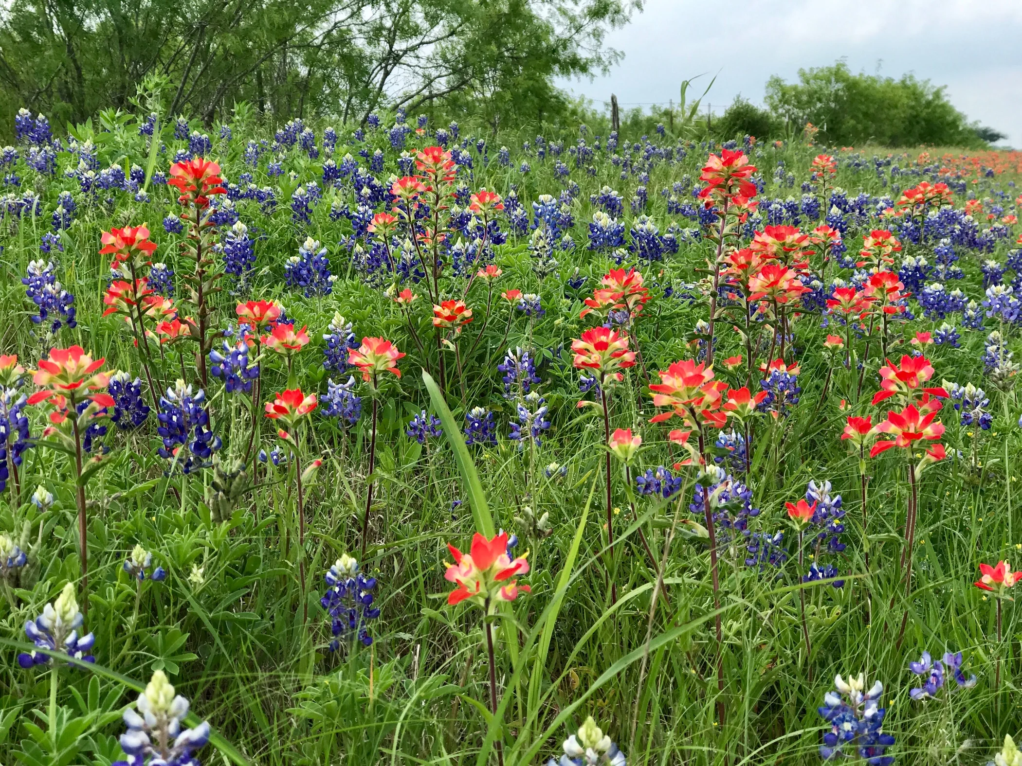
Pic 4, Texas roadside in bloom.
More to come,
Michael
Southern Tier, Post 27
Day 29, Post 27: Drifter Jack's Hostel in Austin, TX, is worth looking up if you have the opportunity. I got here an hour ago and I'm quite enjoying the ambiance. So far, I've met an articulate guy from Boston who is trying to find an apartment in Austin and is currently going from hostel to hostel because he snores so loudly, and a Rhodesian who just came to the US from Australia where he was working before he decided to travel by car around the US for a year. ...One meets a lot of itinerant people when one is itinerant. Go figure.
Austin seems to deserve its reputation as a warm, welcoming and very groovy place. After about a 40 mile ride in from Johnson City, I went to REI for a new tire and front panniers as planned, and learned that my chain rings (the 3 rings that make up the crank where the pedals are) are so worn that replacing my chain and/or cassette would be a bad idea without replacing all of them. This is a problem because chain rings are not the kind of thing most bike shops have in stock. So here's the plan - I'll call ahead to a bike shop in New Orleans and see if they will order the parts for me so they can install them when I get to New Orleans and have a few days. And in the meantime I'll hope that my bike continues to perform well. Most likely, it will, especially because soon I'll be in flatter country. But that's a digression. The point is that the mechanic at REI was incredibly helpful, and so were the mechanics at the bigger shop he sent me to in the hopes they would have the right size chain rings in stock. They didn't but I loved the shop nonetheless (Bike Sports World, in case you're wondering).
I then solved the problem of where to sleep for the night. It's become very windy, so I didn't have any ambition to check out the local RV Park, and after realizing any number of generic motels were available, I wanted to find something more in the spirit of Austin. So I settled on Drifter Jack's. As long as I can stowe my stuff securely and get a decent nights sleep (I figure 75% odds I will), why not? By now you can tell I like to travel on the cheap, and I take some satisfaction in finding "good deals" (I can hear the contextual irony in that comment), so I'm rather pleased by the $23 price tag. But if I am kept up all night by snoring and party goers, I won't be so pleased tomorrow...
I'll be up early to start the process of biking out of Austin. According to Wikipedia, Austin is the fastest growing city in the United States and the second most populated capital city after Phoenix, Arizona. I find it's traffic second to Phoenix in its unpleasantness for bicycle travel, so I imagine the ride out of town will be stressful. But I'm eager to see what lies beyond.
Check out my road cycling activity on Garmin Connect.
https://connect.garmin.com/modern/activity/1636498987
Pic 1, An early morning shot on the way in to Austin from Johnson City.
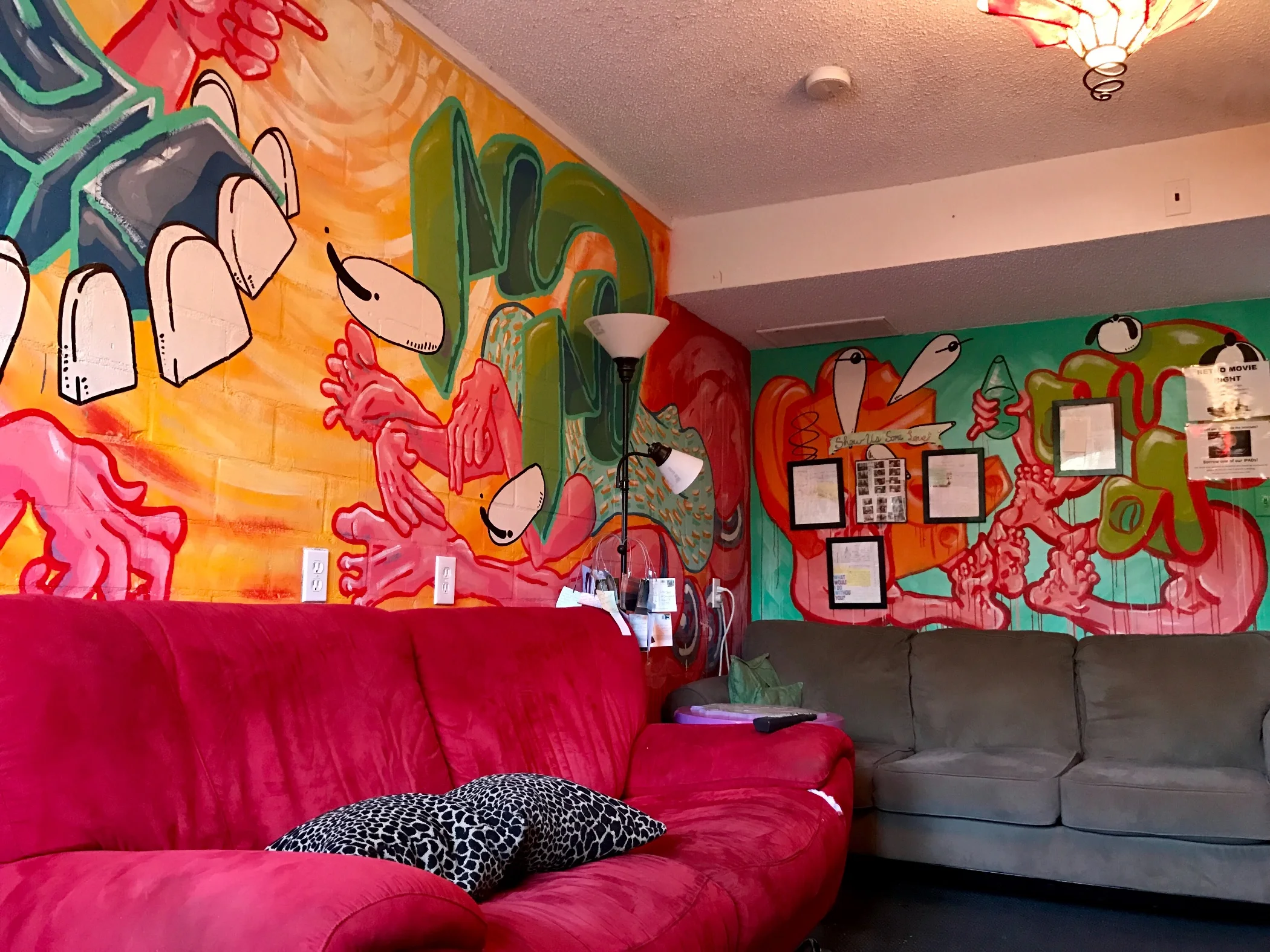
Pic 2, The common room at Drifter Jack's.
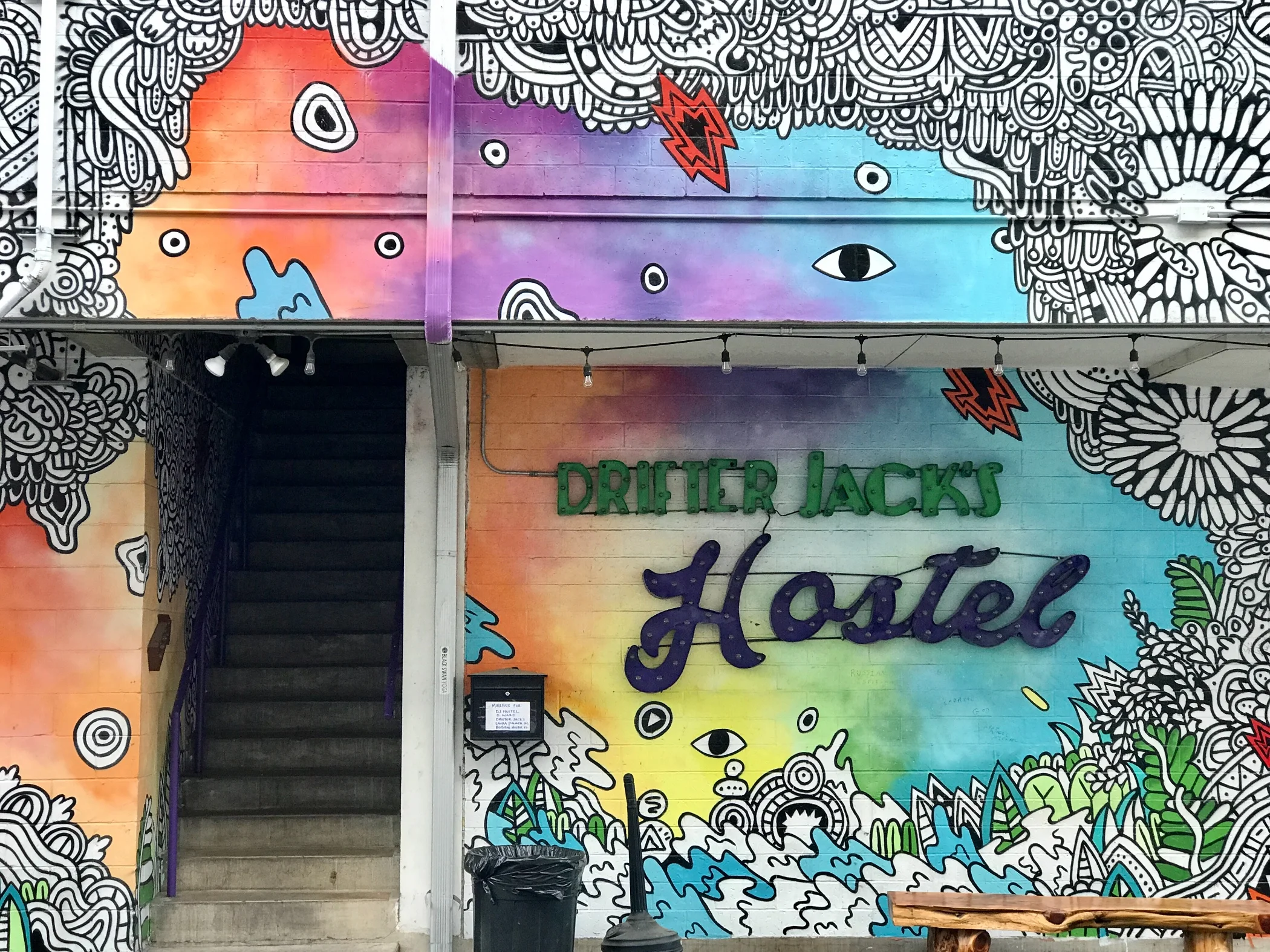
Pic 3, The exterior of Drifter Jack's.
More to come,
Michael
Southern Tier, Post 26
Day 28, Post 26: This morning's ride was stunning. From Kerrville I climbed a steep hill and found myself on 30 miles of local road winding through some of the most beautiful back country that I have ever seen. On every turn I found myself thanking the ACA (Adventure Cycling Association) in my mind for their insight by putting this road on the Southern Tier route. Some parts of Texas Hill Country that are as pleasant and beautiful as anywhere one would want to cycle, and I was in the thick of it. And because I happened to be alone this morning, there was only me, the fields, trees, birds, cows, bulls and small unassuming ranches, and no traffic whatsoever.
Later, after an exceptional lunch in Fredericksburg (turns out this town of 10,000 has two first rate competing Italian chefs), I found myself for about 40 miles in the kind of hill country I've been warned about. After each climb, just when I was at the point of deep exhaustion, there was another hill. I tried to give up all hope the hills would ever end. They do of course, but not until after Johnson City, TX, where I am currently housed in a pleasant dive of a motel. This is the kind of place that I like - working folks all around, a large family of South Asian owners, run down funky and seedy charm. The grandmother of the owner family must have had a stroke - she cannot form words, but she sure isn't shy - she talks up a storm with great enthusiasm, and everything she says is unintelligible. Weirdly, this kind of place makes me feel safe.
Tomorrow I hit Austin. I may need an extra day there - I plan to swap out at least one - if not both - of my tires, and replace my falling apart front panniers. If I'm lucky, I will also be able to visit with the brother of a very close family friend. And then it's off toward Houston. Central and Eastern southern Texas are as unknown to me as West Texas and the Hill Country was. I don't really know what the landscape will be like or what the feel of the towns will be... looking forward to finding out...
Check out my road cycling activity on Garmin Connect.
https://connect.garmin.com/modern/activity/1634953429
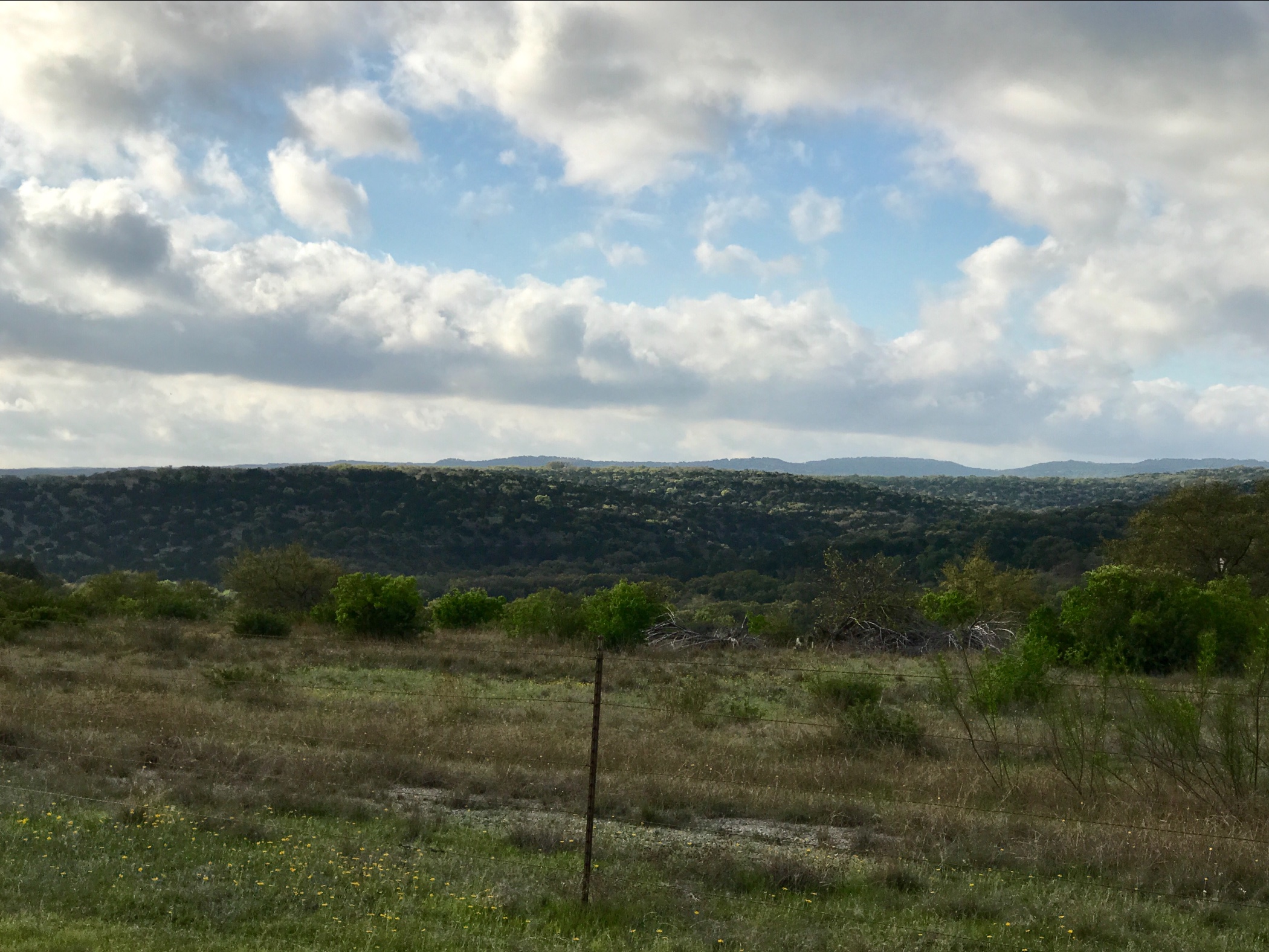
Pic 1, The road just after leaving Kerrville.
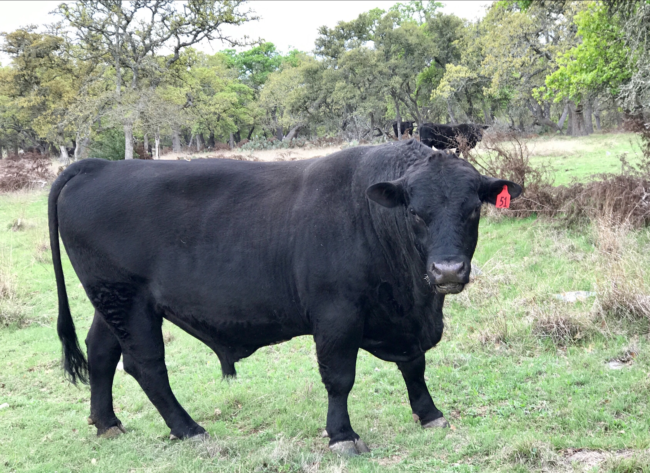
Pic 2, A bull grazing along the road.
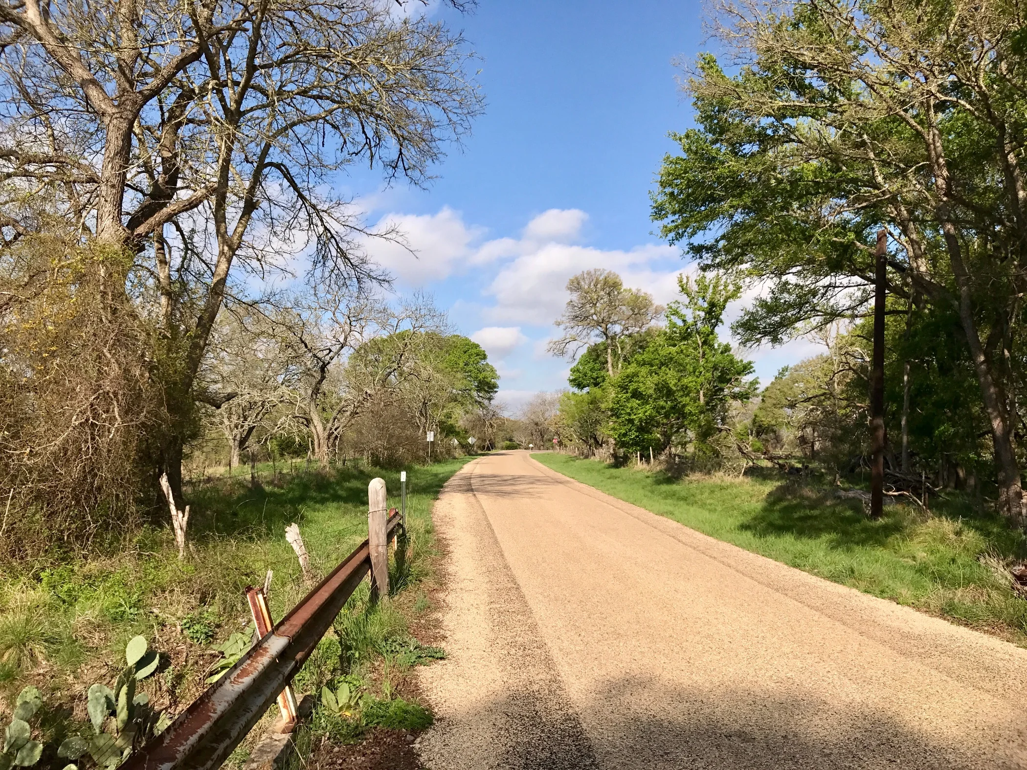
Pic 3, Another shot of the road east of Kerrville after the sun had burned off the overcast.
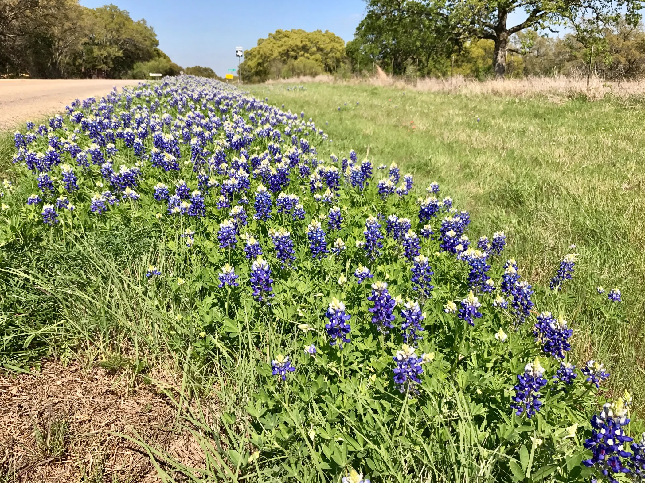
Pic 4, Bluebonnets are the Texas state flower. They are everywhere!
More to come,
Michael
Southern Tier, Post 25
Day 27, Post 25: Ever heard of Kerrville, TX? I hadn't. It seems to be a reasonably large town, all things considered. West of it is Hunt, TX - a prosperous town surrounded by large ranches, which reminds me somewhat of the small towns in the coastal mountains of the South Bay in California. Odd to come on that from the west where the distances are so vast, traffic is so light, and amenities are so few.
We had our toughest hill yet starting out about 8 am this morning, straight up for about 3 miles at about a 10% grade. Because I wasn't exhausted yet, I rode it at the merry clip of about 3.5 mph. Guess how long it took me to get to the top? That's right, about 50 minutes of hard, hard work. Stopping seemed imprudent- how would I ever start again? So I persisted. The hills continued and then finally mellowed out for the day at the Guadalupe River. Unfortunately I was moving so fast and enjoying myself so much I failed to take enough pictures along the river basin as I approached and cycled past Hunt into Kerrville. It reminded me a lot of the Delaware River basin country in Pennsylvania. Isn't it annoying how we make comparisons wherever we go? Why can't each place be unique, since, in reality, it is.... ? Ok, there's nothing like the Guadalupe River Basin and it's beautiful!
I just worked out a plan for spending several days in New Orleans with my friend Carolyn in two weeks. Three blissful days wandering around New Orleans! It'll be magic! But first I have to get myself to Fredericksburg, then Austin and around Houston. The next ACA "Southern Tier" map doesn't even have an elevation profile. But first, eastern Texas. Then, swamps. And swampland is flat! Except for the alligators on the road.
Btw, my poet friend Rafael Gonzales pointed out that I should have called a county park I mentioned a few days ago "beloved" instead of "infamous." He's right, of course. And a family member mentioned to me a while back that I was mixing up its and it's. At the time I wrote this, but never found the right time to post it....
"All my life I have been surrounded by English teachers, an awful affliction for those who - like me - care a little about good grammar but not, ...well, enough. Precision is the expectation, and one is destined to disappoint. Digital spellcheck makes things worse. Even though I know the difference, my computer and/or phone occasionally gets "your" and "you're" wrong. I'm proud to say, however, that I almost always get my pronouns right - "I understand the distinction in use between "I" and "me", and I cringe when I hear "myself" used instead of "me", a very common mistake these days... But it's and its? Well, Thats another story. But for a moment let's assume I'm an it. If that were true, then it's its problem, is it not? And whoever thought of naming that famous San Francisco ice cream cookie sandwich an "it's it"? Or is it an "its it"? Explain that to me, English teachers".
Check out my road cycling activity on Garmin Connect.
https://connect.garmin.com/modern/activity/1632929572
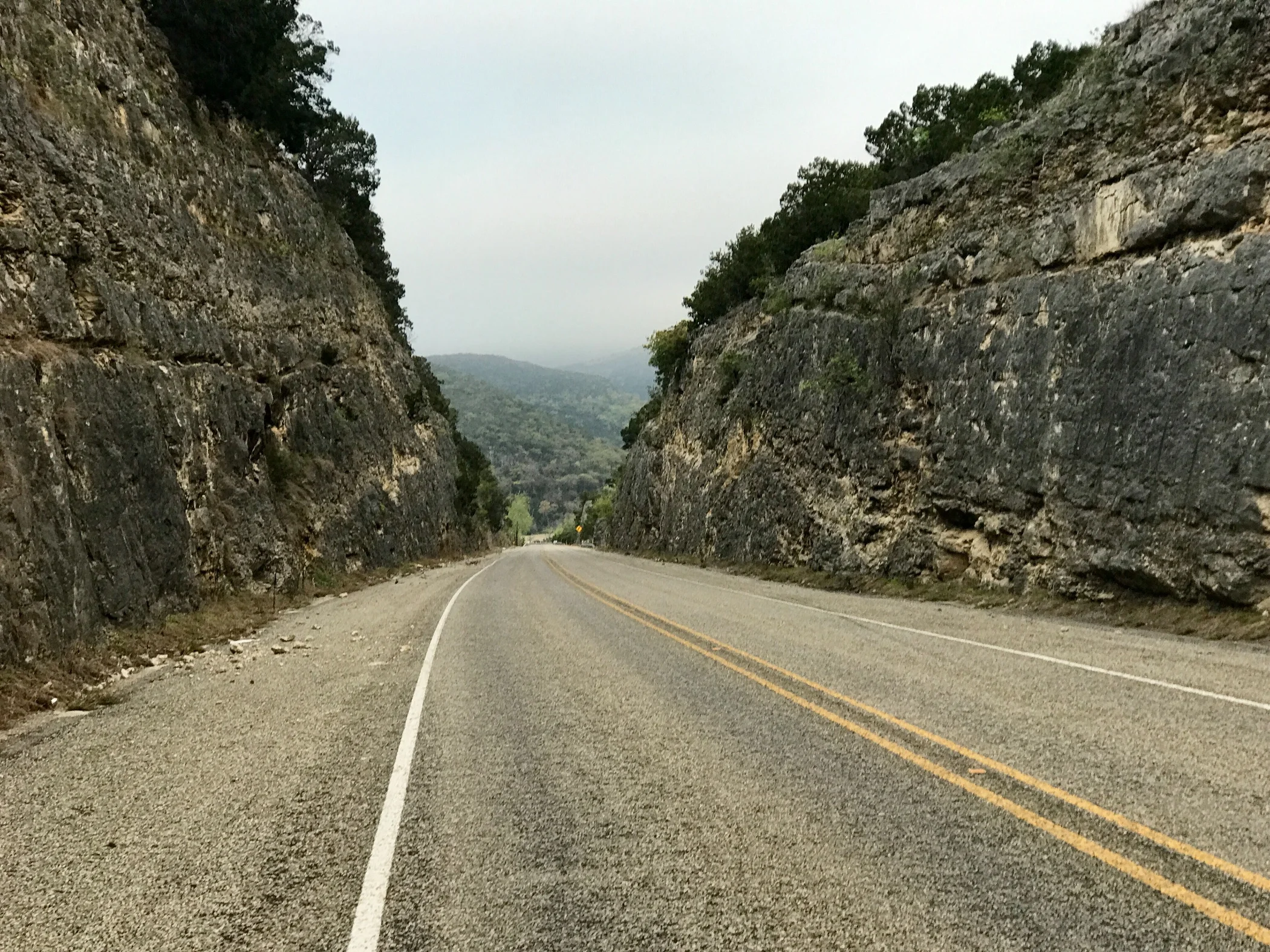
Pic 1, Looking down at the hill I climbed first thing this morning. That's a 10% grade!
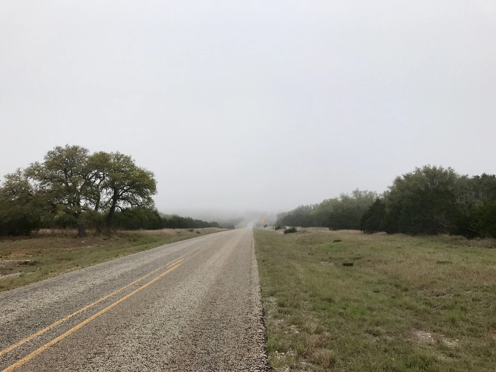
Pic 2, Hill country shrouded in fog - the way each morning seems to start.
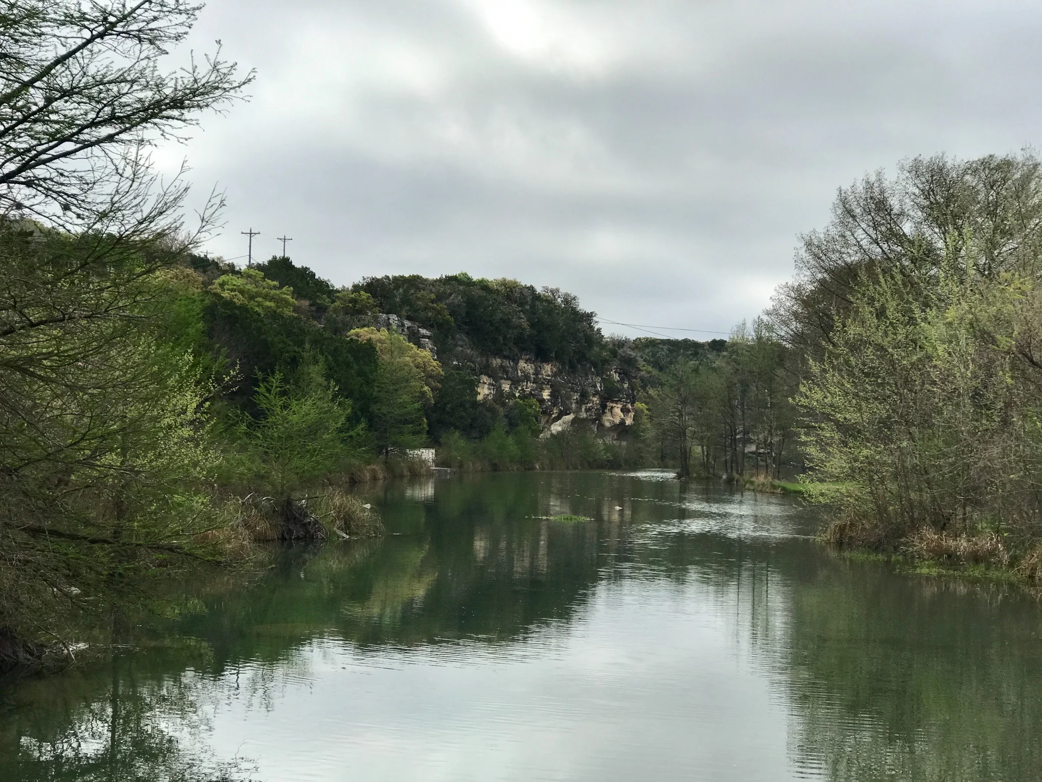
Pic 3, The Guadalupe River.
More to come,
Michael