
Glacier to Seattle, Post 1
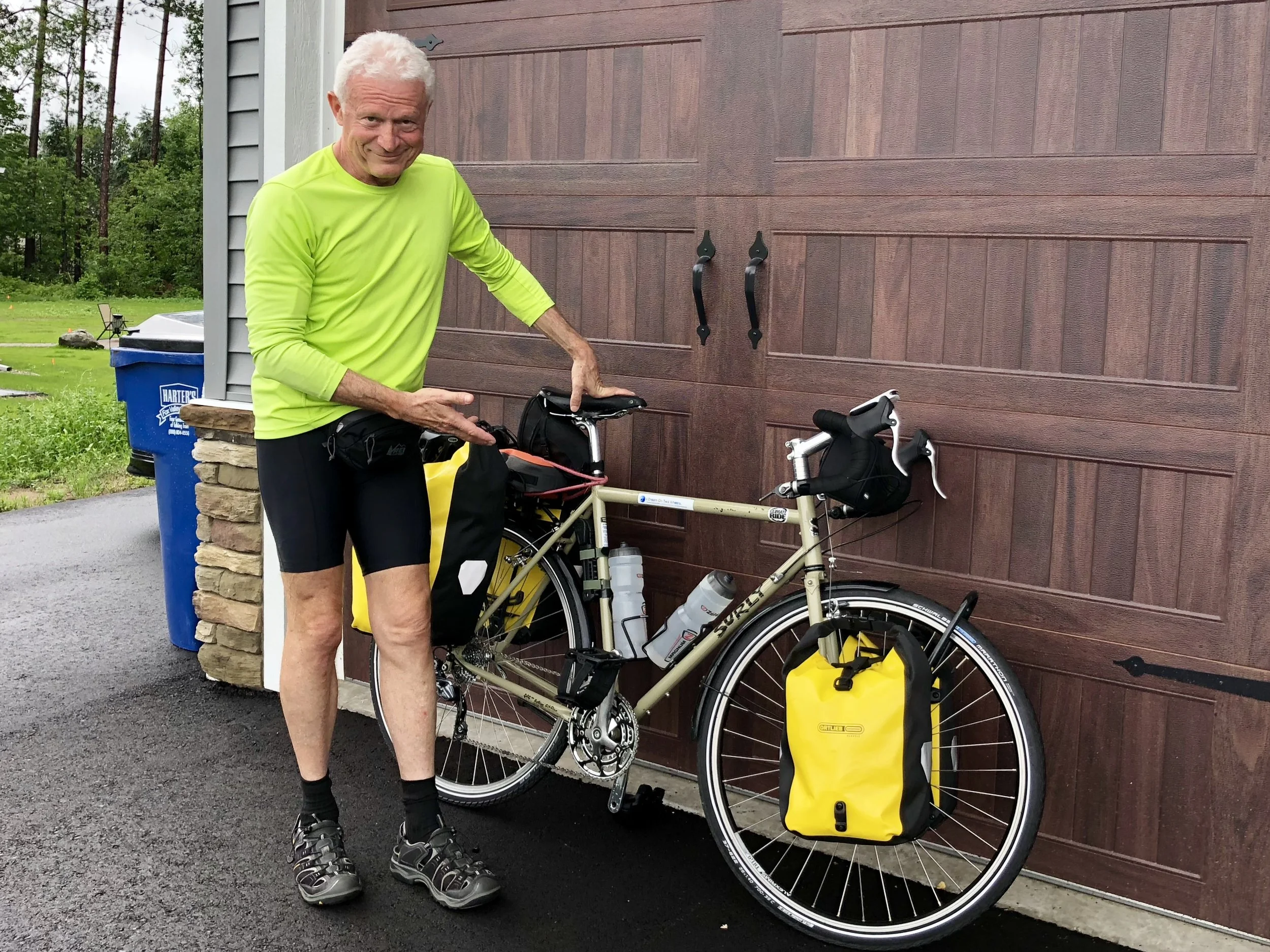
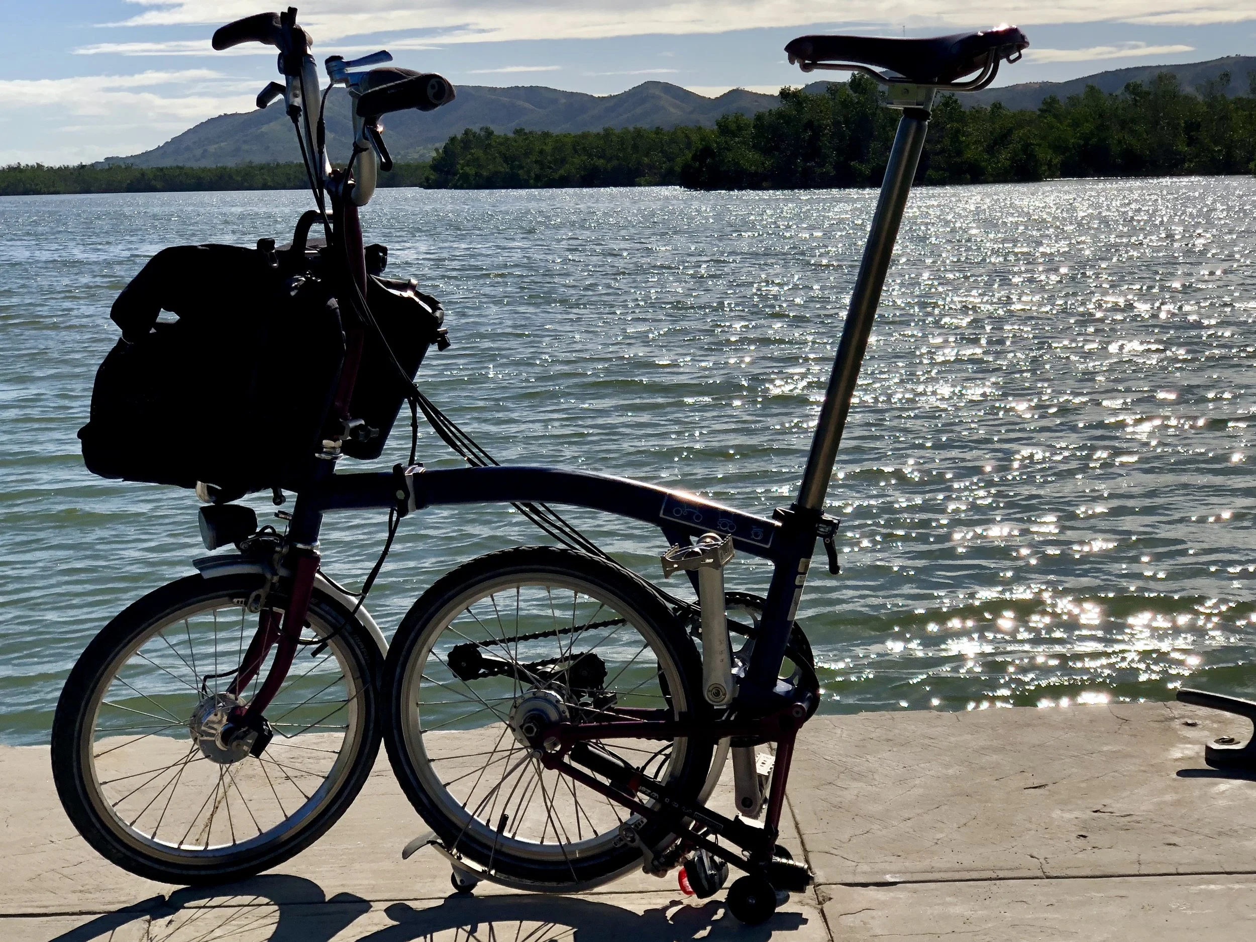
Showing off my latest setup. Each trip, I'm a bit more compact.
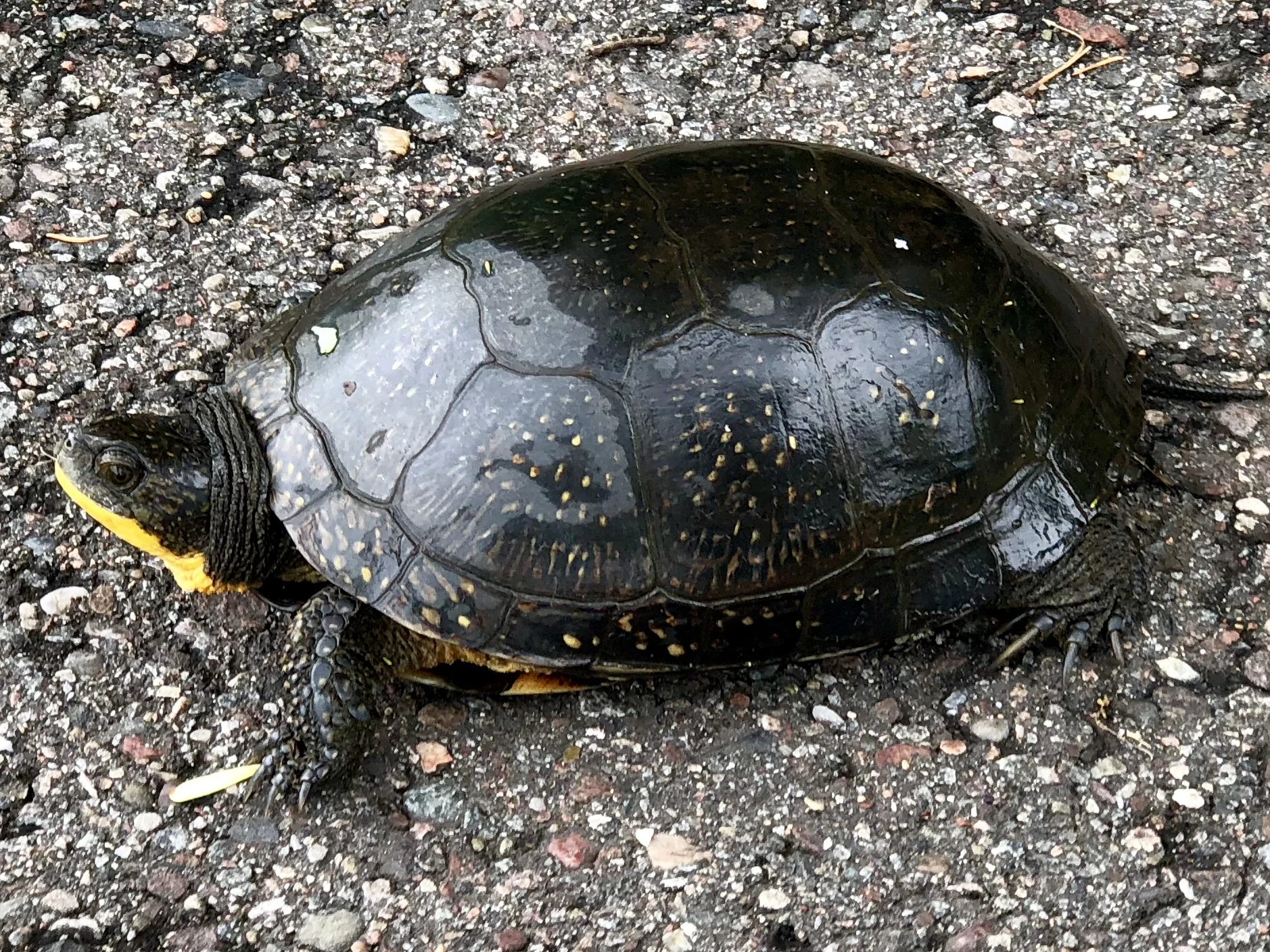
A midwestern Box Turtle lounges on a bike path near Rib Mountain, Wisconsin.
According to The Wisconsin State Department of Natural Resources, Wisconsin’s state bird, the American Robin, arrives 13 days earlier in the spring than it did in 1990. The DNR also reports (without fanfare) that drought, heat waves, heavy rainfall, and other extreme weather events are likely to become more common in Wisconsin’s future. The state may also see as many as 60 days per year where the temperature tops 90 ̊F by the end of this century, with more than 14 days over 100 ̊F.
Small wonder then, as I arrived in Kronenwetter, WI, last Friday to visit with my kids and grandkids for Fathers Day weekend, I was greeted by a number of weather advisories. They seemed more than usual, and it turned out that they were.
Officials in northern Wisconsin said a man found dead near his truck was killed by flooding that swamped the Upper Midwest over the weekend. The Ashland County Sheriff's Office said Monday that the 75-year-old man, whose identity has not been released, was found some 60 feet from his truck in a flooded ditch near the White River on Sunday. Dozens of sinkholes and washed out roads were also reported Sunday as flash flooding triggered by heavy rainfall swamped several towns from northern Minnesota and Wisconsin to Upper Michigan".
Associated Press (AP)
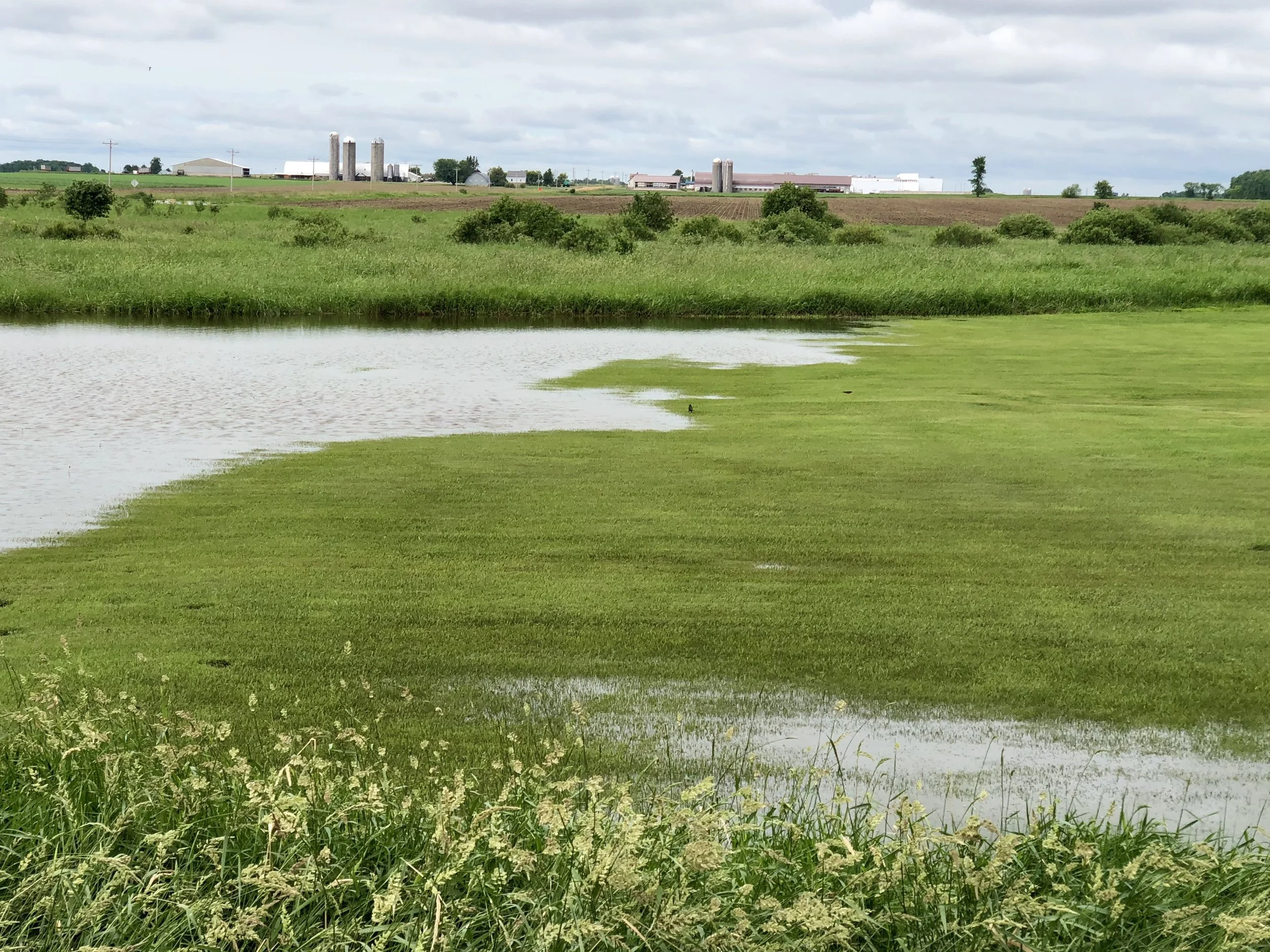
A flooded yard near Colby, WI.
I awoke today to more weather alerts, heavy rain and flash flooding. Today is the first day of my latest trip, and I am on my way to Minneapolis, where I will board the Amtrak "Empire Builder." This route runs from Chicago to Seattle and allows one to roll a bike onto a luggage car without boxing it for a mere $20 in addition to one's ticket. I will get out in western Montana and cycle the remaining 850 miles and three significant mountain passes west to Seattle. But not before I say goodbye to the remaining glacier fragments in Glacier National Park, my first destination in the West.
According to Wikipedia, the glaciers in the Park have been reduced in area since 1966 - some of them by as much as 85%. The average area reduction over the approximately 50-year period is 39%. Currently, only 26 glaciers in the Park are larger than 0.1 square kilometers (25 acres) which is used as a guideline for deciding if bodies of ice are large enough to be considered glaciers. By that logic, many glaciers in the Park are already gone. But more on that later. First I must get there. And along the way I am saying goodbye to other things, such as reasonably predictable and benign June weather.
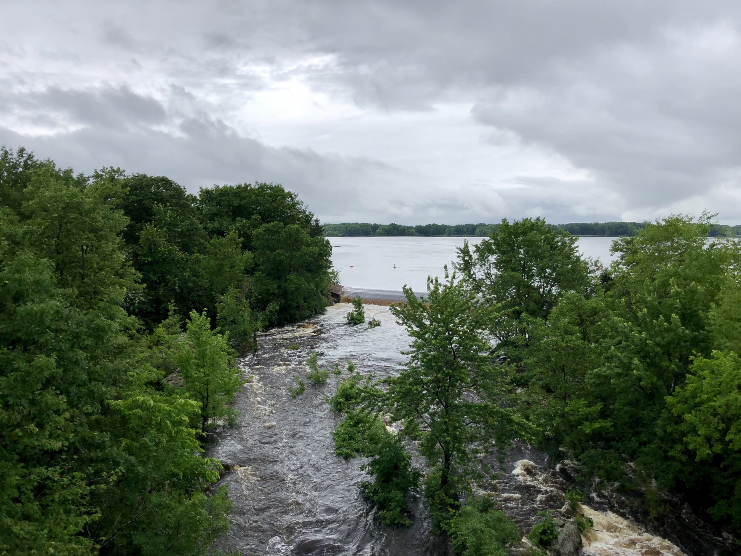
The swollen Wisconsin River.
I waited until 10 am for the rain to subside enough to cycle. I was fortunate for the remainder of the day. Although there was drizzle, I didn't have to endure any downpours. My bike has been freshly tuned, and it was a pleasure to be on an open highway, taking the rollers with as much speed as I could, feeling my legs thrust and my lungs open up. I was in a little bit of heaven all day. Why did I wait so long to do this again? Although inaccurate because my GPS was temperamental, you can see my route by going to my road cycling activity on Garmin Connect at:
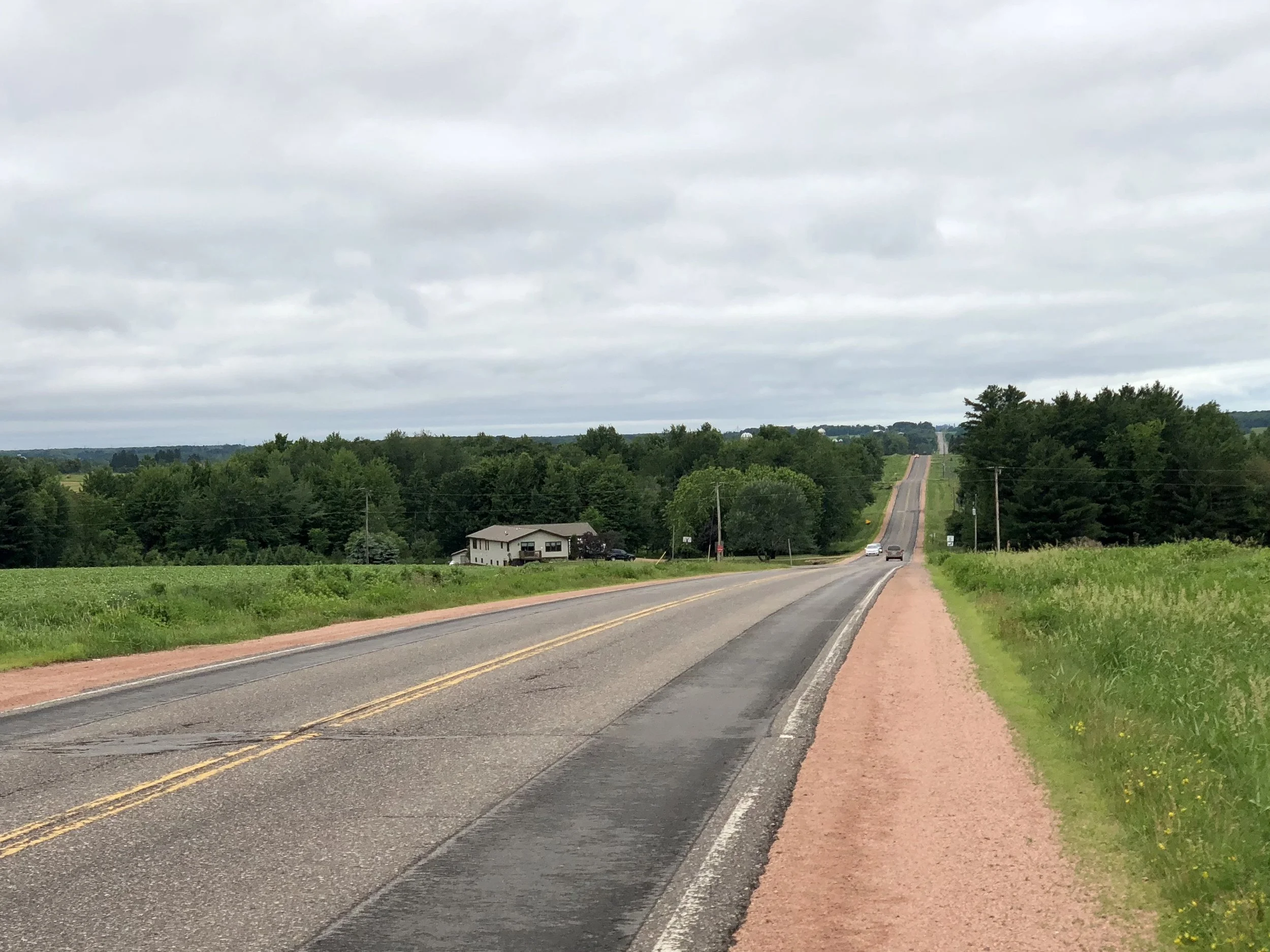
The road to Colby, WI.
There's something about the smell of silage and cow manure. I grew up smelling it in Galesburg, Illinois, depending on the direction of the wind, and I used to spread a mixture of the two ingredients from a tractor on a nearby farm. I worked for a farmer who was a family friend in high school, and I used an old cog thrower wagon with "New Idea" painted on the side. Turns out the company is still around - I saw a marquee sign for their products today at a farm machinery store. I do think it's worth noting that in the Northeast there typically are gas marts where there are farm machinery stores in the Midwest. As a case in point, I biked for 32 miles through numerous intersections before finding a store where I could buy food. But I could have bought 3 or 4 tractors along the way. And a plow, corn shredder and a combine.
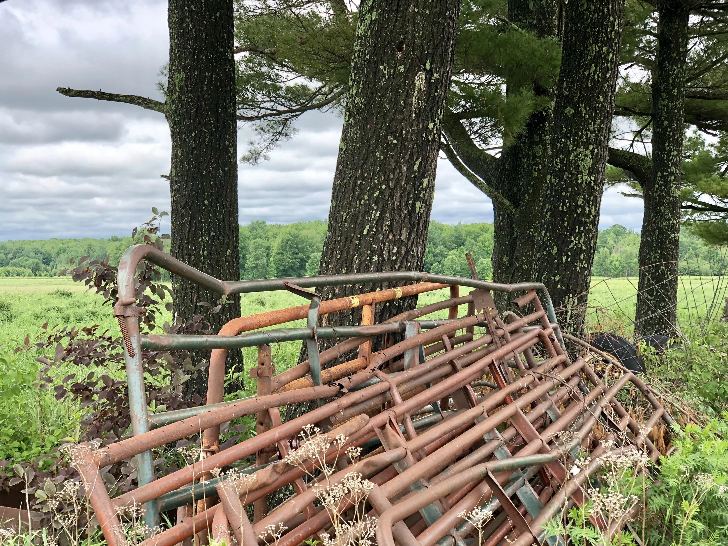
Old gates leaning against some trees.
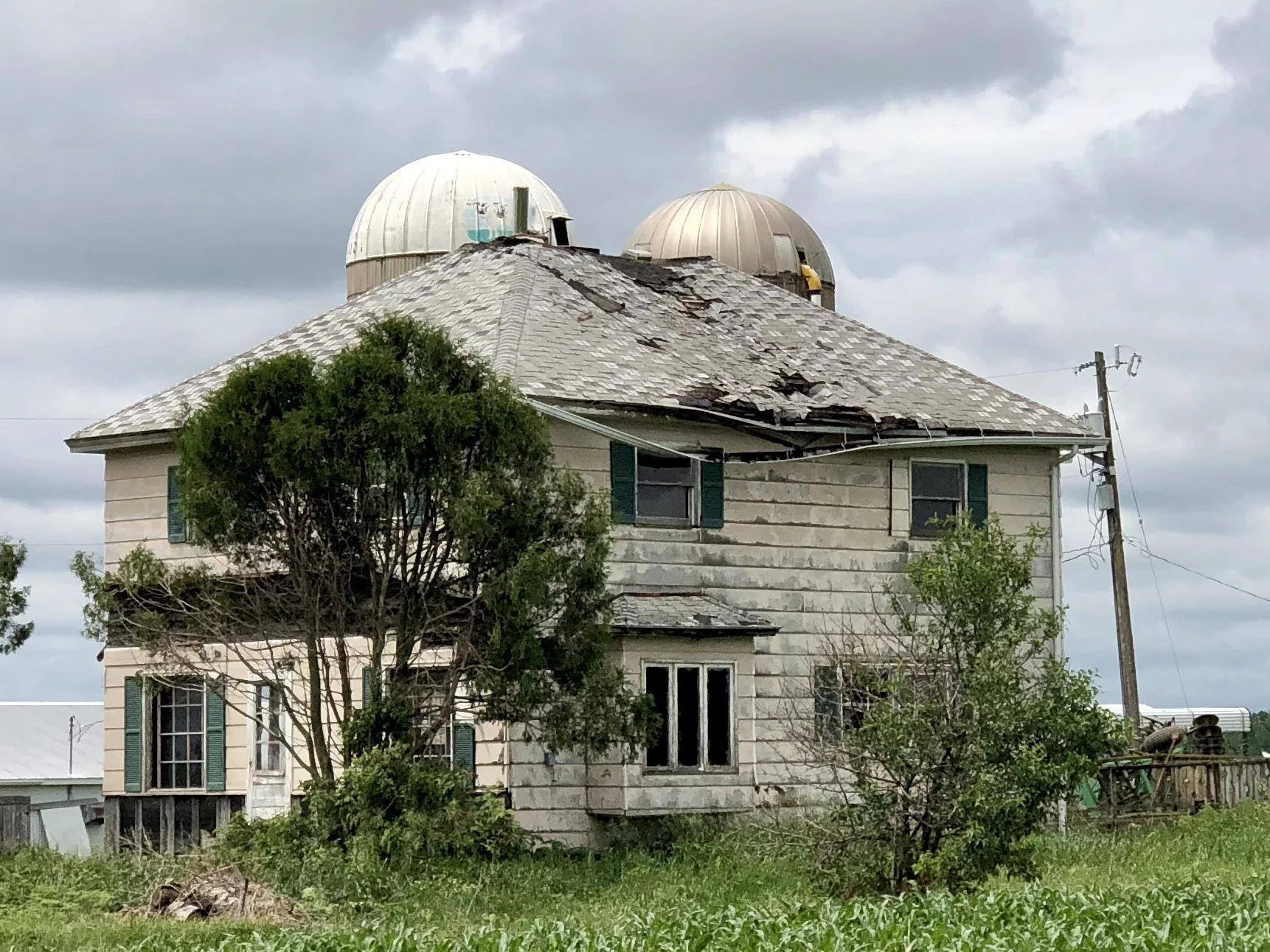
An abandoned farmhouse near Colby.
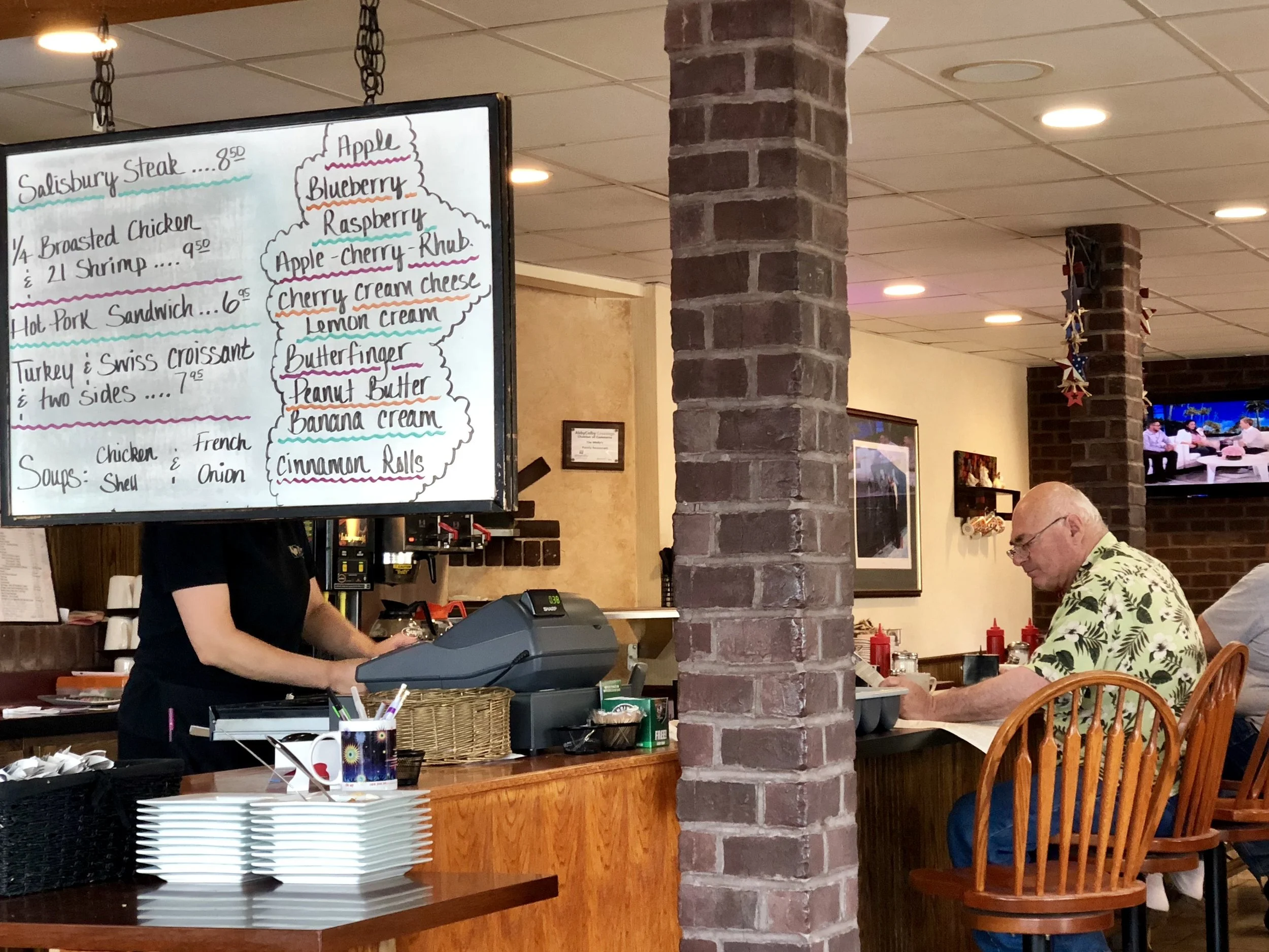
A restaurant in Abbotsford, WI.
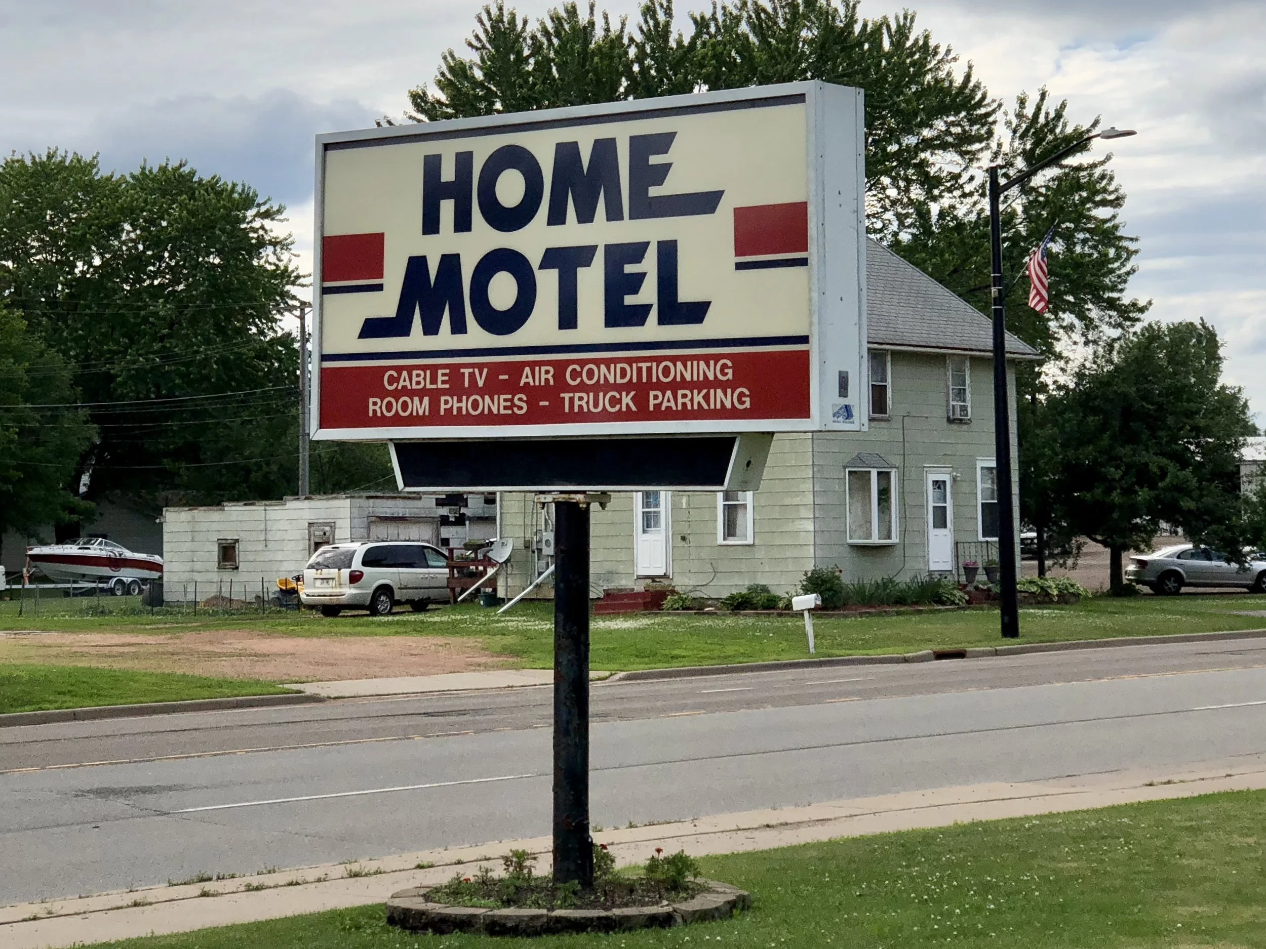
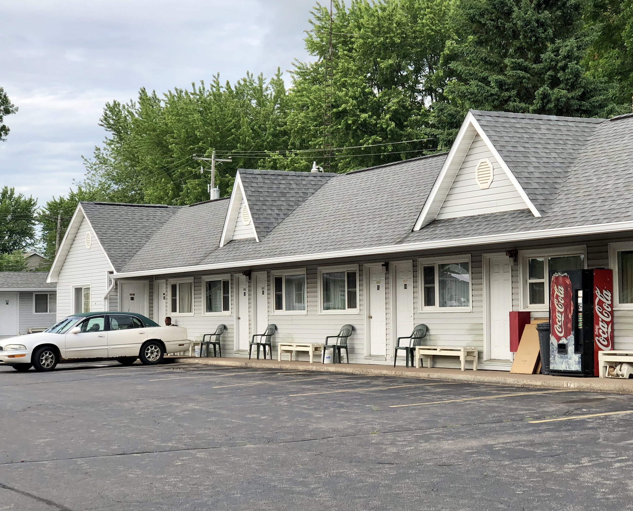
My sweet abode for the evening. A classic mid-century motel run by a South Asian family in Abbotsford, WI. What could be more American? Edward Hopper would be happy here.
More to come. Thanks for reading!
Thinking about Carbon
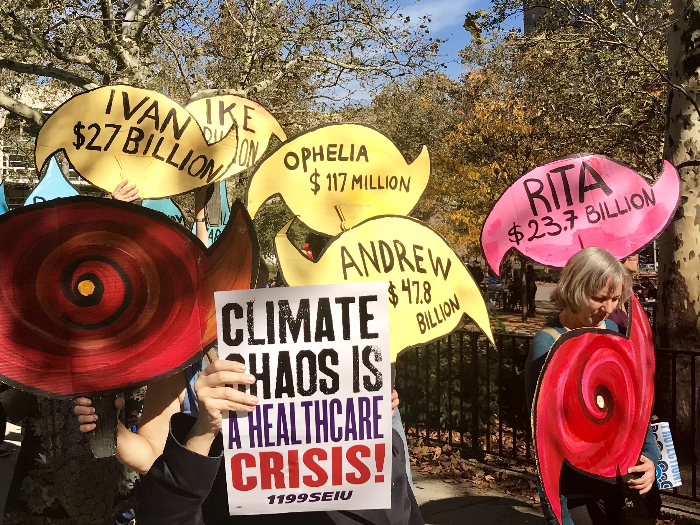
Over the past year, I’ve had the good fortune to become involved with two organizations making significant educational and policy-based contributions toward a reduction in Greenhouse Gas Emissions (GHGe). One of those organizations is Citizens Climate Lobby (CCL), and the other is The Climate Reality Project.
A broad-based national constituency for climate action, The Citizens’ Climate Lobby (CCL) is a non-profit, non-partisan, grassroots advocacy organization focused on national policies to address climate change. The CCL’s respectful, non-partisan approach to climate education is designed to create a broad, sustainable foundation for climate action across all geographic regions and political inclinations. By building upon shared values rather than partisan divides, and empowering supporters to work in keeping with the concerns of their local communities, CCL volunteers work towards the adoption of fair, effective, and sustainable climate change solutions, the most primary being the passage of a carbon fee and dividend proposal.
Several times each year, The Climate Reality Project brings together a diverse group of passionate individuals including cultural leaders, organizers, scientists, and storytellers to attend “Climate Reality Leadership” training. Training events are hosted all over the globe, and are attended by a thousand people and more. Although applicants pay their own travel and lodging, training costs are underwritten and free to participants. Led by former Vice-President Al Gore, current Climate Reality CEO Ken Burns, and a very capable and energetic staff, participants hear from a number of political and policy leaders, sustainability experts and renown climate scientists. Participants leave with full access highly vetted and copyrighted material they can use to lead and educate others about the climate crisis. No matter what one's level of experience in climate change work, Climate Reality Leadership training is an invigorating and challenging way to deepen one's capacity for activism.
Interestingly, Climate Reality recently rolled out a carbon pricing campaign. The congruence in policy focus between these two large organizations is no accident. Carbon pricing is a widely accepted idea among many economists for creating a predictable market-based mechanism that will accelerate a decrease in global carbon emissions. Serious students of climate-science know that the world must accelerate the transition to a clean energy economy if we are going to have any chance at preventing significant economic losses through decreased agricultural yields, sea level rise, increased temperature spikes, melting ice caps, floods, droughts and other extreme weather events such as hurricanes. Every day our situation is more urgent than the day before. Simply put, until we significantly slow down our carbon emissions, we are in danger of running out of time.
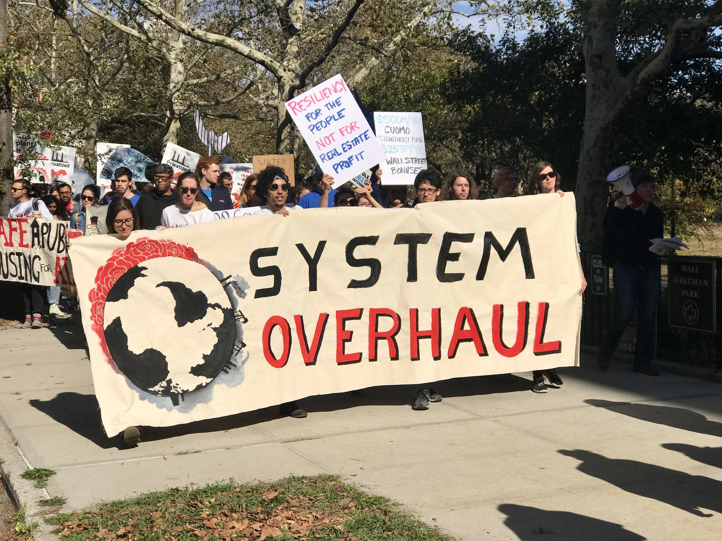
Carbon Literacy
To understand how critical it is that we reduce carbon emissions, it's useful to think about carbon budgeting. In Paris in 2015, negotiators adopted 2 degrees centigrade (2C) as the uppermost limit for global temperature change to avoid destabilizing both natural ecosystems and human civilization at a catastrophic level. And, in a desire to avoid disruption at a less risky level, the Paris Agreement also included an aspirational goal among participating countries to limit warming to 1.5C. However, the most powerful aspect of the 2C goal is not its scientific veracity, but its simplicity as an organizing principle. What the 2C threshold lacks in nuanced predictability, it more than makes up as a goal that is understandable, measurable and may still be achievable (although to stay below that threshold our actions will need to change quickly). Although a 2C goal is a blunt instrument with many shortcomings, its ability to inspire 195 countries to sign an agreement should not be discounted. In other words, we should do everything we can to honor that threshold. We may not get many more chances.
The measurement for a 2C world corresponds directly to the amount of GHG emissions (e) we put into the atmosphere. And since CO2 is the most ubiquitous GHG, we can quantify our problem with emissions by directly measuring CO2e. Simply put, most climate scientists agree that our atmosphere can tolerate about 2 trillion, 900 billion tons/CO2e before we exceed the 2C benchmark and put ourselves in danger of catastrophic change. Since 1870, we have emitted 2 trillion, 156 billion tons/CO2e, which is almost 75% of all allowable CO2e to meet the IPCC 2C limit for emissions. Essentially we can emit approximately 744 billion more tons of CO2. Last year the world emitted 40 billion tons of CO2e (a slight uptick from the previous three years, which were flat at about 37 billion tons). That means that every day, the world dumps 110 millions tons of carbon into the atmosphere.
The numbers above illuminate the urgency of our situation. We have a lot to accomplish in a short time, and the stakes could not be higher. I believe we can start by making ourselves more carbon literate. The math is straightforward, and we need to bear in mind the following reality: Assuming we continue to emit at current rates, we will reach the 2C benchmark in about 18 years (by 2036, at the time I am writing this).
I recently had the good fortune to hear a presentation by Arnaud Brohe, US CEO of CO2logic. This company helps other companies and organizations calculate, reduce and offset CO2 emissions. Their approach to lowering GHGe uses the following steps.
Calculate
Reduce
Offset
Price
The simple steps above can be applied at any level of carbon accounting, whether they are individual, organizational, institutional, corporate, or governmental. No matter how we approach carbon emissions, we can apply these four steps to manage and reduce emissions. On the individual level, we can calculate, reduce and offset. However, at institutional, corporate and governmental levels of action, carbon pricing may also be an option.
Calculating Carbon
According to the Union for Concerned Scientists (UCS), the average American emits approximately 18 tons of CO2 annually (about 3000 lbs of carbon a month). Of course, this is an average figure and there is lots of variation. But it's useful for estimating one's contribution to our collective problem. There are many excellent carbon footprint calculators around. One of the most useful is carbonfootprint.com.
Here are a few interesting calculations:
The making of your smartphone emitted 200 lbs of CO2e (and the continual use of it emits small amounts of carbon depending on your electricity supplier)
Flying coach from DC to Chicago = 300 lbs/CO2e (distance and class are the biggest determinants)
Flying JFK to SFO coach round-trip flight = 1 ton/CO2e
Flying first-class round-trip NYC to London = 2.5 tons/CO2e (first class burns more carbon per flight because it accommodates fewer people)
Driving one mile in traffic = 1 lb CO2e
Eating a steak = 10 lbs CO2e (red meat is about 10 times more carbon intensive than food from plants)
Reducing Carbon
Americans can voluntarily reduce emissions by:
Changing light bulbs to LED’s
Driving less/driving hybrid or electric
Flying less
Using public transportation
Biking or walking
Switching to a clean energy electric supplier
Unplugging electric appliances when not in use
Buying fewer things
Recycling attentively
Eating less meat
Wasting less food
Offsetting Carbon
Although many institutions and corporations offset their carbon emissions, some fail to market that fact for fear of antagonizing their customer base. In fact, the largest single corporate buyer for carbon offsets globally in 2016 was Exxon Mobil (a subject for another post). But individuals can use offsets as well. In fact, not only are carbon offsets an important step in the development and understanding of carbon pricing programs, they are an underutilized opportunity for wealthy individuals in the developed world who wish to help mitigate the problems their wealth (and related carbon emissions) has caused the world at large. In 2016, 64 million tons of CO2e were offset through voluntary carbon markets. The cost of those offsets averaged about $10/ton in the retail market, which means that the average American can offset his carbon footprint for as little as $180/year.
Offsets have been around for several decades, and have earned a reputation for being fraudulent at worse, and only effective as a net-zero application at best. While net-zero offsets as a strategy are still problematic, they are no longer the only offset product available. It is now possible to purchase many different kinds of products that directly lower emissions. In addition, widespread corruption concerns are no longer applicable if one buys offsets verified by a well known third party. Some of the better-known verification standards are listed below.
The following companies offer offsets for individuals, organizations, and businesses that are well vetted and productive. There are many more.
amazon.com (Carby Box)
wildlifeworks.com (Carby Box partner)
carbonfund.org (Jetblue)
nature.org (Delta)
sustainabletravel.org (United)
terrapass.com (Expedia, Enterprise Rent-a-car)
southpole.com (Global Private and Public Sectors, Capital Markets)
Perhaps most striking on the list above are the carbon offsets that can now be purchased through Amazon.com. Although skeptical about the product when it was first introduced, I have come to appreciate that Carby Box brings the complex world of “Voluntary Carbon Markets” directly into our living rooms. Carby Box’s partner Wildlife Works uses a form of offset called Reduced Emissions from Deforestation and Forest Degradation (REDD+) that, at best, neutralizes one’s carbon emissions but doesn’t drive down CO2 aggregate amounts. In that way, the offsets are net-zero but not net-minus. Even so, it makes sense to me that if one can afford to neutralize ones’ carbon footprint when carbon emissions cannot be avoided any other way, then this has an immediate value. It isn’t a free pass to pollute, and it doesn't absolve us from our carbon footprint on the future, but it does make a bad situation slightly less bad than it might be otherwise. In 2016, offsets came from REDD+, but also from wind, landfill methane projects, community-focused energy efficiency, and clean cookstove projects. It’s important to note that many offset buyers (including individuals, corporations, and governments) chose projects for community-based economic benefits as much as emission offsetting properties. And, as best as I can tell, this is a virtue of the Carby Box Wildlife Works offset product.
Of course, in a year when the world emitted 37 billion metric tons of CO2, 63.4 million tons of carbon is close to negligible. But giving up is not an option. Plus, there are several other good reasons for supporting carbon reduction and offset programs. Many, although not all, of the programs are based in underdeveloped countries who are the least responsible for having created the climate crisis. So those of us who can afford it may want to support offsets in countries that didn’t create the problem in the first place for moral reasons. That’s a win-win.
There’s one last reason for supporting offset programs. Thinking about our carbon footprint challenges us to develop carbon literacy. It’s interesting to compare average individual carbon emissions from country to country, just as it’s interesting to compare the total output of carbon emissions from country to country. This drive questions. Who are the bad actors? Who does the most for our collective “tragedy of the commons”? What are the obligations of high carbon emitters to low carbon emitters? To what extent are we personally responsible? And what can we do personally, and as consumers and citizens, to mobilize change?
If we pay attention, we will realize that carbon has a price. The highest price of carbon may be the loss of the human species -- or at least the loss of civilization as we know it. But maybe we can forestall those prices by installing something much less expensive. How about pricing carbon at the point of sale at $40/ton the first year, and then increase it $10/ton for a decade, while the collected fees are and redistributed back to citizens to offset their costs for participating in an urgent reduction in carbon as a new economy develops? The plan above, by the way, comes from the Citizens Climate Lobby (CCL).
Electricity and a Wind Farm, PR post Maria, Post 3
You know how a song can get hopelessly stuck in your head? So can a promise to a stranger. Like a song, when the promise surfaces it has a way of circling back, nagging gently and sometimes causing irritation. Unlike a song, a promise stops nagging if it's kept. So the result of that simple moment when a stranger says, "Promise me you'll go to Utuado", and one answers without thinking, "I will," is that the promise becomes a song one can't get out of one's head. Until one keeps it.
So I had no choice. I had to return to Puerto Rico to go to Utuado.
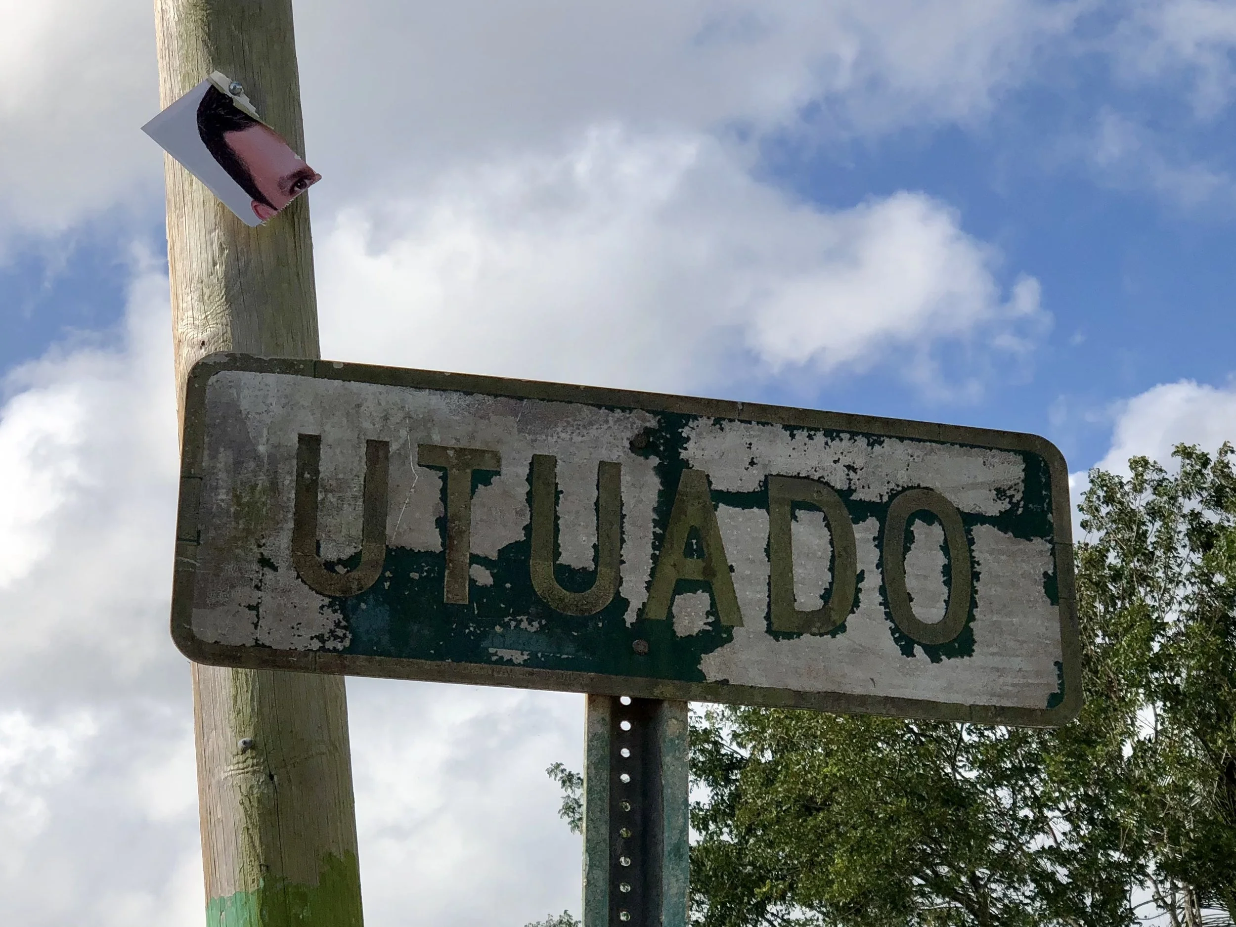
Not that fulfilling my promise to visit Utuado was my only reason for returning. There are many other good reasons. To flee cold weather in the northeastern US for just a bit longer, to put a little money in the economy as a student at a Spanish language intensive and to explore how communities rebuild after extreme weather disasters are among them. Besides, the island needs people to visit - FEMA, of course - volunteer utility workers - church assistance groups - aid societies - maybe even Tesla to build those microgrids Elon Musk talked about in late September of 2017.
("Did Tesla come? Are they here?" I keep asking, but no one I've asked thinks they did.)
Tourists need to come here as well. Especially now. And, in spite of these blogs (or maybe because of them), I'm essentially a tourist on a bicycle (for the most part). I'm not a big spender, but for what it's worth, I believe my presence has some value.
In the not too distant future, when predictable stages of extreme weather post-disaster recovery are more widely familiar, those stages may look something like the following: 1) relief, joy and gratitude at having survived, 2) mourning who, and what, has been lost, 2) making sure oneself and one's community have what is needed to survive over the coming days and weeks, 3) restoring essential communication infrastructure and cleaning up enough debris so that transit is possible, 4) restoring basic services such as electrity, plumbing and drinking water, 5) returning to the tasks of daily life that help one to normalize - such as going to work, socializing and entertaining, and hopefully - 6) rebuilding in smart ways to meet the next extreme weather event with greater resiliency.
Most of Puerto Rico now seems focused on steps 4 and 5. An islander told me yesterday that he thinks 85% of the island now has power. That might be true on a per capita basis, but I doubt that it's true geographically. The more developed and populated coastal areas have had power for several months, but many of the more remote rural areas are still struggling.
I had the good fortune to share a meal in Quebradillas with Jeff and Virginia Toussaint, owners of The Flowing River Farm near the village of Orocovia, which is located in the center of the Island. Their farm recently joined WWOOF (World Wide Opportunities in Organic Farms, a "worldwide movement linking volunteers with organic farmers and growers to promote cultural and educational experiences based on trust and non-monetary exchange, thereby helping to build a sustainable, global community.") Jeff and Virginia are currently hosting farm worker volunteers even though they have no electricity and are using a large "life-straw" water filtering system to draw water from a local stream. They seemed weary when I talked to them, but perked up as they shared their vision to create a self sustaining, net-zero energy farm that could provide food for their family and the surrounding community. And as we spoke about climate activism, carbon pricing, energy independence, permaculture and our shared antipathy toward car dominant transportation systems (having very poor public transportation and few protected bike lanes, PR is completely car dependent) we re-energized one another to continue fighting for sustainable organic farming, smart infrastructure and clean energy solutions in spite of the obstacles.
There has been a lot in the news about the presence of poor drinking water since the hurricane. But Jeff and Virginia tell me that water hasn't been a consistently potable resource on parts of the island for years, so poor water is not a new phenomenon. On the coasts, it's been relatively easy to purchase bottled water for a few months. But when roads are out, obtaining bottled drinking water is difficult and can be cost prohibitive in poorer, more remote communities, so residents have been forced to drink substandard water or devise filtering systems, such as the Toussaints have.
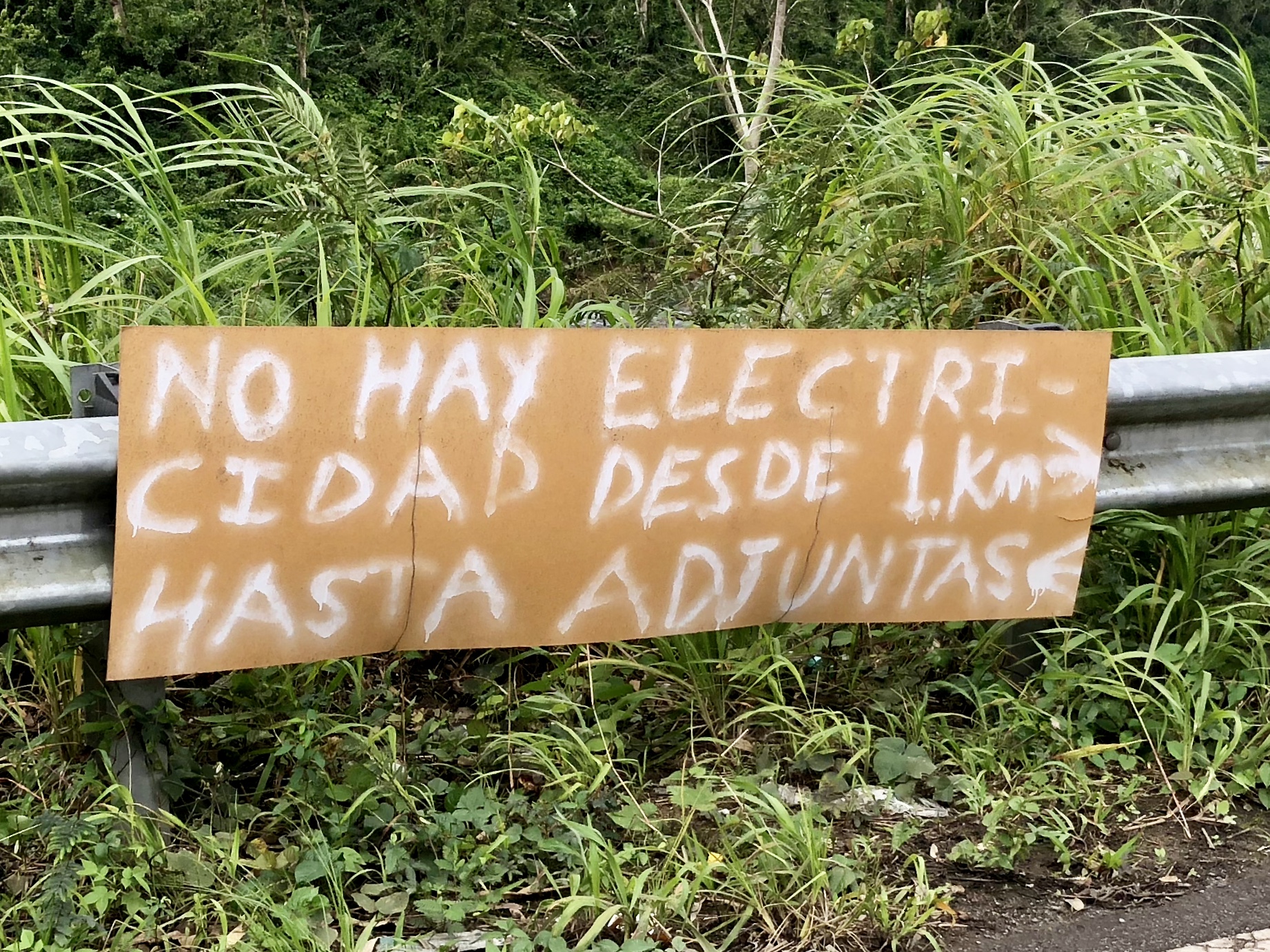
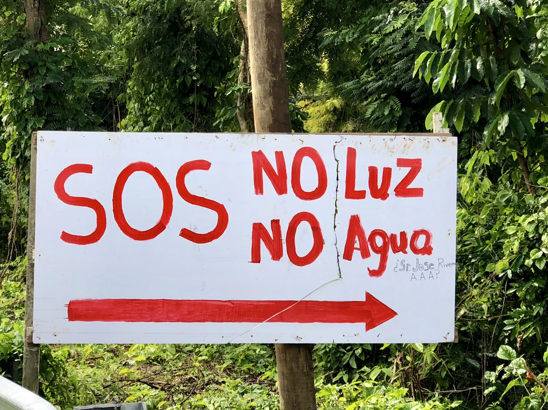
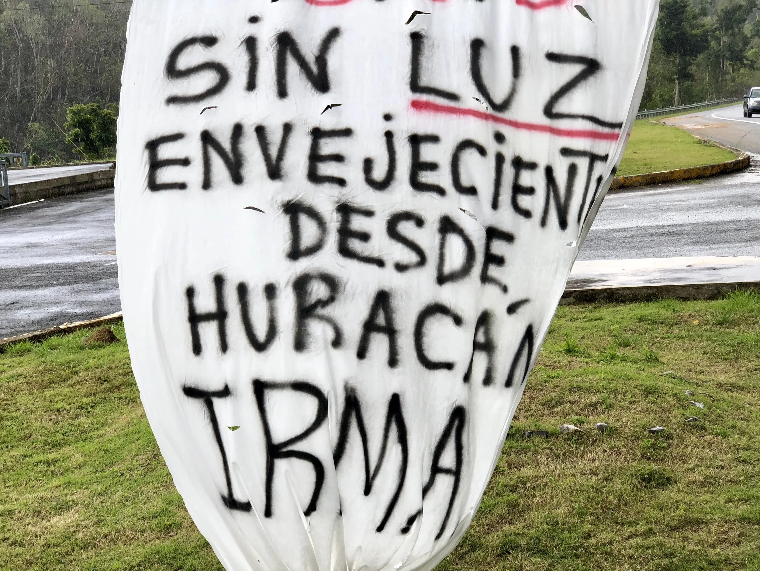
Just past Utuado, a reasonably large and spread out Pueblo south of Arecibo and north of Ponce, there is still no power between Rio Pellejas and Adjuntas in the communities accessible from Highway 123, a distance of about 25 kilometers. This area has received a lot of attention from the press, although that hasn't seemed to help PREPA get electricity beyond Utuado (which has had power since early February). PREPA is the Puerto Rican government run electric company, and you may have read that it will be sold later this year in an effort to privatize and modernize operations. Clearly, PREPA needs to be reimagined, so privatizing it may be helpful. It's essential that PR's electric grid becomes more responsive to the requirements of climate change. This is no mystery to Puerto Ricans. I encountered no resistance anywhere on the island to the notion that climate change will create more frequent and extreme hurricanes, greater ambient temperatures, increased precipitation, and storm surge flooding based on sea level rise. The average Puerto Rican seems to know what's coming.
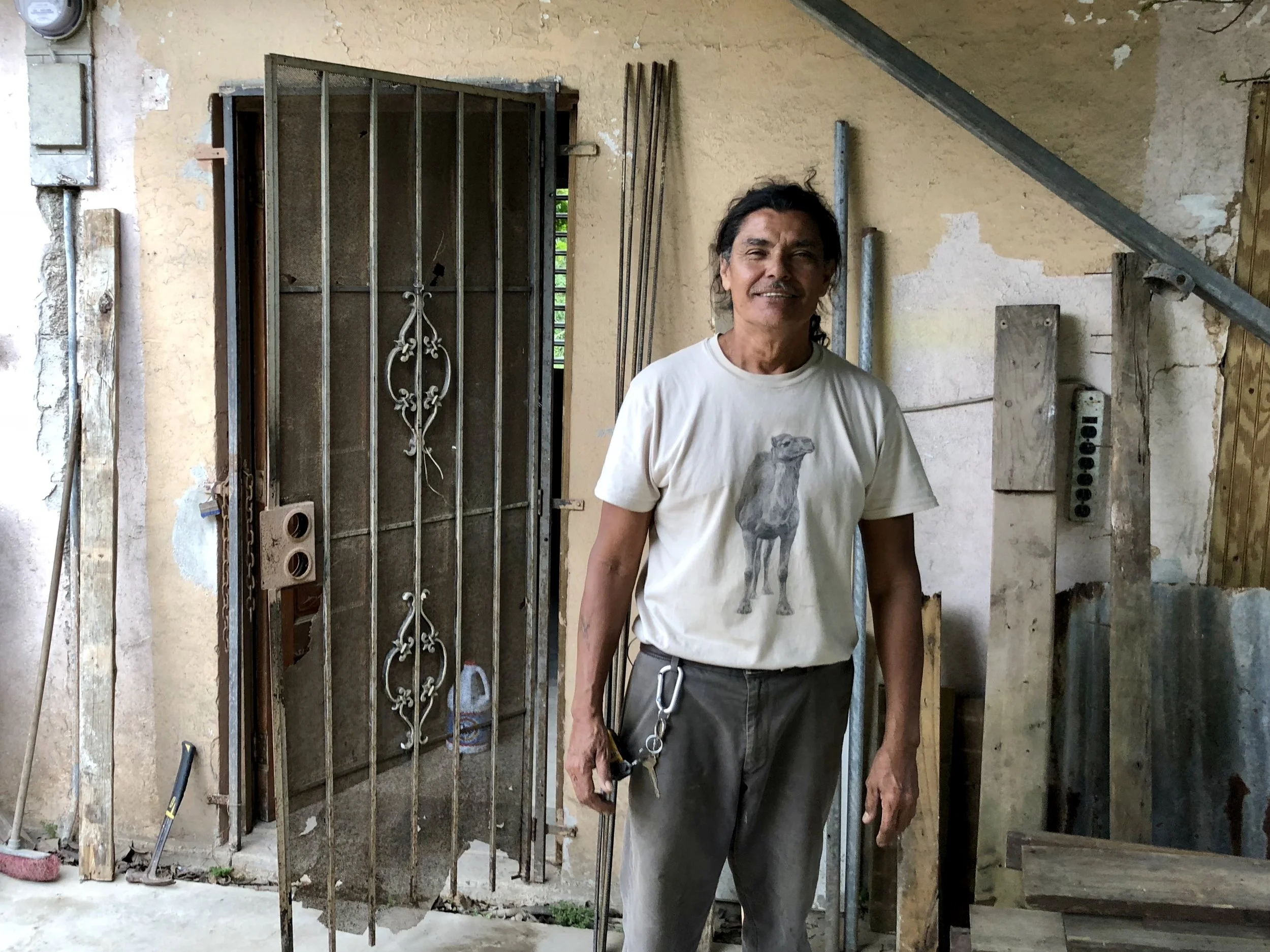
I met Manolito, a Puerto Rican of Taino descent, as I walked through Rio Pellejas to inquire about electricity. There were new electrical cables on poles outside his house, but he and his neighbors were not connected. He didn't know if the cables were live, and he didn't seem too worried about it. His plumbing was fine, and that mattered much more to him. In fact, he mused that after five months, he had become accustomed to life without electricity. He'd be glad when it was back, but he wasn't that bothered by its absence.
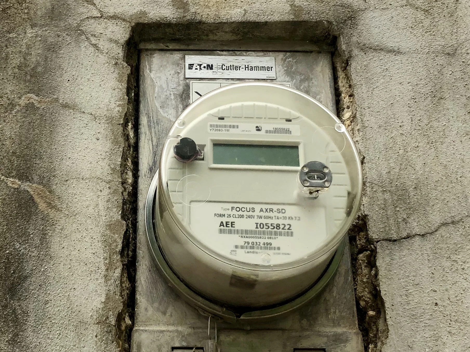
From time to time I find myself reflecting on the reality that we humans have lived with electricity for only about a hundred years, and have enjoyed civilization without electricity for almost 10,000 of the 40,000 years our species has been around. Is its absence really such a crisis? Perhaps so when it comes to health care - modern medicine certainly cannot function without it. But in most other ways, I'm not so sure. (I do appreciate the irony of writing that statement while composing a blog on my cell phone.)
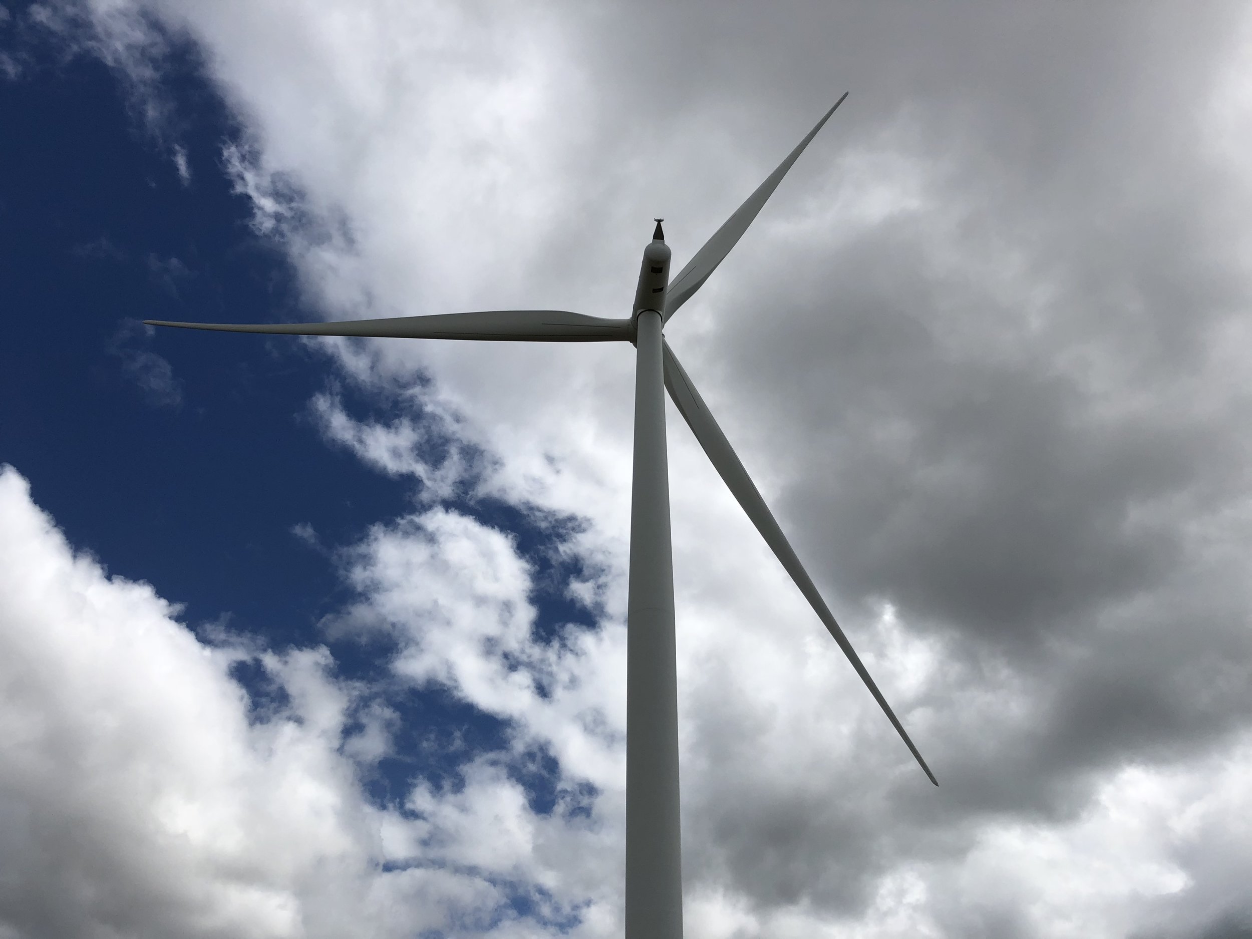
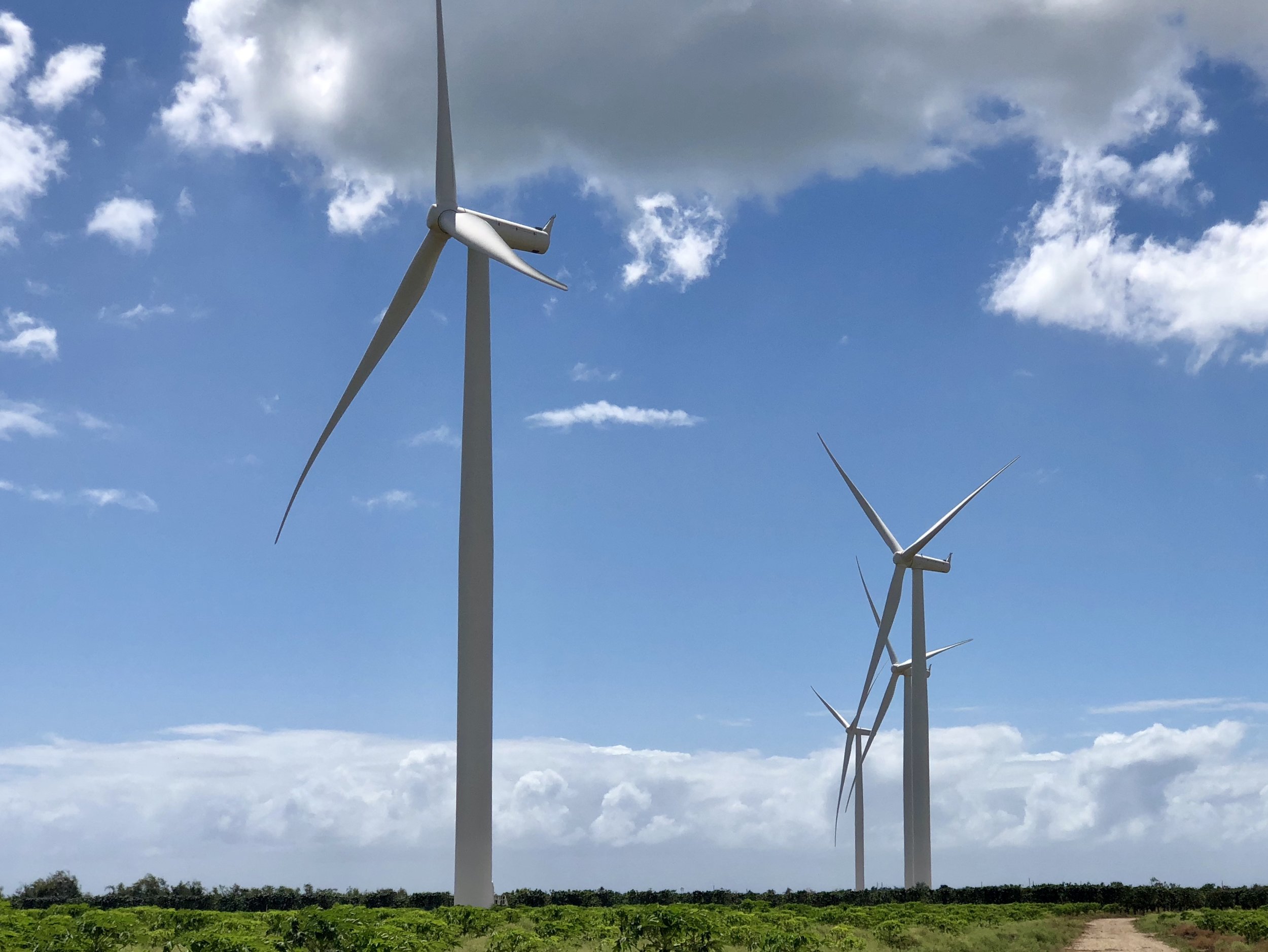
In spite of PREPA's overwhelming reconstruction challenge and their bureaucratic inefficiency, they have made some good choices. The government talks about establishing a portfolio standard with a goal of 30% renewables, which seems reasonable in an environment with an unlimited supply of wind and sunshine. Currently 13% of PREPA's full load is delivered through renewable sources. In 2012, PREPA contracted with Pattern Energy (headquartered in San Francisco, the company has 20 industrial sized wind and solar facilities all over the globe that generate more than 4000MW) to construct a wind farm slightly east of Ponce near the pueblo of Santa Isabel on the south coast. With 47 turbines, the Santa Isabel Wind Farm has a full capacity of 101 Megawatts, and is perfectly situation to take advantage of the constant and vigorous trade winds that blow from the east and southeast. Although the wind farm was built in 2012, the greatest capacity that PREPA has ever solicited has been 75MW (about 8% of PREPA's supply), which is what the farm was supplying to PREPA just before Hurricane Maria hit in September of 2017. There is another wind farm on the southeastern coast of PR near Naguabo called Punta Lima that was built and is run by Gestamp Wind, which had 13 turbines and a full capacity of 23MW. Unfortunately this farm was directly in the path of Maria and had to contend with winds that reached up to 200 mph. So, most of the turbines there were seriously destroyed by Maria, and the farm is not at all functional at this time. The Santa Isabel Wind Farm was also damaged, and some turbines are still being repaired. But its construction and fail safe technology allows it to survive 150 mph winds, and the blades can turn 180 degrees so that higher winds will be deflected and less damaging. At Santa Isabel, Maria's winds averaged 135 mph, with a few gusts that matched or exceeded 150 mph. As a result, about half of the turbines are currently online and the farm has a production capacity far greater than PREPA can currently utilize. At this time, PREPA is only taking 5MW. In spite of some ongoing repairs, the Santa Isabel Wind Farm will be able to supply at full capacity as soon as PREPA can absorb it.
I was impressed and delighted to learn that in this context the word "farm" has a double meaning. While fracking pads and oil wells are extraordinarily noisy and restrict terrain because of toxic exposure and protection from machinery, it is possible to grow crops directly underneath a wind turbine. The Santa Isabel Wind Farm is a "farm" in the truest sense of the word. Underneath its 3400+ acres are highly productive tomato fields, mango and papaya orchards, peppers, onions, eggplant, pineapple and approximately twenty other crops. The 800 acres of tomatoes can yield enough harvest in one day to supply the island for a week. The fields are shared with approximately 25 farmers who lease the land from the government at a beneficial rate, and also work closely with PR Farm Credit. In spite of Maria, the farms are fully functional now - which is very good news, considering that In the aftermath of Hurricane Maria, the New York Times reported that 80 percent of the crop value on the island — about $780 million — had been lost to the storm. Puerto Rico imports about 85% of its food, so the quick recovery of enterprises like this help lessen that dependency.
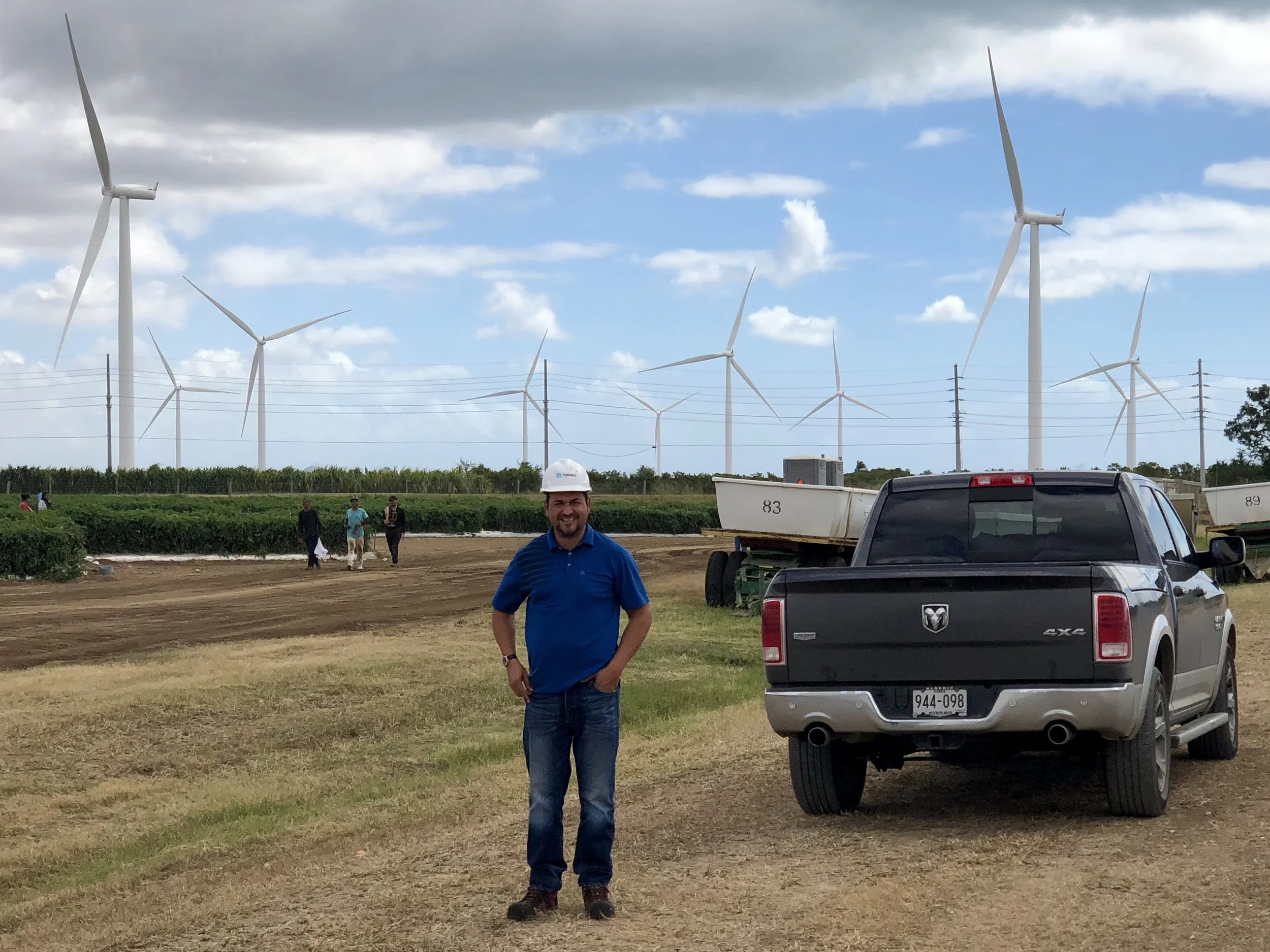
Behind my host Rueben Rivera of Pattern Energy and next to his truck, is a white trailer, which can be joined with other trailers to create a "train" pulled by a large tractor that can bring crops (tomatoes, in this case) to market.
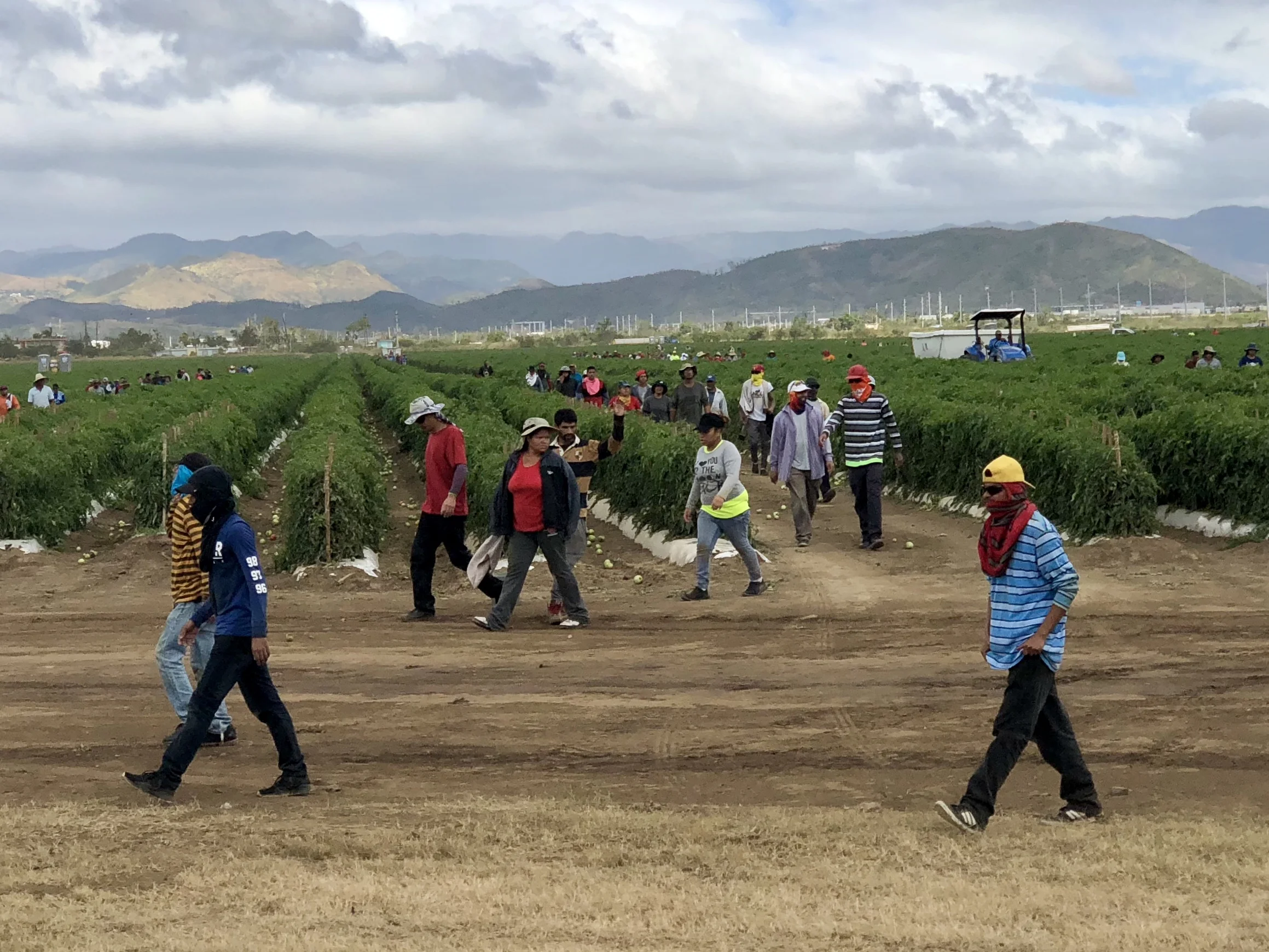
While Rueben and I toured the farm, workers came in from the tomato fields for lunch. The Santa Isabel Wind Farm creates hundreds of sustainable jobs, primarily through agriculture. Interestingly, Ruben Rivera studied agronomy in college, even though he is now an operations manager for the wind farm. It was a pleasure to watch this capable man in an environment that aligns so closely to his values, way of life and skill set.
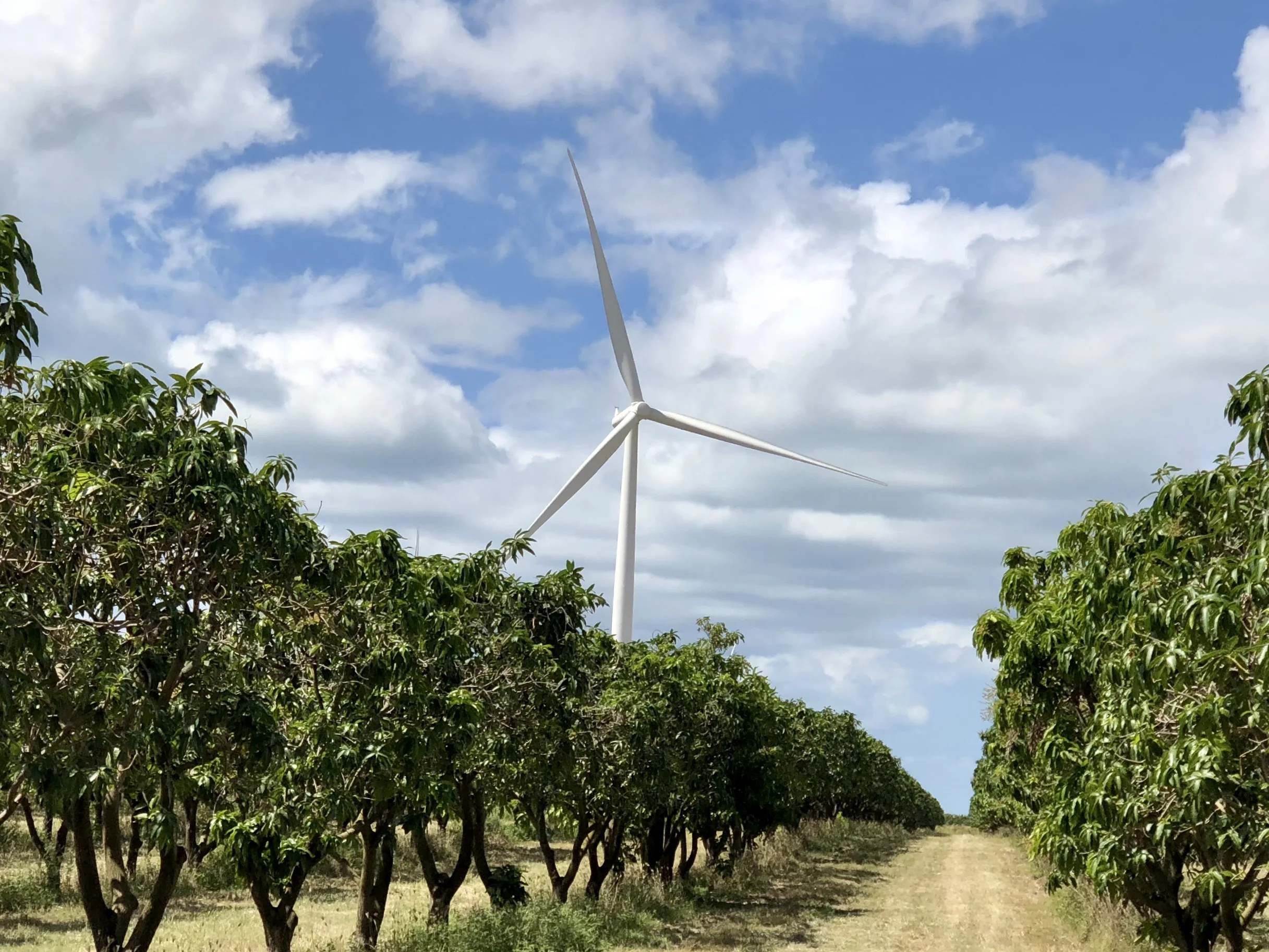
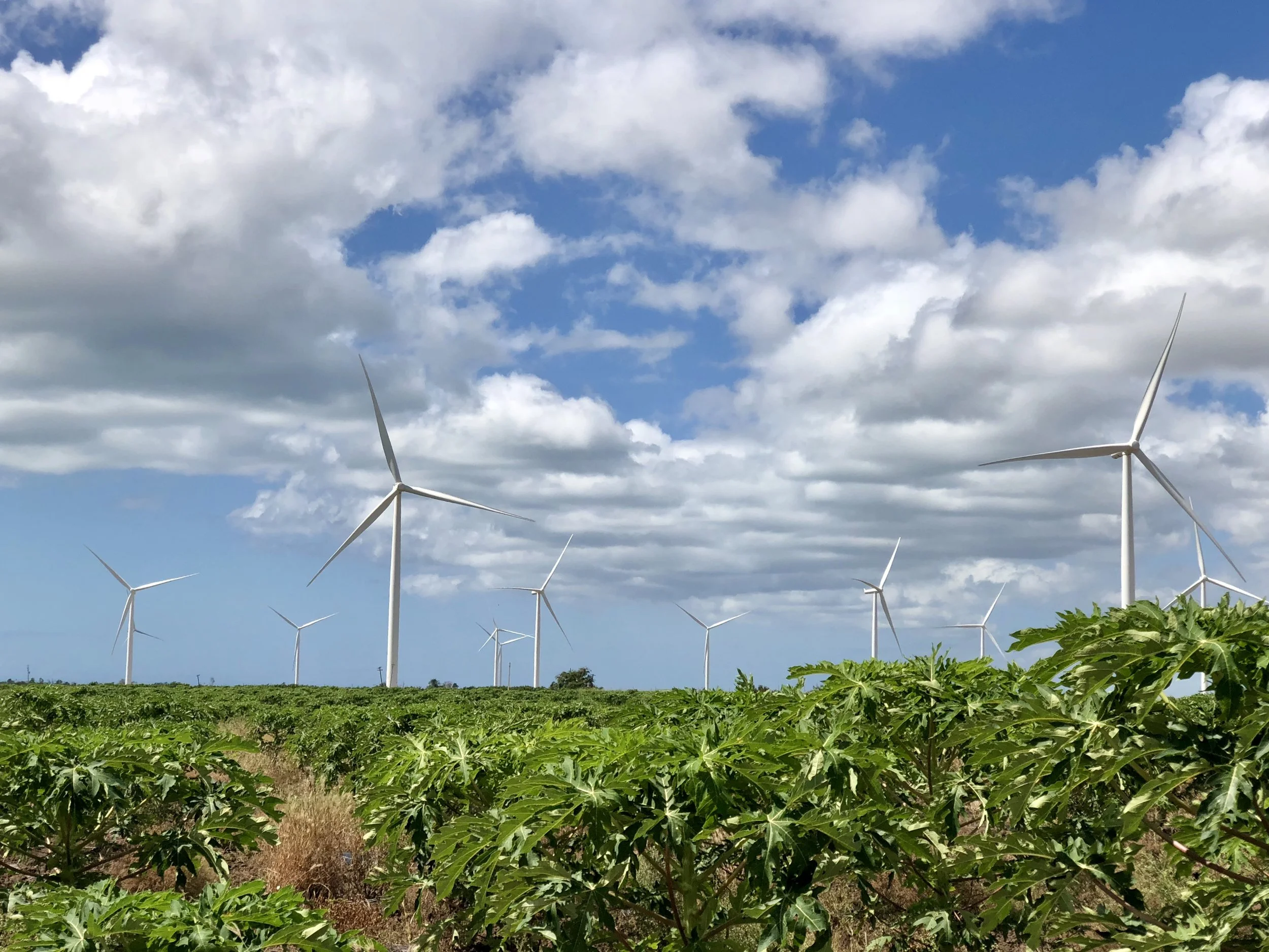
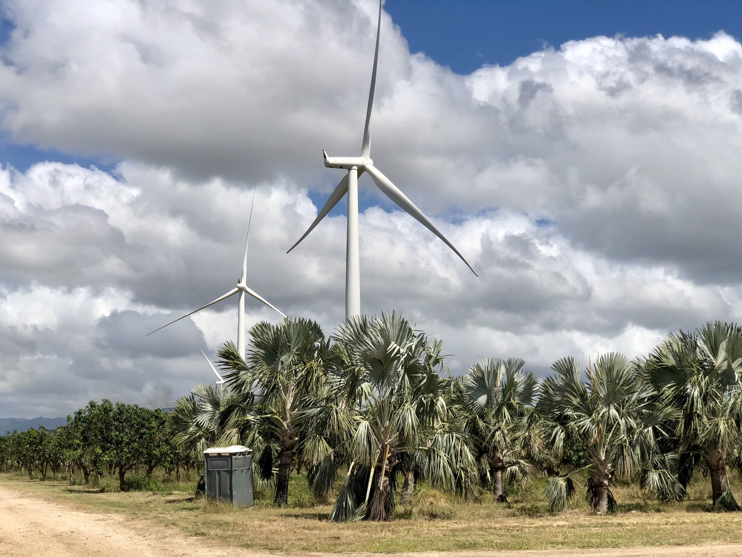
As we drove past the tomato fields we entered mango and papaya orchards. I cannot express how fulfilling it was to see how a clean source of energy could be paired with intensive food production. And, for skeptical readers, I want to make it clear that I took some time to get out of Ruben's truck and intentionally stand near a turbine while I listed to the white noise of the rotating blades. I have also stood near fracking pads, and I can assure you there is no suitable noise comparison. Anyone who complains about the noise of a wind turbine has never listened to an oil well or a fracking pad. Oil wells are irritating. Fracking pads are deafening. Wind turbines are neither.
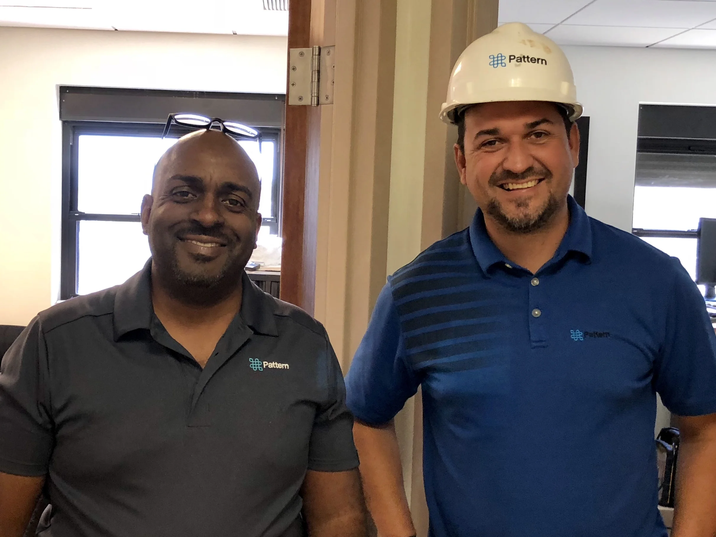
These were my capable and warm hosts at the Santa Isabel Wind Farm, Carlos Roman and Ruben Rivera, respectively.
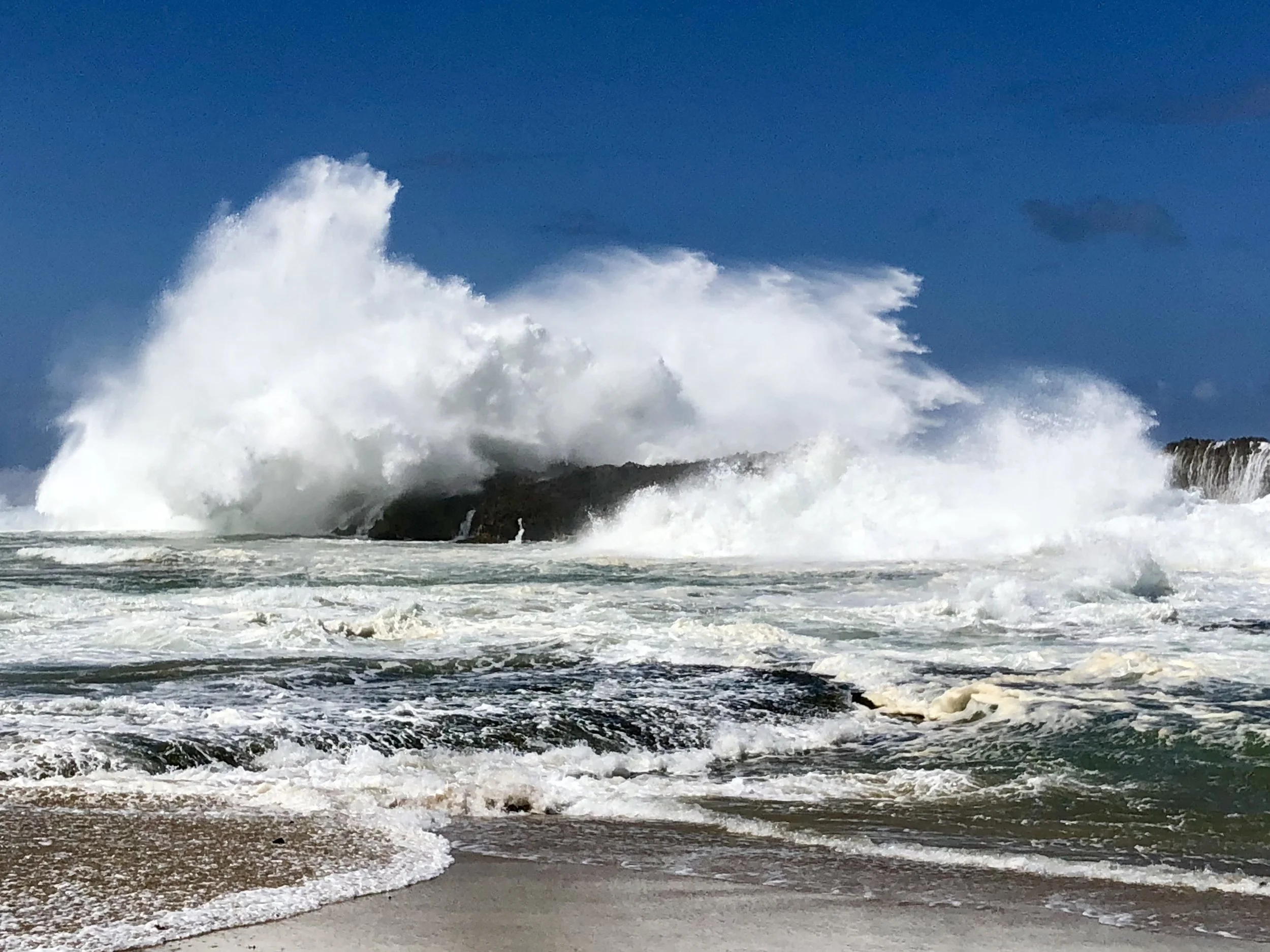
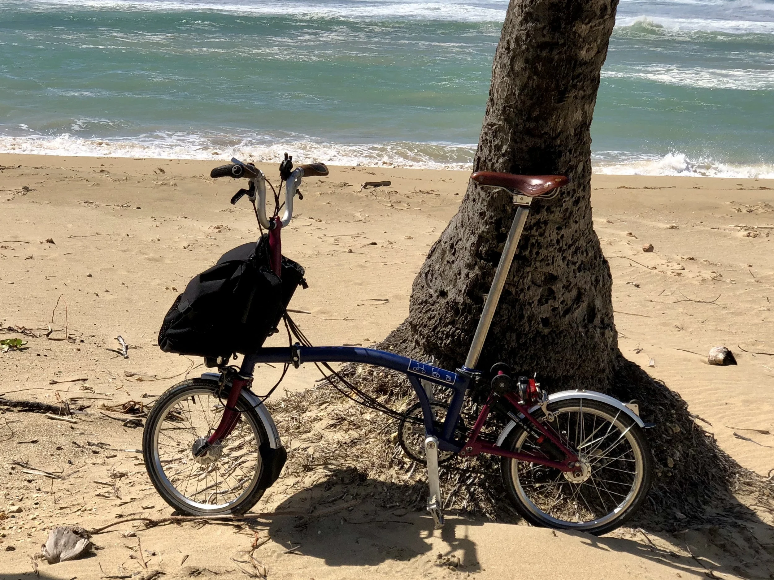
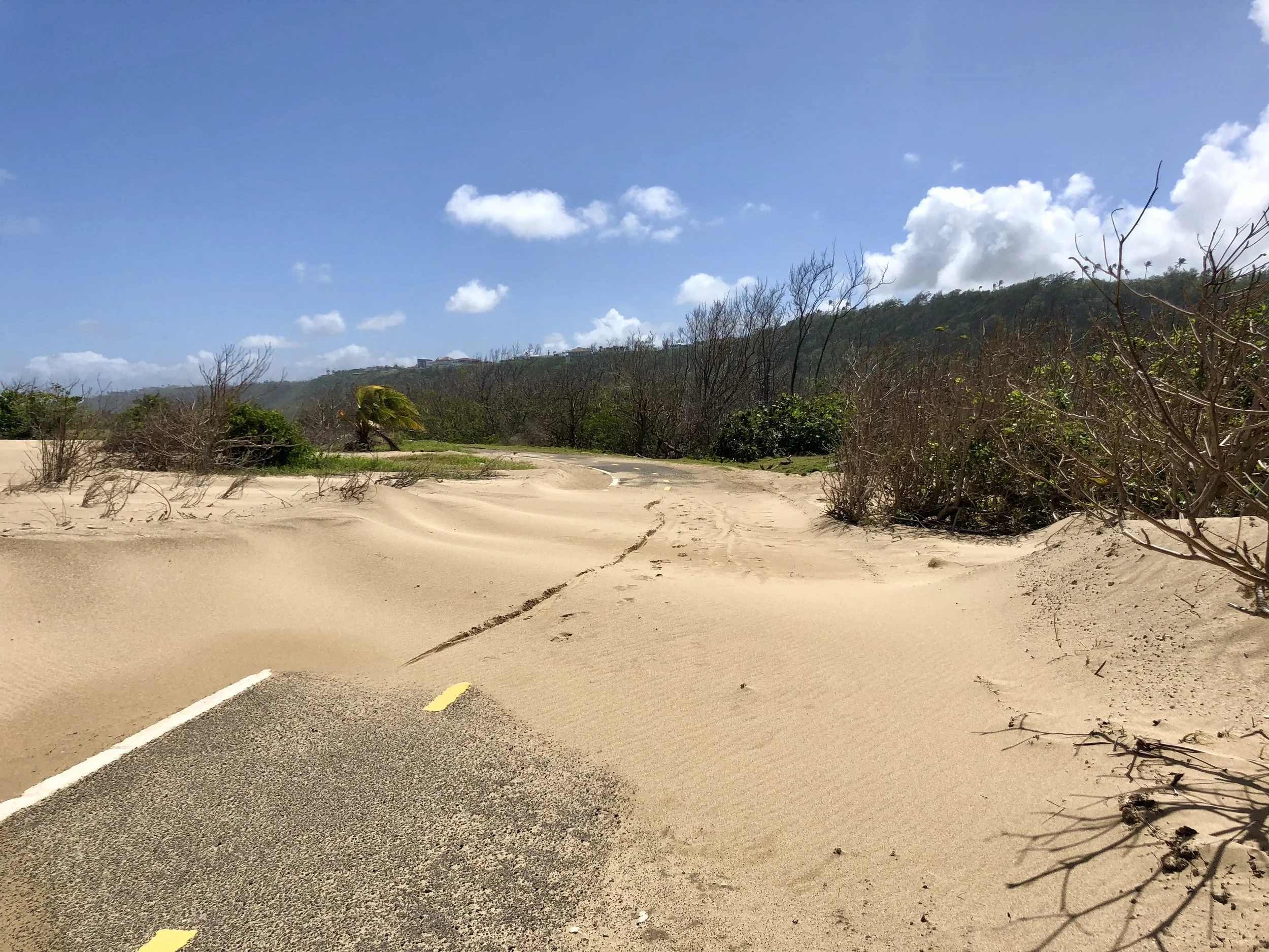
All good things must come to an end. These last photos were taken west of Quebradillas on the northwest coast, where in spite of obvious hurricane damage, the beaches are spectacular. I spent my last day biking along one of PR's few designated bike paths. And although I had to contend with a ferocious wind from the east, and dodge sand dunes altered by the hurricane, I was happy to be warm and sunbaked.
I recommend you go, if you can.
Puerto Rico Se Levanta, PR post Maria, Post 2
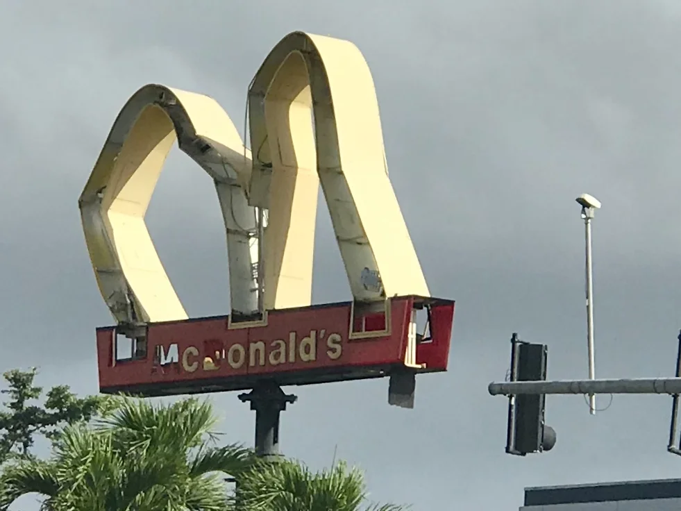
A MacDonald's sign on Roosevelt Ave in San Juan.
Martin Luther King Day is widely celebrated in Puerto Rico. King came to the island twice to deliver speeches, and The King Center contains several written exchanges between Puerto Ricans and King, including a letter from PR's Secretary of Education about race issues in Puerto Rico. This letter explains to King that racism in Puerto Rico is the product of an imposed colonial system with a quote that says it all, “In the United States, a man’s color determines what class he belongs to; in Puerto Rico a man’s class determines what color he is.” (from Latinorebels.com)
Interestingly, slavery was not abolished in Puerto Rico until 1873, and with a significant caveat. Slaves were not emancipated; they had to buy their own freedom, at whatever price was set by their last masters. Former slaves earned money in a variety of ways: some by trades, for instance as shoemakers, or laundering clothes, or by selling the produce they were allowed to grow, in the small patches of land allotted to them by their former masters. (from Wikipedia)
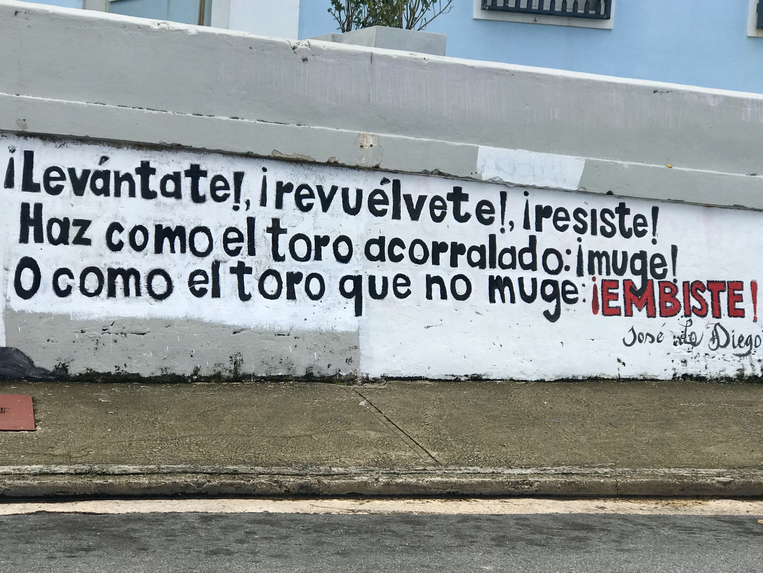
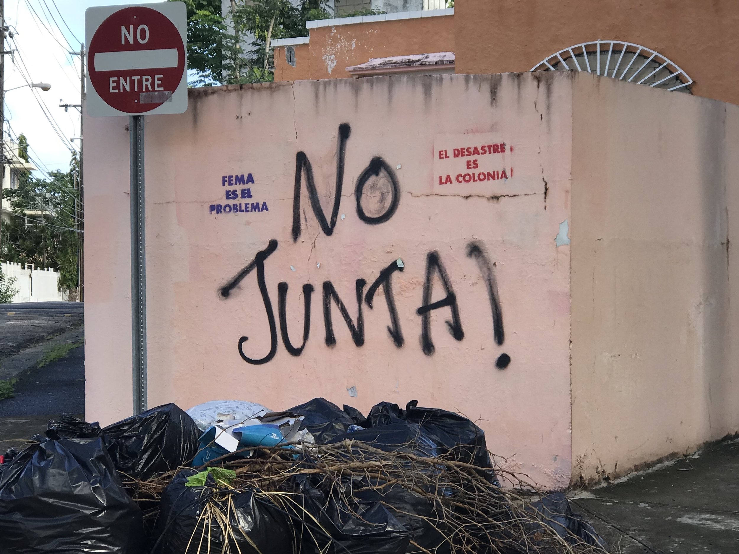
A wall in Viejo San Juan. There are three political groups here, two are mainstream. One wants statehood, the other is fine with the status quo of being an American Territory. The third more marginalized group wants independence. This sign is representative of the third.
I had Monday free from Spanish class because of the MLK holiday, so I decided to take an overnight trip on Sunday to Fajardo, a beach town on the northeast coast of the island about 50 miles east of San Juan. I got there by renting a car because I didn't feel secure about cycling that far along the coast while struggling with of hurricane debris and electric utility trucks. On Saturday I had ventured east about 15 miles on my bike, and although the coast is beautiful, cycling in PR right now is quite challenging. Of course, it is also very fascinating. How could it not be?
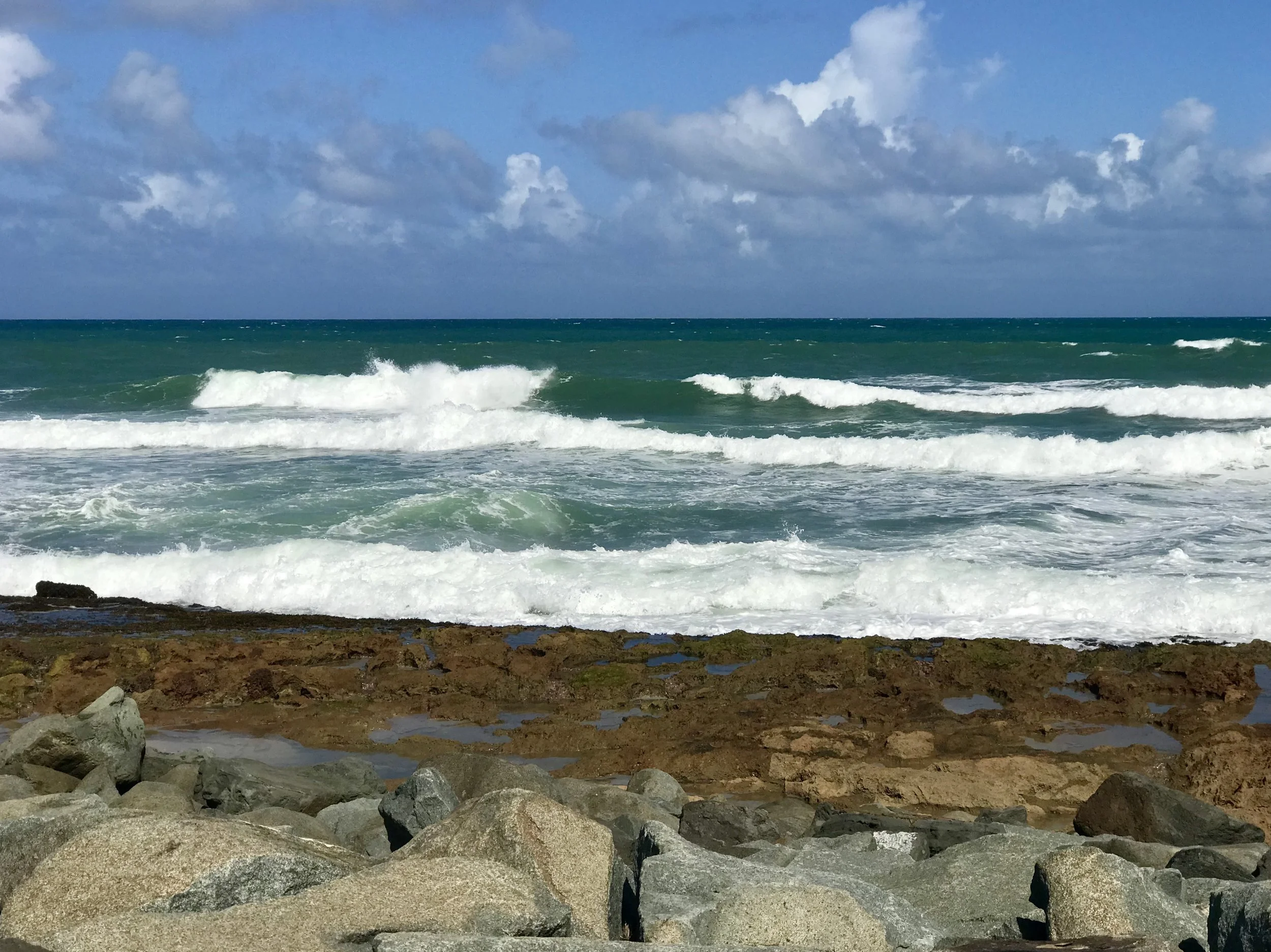
Typical view on the Océano Atlántico.
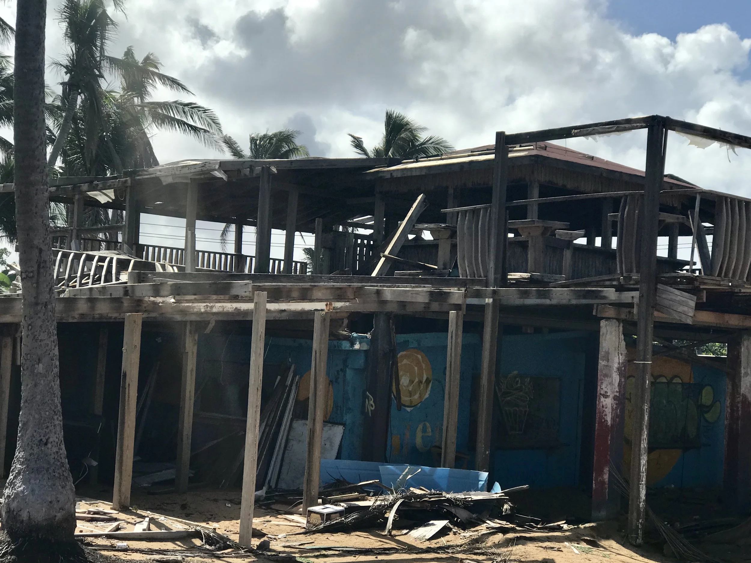
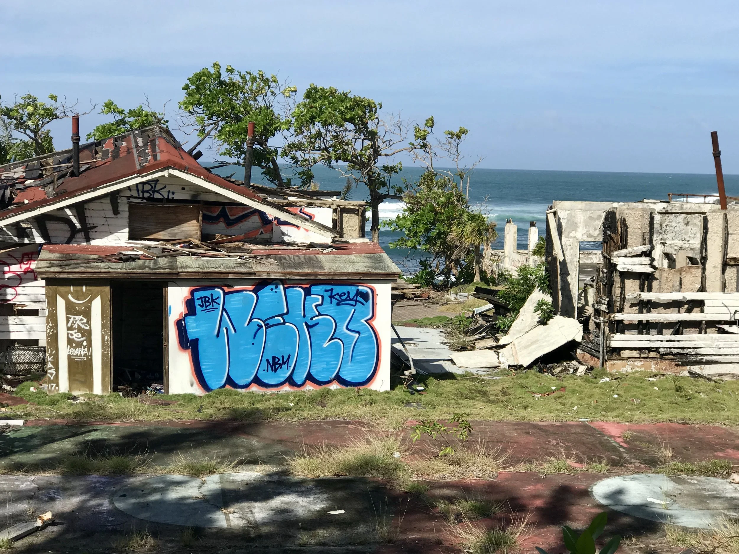
Remains of a house near the beach at Punto Vacea Valega.
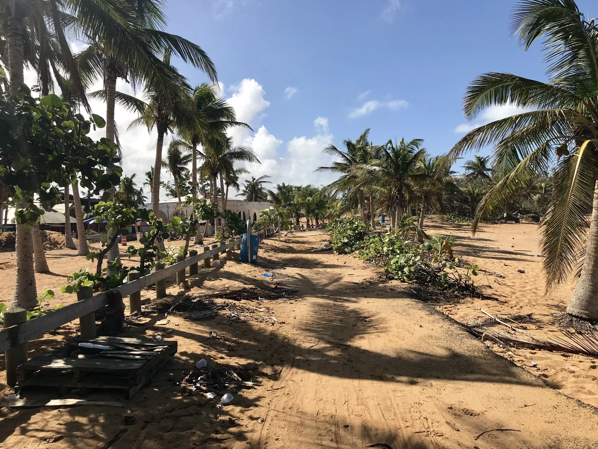
Sand covers an asphalt bike path.
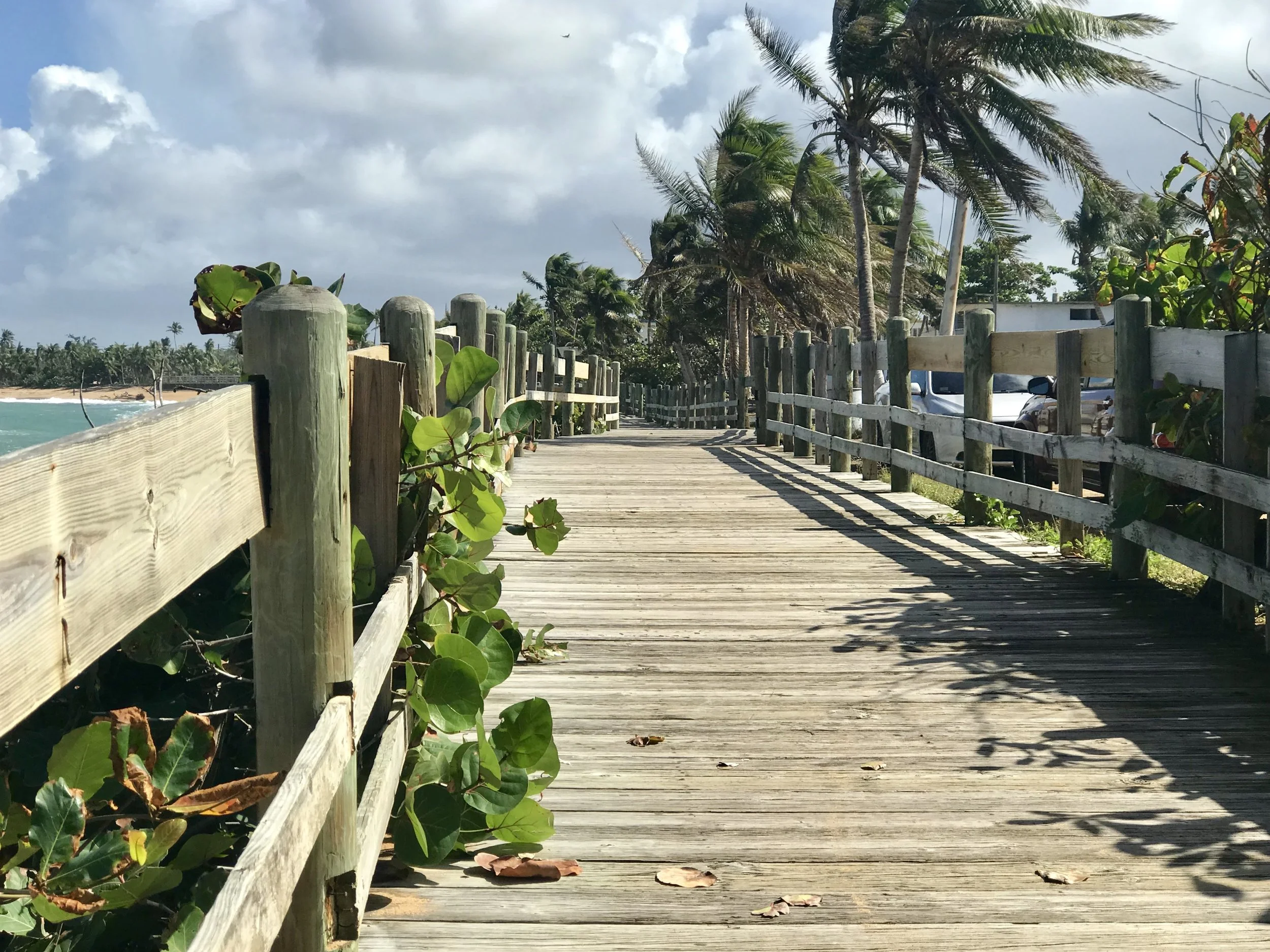
The coastal area east of the San Juan airport is known for a 12 kilometer designated bike path that follows along the beach and into an adjoining rain forest on asphalt, sand and extended sections of a timber bridge.
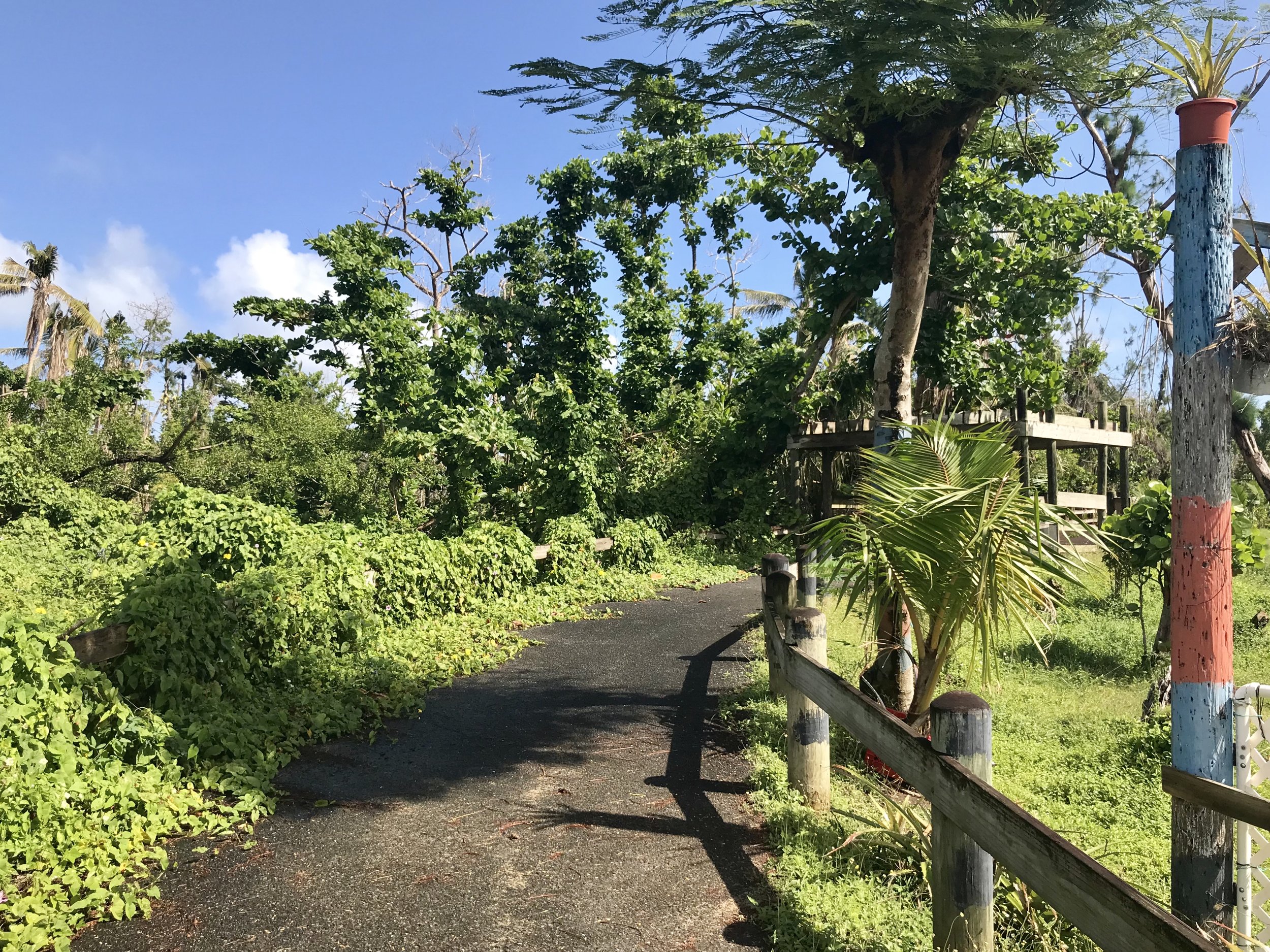
The bike path near Loiza.
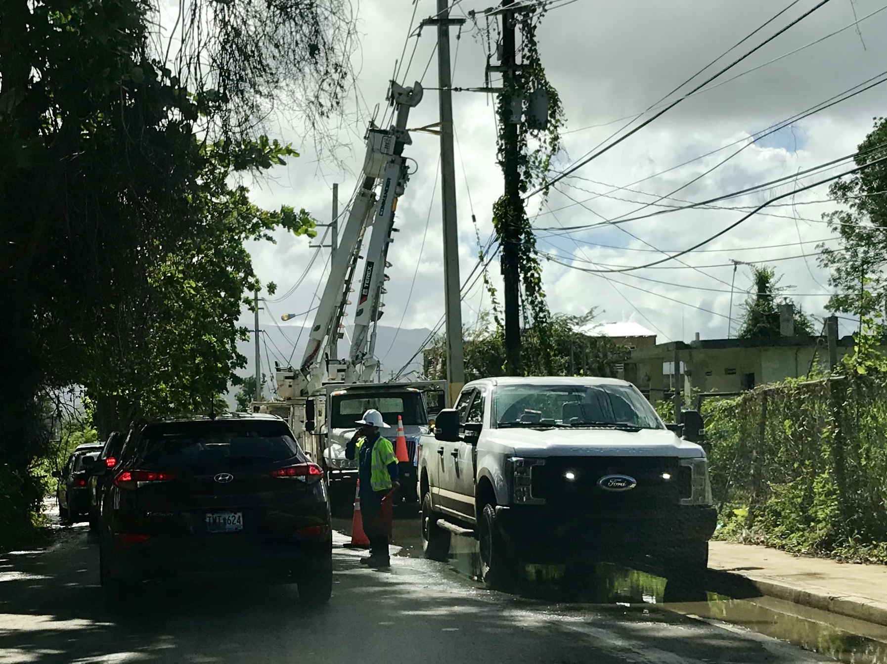
Electric utility trucks are everywhere.
Fajardo is a boaters town, with the largest marina in PR, great beaches, a bioluminescent bay and ferries to Vieques and Culebra. You may have read about Vieques. Along with Utuabo in the central mountains of PR, this highly prized tourist island still has no electricity. As for Fajardo, I was disappointed, but not at all surprised, to learn that there were no tours yet on the bay, and that I could not gain access to the two extraordinary peninsulas of protected land surrounding large lagoons, remote beaches and a lighthouse; they are all closed as a result of the hurricane.
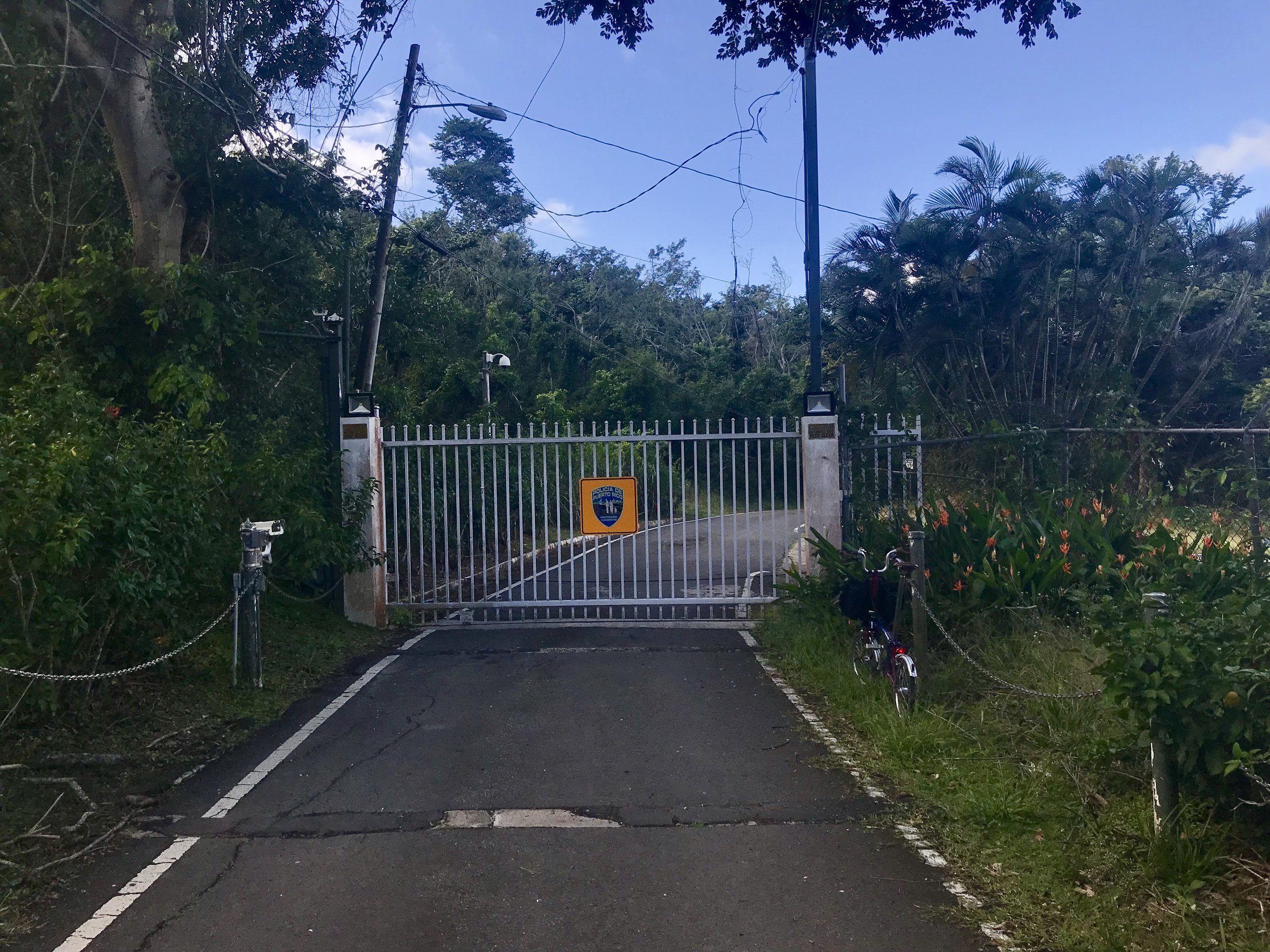
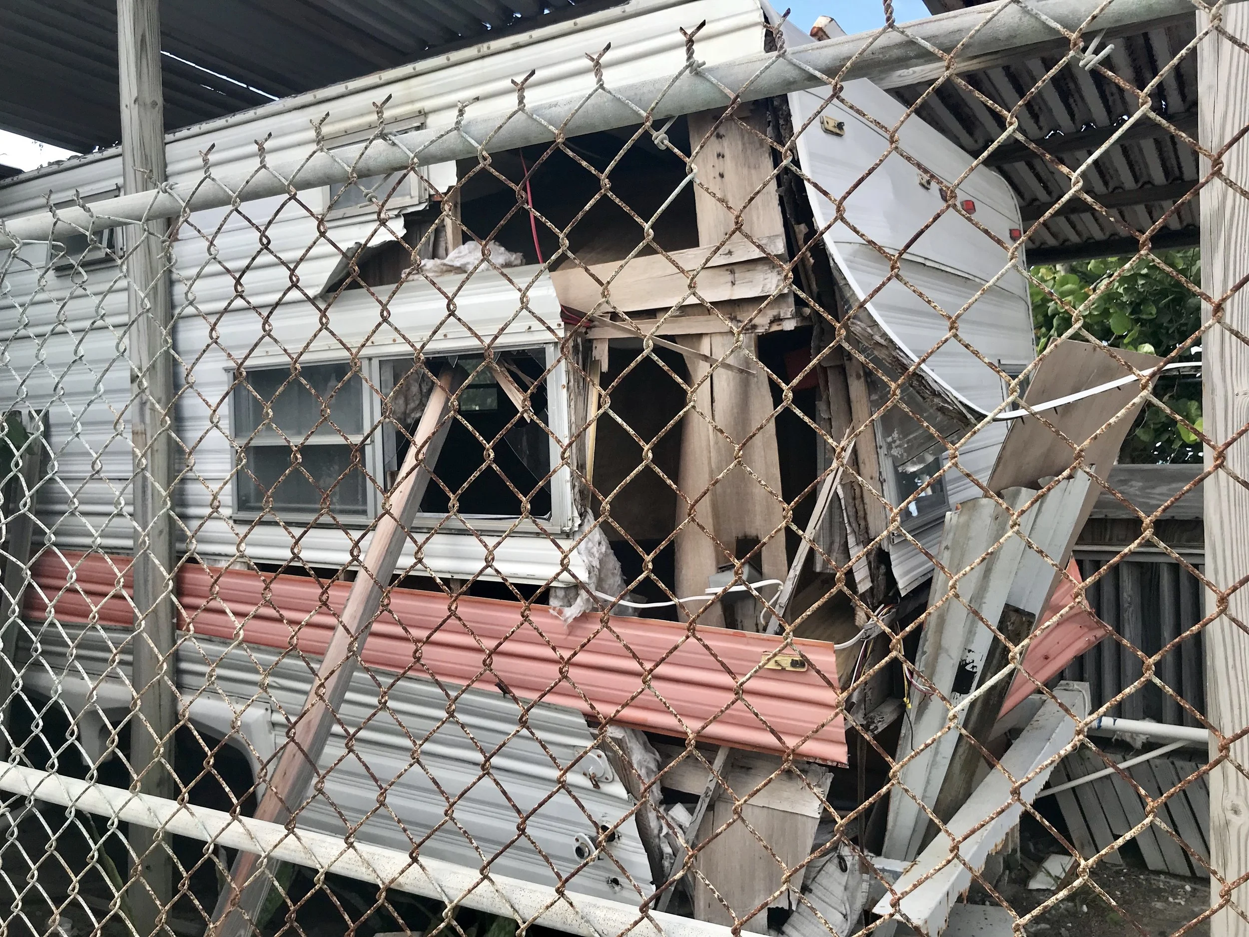
I was quite surprised to see several communities of small trailer houses across the street from the beach. It would seem likely that such structures would not do well in an extreme hurricane, yet they seemed to fare as well, if not better, than many larger buildings.
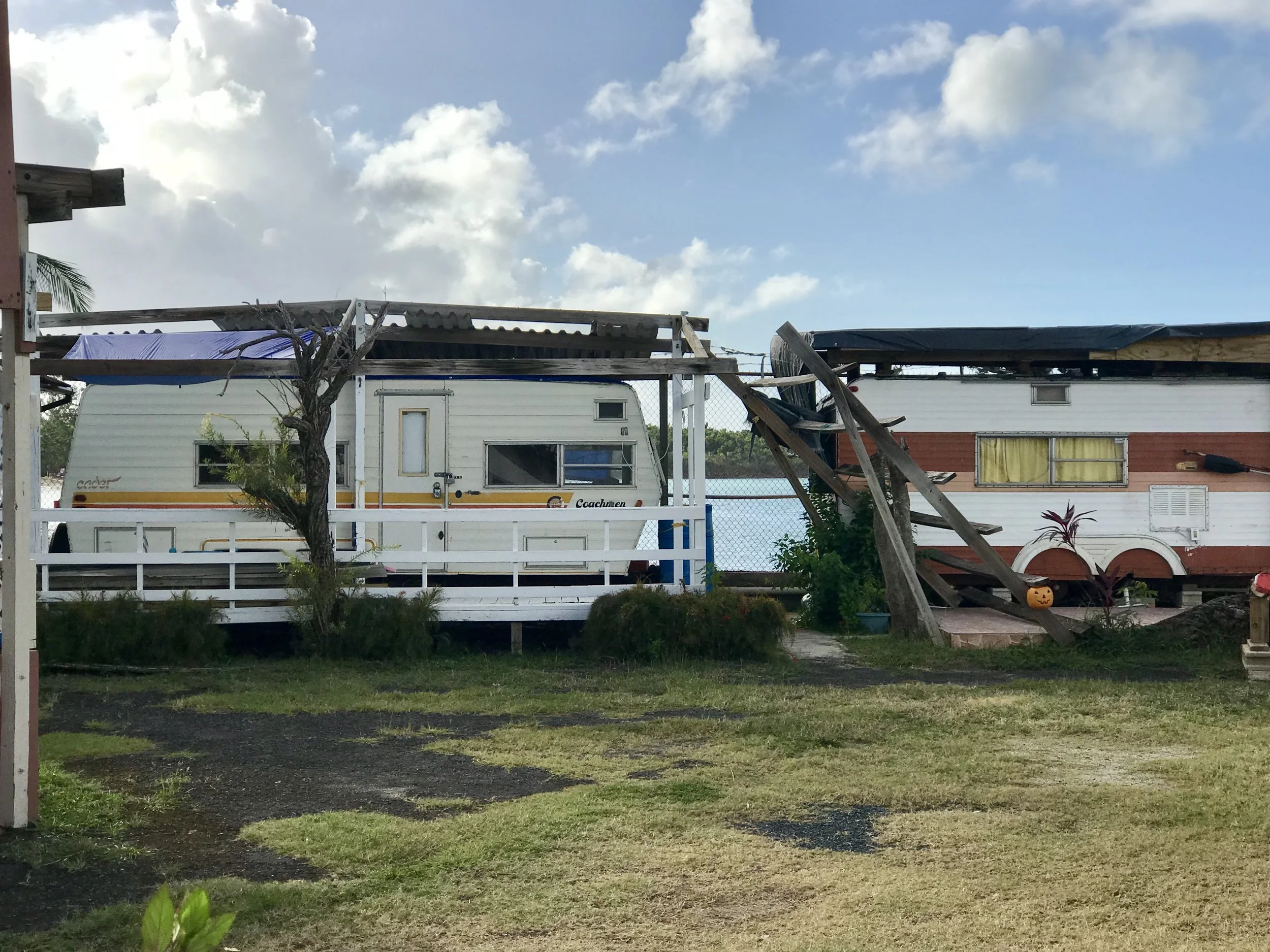
These homes are right on the beach and are currently occupied.
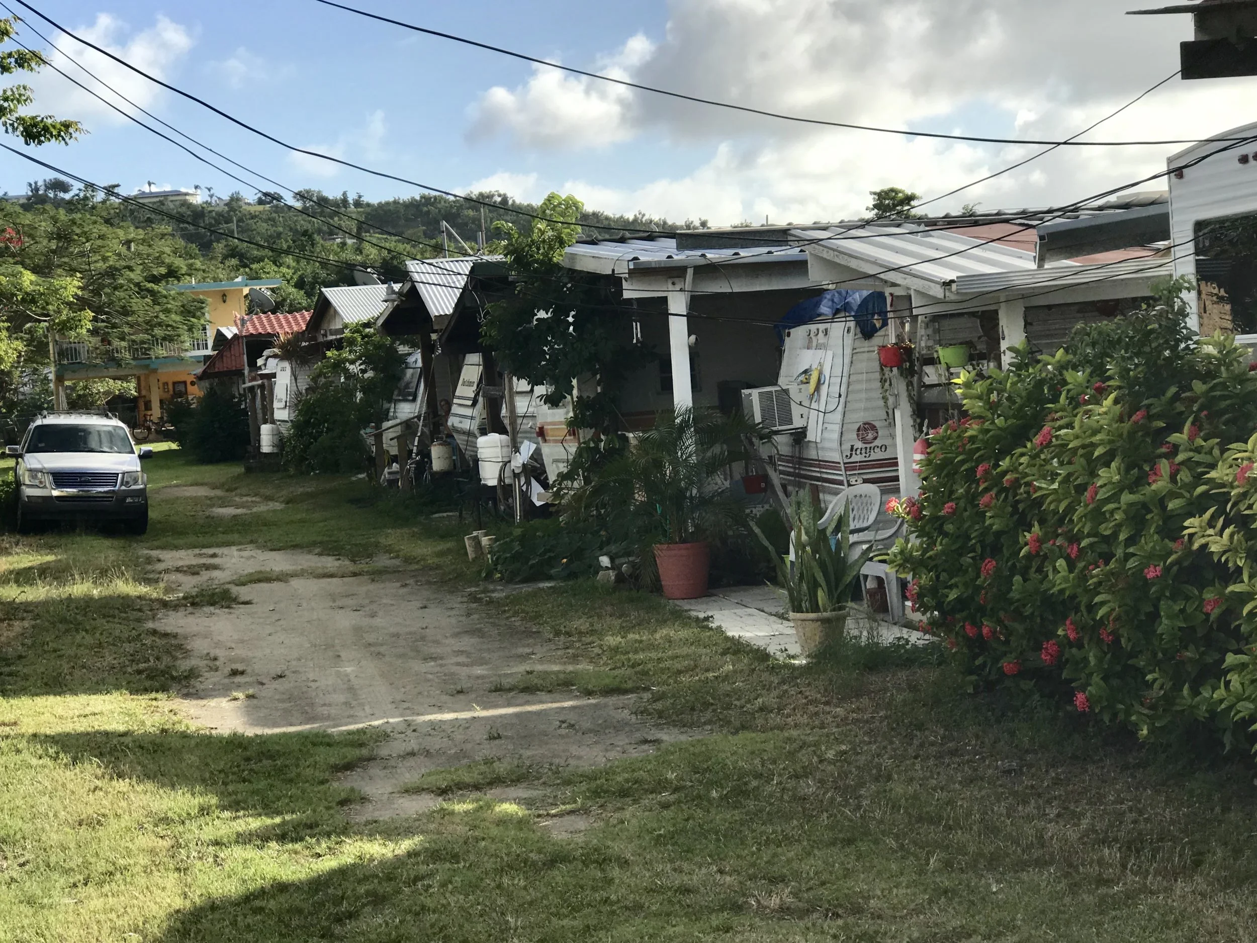
This neighborhood is across the street from the beach, and looked unscathed. I asked a resident if he had been there during the storm. He said no, but added that he was pleased when he came home to find things ok. Apparently his neighbors in an adjoining park didn't do so well.
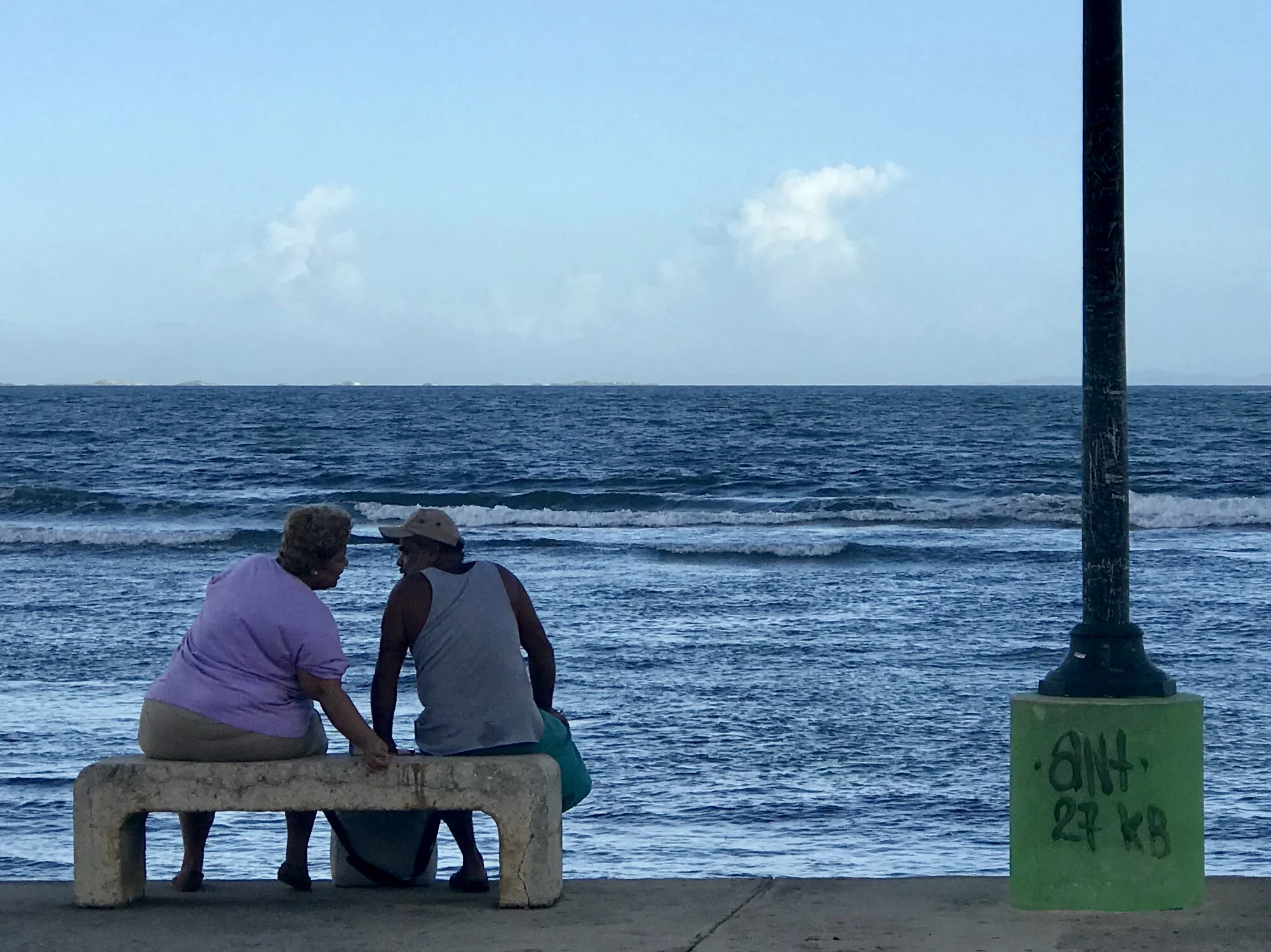
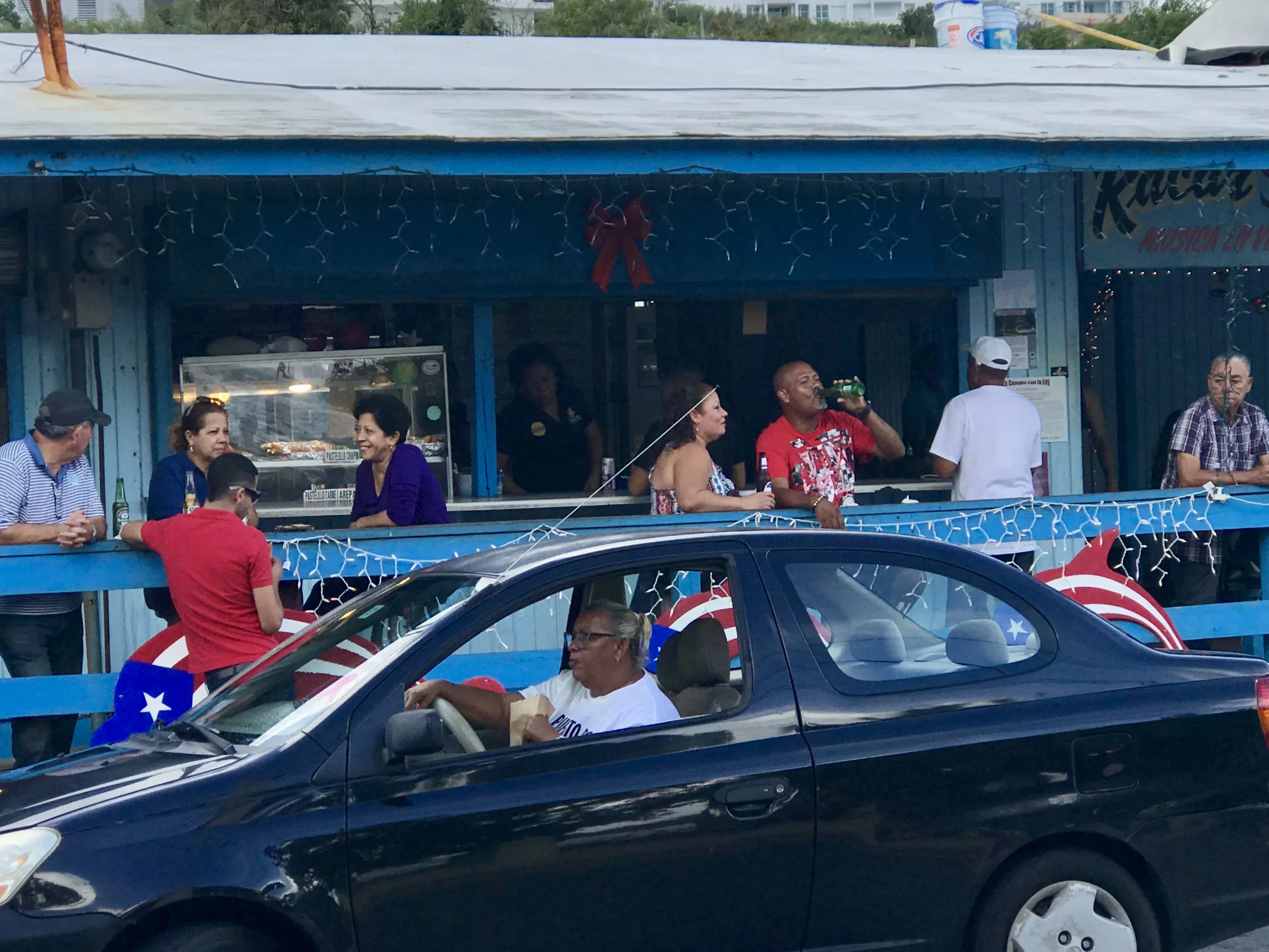
It was Saturday night in Fajardo, and the locals wanted to enjoy themselves, so they were out, especially at the beach in the center of town.
Nearby I found the Hotel Conquistodor. I rode into the parking lot in the back, and in spite of some "No trespassing" signs I decided to take a closer look at a boat in a small lagoon that looked beat up. A security guard flagged and down and admonished me for being on private property while making it clear that the Hotel would not appreciate negative publicity. His exact words were, "Be a good boy."
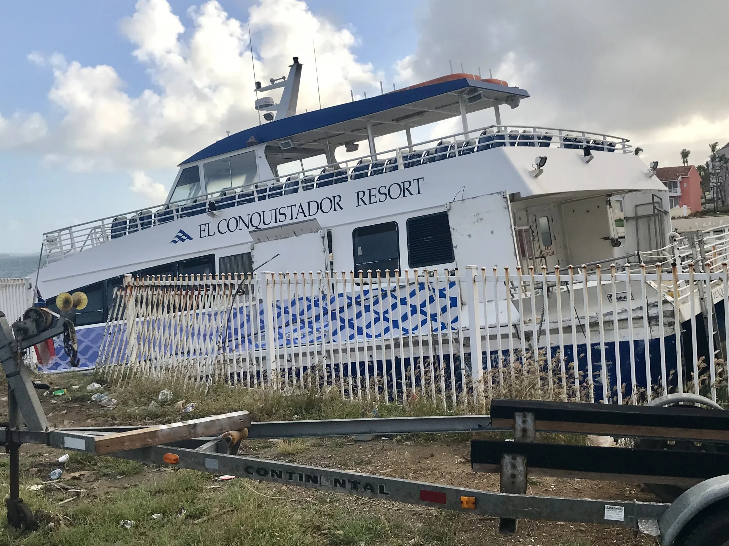
I have some sympathy for what I think he was getting at. The truth is that not only can Puerto Rico support tourists right now, the country needs tourists to help its economy recover. (Maybe that's a new business model for our changing climate - "Post Disaster Tourism?") At the same time, the island is still recovering, and while amenities are plentiful in the San Juan área, many tourist sites remain closed to the public. It's a bit of a Catch 22 for everyone involved, although it will only get better as time goes on - at least until the next extreme weather event.
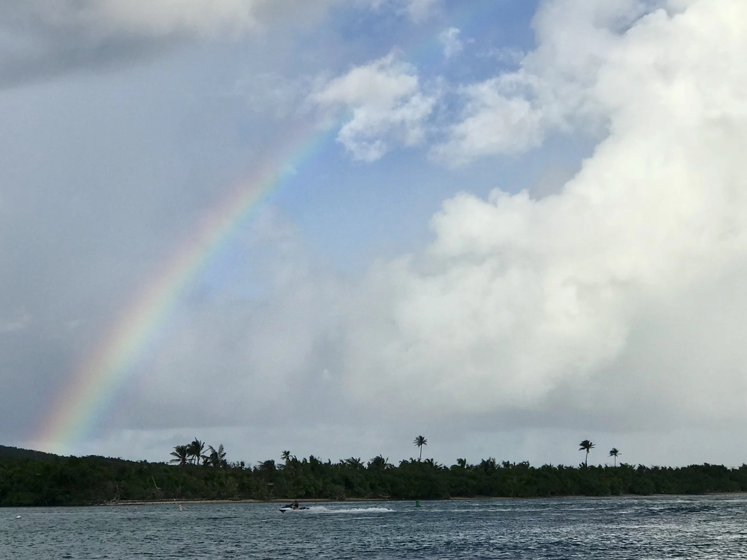
After a while of people and rainbow watching I biked back toward my room, stopping at an interesting looking outdoor seafood restaurant I had noticed earlier. The grilled salmon was fantastic, and the tostones (fried plantains) were superlative. I washed them down with several Medallas, a local beer. After my second beer a gentleman at an adjoining table started asking me questions about my folding bike. Maybe it was the beer, but I had a moment of abandon and began talking in Spanish, not really caring if I was sloppy as long as he could get my gist. In time, I learned about him - he was a retired nuclear engineer. He had attended Columbia and his entire career had been in the states. He told me this in Spanish as I realized he spoke perfect English, yet was making me speak in Spanish. Frankly, this is exceedingly rare in Puerto Rico. Although one cannot be of the culture, one can certainly function in PR using only English. I realized he was simply helping me to speak Spanish. He encouraged me to visit the Dominican Republic and Cuba. When I told him I was trying to keep up a blog about how climate change is affecting different regions of the Americas, he asked, "Why"? "What good will that do"? He was on his third beer by that time. After a moment he said, "What does hope mean to you? You know we won't make it. No one in power cares about poor people. Climate change won't be solved. So where do you get hope?" ...A moment passed. I told him what I really believe, "Because no matter how bad it gets, life will never be extinguished. That is the ultimate form of resistance. And that is what we can celebrate. Our connection to life. Our very lives. The act of living, no matter how it comes". He put his arm around me and said, "I like that answer". Then, abruptly he stood up. I could see he was about to leave. And he said, "Promise me you'll visit Utuado". I knew what he intended. Utuado is to Puerto Rico what the 9th Ward is to Katrina. A very poor section of Puerto Rico near the center of the country, it still does not have reliable electricity or water. Anyone who really wants to understand how future hurricanes will impact those who haven't created climate change should visit Utuado. I told him I fully intended to, but it won't be until I return.
He nodded, and then said one last thing: "Your country is dying."
Tal vez.
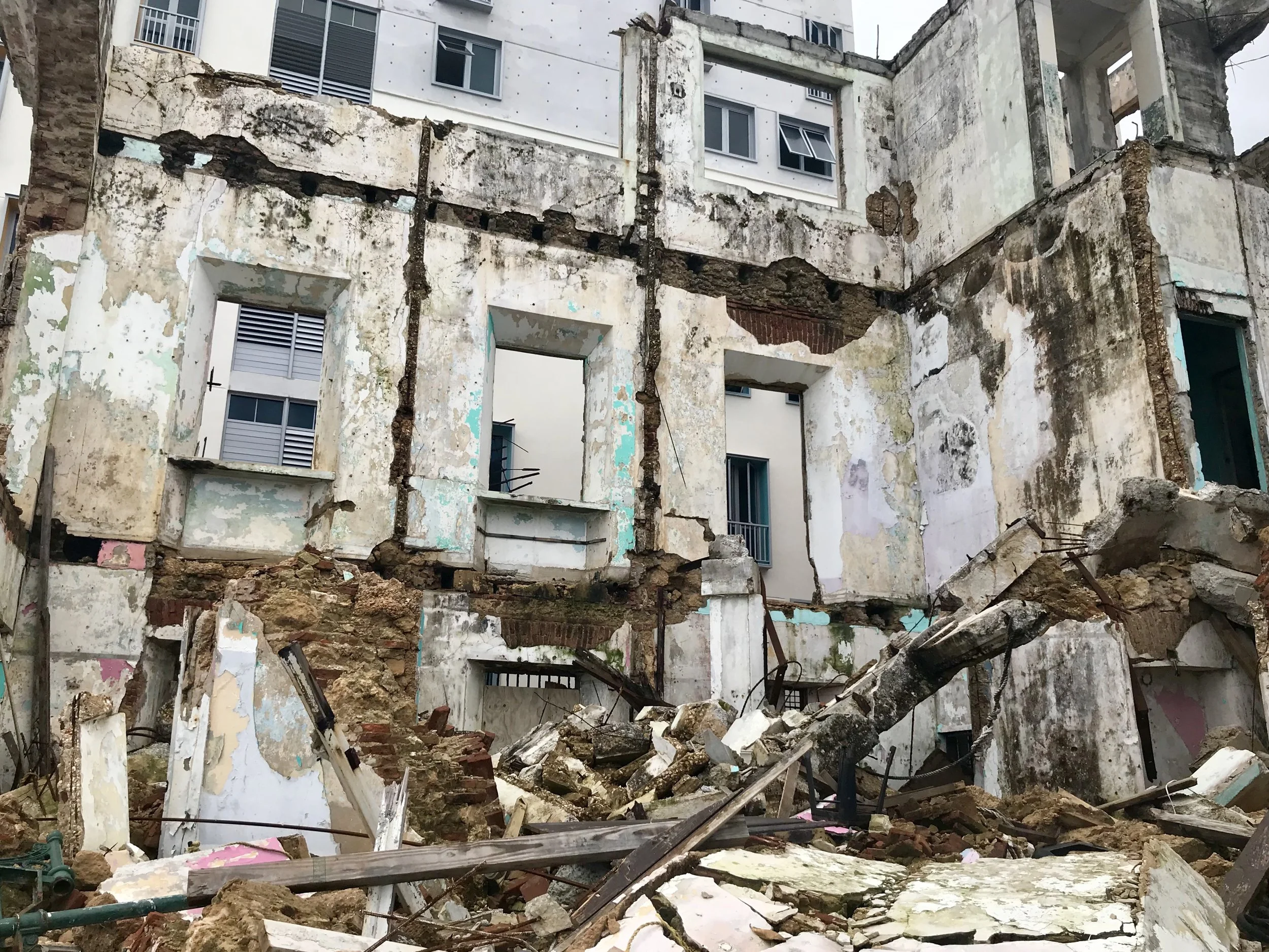
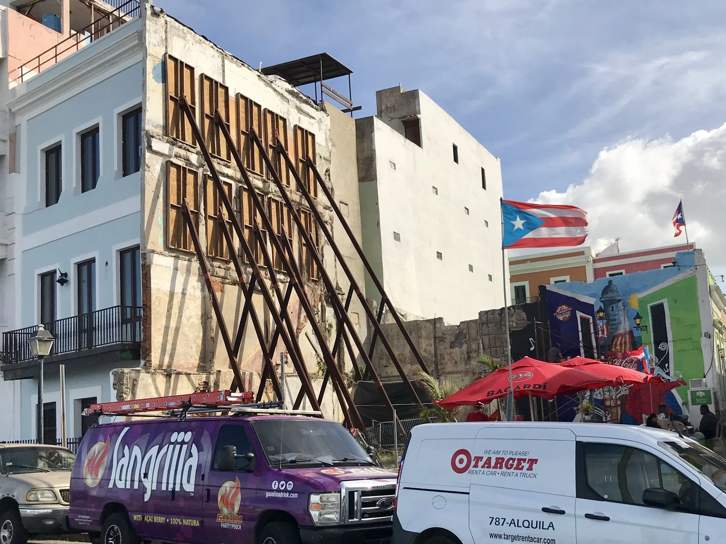
On Monday, after returning to San Juan, I biked through Viejo San Juan for another look. This time I was able to look a bit deeper. While the old town was incredibly resilient, I found one visually stunning exception. I am sure there are more.
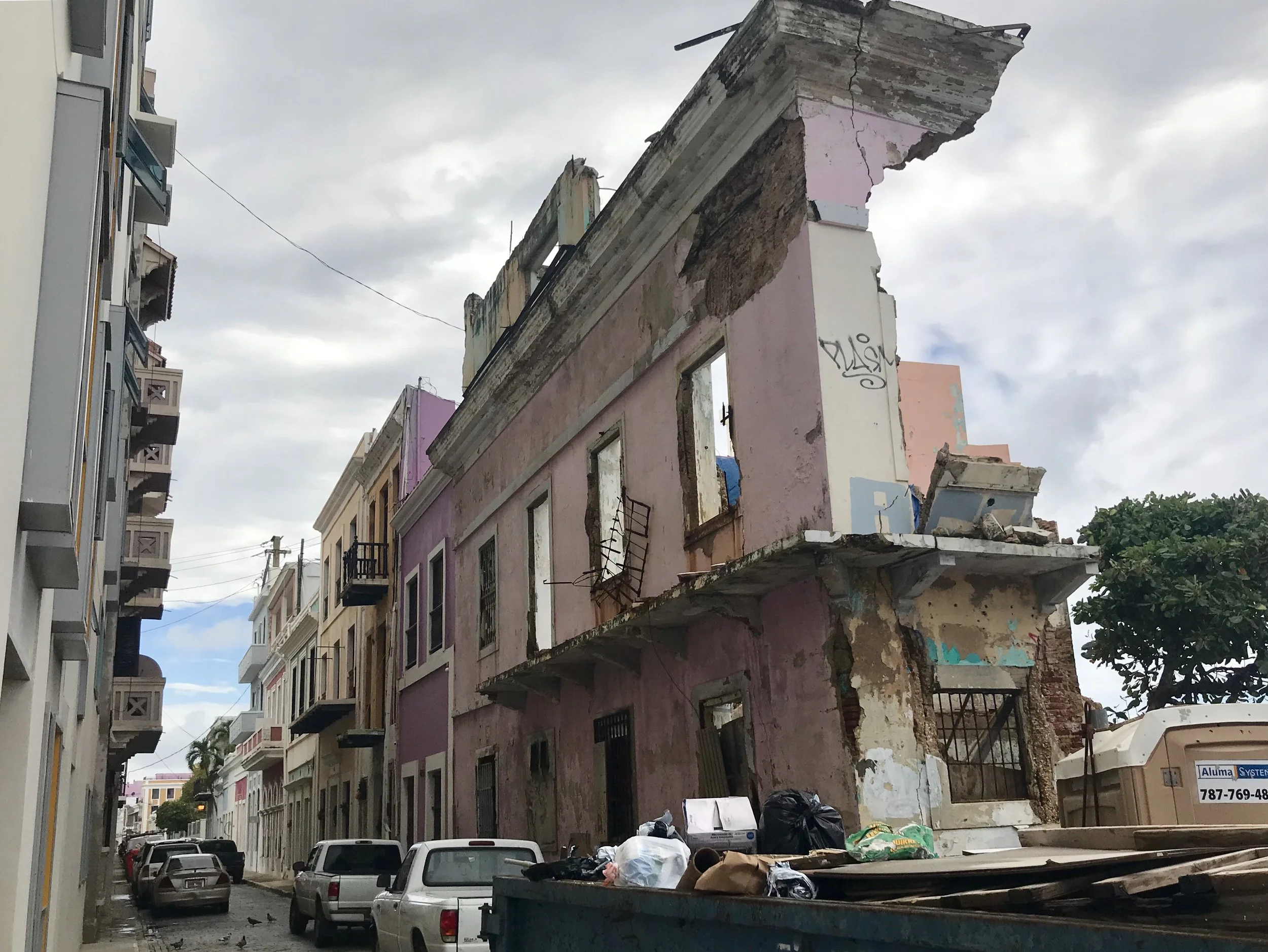
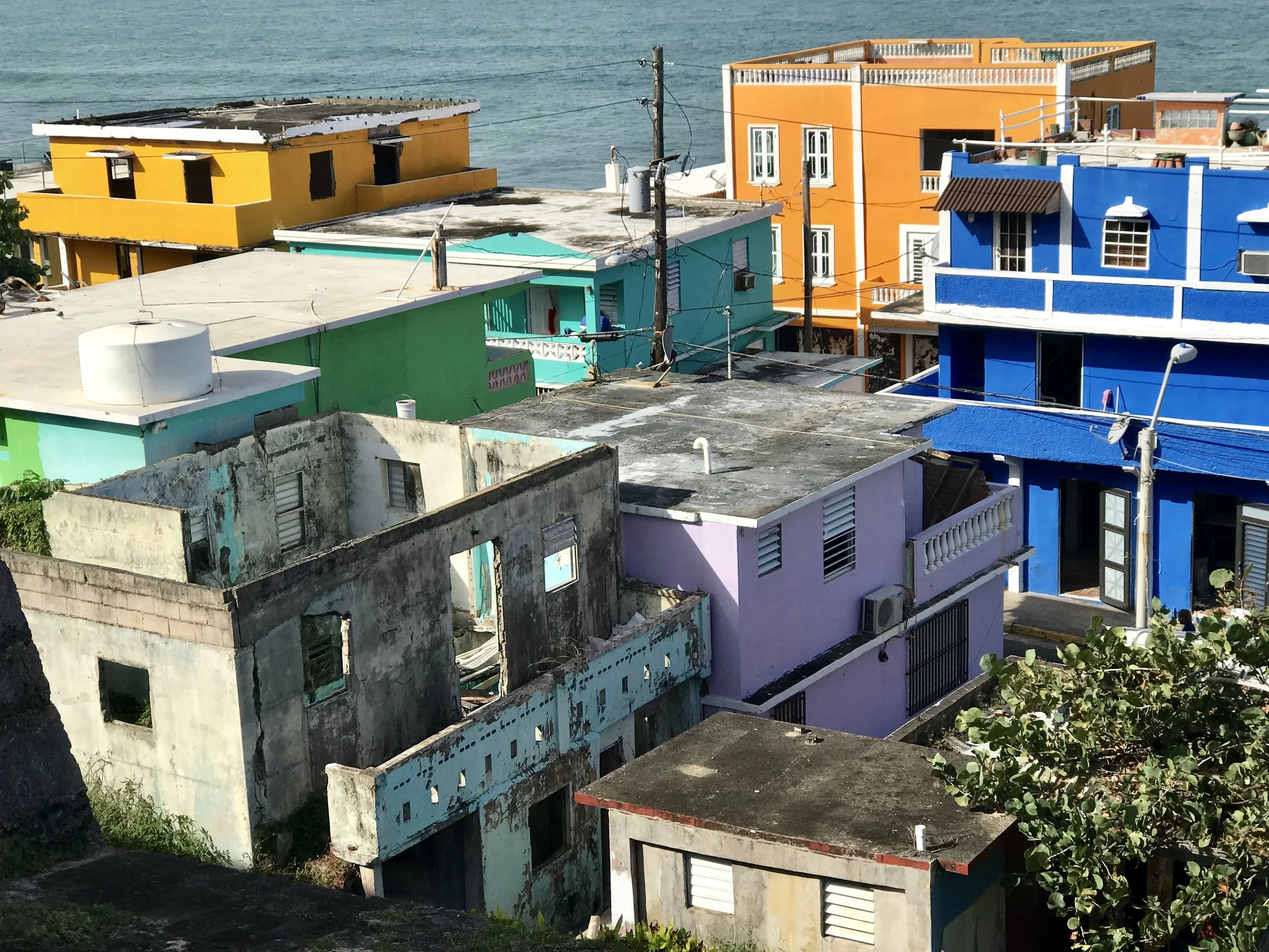
And then I discovered La Perla. Made famous by the extraordinarily popular YouTube video "Despacito", and the slightly older song by Calle 13 called "La Perla" featuring Reuben Blades, La Perla is a highly picturesque and very accessible barrio just under the north wall of old San Juan right on the Atlantic Ocean, making it incredibly exposed to hurricanes and storm surges. At one time it was a squatters community and was considered dangerous because of drug dealing and prostitution. It is still a rough place, but also now has a strong tourist appeal, especially among millennials. Many homes, bars, clubs, restaurants and cars there where were badly damaged by the hurricane. Electricity was not restored quickly, so the area is still in significant distress. It is also a visual paradise. In some ways it's a symbol of a significant side of Puerto Rico: gritty, vulnerable, resourceful, minimalististic, ingenious and highly attractive. Certainly this is part of the Puerto Rico One can get to know by being open and attentive. And as a symbol of popular boriquén (Puerto Rican) culture it is one I appreciate more each day. It's a rugged, sexy and resilient place. And it's very much still here, in spite of Maria. That gives me hope. Life endures.
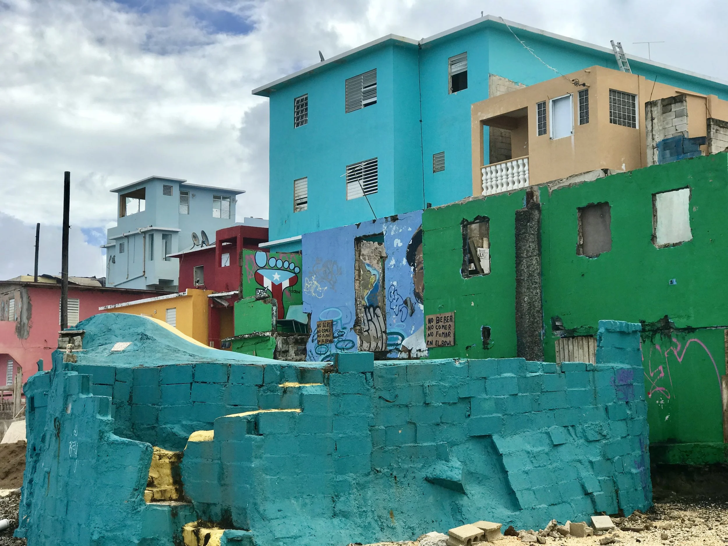
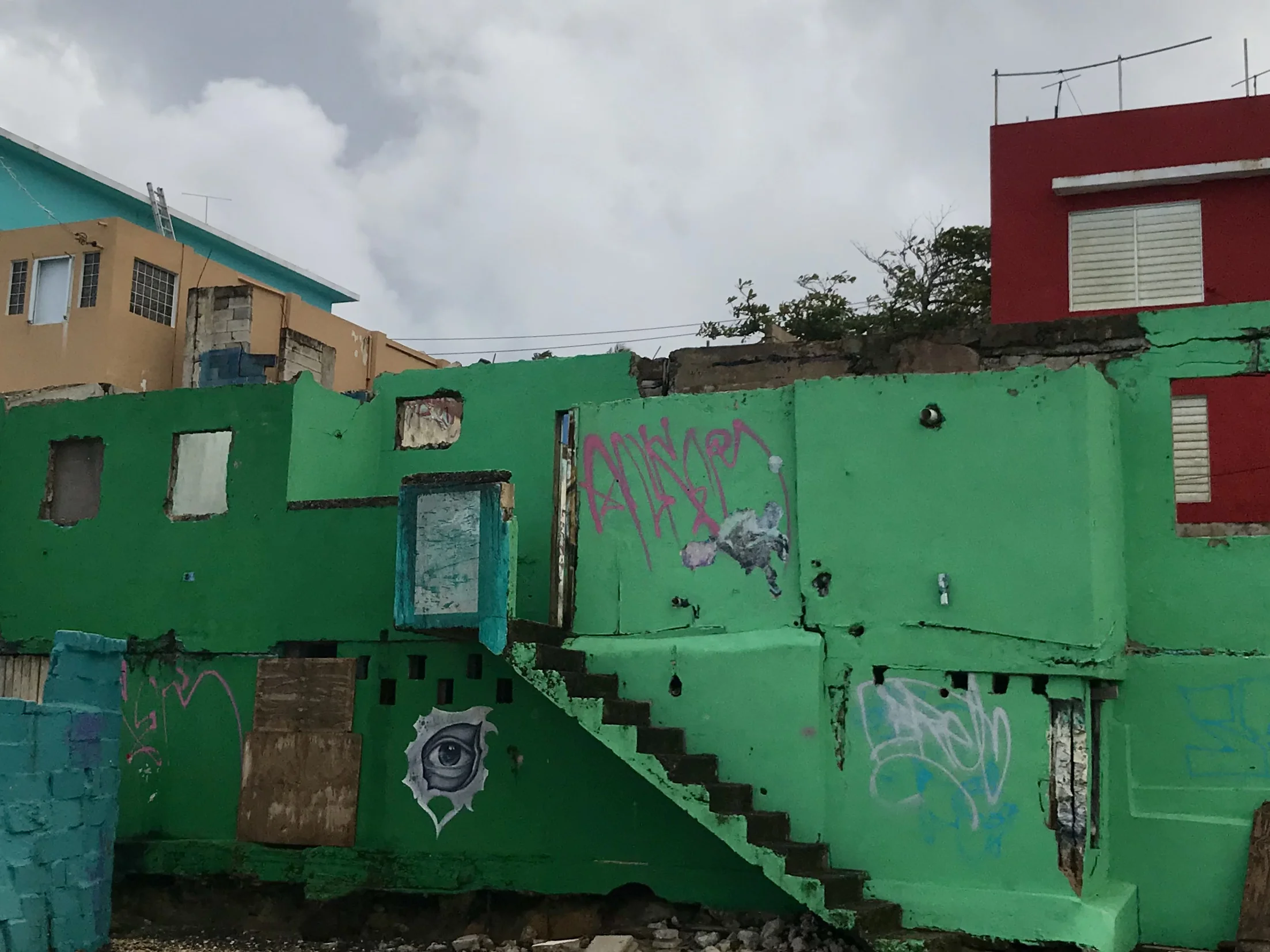
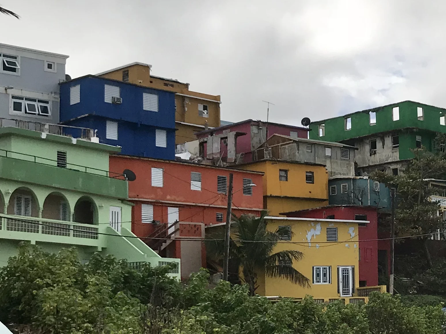
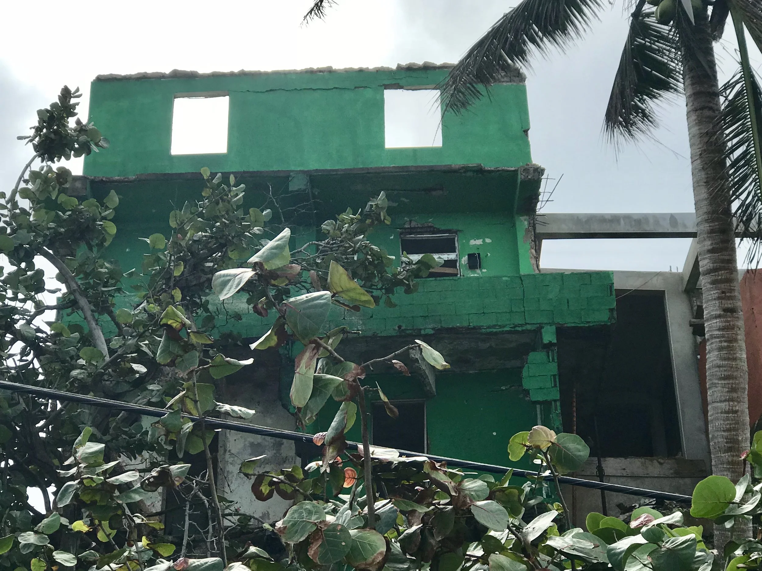
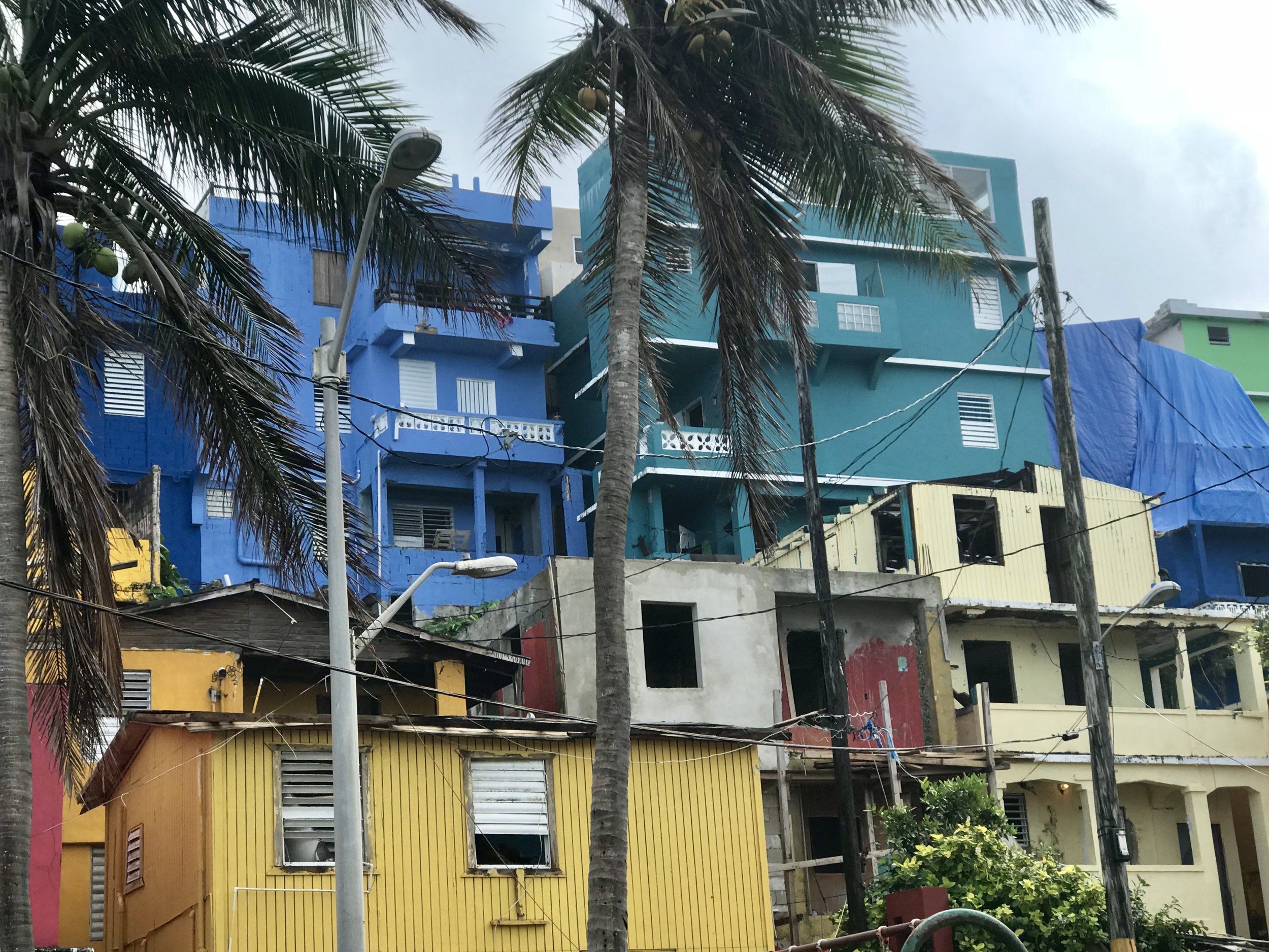
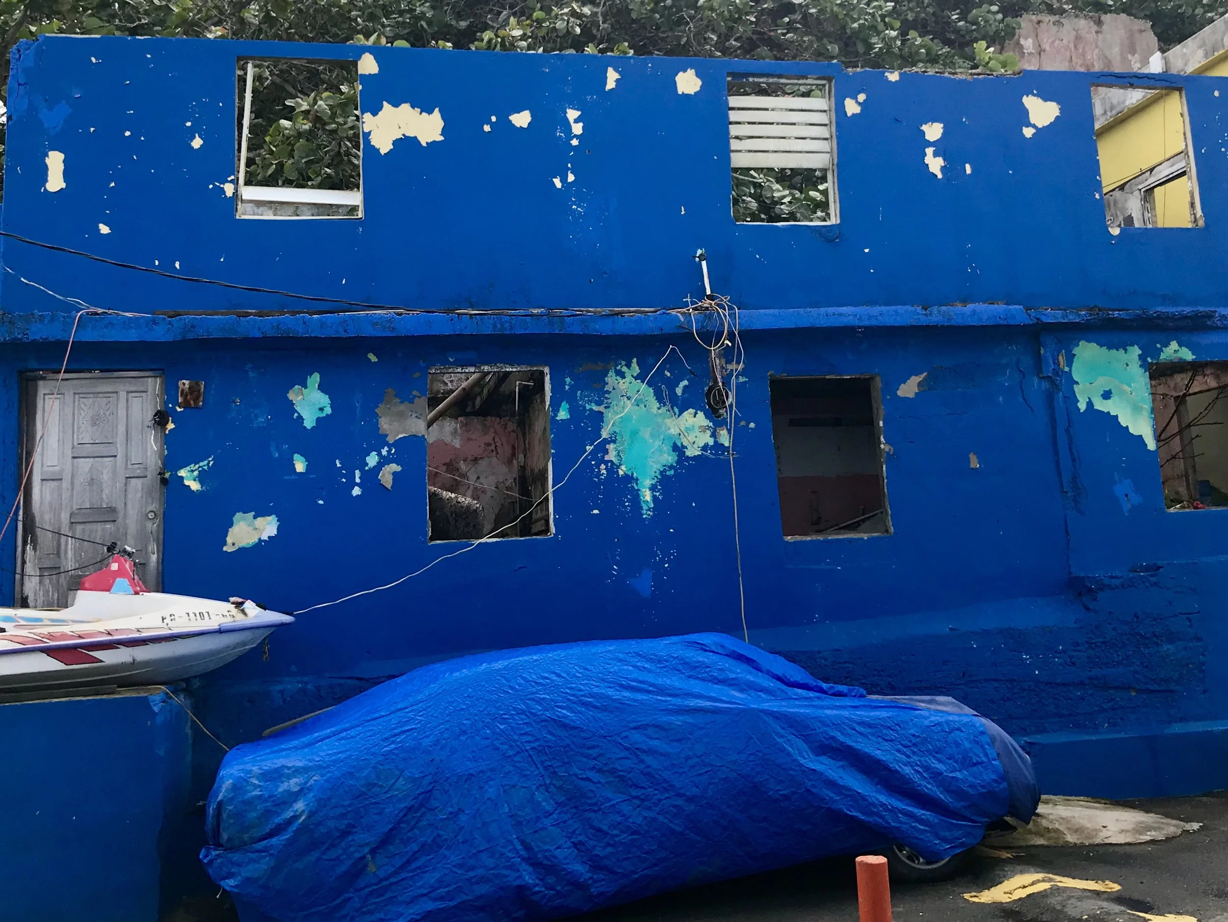
Here is a translation of the lyrics for La Perla (from the internet):
The Pearl
Hey, this is dedicated to all of the neighborhoods of Puerto Rico.
Trujillo! Dedicated to the neighborhood of La Perla.
Pocho! Tell Johana to make me some really good rice and beans.
A shout out to Jose; we'll catch you on your way down.
And you - what are you looking at?
I've had an attitude since I was five years old
My mama raised me with scolding and slaps on the mouth
Had gray hair mixed with brown since childhood
I'm the black sheep of the whole flock
And I grew little by little
Jumping from rooftop to rooftop knocking off coconuts
And even though I almost killed myself and beheaded myself
No one ever saw me crying or dripping snot
Always smelled good and had my hair combed
To look for a girlfriend with a pretty last name
Larita, my first kiss of love
The witch got married, rain with sun
Down there in the hole in the gap
Bouquets of flowers are blossoming
Colorful little houses with the windows open
Next door neighboors of the beach
I have everything; I don't lack anything
I have the night which I can use as a blanket
I have the best landscapes of the sky
I have a little refrigerator stocked with ice beer
A rainbow flavored snow cone
Pretty people surrounded by water
The deceased depicted on the wall with spray paint
And those who stay playing basketball
A couple of gringos who ruin my landscape
Been taking pictures since they landed
The police that shoot and go unpunished
Breaking into my house to get their paycheck
My mother was born here and so was even my great-grandmother
This is my neighborhood and I'm free like Mandela
Beware of the old school that it not catch you
Because it'll get you with a sandal or a broomstick
So don't give me that clown act
Because I come with the appetite of a laborer
To eat anyone who comes to take what's mine
I'm the Napoleon of the countryhouse
Hey! I dedicate this to those who work for low wages
To feed their little chicks
I love my neighborhood like Tito loves Jaimito
I don't fight for paved roads
Or for square footage or for a golden dream
I fight for a perfumed landscape
And for a good steak and onions dish
For my mother's smile which is worth a million
I fight for my grandmother rocking in her chair
I fight for some barbecued kebabs
And for how beautiful La Perla looks from a plane
Hey tell 'em!
Hey! This is for the innocence of Jonatán Román
The “Chilinga” from Argentina
We're firing up engines. Do it.
That laughter in La Perla I can hear in the stream
And from Pito to Callao and where there are little ones
I believe in neighborhoods with mothers who lived with similar purposes
And in the end they died without having taken any vacation
As my grandmother used to say: those were the cards dealt to the poor
Even the unborn work for this eternal as well as universal neighborhood
And the one who messes with my neighborhood won’t get along with me
I can use the night as a blanket!
I can see the lights in La Perla from Panama
I can use the night as a blanket!
Shining in Morse code and they beckon me
I can use the night as a blanket!
A road made of stars, our traffic light is the moon
I can use the night as a blanket!
I went out at seven thirty and am getting back at one
I can use the night as a blanket!
Girl, put some Vicks vapor rub on me like my mother used to
I can use the night as a blanket!
I will remember where I came from even in my sleep
I can use the night as a blanket!
The good man isn't afraid, isn't afraid of the dark
I can use the night as a blanket!
Ea! And I don't lack for anything
That neighborhood wall and this'll amaze you
Fifty years later, my name is still on it
There's no forgiving the idiot clown here
Your last name, your money is worthless here
The character of the person we hang out with is respected
We were born of many mothers but we're only brothers here
And that ocean in front of my house, I swear it's true,
Like the one in La Perla, even if I'm in Panama
And on the horizon I see a moving cloud drawing the face of the great Maelo Ribera
Celebrate this get-together man.
What do you make of this collaboration between Rubencito and Calle 13?
I can use the night as a blanket!
But that doesn't take care of the suspicious white man
I can use the night as a blanket!
The night doesn't absolve the lying verb
I can use the night as a blanket!
If you lost yourself, brother, find your self
I can use the night as a blanket!
Come to Panama and contribute to tourism
I can use the night as a blanket!
A thousand thanks Resident, a thousand thanks Visitor
I can use the night as a blanket!
Catch yourself a platform in Argentina; keep moving forward
I can use the night as a blanket!
With Lilia the lyrics are going up; let's see if they filter through
I can use the night as a blanket!
Mission accomplished; the minister retires.
Fear and Hope from NYC to San Juan, PR post Maria, Post 1
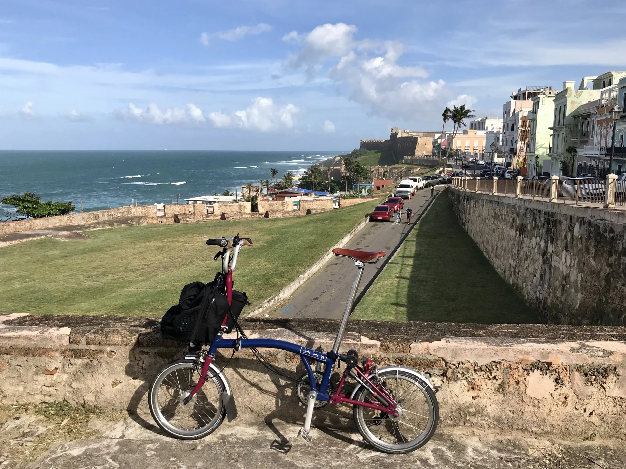
My folding bike overlooking the Atlantic in old San Juan, Puerto Rico.
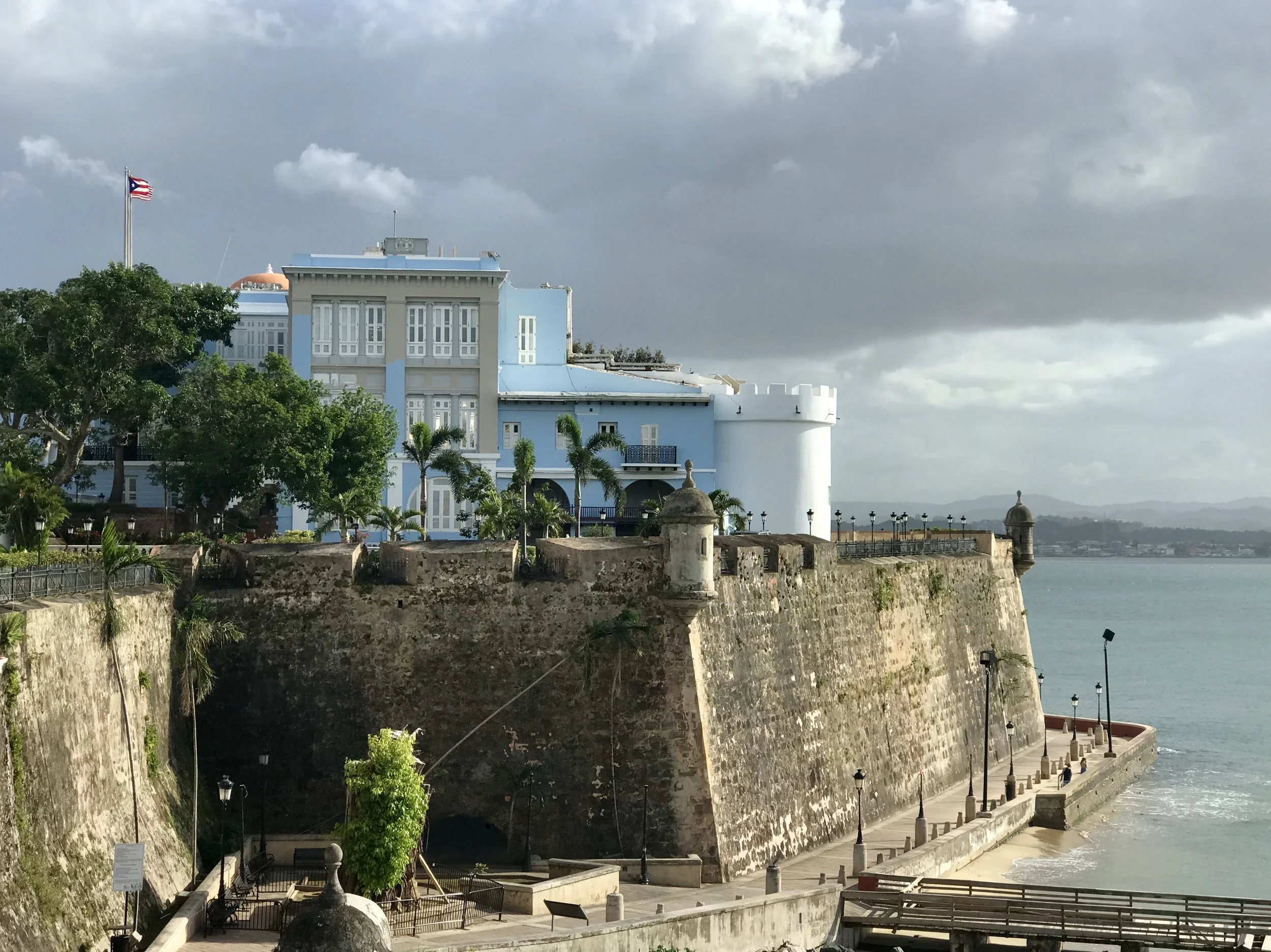
A beautiful day in Old San Juan.
"There is no legitimate debate that climate change is happening. The only debate is around the nuances of the timeframe and how bad it will be." -Margaret Haberman
Last October I attended several provacative panels on climate science at Climate Week, an annual New York City based conference. I was particularly puzzled by one panel organized by the soon-to-be "Museum of Climate Change" entitled "Fear and Hope in the Climate Conversation." Although the speakers were all highly qualified, no one seemed to want to talk about fear, and no one did. This forced the conversation toward hope, taking it in several directions. One direction focused on personal reflections about optimism (which seemed to be based more on the individual character traits of the panelists - they indeed were a personally optomistic group), and on reviews of the most hopeful trends for managing climate change occurring around the world. Had the panel been called "What are We Doing Well?" I might have left more satisfied. Yes, smart and successful people are naturally confident. Yes, hundreds of cities and a number of states have pledged their intention to stick to the basic tenets of the Paris Climate Accords, which includes the goal of limiting global temperature rise to 1.5 degrees centigrade. Yes, global growth in the clean energy sector is increasingly explosive, robust and unstoppable. Yet at the same time, scientists tell us that the Paris accords, plus the current level of growth of clean energy alternatives are not enough. It's a start, but not enough. Greater urgency is paramount. And how will we achieve that? And what should we fear if we don't manage? And what should we fear even if we do?
Coupling hope with the word fear made me expect and desire a deeper conversation. Frankly, I yearn for that time when we become realistic about our situation. Those of us who pay attention to peer reviewed climate science know there are plenty of reasons to be worried. Essentially, our best efforts to address climate change are failing to match the urgency of our situation, and with some notable and inspiring exceptions, most individuals and communities around the globe are woefully unprepared for what is coming. With CO2 levels at the highest levels for the past 800,000 years (humans have been around for fewer than 100,000 of those years), we are are only at the beginning of an acceleration of deadly heat waves, sea level rise, and destructive weather events that will grow increasingly intense and more frequent.
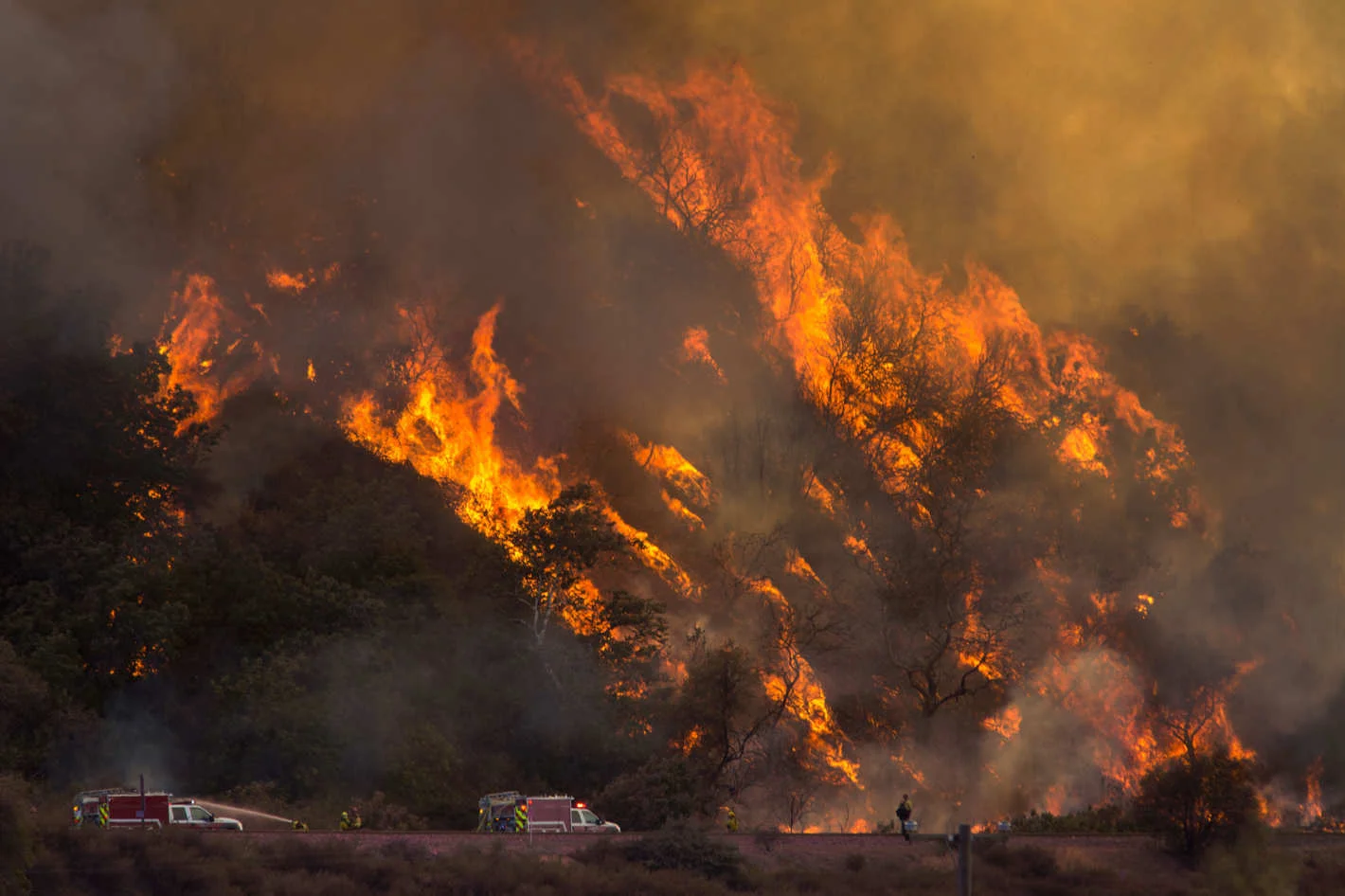
Fires burn in western Oregon in the summer of 2017.
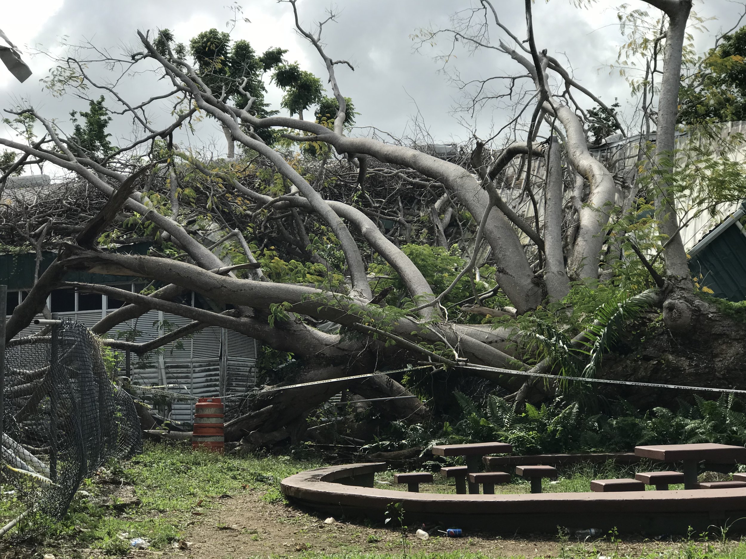
What wind can do.
On July 9th, 2017, New York Magazine published a landmark article by David Wallace-Wells entitled "The Uninhabitable Earth, Famine, Economic Collapse, A Sun That Cooks Us: What Climate Change Could Wreak - Sooner Than You Think." The most-read story in the history of New York Magazine, this article inspired many follow up articles, some by writers who felt that the article's alarmist tone was more harmful than helpful, and in some cases, inaccurate. But then criticisms about the article were literally drowned out by an extraordinary series of extreme weather events. Along came Harvey, Irma, Jose and Maria. And although it took a few months for scientists to be able to describe how climate change is the driver for these events, it is now possible to describe how warm waters in the Atlantic, prevailing trade winds and a wobbly jet stream resulting from a warming atmosphere all contibuted to create a season of "perfect storms" that are rightly viewed as canaries in a coal mine.
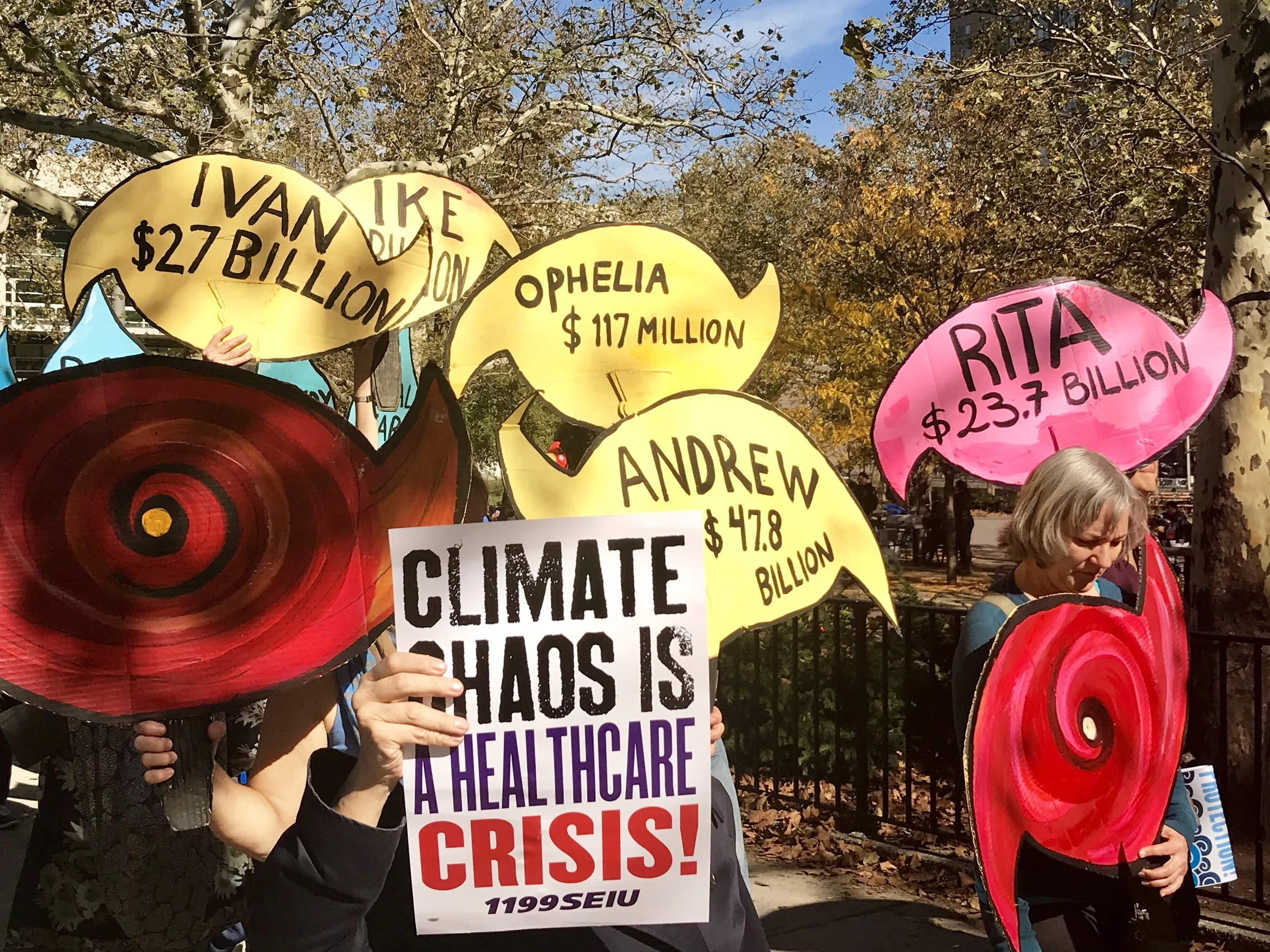
Climate March in New York City on the 5th anniversary of Hurricane Sandy.
Like other Americans who weren't in the path of those storms (as opposed to those who were) I watched the story of the 2017 hurricane season mostly on TV. And although I don't believe our major networks peddle intentional "fake news", I do believe that first hand experience is the greatest way to learn about something. So, in November I decided to travel to Puerto Rico in January to study Spanish at a private school in downtown San Juan called Isla Language. I will be here for two weeks, improving my funky Spanish in the mornings and cycling around San Juan in the afternoons.
I have been here for four days now. San Juan is functional. Water and food are not difficult to obtain, and other than many destroyed street and traffic lights, people are busy in the normal sense of the word. The electric company is ubiquitous. Workers are deployed all over, broken poles are gradually being removed and wires hang everywhere. Ironically, remnants of old wires are as omnipresent as new ones. Clearly, getting wires up is more important to the utilty than cleaning up debris. That said, I imagine that the town will gradually become more organized as time passes. A resident (and fellow language student) pointed out several buildings in distinct disrepair and told me they were that way before the hurricane because of Puerto Rico's debt crises, which makes me often wonder if I am seeing something that fell into disrepair before the Hurricane.
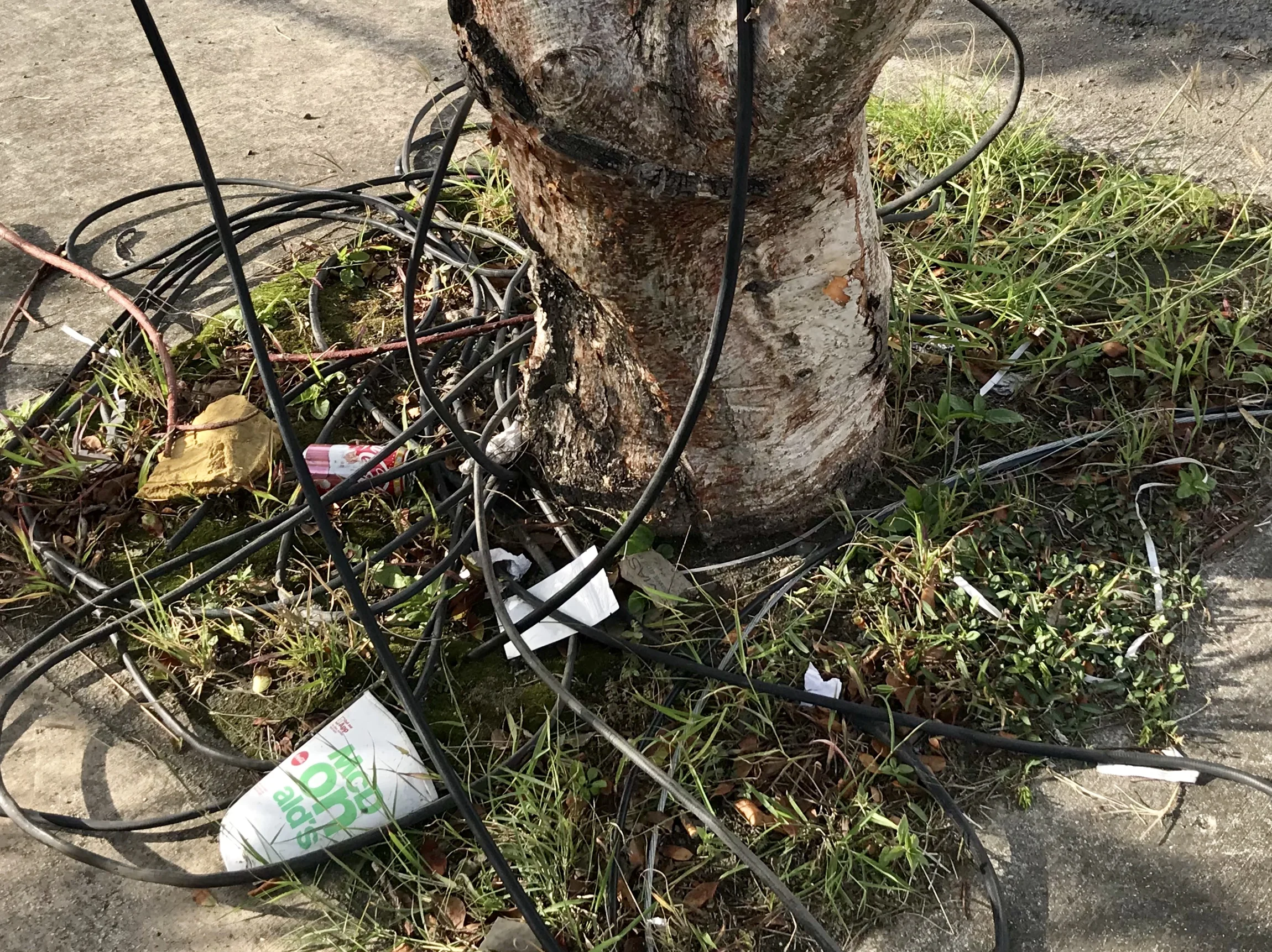
Electric wiring left after a line was repaired.
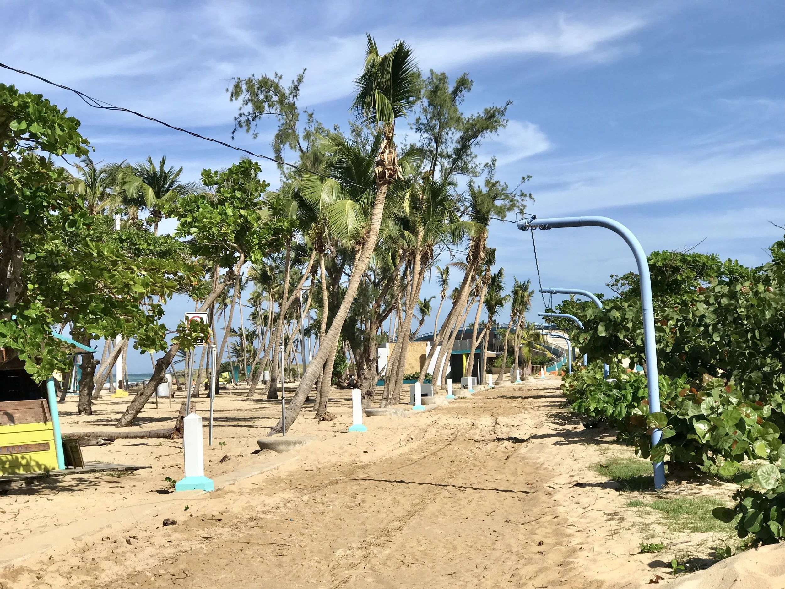
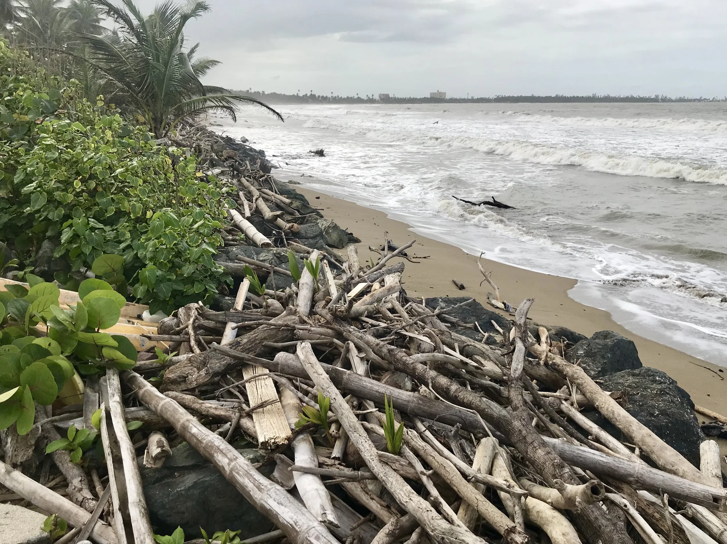
Debris on the beach.
Interestingly, only a few areas have maintained stable housing prices since 2008. The rest have lost value steadily over the past decade as the debt has spiraled. It appears to me that if anyone is looking for real estate in the Caribbean and they aren't worried about climate change impacts, this is a good place to buy. As a New Yorker, I'm very impressed by the prices, the gorgeous beaches (even post Hurricane) and the general joi de vie of the Puerto Rican people. Interestingly, the oldest part of San Juan weathered the Hurricane quite well - apparently the Spanish knew how to build buildings that would last.
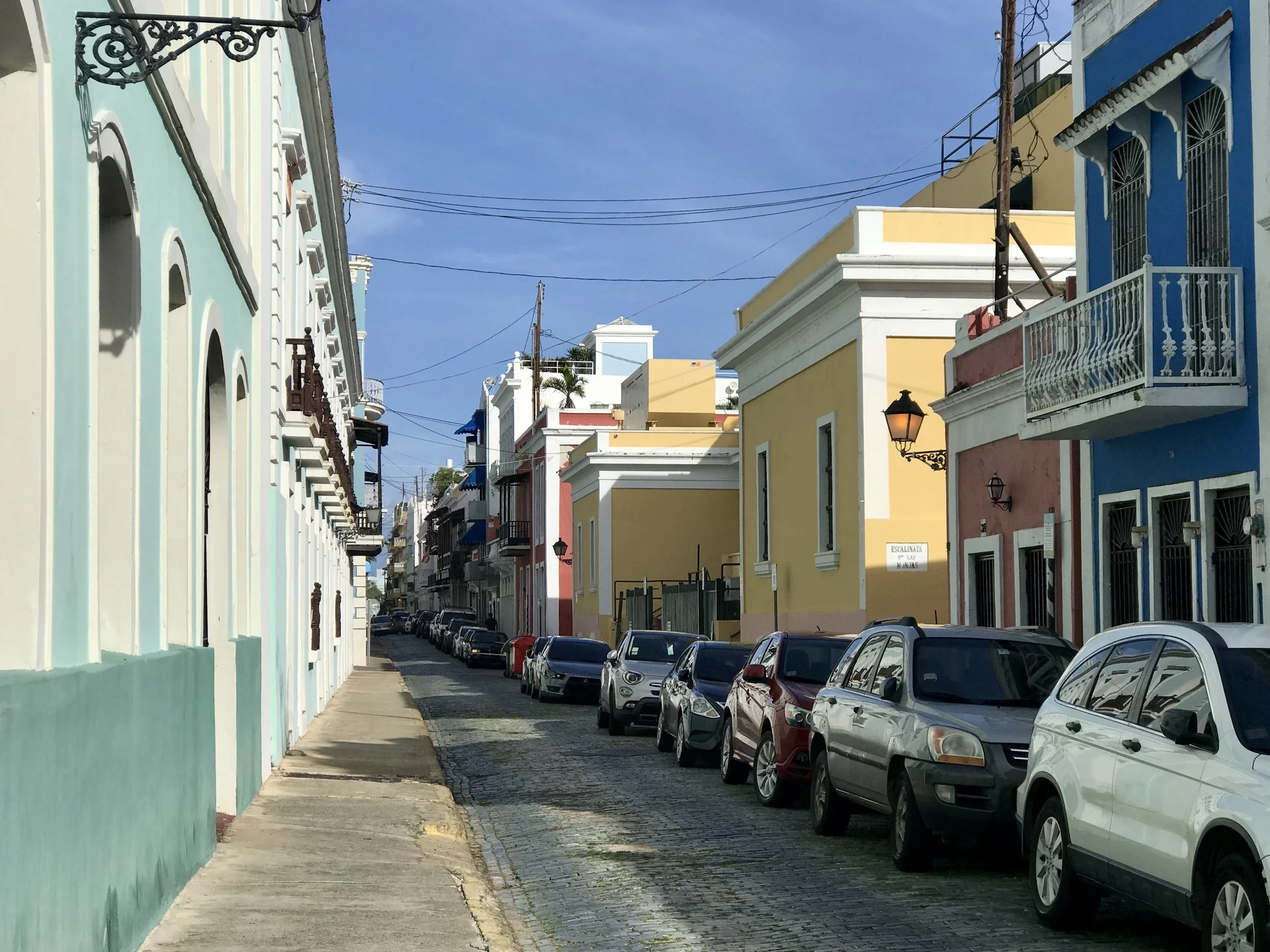
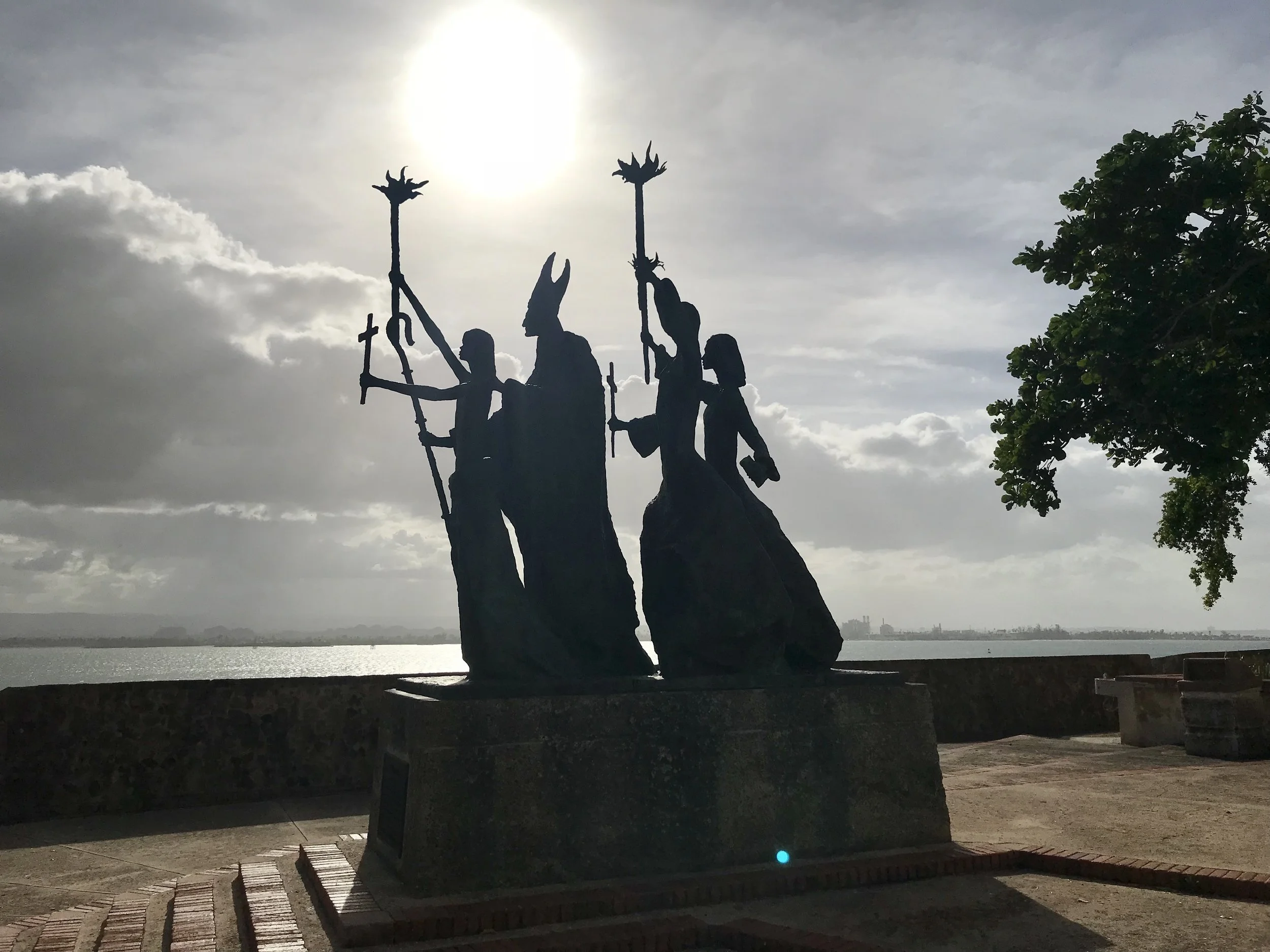
One aspect of hope is our capacity to endure difficulties, regardless of how challenging they become. I can say with great respect that the Puerto Rican people possess this kind of hope. They are a remarkably cheerful and personally resourceful people, in spite of having experienced great hardship. It may be true that more people died in the aftermath of Maria than Katrina (see Hurricane Maria’s Aftermath in Puerto Rico ), but that fact is not evident in bustling San Juan.
"Anybody who works on the climate crisis has to deal with an internal struggle between hope and despair." -Al Gore
Portland to Seattle on an ultralight folding bike, Post 3
Nero fiddles while Rome burns. What happened in Texas is catastrophic and many people are suffering. It's not hard to predict that Harvey's impact will involve a recovery period that will last years. Let's hope FEMA, Congress and the White House have the staying power and focus to help with the real job of recovery and reconstruction because the most difficult part of recovery is only beginning. Things will probably get much harder before they get easier. A visit by Trump and/or other congressional leaders in several months will mean much more to the citizens on the Gulf Coast than one now. But most likely, if the media has gone elsewhere, so will have the politicians...
In the meantime Irma is bearing down on Florida, and she may be close to landfall when you read this. Two 500 year storms in two weeks? What is happening here? Well, this is no surprise to climate scientists - they've been warning us for quite a few years that extreme weather events are likely to intensify as the atmosphere warms up.
By the way, a 500 year storm literally means a 1 in 500 chance of occurring any year, and not a storm that is so severe it only happens every 500 years; someone needs to explain that to Trump.
In the meantime last week, 1000 people died in Mumbai because of severe flooding from monsoon rains; over 41 families were displaced, and multiple roads and bridges destroyed by flooding in Donegal County, Ireland; and 12 people died and millions of dollars of damage happened as a result of Typhoon Hato in Macaou and on the Chinese mainland.
As for me and my current trip on a folding bike, I enjoyed beautiful weather in Seattle for the past five days straight, although I could not stop thinking that as I was playing "Rome" was burning elsewhere.
But it's not all copacetic in the Northwest. In addition to a summer of large forest fires burning across British Columbia and then Montana, there are now forest fires burning across large sections of western Oregon - a few of which are still uncontained. The smoke, haze and acrid smells made biking today somewhat challenging. By the end of the day, my eyes were stinging and the idea of camping outside had lost all appeal. I needed, and wanted, to be in conditioned air overnight, so I found a Motel 6 in Kelso, about 40 miles north of Portland. That said, I made decent, although relative, time on my increasingly intrepid Brompton.
Check out my road cycling activity on Garmin Connect.
https://connect.garmin.com/modern/activity/1961055920
And here are some pictures of my time in Edmonds, Washington - a small town on Puget Sound north of Seattle.
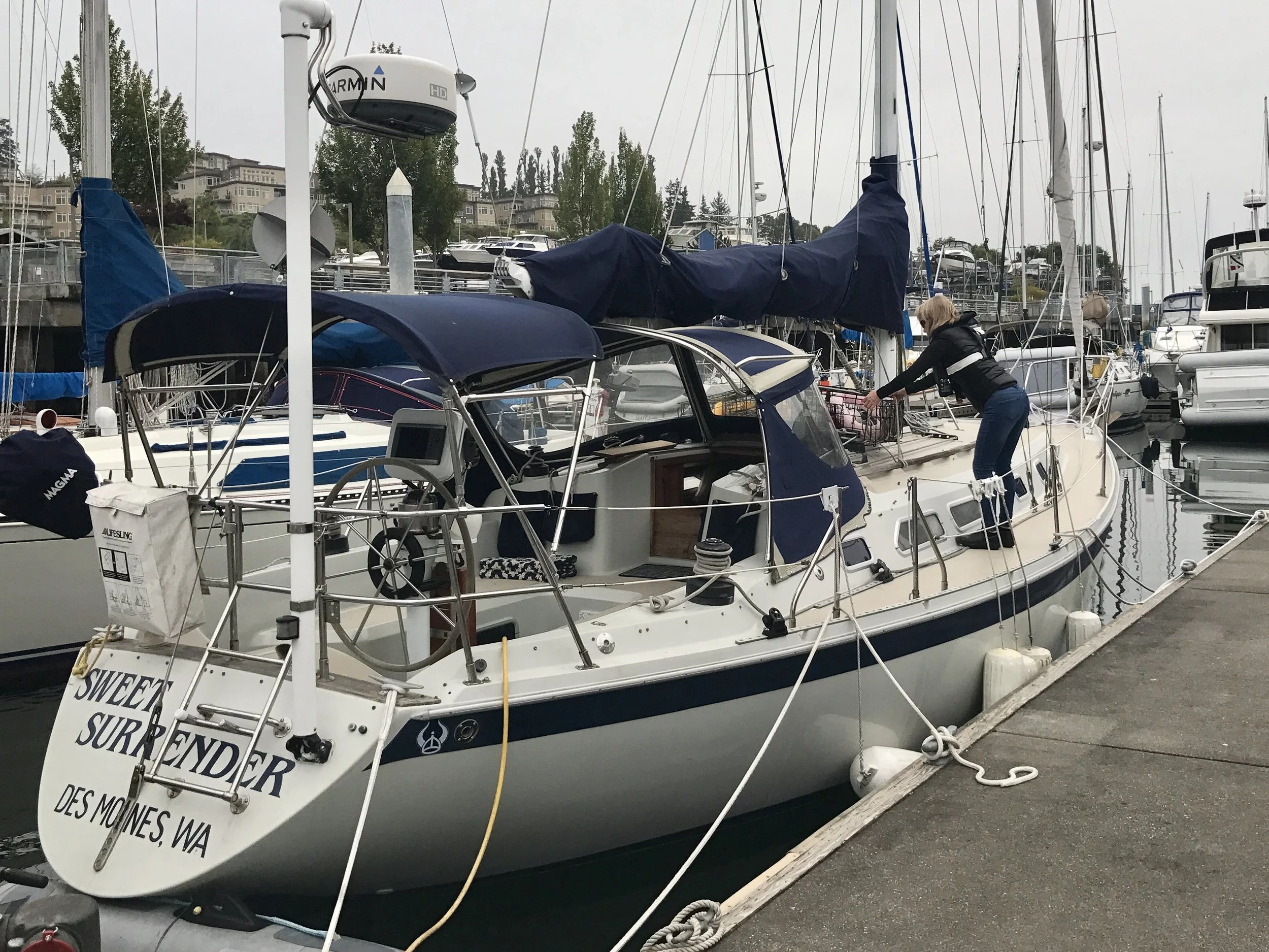
Jeff Hart's boat docked in Edmonds, Washington.
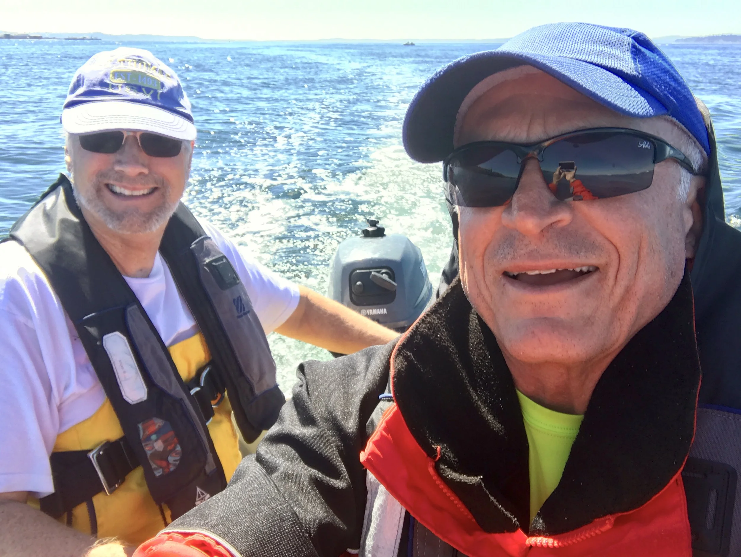
On a dinghy with my friend Jeff after taking nine male dungess crabs out of cages in the Sound.
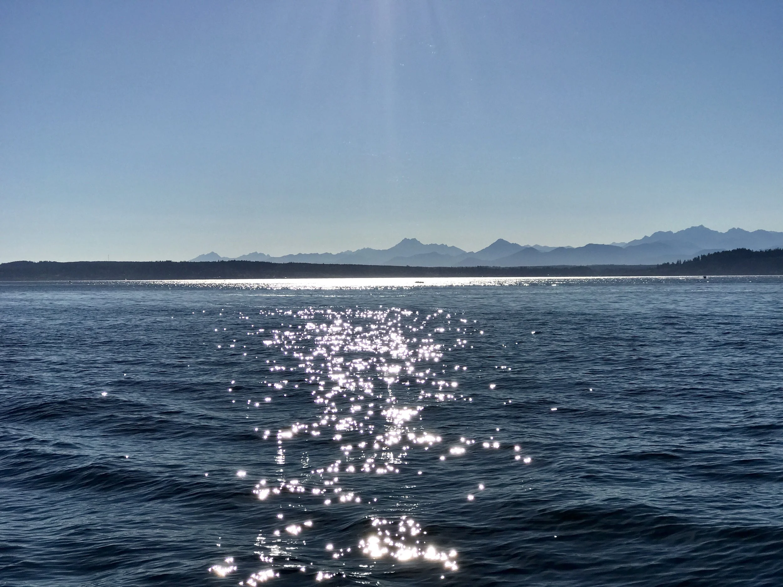
The view of the Olympic Peninsula from Edmonds across the Sound.
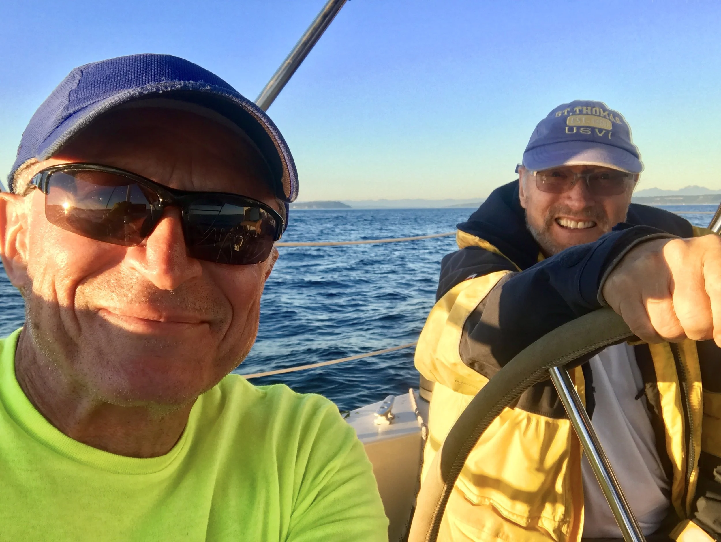
Just starting out on a late afternoon sail.
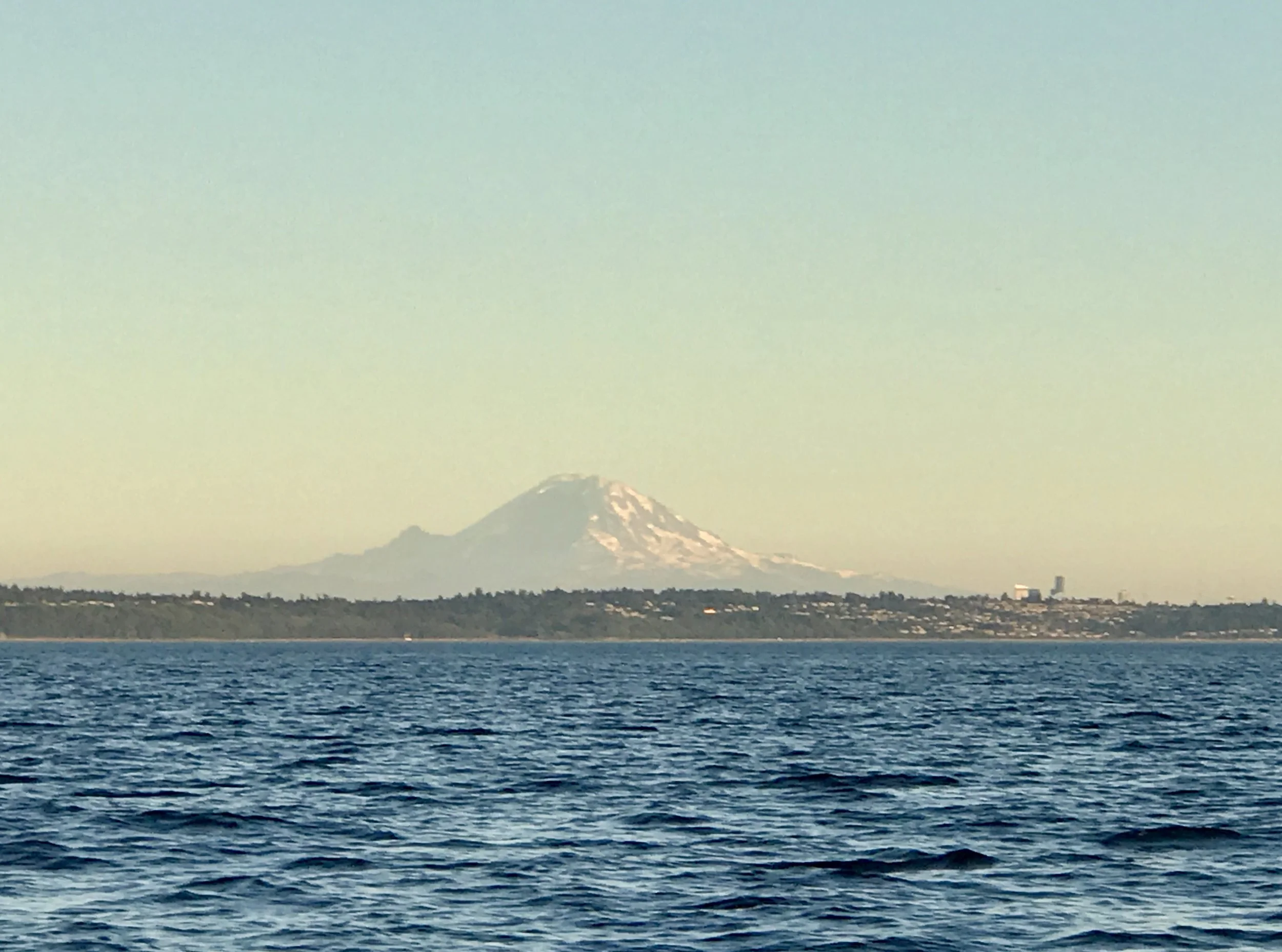
The view of Mt Baker to the northeast of Edmonds.
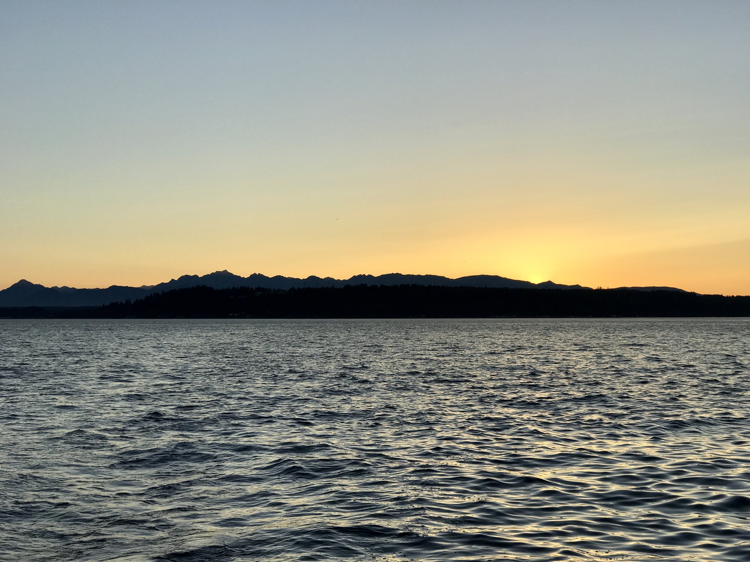
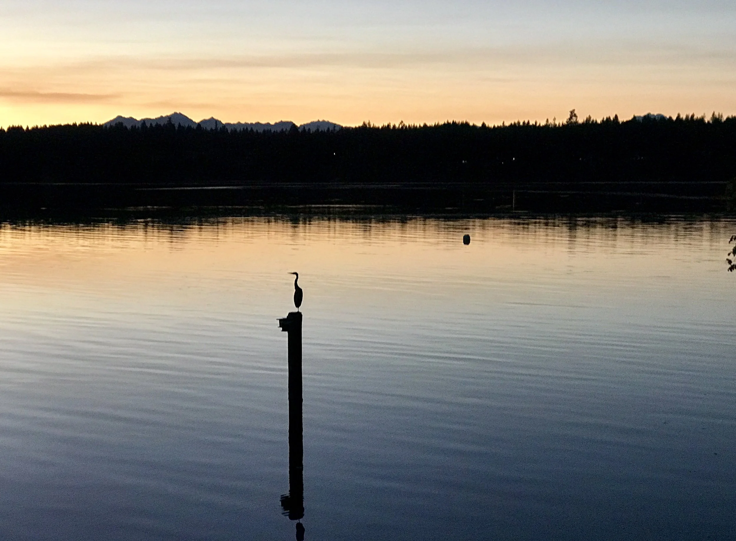
Sunset over the Olympic Peninsula.
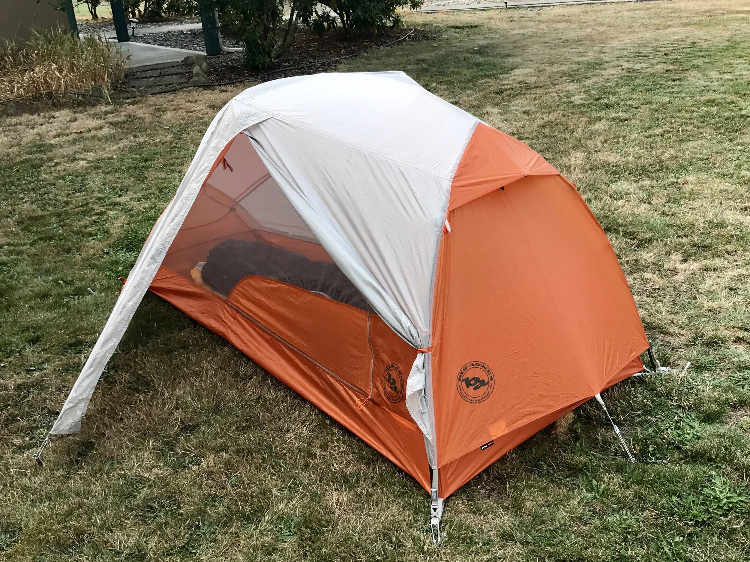
I traded in my bivouac at REI in Seattle for this Big Agnes Copper Spur UL1. Some of you told me my bivouac would make you claustrophobic - that wasn't my problem but I didn't like the condensation at all. I know this tent will work out just fine, although it's several ounces heavier and bulkier to pack...
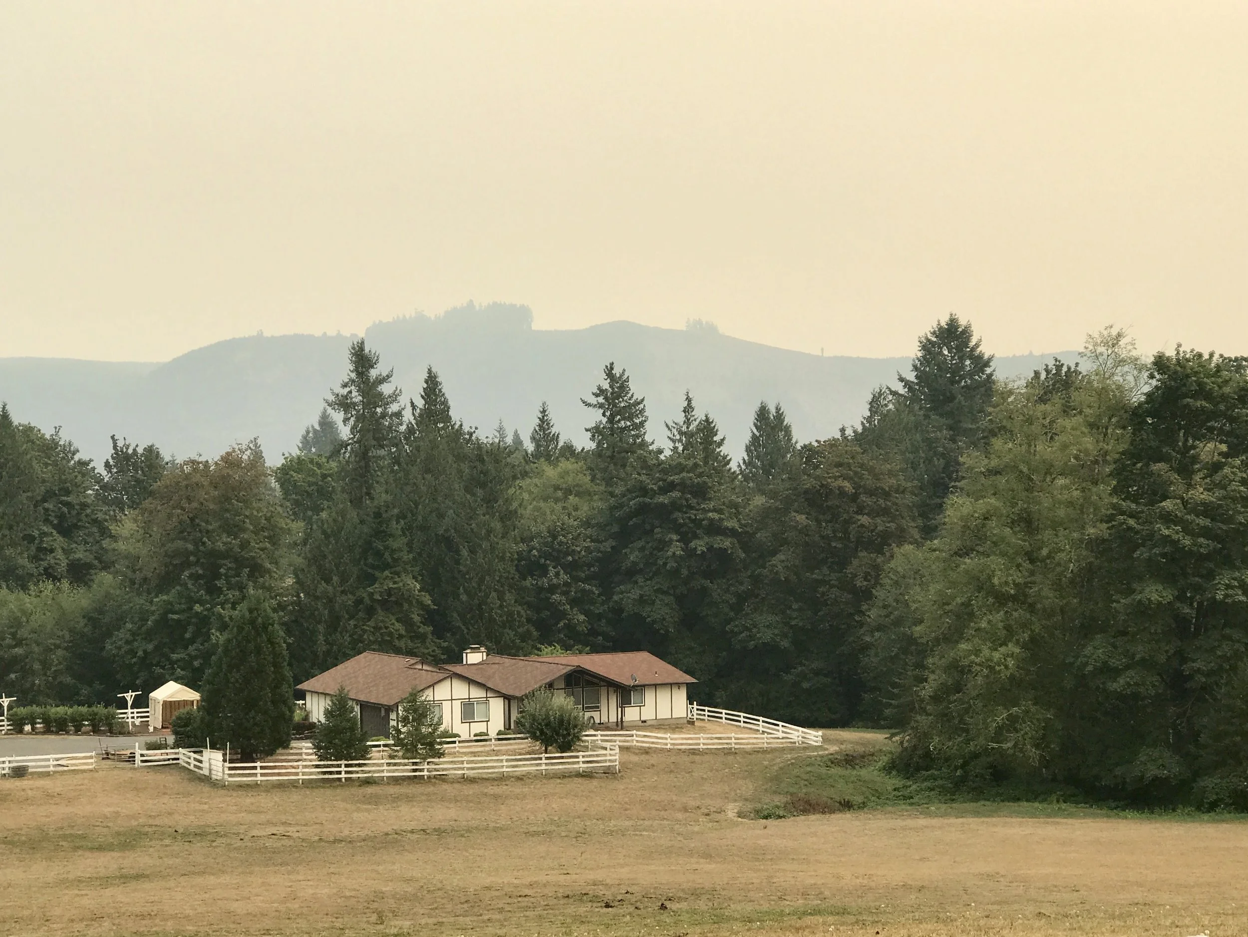
Haze in the distance as I passed into southern Washington today.
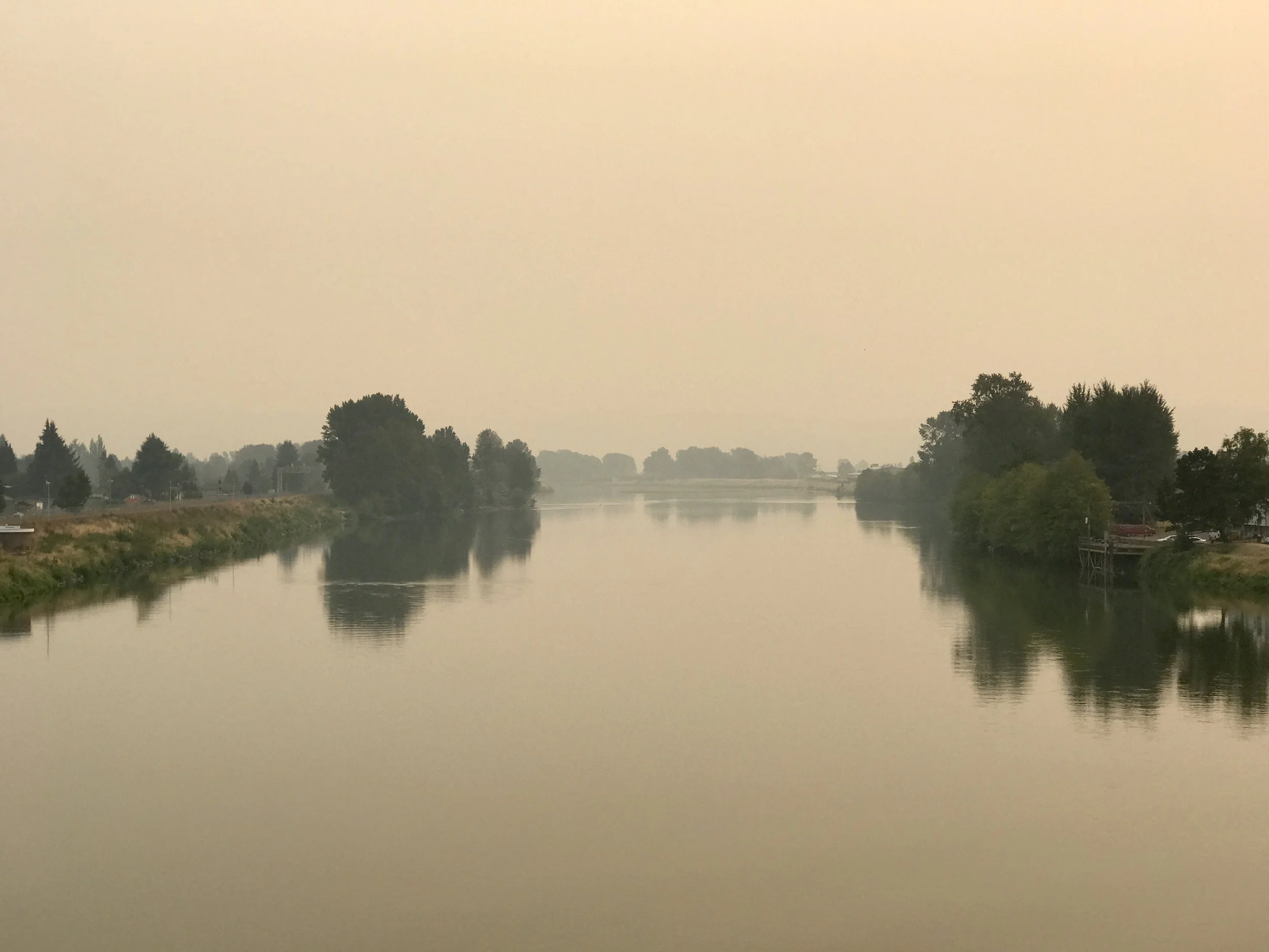
Haze hangs over the Cowlitz River. The smell of smoke and the haze made me think of towns in Asia (most notably Jakarta) where huge numbers of people cook meals over wood, charcoal and cooking fuel outside, making the smell of smoke and haze permanent.
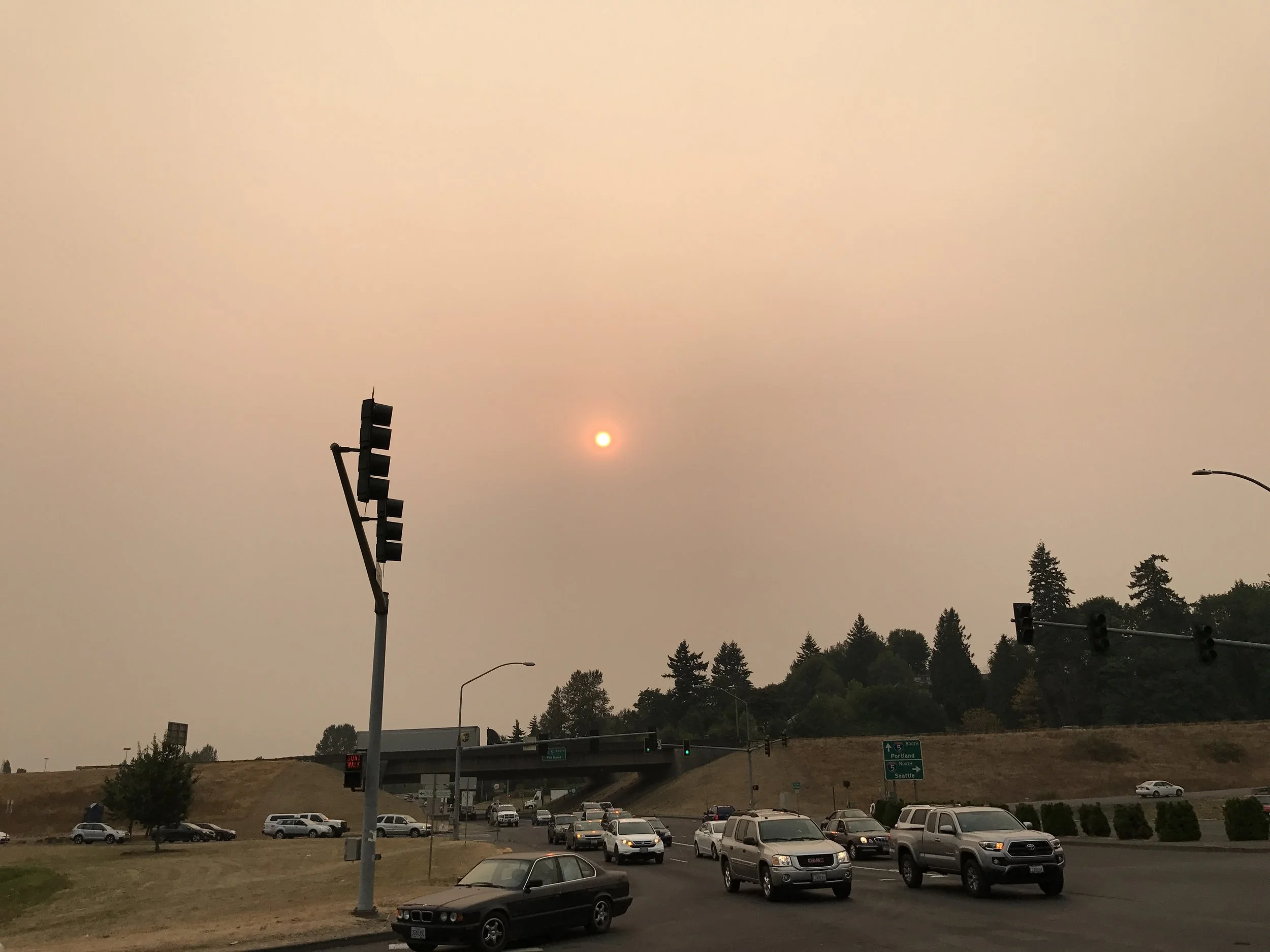
The sun hangs in smokey haze in Kelso, Washington, about 40 miles north of Portland on Tuesday, September 5, 2017 at about 5 pm.
Thanks for reading my blog.
More to come,
Michael
Portland to Seattle on an ultralight folding bike, Post 2

It's odd to be enjoying such extraordinary weather (around 87F and 34% humidity - the locals say it's unusually hot) in the Pacific Northwest while reading about the Gulf Coast and the impact of Hurricane Harvey. Watching the intense rain on the Doppler radar makes me more aware than usual how large our country is. Hundreds of thousands of people are suffering in a catastrophic, record breaking storm, while the Northwest is slightly warmer than usual and pleasantly dry.
I have been reading a fascinating book titled "Economic Risks of Climate Change" led by the academic team of Houser, Hsiang, Koop and Larsen. With expertise in both climate change and economics, this book is the first compendium of research that assesses economic risks by applying climate modeling to economic forecasting. Although the information is specific to the US, the research methods show wider promise for global applications. In its current form, this research gives us some insight as to how climate stresses may impact local economies in the coming decades at a level as granular as regions, states - and in some cases - even counties.
Apparently the Southeast will be the most impacted region in terms of heat increases (measured by wet bulb increase, which includes both temperature and humidity) and sea level rise off the Gulf Coast. This will impact industry as it becomes dangerous to work outside (think about construction, highway infrastructure and farming), and agriculture as some crops - notably corn and soybeans - may experience reduced yields. Correspondingly, the Northeast will see increases in wet bulb temperature and general levels of precipitation, as well as sea level rise. But oddly, the Northwest won't experience as much sea level rise, nor much wet bulb temperature increase, although average heat temperature may increase somewhat. And it is likely to rain less in the Northwest, which for a few decades at least will have the interesting impact of making the region more pleasant.
It seems that many people who live in the Northwest are already aware they live in Nirvana. I wonder, though, as economies are stressed further south, if there will be increasing population pressures on the area that won't be appreciated by those who live here.
I will be attending a Climate Reality training in Pittsburg in mid-October of this year. I hope to meet other activists interested in creative approaches to achieving change in energy systems and values that coming climate crises will necessitate. I respect Al Gore, and appreciate that he seems to recognize we need a social movement for climate that matches the fierce passion the civil rights movement both required and engendered. Yet, he also seems to think we can address our environmental crises through established channels. I no longer think this is the case, although like many law abiding citizens, I have to push myself to be confrontational with authority.
My brother Steve Chase, who works for the International Center for Nonviolent Conflict, recently published a review on their website that I find helpful. You can find it here.
The pictures below were all taken at Jerrel Cove State Park on Harstine Island about 40 miles from Seattle. Because I've been having some problems with my bike computer, I don't have an accurate record of maps to share. Perhaps I can do this on my way back from Seattle to Portland. In any case, I'm having lots of fun.
More anon,
Michael
Portland to Seattle on an ultralight folding bike, Post 1
Some of you may remember I had planned to be cycling across Newfoundland about now. Well, life doesn't always go according to plan. I couldn't quite get myself out of New York City once I returned from my Blue Ridge trip in late June. For one thing, the weather remained quite pleasant there all summer (go figure - the second hottest July globally on record), so it didn't add to my desire to flee. For another, I decided I needed to deepen (once again) my ties to my immediate community. One thing that results from about not being in a place is that it becomes less and less the community through which one experiences identity. As banal as that thought is, I decided (once again) that I love New York City and wanted to give it some attention so that returning to it the next time I left was an even bigger pleasure. And of course NYC is often deeply rewarding to anyone who decides to romance it. It's a glorious example of humankind at its best, worst and most intense. It's a cauldron of life, and if one loves being alive, on some level one cannot help but love New York.
And, sooner or later, one needs to leave it. Some weeks ago, I was gripped by an unrequited fantasy - to outfit my Brompton folding bike so I can tour on it... the advantages are numerous (as are the downsides) and I've been thinking about doing this for several years... However, the only bike shop I know about (and I think I'm right in my analysis) that coverts Brompton to a gearing level that approximates a touring bike is Clever Cycles in Portland. Well, before I thought about Newfoundland I had been thinking about the Pacific Northwest (and cycling through Glacier National Park, another unrequited fantasy), so it wasn't a big step to decide on Portland. Glacier will have to wait, but earlier this week I flew from NYC to Portland (gate checking my folding Brompton), and arrived at Clever Cycles for the gearing upgrade.
The shop was great, although several days later about 140 miles out of Portland I'm having some gearing issues that I cannot - so far - reconcile on my own. But I know that when I get back to Portland next week the good folks at Clever Cycles will help me... in the meantime, I'm in my way to Seattle (which is about 200 miles from Portland) to visit my dear friend Jeff Hart from my college days. What a pleasure that will be! So, I'm limping along at 6 or 3 or 9 gears depending on the moment with 18 (or is it 16 inch?) wheels and two carry bags. The weather has been lovely and I'm testing out a lighter sleeping pad and bag, and an Alpine bivouac... It's pretty simple and I've had two great nights sleep already in this crazy little Gortex sack.
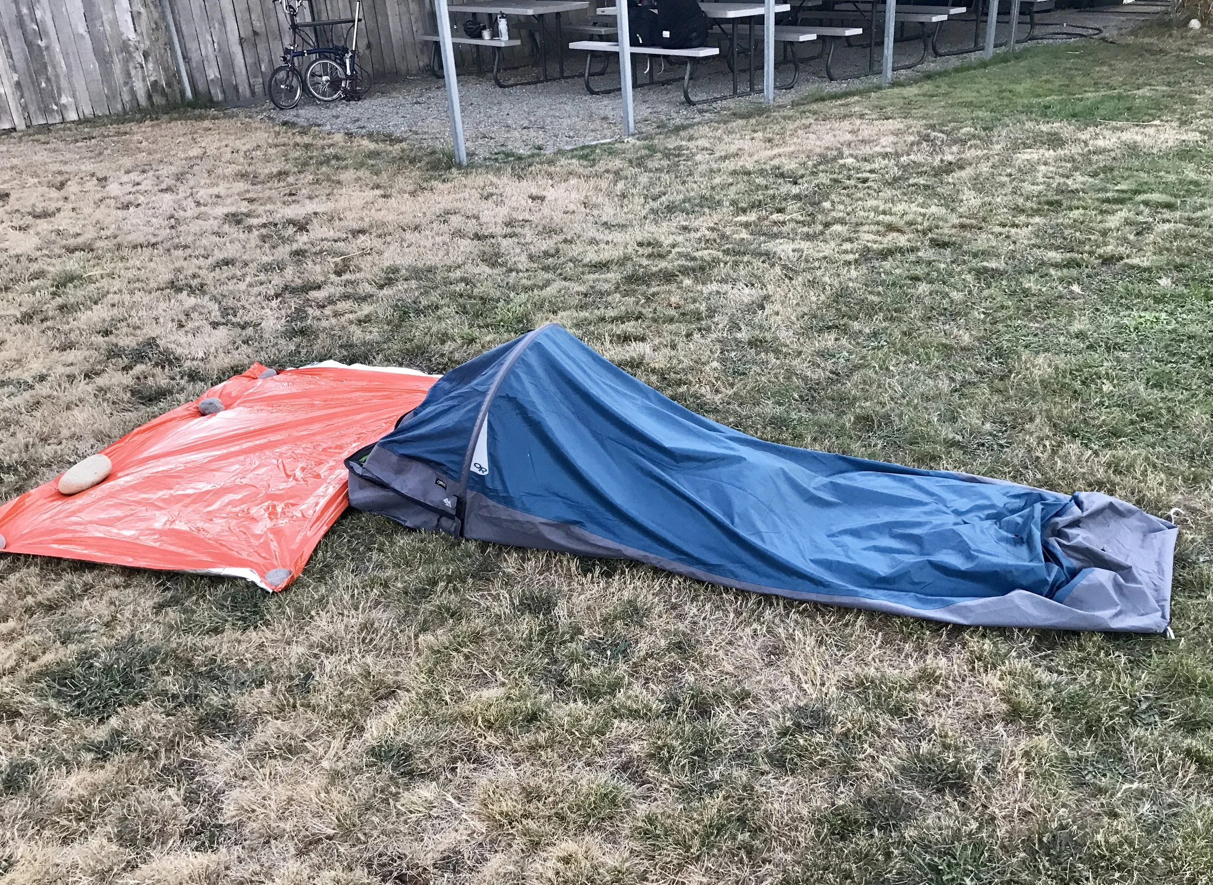
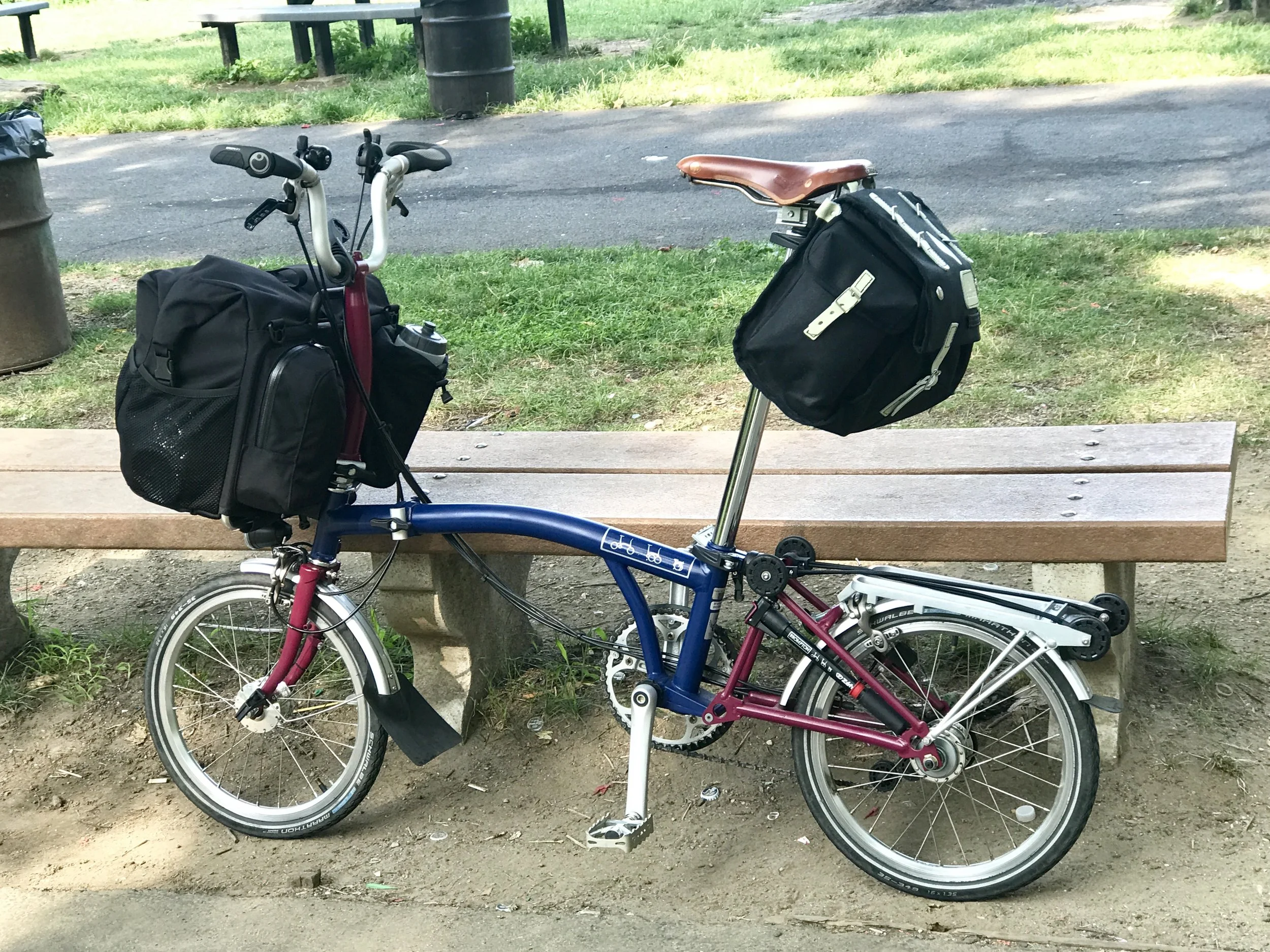
My bike in NYC on the way to the airport. It no longer has the bike rack... I removed it to reduce weight... it now looks like this.
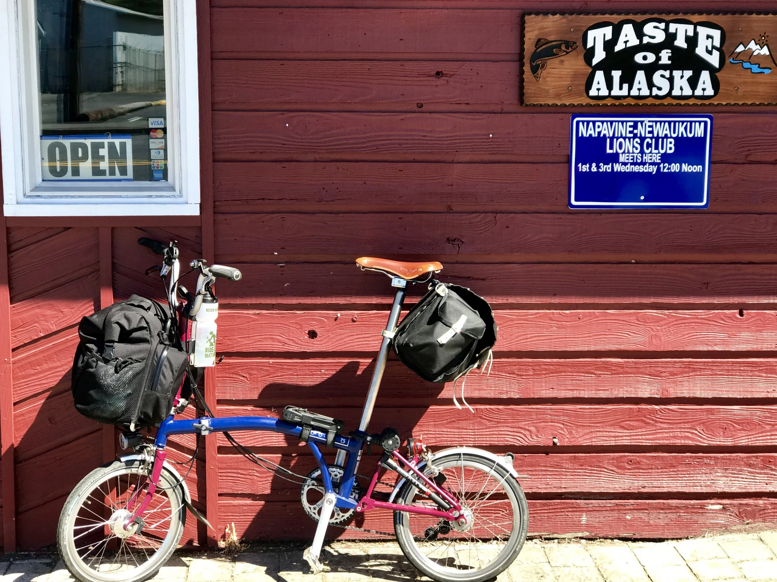
I am not able to send maps of my route because my bike computer broke. I hope to fix that problem tomorrow.
More anon,
Michael
Blue Ridge Finale, Post 10
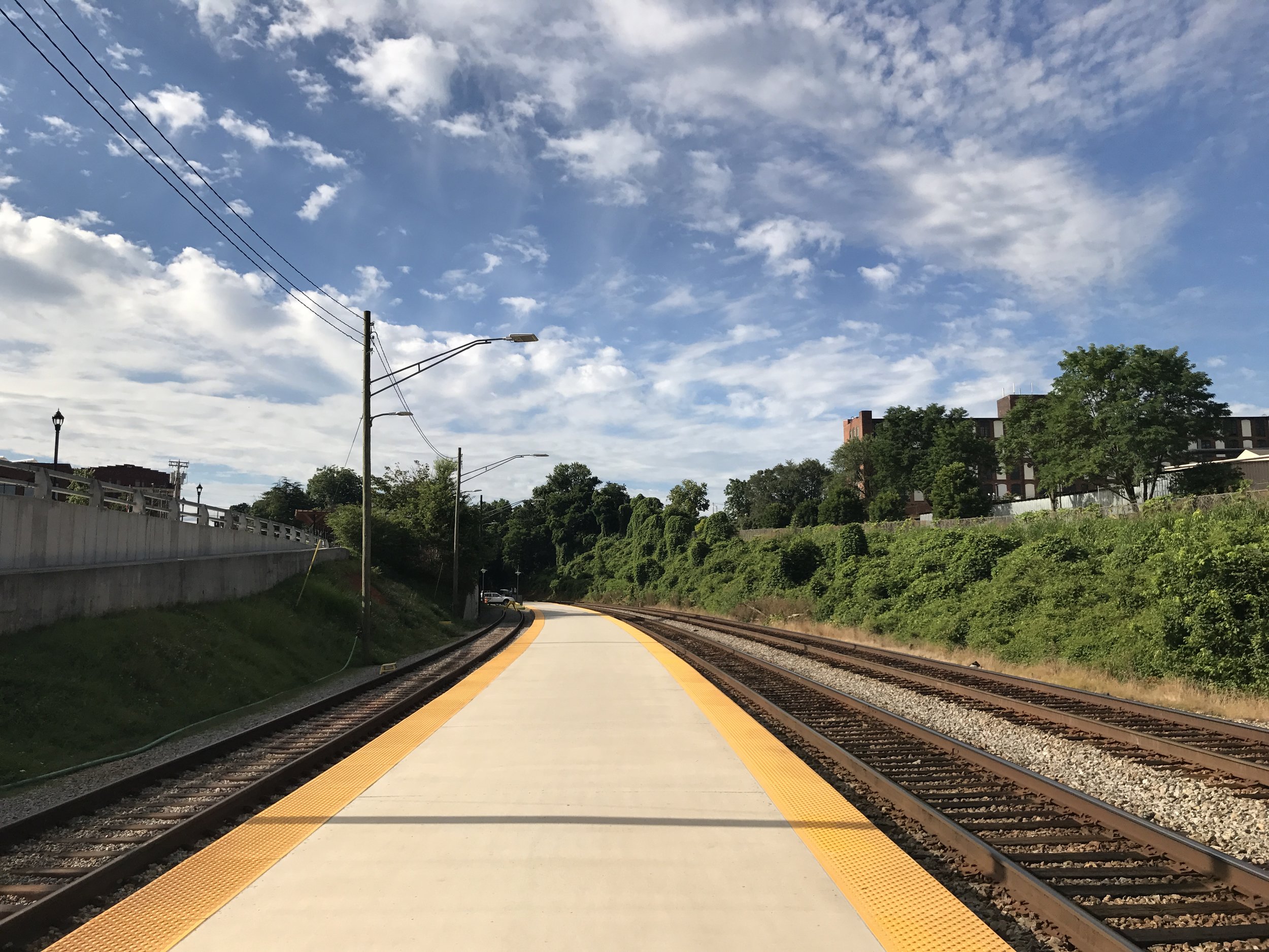
Amtrak platform, Lynchburg, VA
I apologize I didn't write this final blog on the Amtrak train back to NYC from Lynchburg, Virginia, as I promised. But I am writing it now, and although it is not directly about cycling in the Blue Ridge, it owes its origin to the heat I experienced as I biked there, as well as to the recent heat wave in the American Southwest.
There's nothing like discomfort to make one pay attention. I've had heat rash before in small doses, but never as debilitating as I experienced on this recent tour. It got me to thinking about what other kinds of challenges might lie in our futures as warming trends increase. As neither a health professional nor an environmental scientist, my direct knowledge about what may happen is limited, but as someone willing to spend time in natural (i.e., unconditioned) environments, I think I have a personal experience worth sharing.
When cycling, one cannot help being aware of car traffic. And on most days, one cannot help being aware of how - in America at least - drivers are now almost always in hermetic spaces, often with windows up and the AC or heat on, providing them with a comfortable atmosphere free of dust, humidity and a pleasant temperature somewhere between 64 and 72 degrees, depending on preference. I know this because as loudly and obnoxiously as I might yell at drivers that pass by me uncomfortably close and/or fast, no one hears me. Seriously. And I can yell very loudly.
Newer motels mimic the comfort of cars (or is it the other way around?) and many generic (and newer) chain motels are built with windows that don't open and with PTAC units that allow one to set the temperature exactly where one wants (this reality may have something to do with why I prefer older mid-century motels, where windows can be opened).
It's an opinion I cannot verify, but I suspect the growing ubiquity of conditioned spaces in the developed world is part of what makes climate change denial still possible. After all, how can one appreciate a changing climate if one is rarely in it?
But the general science of climate change is nether hard to grasp nor out of the realm of fundamental physics. Greater concentrations of certain gases in the atmosphere causes air to retain more heat. Carbon dioxide is one of those gases, as are methane and other kinds of fluorocarbons. And emissions of these gases remain on the rise. It is true that there is some evidence of certain kinds of emissions leveling off, but to use a health metaphor - slowing down a cancer buys you time, but not a cure. Yet, our earth has a lot of natural healing mechanisms although they are close to being played out.
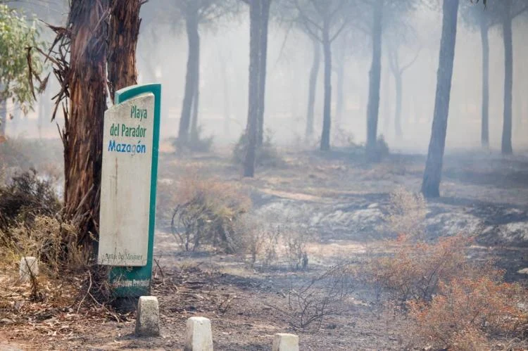
The recent catastrophic forest fire in Portugal.
Of course, no one likes a chicken little, and some of my readers get upset by my continued insistence that we not sugarcoat our situation. Yet, if like me, you are curious about what's likely to happen depending on different emission scenarios, there are some excellent reports to read of the most predictive climate science available. For Americans, there is the American National Climate Assessment. Canadians and those Americans who want to think more about the continent (sans Mexico, where assessment materials aren't as developed), there is the Canadian Climate Assessment. And globally, one can refer to the World Meteorological Organization Climate Assessment.
Here is a list of the links above (in order mentioned) for your convenience.
Recent heat wave in the American Southwest
Worldwide heat waves in our future
Heating trends even if Paris Accord goals are met
American National Climate Assessment
World Meteorological Organization Assessment
More to come as my next trip unfolds. I hope you enjoyed following me on my recent Blue Ridge Cycling Tour.
Best, Michael
Blue Ridge, Post 9
Days 14 and 15, and an unexpected conclusion.
Day 14: Check out my road cycling activity on Garmin Connect.
https://connect.garmin.com/modern/activity/1818918615
Day 15: Check out my road cycling activity on Garmin Connect.
https://connect.garmin.com/modern/activity/1818918801
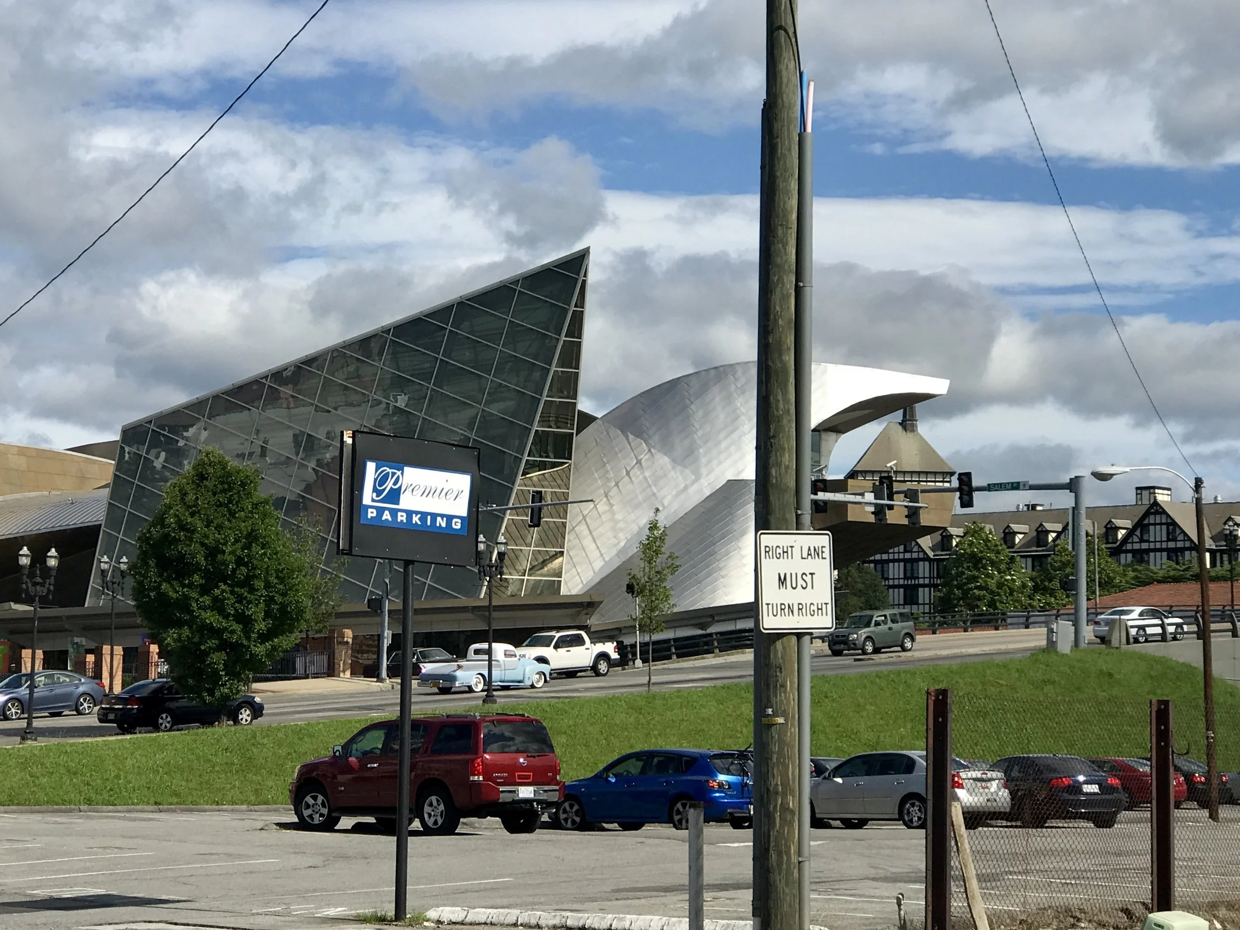
A Geary in Roanoke!
My progress out of Roanoke yesterday was slow at best; I stopped at a bike shop to finesse my front derailleur, get a lesson on repairing cables, and solve a bike shorts heat/sweat issue - which I did, with a great cream, which interestingly enough, is a called Button Hole. I recommend it with great enthusiasm. Greatest thing for cyclists ever invented.
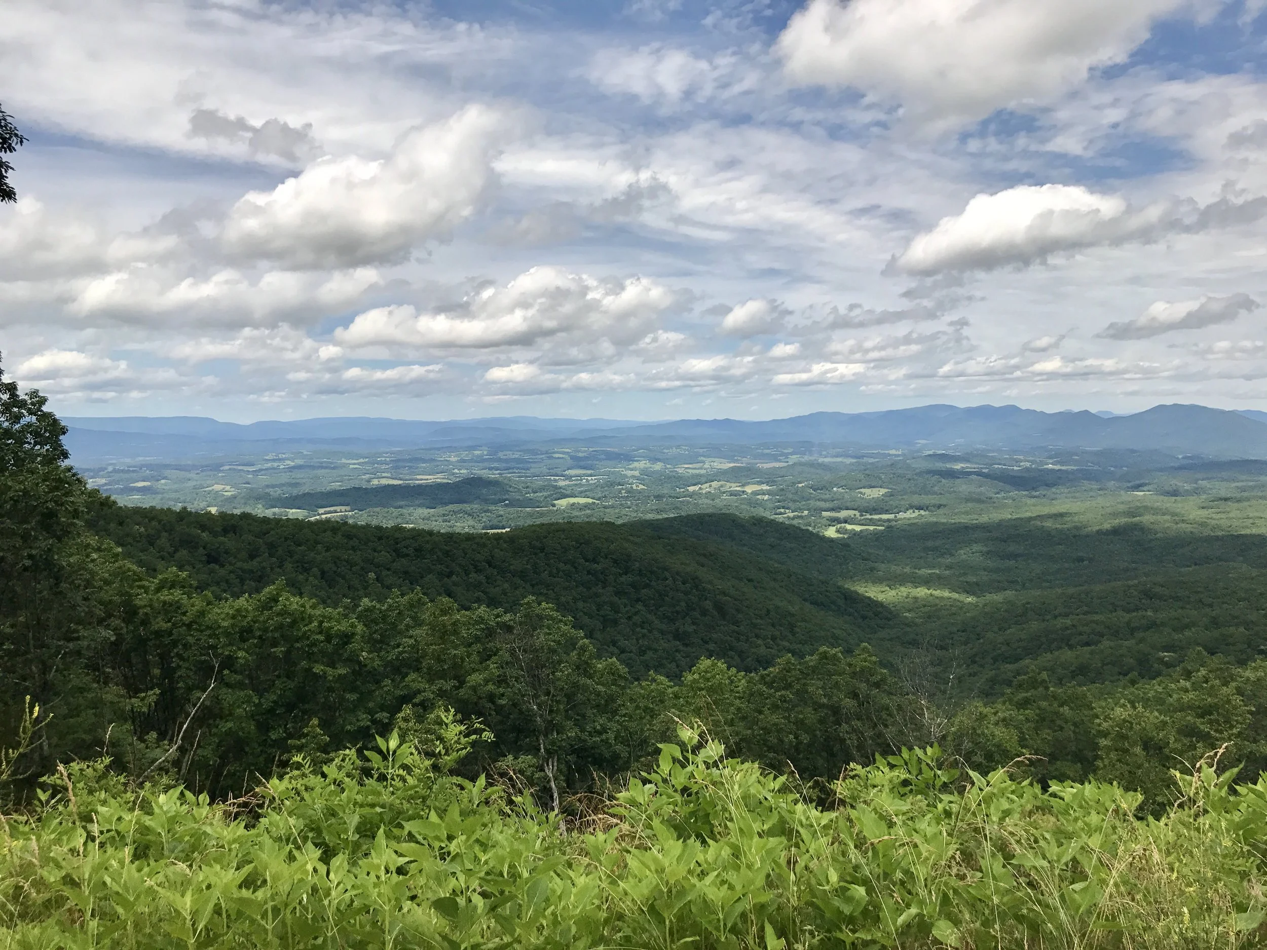
One spot where the Appalachian trail crosses the Blue Ridge Parkway.
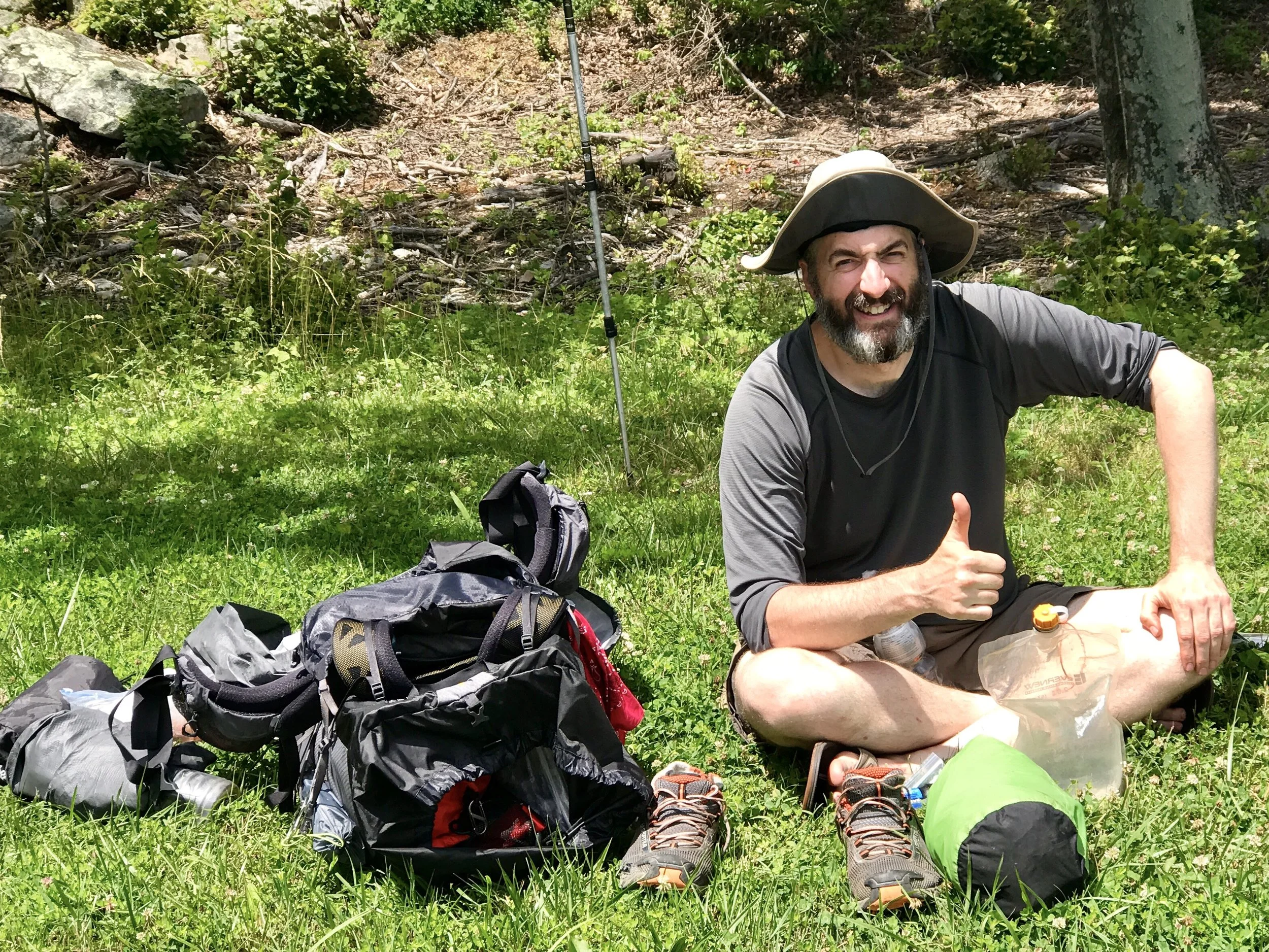
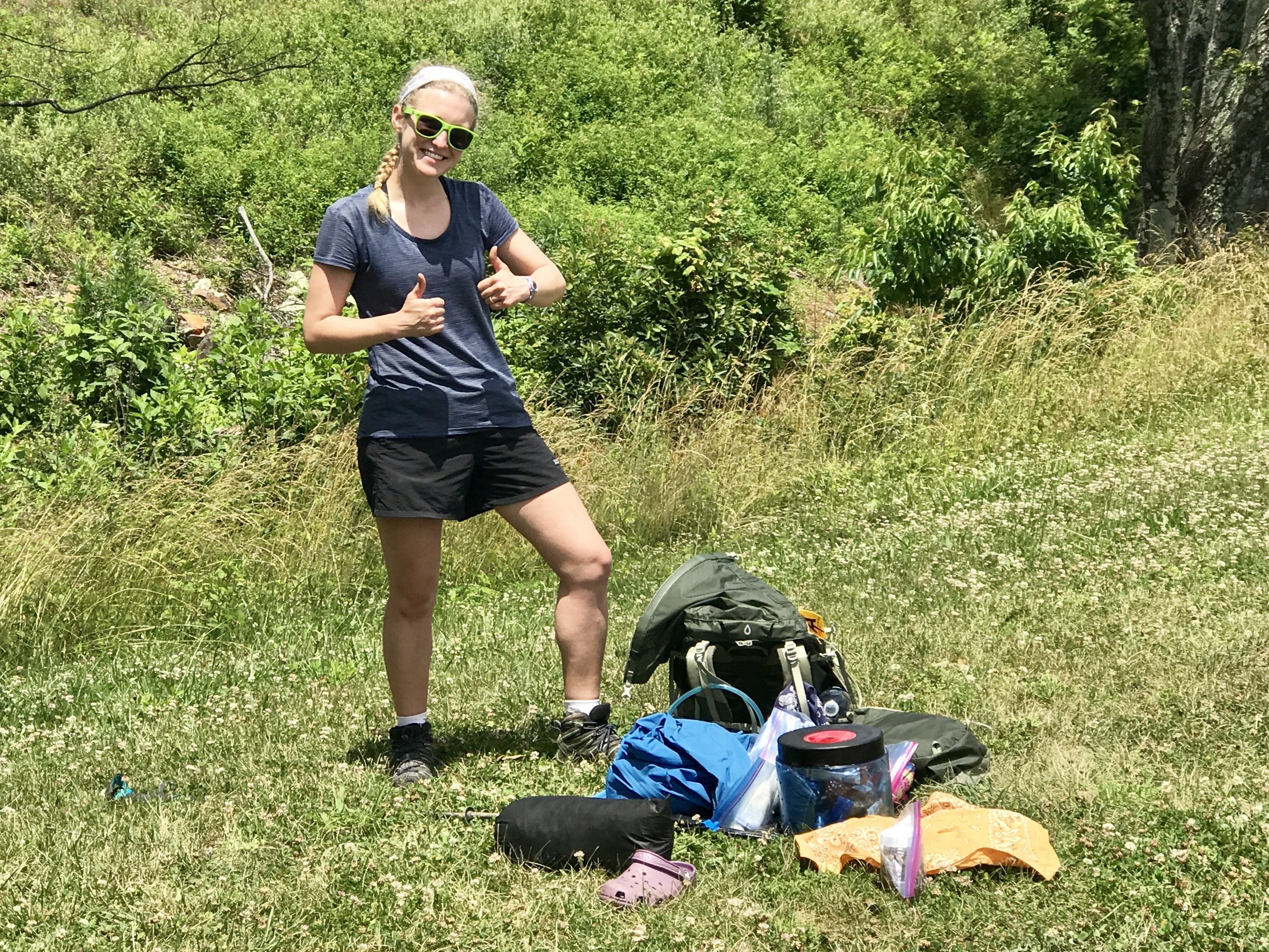
After two hills that absolutely wore me out I still had 25 miles to go, according to a plan I made yesterday morning. I stopped at an overlook and was greeted by two hikers on the Appalachian Trail, which crosses this section of the Parkway in Virginia multiple times. Although I didn't get their names, I did get their pictures. Even they had been hiking for 6 weeks already, they were happy campers, as you can see.
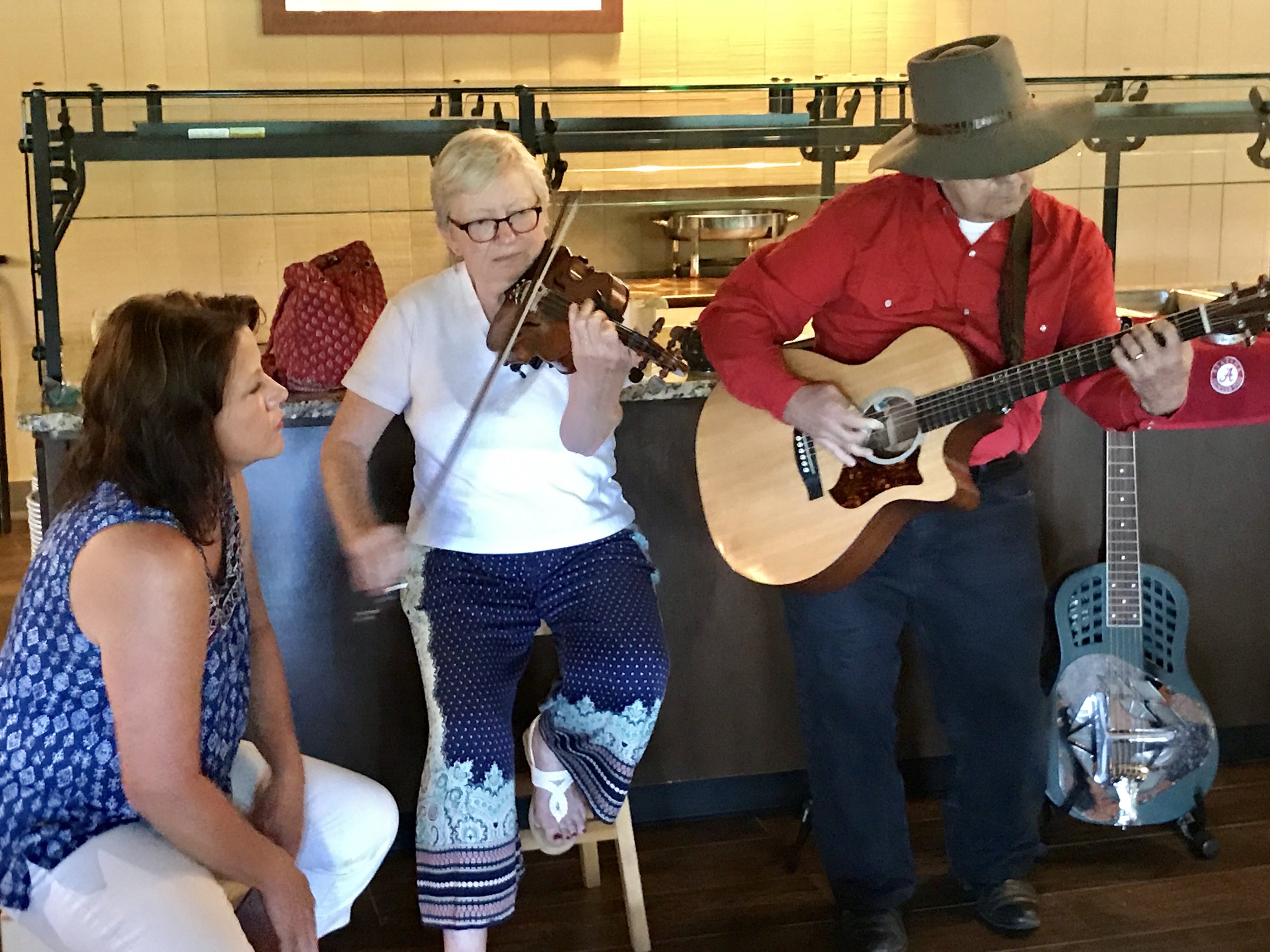
I had one of the toughest hills on the Blue Ridge right ahead of me, when I came upon a National Campground with a great restaurant attached to a lodge featuring a soulful blue grass and folk band. The restaurant is one of three that I've seen in 300 miles on the Parkway. And I was starving. So I stopped for the day. There was no shower at the nearby campground, and I made do with a spot bath, which after a long day of cycling, was not my preference. But the weather, although hot, was pretty pleasant. The humidity from Hurricane Cindy had lifted, so remaining a bit sticky was tolerable.
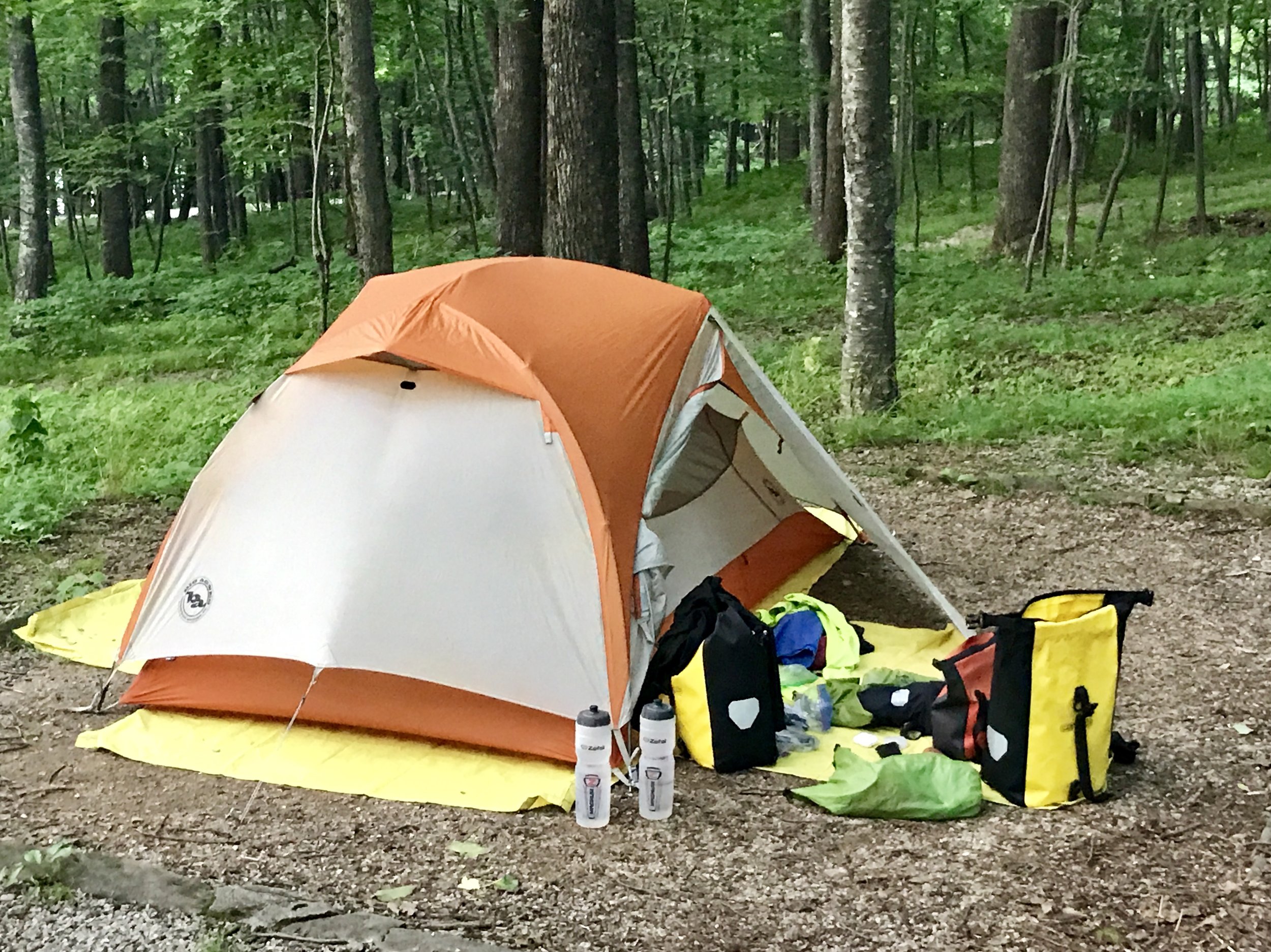
Home, sweet home.
Please understand the lack of amenities on the Blue Ridge Parkway is not an issue if you travel in a car. In fact, the very light touch of humanity other than a simple two-lane road definitely adds to the Parkway's rustic charm. A quick five to fifteen mile ride off the Parkway (when it does intersect with another road) will usually find you food. But on a bike even five miles takes at least a half hour down the Ridge and at least two hours back up. This is not something an already tired cyclist does on a whim.
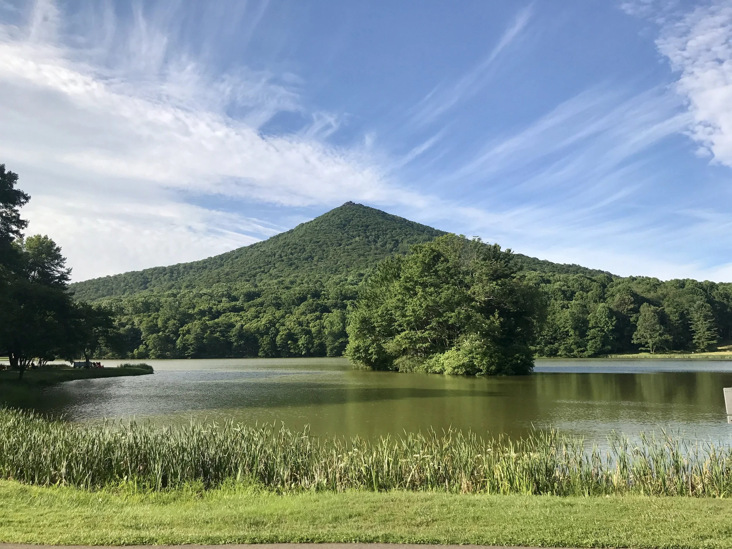
One of the Peaks of Otter.
But back to the lodge. The music was great. The food was fabulous. And the beer was sublime. There was no cell service and very poor wifi, so I reconciled myself to not writing a blog post that night. Contented, I went to sleep early in a tent at Peaks of Otter. Fyi, the word Otter, in this case, comes from the Indian word otai, which means Mountains, so I'm really at the peaks of the mountains. Or so my waitress told me.
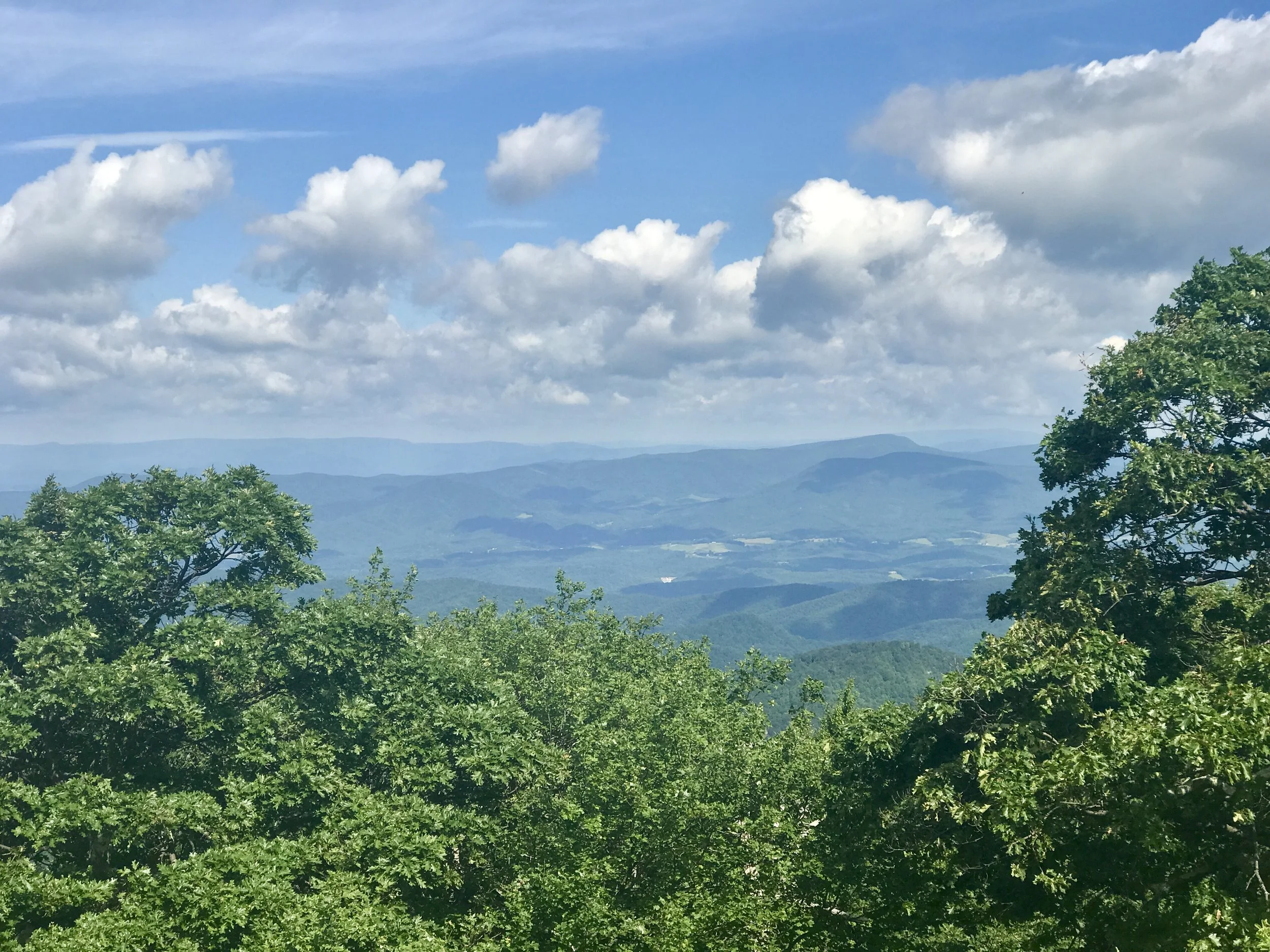
The view from Thunder Ridge.
I woke to an equally beautiful day. The lodge had a great breakfast buffet and I ate heartily in anticipation of a ten mile climb up to Thunder Ridge, the highest point on the Parkway in Virginia, and the toughest climb. The reputation is deserved. It took me several hours to make it to Thunder Ridge at about 4000 feet elevation, where I was rewarded with incredible views and a thirteen mile downhill ride at the most consistently steepest grade I have ever biked.
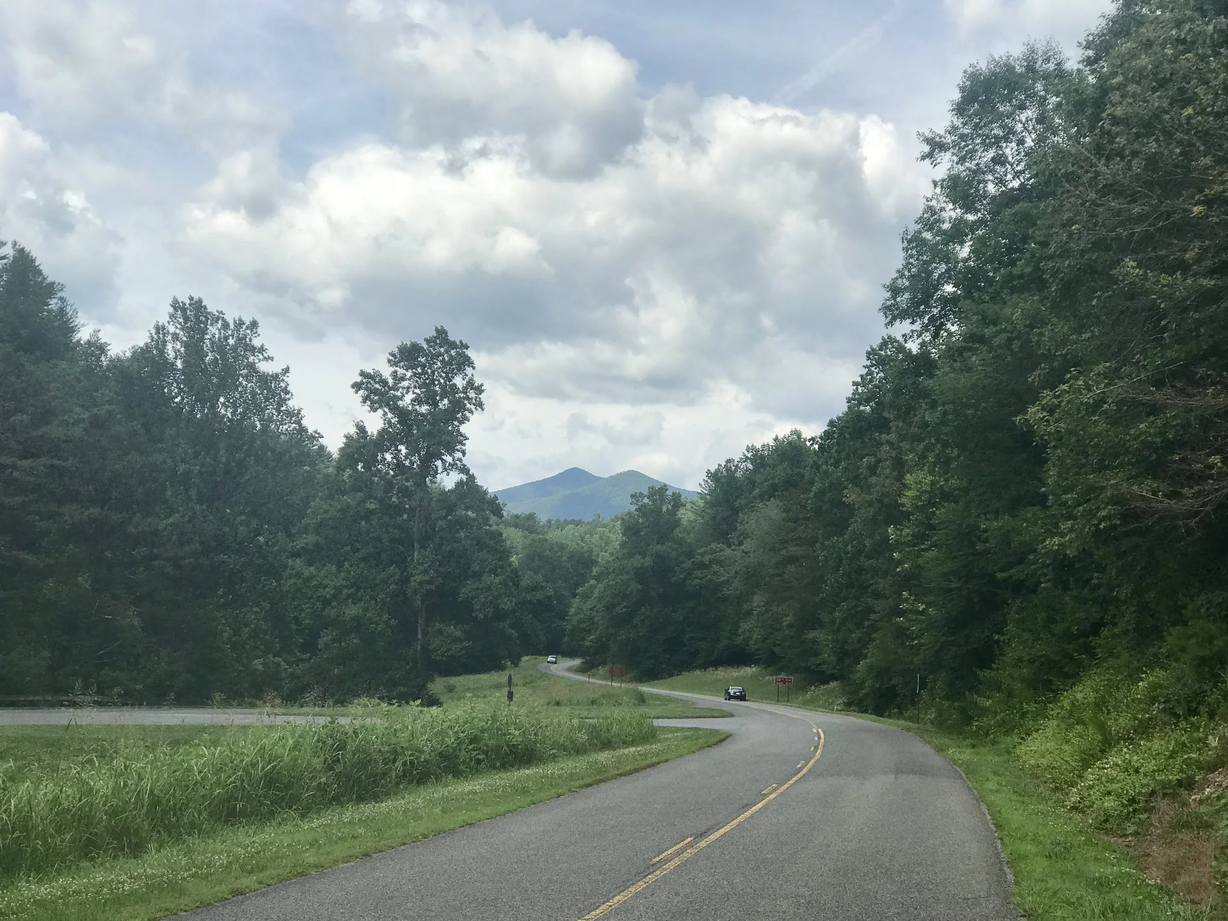
The view of the Peaks of Otter from the James River.
I flew, and tried not to overbreak to preserve my brake pads. By noon I was at the James River, which is the lowest elevation on the Parkway at about 460 feet. In another hour I had arrived at Otter Creek, the last campground on the Parkway before it ends about 60 miles north in Shenandoah National Park.
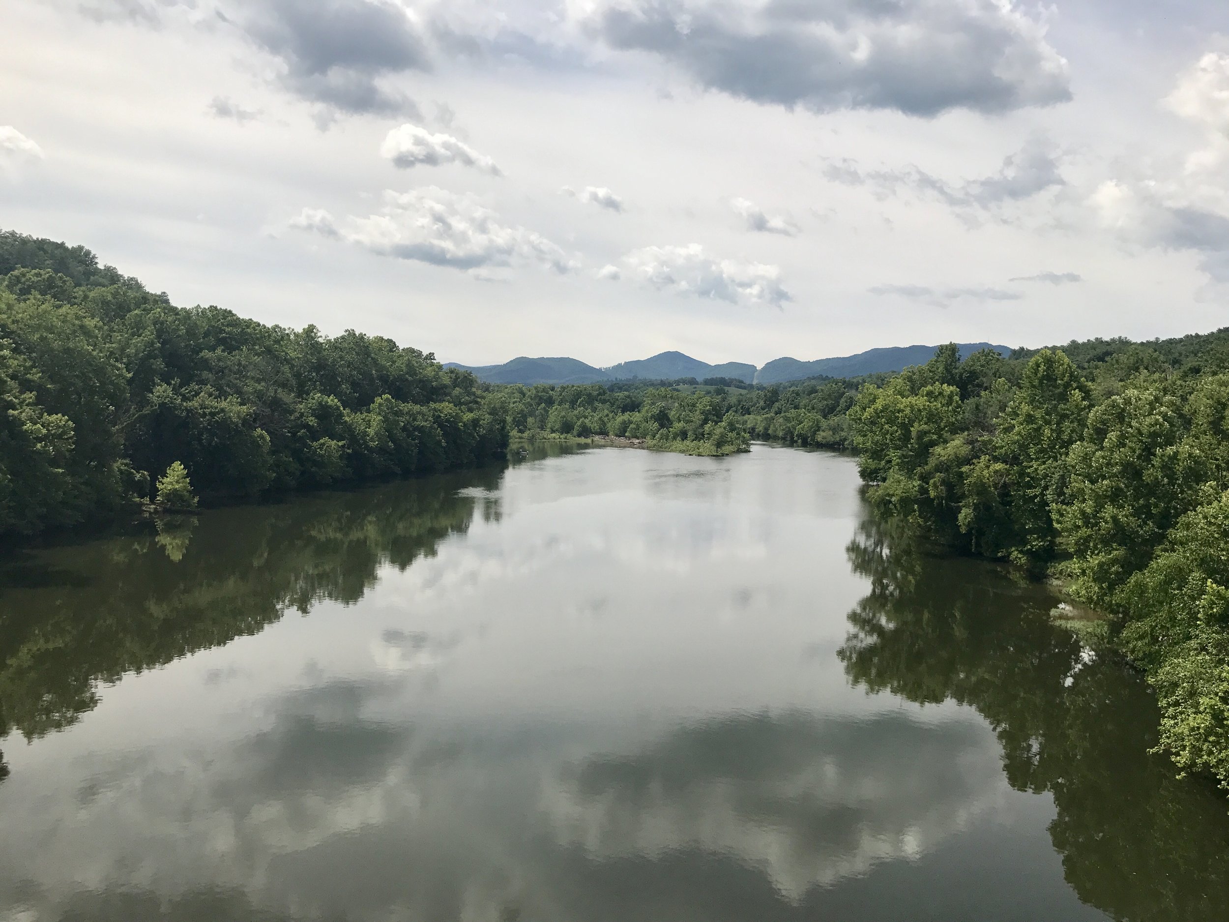
The James River.
I was getting hungry again, and although I had emergency food, I was hankering for another meal. I stopped at the campground to inquire about where I might find food. Turns out I was five miles north of a corner store that is only about a mile off the Parkway. Not so bad. And then I learned there were no more campgrounds and nowhere on the Parkway to get food until Shenandoah. Whoops.... Should I go back five miles, get food, spend the night at Otter Creek and make a run for it tomorrow to Shenandoah? If I did, would I make all 60 miles? There is one water stop on the way. The road is evenly divided between uphill and downhill runs. But I had been killing myself getting 45 miles in a day on the extraordinary hills of the Parkway. Could I do 60 plus miles without a good hot meal in my stomach, since snack food was all I was likely to find and be able to carry.
It meant not doing the last 60 miles of the Parkway, but after a lot of thought I decided to head down the Ridge about 25 miles to Lynchburg. After the Parkway the road would seem dangerous, but I could get food and lodging there, and figure out my next move.
Turns out that Amtrak runs a train called the Crescent between NYC and New Orleans that has the same roll-on biking service for $20 that the Silver Star does between NYC and Miami. So, although I was going to train it back to NYC from Washington, DC, it turns out I can do it from Lynchburg! So my endgame has changed, coming slightly sooner than expected. I'll spend tomorrow here checking out the town, and catch the train at 5:56 am (gulp) on Tuesday.
I hope to send a final post from the train (sadly, the current heat in Phoenix and Las Vegas is a harbinger of things to come - there's some great writing out there on the subject of coming heat waves - and I want to reflect on it a bit).
In any case, I hope you've enjoyed this short excursion into the the Blue Ridge Mountains. Look for more to come, as always.
Michael
Blue Ridge, Post 8
Day 13. Rain, humidity and heat do a heat rash make.
Check out my road cycling activity on Garmin Connect.
https://connect.garmin.com/modern/activity/1814910436
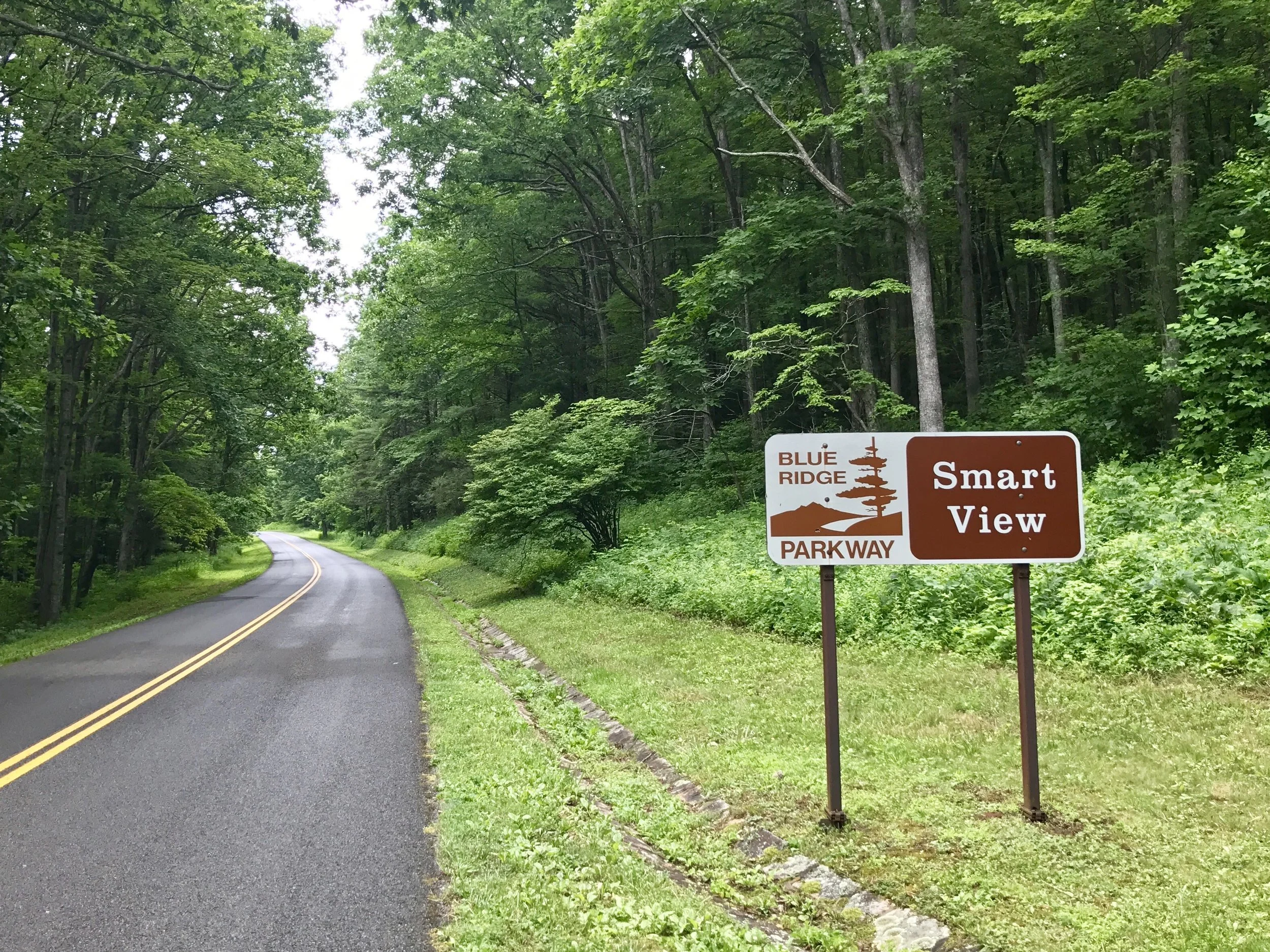
Good taste suggests that we don't disclose small health related problems, especially when we want the world to see us as capable adventurers. But I feel like I need to explain my paltry mileage stats, lest my readers think I'm lazy. Today I only covered 47 miles, the last 18 of them off the Parkway as I looked for a place to stay on a Friday night (knowing that there are so few places to stay outside of campgrounds that looking on the Parkway is likely to be unsuccessful on Friday and Saturday nights). Why not camp, you might be thinking?
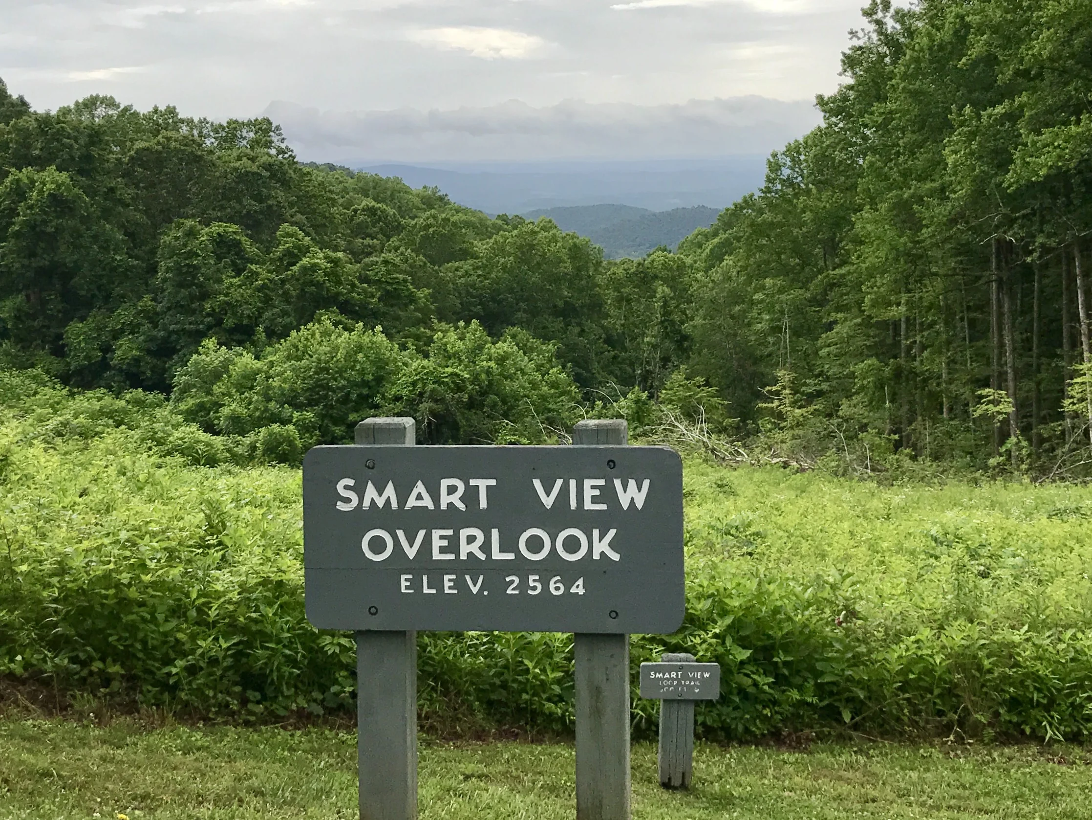
Well, I've been trying to figure out how hurricane Cindy is affecting weather over the Appalachians. It was supposed to rain on and off all day and into the evening, so I decided getting off the Parkway and finding an inexpensive motel in Roanoke was a good idea. Given how the access and egress roads work on the Parkway, I had to commit to that idea mid-day, and there was no going back.
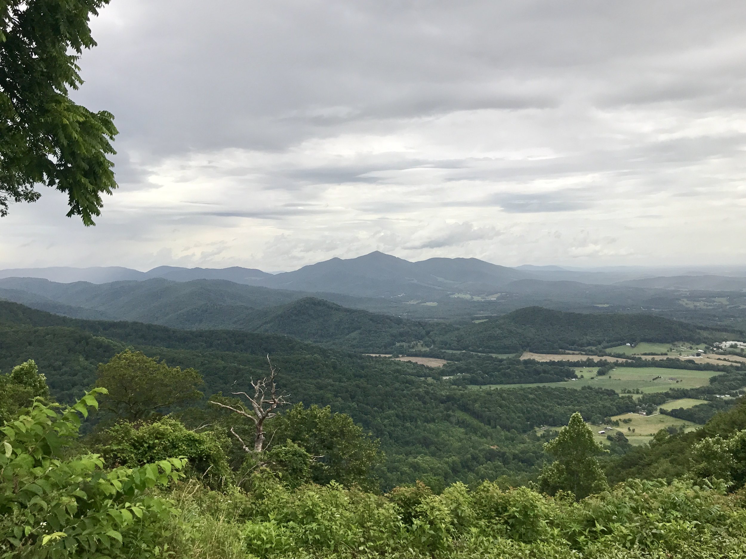
And then the unexpected happened (as it so often does). It became wildly sunny and oppressively hot - only mid 80's, but the humidity was so intense it made biking a bit of a struggle. But what is really getting to me is a new physical challenge - in this extraordinary humidity, I seem to generate random and suddenly occurring (and just as suddenly disappearing) heat rash. Imagine navigating hills and traffic with random bursts of itching, and you can imagine a guy who alternates between pleasure and sudden irritation, all at 5-20 miles an hour. In one way, the irritation gives me energy. But in a deeper level, it wears me out. So I found a run down Ramada in a weird location that has a great PTAC, and I am enjoying AC and far less humidity. And the rash has abated. But I do wonder how we humans will cope as this kind of heat becomes more routine. I had a similar thought last summer as I passed through southern Utah on a bike and my Garmin registered 117 degrees in the sun. Will there be parts of the US where large swaths of the country will be too dangerous to be in anything other than a conditioned space?
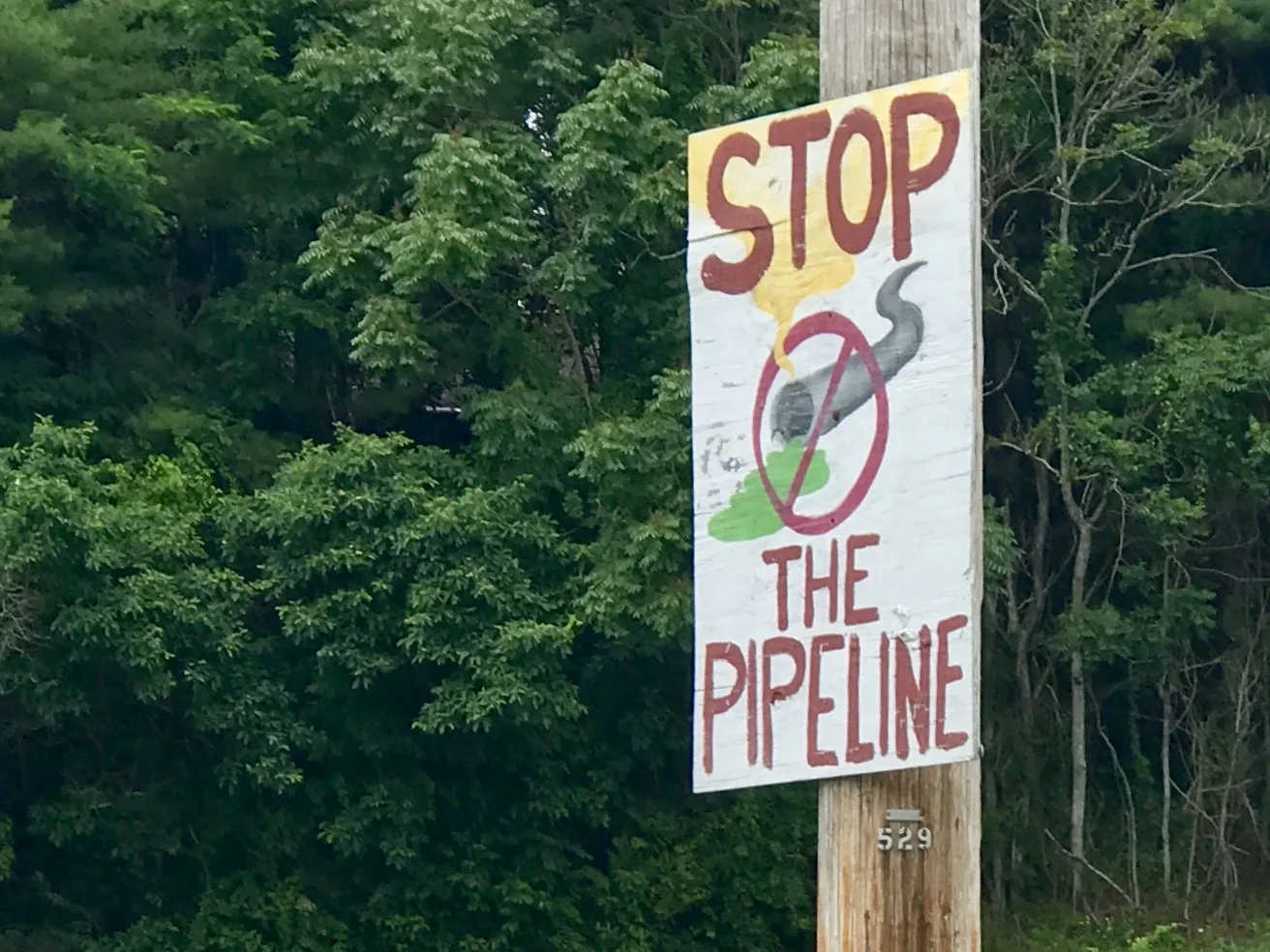
No doubt the readers of this blog understand the basic science of greenhouse gases and climate change, but as I travel around the country, I realize that many people do not. And that's forgivable - our President and the heads of the EPA and Department of Energy don't either. Yet, today I was pondering the reality that in just 250 years we have gone from 280 ppm to over 400 ppm of CO2. The last time carbon levels in the atmosphere were that high was at least 800,000 years ago. CO2 levels have never escalated as quickly as they have in the past few centuries, and especially so since about 1950 (over 25% in the last 60 years). To a thinking person, this is pretty strong evidence that humans are causing the rise. In any case, geological time is slower than human time, so we have no idea how the physics of our current greenhouse gas levels will play out. To be blunt about it - we are in uncharted territory. Adventures are great - but we may not like how the Great Anthropocene Climate Change adventure ends.
But, on a more human scale, I'll get up tomorrow and brace the heat as I pedal back up onto the amazing, pristine, remarkable, pastoral Blue Ridge Parkway. I hope it isn't too hot.
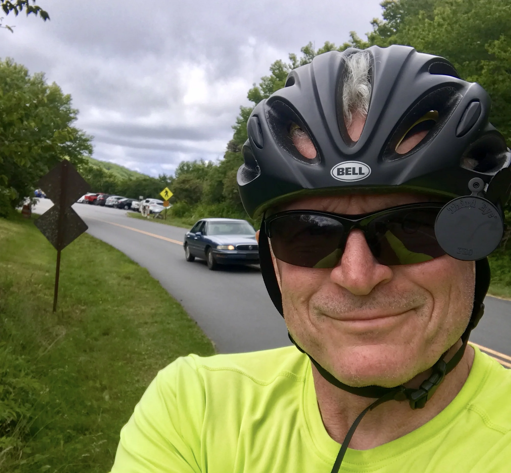
I apologize for not having a picture of sunshine. I guess I was in such a hurry to get out of the heat, I was too rash to get one.
More to come,
Michael
Blue Ridge, Post 7
Days 11 and 12, Riding the Blue Ridge Parkway
Day 11, Check out my road cycling activity on Garmin Connect.
https://connect.garmin.com/modern/activity/1811469359
Day 12, Check out my road cycling activity on Garmin Connect.
https://connect.garmin.com/modern/activity/1813172727
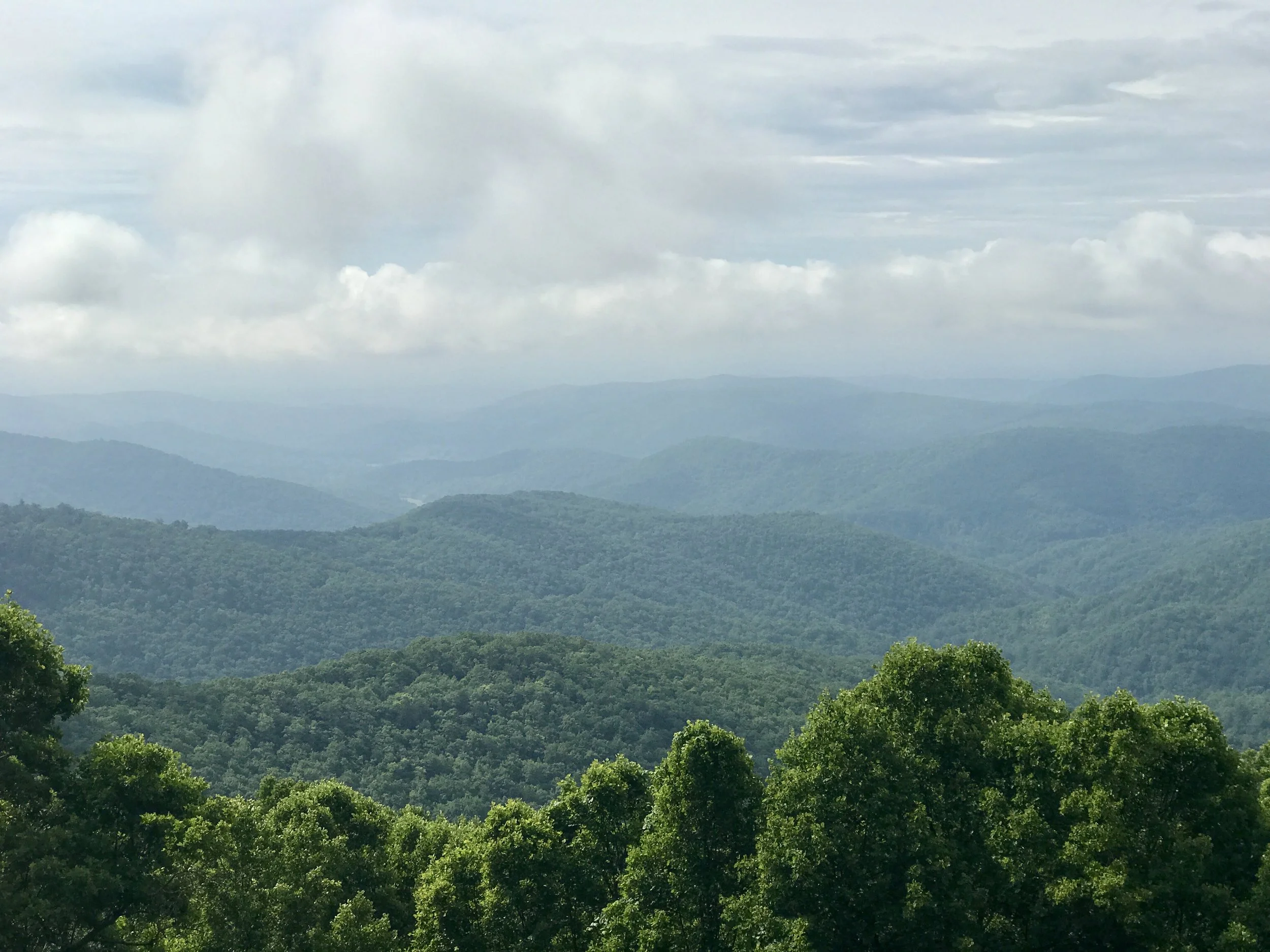
Two great days of riding. If you are thinking of cycling the Blue Ridge Parkway, be forewarned that the constant ascents and descents get a bit rough after a few days. Although not as hard as the rolling hills one finds in Pennsylvania, it gets pretty wearing to climb the constant and unrelenting long hills from a saddle to the next pass on the Ridge. The grades must be between 4-8 % on average (although I never wanted to use the battery power on my bike computer to find out - knowing the elevations only makes me more tired). After two or three days, the longer hills (lasting 2-3 miles) get discouraging. The downhills are fabulous though, and no matter whether one is going up or down a hill, one is always rewarded with yet another superlative view.
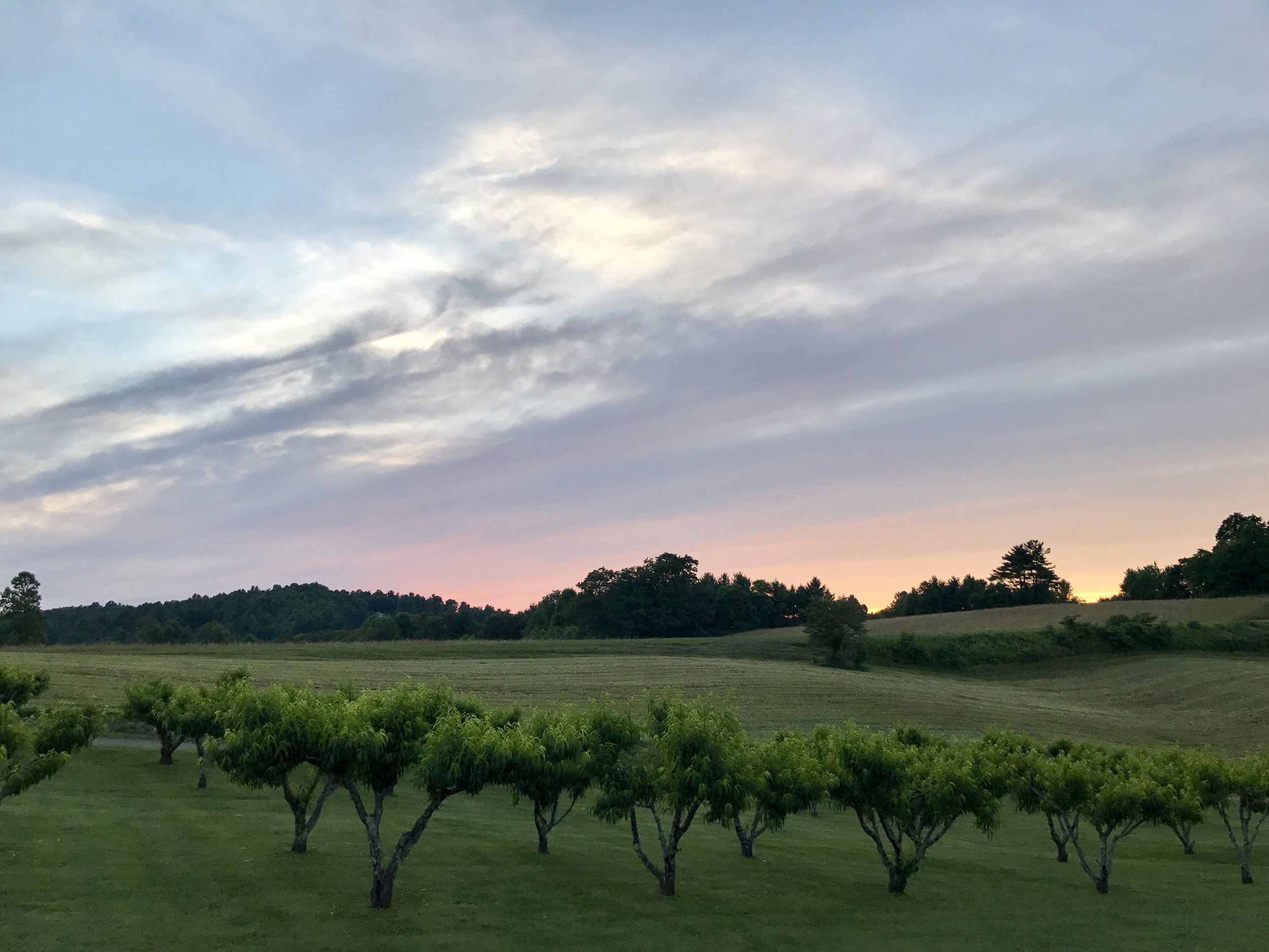
Yesterday afternoon I snapped a front shifter cable about 20 miles away from my campsite. It wasn't a disaster, just inconvenient, since I was stuck in my granny gear on my front chain ring. Because I have never replaced a cable, and was unsure of how to deal with a handlebar shifter, I decided to tough it out and continue riding to the campground, where (thankfully) I could replace the cable with a spare I was carrying. Fortunately (or unfortunately?) there were lots of uphill climbs to get there, so I was stuck in the best gear I could be.
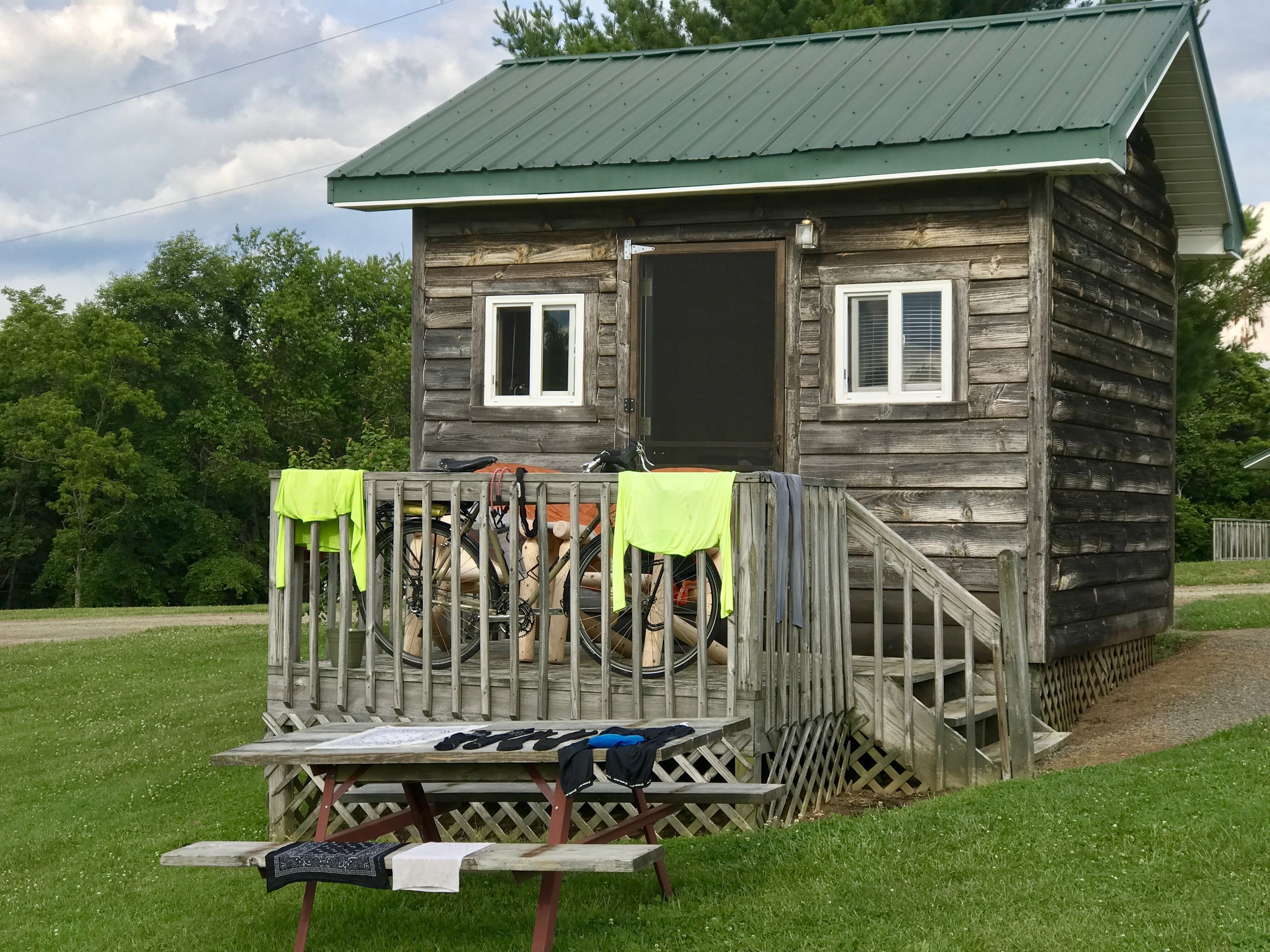
After a shower and a frozen pizza courtesy of the campground owner (food is not easy to come by on the Parkway, and come to think of it - billboards, gas stations, restaurants and power lines are also nonexistent - which adds to the charm and the challenge of cycling it), I replaced the cable. This required remembering watching fellow rider Jon Vara's technique from a snapped cable on the Southern Tier, plus several YouTube videos that helped me think through bar shifters and the vagaries of the front shifter - one of the more complicated parts in a touring bike. I admit I still don't quite understand set screws - clockwise and counter clockwise - the mechanical logic of how exactly they limit the shifter has not dropped into my brain yet. But I fixed the cable anyway after losing, and finding, several nuts in the grass and then losing, and finding again, an allen wrench blended into a picnic table just as the sun was setting. And I didn't forget it was the longest day of the year, so I took a little time to honor the solstice.
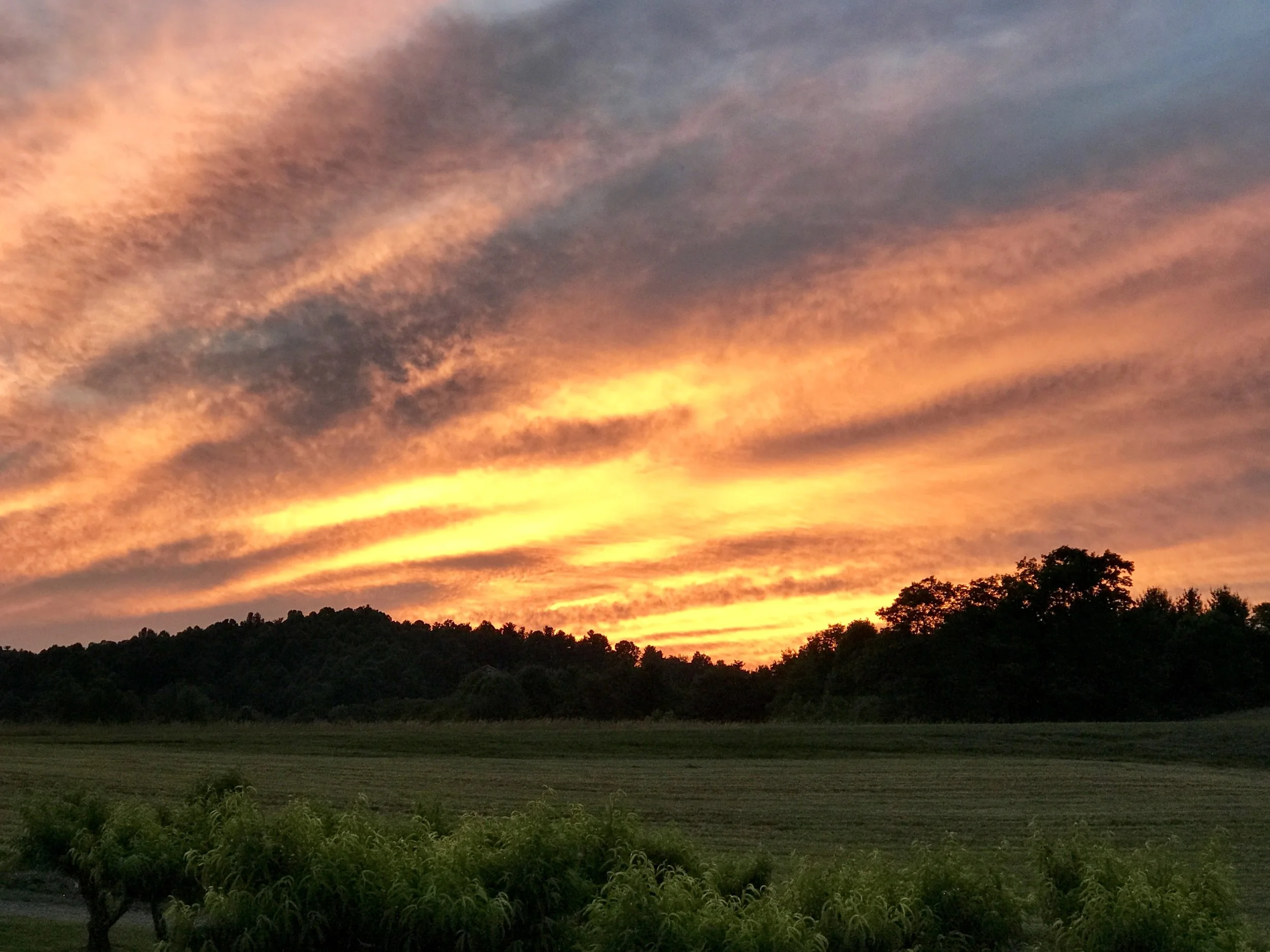
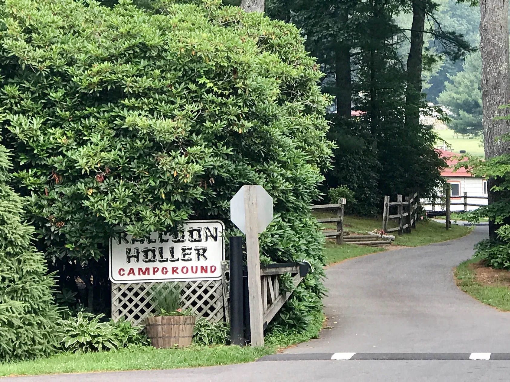
Two days ago I slept in a campground in Racoon Holler near Laurel Springs. While I was setting up camp, three different men stopped by to talk to me. They were each about my age. The first was walking with a cane. He asked me where I came from and was skeptical about my answer. He really couldn't get his mind around the idea that someone would bike anywhere more than a mile or two. While we were talking a second man drove by in a golf cart. If you haven't been to a private campground in the past few years, please know they are full of RVs and golf carts. People drive to the bathrooms to pee. They bring their house, and drive their car around the campground. It's just like being at home. In any case, the second guy started telling the first guy that people biked everywhere these days, and he mentioned some biking festival in his hometown nearby as proof. Then the guy with the cane got into the golf cart, and they drove off together to the bathroom. I continued to set up my tent. At some point I looked up and another man was standing next to my bike staring at it. He asked me what kind of bike it was. I answered, and then he began peppering me with questions - how much weight could I carry? How far could I go in a day? How did I map out where I was going? What did I do when it rained? How did I eat? I could see he was genuinely interested, and I was grateful for his interest.
Some years back, I watched two older guys bike into a campground in the Yukon, and set up camp lickity-split before my ex-wife Chantal and I could finish setting up ours. Later I talked to one of the cyclists. I remember a few salient things from the conversation - biking is as intimate an experience with nature as backpacking, and the bike carries the weight. And you can go a lot further. Although I can remember encountering a few other long distance cyclists along the way, I am certain it was that particular conversation that provoked me.
Who know how stuff gets in our heads? But it happens.
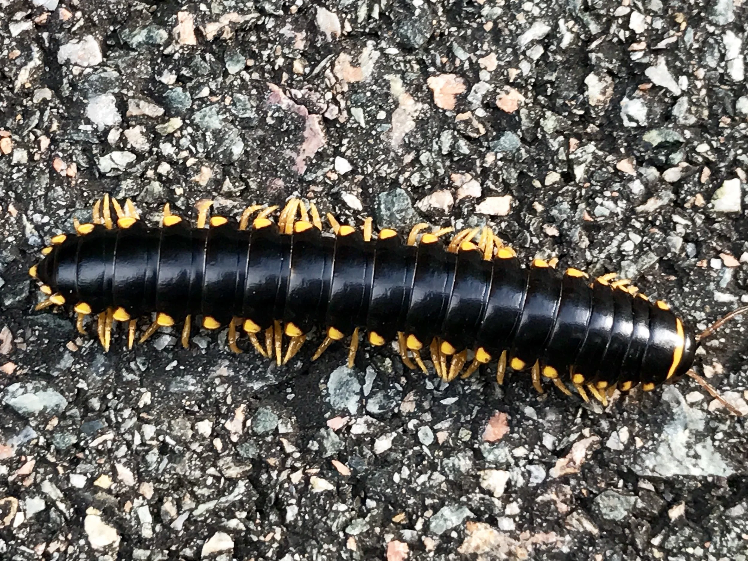
I keep thinking about climate change and patterns of migration - humans and animals. On some level, we are all hobos, either by choice or by happenstance.
More to come,
Michael
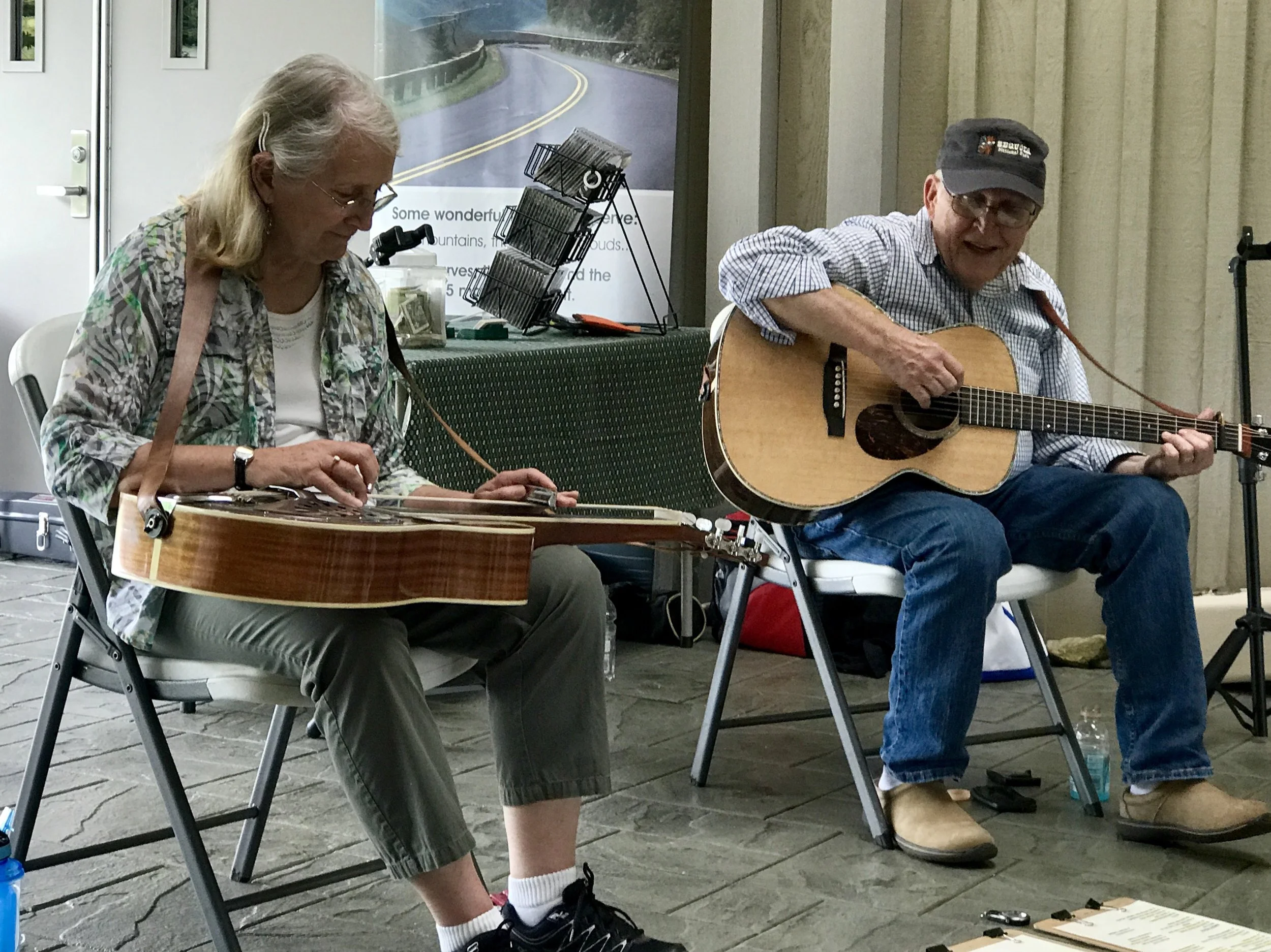
Musicians at the Blue Ridge Music Center on the Parkway.
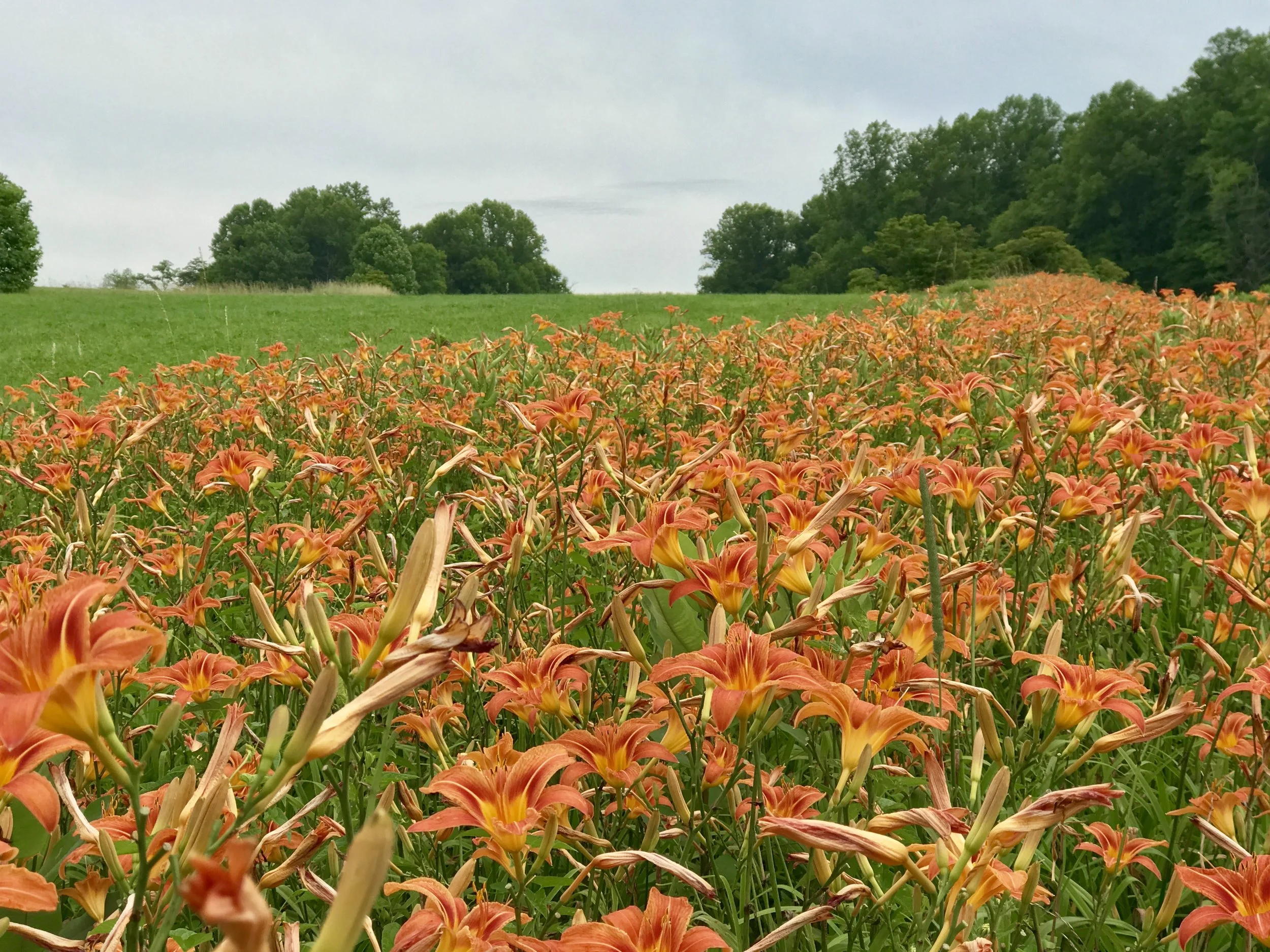
Day lillies on the side of the road.
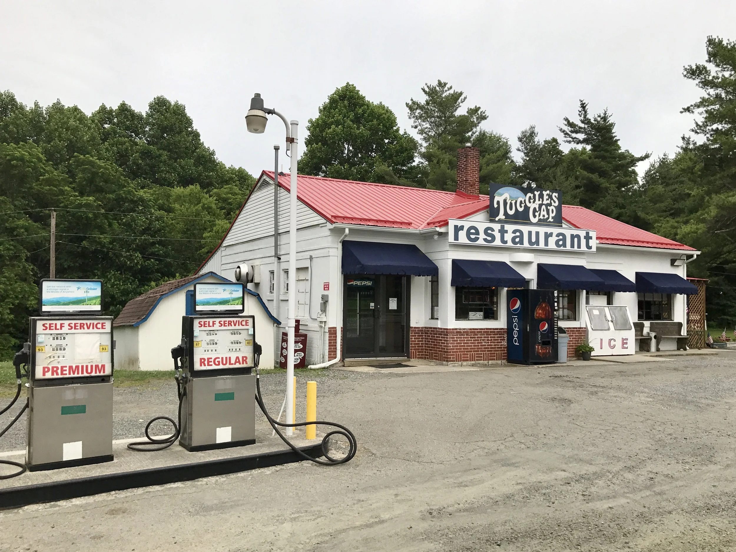
Dinner! Edward Hopper would love this place!
Blue Ridge, Post 6
Day 10, Riding the Blue Ridge Parkway
Check out my road cycling activity on Garmin Connect.
https://connect.garmin.com/modern/activity/1809415387
Forgive me for such a light post this evening, but I am camping and running out of light.
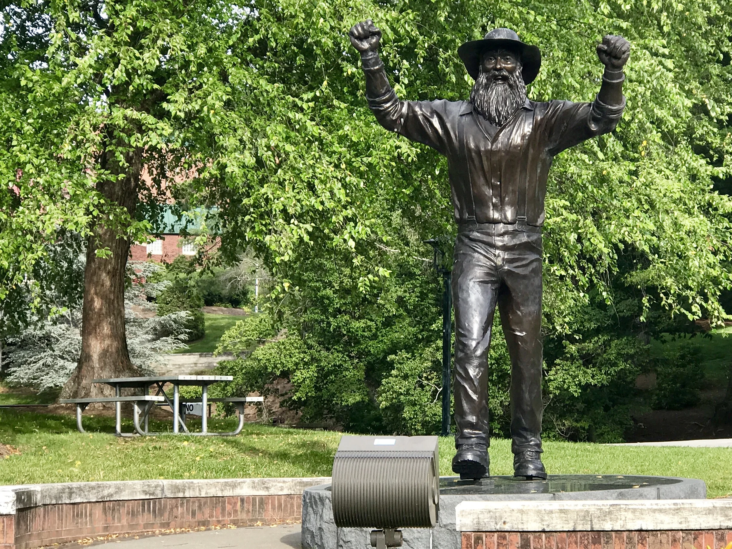
The ride out of Boone was a pleasure. I had to go north away from the Parkway at first to avoid a highway I didn't want to cycle on. Consequently I ended up riding into the campus for the Appalachian State College. What a pretty place! There's even a statue of - you guessed it - Daniel Boone.
I made it back to the Parkway without too much effort - it's amazing how much harder things are at the end of a day of long ride than they are at the beginning. The eggs and waffles I ate on the way up probably helped.
All in all, it was a fairly easy day, although there is work in following a ridge from pass to saddle to pass all day. I did a lot of climbing. But because each run (up or down) lasts a few miles, I was also able to get in some great downhill runs (and the opportunity to rest that comes with it). I can definitely feel my legs become stronger and more responsive each day.
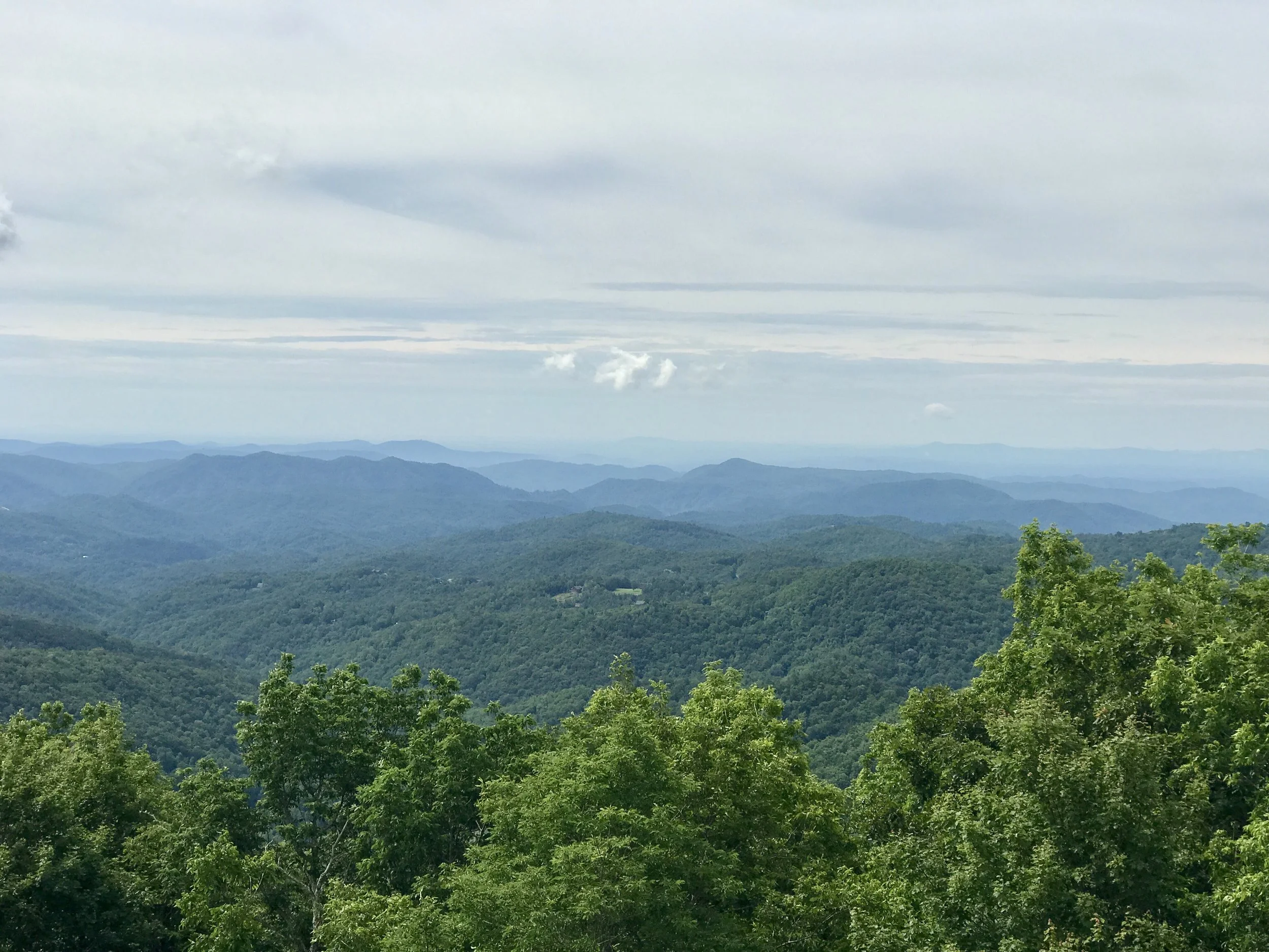
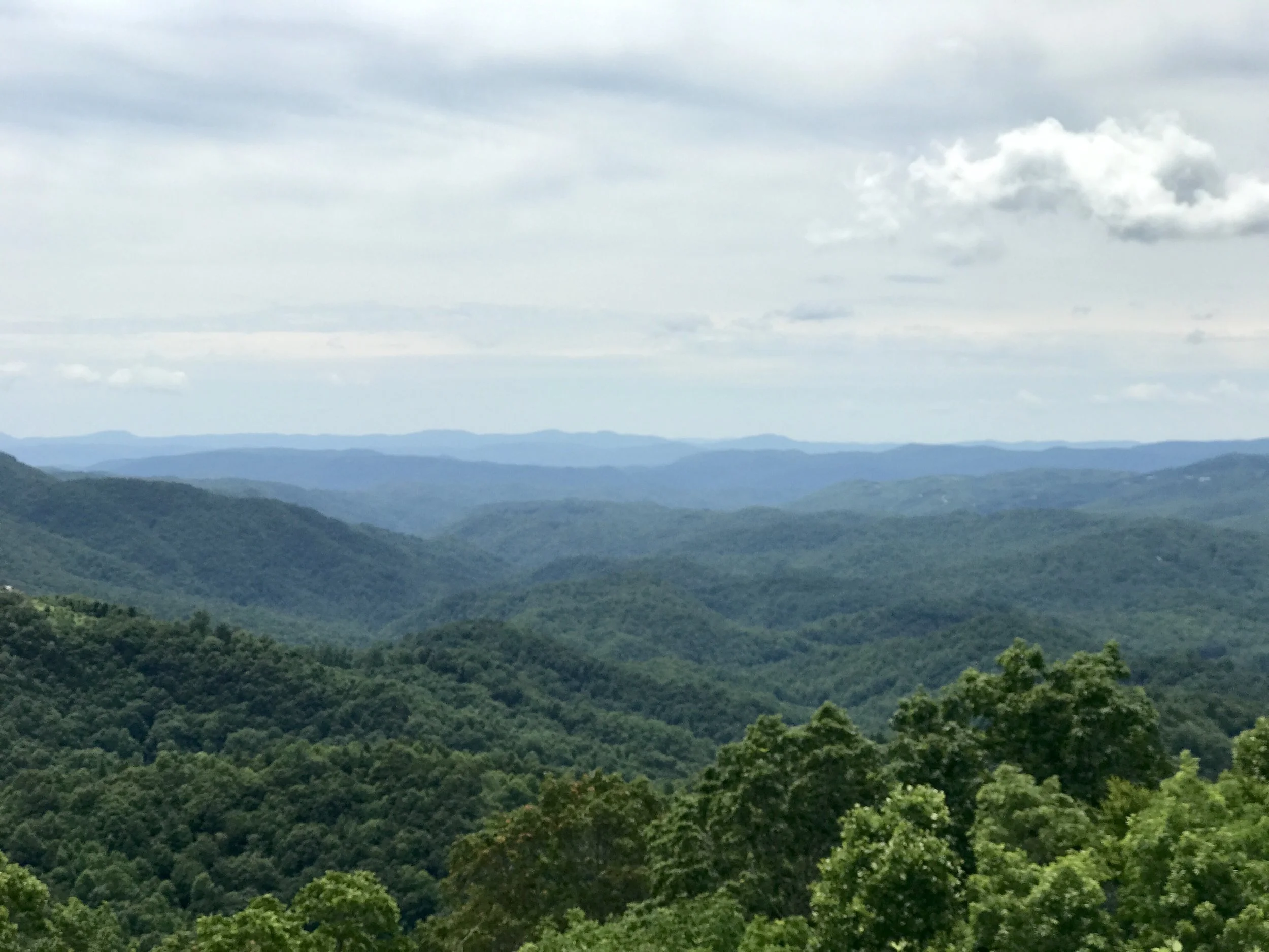
The views were as superlative today as they were yesterday and the day before.
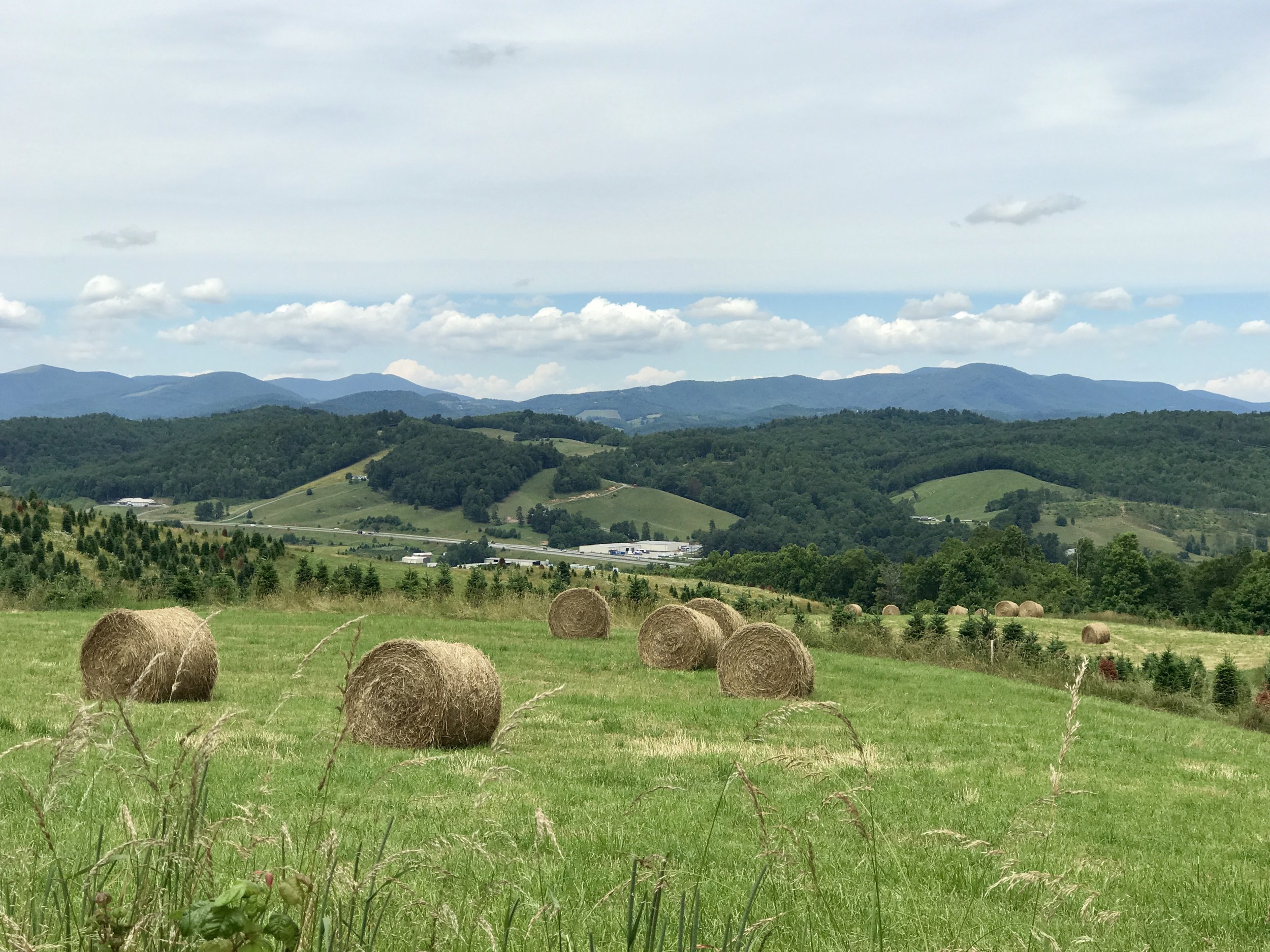
When I am going due north, there's an interesting difference in the way light illuminates the mountains looking east and west. The picture directly above is to the west, the two above it are looking to the east.
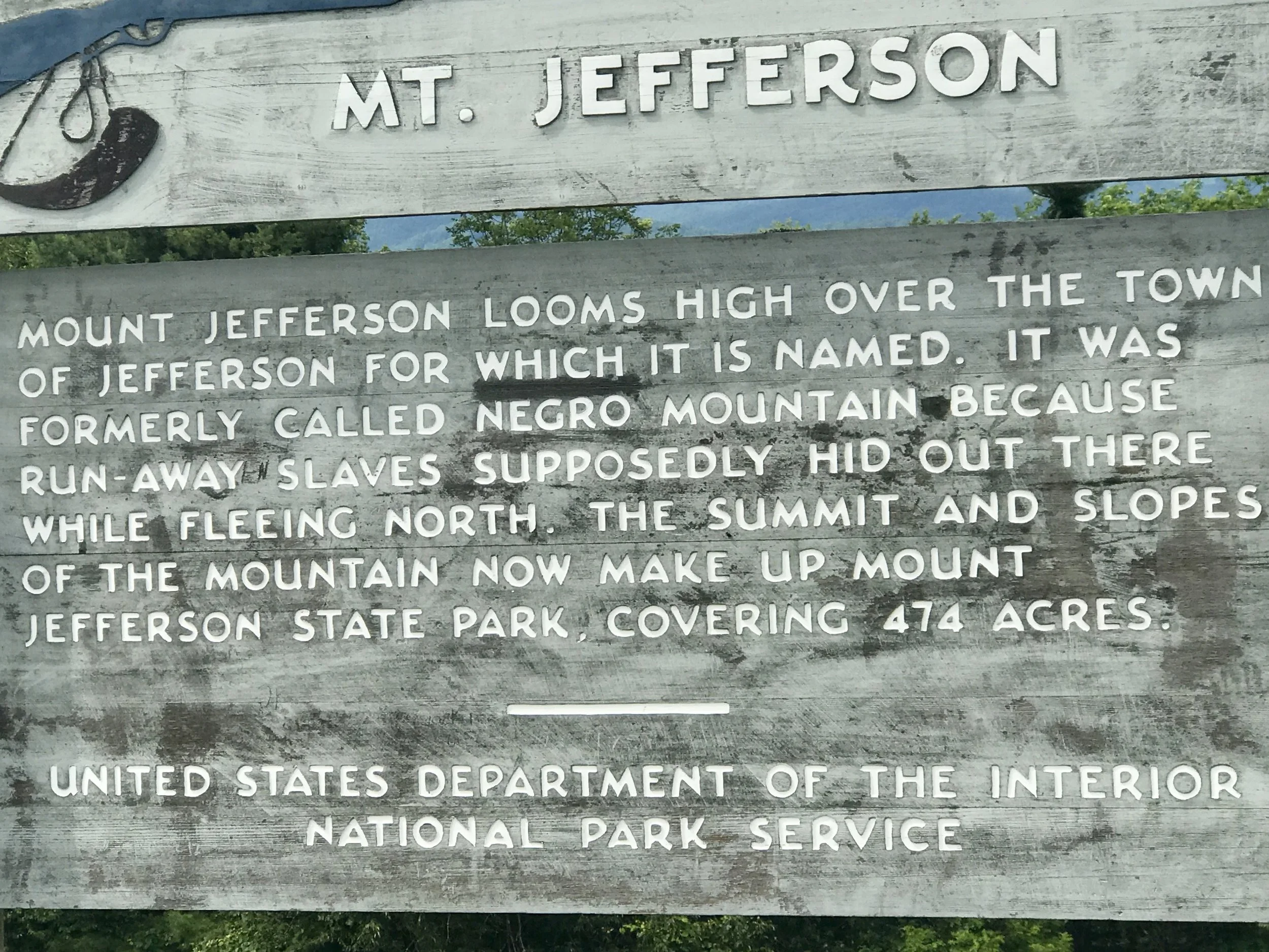
This is is one of the more interesting signs along the route. I wonder when, and why, the name of the mountain was changed?
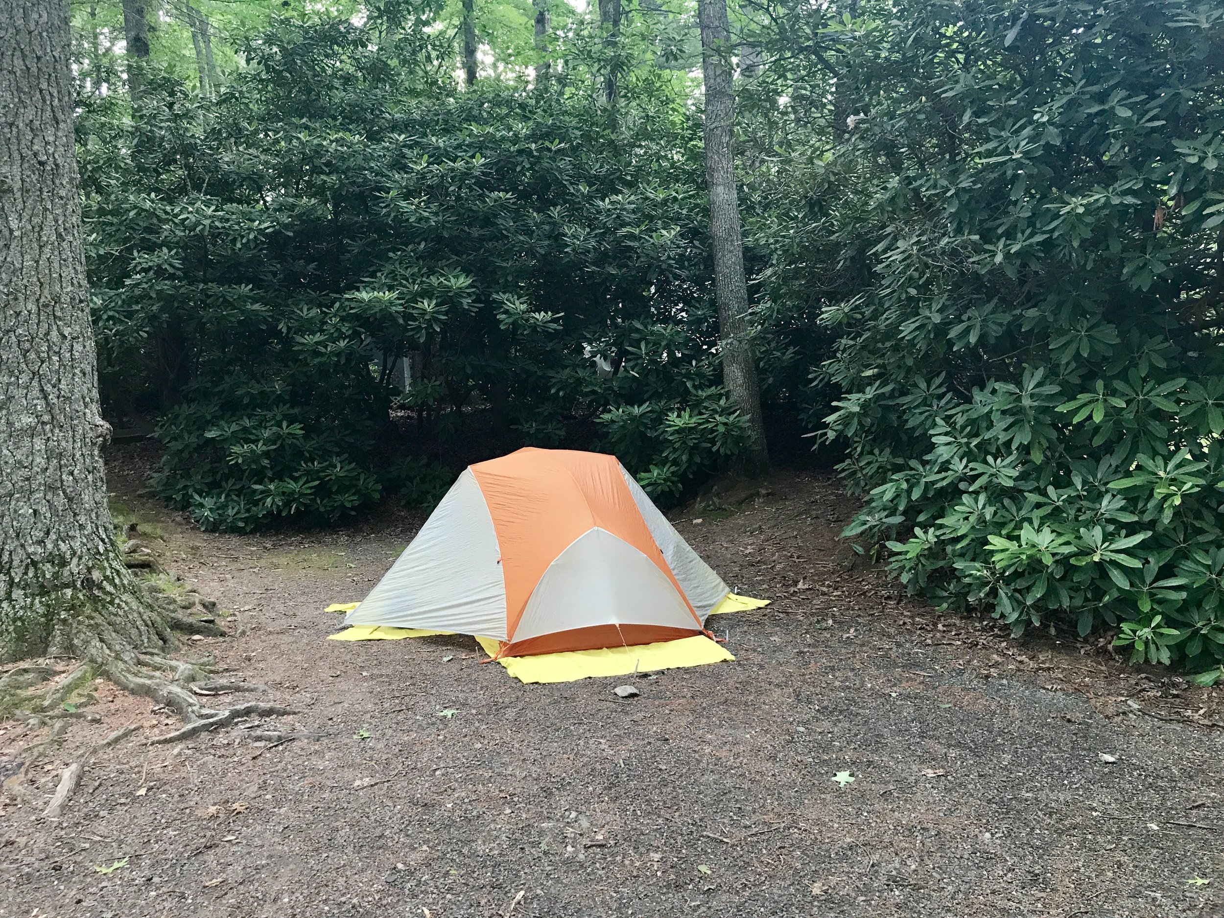
I found a pleasant campground in Racoon Hollar, where I am spending the night.
Some campgrounds are enhanced by chazke. And some are not.
More to come,
Michael
Blue Ridge, Post 5
Day 9, Riding the Blue Ridge Parkway.
Check out my road cycling activity on Garmin Connect.
https://connect.garmin.com/modern/activity/1807603259
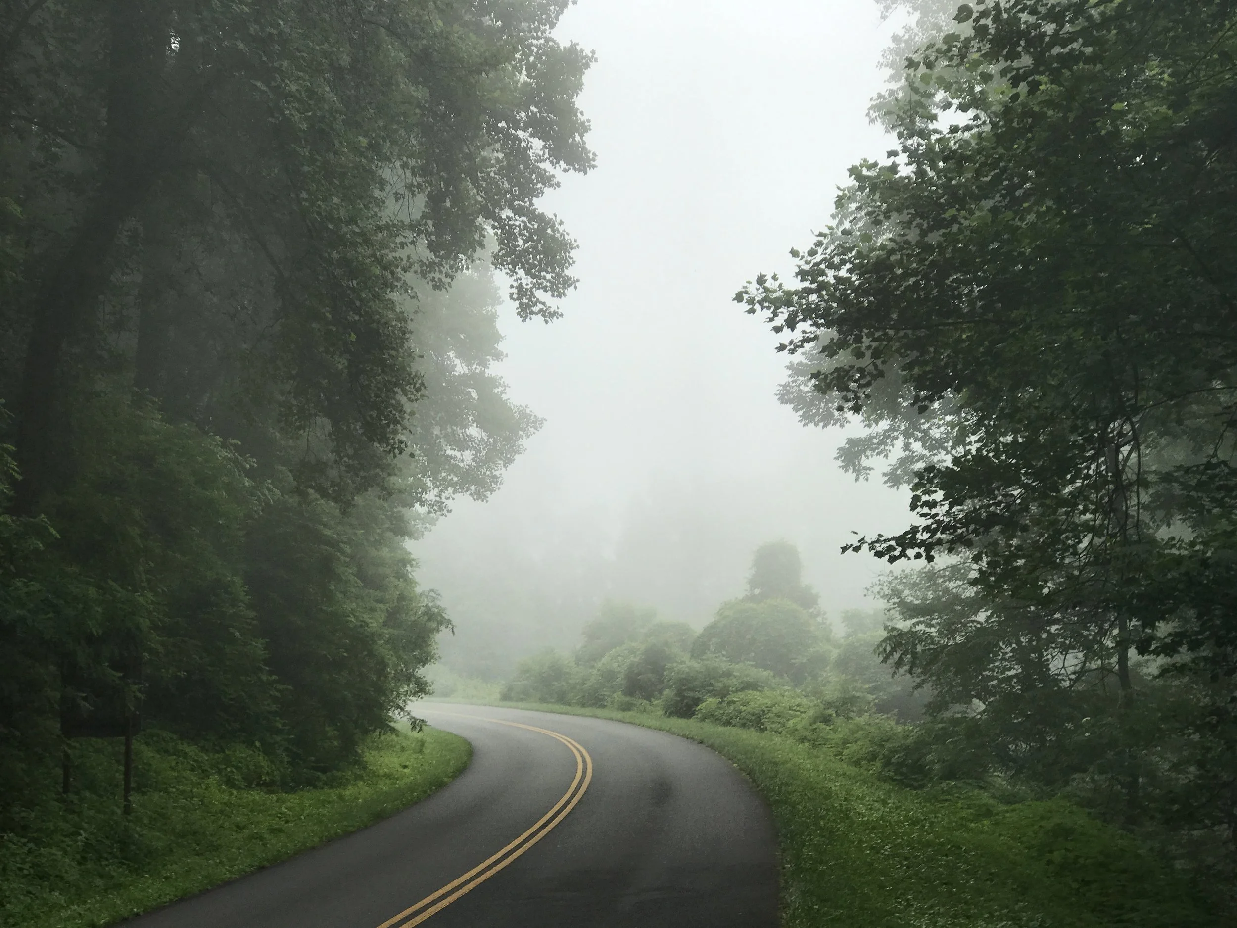
The sun was bright this morning, and then it went to war with the clouds. By the time I was ready to leave it had lost, and was mostly hidden. But visibility was good - for a short while. As I approached the Parkway the earth ascended into the clouds, and I was in the famous Blue Ridge fog I had been warned about.
It can be quite beautiful, and of course it can destroy the wonderful views. But there is beauty in all of nature's displays, if one knows what to look for. I thought of JMW Turner. He knew what to look for - he might even have invented fog.
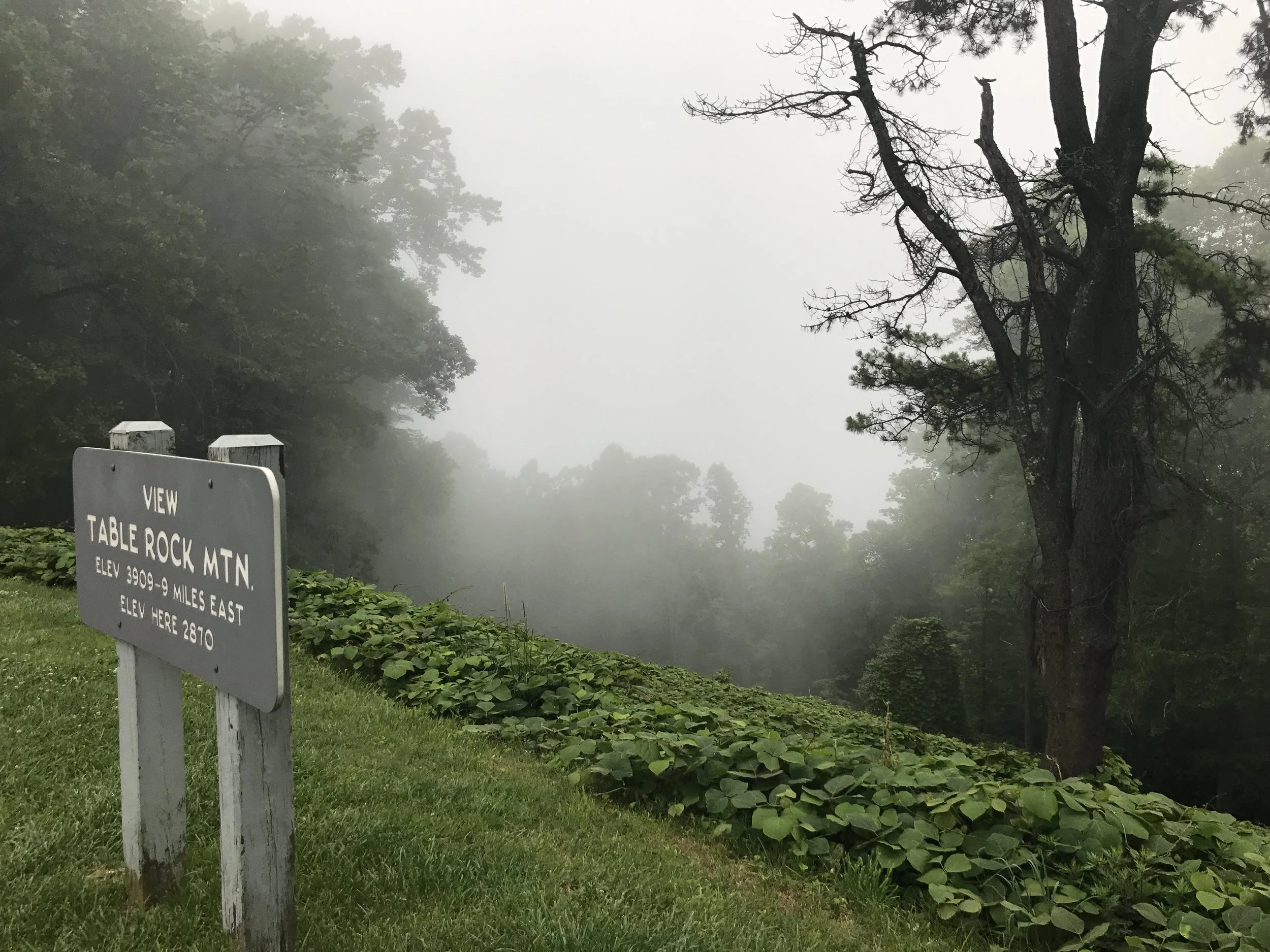
So even though the views were compromised, I found it all breathtaking.
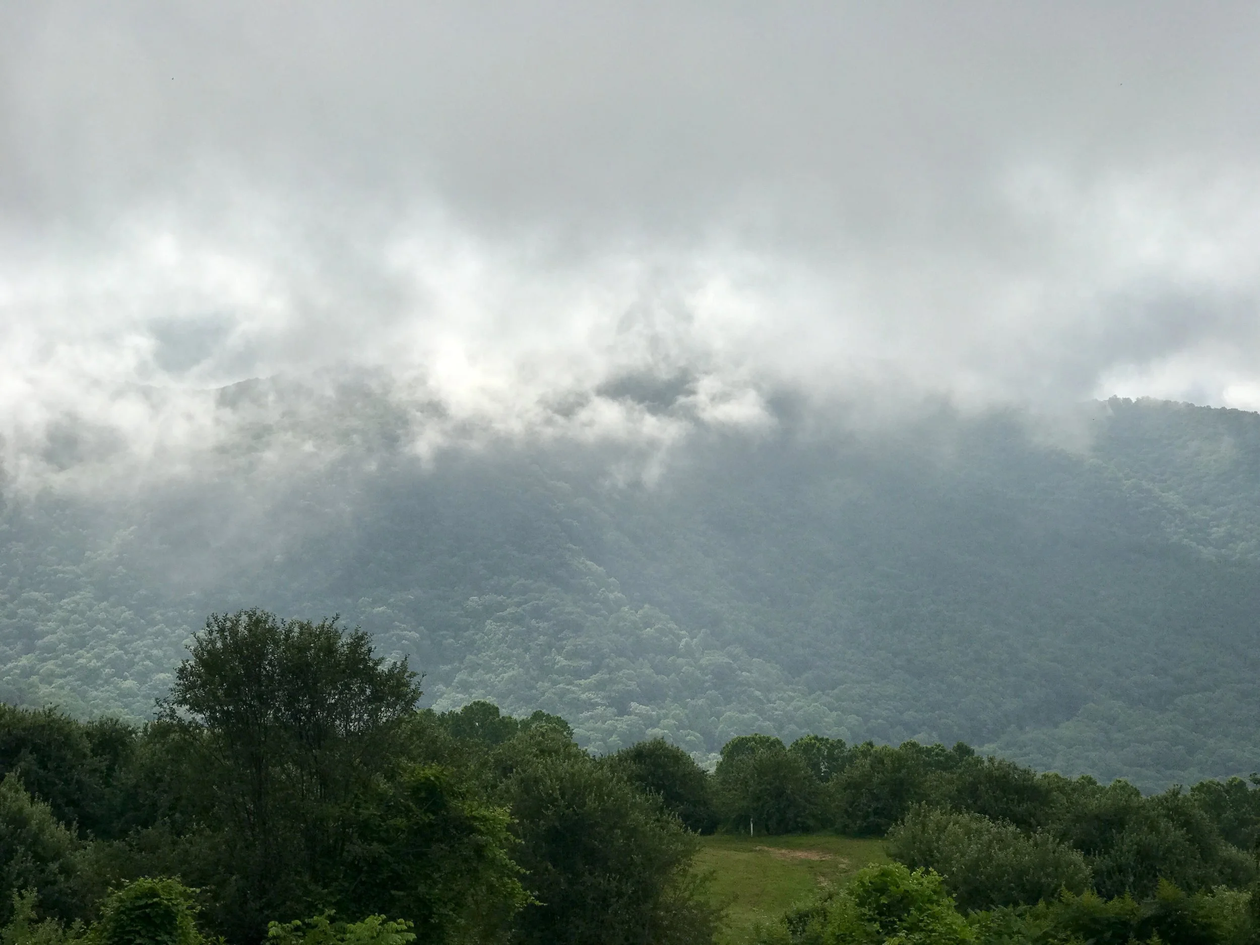
And it cleared. A little.
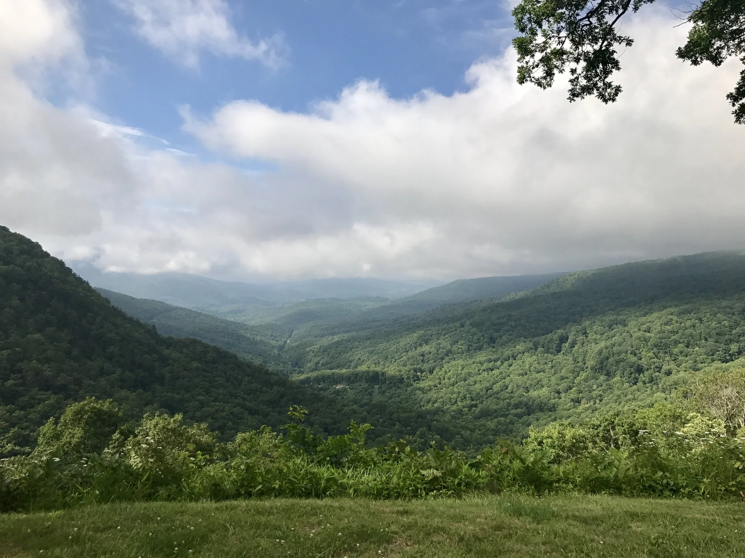
And then a lot, and the views began to emerge again. I can't say enough about how extraordinary this Parkway is. From a visual perspective it's an engineering marvel, and a lot of thought must have gone into finding the exact right turn and the best side of the crest to maximize the vistas. It's very well cared for and wonderfully accessible, all courtesy of the US government. For those of you who think that government is wasteful and inefficient, drive this Parkway. You will be forever thankful for the New Deal and FDR and the National Park Service's amazing vision and commitment to preservation. I don't need to say it, but we desperately need similar wisdom and vision in our current federal government.
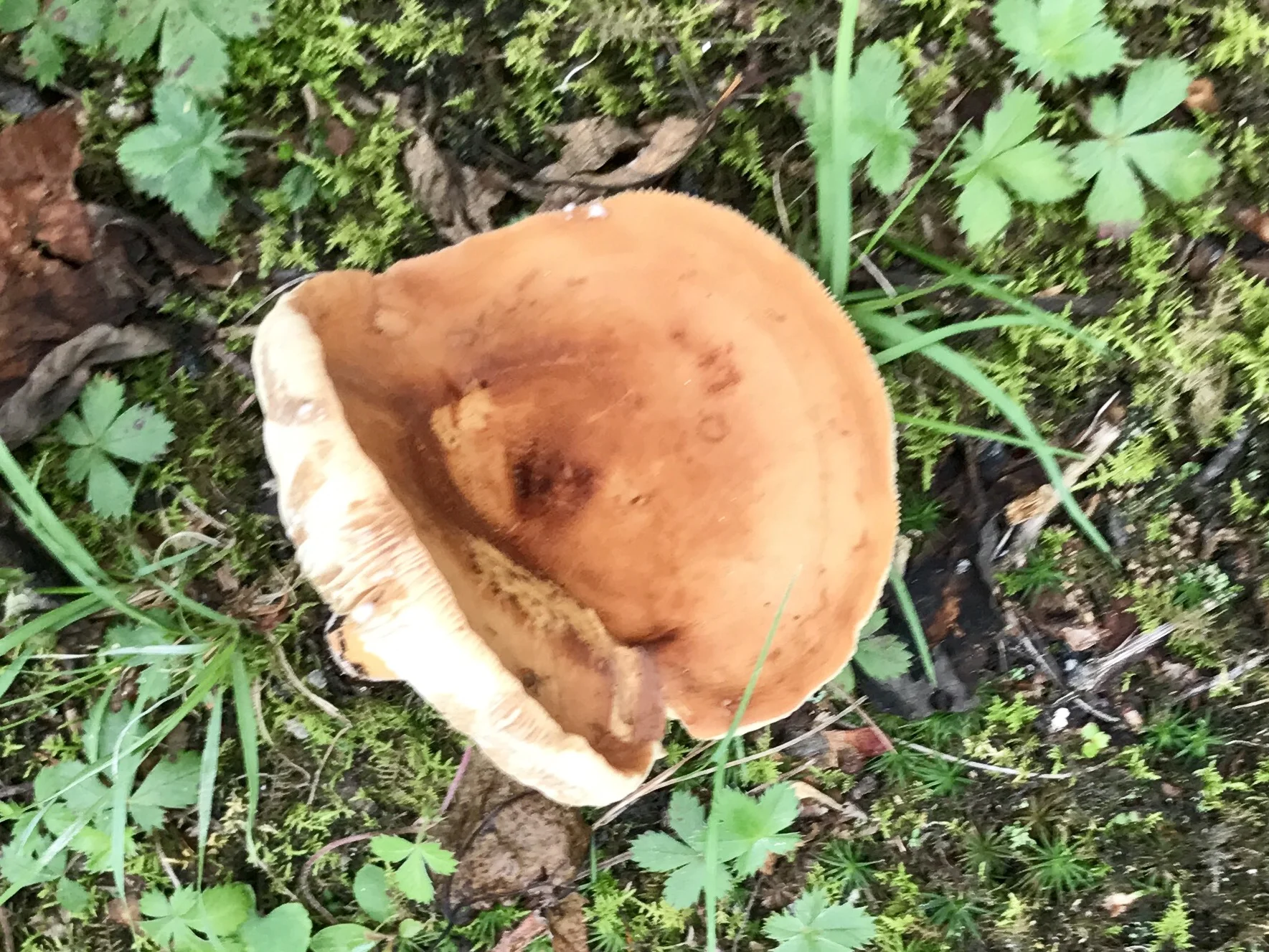
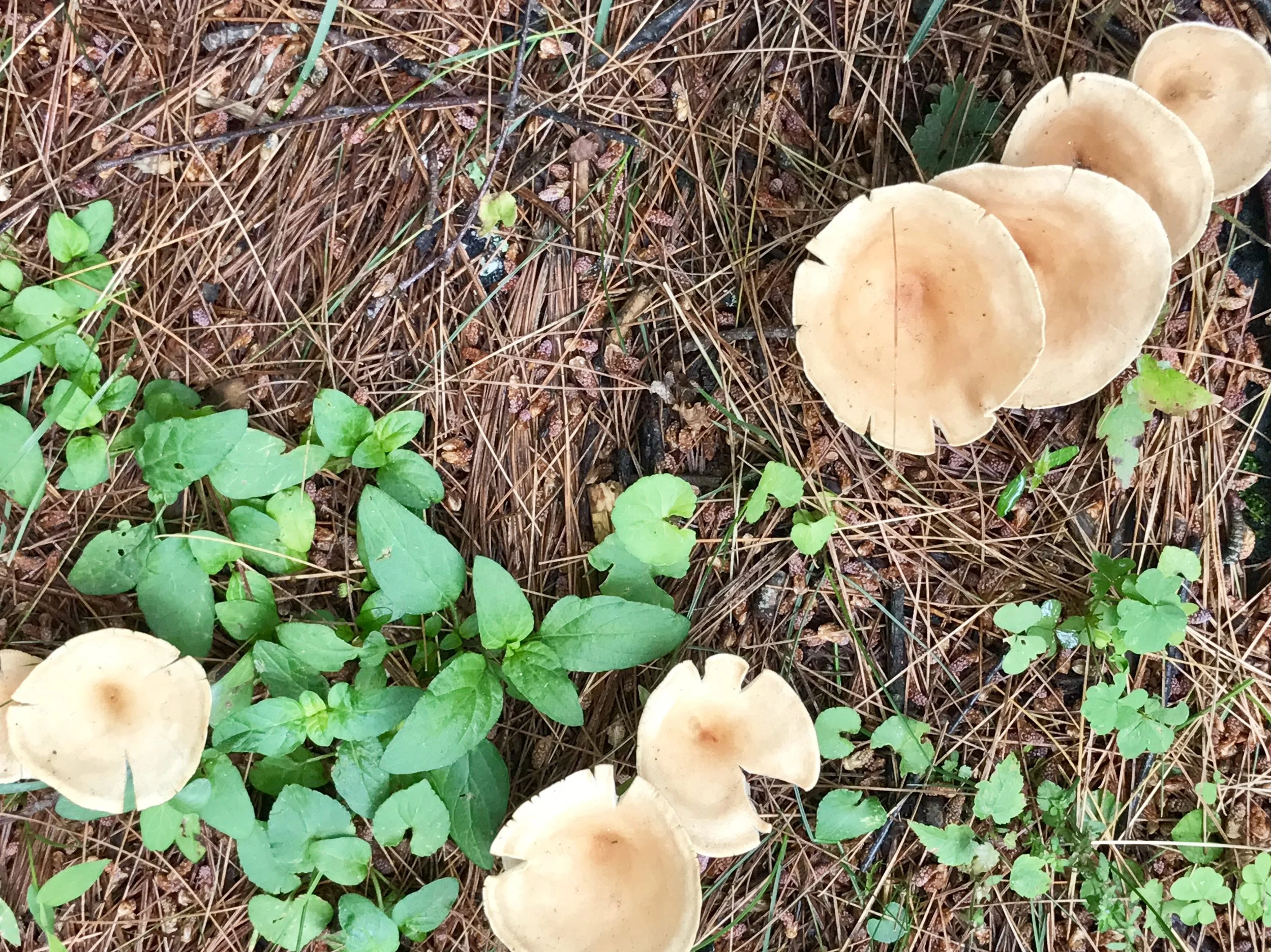
Small things can be beautiful as well. And that's a good thing because on a bike one spends some time looking down - checking gears, the chain and the derailleur. So, it's pleasant when something shows up in that visual field.
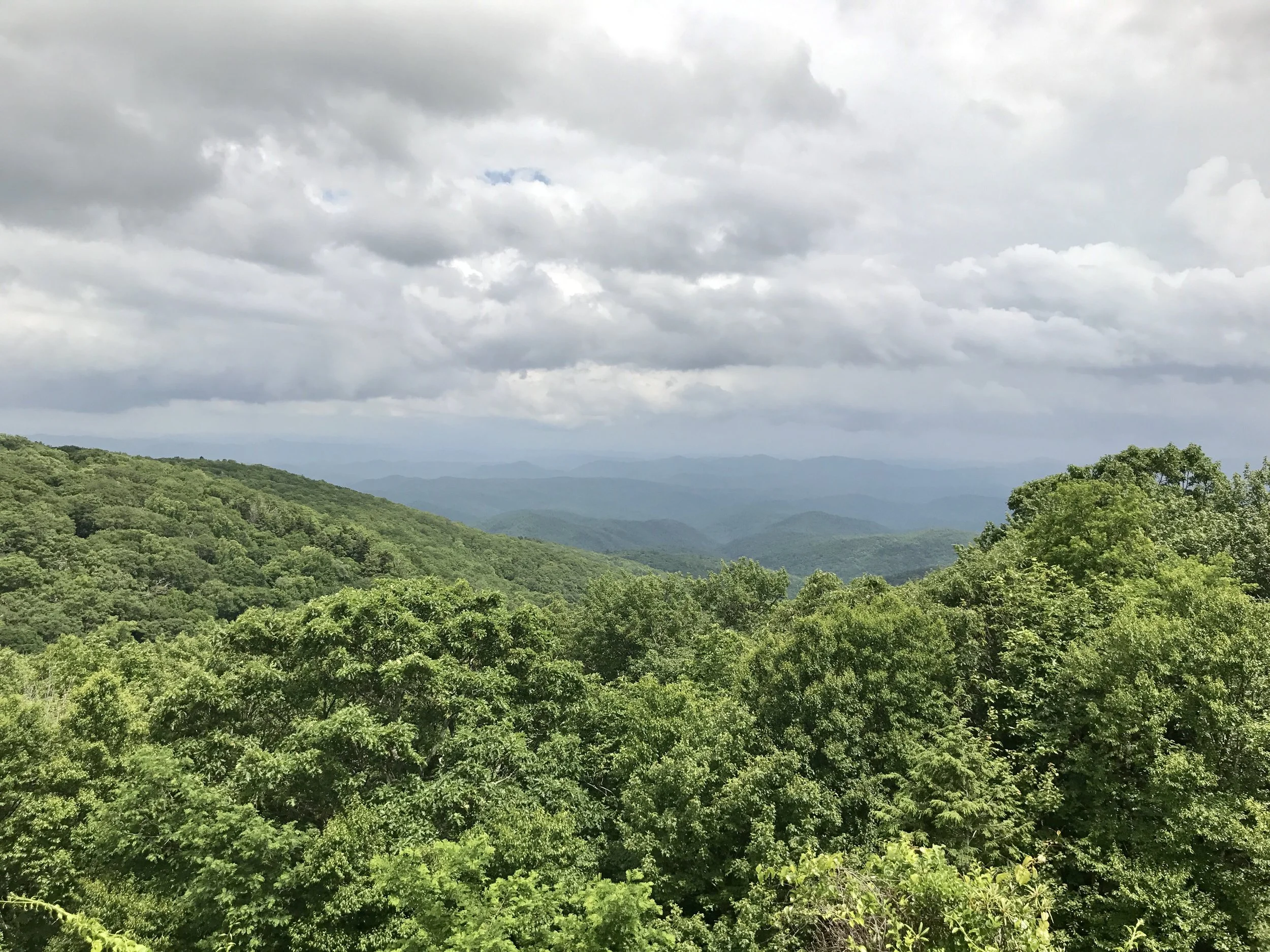
And the views stayed mercurial.
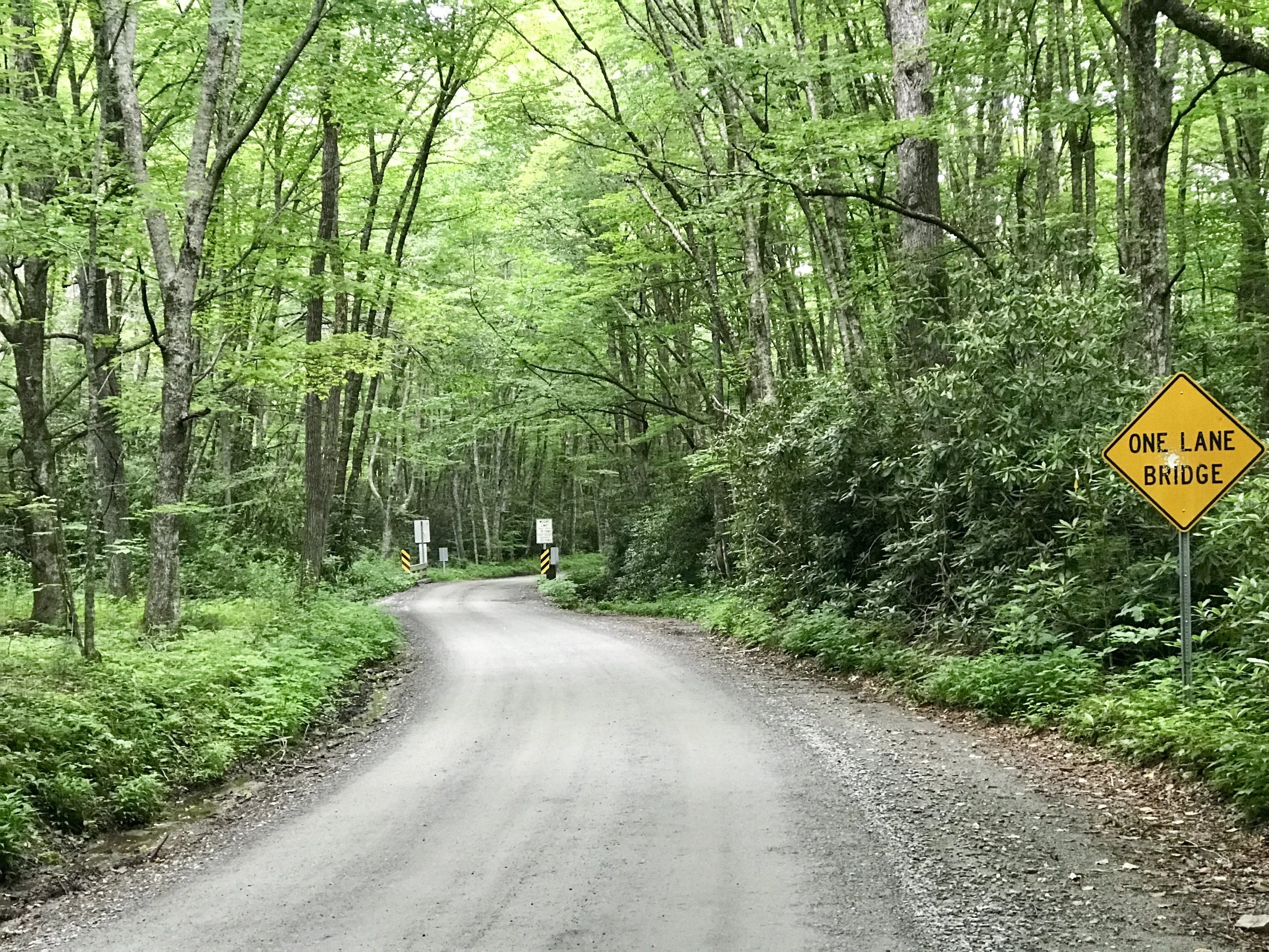
I decided to cycle ten miles or so off the Parkway to find lodging. It's supposed to rain tonight so I located an inexpensive motel in Boone, the home of Appalachian State University- a school I've been hearing a bit about since I've been down here. The ride down was intense, and I'm not really looking forward to the trip back up tomorrow, but I can't say I wasn't warned.
I'll let you know how it went.
More to come,
Michael
Blue Ridge, Post 4
Asheville and the Blue Ridge Parkway, Days 5-8.
Day 5: Getting to Asheville: Check out my road cycling activity on Garmin Connect. https://connect.garmin.com/modern/activity/1802569317
Day 8: Leaving Asheville and riding the Blue Ridge Parkway: Check out my road cycling activity on Garmin Connect. https://connect.garmin.com/modern/activity/1805806759
It was a delightful climb out of Marion past Mt. Mitchell on highway 70 to Ashville, and involved a few surprises.
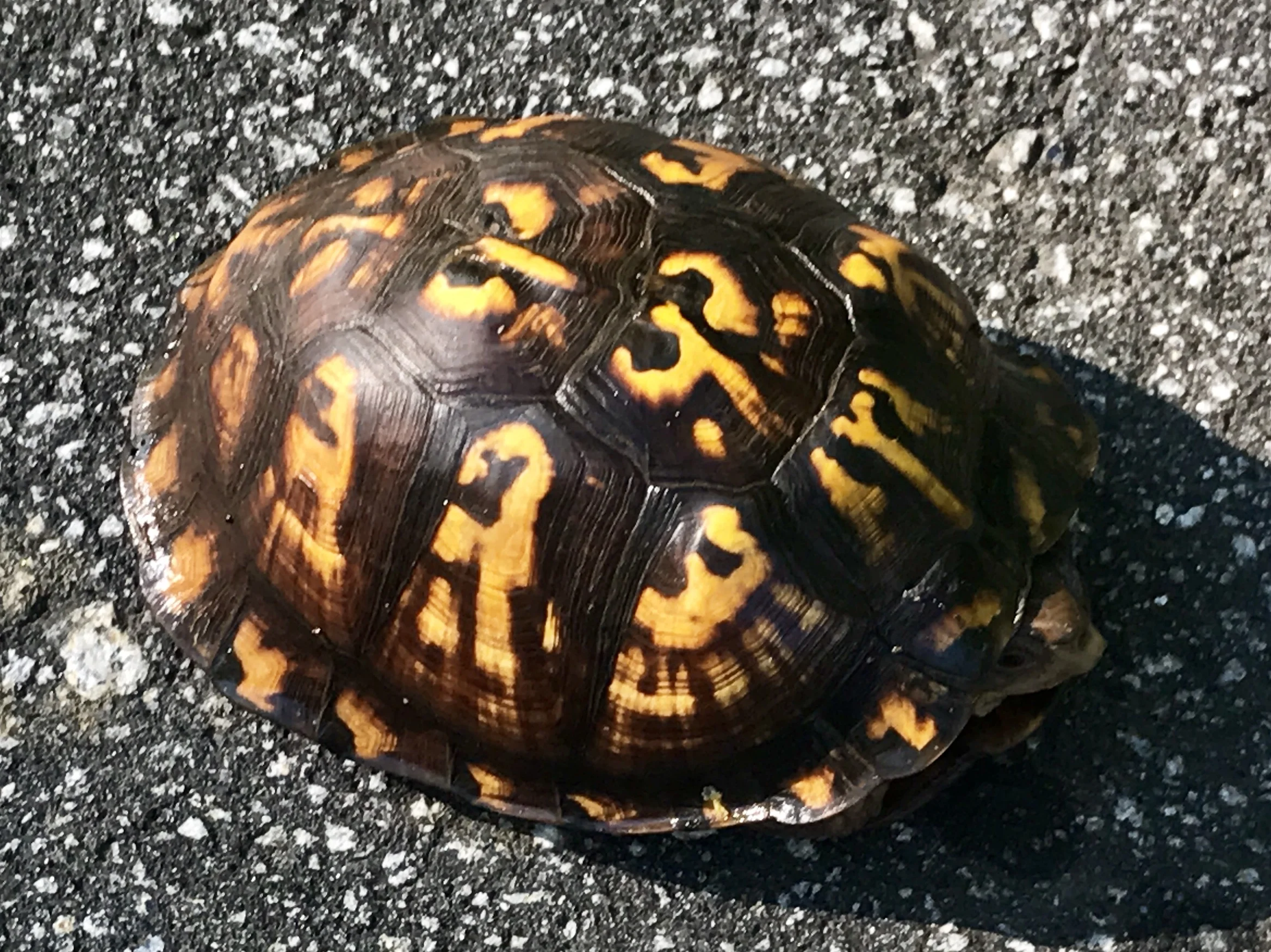
Box turtles have fascinated me since I was a kid. At one point my brothers and I owned five or six of them that we brought back from a canoe trip in the Ozarks. When I cycled through western Louisiana a few months ago I became quite intrigued with how many box turtles cross roads, and how so many of those are unsuccessful. Riding long distances on a bike reveals just how perilous roads are to animals in their necessary migrations, and I cannot help thinking how much harder we have made life for animals as we have made life easier for ourselves. In any case, I gave this lovely little guy a lift to nearby grasses before he was turned into roadkill.
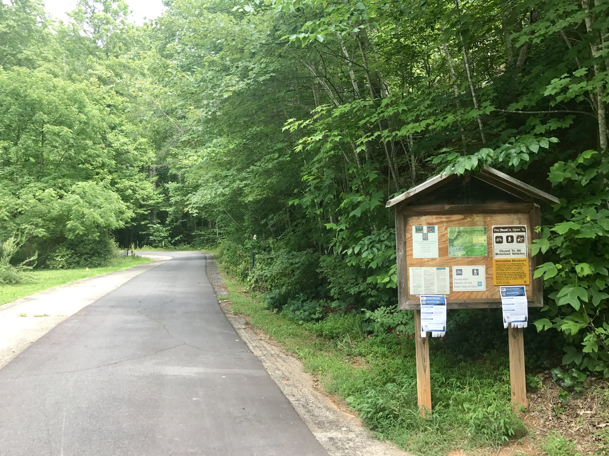
I wasn't aware that a section of highway 70 is now closed to non-motorized vehicles. This happens near Mt. Mitchell and drops into the famous old town of Black Mountain (at 6684 feet, Mt. Mitchell is the tallest peak east of the Mississippi River.) The road is long, windy, shady, and quite lovely. The only other people on this trail were a group of boys who appeared to have ridden up to the top, and were flying down on their bikes while I slowly ascended. Several of them whistled a note of "awesome" in seeing my gear and bags. It took several hours but I finally got the crest of the trail, and made my way into town.
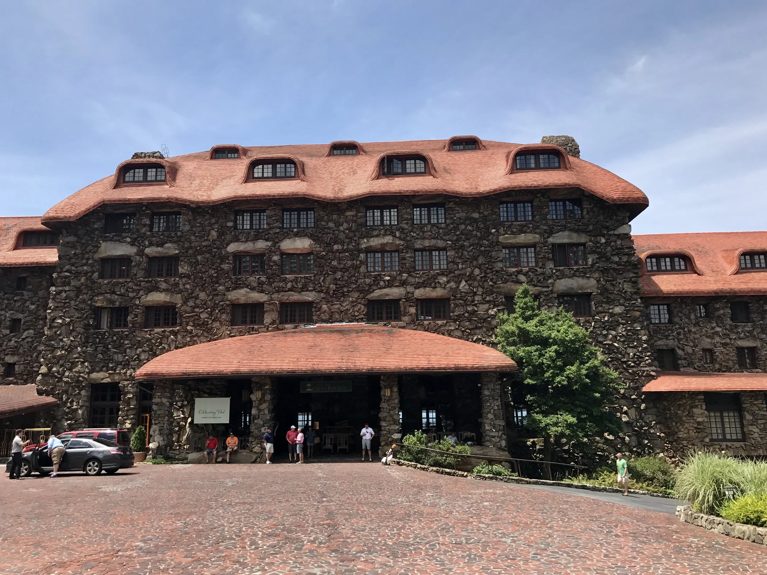
The next morning I went to visit the Grove Park Inn (aka, GPI) in Asheville. This amazing establishment is built entirely of locally sourced rocks put together like a jigsaw pizzle, and no two stones are alike. Notable people have stayed here - Obama, F Scott Fitzgerald, Thomas Edison, Firestone, Henry Ford and others. There are a handful of outer buildings on the property that once were filled with craftspeople, some of which are now museums and open to the public.
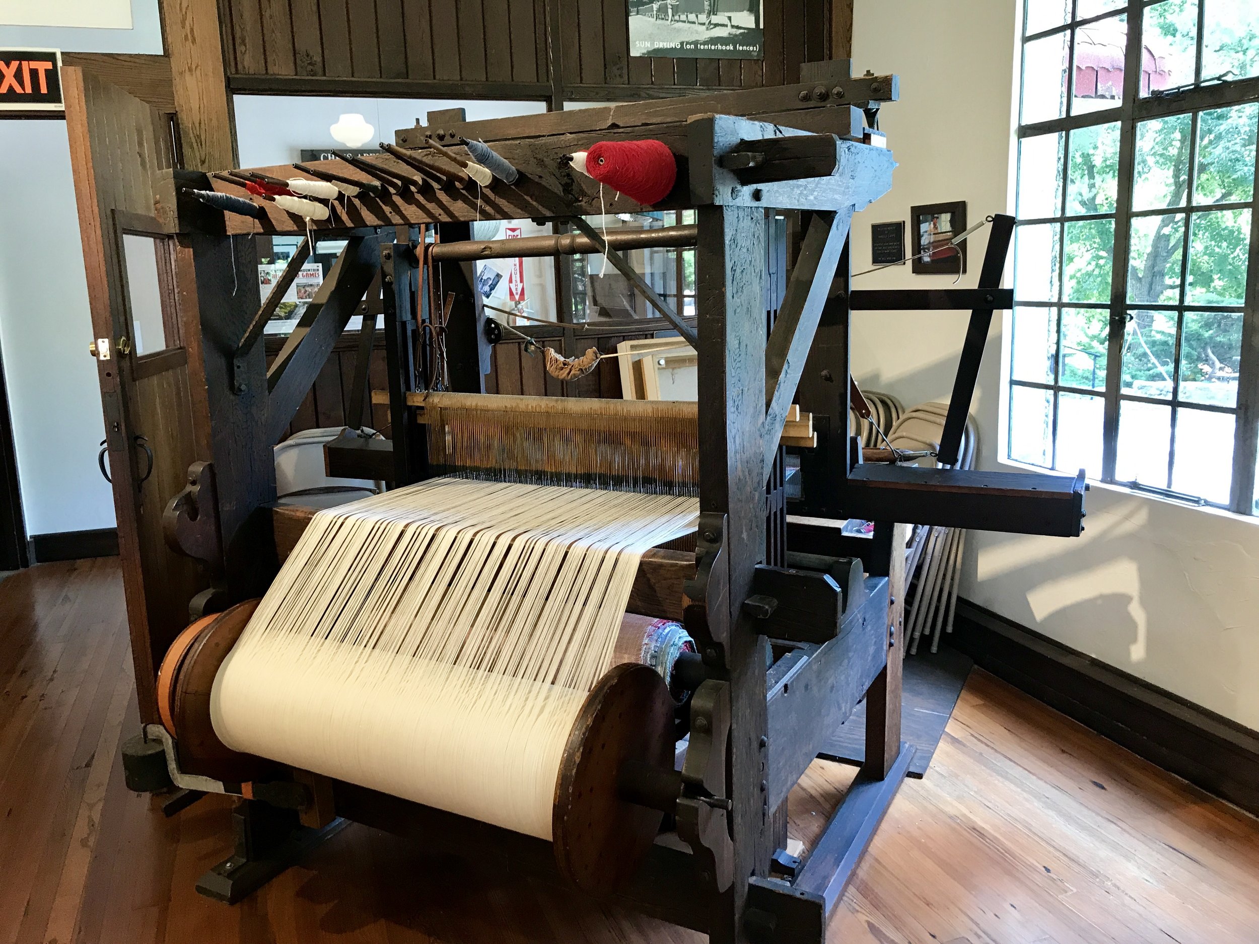
Pottery, furniture making, weaving and textiles have had a presence in Asheville for generations. Like the Biltmore Estate (built and run by the Vanderbuilts) which is also in Asheville, the GPI was a home for these industries and although their economies were replaced long ago through industrial mechanization, GPI still supports local artisans through their stores and museums. At one time the GPS housed a weaving factory.
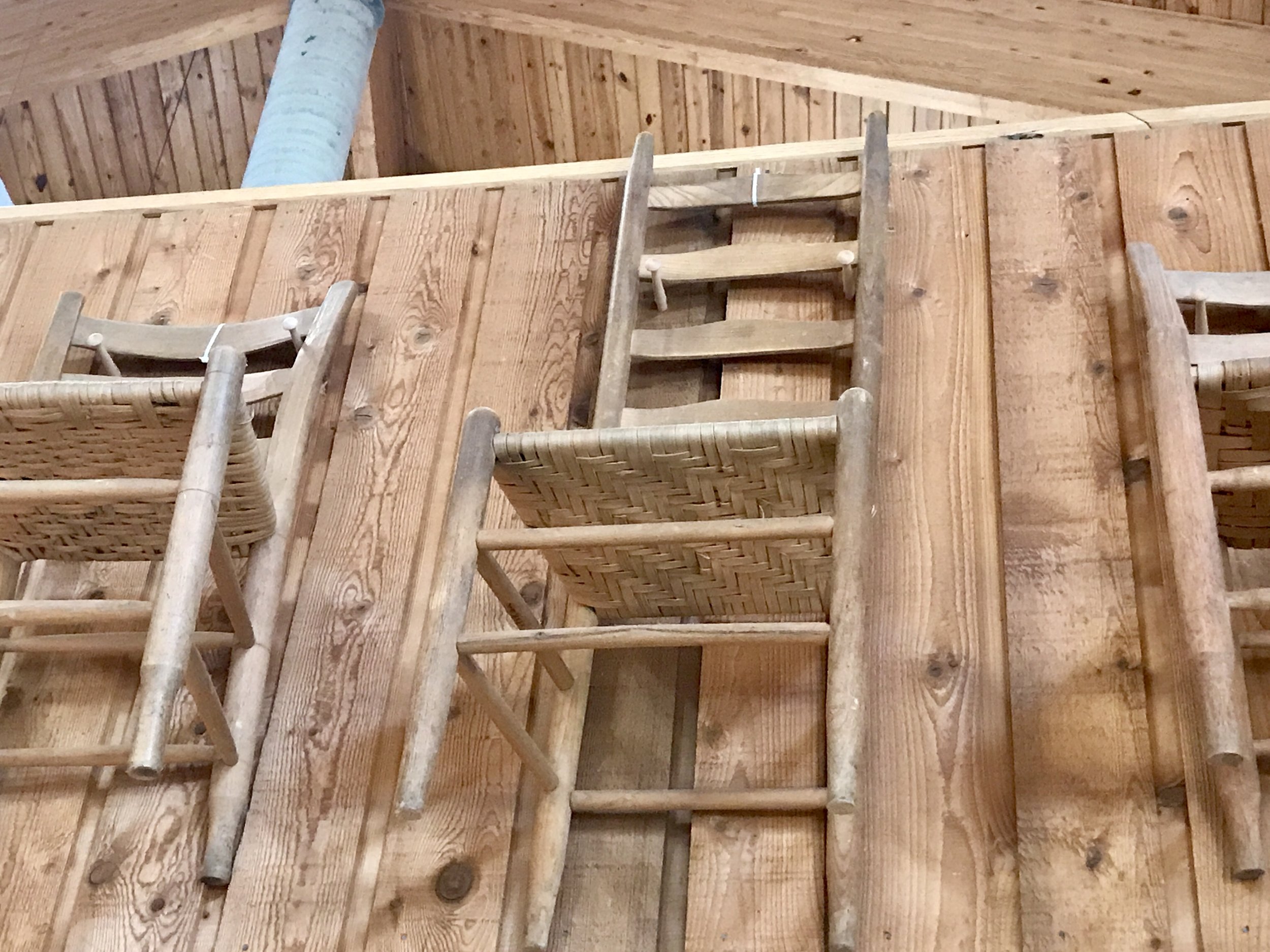
The Folk Art Museum off the Parkway just outside Asheville has a fantastic exhibit of furniture and weaving artifacts. I was enchanted by these chairs because I own some that are similar and I never knew where their design had originated.
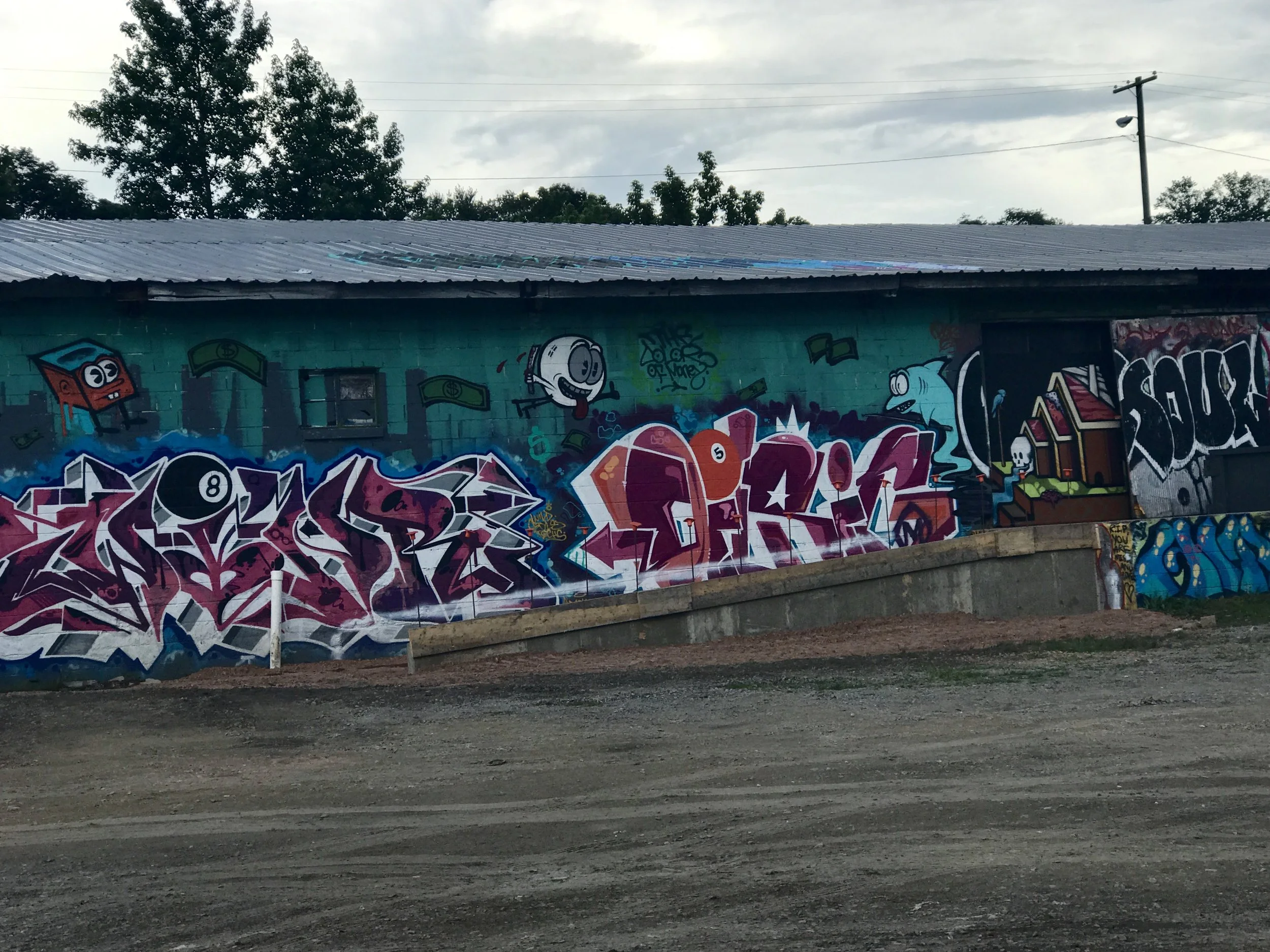
There's a section of Asheville called River Arts that is well known for the graffiti on its warehouses. Asheville has 22 craft beer breweries now and one of them (The Wedge) has two bars and a restaurant in this area in two different locations. The beer is sublime - I sampled several different kinds.
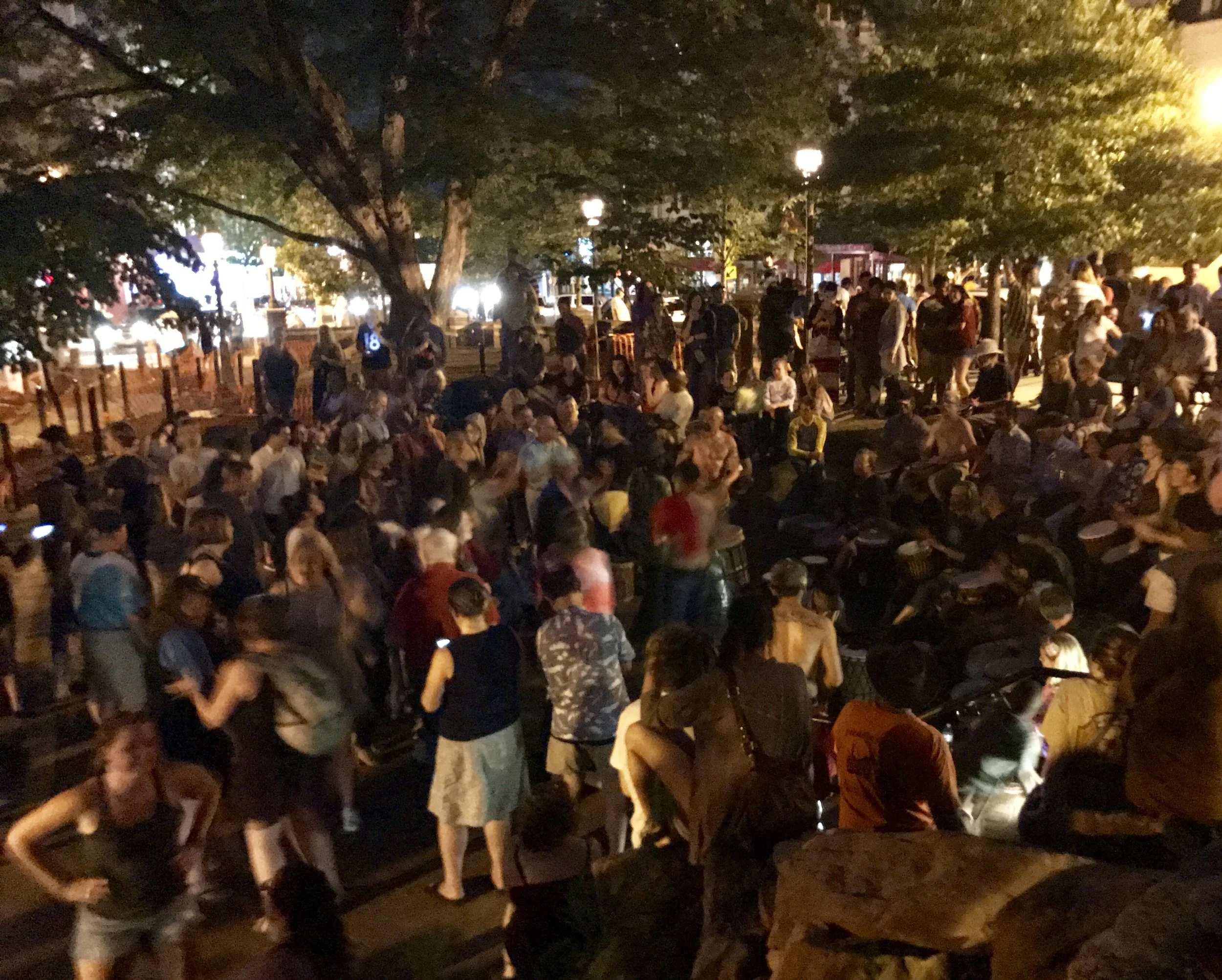
I heard Asheville compared to Boulder and the comparison is apt. In fact, one might say that Asheville is to the Appalachians what Boulder is to the Rockies. The town is small enough to be very livable, and large enough to have a lot going on. It's situated in a beautiful setting and natural beauty is abundant everywhere. But Asheville is also a bit like New Orleans, in that there is a vibrant music scene. I was lucky enough to be downtown on a Friday night and street musicians were on every corner. And in the center of town a community drumming circle was underway, apparently a regular ritual. The picture above is the drumming circle - drummers on the right, revelers to the center and left.
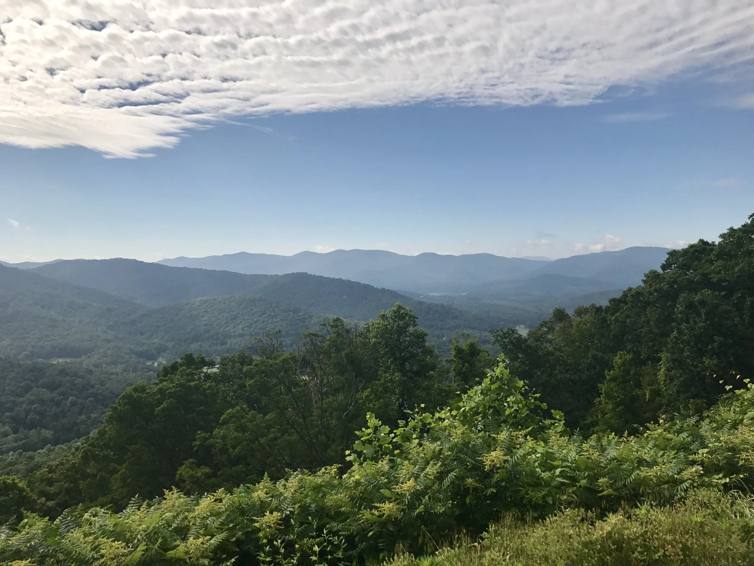
But all good things must come to an end. After two fantastic days in Asheville, I rode out of town to begin my trip up the Blue Ridge Parkway toward Washington, DC. What a delight when one must leave something wonderful for something else quite remarkable! Only 6.5 miles up a very steep hill I was rewarded by my first of countless extraordinary views on the Parkway. The ride north lasted for 50 miles before I could find more amenities than drinking water, so it was a challenging first day. But you will see the rewards were superlative. This Parkway is a gem, and so far, very rideable on a bike. The road surface is excellent, and drivers actually obey the speed limit and are reasonably courteous to cyclists. Later in the day, when I remarked to a local shopkeeper that I was impressed the drivers in the Parkway actually obeyed the speed limit, she replied, "Well that's a government road, and you don't mess with that!" As glad as I am that's true about the Parkway, it would be nice if that was true on all other government roads - which is, of course, every other road out there (except for a few private driveways).
The pictures below were all taken on the Parkway between Asheville and Little Switzerland, 50 miles to the northeast.
More to come,
Michael
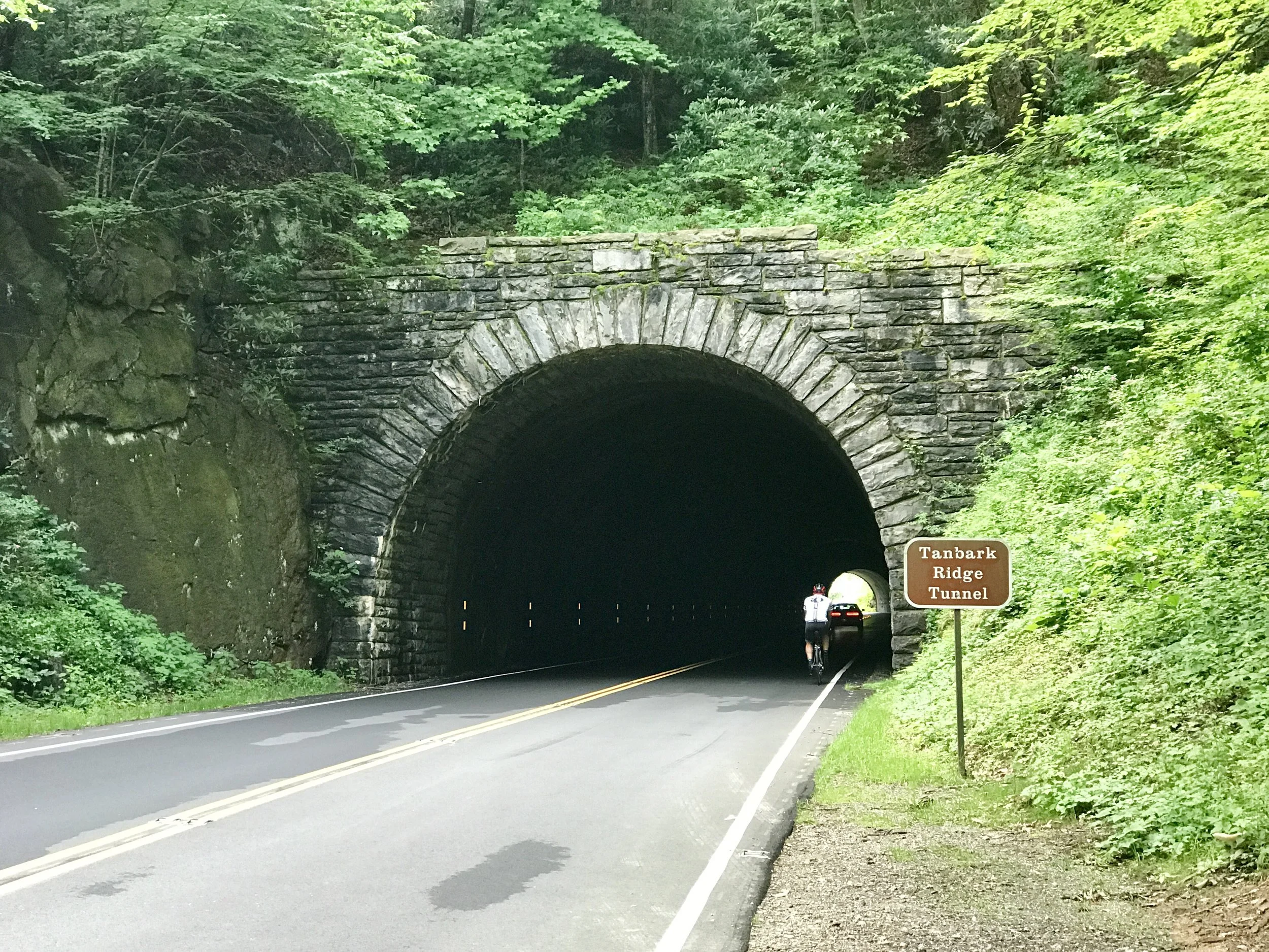
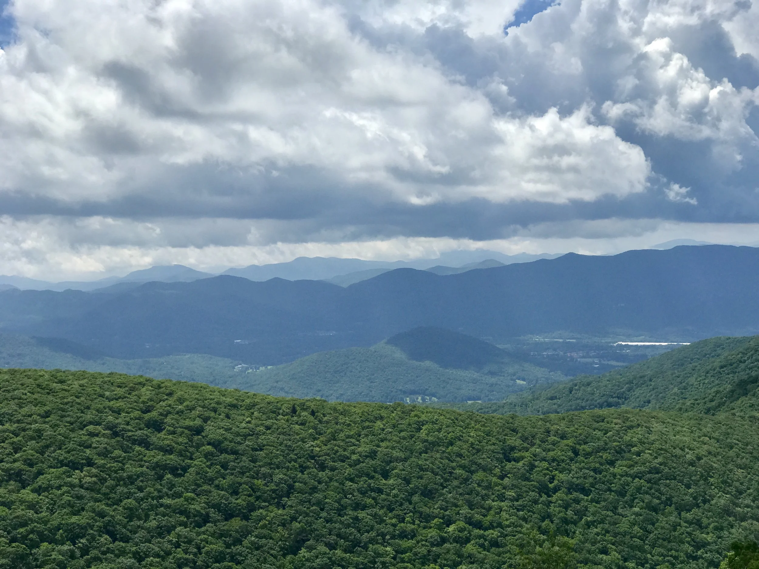
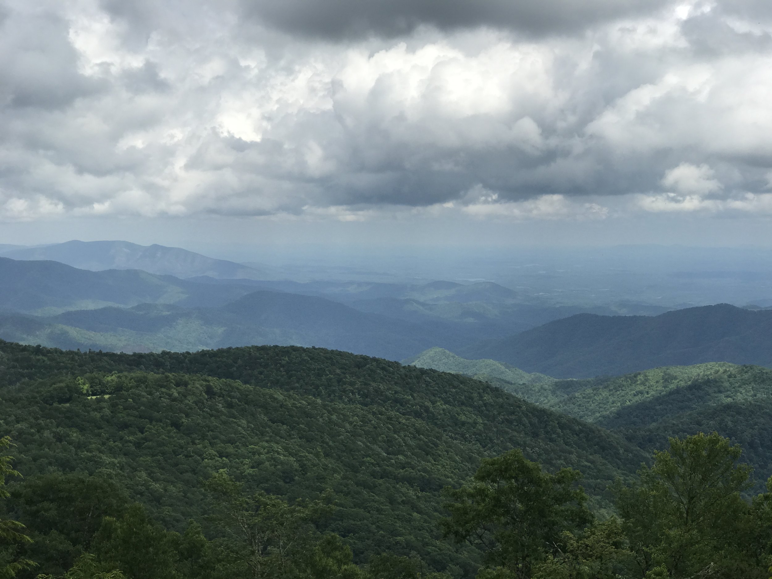
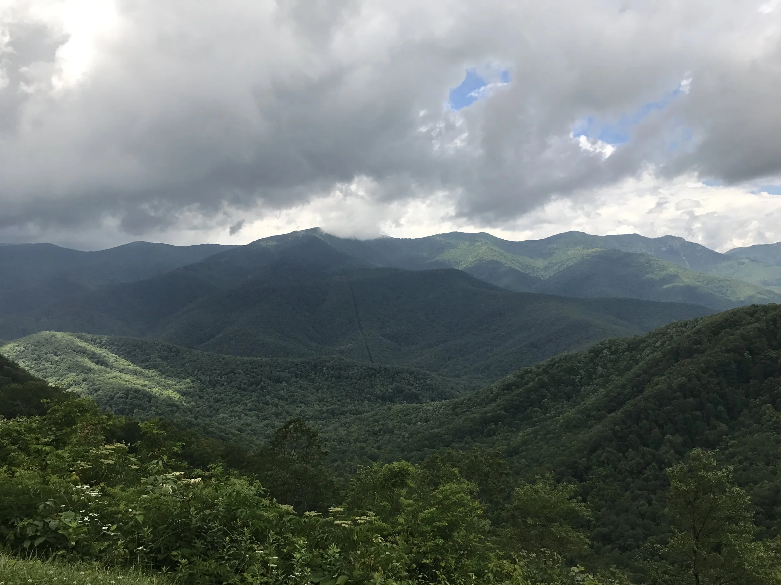
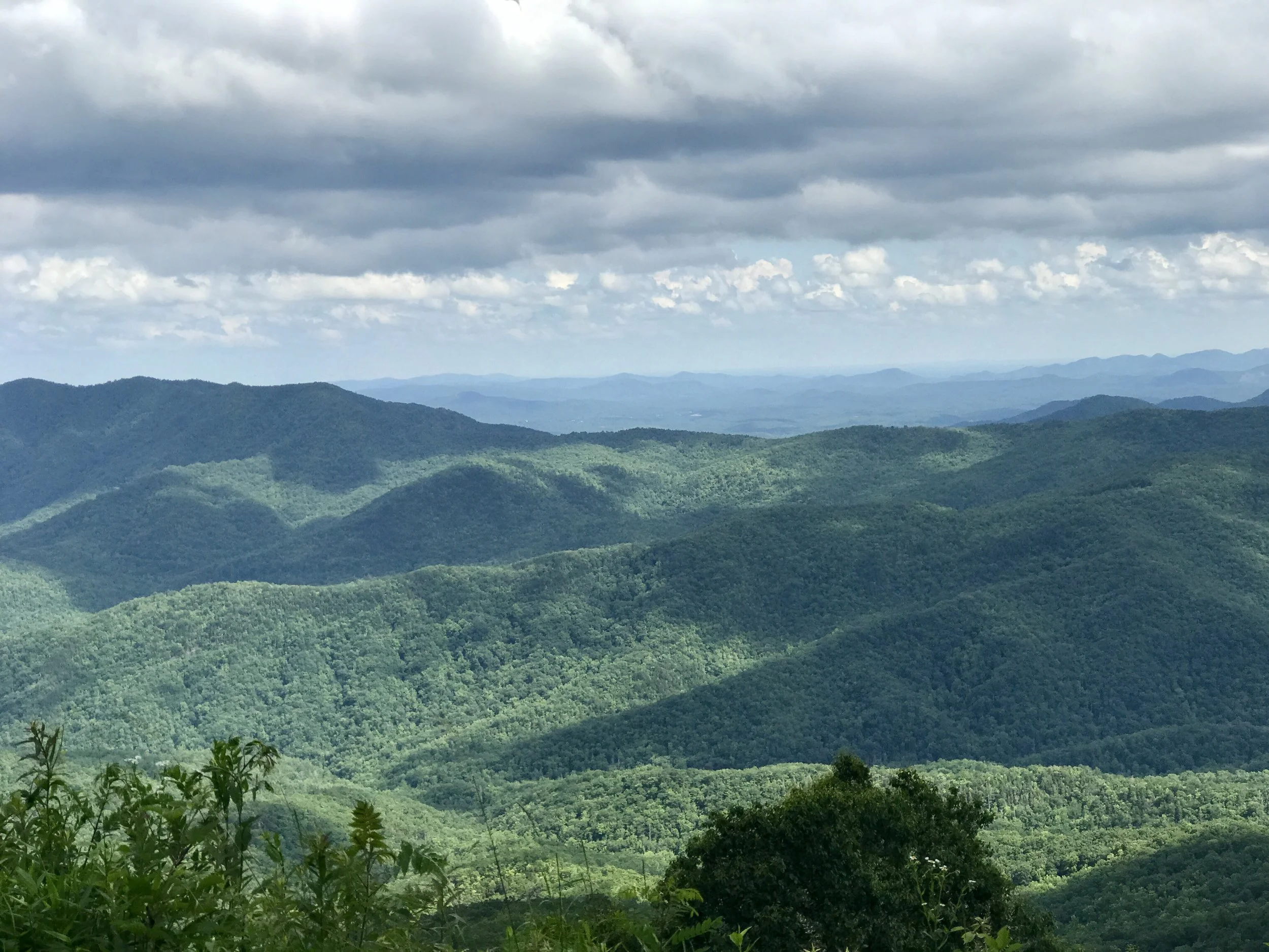
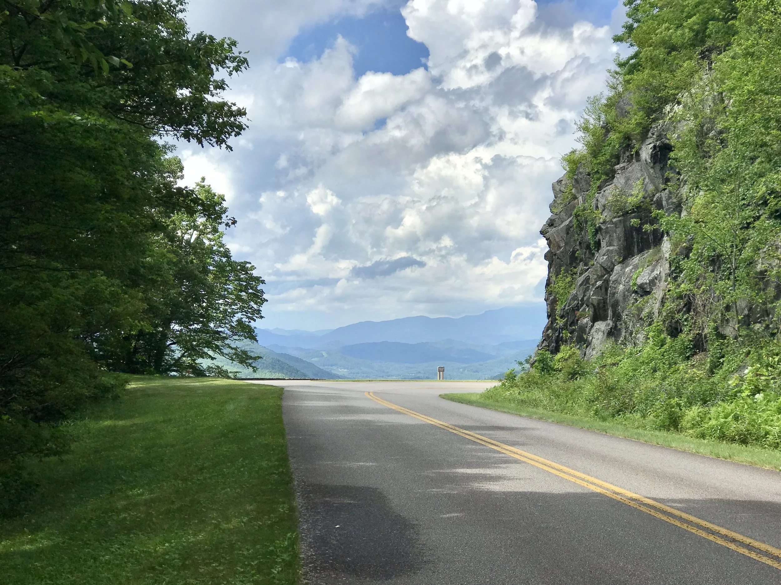
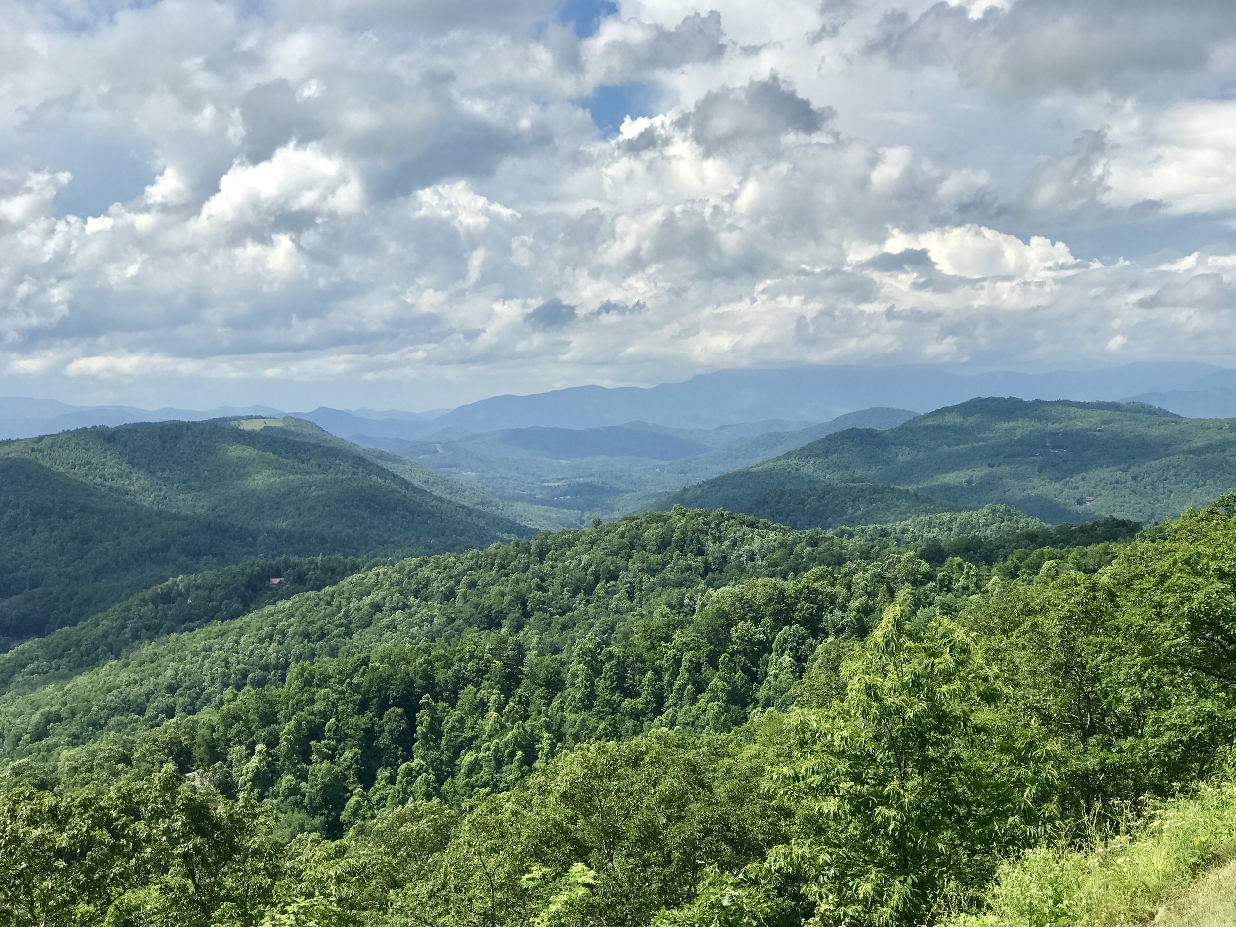
Blue Ridge, Post 3
Blue Ridge, Day 4, Post 3, Blue Ridge Cycling Tour, Revisiting Edward Hopper.
Check out my road cycling activity on Garmin Connect. https://connect.garmin.com/modern/activity/1797772745
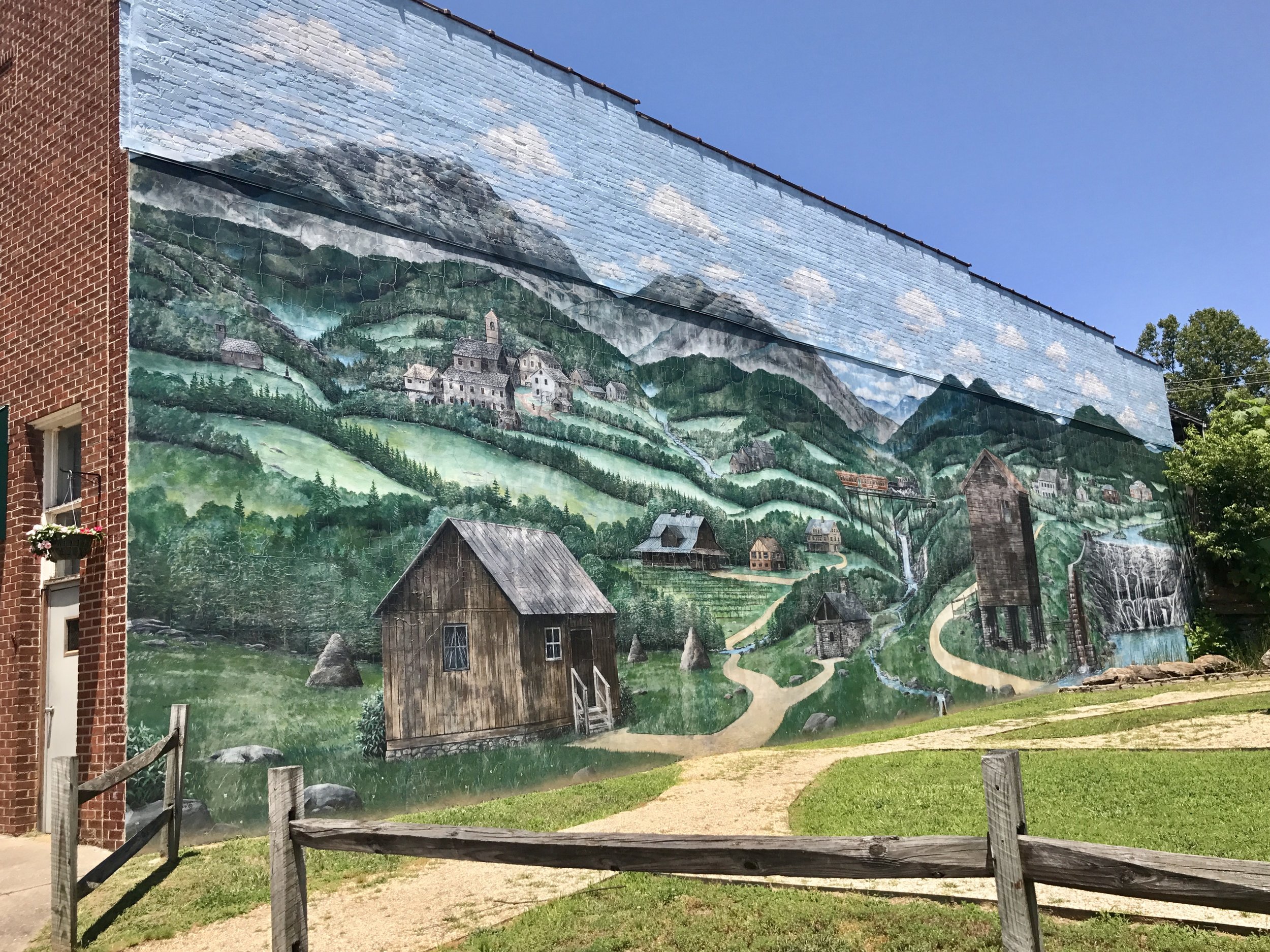
There's a small North Carolina town about 70 miles east of Asheville called Valdese. Arriving there from the east, one is greeted by this mural, suggesting that as one leaves the Piedmont for the Appalachians, one will find quaint mountain villages with endearing architecture nestled among beautiful countryside, and no small share of oddities.
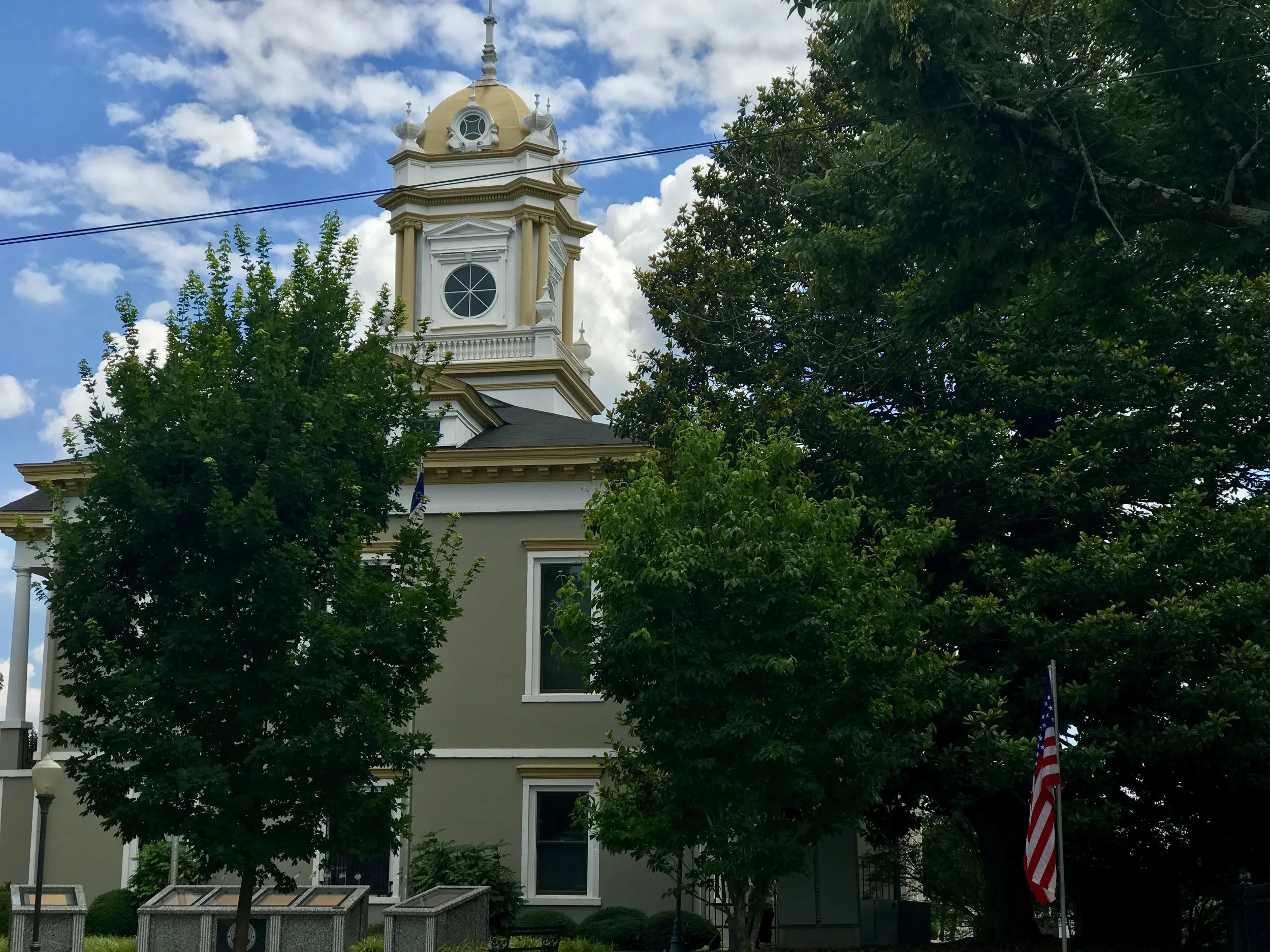
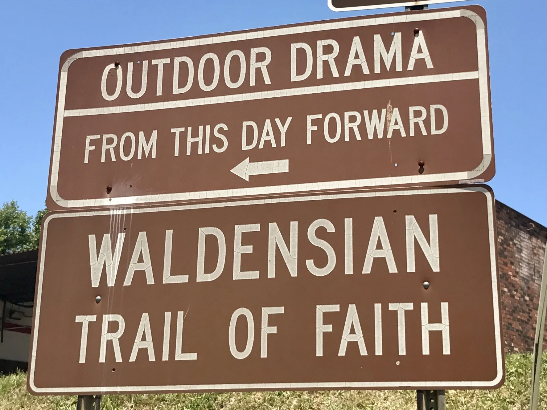
Valdese delivers that promise, as does Marion, about 25 miles to the west. The towns are charming, and signal a welcome to tourists. But like everywhere, things are not always as they seem on the surface.
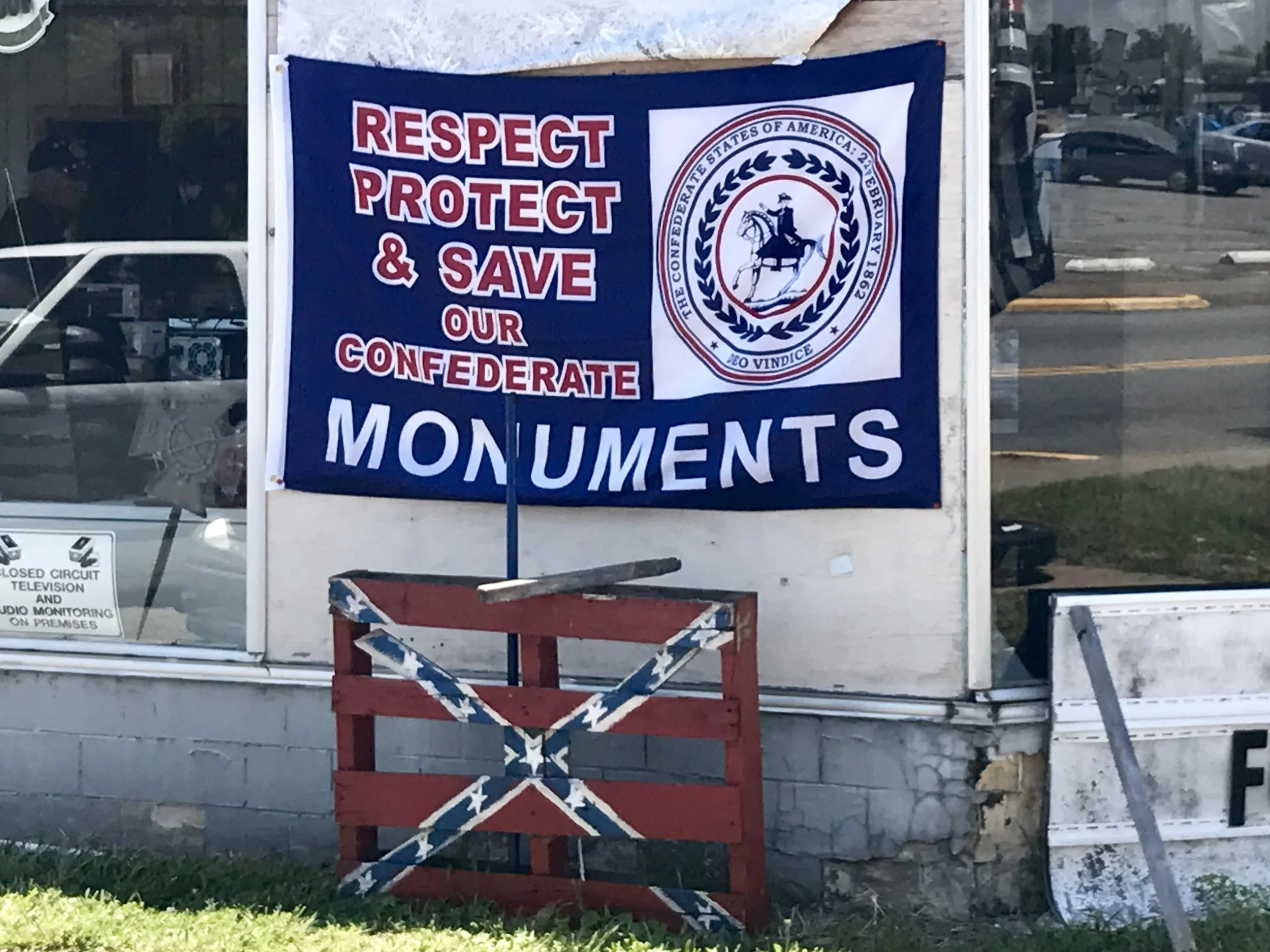
The south is full of contradictions. It is friendly and clannish at the same time, and sometimes fiercely defensive. To a Yankee, some of what some Southerners want to defend is neither appropriate nor worth the trouble.
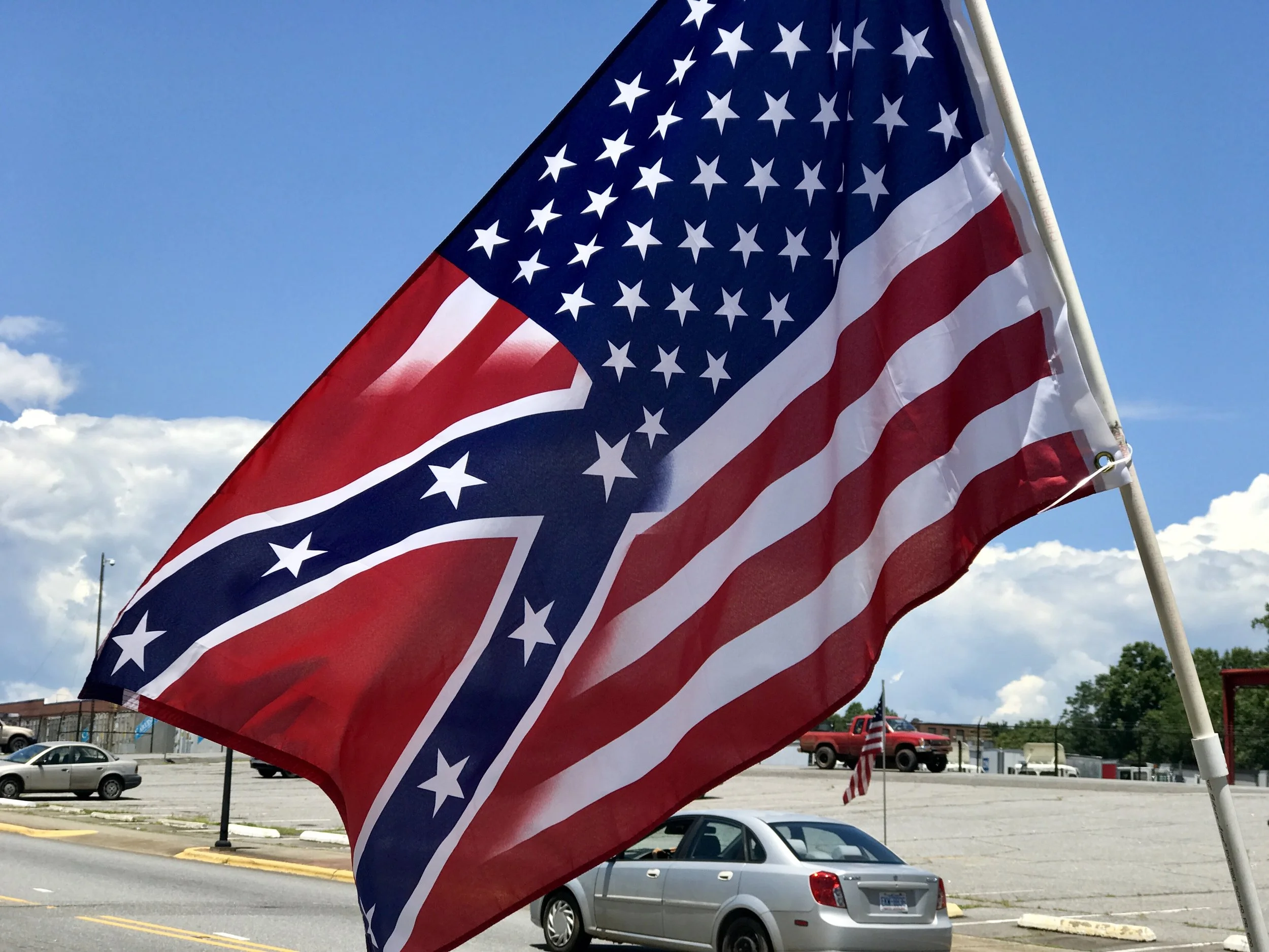
But it is there regardless. I used to think that the average thinking American saw the world much as I do, and although one might even feel nostalgia for a past that will never return, common sense and reasonable thinking will ultimately prevail over more limiting ideas and behaviors. Imagine my surprise when I realized that the beliefs I thought were aberrations aren't aberrations at all in some places. On the contrary, to people in those places it's my liberal, secular reason based, scientific view that's weird and nonsensical. Which makes me think about how beliefs are often "place based". Note to self - subject for another post....
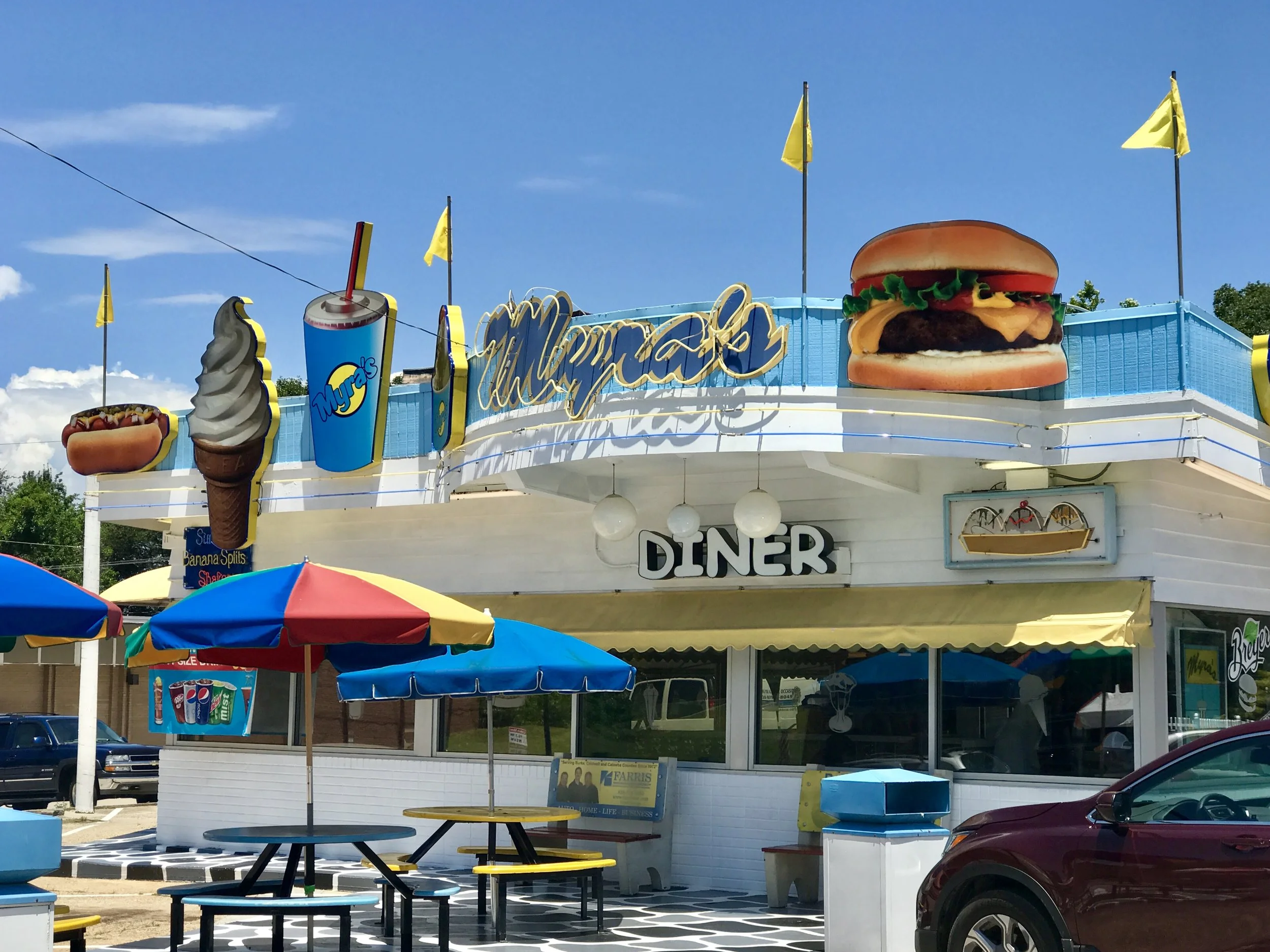
The delightful diner above (found in Valdese) made me remember a post I wrote in my Southern Tier cycling tour and I decided to republish parts of it to finish out this post. A few months ago I read "The Art of Travel" by Alain de Botton. One chapter was on the traveling addiction of Edward Hopper and his love for simple Americana eateries and motels. As I read I had an insight. I didn't need to feel ashamed of my heretofore inexplicable attraction to home-spun restaurants, middle century motels and RV Parks. It's not poor taste that leads me to appreciate this stuff so much. I am touched by nature's beauty and humankind's beautiful, funky and banal attempts to address our endless eternal struggle to make life livable, if not better. So I make no apologies. I like what I see around me, especially when I haven't seen it before. I would like to believe that underneath all the pain of the deteriorating quality of life in rural America (and its probably ineffective current scream for attention in our national political drama) is a quiet and eternal core of kindness, dignity and ingenuity. It's obvious that rural America is in decline, and will have to reinvent itself eventually in a new image. But first her inhabitants will have to realize that a "great" past won't return, that there won't be an "again" if there ever was one in the first place. For that's how life works. No matter how fertile our imaginings about the past might be, genuine reinvention is always about something new. And it rarely is comforting, especially in the beginning. But as a good Buddhist would say, "the only way out is through." And in the meantime, let's love all our all too human fragility.
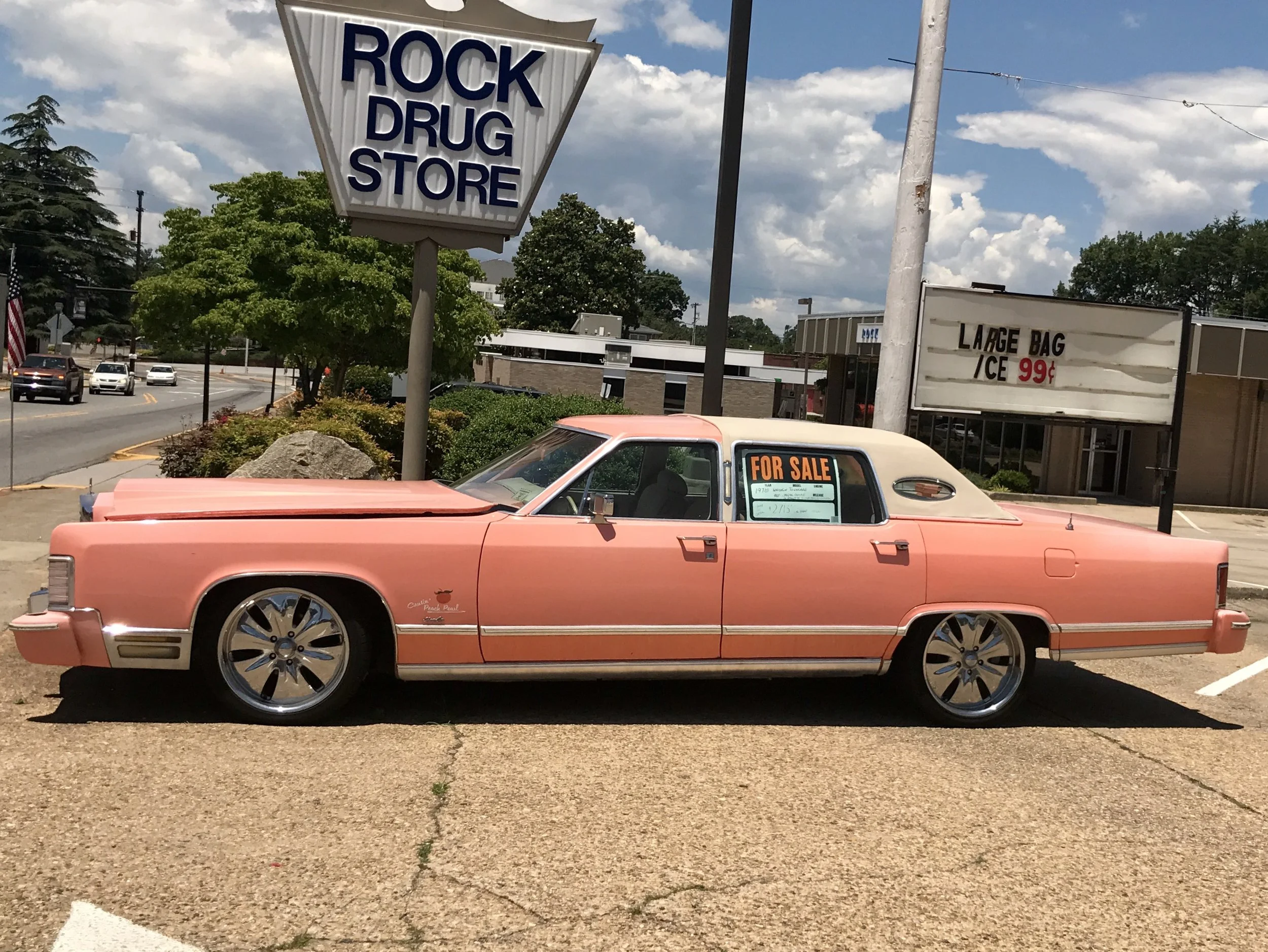
...and our diners and old cars. The era of gasoline has to end, along with America's twin adolescent ideas of manifest destiny and infinite immortality, but that doesn't mean we can't enjoy some down home nostalgia as the trade-winds of change drive us in a different direction.
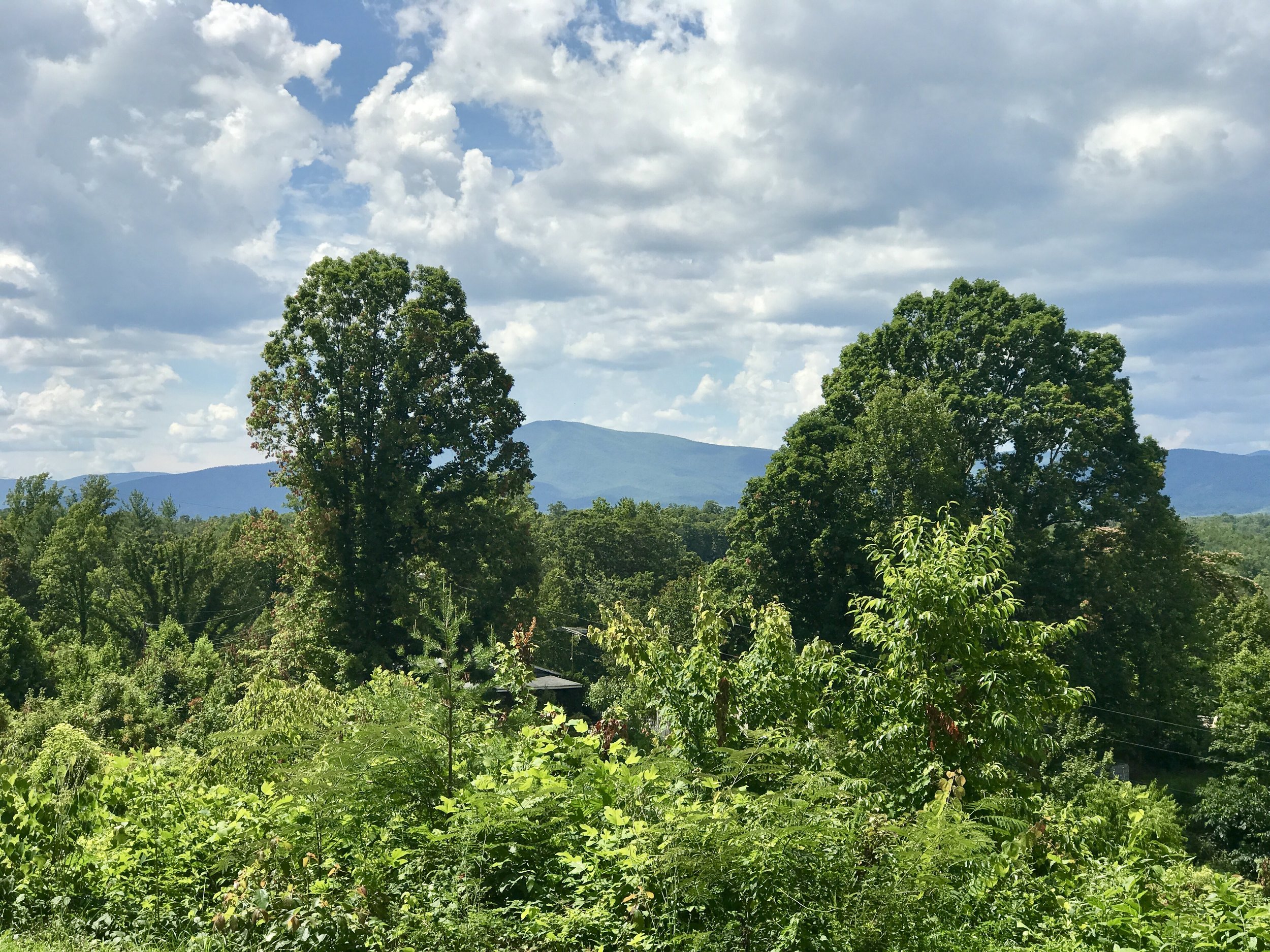
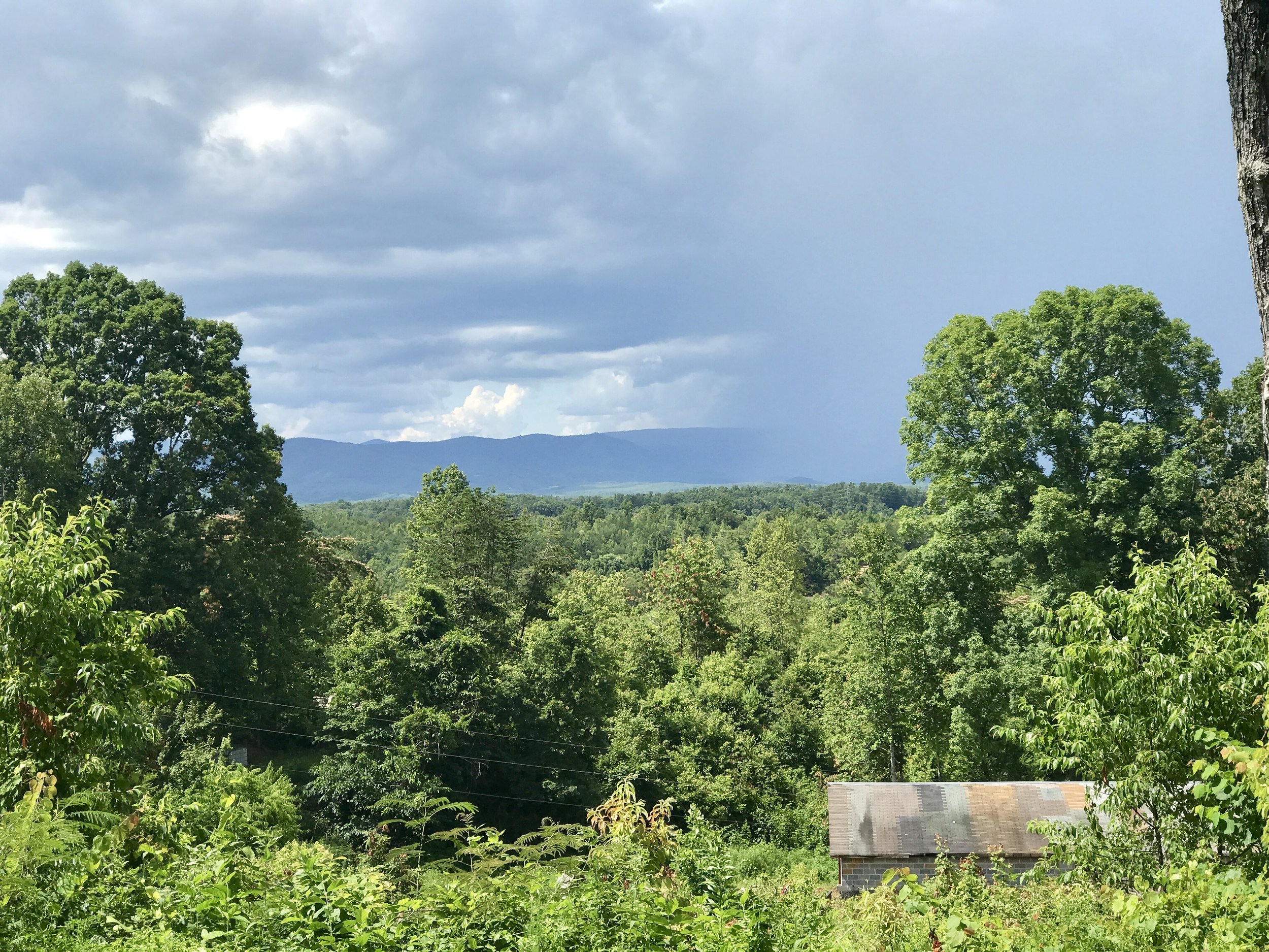
And let's remain vigilant about what we have that's still worth preserving. America is a place of incredible cities and astonishing geographic diversity, and it needs our active participation to preserve what makes it special. The Appalachians are one of America's treasures. I'm in the mountains now, and I look forward to being in them for several more weeks as I travel along the Blue Ridge Mountains to the northeast on my way to Washington, DC.
Tomorrow I will arrive in Asheville. I was there once years ago, and I've always wanted to go back. I plan on spending several days there, and it's unlikely I will write another post before I leave, so don't look for another post for a few days. But there's more to come, so stay tuned.
Michael
Blue Ridge, Post 2
Day 3, Post 2, Blue Ridge Cycling Tour
If you had trouble with the Garmin link yesterday, I think I've solved the problem. Just click on the sentence in red right here: Check out my road cycling activity on Garmin Connect.
https://connect.garmin.com/modern/activity/1795892979
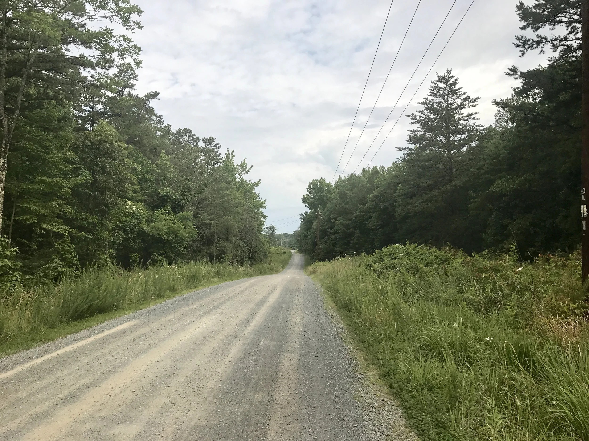
The day began well, although early on I found myself on a gravel road. I don't mind riding on them for short distances, although my touring bike is not built for long hauls on gravel. But the road was pretty and I had it to myself, so it was a treat to be on it so early in the day.
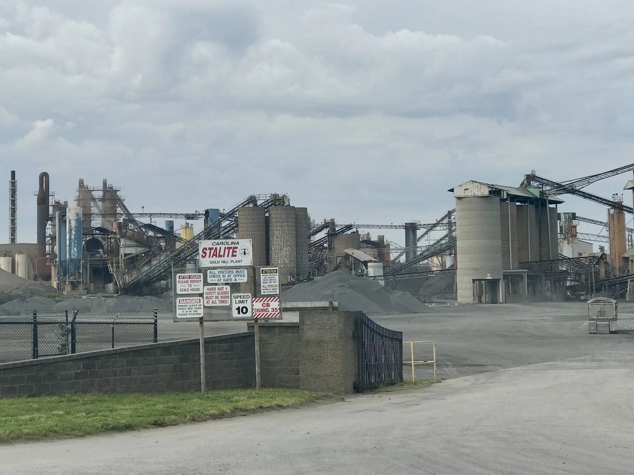
And then I realized why I was on gravel. This road inked to Carolina Stalite, the world's largest producer of lightweight aggregate. Sometimes known as crushed gravel, this stuff creates a great surface for driving and cycling. And if we would back off our misplaced idea that repairing infrastructure means building more roads (which is the last thing we need), Stalite could be used as an inexpensive and environmentally effective way to maintain roads. This stuff is inexpensive, doesn't buckle, and best of all, is permeable, so it will absorb rainwater and minimize erosion and damaging run off. Imagine my delight in finding this plant. Ironically, as I came toward it, I thought it was an out of place coal plant. But, no doubt to North Carolina's relief, they mine and manufacture little coal. In fact, NC has a reasonably healthy solar industry, which you can read about here.
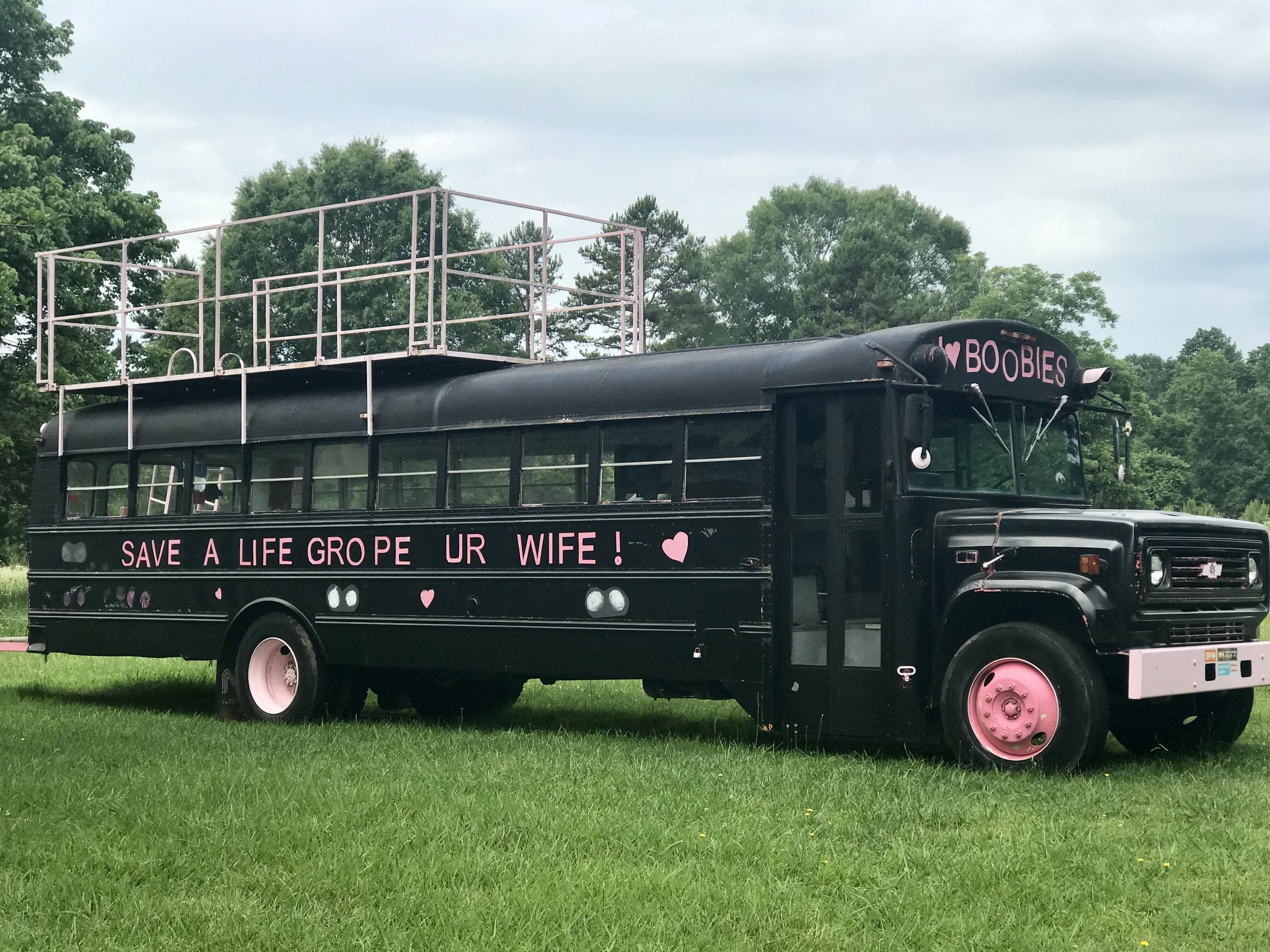
A short while later as I continued my westward journey I came across this bizarre artifact. I remain puzzled about it. Is this a pro-life endorsement? Is it good old fashioned misogyny? Is it a joke? Or art?
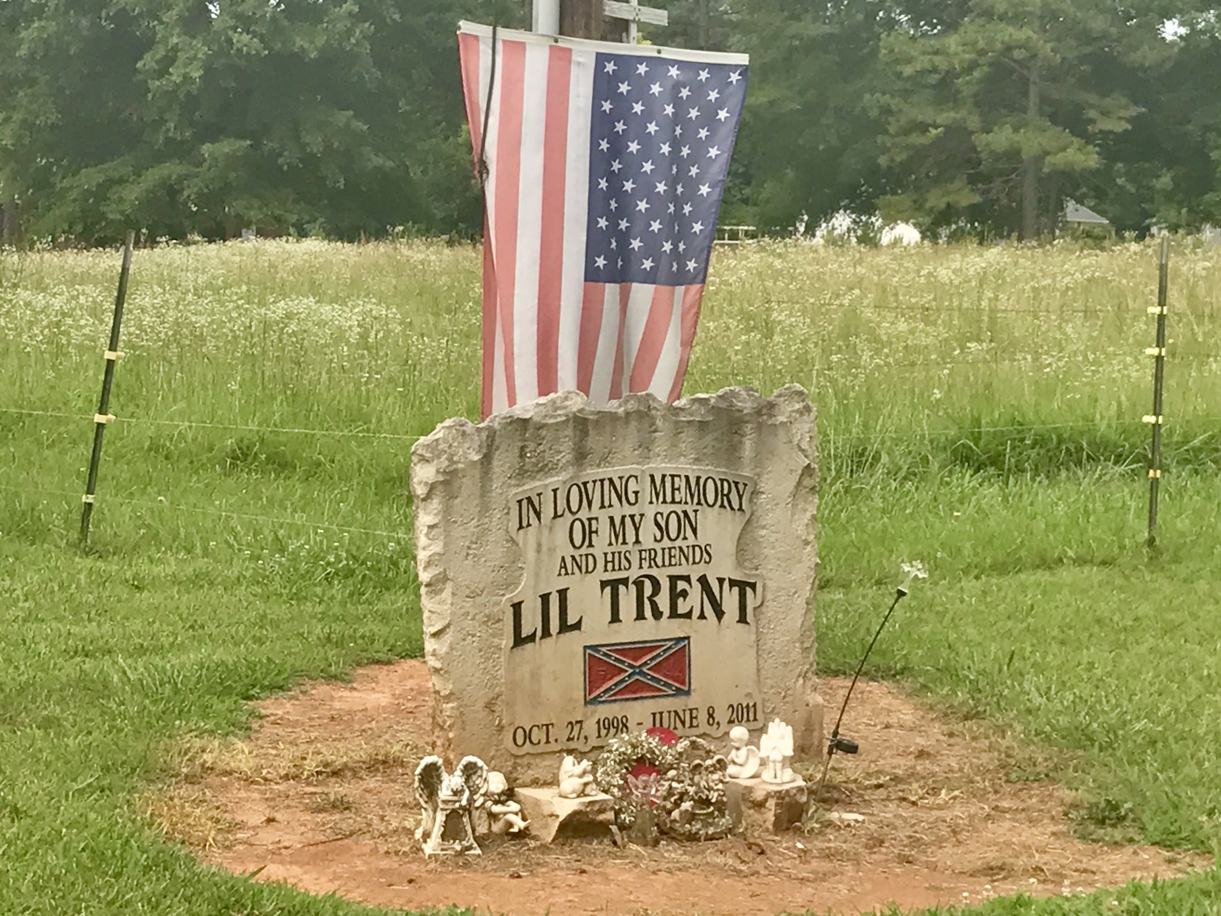
There are some clues. Next to it is one of the oddest effigies I've ever seen, and I've seen enough to think there's an opportunity for an enterprising cyclist to create a coffee table book focused solely on roadside effigies (yes, maybe I will do it). Americans are very good at creating and maintaining them, and I've seen some beautiful and touching ones. But this one? Lil Trent died in 2011. Does he really need to be identified by a Confederate flag?
I saw dozens of these signs again today as I rode west. They are in heavy use for at least 100 miles. As commercially produced signs, each one is the same, and if you look closely you will see that in the lower right hand corner there is a website: thankyoujesus.org. If you google it, you will find ...a holding page for a nonexistent website. Yet, someone's making a lot of money selling these signs. The commodification of everything has now extended itself to religion. Jesus as a brand?
As I was writing my post yesterday, I created an entire thread about applying observational skills to roadkill, and then edited it out. But today when I saw this junkyard, I had the thought that dead cars are a form of roadkill in their own right. The death of our instruments of migration - which is ironic, given that animal roadkill is the result of our killing their migration.
I had about 22 miles left for the day at about 4:30 when storm clouds appeared rather suddenly. The clouds became an intense rainstorm, and when I finally got to a motel (with the help of a local who kindly drove me for the last ten miles because the rain was too intense to bike in safely), I discovered that several tornados had touched down nearby. I have a question for anyone who might know the answer - have you ever heard of someone being hit by lightning while riding a bike? I'm thinking not because of the rubber tires, but I would appreciate hearing otherwise if that's the case...
More to come,
Michael
Blue Ridge, Post 1
Blue Ridge Mountains Cycling Tour, 2017
On June 1, 2017, the President of the United States chose to leave the Paris Climate Accord, a non-binding agreement, signed in December of 2015 by 175 countries around the globe as a pact to self-regulate carbon emissions levels. Leaving the Accord will either de-incentivize other countries to address climate change or create an unprecedented opportunity for them to step up as moral and economic leaders to build a global clean energy economy. Either way, the US stands to gain nothing through this action. So who will be the real winners and losers by the US leaving the Accord? Most likely the citizens of China and Western Europe will be winners, as their citizens gear up their economies to meet energy needs and gradually draw down on carbon emissions. At the same time, America will lose long term by investing more heavily in carbon-based industries with limited lifespans. Fortunately, most economists think that solar, wind and other applications of clean energy are already well enough established in the US to remain resilient regardless. Among the many facts Trump didn't share: at the end of 2016, the US coal industry employed 50,000 miners and the US solar industry employed 260,000 workers.
Nobody doubts that many citizens of Appalachia are in pain. Jobs are increasingly scarce and extraction industries (particularly coal) have been in decline for years. Investments in renewable energy in coal states are spotty. Communities are deeply divided over the environmental risks of fracking. Countless family farms have been lost to agribusiness over the past decades. Tourism is spotty and fails to provide year-round employment.
Yet, the countryside is beautiful, and Appalachian culture remains rich. I have decided to explore the beauty, politics, and climate of this fascinating and beleaguered region. I will board a train in NYC with my bike and gear on June 10, and arrive in Raleigh, NC in the evening of the same day. The next day I will begin cycling several hundred miles west toward Asheville and beyond to the Great Smoky Mountains National Park. After exploring the area, I will follow the Blue Ridge Mountains (and possibly the Blue Ridge Parkway) northeast about five hundred miles to Washington, DC, where after visiting family, I will board a train back to NYC.
I expect this trip to take approximately three weeks, and I invite you to follow this trip as I blog about it along the way. Those blogs can be read below after June 10, 2017.
Thank you for following my Blue Ridge Cycling Tour!
———————-
Blue Ridge, Days 1-2, Post 1, Meditation and a State of paradox: From time to time I get asked if I get bored cycling long distances. I don't. I've often wondered why this is so, and found myself thinking about the topic yesterday as I started this trip and cycled out of Raleigh. I think there are several reasons. One is that by cycling I am teaching myself to more deeply observe what is in my immediate environment. This takes focus. It's a skill to be a good observer, and it doesn't come without practice. Another reason is meditation. I find long distance cycling very meditative. I am with my own mind for long stretches at a time, and although I rarely transcend my mind enough to sit in that part of me that watches it as an adept meditator might, I am still very aware of the flow of thoughts coming and going. Some are quite uncomfortable, and others quite joyous, and I try to observe them. Sometimes I realize something through the flow and a decision gets made, or an insight occurs. Finally, at the end of a day of cycling, I usually feel a remarkable sense of peace. No doubt it's the increase in endorphin activity, but maybe it's also the result of things seen and thought.
Day 1: Check out my road cycling activity on Garmin Connect.
https://connect.garmin.com/modern/activity/1792209543
I left Raleigh in the morning after having taken Amtrak from NYC the day before. It took into the afternoon to get out of the research triangle area of Raleigh, Durham and Chapel Hill. It's a pretty area, but predictably, traffic is intense. I found it challenging to navigate and was pleased when I was finally past most of it by early afternoon. After leaving Chapel Hill (I did ride through the beautiful campus of UNC), I got on the old Greensboro Road. And I was where I wanted to be. I followed this road for a good 25 miles before arriving at my campground for the night in Cane Creek near the town of Snow Camp. The campground is attractive and the weather had cooled off and was sublime. I slept with the fly off my tent under the stars. And it was a good thing, too, for I hadn't slept very well the previous two nights.
The moon in Raleigh as I got off the train.
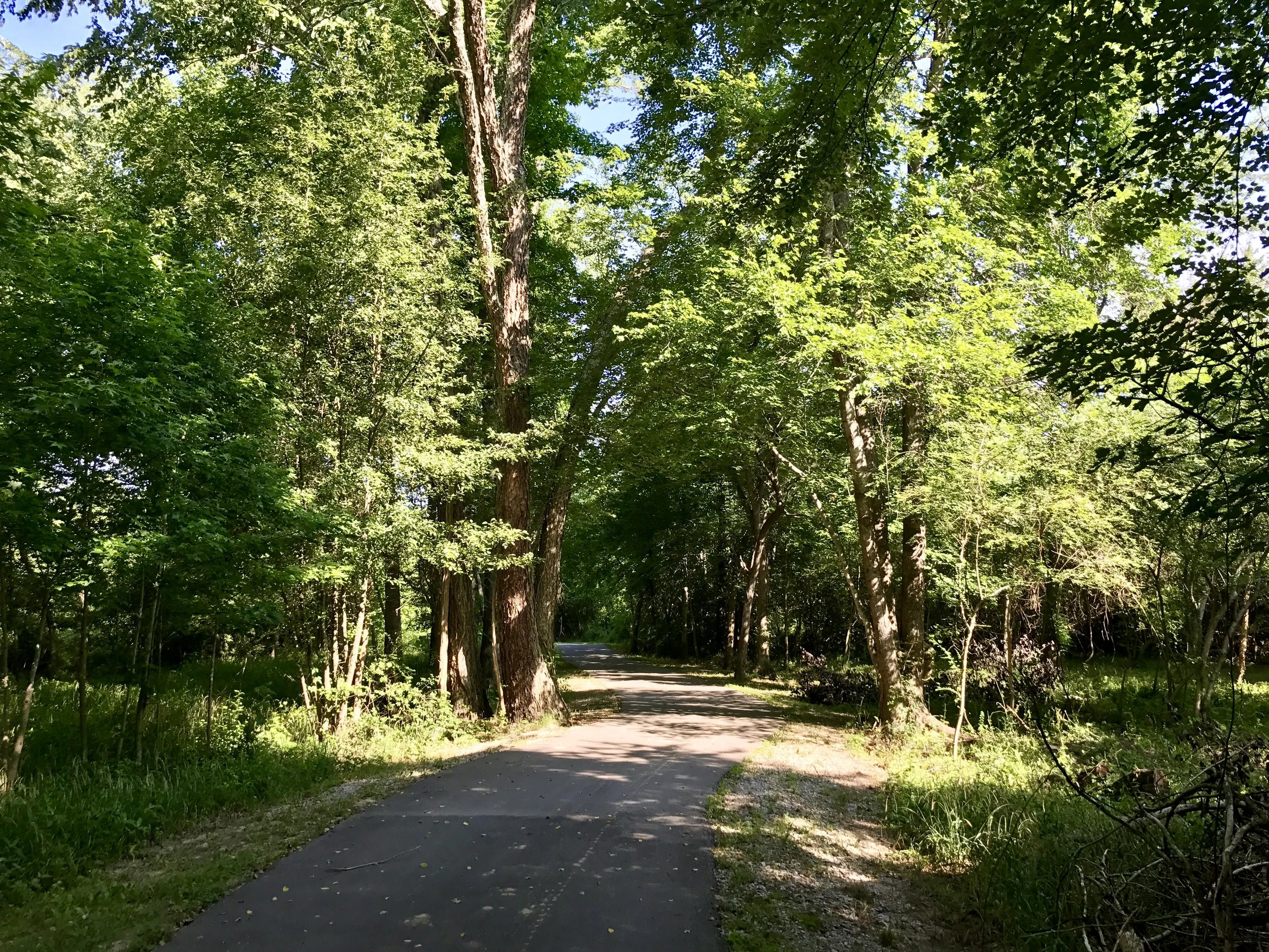
A bike trail in Raleigh. Although not long enough, it sure helped me get out of town.
I saw this on a signpost for the American Tobacco Bike Trail.
And this right underneath, which is my first reference to the State of paradox, North Carolina.
Interesting name for a tire resale shop.
In about 10 miles I saw 17 of these. All from a church, or a local sign shop?
My campground on the first night out.
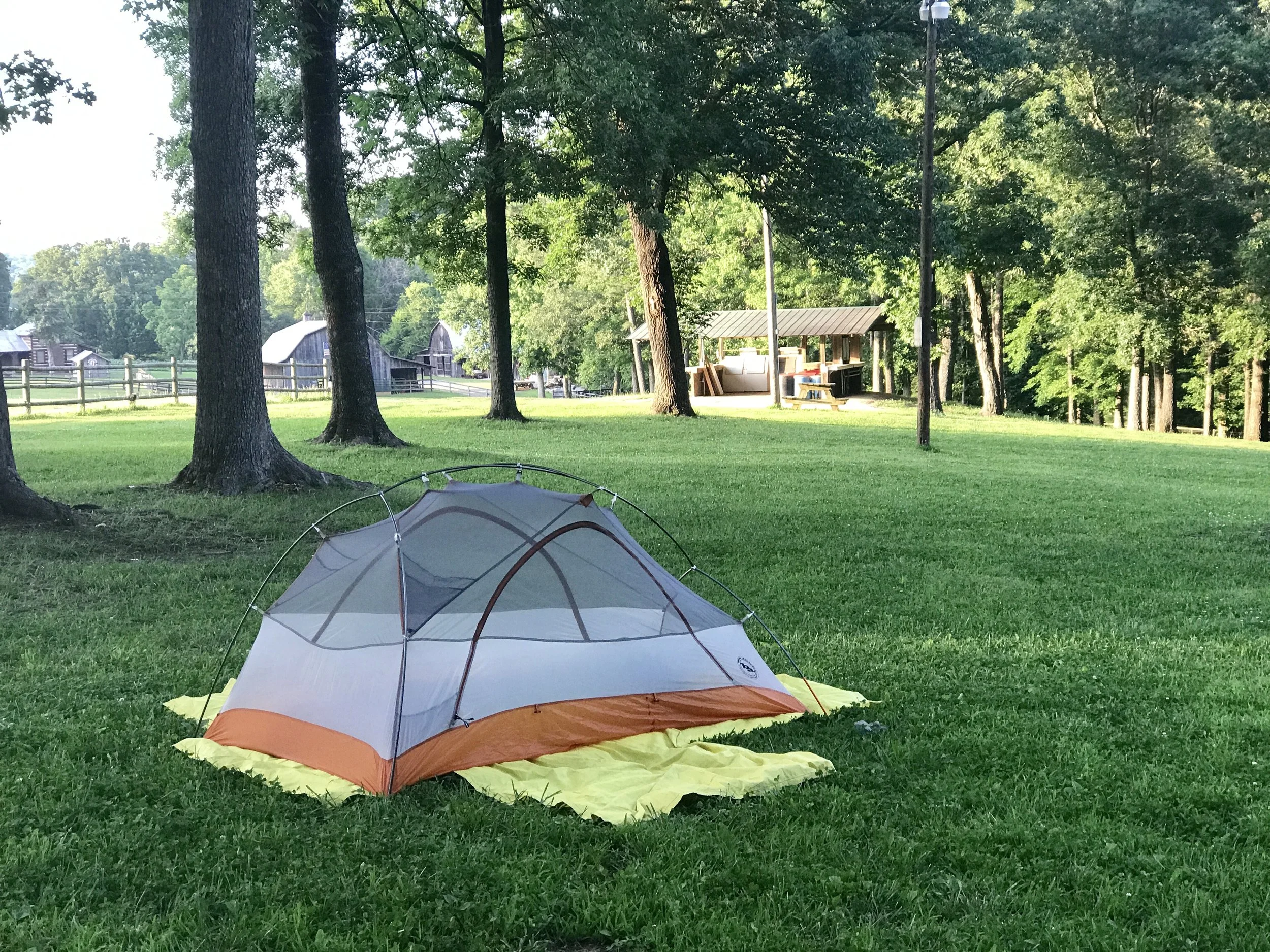
My tent on the first night out.
Day 2: Check out my road cycling activity on Garmin Connect.
https://connect.garmin.com/modern/activity/1793969186
Today I followed more roads with little traffic. Because traffic is sparse in the hill country in central North Carolina, the cycling is very pleasant. It's hilly, pretty and although there is ample evidence of homes tucked away everywhere, there is no glaring poverty (and thankfully, no McMansions). But things always look good in the sunshine. There were no billboards whatsoever, few traffic signs or lights, and hardly any amenities, although every 20 miles or so there was a corner store with a few groceries. But it was hard to find a restaurant. Even so, the biggest surprises of the day were cultural. I stopped for something to drink at a local cornerstore run by a Pakistani man (I think) with a terrific handlebar mustache talking excitedly on the phone in Farsi (I think). Although there were few customers there, they were all African -American. I didn't think about this much, until I had biked a few miles down the road where I saw this:
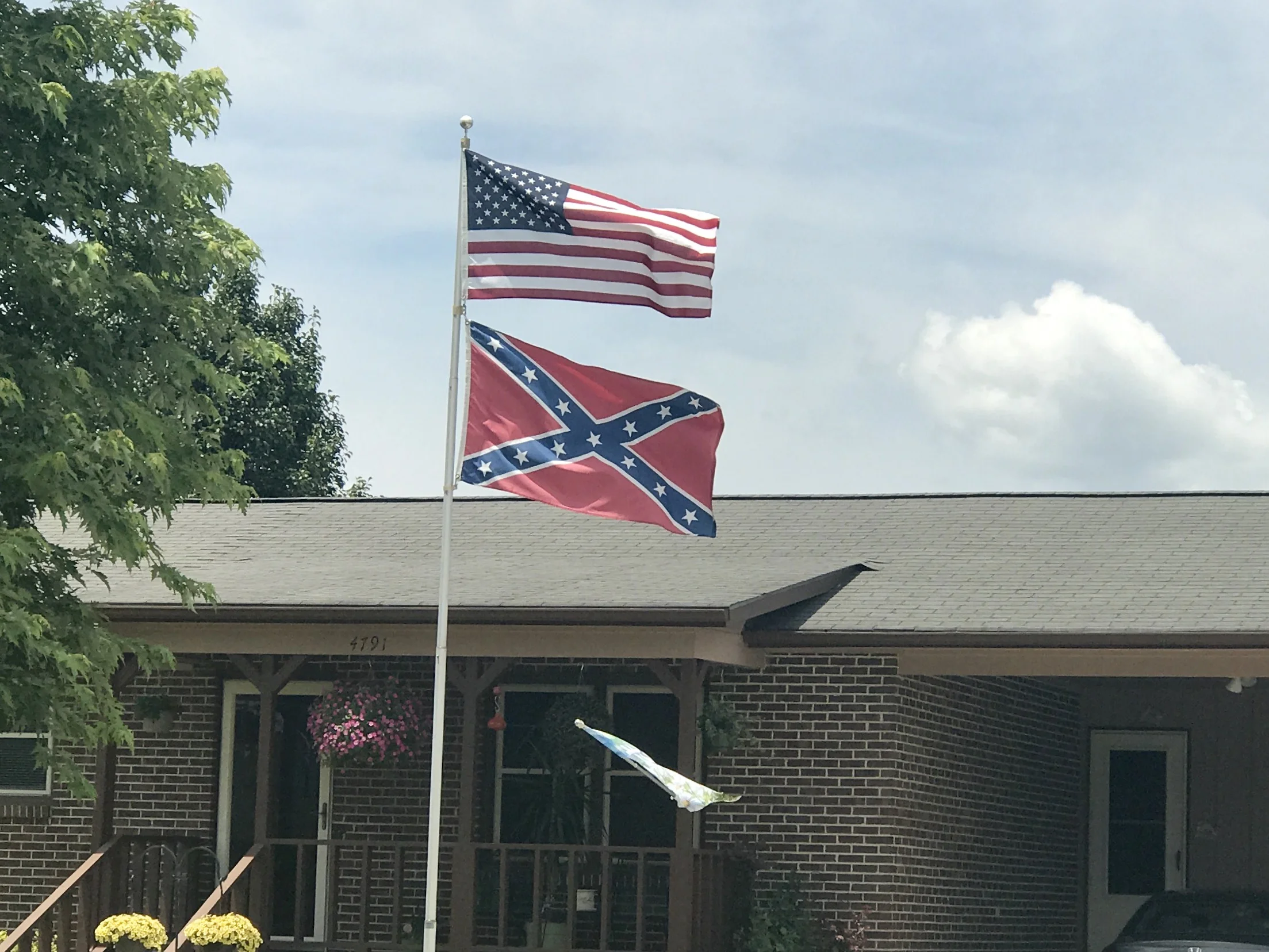
And then, not too far away I saw this:
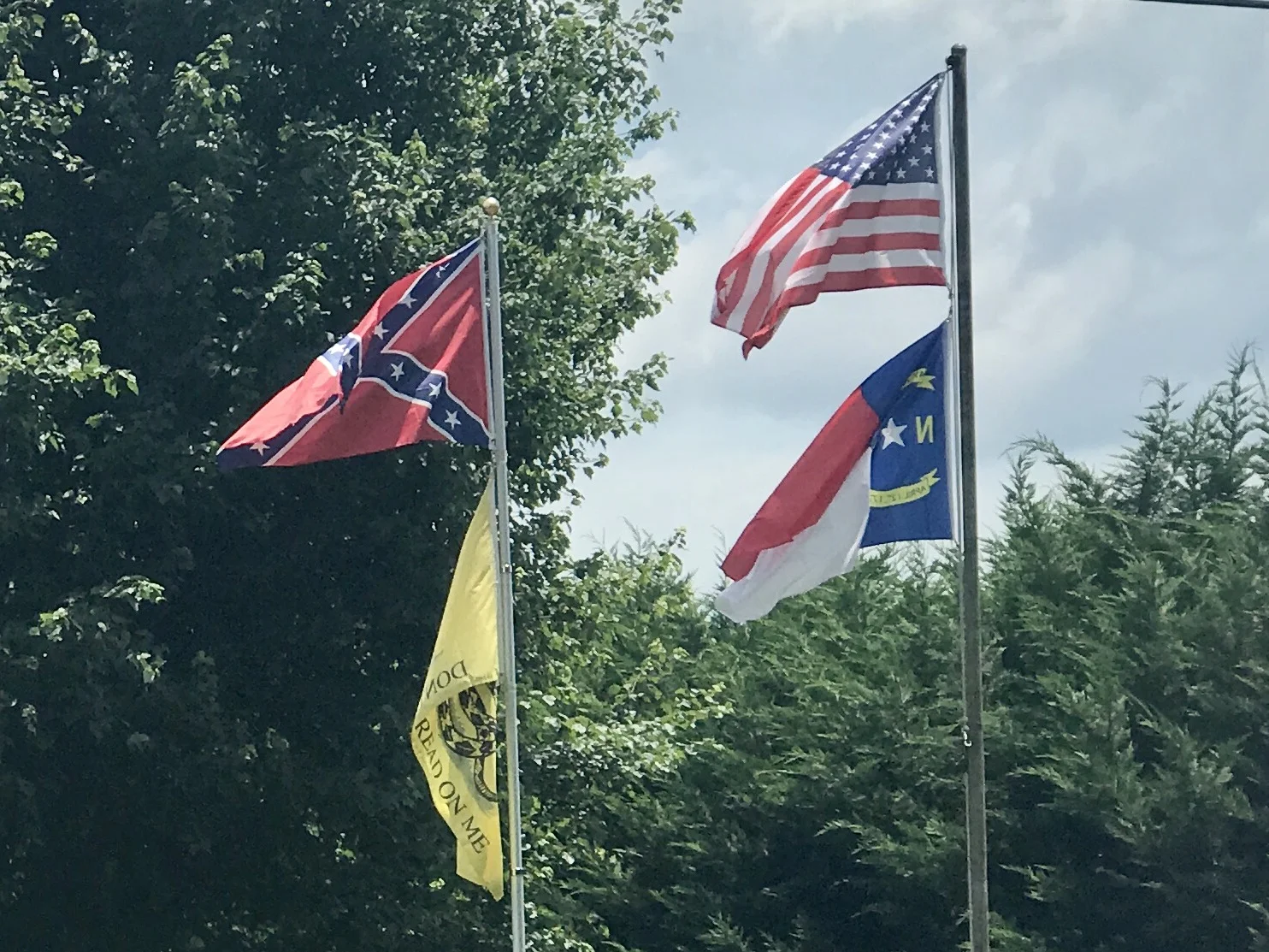
To me, this is another version of the State of paradox. I am always astonished that someone in 2017 will brazenly and publicly display a flag that is associated with the intent to enslave a race of humans for the economic gain of another race. It's even more offensive and deeply disturbing to see it displayed alongside an American flag. Yet, thinking about the area I passed through, how can it be that South Asians (perhaps Muslims), African Americans and white southerners who still fly the Confederate flag can all live so close to each other? How does that work?
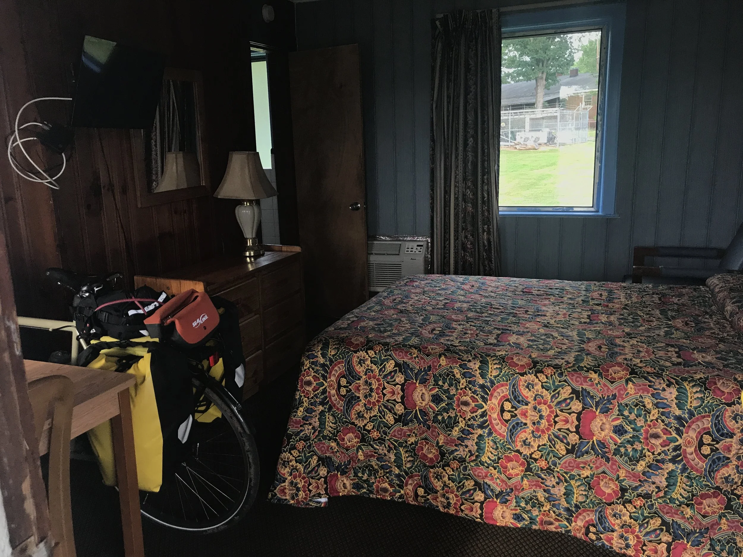
I finally arrived at a humble and comfortable motel in Richfield. Asheville is about 160 miles to the west. Although I'm making it up as I go along, tomorrow I may stop in Lincolnton. If I do, it'll be interesting to find out the origin of that name.
More to come,
Michael
I See Change
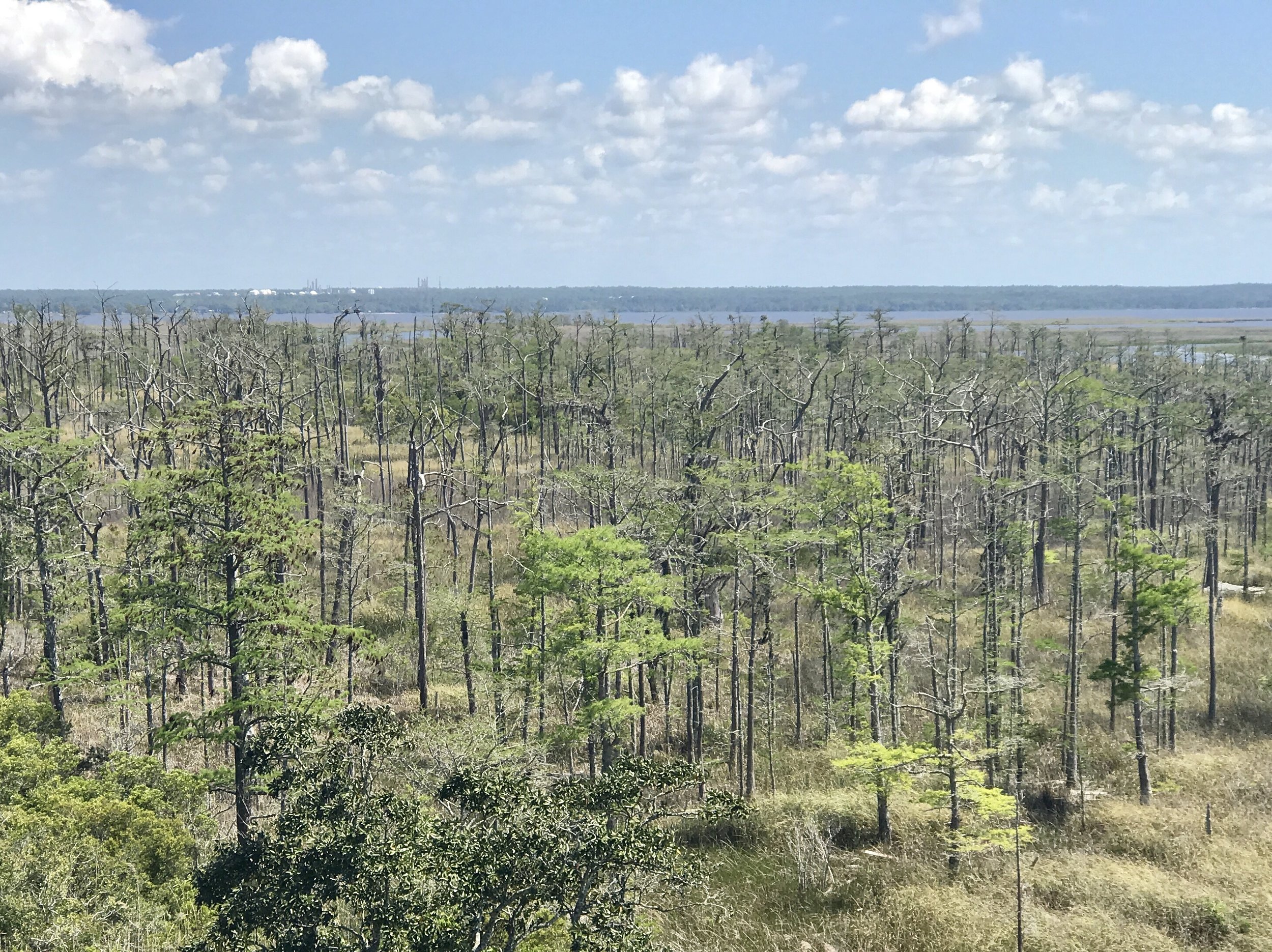
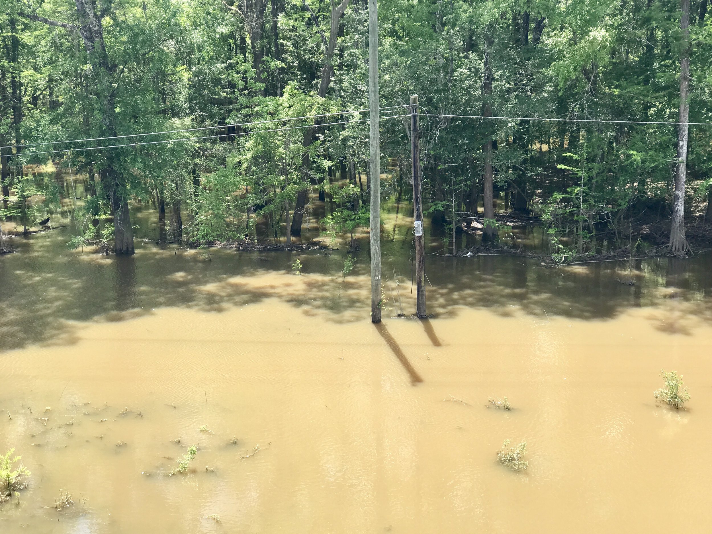
ISeeChange
This website (carbonstories.org) is devoted to reflections on politics, culture and our changing climate, as experienced primarily from the seat of a bicycle. Cycling provides a great vantage point for observation, and shares an affinity with many other physical activities that rely soley on human power and do not require the use of motors. Because most forms of non-carbonized locomotion are quiet and reasonably slow-paced they are all excellent platforms from which to observe natural phenomenon. Unfortunately, in our hyper developed world, most of us spend the better parts of our days in conditioned spaces of some sort - traveling in a car, taking public transit, or working and living in our offices and homes. Some of us are lucky enough to be outside intentionally on occasion. Others of us are outside every day because of our occupations - construction workers, landscape staff, farmers, ranchers, fishermen, utility repair workers, and so on. But how many of us pay deep attention to what is really happening around us in our natural environment? Most of us understand intellectually that climate change is well underway. But what are we noticing that tells us this is so? Can we articulate the changes occurring around us? Probably most of us cannot - it's a big step to go from what we are experiencing to having enough information to create meaning. We notice it's hot, but do we know how many days it's been hot, and whether or not that is unusual for this time of year? We notice it's been raining for days and days - or at least it seems like it. Or perhaps it's been dry so long we cannot actually remember the last time it rained. But do we know how the current precipitation, or lack of it, compares to other years? We see an unusual number of dead trees in a forest where we've never noticed that before - but do we know if warming trends are exporting beetle kill or other parasitic insects to new regions? The kids next door are having a bad reaction to pollen this year - but do we know if this is an unusually bad year for pollen because it's warmer and wetter than last year?
I am a big fan of the website and smartphone application ISeeChange as a community based social media tool. It allows users to report observations about the natural environment with ease and rapidity. I am especially excited about the contribution that cyclists and others who engage in outdoor activities can make by using this application - which is why I am writing this post.
The website can be found here. A companion ISeeChange Tracker application is available on both IOS and Android. Founded in 2012, ISeeChange is the nation's first community crowdsourced climate and weather social media journal, which allows users to document ordinary and substantial changes in our natural environment through either the website or the mobile application. Being able to document what one is seeing or feeling personalizes and tracks climate change from the perspective of every day experiences, bringing science home and into the spaces people know best. Best of all, the data that ISeeChange users provide combines with data from other cutting edge satellite community observations and connects the public with NASA's Orbiting Carbon Observatory mission. The website and smartphone application allows community members to follow investigations over time and helps NASA uncover details that satellites observing the earth cannot see from space. The ISeeChange community has already helped to document trends and report major climate news in advance of mainstream media or government reports, including flooding, longer growing seasons, tree mortality, marine ecosystem shifts, record-breaking winter warmth, coral die off, increased insect borne diseases, and more.
Although I have had the application on my smartphone (where I write these posts) for some time, I began using it more seriously on my last cycling tour along the Southern Tier. After a conversation in New Orleans with ISeeChange founder and CEO Julia Kumari Drapkin, I realized I don't need to make my comments necessarily intelligent - in many cases it's helpful to simply record an observation and ask a question. As an example, I was puzzled by seeing large tracts of dead trees in a swamp from an elevated highway in the Florida Panhandle. I posted a picture of the trees on the app (which automatically records location, weather data and time with each post) and simply asked if anyone knew why they were dead. Several days later I received a follow up text from ISeeChange telling me my post was a useful addition to growing evidence of tree stress in the south that was not yet understood but was beginning to be studied.
It is my hope this post will inspire others- especially fellow cyclists- to look up the ISeeChange website and download the ISeeChange tracker on their smart phones. The more we observe and report about what we are seeing and experiencing in our natural environment, the more we will understand about what is happening around us. And maybe, just maybe, that will help us to make better choices.
More to come,
Michael
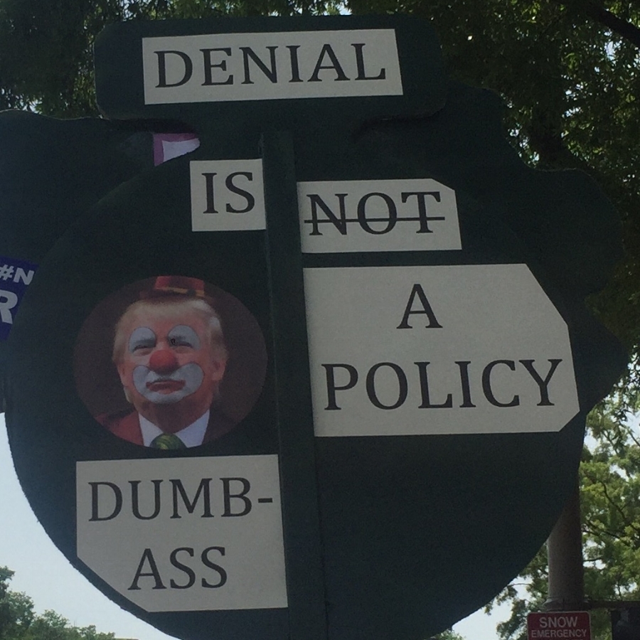
Roy Scranton and the End of Civilization
Photo above courtesy of Jackie Wildau.
What we can do is learn to offer each other patience, compassion, courage, and love. We can learn to accept that just as every human life has its natural end, so too does every civilization. Contrary to what Purdy argues, we don’t need more politics. We need more hospice. We need to learn how to die.
Roy Scranton, Author of "Learning to Die in the Anthropocene" reflecting on "The New Nature" issue of the Boston Review.
This blog was originally published in January, 2016.
I first learned about an article to be published in the New York Times called “Learning to Die in the Anthropocene” by Roy Scranton (which is now a book) when my former wife returned from an environmental conference at Rice University. She had gone there to participate on a panel about the role of the arts, particularly theater, in addressing climate change. As a playwright, she returned curious about Roy Scranton's work because it wasn’t centered in climate science or green technology, but was placed squarely in an arena closer to her own heart - non-fictional literature and modern philosophy.
Scranton doesn't write about climate change or its solutions, but instead where it will take us and the challenge it offers up to the human spirit. Scranton, who had survived a tour of duty during the Iraq invasion, had learned how to survive the war by accepting - at the deepest possible spiritual level - that he very well might not survive. To get through each day he practiced dying as a meditational act, and eventually was able to spiritually embrace that it didn't matter if he died that day in his daily deployment. His job was not to stay alive, but instead to look out for his fellow soldiers. After all, to himself, he was dead already.
Upon his return, Scranton became quite knowledgeable about the intensity and peril of climate change. Trust me; this man minces no words. Scranton thinks western civilization as we know it is dead already because it is dying now. He doesn't think that we will be able to turn our civilization around - in fact, any attempts to arouse optimism in him through social movements fall on deaf ears, maybe not unlike what he had to do in Iraq. I am sure when his fellow soldiers got a bit maudlin and said, “we'll make it home, I know we will”, Scranton wouldn’t go there. It wasn’t helpful, and succumbing to that hope would only make dying, should it happen, that much harder, less elegant and disappointing.
Although I am not ready to give up on my optimism and belief in social movements (a former theater professor, I have been a full-time climate activist since 2007), I believe Scranton’s message is critically important and very, very challenging to take in. In fact, I sent his article to a friend via social media once it was published. She had an immediate and viscerally strong reaction and became quite upset with the article and with me. “How could you send me something so depressing?”, She asked. I was shocked. “Depressing? How is it depressing?”, I asked her. “Because it means the end of art, great literature, scientific knowledge, love, even civilization!”, she answered. “Who wants to give up hope that those beautiful things will go away? What's more depressing than that?”
But they will go away eventually. Maybe not from climate change, but from something. That’s the price of life. There are two things that we all experience in common, without fail. We are born, and we die. We are not here - then we are - and then we are not. Such is the way of everything. Coming to terms with that reality is what philosophy and great art are about, perhaps the most central mystery of science and the raison d'etre of religion. So not accepting that reality is a more depressing idea to me that the idea than we will lose it all. Of course, we will lose it all. That’s the price of life, the price of having been here.
I find it strange, even unthinkable, to come to terms with one's death without coming to terms with the fragility of our entire species. To think we are invincible is arrogant at least and ridiculous at best. Sooner or later, our civilization will perish. However, much as one can slow down the inevitability of one’s own death with good health practices or even technological advances, we might be able to extend civilization as we know it - or even a better version - beyond this century if we change some very fundamental things. In spite of well-meaning attempts, there is a very small likelihood we will stop emitting CO2 soon enough to avoid having to grapple with an inescapably warmer planet and the additional chaos it will bring. That is the task in front of us, of course. Yet, an uncompromising look at our deeply entrenched economic dependence on fossil fuels suggests that we are less likely to transform our way of life in the very short time we have left then a platoon will return from a highly dangerous mission. So, Roy Scranton is right to call on us repeatedly to remove our blinders. For unless we accept the genuine risks we face, we won’t successfully address them.
I don't find the idea that our species may not make it a depressing thought. How arrogant not to realize our lives are that fragile? We are nature after all, and there are countless examples of how civilizations, animal species, flora and fauna, go away. And there are few examples, if any, of civilizations that have endured for more than a few thousand years. That’s how nature works. It’s not kind, except in one way. Consciousness (the essential arbiter of life) may have a shot at eternity. Even if life was wiped out on Earth, the universe is a glorious and complex enough place that I am confident it will emerge somewhere else. And that recognition keeps my spirits up. Some things live on forever, no matter what we do.
So keep railing, Roy Scranton. We do indeed need to learn how to die in the Anthropocene if we are going to have any chance at all of living beyond it.