
A Province of Foresight: Biking Newfoundland
Writing by Michael Chase, Drawings by Jenny Hershey
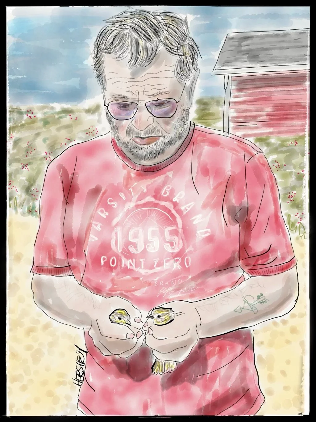
We met Pearce Cull outside the last house in St. Anthony Bight at the tip of Bobby’s Cove. Pearce was busy rescuing two little fire sparrows that had snuck into his shed. A very kind soul, Pearce feeds the sparrows every day. He also mentioned how hard life is for the seagulls nearby. They used to eat scraps from the fisheries but now have to “survive on berries.” Pearce showed us a nearby bluff filled with crackleberries (“don’t eat 'em”) and partridge berries (“pick those when they’re dark purple, then they’re sweet as can be”). Retired, Pearce spends his time drying cod and being an attentive grandfather. He invited us into his house and shared photos of his kids. We noticed a well-crafted blue guitar, but he told us he no longer plays because his hands “don't work so well.” We learned later from another local that Pearce Cull is a well-known traditional Newfoundland musician and songwriter who achieved fame with numerous recordings, including “The Cold Storage,” a song about a cod fishery he wrote and recorded in the 70s. ….You never know who you’re going to meet up here! Drawing by Jenny Hershey. Follow her on Instagram @deeofo.
“History is a relentless master. It has no present, only the past rushing into the future. To try to hold fast is to be swept aside.”
John F. Kennedy
The Trip
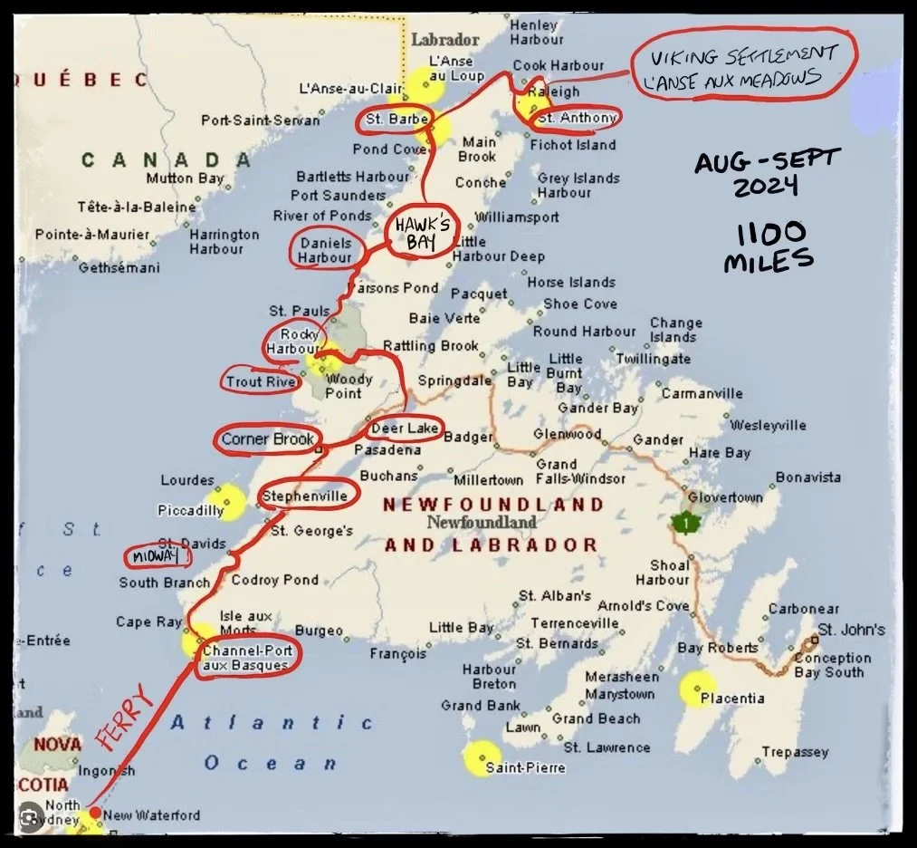
The red line was our route. We left our car in Nova Scotia and biked from Port aux Basques to St. Anthony and L’Anse aux Meadows and back along Newfoundland's western peninsula. With side trips, we cycled about 1100 miles. Next time, we’ll visit St John’s and key places on the eastern shore. And hopefully, someday we will make it to Labrador! We had planned to go this trip, but winds and a lack of time got in our way.
It was probably 50 years ago when I first thought about biking in Newfoundland, and it’s been at least six years since Jenny and I decided to go. In my youth, I imagined circumnavigating the island on a bicycle, not knowing the southern coast is too rugged for a throughroad. That said, it is possible to traverse the whole island on the Trans-Canada Highway between the western and eastern shores (where ferries run between the island and Nova Scotia) by following a single arc that cuts from the southwestern corner of the island to its southeastern shores. However, Jenny and I didn’t take the route from Port aux Basque in the west to Saint John’s in the east (nor did we follow the iconic all-terrain biking “rail trail” that runs roughly along the same route as the Trans-Canada).
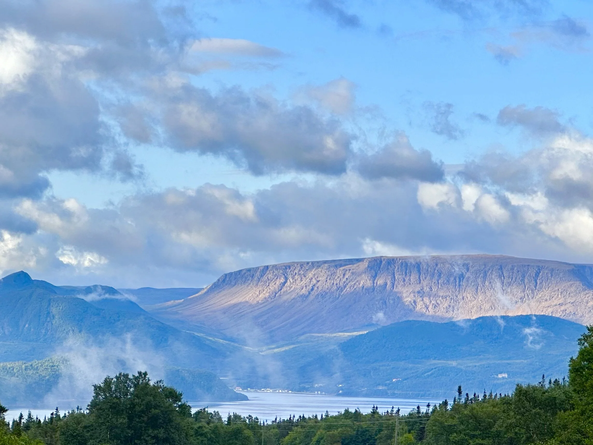
A shot of the Tablelands (the flat peak on the right) and Bonne Bay in Gros Morne Provincial Park. The scenery on the western peninsula of Newfoundland is unparalleled, and the island (together with Labrador) is the least densely populated of all the Canadian provinces, at 1.4 people per square kilometer. It is also home to some of the friendliest and most cheerful people we have ever encountered.
We had heard the west coast was more rugged and mountainous than the many scenic bays and forested peninsulas to the east. But the biggest attraction was the overwhelming beauty of the Gros Morne Provincial Park (and UNESCO World Heritage Site) to our immediate north, which has played a significant role in the understanding of plate tectonic theory, a central feature of modern geology. We were also seduced by the L’Anse aux Meadows Viking settlement (another UNESCO World Heritage Site) at the northern tip of the western peninsula, a short distance from Labrador. Finally, we knew the collapse of the cod fisheries in the 1990s had hit the fishing villages on the Westen Pennisula particularly hard, and we wanted to learn how communities were faring.
So, we left the main highway at Deer Lake and biked up the final stretch of the Appalachian mountains known to Newfoundlanders as the “Long Chain” and then hugged the coast almost to the northern end of the western Peninsula, passing through Gros Morne. A hundred or so miles above the park, the route passes within easy sighting of Labrador, providing access to the only ferry on the island between Newfoundland and its sibling province on Canada’s mainland. We finally turned east and crossed a high, rocky, windswept plateau that meanders to its end at the northeastern tip of the peninsula at L’Anse aux Meadows. If you go directly, the trip up and back is about 1520 kilometers or about 900 miles. It’s more than worth the effort. On bicycles, it’s extraordinary. It was simultaneously the most beautiful and challenging cycling trip Jenny and I have taken.
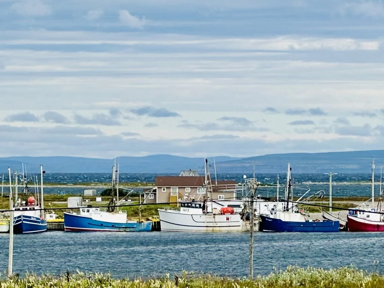
Fishing boats docked in Flowers Cove. Across the Gulf of St Lawrence, in the background, lies Labrador.
As we cycled toward Labrador, we were intrigued to learn that it has shared centuries of intertwined history with Newfoundland. Labrador was settled along its coastline, and navigating the 30 miles across ice or water in the upper Gulf of St Lawrence to get to Newfoundland is far easier than navigating a thousand miles overland through boreal forest to reach lower Canada. The region's earliest known inhabitants were the Innu and Inuit in Labrador and the Beothuk in Newfoundland. These groups had rich cultures and trading histories long before European explorers arrived. The first known European contact came around 1000 AD when the Vikings briefly settled at L'Anse aux Meadows. Through the 16th to 18th centuries, Newfoundland and Labrador were battlegrounds for colonial competition between European powers, notably the English and French. The French occupied Labrador and Newfoundland’s Western Peninsula for a time, and the British occupied eastern Newfoundland, establishing St. John’s as America’s oldest city in 1583.
The 20th century brought significant changes, including Newfoundland and Labrador's brief period as an independent Commonwealth dominion starting in 1907. However, economic difficulties during the Great Depression led to Newfoundland and Labrador joining Canada as its tenth province in 1949. Their shared history has shaped Newfoundland and Labrador's unique cultural and political identity, blending Indigenous heritage with European influences and modern Canadian development.
The Context
If you have read other posts on this blog, you know we look at our cycling trips through the lens of Earth’s rapidly changing climate. Over the past few years, extreme weather events have increased in number, intensity, and duration at a pace that requires us to catch up every time we travel (approximately every other month).
Here’s an example: Global temperatures between June and August this year averaged 1.5 degrees Celsius (2.7 degrees Fahrenheit) above the preindustrial average. The sweltering season reached its apex in late July, breaking a record for the four hottest days ever recorded. Temperatures for this year have far exceeded anything seen in more than 80 years of recordkeeping, making it all but certain that 2024 will be the hottest year known to science.
Although we are in Canada, we begin our climate review in the United States since the US is the most prone to weather-related disasters among the three countries occupying the North American continent. Because of its unique geography and unsurpassed variety of climatic zones that span two oceans, the Gulf of Mexico and the Rocky Mountains, Americans suffer disproportionately from weather extremes compared to their neighbors. By August 2024, the US had already experienced over fifteen separate $billion-plus weather and climate disasters. Total costs for extreme events in the US for 2024 may eventually exceed $50 billion, along with several hundred fatalities (there were 84 known fatalities by the end of May). Some estimates of property damage from Hurricane Beryl’s landfall in Texas have already exceeded $30 billion. And, as I write this, in the first week of September, at least 36 million Americans are enduring record-breaking heatwaves in the Southwest and on the West Coast. In the Los Angeles area, over 110,000 acres of land are currently burning due to the intense heat. The fires have forced tens of thousands of people to evacuate and have destroyed dozens of homes. The situation remains critical, with dry conditions and complex terrain challenging firefighting efforts.
Hopefully, last year’s wildfires were an exception in Canada, when fires released over 647 million tons of carbon into the atmosphere. (That amount is roughly comparable to India's annual CO2 emissions and more than four times larger than Canada's.) While not as brutal, the 2024 season has still been severe, with over 6,500 fires recorded so far across British Columbia, Alberta, and the Northwest Territories. In addition, Eastern Ontario, Northern and Southern Quebec, and Atlantic Canada all experienced intense heatwaves in June, as temperatures hovered significantly above past normals.
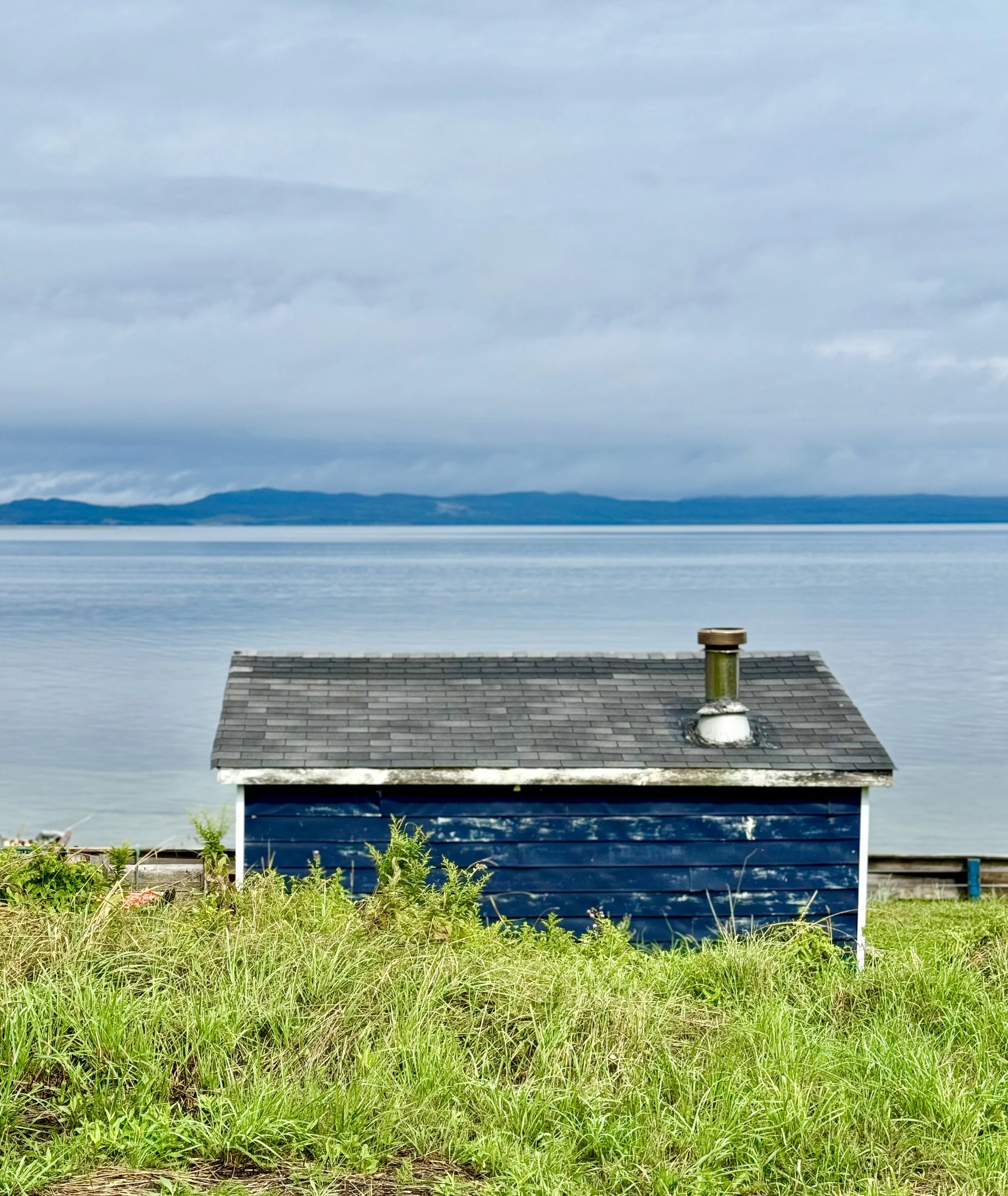
Rain clouds above on our second day out, as we rested near an old fishing shack looking across Sandy Point Bay toward Stephenville.
Our arrival in Newfoundland coincided with the end of a dry spell as we endured four days of heavy rain and wind from Hurricane Ernesto after we disembarked from the ferry. Nevertheless, we could easily see how dry the rivers and grasslands had become. With global ocean temperatures at record highs, the Canadian Hurricane Centre expects a very active hurricane season. We have not forgotten that prediction, and as I write this, we are following Francine's impact on Louisiana and points north.
The rest of the world has experienced its fair share of extreme weather events this year, including severe and enduring heatwaves in India, the Philippines, Thailand, and Bangladesh. In India, temperatures reached up to 46.3°C or 115.34 F, considerably impacting public health and daily life. As if that wasn't bad enough, a combination of global warming and deforestation led to devastating landslides there in July, resulting in the deaths of over 420 people. The state of Rio Grande do Sul in Brazil faced extensive flooding between April and May, with over 100 fatalities and significant damage. At the same time, 7.4 million acres of Brazil’s Amazon burned in the first half of 2024, a 122% increase from the previous year. The United Arab Emirates experienced its heaviest rainfall in 75 years in April, causing widespread flooding and disruptions, leading to over 225 deaths and displacing more than 212,630 people.
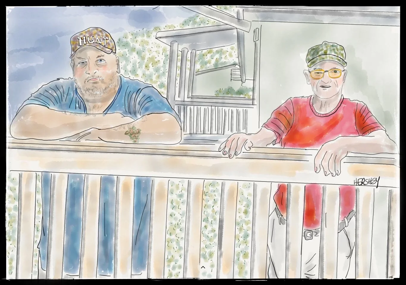
We met Doug and Cyril in the town of St. George. They are best friends and have fishing cabins next to each other, and both work in the limestone mine on the other side of the bay in Stephenville. Doug offered to let us eat lunch on his porch as a respite from Hurricane Ernesto's rain as we all chatted about Newfoundland’s changing weather and politics in the US. Locally born, both men were unequivocal about how the weather has changed since they were kids; there is less and less snow every year, the winters are warmer and shorter, the summers hotter and longer, and there are longer spells of rain and drought than there used to be. Regarding US politics, Doug believed our economy was better under Trump. But Cyril didn’t buy it, and he called Trump a “Hitler.” As opposite as their views were, there was little divisive energy between them. Ironically, Doug is in blue, and Cyril is in red. Drawing by Jenny Hershey. Follow her on Instagram @deeofo.
Newfoundland and Labrador
Like the rest of Canada, 2023 was a challenging year for wildfires in Newfoundland and Labrador. This year has been better, but with temperatures averaging approximately 0.8C (1.44F) above historical norms, fires will intensify as the climate grows warmer. In addition, sea ice will decrease, permafrost will thaw, and wildlife and vegetation will change. Like Doug and Cyril above, every Newfoundlander we met acknowledged how much warmer the weather is from a few decades ago. The warming climate directly affects local communities, most notably in Labrador where cold temperatures are crucial in daily life. Warmer winters are disrupting traditional activities and cultural events, such as snowmobile races and even the Labrador Winter Games.
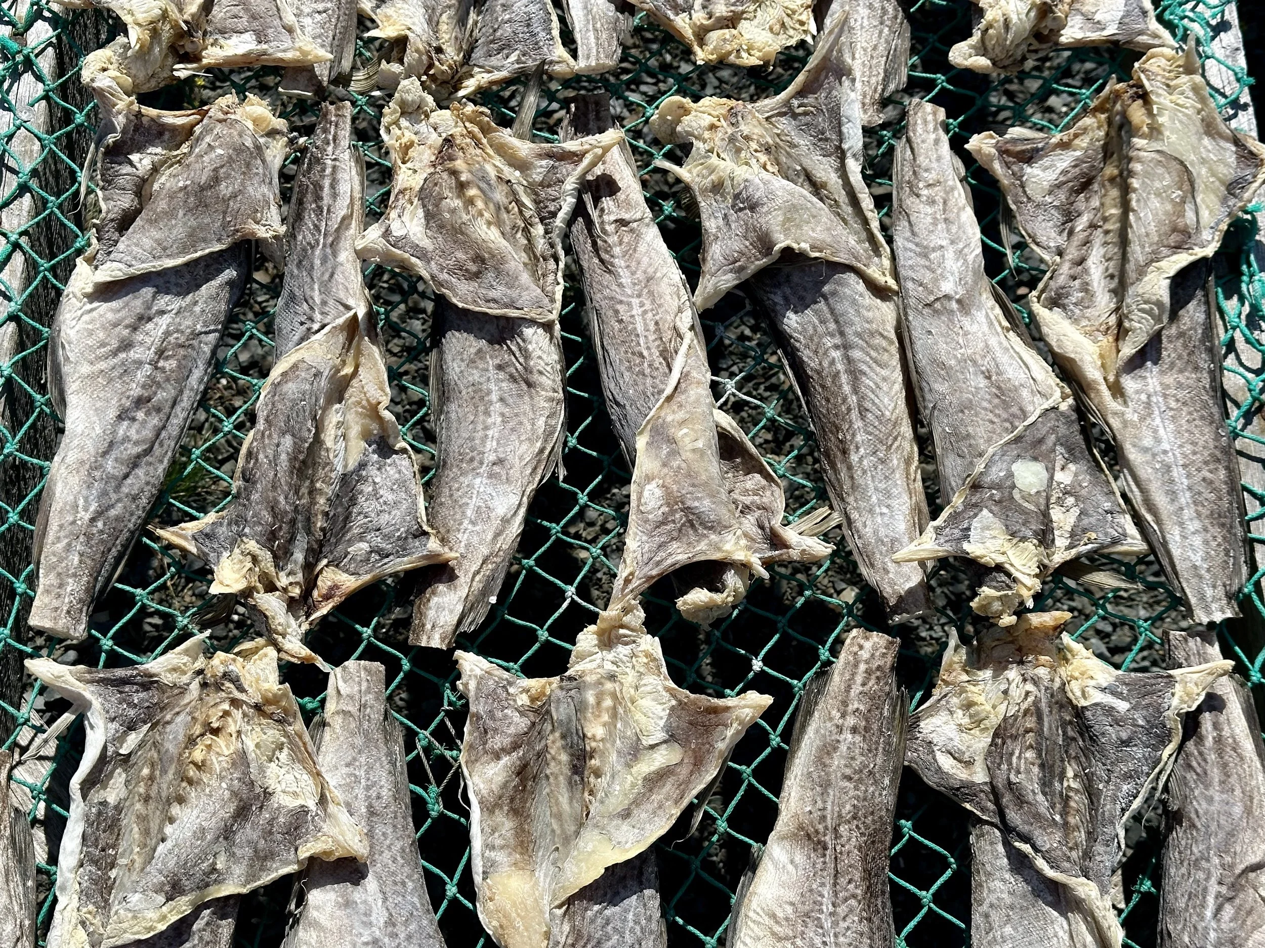
Salted cod drying in the sun at Pearce Cull’s place in St Anthony’s Bight. Pearce kindly explained to us how he cures salt cod the way Newfoundlanders have for centuries.
For most of their history, Newfoundland and Labrador’s economies and cultures have depended heavily on fishing. The province's cold, nutrient-rich waters have supported abundant fish stocks, mainly cod, for centuries. However, overfishing led to the tragic collapse of cod stocks in the 1990s, devastating coastal communities. Although the discovery of offshore oil reserves in the late 1970s helped to diversify the province's economy, the offshore rigs are located off the eastern shore and have not brought employment to the western peninsula. However, iron ore, nickel, gypsum, limestone and rock salt mining have all been significant job providers on the western shore.
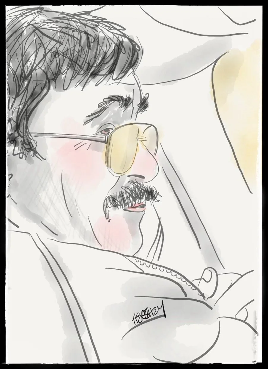
Primus, a retired fisherman, helped Jenny and me escape a challenging situation. We met him in his hometown of Green Island Brook in far northern Newfoundland. Although Jenny and I had cycled across a very windy high plateau as we left St. Anthony to begin our trip back to Port aux Basques, we hit ferocious 30-40 mph winds as we turned down the coast toward Saint Barbe. We couldn't stay upright, even on our fully-loaded pedal-assist e-bikes. We had already drained our batteries of most of their power getting over the plateau, so using enough energy to ride 26 more miles in that wind was not an option. We probably had covered about 4 miles since we had hit the coast when we saw a tiny cluster of houses in a cove ahead. Jenny had made her mind up. We took a turn down Main St and saw a child playing outside in the wind with her dog. She was having fun throwing a frisbee that would travel far in the wind, and her dog was happy to bring it back. We noticed the child’s mother standing in the doorway of a nearby house. Jenny removed her helmet to reveal her gray hair and said,” I hear the people of Newfoundland are good people, and we are in trouble.” In a moment, an older man came to the door and listened patiently to Jenny’s tale. He said, “My brother can help you.” He went back inside, and in a few minutes a man drove up the road in an old pickup truck. With the thickest Newfie accent we had heard yet, Primus and his brother helped us load our bikes and gear into his truck, and he drove us to our motel in Saint Barbe. Although we couldn't understand everything Primus was saying, we learned that shore fishing was no longer possible, and there was little work for most of the permanent residents along this coast. Consequently, the population is aging and schools are closing. It turned out that day's wind was so intense that the only ferry to Labrador had been cancelled. The next day was a bit less windy, and the ferry resumed. And so did we, continuing south for the remainder of our trip with a substantial headwind and periods of rain. But it was manageable, proving the adage that “what doesn't kill you makes you stronger.” Drawing by Jenny Hershey. Follow her on Instagram @deeofo.
Foresight
In recent years, Newfoundland and Labrador have formalized plans to transition to renewable energy exports by using wind power to generate green hydrogen. Given the province's longstanding economic ties to resource extraction and fishing, it seems fitting that the province would leverage its abundant wind and strategic location to become a significant player in the fast-growing global clean energy economy.
In fact, the province is already home to a clean electricity industry, although not without its downsides. Approximately 96% of Newfoundland’s electricity is supplied by hydropower, primarily from Labrador. The largest hydroelectric station was built in the late 1950s at Churchill Falls, about 150 miles east of Labrador City. In 2020, a smaller hydropower station was opened at Muskrat Falls, just east of Goose Bay, Labrador. In the 1960s, a power station was built at Bay d’Espoir in Newfoundland. The two stations in Labrador transmit power to Newfoundland via the Labrador-Island link or LIL.
Although there was limited pushback during construction in the 1950s and 60s when the first hydroelectric plants at Churchill Falls and Bay d’Espoir were constructed, the recent construction of Muskrat Falls in Labrador frustrated many locals across the Province. The project was initially estimated to cost $6 billion but, plagued by management problems, ballooned to over $13 billion, causing electricity rates to increase. In addition, ongoing technical issues have required costly repairs and raised doubts about the project's long-term viability. And although Indigenous groups and environmentalists raised alarms about methylmercury contamination, their concerns were overlooked.
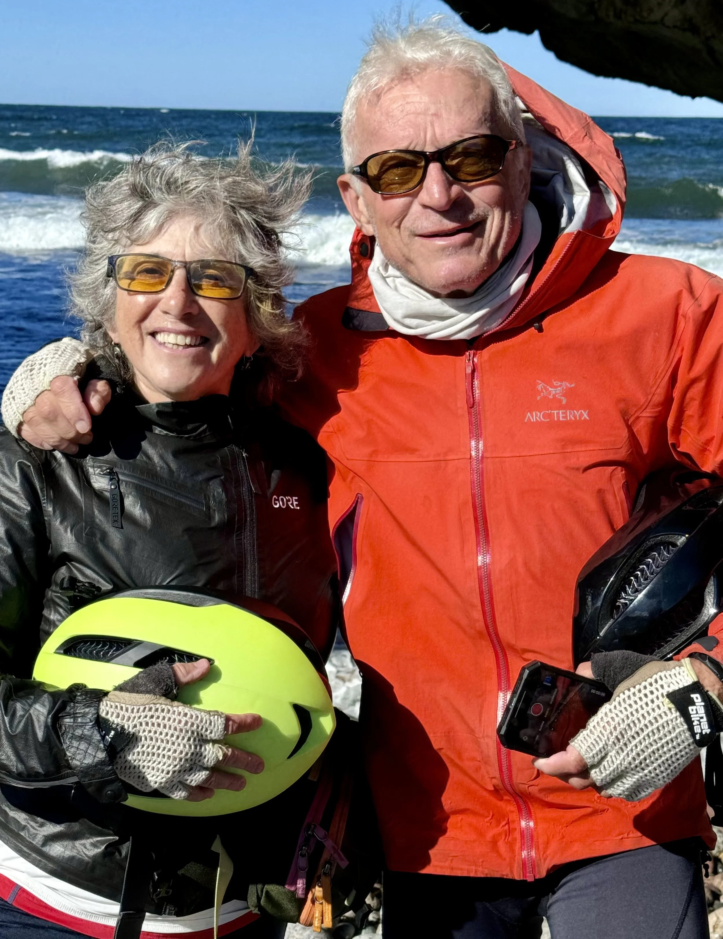
Jenny and Michael relax at Arches Provincial Park on Newfoundland's western shore.
Sadly, it is now understood that the flooding of large areas common to the construction of hydroelectric dams can adversely impact local Indigenous communities by limiting access to traditional hunting grounds. Further, these plants do indeed result in methylmercury contamination, harming regional food harvesting downstream. It is known that indigenous residents who rely on “country” food sources face more methylmercury exposure than other Canadians. Long-term dietary exposure to methylmercury causes neurocognitive delays in children, including long-term brain development issues, attention deficit behavior, and reductions in verbal function and memory. Additionally, methylmercury damages cardiovascular health in adults.
Ironically, none of the Indigenous communities affected by downstream mercury contamination receive electricity from the Muskrat Falls Project or the Churchill Falls Project. All six Indigenous communities on Labrador’s North Coast are exposed to contamination from shore fishing and harvesting where the effluence from the Grand River downstream of Churchill and Muskrat Falls flows into the Gulf of St. Lawrence. Yet, electricity in these communities is supplied by diesel generators.
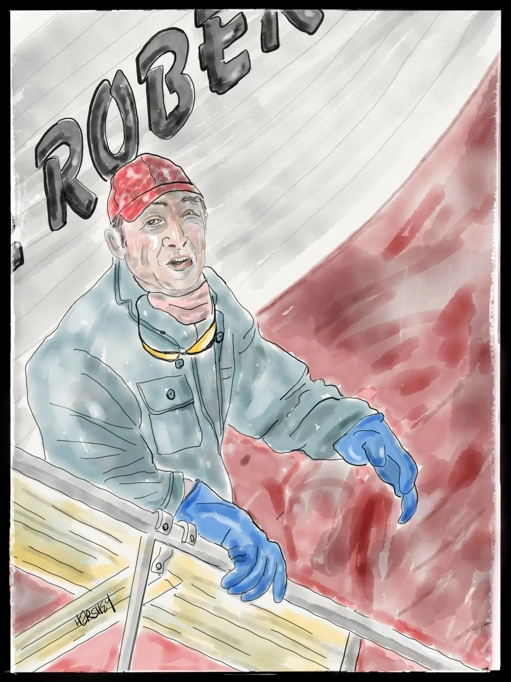
We met Dwayne in Port Saunders as he was hanging off a scaffold and sanding away a crack on the hull of the shrimping boat Cape Robert. In a melodic accent that sounded like a mash-up of Irish hill country and the rocky shores of eastern Canada, Dwayne told us he is crew for a commercial off-shore shrimp fisherman out of nearby Port au Choix. Except for a ten-year stint working on skid-mounted rigs in Alberta's tar sands, Dwayne has fished for shrimp his entire life. He gets 10% of the take for each trip, but part of the deal includes maintaining the ship, so he works for no pay when “she’s” docked. A few times every summer, he and his fellow crew members have to dry-dock the boat, mend all the cracks in the hull, and paint it as quickly as possible to get it back in the water. That’s how the deal works; “It's jus' part o' da arrangement, it is." Dwayne is 62, but he doesn’t see retiring anytime soon. He’s always spends what he earns, so he needs every penny to get from one season to the next. Seemingly unbothered and quite cheerfully, he told us, "I'll work 'til I can't, me friends. Jus' don't 'ave a choice, do I?" Drawing by Jenny Hershey. Follow her on Instagram @deeofo.
Now a public-private corporation under Crown jurisdiction, Newfoundland and Labrador Hydro (NL Hydro) has never needed to generate more clean electricity through wind power. However, they do need to address inequities in their design and siting plans for their hydropower to include and benefit local indigenous communities. The lack of need for wind power may explain why the province placed a moratorium on wind development in 2002 (which was lifted in 2022). Although there is a maritime link from Newfoundland to Nova Scotia, it is already working at capacity. So years ago, when wind developers came knocking, NL Hydro could neither manage nor build the transmission capacity required to handle wind-generated electricity. NL Hydro and government collaborated to create the moratorium on wind development until they had a sound plan for utilization.
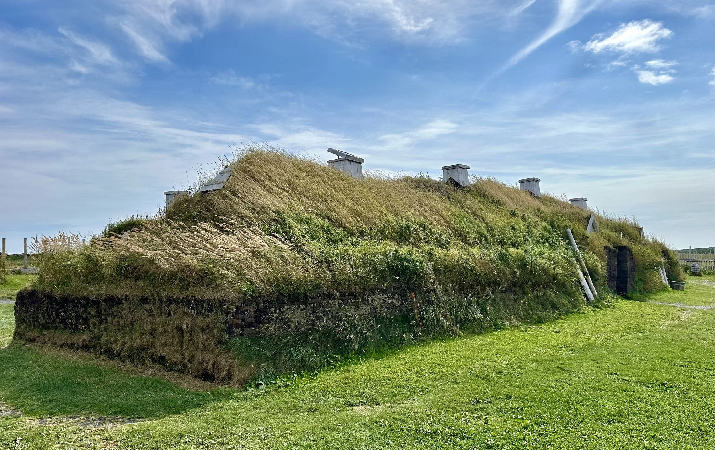
The main sleeping and eating room at L’Anse aux Meadows, a reconstructed Viking settlement dating back to 1000 AD. This extraordinary archeological site (and the only known Viking site in North America) was “discovered” in 1960 by Norwegian explorers and archeologists Helge and Anne Stine Instad. They identified the site (known to locals as the old “Indian” site) as a Norse settlement, which was later confirmed through extensive excavations. Today, L’Anse aux Meadows is a popular tourist destination. We really enjoyed visiting!
And now, because Russia invaded Ukraine, a plan for wind power has finally emerged. Geopolitical trends have driven Europe to avoid buying Russian gas and oil. This has been a boon to America’s shale gas industry, which now exports more natural gas than it uses domestically because Europe no longer wants to do business with Russia. And Germany, in particular, which has long been a leader in clean energy, foresees a massive market for hydrogen as the world moves away from fossil fuels. Germany’s renewable energy sources currently provide 57% of Germany’s electricity. However, electricity can only go so far to address the decarbonization of shipping, aviation, long-haul ground transport, rocket fuel, and the production of basic materials such as cement and steel. Hydrogen can address all those needs. Consequently, Germany seeks to be on the cutting edge of hydrogen development.
With these geopolitics in the background, Canadian Prime Minister Justin Trudeau and German Chancellor Olaf Scholz signed an agreement in August 2022 to develop a transatlantic supply corridor for green hydrogen. The deal, known as the "Canada-Germany Hydrogen Alliance," aims to help Germany reduce its dependency on Russian energy. Since then, a provincial “Request for Projects” (RFP) has resulted in more projects being selected across the island and Labrador. They all aim to use wind power to manufacture green hydrogen through hydrolysis, which can be converted to ammonia and then shipped to European markets, starting with Germany.
But, like the Muskrat Falls Hydroelectric plant construction, this plan has downsides. One of the critical projects in this agreement is the World Energy GH2 initiative, which includes the construction of a large hydrogen manufacturing plant in Stephenville, with 164 wind turbines positioned nearby on the Port au Port Peninsula. Although World Energy GH2 is the first Newfoundland Company to undergo environmental review, it currently must address at least 60 concerns. Other drawbacks include a considerable pushback among the 500+ “old French” residents who live in the Port aux Port peninsula and do not want the rugged character of their beloved peninsula permanently altered. Although almost 45% of the local population is currently on unemployment insurance, and many others are retired, most are skeptical that there will be jobs when the construction phase is complete.
To understand how many jobs are likely once construction is complete, we consulted numerous sources through Microsoft's AI tool Copilot, and we learned that after the construction phase, a 3900 megawatt wind farm (approximately the size of the World Energy GH2 project proposal) and its associated wind to green hydrogen supply chain may create as many as 16,000 permanent jobs. This includes operations and maintenance, manufacturing, supply chain logistics, and green hydrogen/ammonia production jobs.
Nevertheless, Jenny and I heard complaints about the proposal pretty regularly. At the same time, we couldn't help but notice the province's economic challenges. It was disheartening to learn that a significant portion of the population lives in low-income conditions, well below the Canadian national average. The limited job opportunities, particularly in rural areas, seem to exacerbate the financial hardship experienced by many residents, making it difficult for them to make ends meet.
We spoke with a motel owner in Corner Brook who shared a poignant story about his three kids, referring to them as "economic refugees," because they had all “moved away to cities on the mainland” to find work. This story echoed what we were told by many other Newfoundlanders; apart from two individuals we encountered who had one or two kids living in St John's, everyone else we spoke to mentioned that their children had left Newfoundland and Labrador to seek better opportunities elsewhere.
As outsiders, we can't help but worry about the long-term implications of the exodus of young people on the province's future. The loss of skilled, youthful workers can have far-reaching consequences, affecting the demographic composition, local economy, and overall vitality of communities. It became clear to us that efforts to retain young talent and attract newcomers are crucial for the province's long-term sustainability and growth.
So, as much as we understand the pushback by residents who are mistrustful of this idea, yet still deeply love Newfoundland and Labrador for the beauty of the land and the rugged self-reliance of its people, we believe they should rise to the challenge at hand and work together with government and industry to build a brighter future for their province. We sincerely hope to return one day and witness Newfoundland and Labrador thriving with a vibrant economy and opportunities for all its residents, including its younger generations.
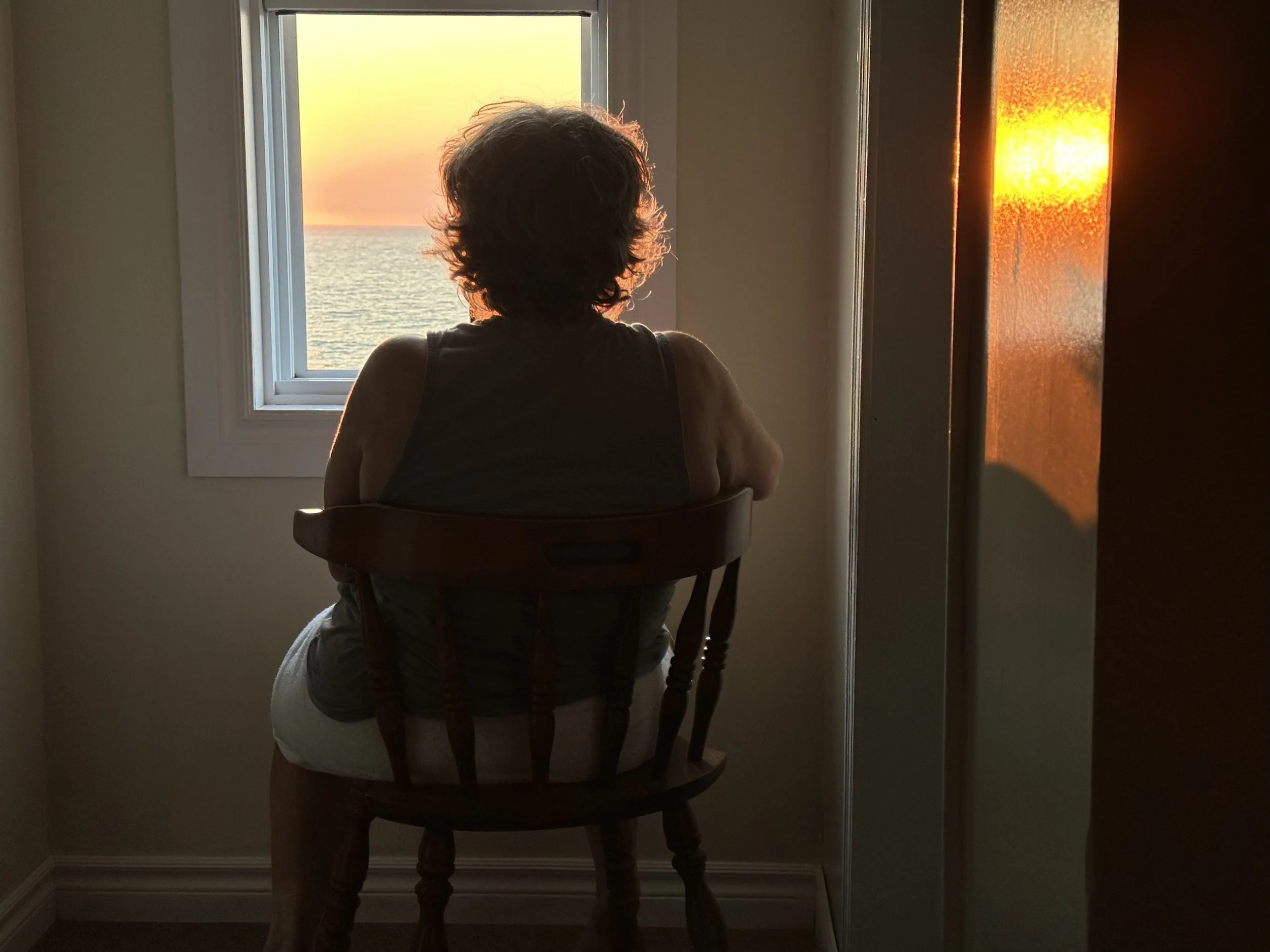
Jenny watches the sunset from a motel window in Daniel’s Harbour.
It would be exciting to watch Newfoundland become a significant player in the global clean energy economy, and it could certainly attract jobs and a renewed vitality to a beautiful place with atrophying industries. While challenges remain, Newfoundland and Labrador’s bold vision for a renewable energy future offers a model for other regions seeking to diversify their economies and combat climate change. Newfoundland and Labrador is truly a province of foresight. Let’s hope they succeed and we can learn from them.
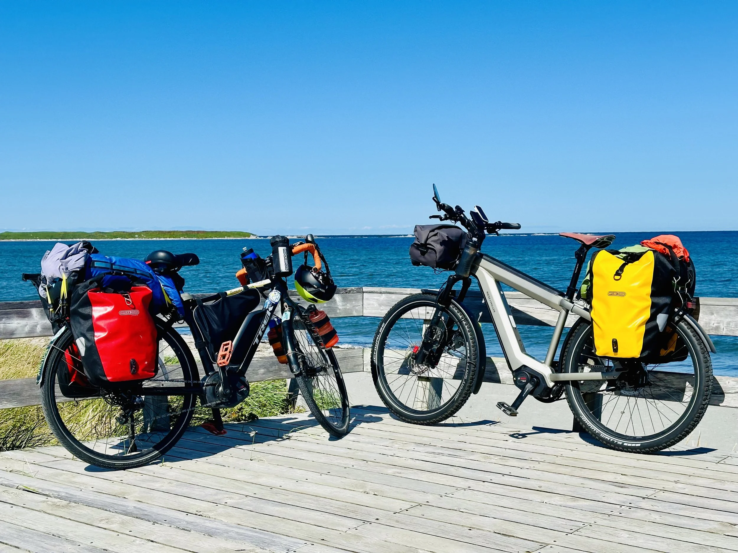
Our bikes on a boardwalk in Gros Morne Park at Shallow Bay near the town of Cow Head.
Consequently, we were pleased to learn that a second wind-to-green hydrogen company in St. John's recently announced a German buyer for its ammonia, a first among the Newfoundland companies competing in this space. A deal with the German energy firm Mabanaft places Pattern Energy ahead of World Energy GH2 in the race for foreign markets. The agreement is currently limited to a letter of intent as Mabanaft does its due diligence and Pattern refines the project's financial model (expected to cost about $1.5 billion). At 300 megawatts of wind power, the Pattern project is the smallest of the proposals in Newfoundland and Labrador. In contrast, the World Energy GH2 project on the Port au Port Peninsula is about 13 times larger. Pattern is also the only company proposing to build its project on private land within the Port of Argentia. While other companies have talked about the potential for ammonia to be turned back into hydrogen and used as the clean fuel of the future, Pattern is content to sell ammonia for the sake of ammonia. Mabanaft views ammonia itself as a transition fuel, not just a carrier of hydrogen.
Epilogue
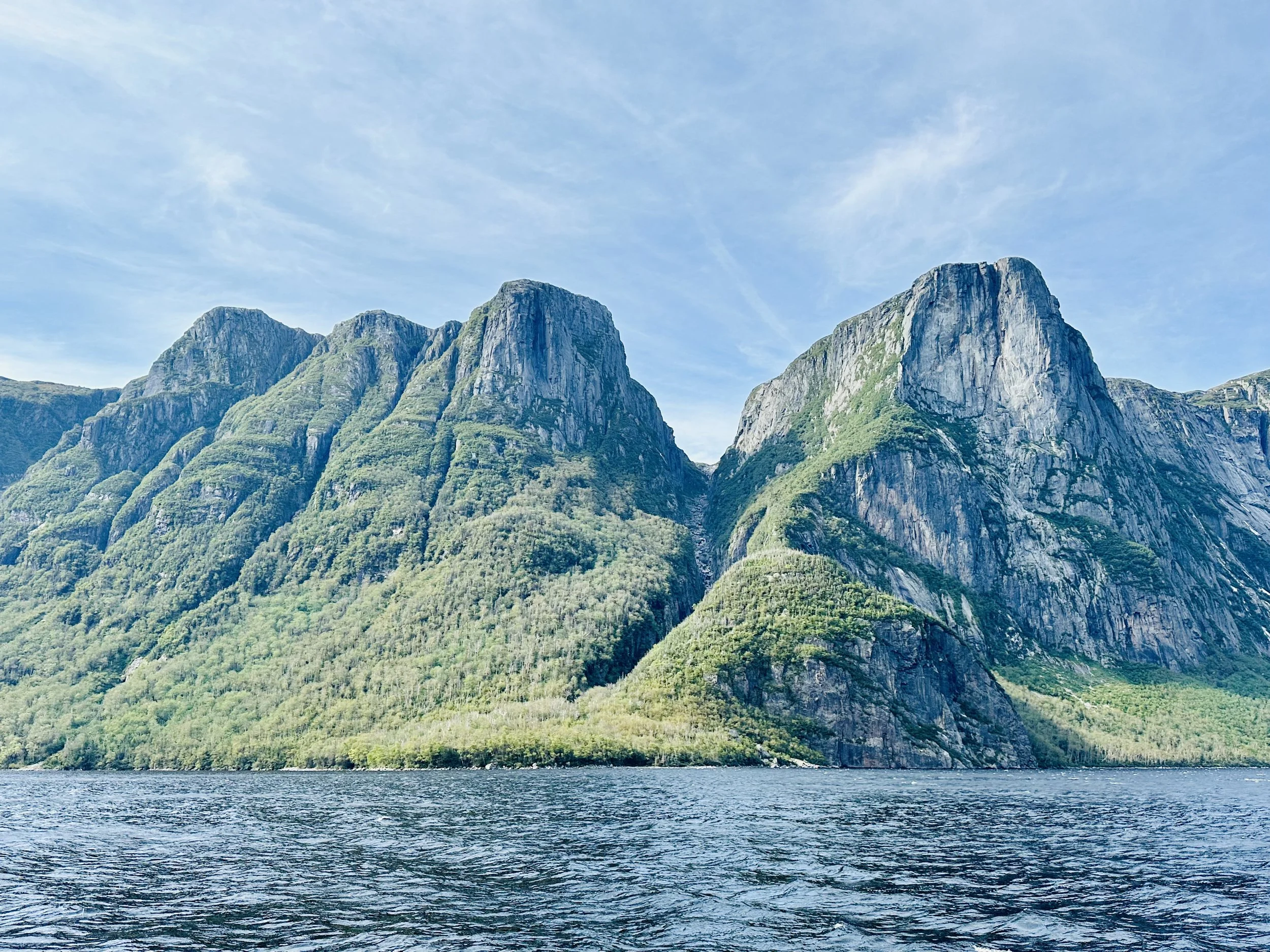
Mountains across Western Brook Park in Gros Morne Provincial Park.
People all over the world are reeling from the mounting costs and suffering wrought by our overheating world. And it’s going to get worse before it gets better. The latest forecast from the World Meteorological Association (WMO) indicates an 80 percent likelihood that the annual average global temperature will temporarily exceed 1.5°C above pre-industrial levels for at least one full year of the next five. These discouraging figures underscore the urgent need for robust, science-based policies among world leaders to address the climate crisis head-on. Yet, in the face of this unfolding catastrophe, many of our current leaders cling to woefully inadequate measures that fail to meet the scale and severity of our challenge. Something can always be done, especially in democracies where one has the right to vote.
Consider the Presidential race in the United States. Democrats passed the most significant climate bill in US history (the Inflation Reduction Act) during the Biden administration, which will continue to have support under Kamala Harris. Yet, Trump says he will repeal it. The Republican party’s denial of science in this day and age is profoundly disturbing. Currently, 97% to 99% of climate scientists agree that climate change is happening and that human activity is the primary cause. In contrast, the U.S. House of Representatives includes 40 times as many climate science deniers as are found among the authors of scientific articles.
It’s not too different in Alberta, Canada, where big oil economic interests and climate science denial also shapes the province’s policy landscape. Many Alberta politicians, most notably Premier Danielle Smith, have vehemently opposed Canadian federal climate policies, criticizing federal clean energy regulations as absurd, illogical, unconstitutional, and unscientific. It's the same everywhere: where big oil money talks, common sense walks...
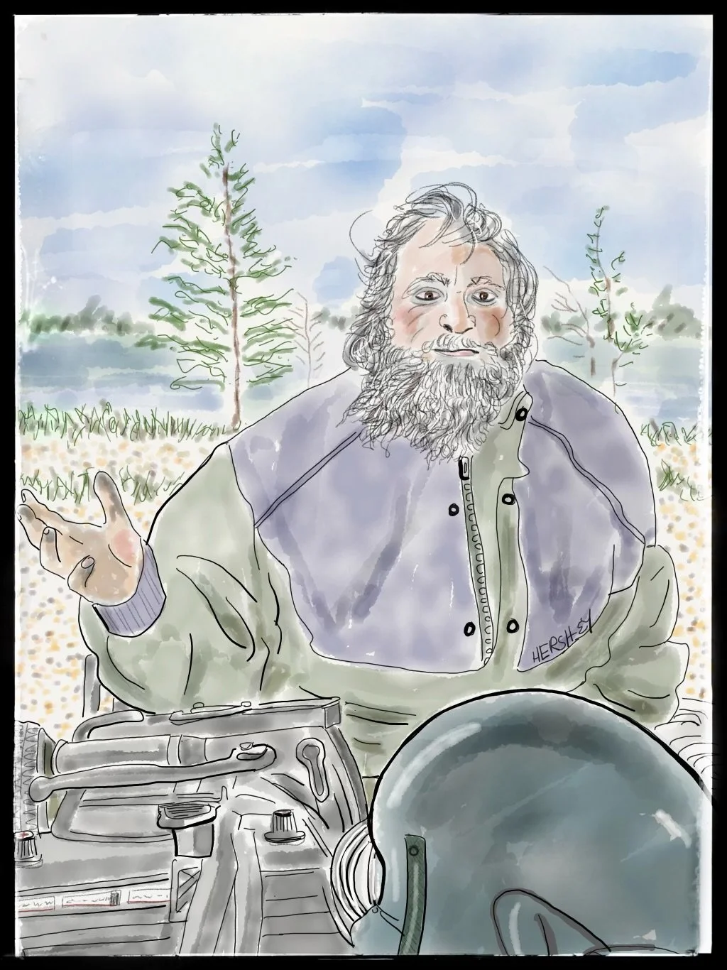
We met Victor in Port Saunders while packing groceries into our bicycle panniers. He pulled up on a weathered ATV, hauling an old wooden trailer full of wood, tools, and gas containers. Very friendly, and with a thick accent of Irish brogue and Canadian twang that we could only half understand, he told us he used to be a fisherman but now he lives on $600 a month he gets from the government. He said it’s not enough to survive and certainly not enough to pay for rent. Victor’s life is hardscrabble, but his one comfort and lifeline is his trusty ATV. He referred to her as “she” and called her his prostitute, “Cause I 'ave ta pay so damn much money ta keep 'er runnin', I do.” Victor then took us by surprise by lecturing us (once he learned we were from the States) about Donald Trump’s ethics. He referred to the Inside Hollywood tapes of Trump talking about what he would do to a woman’s…. well, he wouldn’t even say the word! But then he went on, “‘Ow could a man who was found guilty of sexual assault be elected as President? Dat's absolutely mental, it is!" A man with firm convictions and lots of common sense, we agreed with most everything Victor said (that we could understand). Drawing by Jenny Hershey. Follow her on Instagram @deeofo.
Yet, our politics in the States gets even weirder. Republicans have a massive and well-developed agenda for global warming. As Emily Atkinson writes in Heated on Substack (August 26), it boils down to three words: “Let it rip.” She goes on: “The Republican climate agenda is summarized nicely in Project 2025, the notorious 900-page policy plan developed for Donald Trump by the conservative Heritage Foundation. It proposes gutting the Environmental Protection Agency and its climate regulations, re-opening the Arctic National Wildlife Refuge for drilling, defunding the nationwide transition to renewable energy, and eliminating environmental justice initiatives. In addition, political appointees serving under Trump “will have to eradicate climate change references from absolutely everywhere”—because, as we know, ignoring a problem helps fix it. Overall, Project 2025 is a veritable smorgasbord of “burn it all down,” and it aligns squarely with Trump’s own actions and pledges.”
Ignoring overwhelming scientific evidence and consensus is not just misguided; it's morally bankrupt and irresponsible, particularly in the face of such obvious and indisputable evidence. Ignoring extreme weather events is a flagrant gamble with the lives and livelihoods of millions, the stability of the global economy, and the very habitability of the only planet we call home. As these ever-growing multi-billion dollar disasters make painfully clear, Americans and Canadians can no longer afford to indulge those who put short-term profits and political expediency over the safety and well-being of our communities. The catastrophic losses we're already experiencing are a mere preview of the unimaginable human suffering, ecological devastation, and economic havoc to come if we fail to act with the boldness and urgency demanded by science.
Our path forward could not be more starkly vivid. We can choose to heed these unmistakable warning signs and launch an all-out mobilization to slash emissions, transition to clean energy, and bolster our resilience in the face of unavoidable climate shocks to come. Or we can condemn ourselves and future generations to an ever-escalating onslaught of climate mega-disasters that will make today's $billion+ calamities woefully insignificant by comparison. Let us pray we choose wisely for the sake of ourselves, our children, and generations yet to be born. The hour is late, and time is not on our side.
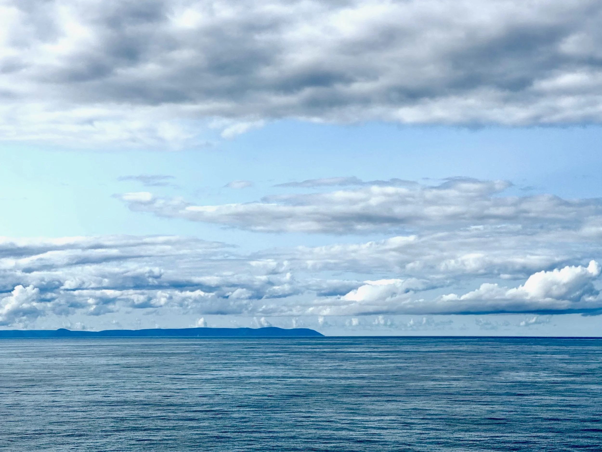
A shot of Cape Breton, Nova Scotia, from the ferry on our return.
Stay vigilant! Thanks for reading. If you haven’t done so, please subscribe to this blog to follow our next biking trip.
Blog writing by Michael Chase. Drawings by Jenny Hershey. Unless otherwise noted, all material is the copyrighted property of the blog post authors, including all photographs and drawings.
Jennifer Hershey’s drawings can be enjoyed on Instagram @deeofo.
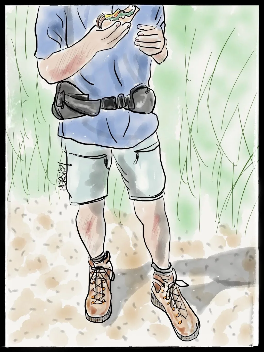
We first met Gary on his 81st day of walking across Canada between Nipigon and Thunder Bay, Ontario, during our May 2024 cycling trip around Lake Superior. At the time, Gary explained he was walking from Vancouver to St John’s, Newfoundland, to raise money for a cause he was passionate about. Jokingly, Jenny said, “Maybe we’ll see you there; we’re going to Newfoundland in September.” On Day 162 of his transcontinental hike, we met him again. We were biking toward Port aux Basque to catch a ferry back to the mainland on Trans-Canada Highway 1, just south of Corner Brook, NL. We had been following Gary on social media, so we thought our paths might cross. We brought him a huge sandwich and fresh fruit, exchanged travel stories, and then went our separate ways. Gary was on his third pair of hiking boots, and Jenny was on her oldest touring bicycle. Drawing by Jenny Hershey. Follow her on Instagram @deeofo.
The Intimacy of Nature: Biking Northern Lake Superior
Writing by Michael Chase, Drawings by Jenny Hershey
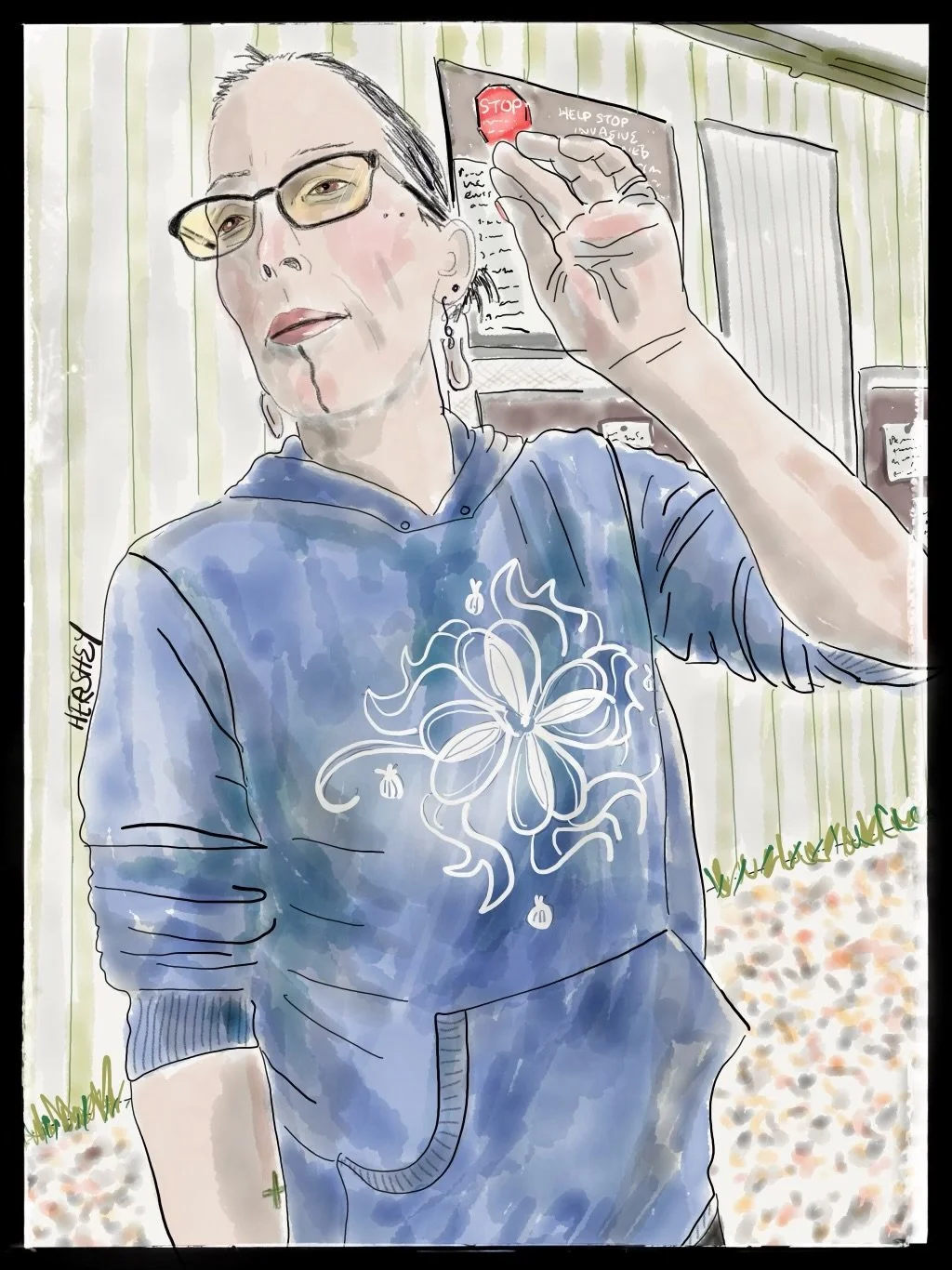
Heather is a member of the great Ojibwe Nation. She lives in Grand Portage, MN, on the Grand Portage Reservation near the US/Canada border of Lake Superior. Heather, whose Ojibwe name is Gizhiiwe, was born and raised in the Gichi-onigamiing Ishkonigam (the Ojibwe name for the reservation lands), and she manages a marina next to a campground. The marina, campground, and a nearby casino are all owned and managed by the Ojibwe Reservation. Heather is raising four daughters, a friend’s son, and a niece. A hardworking woman who has experienced many joys and sorrows, her kids are her biggest joy. Heather still grieves over the loss of her twin boys, who were the unfortunate victims of physical violence by their father toward Heather when she was pregnant. Her personal resilience and support for other women who are victims of abuse helps her to heal.
We asked Heather if she had noticed changes in the weather over the years. She answered, “Not only have winters gotten warmer and warmer, there’s a lot less wildlife than a few decades back when I was a child.” Then her father, sitting nearby, added, “They used to keep to themselves, but now the black bears come out of the forest hungrier than they used to in the Spring to search for food. Now they are more aggressive - they can even open a car door!” Jenny asked Heather what worries her at night, and she said neither of the two old men running for president understood the real issues of native Americans. And she also worries about warmer winters decreasing the moose population and ruining the tribal custom of partridge hunting. Jenny asked Heather about her tattoos. She pointed to her chin, “This means, ‘She speaks Truth’. The two dots on the top of my checks stand for two perspectives …because there is always more than one.”
“As the environment changes, you should expect to change too. It is the job of your brain to model the world as it is. And the world is mutating.“
Clayton Page Aldrin, from “THE WEIGHT OF NATURE; How a Changing Climate Changes our Brains,” published by Penguin Random House, 2024
Some years ago, while transitioning from a theatre professor to a climate activist, I took a hiking vacation (by car) with a companion to the Tombstone Mountains in Canada's Yukon territory east of Alaska. Along the way, we decided to camp north of Whitehorse near some hot springs. We were setting up a tent when I noticed two older men ride up to a nearby campsite on bicycles. Their bikes were heavily loaded with gear, and the men seemed tired but happy. After a few more moments struggling with my tent, I looked back at their site, and to my astonishment, two small tents were up, the bikes were leaning against a tree, and the men were nowhere to be seen. I was puzzled about how they got there and where they were going. The only paved road I knew about in the Yukon out of Whitehorse was a section of the Alaska Highway on the way to Dawson City, which was bikable but ended at Fairbanks. The Dempster Highway was another choice some 50 miles or so to the east of Dawson, a northward-bound mix of pavement and gravel that passes through the Tombstone Mountains as it winds its way up to the edge of the American Continent and ends at the Beaufort Sea, part of the mighty Arctic Ocean.
An hour or so later, I found the men relaxing at a pool fed by natural hot springs that offered a refreshing respite from the chilly air. I started conversing with one of the men, who introduced himself as Don. He looked weather-beaten and sturdy like an old oak tree, maybe in his mid-seventies. I asked him if they had come a long distance. “We’re returning to Juneau, where John and I live, he said, gesturing to his slighter counterpart. “I want to get there in time for July 4th. Gotta party with my family and friends.” “Where are you coming from?” I asked. Don deftly pulled himself out of the pool, dug through a pack nearby, and brought out a map. He pointed. I could see a road in the eastern part of the Yukon that began at Whitehorse. “There,” he said. “We did that loop.” I could see a triangle made of several roads that started at Whitehorse and ended there, but they still had to get back to Juneau, about 250 miles south of Whitehorse. As far as I could figure, they had just biked several hundred miles on unpaved roads, mostly in areas without services, which would total out to a trip of 700 miles or more in very rugged country.
My head was spinning. These old guys did that? (Then I could too!) Don went on, “I’ve lived in Juneau my whole life. Great town, fantastic country right out your door. I used to backpack all over. But now I'm older I don't like to carry a pack anymore. So I let the bike do it. All I gotta do is pedal and not fall over.” As I was thinking that over, Don added, “And it's every bit as intimate an experience with nature as backpacking is. I still have to deal with everything that Mother Nature offers up. I get to experience it all on my bicycle. Only difference is the bike is hauling my stuff.”
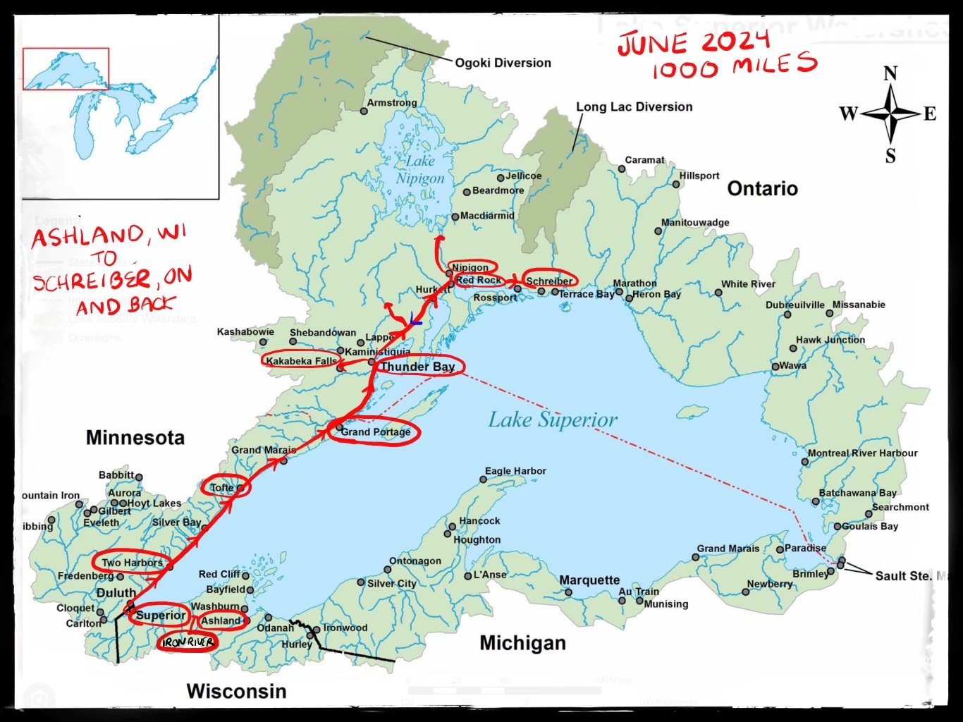
A map of our journey; Jenny and I originally intended to bike around Lake Superior. However, we were forced to stop at Schreiber, Ontario, and head back to Thunder Bay because Jenny had developed a bruised pubic bone from a seat that wasn’t working out (…a common problem for women who bicycle long distance). Jenny needed both rest and to change her saddle, an option about 150 miles to the west or 500 miles to the east. Chalk up our mistake to the unfortunate consequence of traveling on new bicycles we hadn't already subjected to challenging conditions. We write more about the new bikes below.
Intimacy with Nature. What does that feel like?
It can feel like a lot of things: the smell of soil after a hard rain, the shape of a hill you are trying to walk or bike up, the wind as you descend, the scream of a hawk, the song of a warbler, tall grass grazing your legs as you walk to the lakeshore. But even more central to our experience of nature is weather. That is all around us: it's visual, tactile, olfactory, auditory. Its coldness can give you energy and kill you, and its heat can make you tired and kill you. It can be so dry you can't stop craving liquid, your skin dries out and your lips crack and bleed, or so wet you forget to drink and you feel as though insects are crawling around your torso while your skin shrivels like a prune. Or you can feel the sublime relaxation and letting go into perfect conditions, neither too hot nor cold, too humid nor too dry, as light delights your eye and lulls you into momentary contentment.
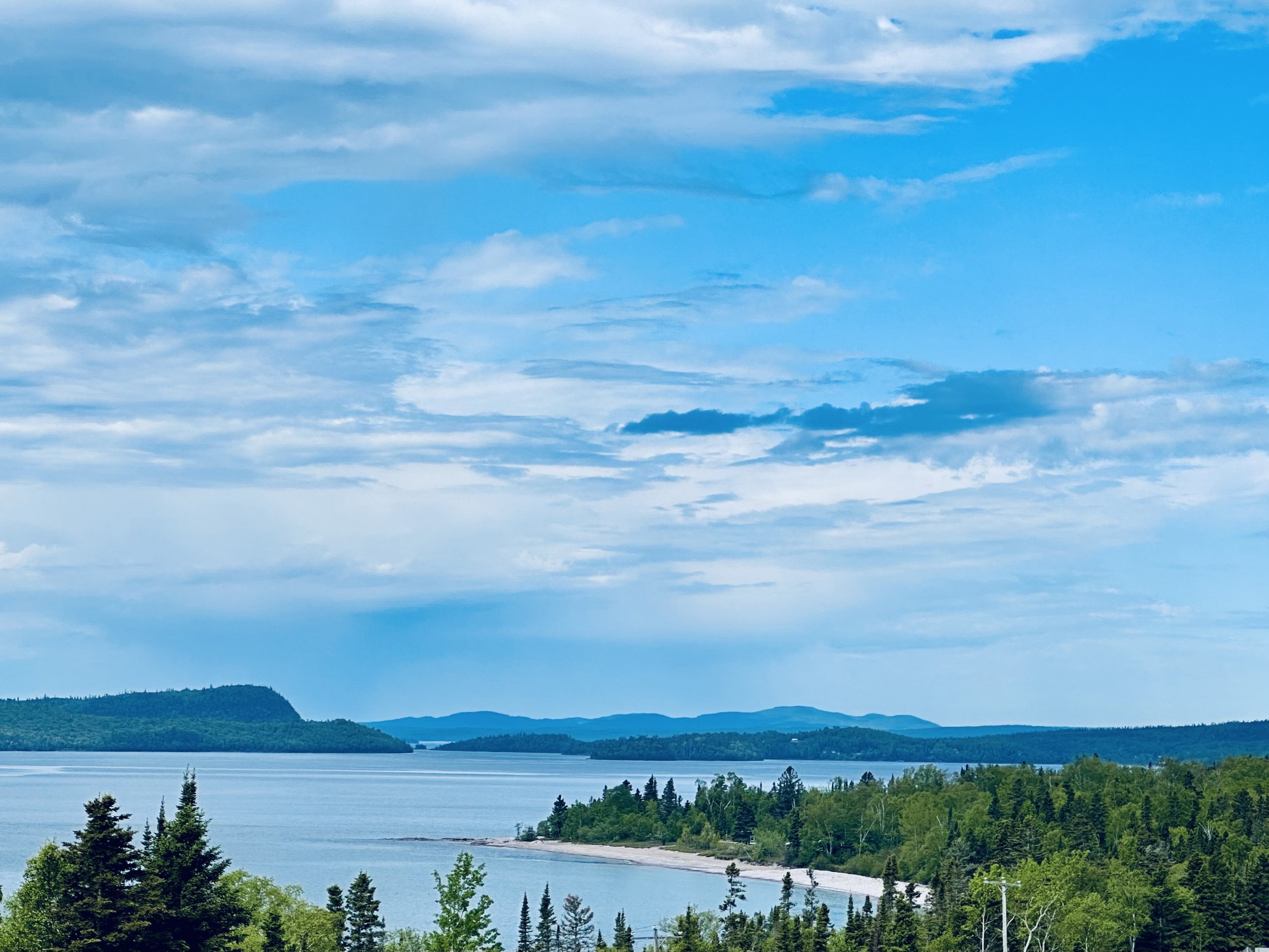
A view of Lake Superior near Rossport, north of Thunder Bay, Ontario.
Friend or foe, weather envelopes us. The experience of it is always intimate, making us feel many things, but above all, bringing us to right here, right now. And all other experiences flow from that. Think of a cherished outdoor memory, perhaps even an indoor one. As you reconstruct the memory, do you remember what the weather was like? Odds are very high that you do, and with considerable clarity. But weather is not climate. Weather just transpires, and it is the panorama behind all our experiences. Some psychologists and neuroscientists think that weather is the “skeleton of memory” because it is so fundamental to human experience.
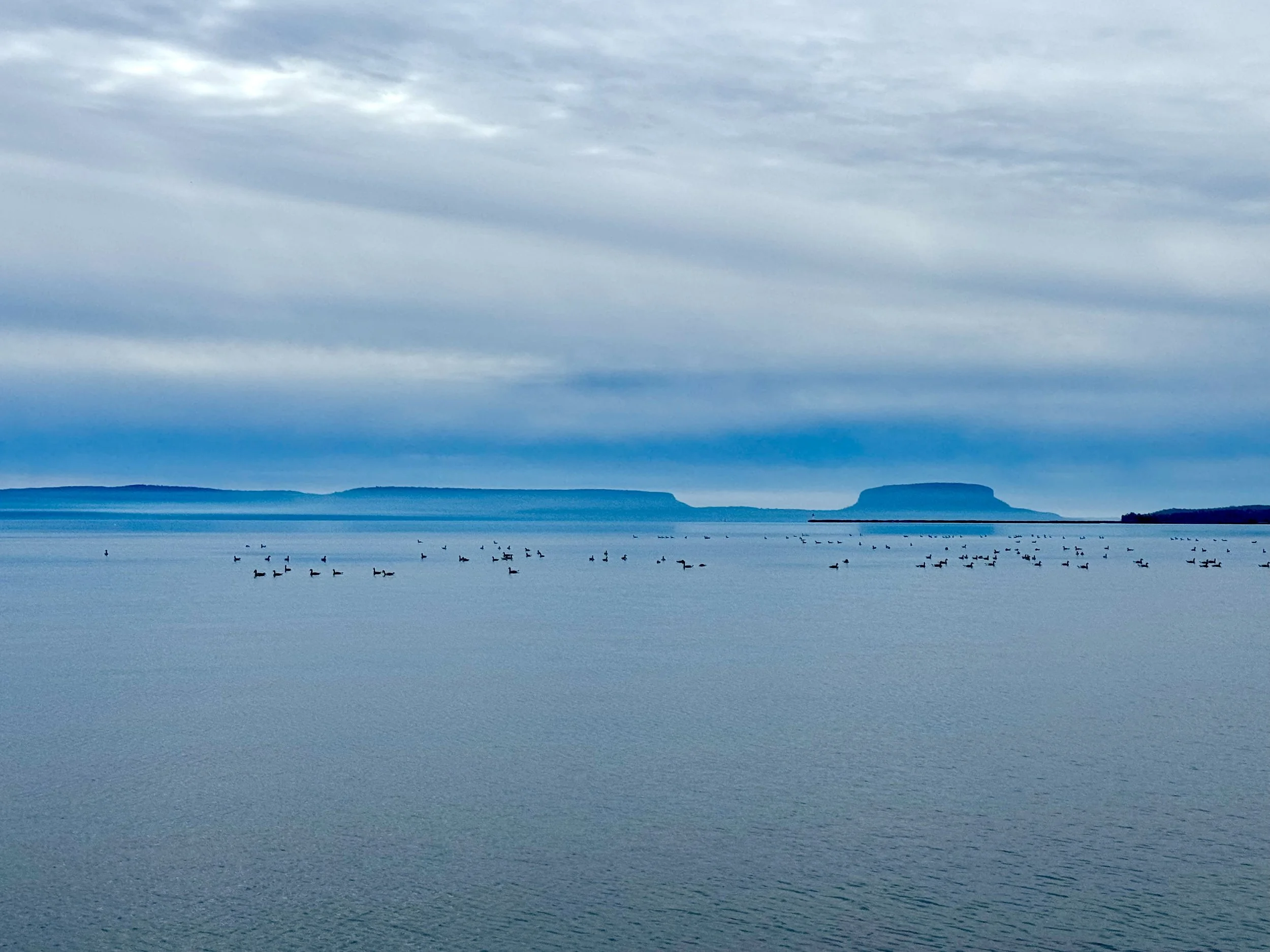
Canada Geese in the distance looking toward Pie Island from Mission Island just off Thunder Bay, Ontario.
Climate, in contrast, is a construct of the human mind. Climate is the measurement - or for most of humankind simply imperical evidence - of weather in a particular place over time. A mental model, climate represents how humans think something works in the real world. So a "dynamic mental model" of the climate involves imagining - or studying - how this complex system works, with many interrelated variables changing over time based on various forces and feedback loops. It's a way of visualizing and making sense of ever-shifting systems that have historically changed at a rate unnoticeable to most humans yet are now speeding up. Fast.
To test this out ask yourself, “How does the climate feel?” And then ask yourself, “How does the weather feel?” The latter question is definitely easier to answer. We feel the weather, we count on the climate. Or at least we used to. Now the climate is changing so fast we are much less able to predict it. And interestingly, losing our capacity to predict means we know less about the future because we can no longer rely on the past to be our guide. In a curious way, this is a kind of forgetting the future, almost as if climate change is giving us reverse amnesia.
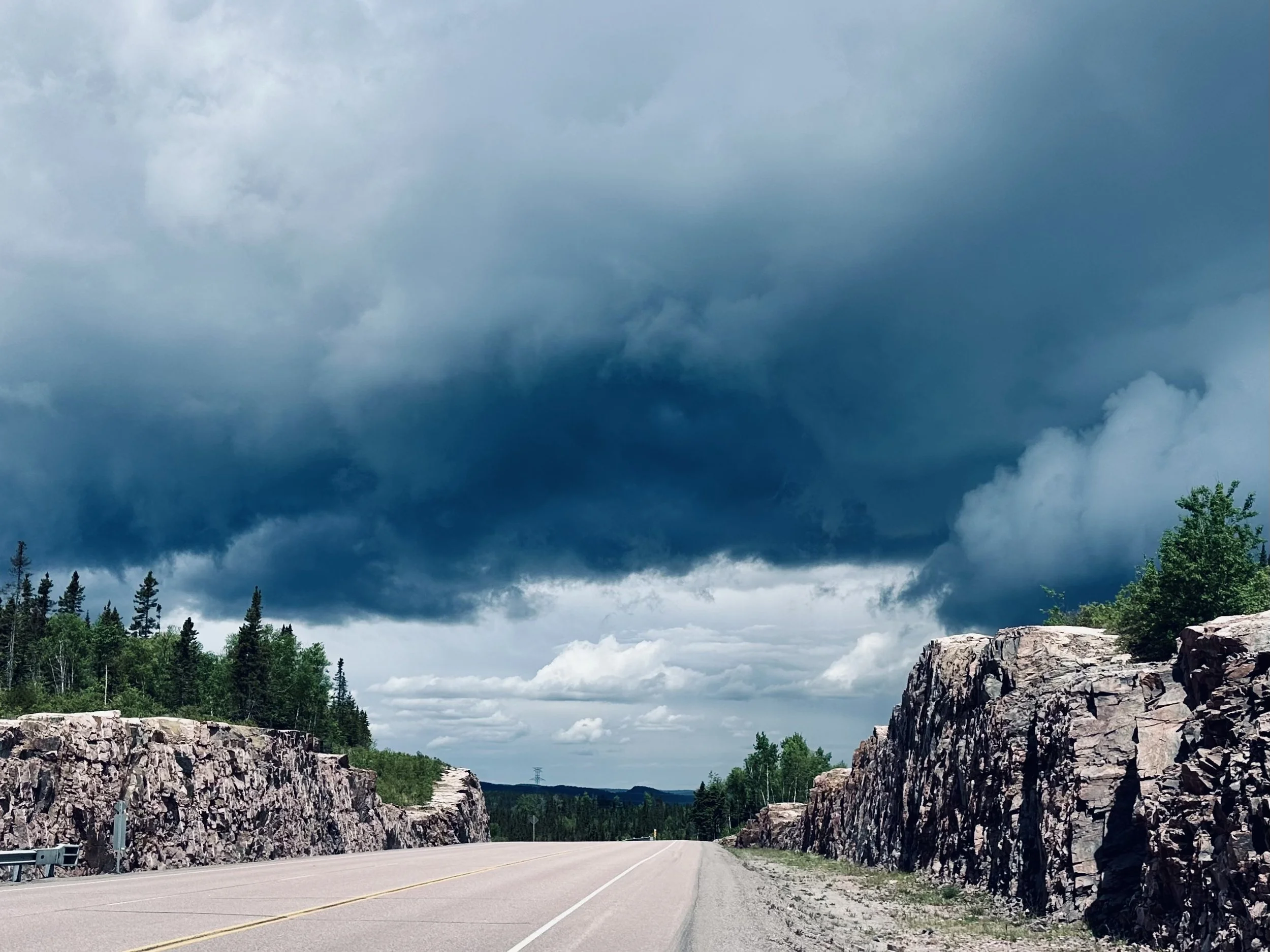
Storm clouds brewing on a summit on the iconic Trans-Canada Highway 17 approaching Schreiber, Ontario.
The Climate is like the stock market; it makes us happiest when it's predictable and very uncomfortable when it isn't. And it's becoming less and less predictable.
Even if you are lucky not to have noticed, hundreds of millions of people (including those who follow climate records) have been subjected to and astonished by a dizzying cascade of record-breaking temperature increases over the past year. Average global temperatures have hit unprecedented highs for the last 12 months, from April 2023 to April 2024. Then, to make it a baker’s dozen, May 2024 just concluded the warmest month in recorded history! And, if you’ve been paying attention, or you live in India (126F), Africa (Sudan, 122F), the Mideast (Kuwait: 128.5F, Iran: 159.3F, Saudi Arabia 111.2F), or North America (Mexico, 125.6F), and the American Southwest (122F), the Midwest (98F) or the Northeast (98F), you have good reason to believe that global temperaturesres for June are likely to eclipse May. Records are being broken not only for how hot it gets but for how long that heat endures. Already this year, India has experienced the country’s most prolonged hot spell on record, spanning 24 days in April and May. And Greece is currently in its third week of deadly heat, less than a year after experiencing a record-breaking 16-day heat wave. It’s not as if climate scientists didn’t see worsening impacts coming, but they are indeed surprised by their ferocity. And now, at 2.34F (1.3C) of total average warming beyond pre-industrial levels, we are being forced to reckon with a planetary climate system that is becoming increasingly turbulent, mercurial and downright dangerous.
Of course, there's only one way out: stop burning fossil fuels. (It's interesting to contemplate the inevitable time when the burning of fossil fuels for our energy needs will be a distant memory. But I'm getting ahead of myself…)
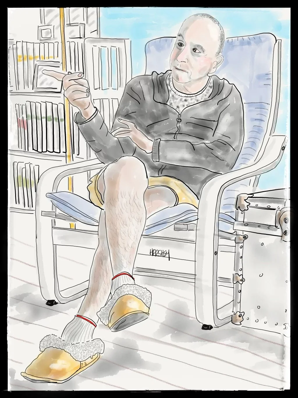
Jenny met Tim in Nipigon Bay, Ontario, as he loaded groceries onto his bicycle outside the only market in town. An avid cyclist and “Warmshowers Host,” Tim mentioned he was hosting a cyclist that evening who was halfway through a biking trip from Vancouver, BC, to St. Johns, Newfoundland (about 5,000 miles). “Maybe we wanted to come by and meet him”? Tim added that he had worked as a forest technician at Ontario’s Ministry of Natural Resources. Jenny eagerly accepted. We enjoyed meeting the cyclist Ben and were very impressed by his gentle determination. Clearly, he was going to make it all the way. And we were fascinated by Tim’s career. Except for a short stint in BC, Tim focused on Ontario forests for his entire career, designating, designing, and approving logging areas and procedures used by private companies to harvest timber. Interestingly, the Crown owns the land in Canada, and private companies lease land for resource extraction. Over the years, Tim has seen the weather change a great deal. Winters are increasingly shorter and dryer, summers are longer and hotter and vacillate between extreme dryness and wetness. Along with every other local we queried about the weather, Tim quickly mentioned that this past winter was the warmest he'd ever experienced. The only precipitation was rain. When the one snowstorm of the winter of 2024 finally came, it was mid-May, and the snow disappeared in a few days. Correspondingly, the ice pack on Lake Superior set a new record as the most diminished in recorded history.
Back to Lake Superior
I once took a road trip with my ex-wife from Denver to Toronto for a professional engagement. We drove the northern route around Lake Superior from Duluth through Thunder Bay, Nipigon, and down through Sault Ste. Marie to Toronto. My memories are very general, mainly limited to lovely or rainy weather and my fascination with the seemingly endless forest of what I thought were scrappy and smallish trees as a result of the harsh Ontario winters. (I have since learned that such characteristics can also come from logging practices, erosion snd slope orientations, and wind.) And strangely absent from my memories are the extraordinary hills on the Ontario side and the magnificent highland views along the north shore of the Trans-Canada Highway from Nipigon to Sault Ste. Marie.
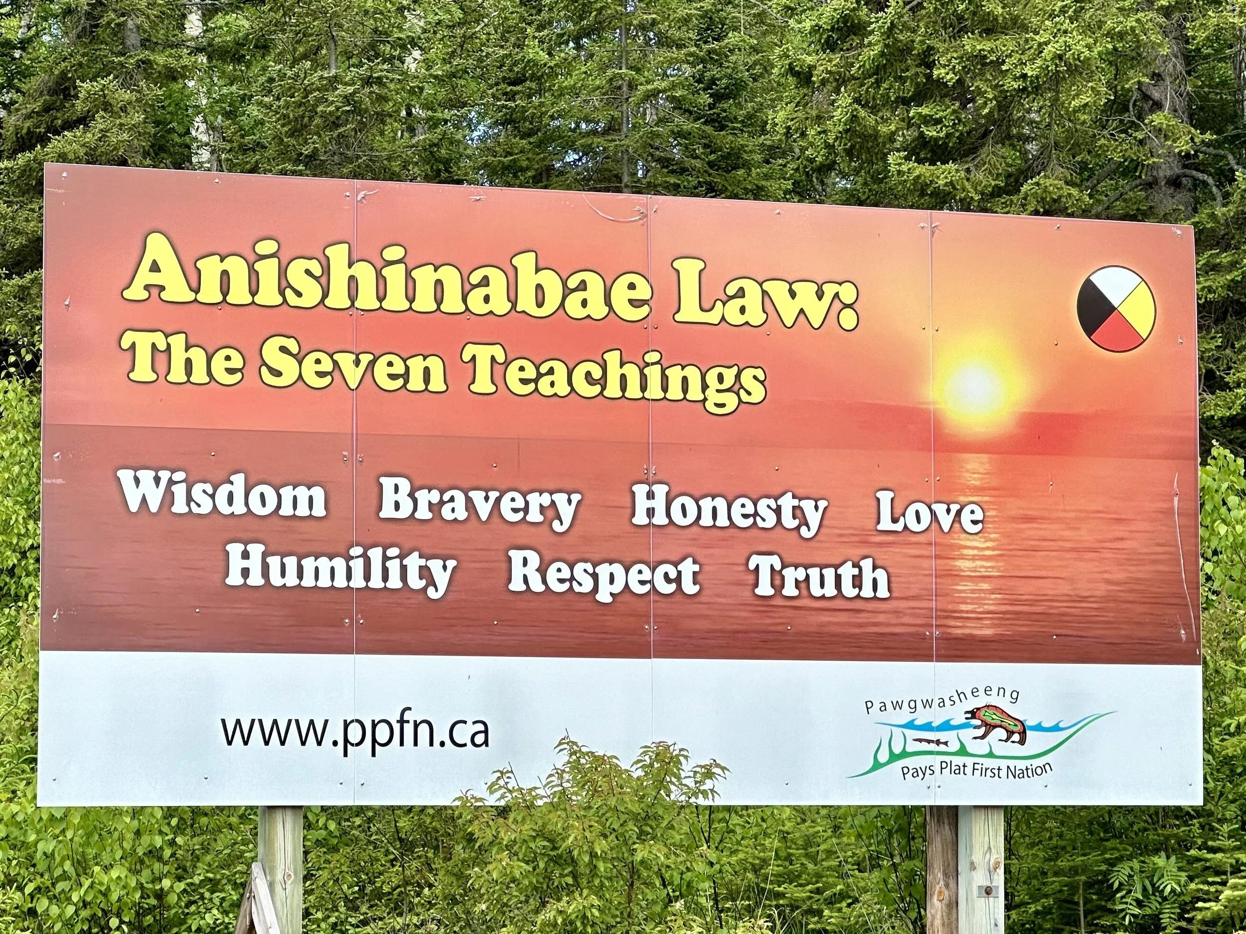
The Pays Plat First Nation, a small First Nation Ojibwe reserve community located in Canada near Rossport, Ontario, erected this sign. Anishinabae is an umbrella term that encompasses several tribes, including the Ojibwe, who have their own distinct identity within a larger group. This is the same clan that lives on the Grand Portage Reservation in Minnesota. Like many Indigenous people in other countries, the national boundaries of Canada and the United States were formed with little regard for their regional homeland.
This biking trip, in contrast, has offered Jenny and me a very intimate experience of this region. Traveling along Lake Superior on a bicycle has deepened our understanding of the landscape and its inhabitants far more deeply than driving through it ever could. After years of long-distance bicycle riding, I've come to believe that our relationship with place becomes less intimate the more hermetically protected we are from the weather. And, as exciting and useful as speeding up can be, traveling faster than human senses can assimilate results in a shallower experience of our environment. In other words, the faster we go, the less we experience. The same might be said for life in general.
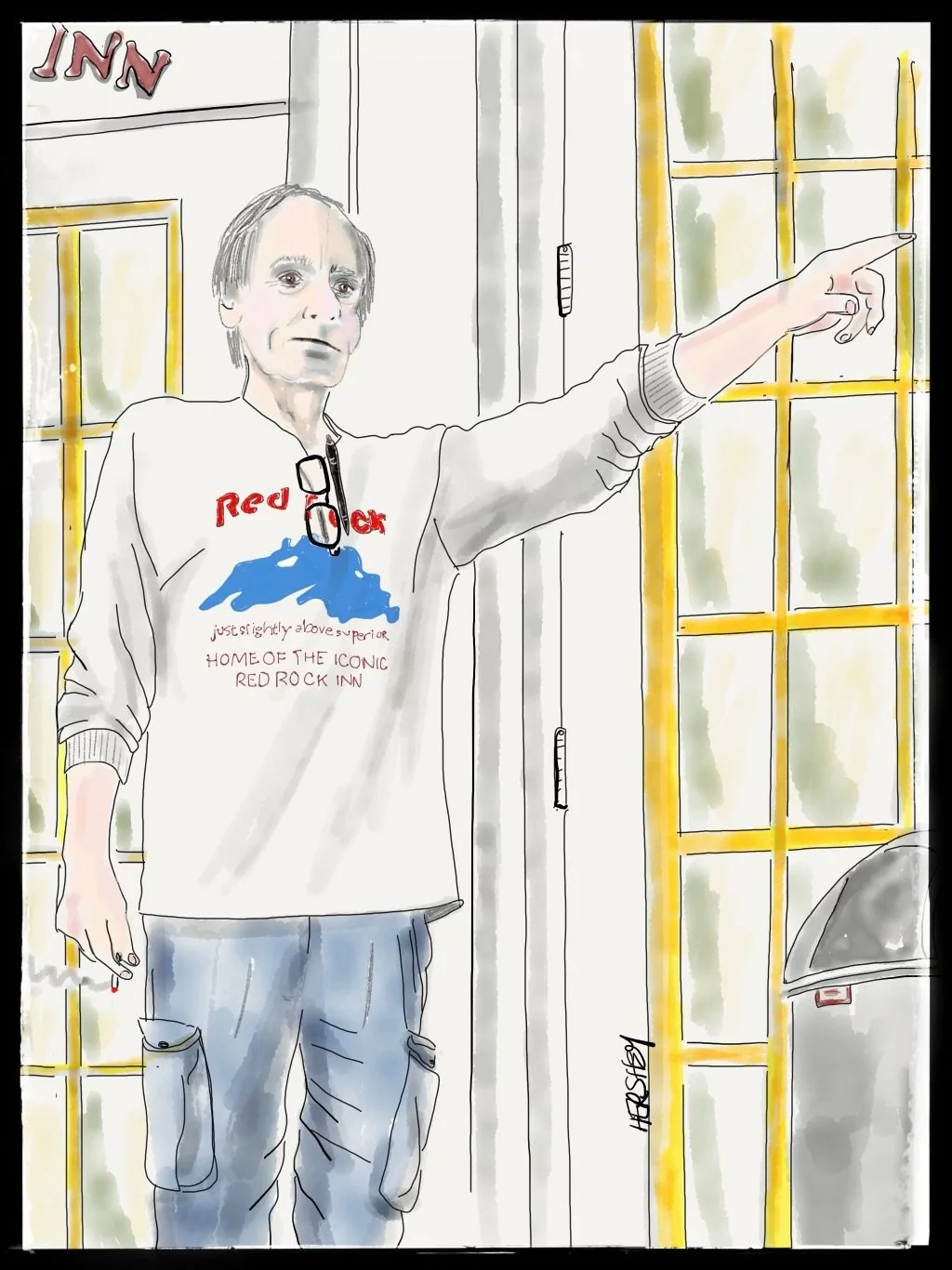
About 60 miles northeast of Thunder Bay, on our way to Schreiber, Ontario, we rode into Red Rock, a lovely small fishing village on Nipigon Bay facing three small islands. Looking for a grocery store and lodging, we found ourselves at the Red Rock Inn, an old hotel built in the 1930s. The proprietor, Don, was raised down the street, and as a child he and his family lived in the Inn for a while. While living there, Don discovered an extensive library of Hardy Boy novels that he read voraciously. Today, on the bedside tables in every room is a Hardy Boys novel and, as Don says, “To be politically correct,” a Nancy Drew novel as well. Don moved away from Red Rock when he went to college and spent the next 40 years in the States, building multiple yacht dealerships on the Gulf Coast, primarily in Florida. Then, about nine years ago, he sold his businesses, moved back home, and took on the challenge of bringing the Red Rock Inn back to life. The place is chock full of memorabilia, antiques, and much artwork (Don’s mother and his second wife were artists, and many of their works are on display). There is also a surprising number of paintings by the Group of Seven, once known as the Algonquin School, a group of Canadian landscape painters from 1920 to 1933 with similar visions. Believing that a distinct Canadian art could be developed through direct contact with nature, the Group of Seven is best known for its paintings inspired by the Canadian landscape. When we asked Don if he had noticed any differences in the weather over the years, he responded, “Of course, winters used to be much more intense and lasted much longer. And there was no snow last winter until one small storm in May! And I could see open water out there.” Don gestured toward Lake Superior, “Our weather is really crazy now.”
The Winters are Warmer
Minnesota is famously known as the land of 10,000 lakes, but it actually has 11,842 lakes that are at least 10 acres or larger. Michigan (which we didn't visit this trip because of our change in plans) is equally known for its abundance of lakes, with approximately 11,000 inland lakes and 3,288 miles of lake shoreline (eclipsed in the US only by Alaska). Ontario, in contrast, contains an even more impressive number of lakes - over 250,000 - that collectively account for about 20% of the world’s freshwater supply. Tragically, every one of these lakes is experiencing shorter winters with accelerating losses of ice cover, a trend that has gained speed over the past few decades. Ice duration on the Great Lakes alone has declined by 31 days on average since weather records began around 1865, while ice cover on Lake Superior has decreased by a factor of six over the past 25 years. More than 15,000 lakes in the Northern Hemisphere that historically have frozen every winter for as long as can be remembered now experience ice-free winters. This trend in ice loss is forecasted to continue, and scientists estimate that the remaining lakes with ice cover will lose an additional 10 to 40 days over the next decade alone, yet another manifestation of our rapidly changing climate.
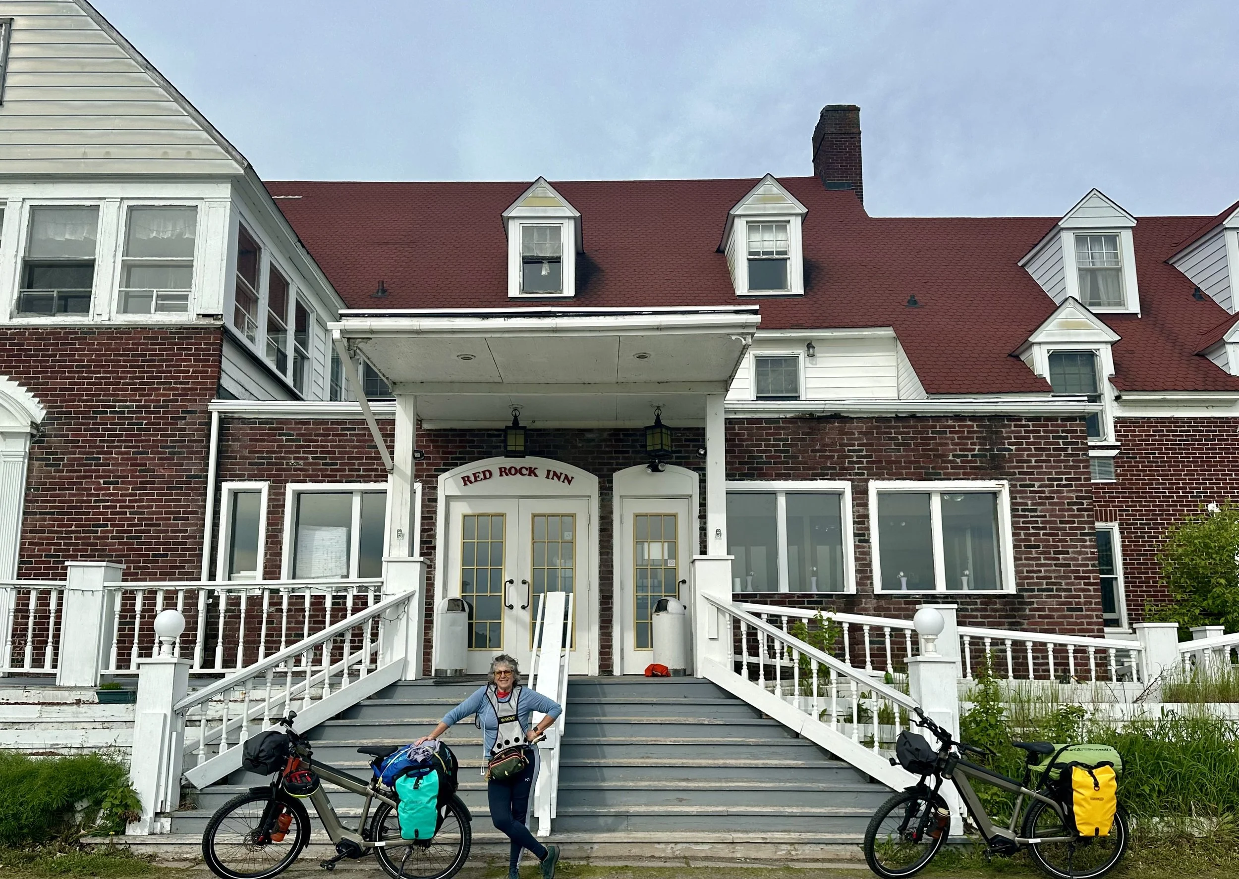
Jenny stands by her bicycle in front of the Red Rock Inn. Somewhat frozen in time, this hotel reminded us of a benign cousin of the Overlook Hotel in “The Shining.”
The Water is Warmer
The loss of ice on the many lakes in the Great Lakes region is far from the only result of global warming. Like our oceans, increasing atmospheric temperatures drive the average temperature of inland lakes upward. Lake Superior is among the world's fastest-warming freshwater bodies. Below are some average yearly temperatures for the lake:
1910, 39F
1950, 41F
1990, 43F
2020, 57F
Note the rate of increase in average water temperature from the 30 years from 1990 to 2020 is significantly steeper than any 40 years prior! Lake Superior has long enjoyed a reputation for its unspoiled water, but that is diminishing as the decades progress. Although algae blooms were non-existent on Lake Superior a century ago, increases in average water temperatures are now creating fertile conditions for their growth. Unlike Lake Erie and Green Bay in Lake Michigan - warmer, shallower, and surrounded by sources of agricultural runoff - Lake Superior has remained cold, deep, and nutrient-poor until recent decades. However, algae blooms have now appeared on the lake in a recreational stretch from Duluth to the Apostle Islands. Because there is neither significant nitrogen pollution from agriculture nor significant urbanization, these blooms are driven by increasingly warmer water temperatures. Among undesirable impacts on recreational activity, such blooms deplete oxygen and create toxins that are harmful to fish, other aquatic life, and humans. They are not a good sign for things to come.
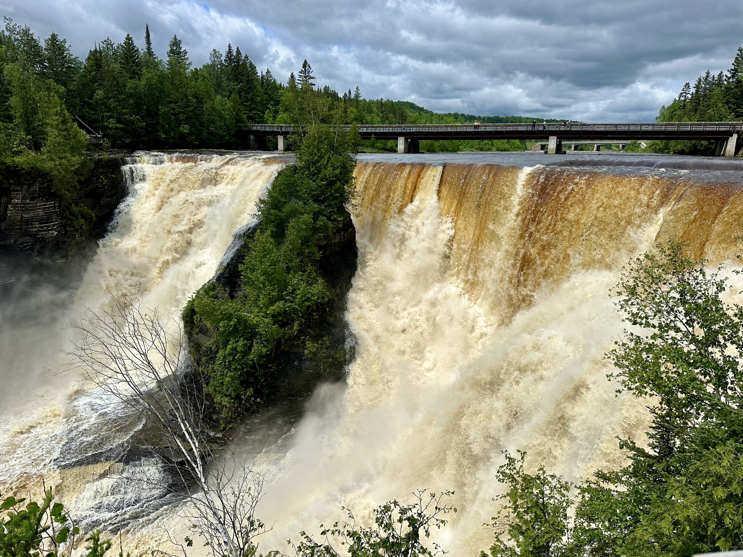
The Kakabeka Falls on the Kaministiquia River, about 20 miles west of Thunder Bay, is the second-highest waterfall in Ontario. With a drop of 150 feet, the falls have carved out a deep gorge over millions of years. The falls are also famous for the Ojibwe legend of Green Mantle, a Chief's daughter who sacrificed herself to save her people. When an Ojibwe chief learned of an impending attack from the Sioux tribe, he asked his daughter, Princess Green Mantle, for help. She went to the Sioux camp, pretending to be lost, and offered to lead them to her father’s camp in exchange for her life. However, instead of leading them to safety, she guided the Sioux warriors over Kakabeka Falls, where they met their demise, as did Green Mantle. Legend has it that the mist of the falls is Green Mantle’s spirit, a testament to her selfless act.
Whether you believe it or not, our atmosphere is warming up, fast.
So what hope is there? Have we passed the point of no return where our climate will spin out of control no matter what we do? Many people think not. If you are hard-headed enough to accept reality (unlike those who buy into fossil fuel propaganda and either deny climate change outright or minimize what science is telling us), you must learn to hold two competing truths in your mind simultaneously. One is that our situation is difficult and we are going to suffer losses and disruptions. The other is that things are changing rapidly for the better and we have significant reason to believe that we can slow down, and ultimately stop, the climate crisis.
Sunny Skies Ahead For Clean Energy?
At the same time climate change is accelerating, so is the global transition to clean energy. A recent report by the International Energy Agency (IEA), a globally focused non-partisan energy security NGO led by 31 countries, indicates that the world’s economies have shifted away capital investments in fossil fuel energy to clean energy sources by a factor of two in about ten years. Investments in fossil fuel projects will soon be in our rearview mirror, and it seems that before long they will be a dust trail.
All signs are that clean energy funding worldwide will go above the $2 trillion mark for the first time before this year ends, an amount greater than the GDP for all but 10 countries. In the US alone, clean energy spending is predicted to increase to $315 billion, compared to $280 billion in 2023. Much of the investment comes from the 2021 bipartisan infrastructure bill and the 2022 Inflation Reduction Act. In spite of right wing media hype, capital investments in clean energy are likely to remain robust in Red States because the geography of these states is more conducive to the production of wind and solar power.
Globally, clean energy costs are plummeting. Renewable energy investments now go more than twice as far in terms of energy output than a decade ago, plus clean energy investment has gotten a boost from the growing number of countries that have adopted emissions reductions goals in recent years. Most investment is currently flowing to solar projects, which are projected to attract more clean energy investment than all other power generation sources combined in 2024, including fossil fuels. The rise of solar power has also sparked significant additional investment in energy storage and grid capacity worldwide. Battery storage alone is expected to exceed $50 billion in investments this year, more than double what was spent in 2022.
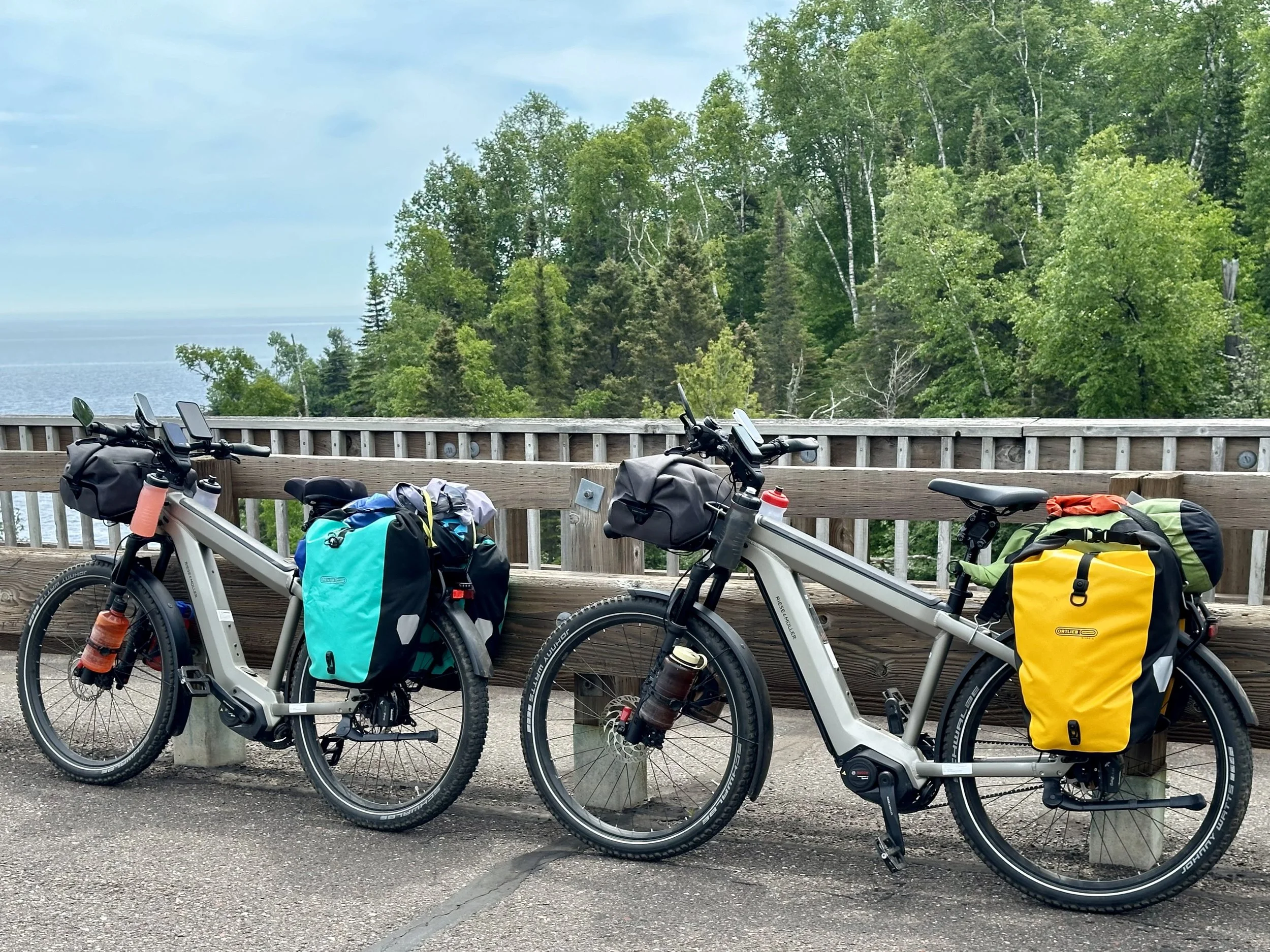
Our new bikes, fully loaded with our gear. We are proud to be pioneering long-distance travel on e-bikes. Since my first two cross-country biking trips were on a traditional road bike, I can speak to the pros and cons of electric pedal-assist bikes. One can get quite a workout (and increase one's range considerably), and one can be pretty lazy for shorter distances. There are e-bikes with throttles that can be ridden without pedaling, but one’s range is limited. Besides, why lose the workout? These bikes were manufactured by the German company Reise and Muller and feature Bosch motors, the major supplier of electric motors to Merdedes Benz. Although somewhat challenging to find in the States, we obtained our Reise and Muller bicycles through a bike store in Brooklyn called Propel Bikes. We like them a lot!
A few afternoon thunderstorms
Yet, there are some storm clouds ahead for global clean energy investment. While the record-high investment is a promising sign for the future of clean energy, spending is not distributed equally. Most of the investment is in China, the United States, and the European Union while developing economies make up only about 15% of this spending. This must shift to successfully transition the world from fossil fuels fast enough to meet global climate goals. Total investment in clean energy not only needs to double by 2030 to meet COP28 goals, it needs to quadruple in developing economies. But overall, the news is good. Capitalism is finally turning away from fossil fuels and toward a more livable future.
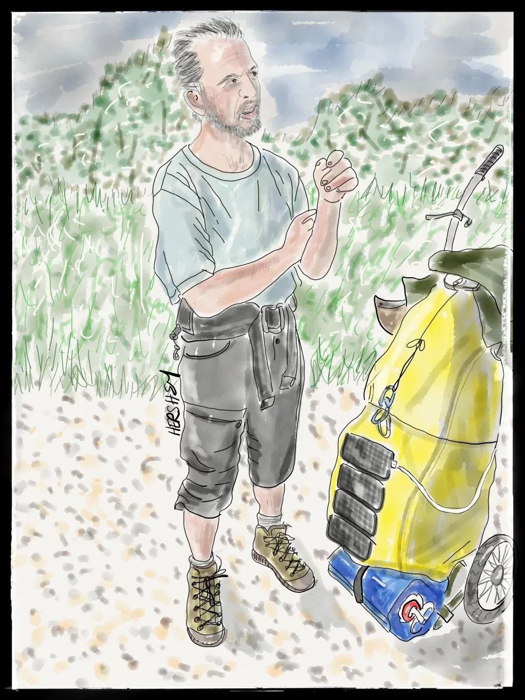
We ran into Gary Grono on highway 17 between Red Rock and Thunder Bay. We were biking south, and he was WALKING north. He was an odd site, walking against the traffic on the Trans-Canada highway (in a new section that is a four-lane freeway), pulling a two-wheeled cart with handles behind him. Gary was in his 81st day of a trek across Canada from Victoria, British Columbia, to St Johns, Newfoundland (almost 5000 miles), and is raising money for the Andean Institute, an organization in Maras, Peru, that “builds community and supports Andean culture”. Gary was affable and talkative, so we shared war stories about our travels. Many of Gary’s stories seemed more intense than ours. Jenny had gotten a tick bite earlier on this trip (not her first time) and took doxycycline immediately as a preventative measure. Gary, on the other hand, told us a harrowing tale about being attacked in the evening as the sun was setting by an army of ticks that got into his tent and infiltrated his clothing and sleeping bag. Several weeks later after discovering a tick that had made himself at home, Gary found an urgent care clinic and started a strong regimen of antibiotics. We were impressed with Gary’s commitment and resilience. He camps most nights, and only occasionally stops at a motel to wash his clothes, shower, and sleep in the comfort of a bed. He loved our bicycles and our rigs, calling them a luxury set up. We were amused; our perspective is that we are spartan in what we carry. We learned that Gary had little power left on his phone because he only uses a solar panel mounted on the back of his hiking trailer. Because it had been overcast and rainy for two days, Jenny offered him the temporary use of a portable battery to give his phone a boost. Gary hopes to meet his wife, Wendy, in Newfoundland in September. We had already been thinking about biking in Newfoundland in September so we hope to meet them both in the future. With Jenny’s help, Gary was finally able to charge his phone enough to communicate with his daughters, who manage his Facebook page. You can find him at @Gary Grono.
Postscript
I have written every post on an iPhone since I began this blog site in 2017 (some 125+ posts ago). On a bicycle, weight and packing volume matter, so I shipped my laptop home early on my first cross-country trip. It’s slow, painstaking work to write on an iPhone, but I’ve grown used to it, and, to my surprise have come to prefer it.
Some months ago, the platform I used to host this blog site (Squarespace) released a new mobile editor. It is much simpler than its older editor; I like it except for one feature - it doesn’t contain the capacity to create links. As you may know, I am not a fan of misinformation. In my last post, I used the regular Squarespace editor through a website as a workaround to create links to my sources. But on this trip, I discovered that capability had also been removed. I’m shocked Squarespace’s programmers would do this; about half the world has computing abilities on a smartphone ONLY. Linking is ubiquitous in email, so why remove it from a blog site? I may be forced to leave Squarespace, but I cannot evaluate that now while biking. I accepted the situation a few weeks ago and decided my writing might improve by embracing this limitation. For some time, I have wanted my non-fiction writing to be less academic and more vivid. I’d be very grateful for any thoughts you, dear reader, might have. Do you miss the links? I’d appreciate hearing your thoughts by email or in the comments section at the end of this post.
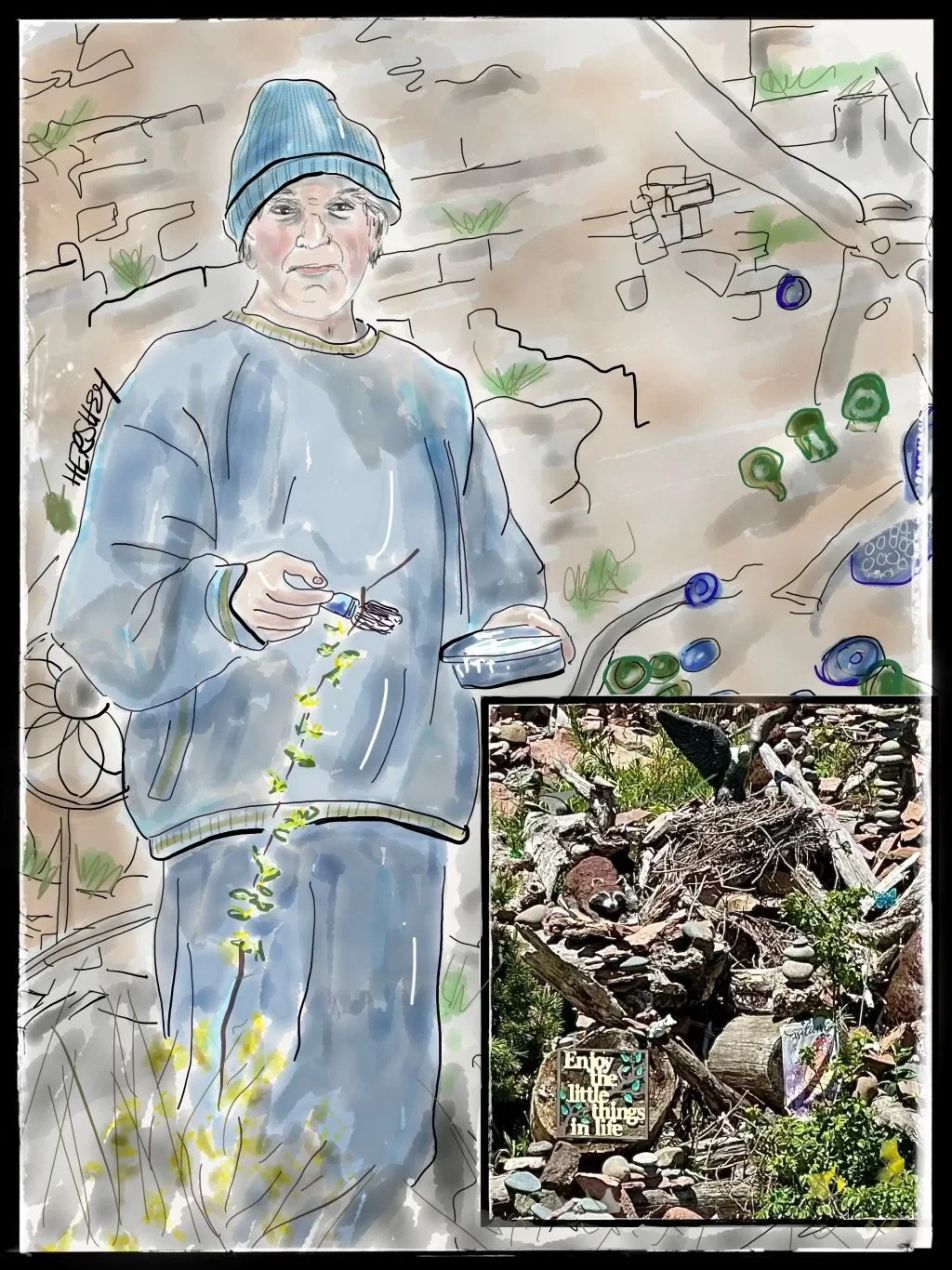
We met Chuck in Covill, about 20 miles northeast of Grand Marais, Minnesota. Like so many others who pass by, we couldn't help but notice the massive driftwood, rock, glass, primitive art, and random sculptures covering more than 200 feet in front of his home on Lake Superior (see inset picture). It’s taken Chuck 14 years to create this extraordinarily witty and ornate tribute to veterans, nature, and the human spirit. We were lucky enough to find Chuck outside, touching up some of his work with paint. Jenny asked Chuck, “Why the military references?” and he answered, “Its out of respect for my daughter and father who both served.” Jenny then asked, “Where does all the driftwood came from?” Chuck explained the lake washes up the driftwood in huge waves during big storms. We later learned that Chuck’s last name is Wiger, and he has been a Minnesota State Senator since 1997 for District 43 in the northeastern Twin Cities metro area. Chuck, a Democrat, has fought long and hard for clean energy, equal access to education for all and safer work conditions for healthcare workers. We were deeply touched by learning about the many sides of this kind, highly creative and compassionate man
Stay vigilant! Thanks for reading. If you haven’t done so, please subscribe to this blog to follow our next biking trip.
Blog writing by Michael Chase. Drawings by Jenny Hershey. Unless otherwise noted, all material is the copyrighted property of the blog post authors.
Jennifer Hershey’s drawings can be enjoyed on Instagram @deeofo.
Fear and Reality; Biking from Mississippi to Savannah
Writing by Michael Chase, Drawings by Jenny Hershey
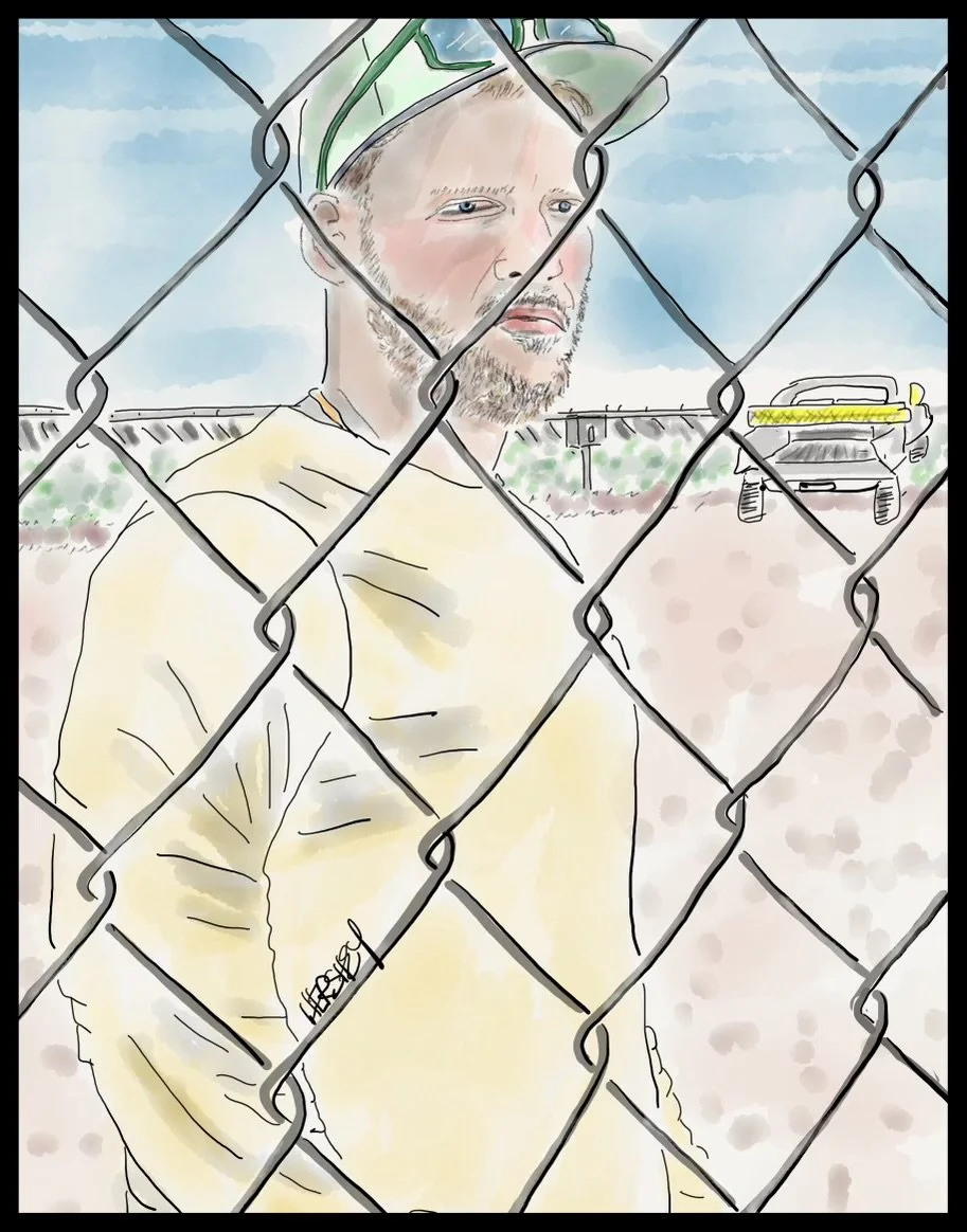
We met Louis, an electrical contractor from Miami, at the NextEra Energy Resources solar farm just south of Bainbridge, Georgia. Louis works for Moss Construction, and he travels all over the south installing and solar facilities. Louis approached us cautiously at a chain-link fence. He thought we stopped to complain because so many other locals have. The installation generates 350 MW per day (enough to power an average of 136,000 homes).“People just don’t like change,” he said to us, “Even when we hire local people to work alongside us, they just don’t like change.” But we were delighted to see such an enormous solar farm. We learned later the biggest fear overwhelming Bainbridge is the proposed construction of a facility to breed 30,000 research monkeys for lab research. “STOP THE MONKEYS” signs were everywhere. Locals are worried that fecal and urine waste from the monkeys will negatively impact the local water supply. Drawing by Jenny Hershey. Follow her on instagram @deeofo.
“When it comes down to it, doomsday attitudes are often no better than denial.”
Hannah Ritchie, from Not the End of the World; How We Can Be the First Generation to Build a Sustainable Planet
“Put simply, there are many reasons to fear … fear.”
Christopher Bader, from Fear Itself; the Causes and Consequences of Fear in America
Our train was delayed leaving the Birmingham station for over an hour because of a derailed oil tanker car on the Amtrak line. Trains can be relaxing so the delay wasn’t too bothersome to me or Jenny until we realized we were likely to arrive in Meridian, Mississippi, at just around sundown. We didn’t like that at all; it would force us to bike in the dark through a busy industrial section of town, and cross several bridges to get to a supermarket before descending a curvy, pothole-filled highway passing under Interstate 20 to get to our motel.
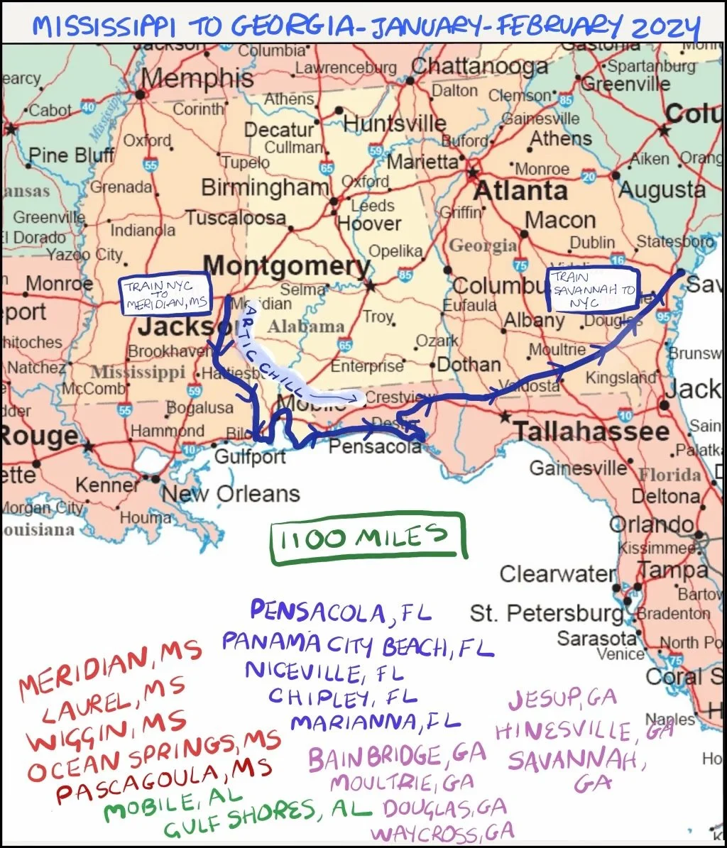
This is our route as we bicycled from Meridian to Savannah. Drawing by Jenny Hershey. Follow her on instagram @deeofo.
As the train pulled in, we could see Bunky, the stationmaster at Meridian, waiting. Jenny and I said our goodbyes to the train steward Darian, jumped off the train and unloaded our gear on the platform. I walked toward the luggage car to retrieve our bicycles while Jenny caught up with Bunky. We had met Bunky on a previous trip to Meridian, and you can find a drawing and a bit about him in a previous post here. Just as before, he was warm and helpful. In no time we were conversing like old friends while we loaded our gear onto our bikes. Clearly, Bunky enjoys folks who ride bikes in unexpected places, just as we respect his loyalty to Meridian, and loved his wonderful stories.
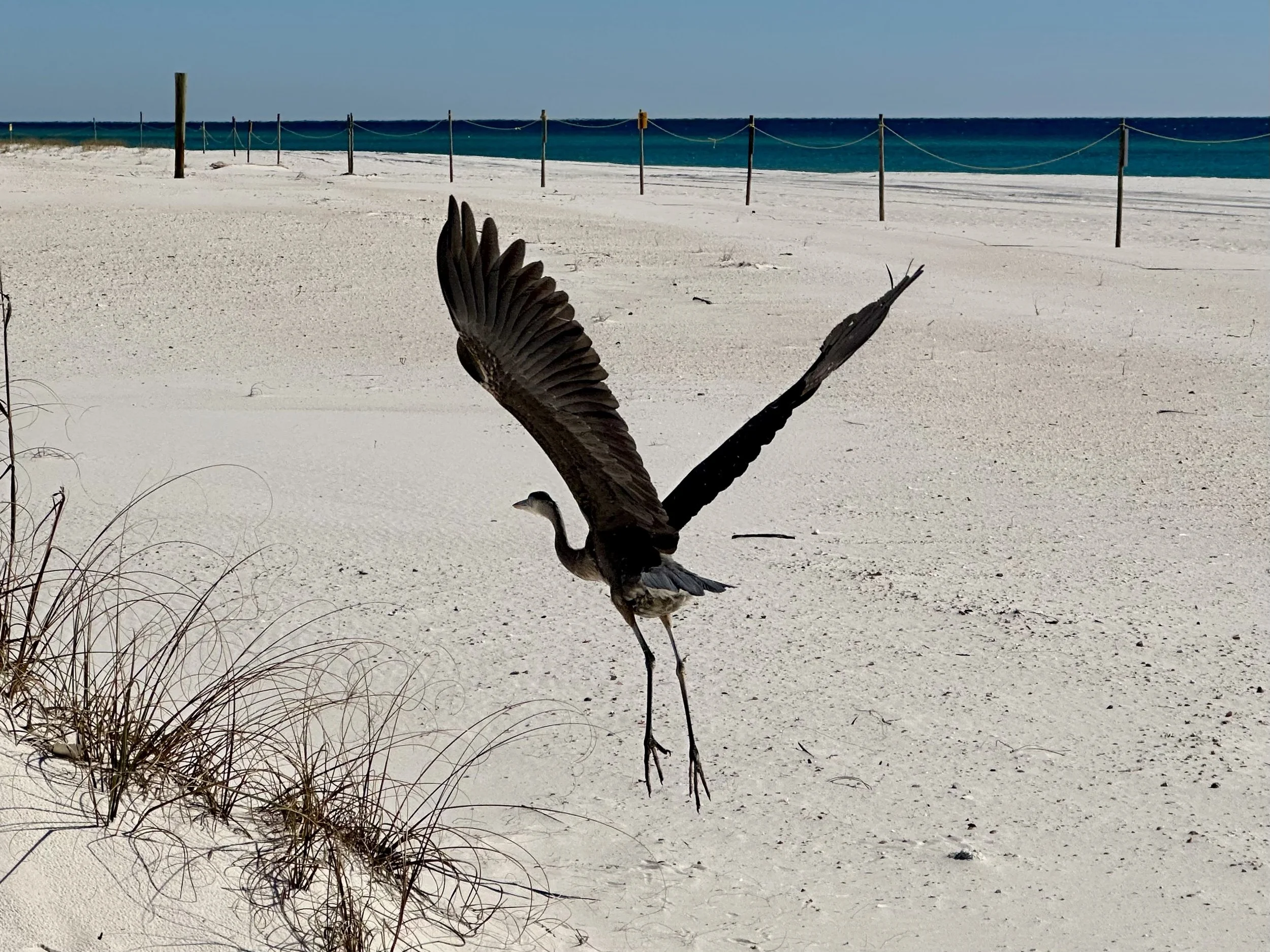
As cold as it was during the first week of our trip, we layered up with almost all our clothing, and pushed on. We saw this lonely crane at Alabama Point near Perdido Bay east of Mobile on a secluded beach. Photo by Michael Chase. Follow him on Instagram @mjohnsonchase.
We said goodbye to Bunky just as the sun disappeared beyond the horizon. There was a cold breeze as we biked past dimly lit and abandoned factories, parking lots, rode over several railroad bridges and a took a steep downhill run almost to the freeway where the Cost Saver is, nestled well off the road behind a large empty parking lot. We got off our bikes, and I stayed behind to watch over them. On the way in, Jenny was told to leave her backpack behind. I looked up, and saw a pudgy and disheveled young man with a gun in a holster on his hip. Jenny said, “Ok”, while I blurted out, “Who are you?” He answered, “Security. Too many people shoplift here.” Another young man was standing nearby, and he lifted up a clear plastic see-through backpack and said, “I work here, but it’s ok for me to go inside with this because they can see what’s inside.”
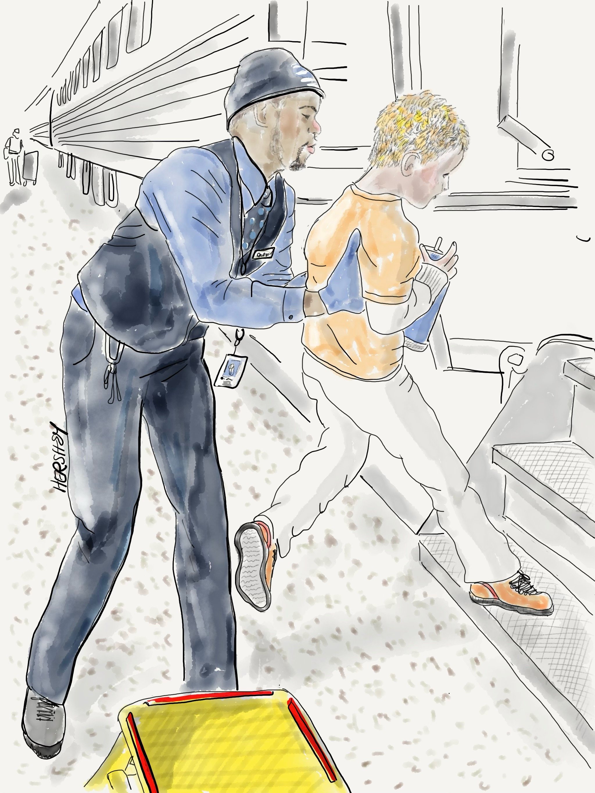
We met Darian, a steward on the Amtrak Crescent that travels between New York City and New Orleans. At each stop we observed him helping older folks off the train by offering his shoulder, and also gently lifting small children onto the train. Darian loves his job, and he’s also passionate about being a real estate agent and part-time actor in New Orleans. Both Jenny and I agreed he would make a great spokesperson for Amtrak. Drawing by Jenny Hershey. Follow her on Instagram @deeofo.
Jenny handed me her backpack and entered the store. “Do you know it’s gonna get real cold in a few days?” asked the man with the backpack. “Yes,” I responded. “Are you ready for it?” He didn’t answer, but the security officer patted his gun and said, “Yea, I got this.” … I was puzzling that out just as Jenny returned. We already knew a very large and intense polar vortex was coming (we had read about it on the train), but neither of us knew how it was going to affect our bike trip. We packed up our groceries and left the store, and finally managed to check into the motel, feeling relieved to be there and excited to be starting a new adventure. Yet, we were not at all certain how we were going to manage the extremely cold and wintry weather heading our way.
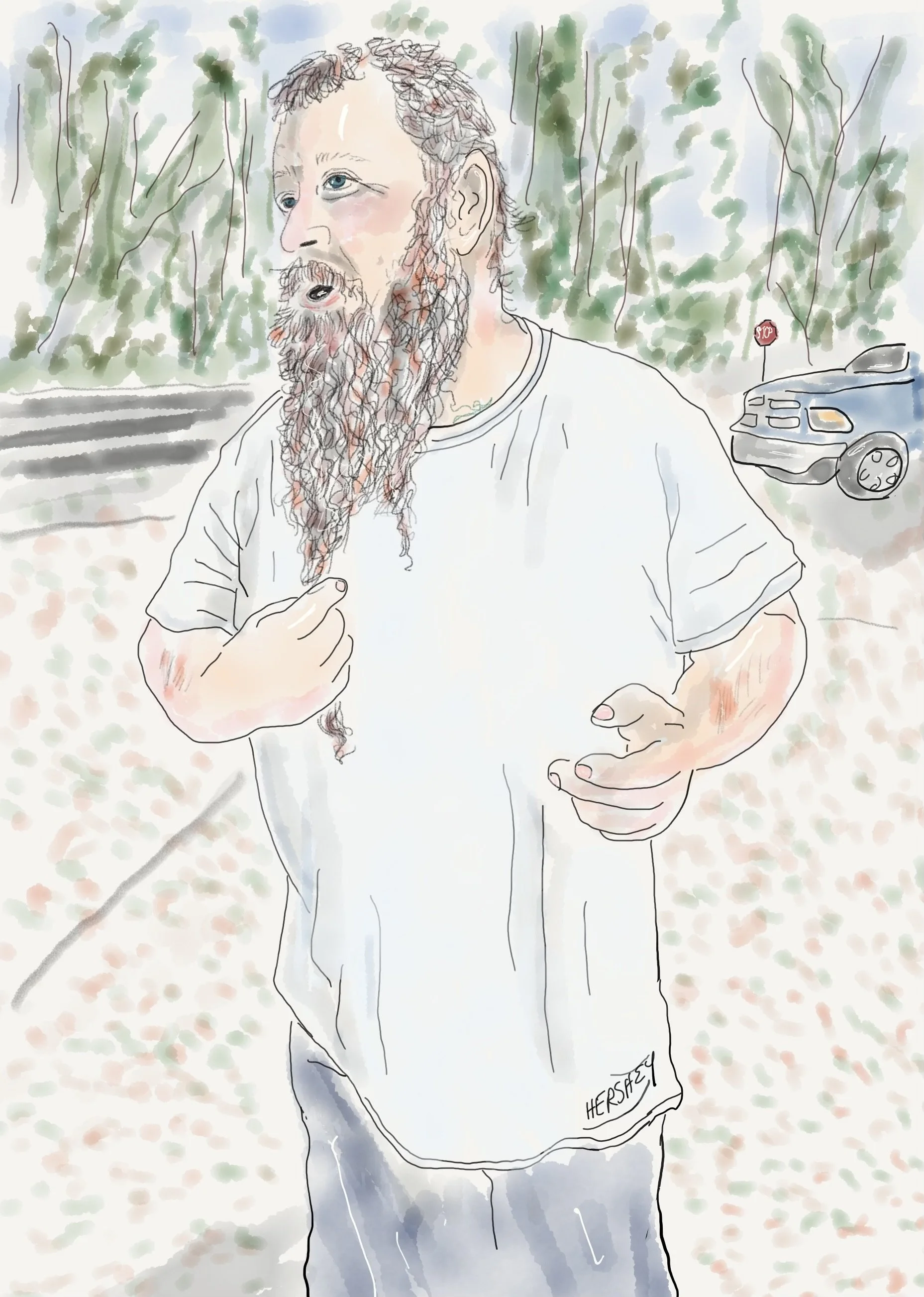
We met Louis outside Ellisville, Mississippi, as we were adjusting our gear at an abandoned gas station. Louis was driving by, and made a sudden u-turn, pulled into the station and jumped out of his truck. We didn’t have time to react before he asked in a booming voice, “You got a weapon?” “A weapon?” Jenny replied, “We’re from New York City. We don’t carry weapons. Do we need them here?” Louis shrugged, and walked back to his pickup, bringing back a box cutter. He handed it to me, and I almost took it, but then I said, “I have a knife in my gear (I did, although it would take me about 10 minutes to find it), so I don’t need that. But thanks!” We fell into chatting, learning that Louis had lived his whole life in Mississippi except for one week in Missouri and he came back because he was homesick. Jenny admired Louis’s beard. He told us he grew it for his sister-in-law who makes wigs for kids with cancer. He cuts it for her every three years. “My beard is coarse so it makes great wigs for black kids. Here, feel it.” Jenny did. Then he touched his head, “My hair up top is softer. It’s for the white kids.” As we finished talking, Louis reached out and hugged Jenny, and waved me over to share a group hug (to our complete surprise) before he jumped back in his truck and drove away. Drawing by Jenny Hershey. Follow her on Instagram @deeofo
According to a recent article in Scientific American, the cold snap that hit the US was one of the most impressive Arctic outbreaks of this century, bringing deadly cold to 231 million people. It was caused by a polar vortex, a high-altitude swirl of counter-clockwise flowing winds that usually keeps cold air trapped in the Arctic. As the atmosphere heats up, the polar winds become disrupted and they slow down, causing their oscillations to increase. Think of how a spinning top becomes wobblier as it loses speed. The polar jet stream becomes wobblier and the polar vortex is increasingly likely to dip southward. The vortex this past January was highly unusual in both depth and width, covering almost all of the United States in one fell swoop. Don't forget that 2023 was the hottest year on record, and the Arctic is warming up four times faster than the rest of the planet. Because we are in an El Niño cycle, next year could be even hotter which, counterintuitively, may make polar vortexes even more extreme.
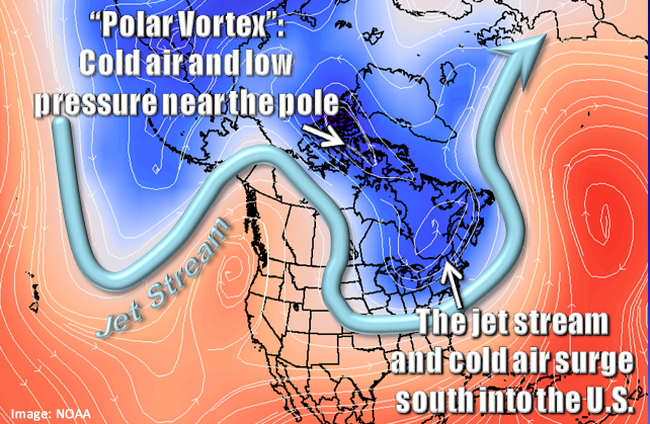
The January, 2024, vortex was deeper and wider than this image indicates. Image courtesy of weather.gov and NOAA.
As a result, Jenny and I are more vigilant about checking weather patterns and planning for unusual events on our cycling trips. Interestingly, weather challenges only add to the fascination of our trips. Sometimes extreme weather becomes the climate story itself, eclipsing what we learn about liquified natural gas export terminals, sacrifice zones, local pollution issues and poor development. And, just as often, the weather is tolerable; we woke up to about 25 degrees and 10-15 mph winds out of the south. Not bad, given that our NOAA weather service app was predicting 13 degrees for the next night in Meridian. We headed south toward Laurel, taking it one day at a time. We had hoped to go to Hattiesburg next, where we had spent a lovely afternoon a year ago on a different trip, but instead decided to go directly south in search of warmer temperatures. So we headed toward Ocean Springs, Mississippi, on the Gulf Coast. We survived the worst part of the arctic blast, although we were forced to stay inside our motel for an extra day. We did venture out on foot to visit the Walter Anderson Museum of Art (definitely worth a visit!) and eat sensational crab cakes at a nearly empty local restaurant. It remained in the 20’s and 30’s with intense winds out of the east for the rest of the week, and we soldiered into the wind, staying as close to the coast as possible.
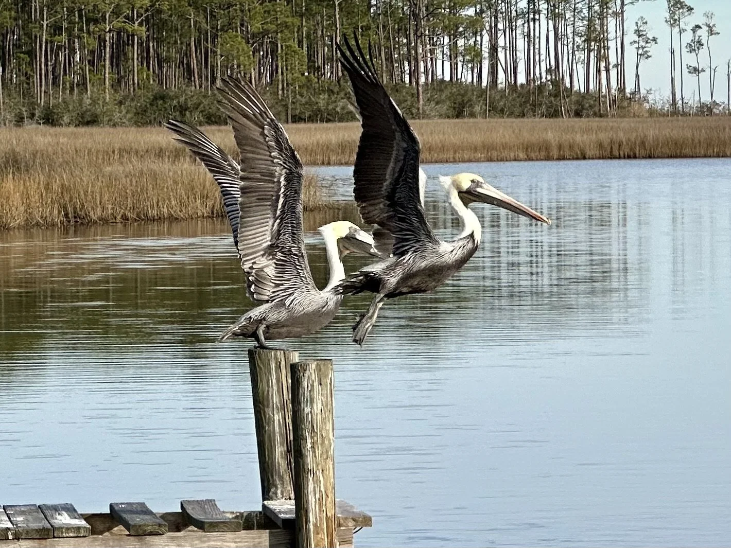
According to ProPublica investigative research, these gorgeous Pelicans are in a “sacrifice zone” neighborhood near Pascagoula, Mississippi, that is at risk of cancer 3.4 times more than what EPA says is acceptable. Photo by Michael Chase. Follow him on Instagram @ mjohnsonchase.
For anyone paying attention it’s hard to miss that last year the world broke yet another record for the sheer volume of greenhouse gases emitted into the atmosphere. Consequently, we are witnessing a disturbing acceleration in the number, speed and scale of broken climate records. 86 days were recorded in 2023 with temperatures exceeding 1.5°C above pre-industrial levels. In fact, National Oceanic and Atmospheric Administration (NOAA) data on billion dollar weather disasters indicates significant increases in both the frequency and the cost of such disasters during the period from 2003 to 2022, compared to 1983 to 2002. More alarming, this trend appears likely to continue: by the end of 2023 there had been 28 weather and climate disasters just in the United States that had resulted in over $1 billion in damages. The total cost of disasters in 2023 alone in the US was at least $92 billion dollars.
Given there is a lag between when emissions occur and when their effects are felt, it is already clear things will get worse before they will get better, no matter what we do now. After all, it takes time for the physics to work itself out, and that time is more likely measured in years than months. Scientists know this, and that is why there is already wide agreement we are going to permanently surpass the aspirational limit of 1.5 C degrees of warming that was set at the Paris Accords.
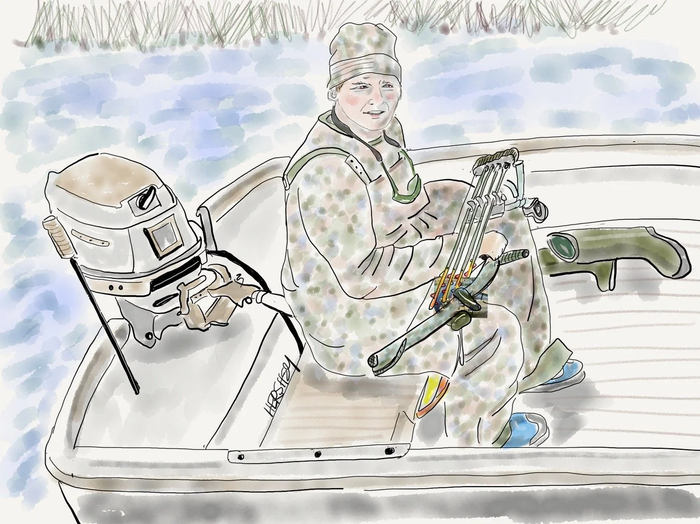
We met Christman at a boat launch in Bayou Cumbest outside Pascagoula, Alabama, near where I took the Pelican photo above. Christman explained how to spell his name like he’d said it hundreds of times - “It’s Christmas with an N, and it’s a family name.”Christman works as a mate on a tugboat in the river, and was fully dressed in camouflage as he set out on his skiff as the day was ending. Having just finished his shift, he was hoping to kill a deer or a boar with his bow and arrow, although he said he preferred venison over boar meat. Christman was headed for the closest barrier island, where he would have to bushwhack half a mile through the marshes to find prey. He needed the food because his refrigerator was empty. We had no idea if Christman knows about the elevated cancer rates in this “sacrifice zone neighborhood.” As outsiders we didn’t think it was our place to ask. Drawing by Jenny Hershey. Follow her on Instagram @deeofo.
COP participating nations remain committed to the goal of zero emissions by the year 2050. There is increasing evidence we can achieve it, even if we are turning toward change as a large battleship might… slowly and steadily, in spite of obstacles everywhere. While we have still failed to see a drop in global emissions, all indications are that we will in a few years. Recent rapid deployment of renewable energy has breathed hope into global efforts to reduce emissions, and the best informed writers and climate scientists around us are telling us not to let our fears give way to despair. There are many signs of positive change. Interestingly, many of the changes in the US are driven by red states because of the positive economics of renewables in the heartland. An excellent analysis of the extraordinary growth in US wind and solar can be read here.
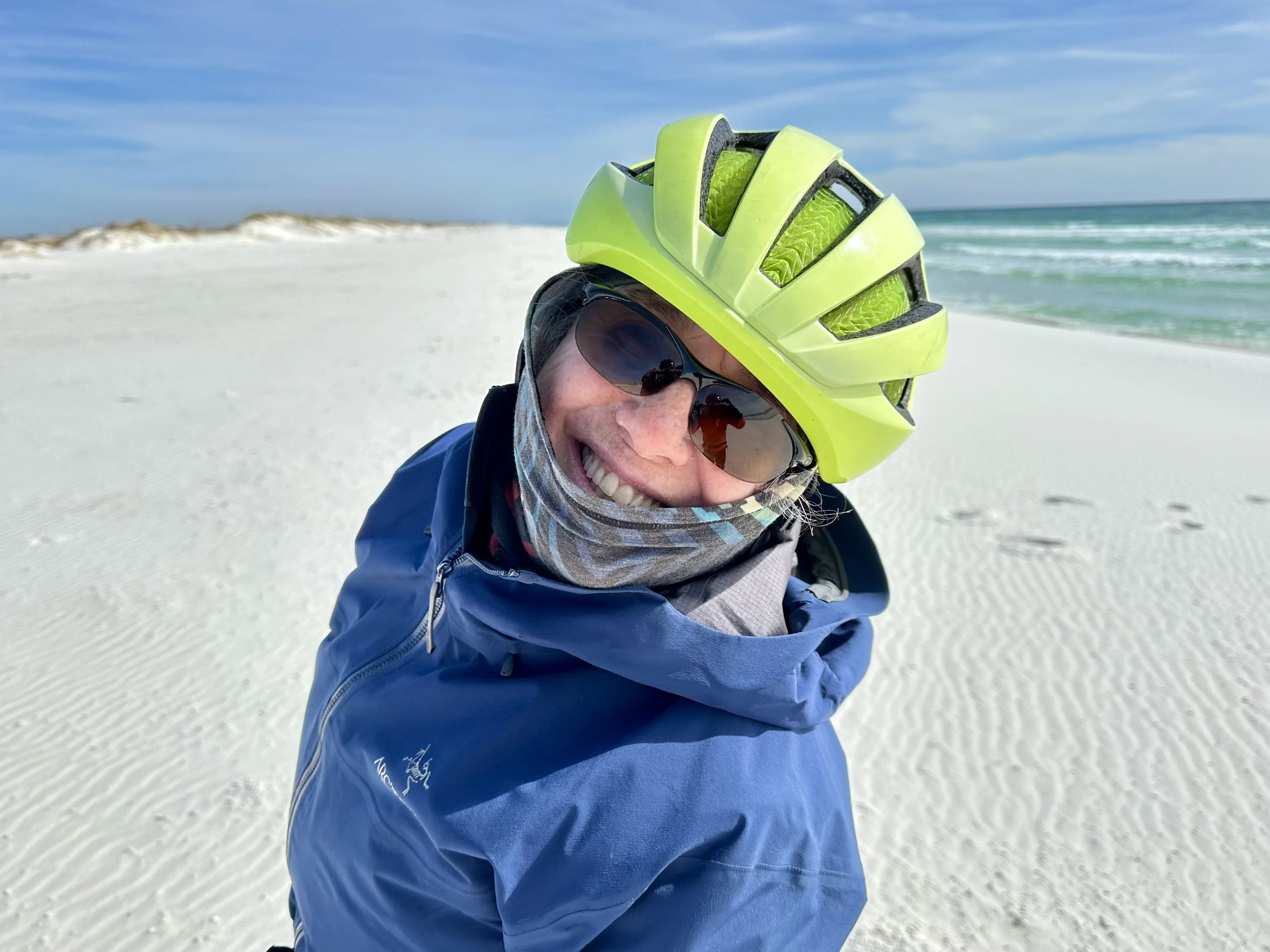
Jenny frolicks at the Gulf Island National Seashore near Navarre, Florida. This is a delightful ten mile stretch of unspoiled parkland on a barrier island. Photo by Michael Chase. Follow him on Instagram @ mjohnsonchase.
In 2010, global installations of solar and wind combined made up only 1.7% of global electricity generation. By last year, global installations had climbed to 8.7%, which is far higher than what had been predicted. In 2012 the International Energy Agency expected that global solar energy generation would reach 550 TWh by 2030, but that number was reached by 2018, making the growth of renewables more exponential than linear.
At home, the US installed 37.3 GW of wind and solar power in 2022 (a record high), generating 383 TWh of wind power generation, up from 275 TWh in 2018. In the same time span, solar power generation rose from 96 TWh to 212 TWh. These are unprecedented rates of growth and have contributed considerable economic benefits to communities across America. Renewable energy developers pay property taxes, which boosts public funds. Most of the states that have been bullish on renewables also have low electricity prices well below the US average.

Solar panels on display in an aerial photograph of the 700,000 panel solar energy installation near Bainbridge, Georgia, where we met Louis from Jenny's first drawing. NextEra leased the 1,400 linear miles needed (measured by putting the panels side by side). According to WTXL TV in Tallahassee this project, “creates opportunities for the landowners and the farmers to increase their operations while they’re able to rely on the revenue from a plant like this,” said NextEra Energy Resources VP of Development Stuart McCurdy. And farmers and landowners aren’t the only ones benefiting. This project created 350 jobs during the construction period and over the next 30 years it’s expected to generate nearly $14 million dollars in tax revenue for Decatur County. Image above from onXBackcountry.
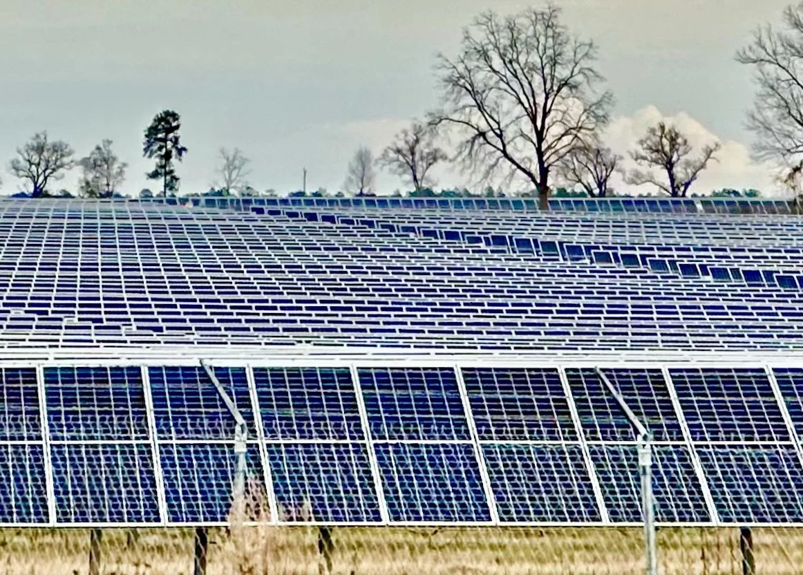
This photo is a landscape view of the installation above from an easement on a county road. Photo by Michael Chase. Follow him on Instagram @ mjohnsonchase.
In a recent opinion piece in the New York Times, David Wallace-Wells writes about an unusually successful effort to defend renewables by explaining an effort in Texas by state Republican officials to shut down the wind and solar sectors, which was was soundly “defeated by Republican businessmen who realized that would “raise electricity bills, harm economic development and imperil the state’s grid, which has been saved from blackouts several times in recent years by new renewable capacity.”
It’s also important to mention the bold step taken by the Biden administration to request environmental reviews of 17 new liquified natural gas (LNG) terminals, especially the enormous LNG terminal CP2 near Cameron, Louisiana. Even though the Biden administration has already approved more LNG export facilities than the Trump administration did, there is little division over the decision to delay these terminals in the White House. Halting them is not seen as a major energy security issue, since the United States is already producing and exporting so much gas. Capacity is already set to nearly double over the next four years, making the need for these additional terminals less urgent.
Analysts have said that pausing permit approvals will have little immediate impact on the flow of American LNG exports to European allies, nor will it impede the eight LNG export projects currently operating or halt ten LGN export terminals already approved and under construction. The United States now ranks as the world’s biggest LNG exporter after doubling its exports over the past four years. The projects already approved and under construction are expected to double the current volume of American LNG exports by 2028. For those reasons, and in spite of the spin at Fox News, there will be little, if any, geopolitical downside. Now, a critical calculation can be assessed on whether methane emissions will push the world too far toward a highly dangerous climate scenario. This evaluation reflects the advice of many climate scientists, and has relieved millions of Americans who are worried about the consequences of a rapidly changing climate.
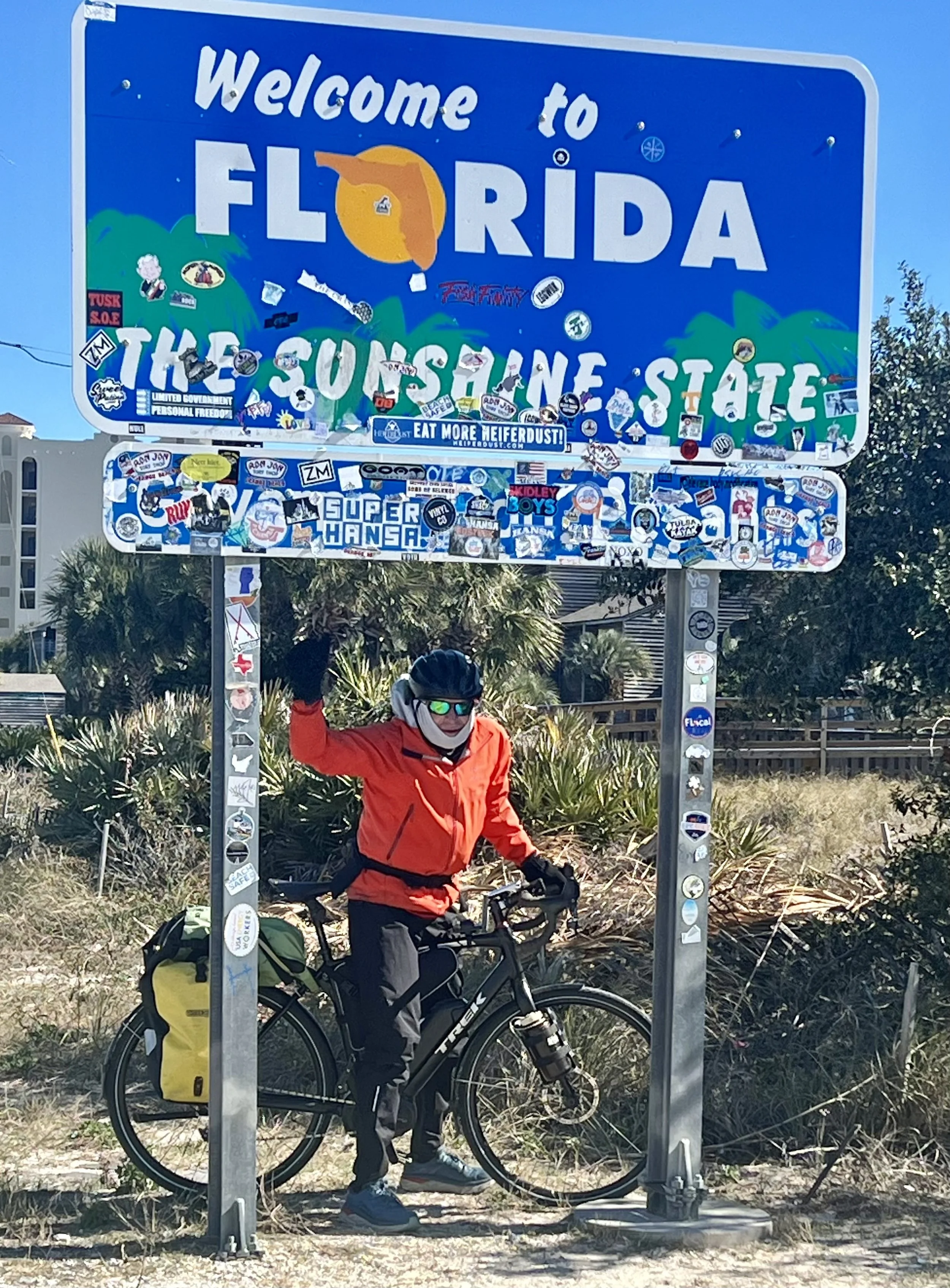
I celebrate at a state line marker between Alabama and Florida on the coast. I have three shirts, one of them wool, plus two Gore-tex jackets and a down vest on. My legs and head are similarly layered. Thankfully, the sun was shining. Photo by Jenny Hershey. Follow her on Instagram @deeofo.
I particularly treasure a newsletter on Substack called “Sustainability by Numbers” by a 35 year-old Scottish climate scientist named Hannah Ritchie, author of a fascinating book called “Not the End of the World”. Ms Ritchie works at a European organization called Our World in Data. Here are some of their core beliefs:
“It is possible to change the world. To work towards a better future, we need to understand how and why the world is changing. In important ways global living conditions have improved…. While we believe this is one of the most important facts to know about the world we live in, it is known by surprisingly few. Instead, many believe that global living conditions are stagnating or getting worse and much of the news media’s reporting is doing little to challenge this perception. It is wrong to believe that one can understand the world by following the news alone and the media’s focus on single events and things that go wrong can mean that well-intentioned people who want to contribute to positive change become overwhelmed, hopeless, cynical and in the worst cases give up on their ideals.”
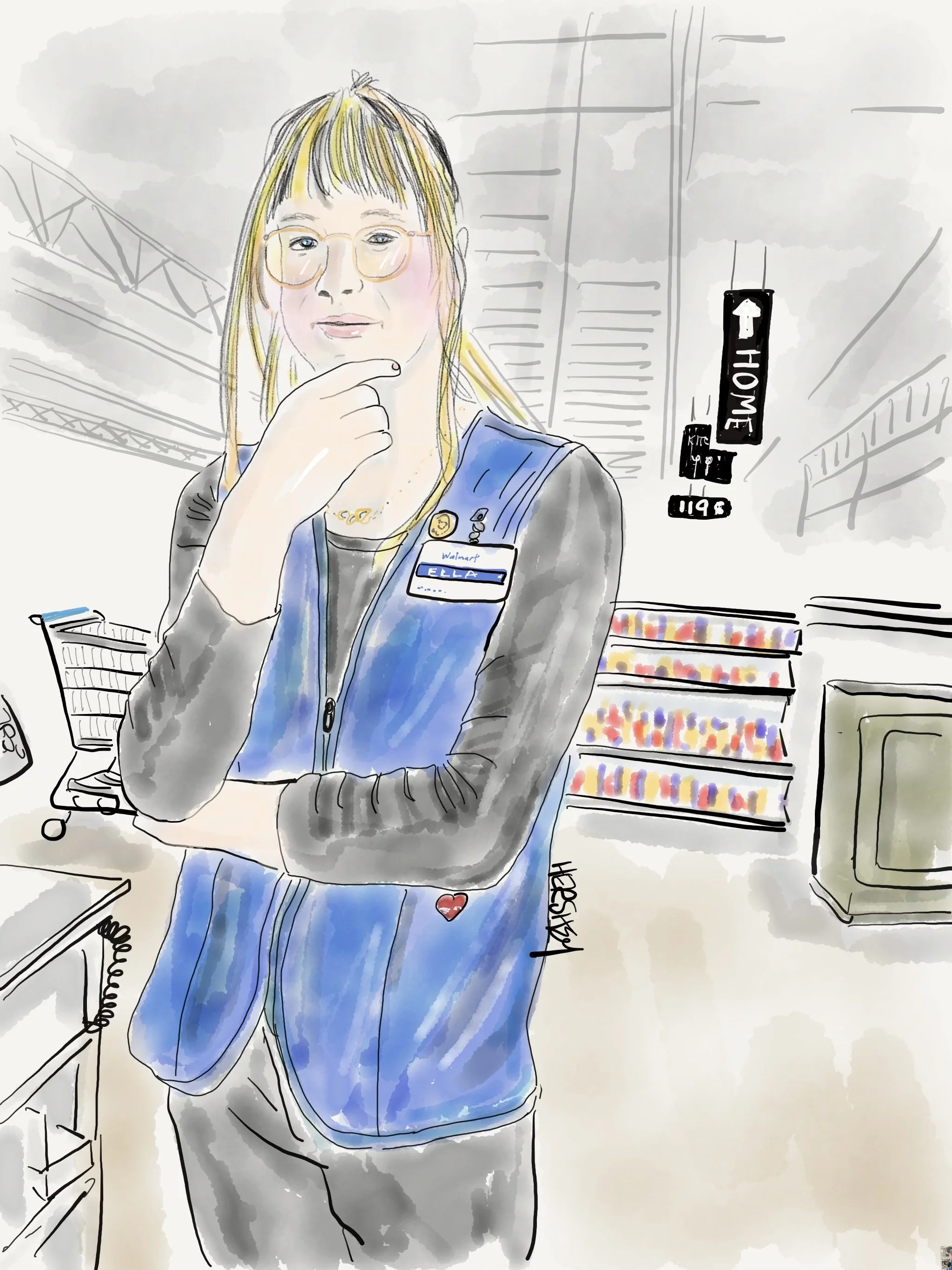
In Chipley, Florida, I went looking for drinking water while Jenny went to the local Walmart to buy food. While checking out, Jenny met Ella, who kindly helped Jenny use the Walmart app. On a hunch, Jenny asked Ella, “So? How’s that governor of yours working out for you?” “He’s not MY governor,” Ella quickly retorted. Now 24, Ella began her transition from a man to a woman at age 20. She acknowledged that Florida is a very difficult state for younger kids in need of hormone treatments. Even so, Jenny learned that Ella’s co-workers are quite supportive, and Ella has learned how to roll with the punches when customers react uncomfortably to her. She remains calm, “stays in her lane” and doesn’t react. Ella isn’t a marcher or an activist for transgender rights; it’s enough for her to do what she can to live a good life and enjoy herself - particularly her life with her girlfriend. Drawing by Jenny Hershey. Follow her on Instagram @ deeofo.
One afternoon, after we sought shelter sooner than we usually would because of very cold winds, I came across a body of work in sociology that complements Hannah Ritchie’s. While researching how apocalyptic thinking permeates viewpoints about the solvability of our climate crisis, I googled the sociologist Christopher Bader. I was delighted to discover the book: “Fear Itself; The Causes and Consequences of Fear in America” by Christopher D. Bader, Joseph O. Baker, L. Edward Day, and Ann Gordon.
Fear Itself, and its related project the Chapman University Annual Survey of American Fears, addresses the more pernicious aspects of fear on American life. We know that persistent fear can negatively affect our decision-making abilities and cause anxiety, depression, and poor physical health. But what we often miss is that fear also harms communities and society by corroding social trust and civic engagement. One needs only to look at our current divisive politics, and the ways that politicians effectively leverage fears to garner votes. It is quite clear that fears are driven by the kind and volume of news and social media we consume. Consider survey data about the impacts of daily viewing of highly partisan news on both conservative and progressive news outlets: “The more frequently our survey respondents reported watching Fox News, the greater their number of fears related to Obamacare, gun control, illegal immigrants, and other “horrors” frequently addressed by Fox. The effect is quite strong. Someone who reports watching Fox News every day is, on average, afraid of three times as many conservative political concerns compared to someone who never does. Across the political spectrum from Fox News sits MSNBC. Their viewers are hardly immune from fear; they just fear different things. Fear of Trumpcare, white supremacists, anti-immigrant groups, sovereign citizens, and extreme anti-tax groups steadily increases the more frequently someone watches MSNBC. Those who watch every day are fearful of almost twice as many of these concerns compared to those who never watch MSNBC.”
I don’t mean to suggest that being uninformed is better than being informed, but I am suggesting that we need better ways to assess reality, and are wrong to assume that watching highly partisan news is going to teach us what is truly happening in our world. As Ritchie suggests, we are better off paying less attention to what is new, and more attention to what is important. Or put another way: let’s pay less attention to problems, and more attention to solutions.
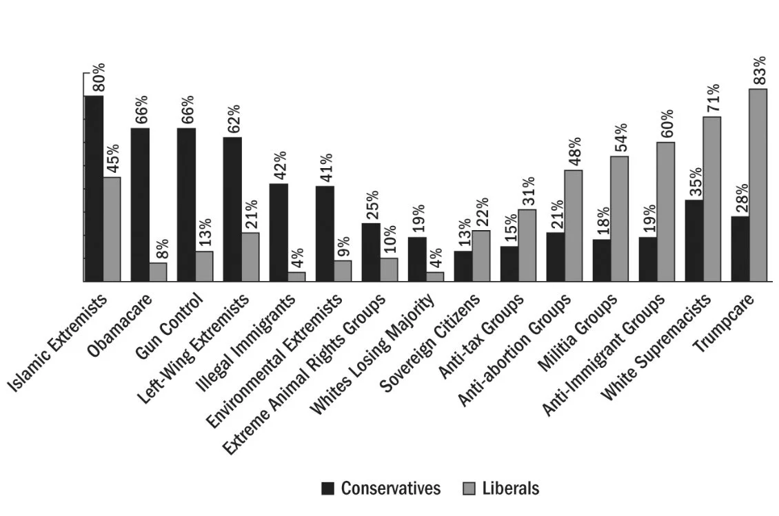
The graphic above features Conservative and Liberal Fears: Percentage Afraid by Political Orientation (2017). Notice how there are significant fears by respondents from both parties, although what is feared is distinctly different. Graphic from “Fear Itself; The Causes and Consequences of Fear in America.”
For example, if you study crime statistics it is quite clear that fear of crime in America is considerably out of proportion with the reality of crime. I regard this misperception as an example of Ritchie’s point that we need to focus on what's real through data, and not succumb to misguided fears.
The Chapman survey verifies increasing high fear levels of crime since 2016, even though - in reality - the national violent crime rate in the US decreased by 1.7% in 2022, consistent with the trend of a long-term decline in violent crime since 1993. Crime rates for Louisiana, Mississippi, Alabama, Florida and Georgia has been steadily decreasing in all categories except shootings. What’s more, crime has been steadily decreasing in New York City for years, making it the safest large city in America right now. The New York City Police Department (NYPD) reports that the major felony offenses of murder, rape, robbery, felony assault, burglary, grand larceny, and grand larceny of motor vehicle, have declined by 28.6% from 2012 to 2022.
However, some types of crimes, such as shootings and hate crimes, have increased across the nation in recent years. The old phrase “coincidence doesn’t indicate causality” might apply here, but it is worth contemplating that gun ownership in the US increased by 28% from 1994 to 2023. It is estimated that there are now over 393 million civilian-owned firearms in America. That said, most gun deaths occur by people who know their victims. (Hopefully that fact will mollify some our more fearful liberal friends who worry that Jenny or I will be shot on our bikes if we cycle in states with “conceal and carry” laws.)
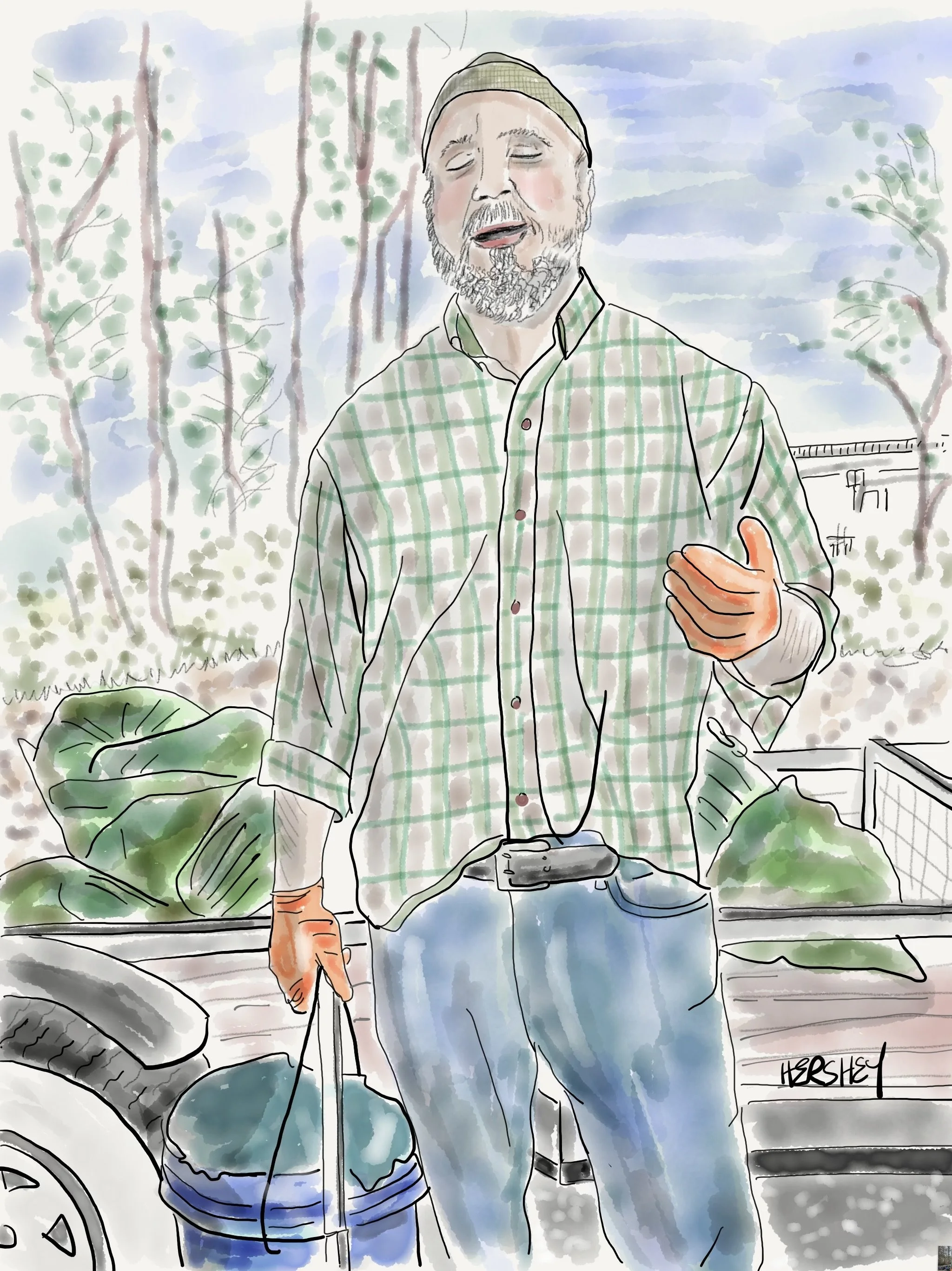
We were eating lunch near a boat launch in Walton County, Florida, when Chris pulled up in his truck, and stepped out. Jenny immediately said, “Hi, how are you doing today?” “Chris responded “I’m doing really well, thank you, Ma’am.” Jenny replied, “Where are you from? That’s an unusual accent you have.” Chris responded: “It’s not an accent. It’s a speech impediment”. And a long conversation followed. Chris is a 49 year-old sanitation employee for the county. He was 23 years old when he suffered a brain stem injury in an automobile accident. The accident put him in a coma for a week, and left him unable to walk and speak for three months. He told us,“Every night I’d cry myself to sleep, feeling sorry for myself. Finally I started praying for the Lord to save me.” Then he had a vision in which the Lord came to him, and lifted him up. And he started to heal, and Chris realized he had survived that accident for a reason, and it was to live a life in service to the Lord. Chris used to be embarrassed about his speech difficulties, but now proudly shares his miraculous story with others, “Praise the Lord!” As we were packing up, Chris asked Jenny, “Do you go to church?” Jenny replied, “I’m Jewish, and I sometimes go to temple. Hope that doesn’t bother you.” Chris kindly responded, “Doesn’t matter. God loves all people.” In closing, Chris told us he’s praying that, “DeSantis will become Trump’s VP so there can be 12 years of solid, God-loving leadership of our country.”
If you have read our last two blog posts, you know about our previous random encounters with conspiracy theorists. I was intrigued to learn from Bader that there is a direct correlation between the number of fears reported by Americans and the number of conspiracy theories they believe. In spite of climate activists being called “alarmists” by some, there aren’t conspiracies created by individuals who understand and accept climate science. However, there are nonsensical and exaggerated claims made by environmentalists from time to time. In contrast, there are numerous conspiracy theories about fake or distorted climate science, as well as researchers so corrupted they actively perpetuate the climate myth to access massive amounts of grant money (the latter conspiracy was shared by a family friend who voted for Trump). Of course, these conspiracies theories do what all conspiracy theories do; undermine public trust.
According to the Chapman survey, the “fear of corrupt government officials” has been the top concern for Americans for six consecutive years, from 2018 to 2023. This tells us much about the erosion of public trust. If we cannot trust our government, our scientists, our finest universities, or our most successful corporations (all participants of the public trust), how will we successfully tackle large and complex problems as a nation, much less as a world?
Fear itself is our greatest adversary. It keeps us from figuring out what’s real. And if we don't know what's real, we can’t know the world and we don’t have the power to truly change it. So, to return to Hannah Ritchie’s point, how do we really understand what is happening in the world? Are our worst fears based in real things, or are they out of proportion with reality? And is the news media we consume distorting our real knowledge of the world, or increasing it? Are we feeling apocalyptic because that’s always been part of the human experience, or because our news media and social media offers fear up to us as an endless banquet?
Stay vigilant! Thanks for reading. If you haven’t done so, please subscribe to this blog to follow our next biking trip.
Blog writing by Michael Chase. Drawings by Jenny Hershey. Unless credited or otherwise noted, all material is the copyrighted property of the blog post authors.
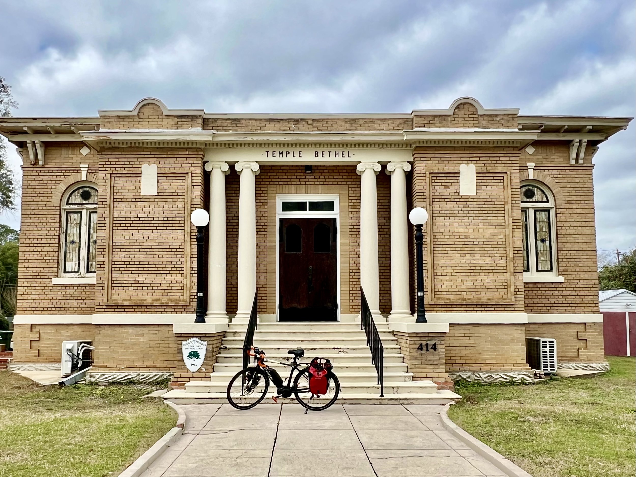
Temple Bethel was the only synagogue Jenny found on this tour until we got to Savannah. It was in Bainbridge, GA, and after an exodus of Jews, it was converted to an Airbnb. Photo by Jenny Hershey. Follow her on Instagram @deeofo.
Save the Children; Biking the Saint Lawrence in Quebec
Writing by Michael Chase, Drawings by Jenny Hershey
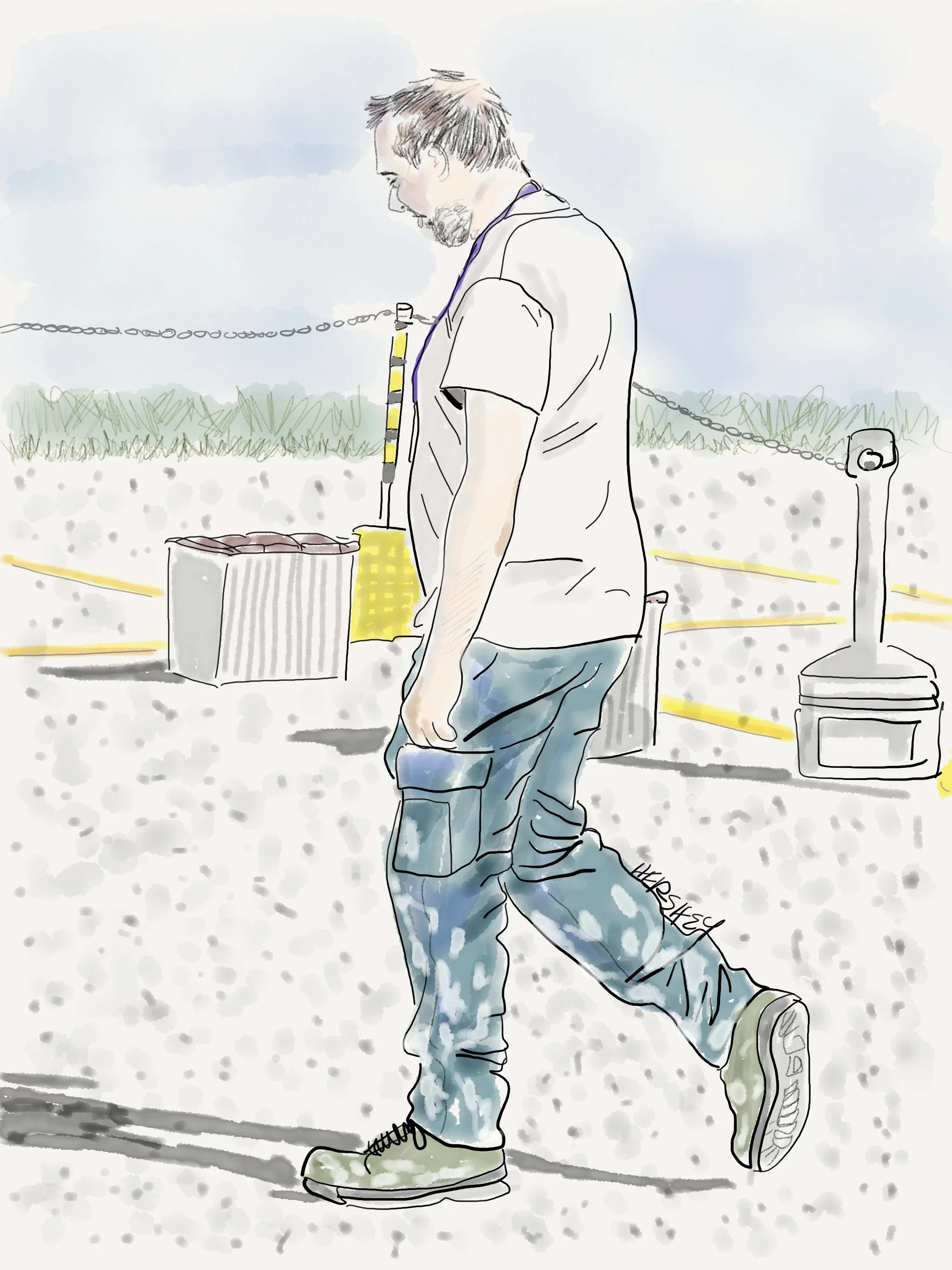
We met Dave in the town of Gaspe at the tip of the Gaspe Peninsula. He was at the end of an overnight shift at LM Wind Power Canada, a leading manufacturer of wind turbine blades in North America. Dave wearily explained that LM has produced over 10,000 blades and currently produces the largest wind turbine blades in the world, measuring 107 meters. These blades are sold in both European and American markets. We asked Dave if we could go inside the factory to see the blades being constructed. “Oh no,” he said, “that’s confidential. I can’t even let my family see inside. Go around the back, and you can see them before they are shipped to Boston for an offshore project.” We were excited by the opportunity and praised Dave for contributing to renewable energy. “Well, that’s all very nice.” he said, “But to me, it’s just a job!” He slowly walked toward his car to go home to sleep. Drawing by Jenny Hershey. Follow her on Instagram @deeofo.
“The world as we have created it is a process of our thinking. It cannot be changed without changing our thinking.”
- Albert Einstein
The Gaspe Peninsula and the North Shore of the Gulf of Saint Lawrence in Quebec have loomed large in our imaginations as a cycling destination for years. Jenny and I found them both accessible and remote, as well as charming and quite stunning. We drove to Quebec from New York City in mid-August, left Jenny’s car at the Quebec City airport, and began biking. North of Maine and New Brunswick, the Gaspe Peninsula and the North Shore of the mighty Saint Lawrence River are favorite destinations for Canadians, especially for residents who live in and around the populated areas of Montreal, Quebec City, New Brunswick, and other parts of the Canadian Maritimes. Gaspe and the northern shore of the Gulf of Saint Lawrence in Quebec feature spectacular landscapes with hundreds of miles of coastland with stunning fishing villages, beautiful bays, fjords, mountains, gushing rivers and streams, waterfalls, lots of camping spots, and modest and charming accommodations. We were not disappointed!
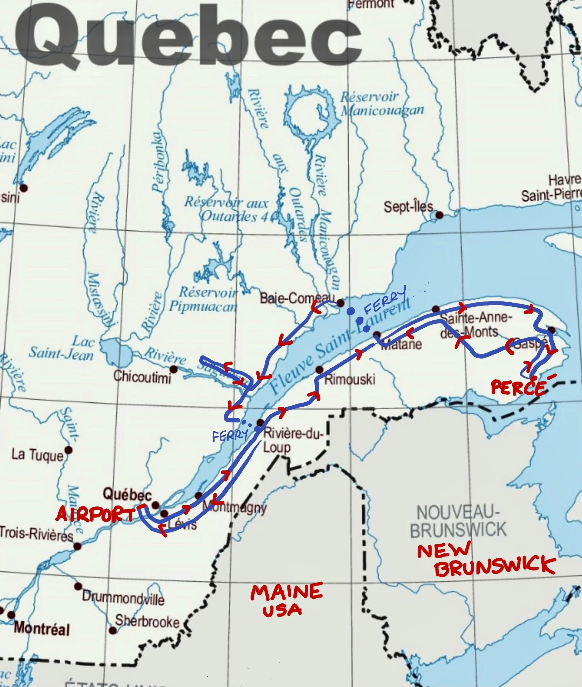
We began at Quebec City, riding our bicycles up the north coastline of the Gaspe Peninsula to the town of Gaspe and down to Perce, then across the interior through Murdochville and back to Matane on the north coast of the peninsula, where we ferried to Baie-Comeau, biked down the North Coast of the Saint Lawrence to Tadoussac and up the mighty Saguenay River with its many fjords to St. Rose du Nord, then back to Tadoussac, across the Saguenay River by ferry to Baie St. Catherine, down to Saint Simone, taking yet another ferry to Rivière du Loup and biking back to Quebec City. We rode about 1,350 miles in total. Map constructed by Jenny Hershey. Follow her on Instagram @deeofo.
The abundance of good weather we encountered on this trip contrasted almost daily with news about challenging weather events plaguing many other communities elsewhere. Because Jenny and I follow climate change impacts on local communities as widely as possible, the contrast between our experience at any given moment and what is happening elsewhere is always on our minds. This has been quite a summer for extreme weather events. It may be that 2023 will be remembered as the year the global climate tipped permanently into a perpetually worsening fever. For the remainder of our lives (we are in our early seventies), Jenny and I can count on experiencing ever-worsening weather. As to those born in the 21st century, climate science modeling indicates that temperatures (and their attendant impacts) may flatten out in forty to fifty years if we can manage to stop emitting greenhouse gases over the next few decades. It’s a profound moment for humanity; whether we get it together in time to save civilization as we know it is the biggest story humanity has ever faced.
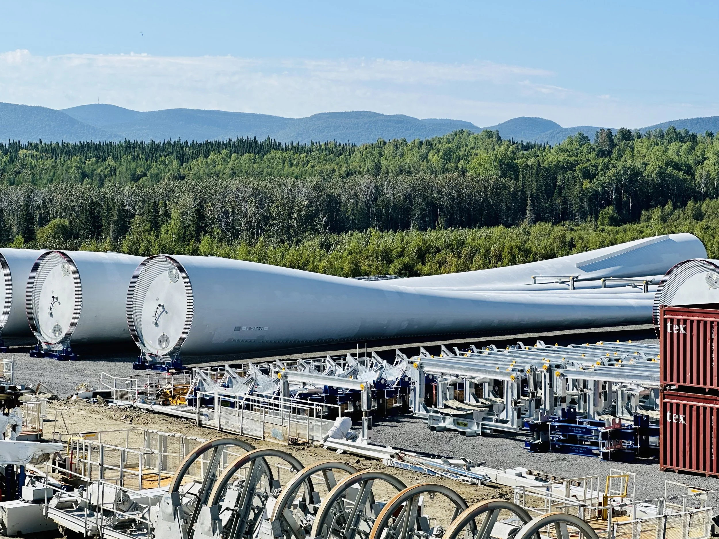
Wind turbine blades destined for a Boston offshore wind project manufactured in Gaspe at LM Wind Power. The facility employs over 500 workers and contributes to the local economy and the green transition. Photo by Michael Chase. Follow him on Instagram @mjohnsonchase.
No matter what happens with greenhouse gas emissions, extreme weather tragedies over the next few decades will undoubtedly exceed anything we have already experienced. Still, giving into despair is pointless and unproductive. While we must be realistic about our situation, there is always hope. Humanity can still create a workable future. We have all the technical solutions we need, and the global collective will to improve our way of life gets stronger daily. At the same time, we must focus ever more intently on removing the corporate-driven, highly politicized conflicts of interest that stand in the way. More on that later in this post…
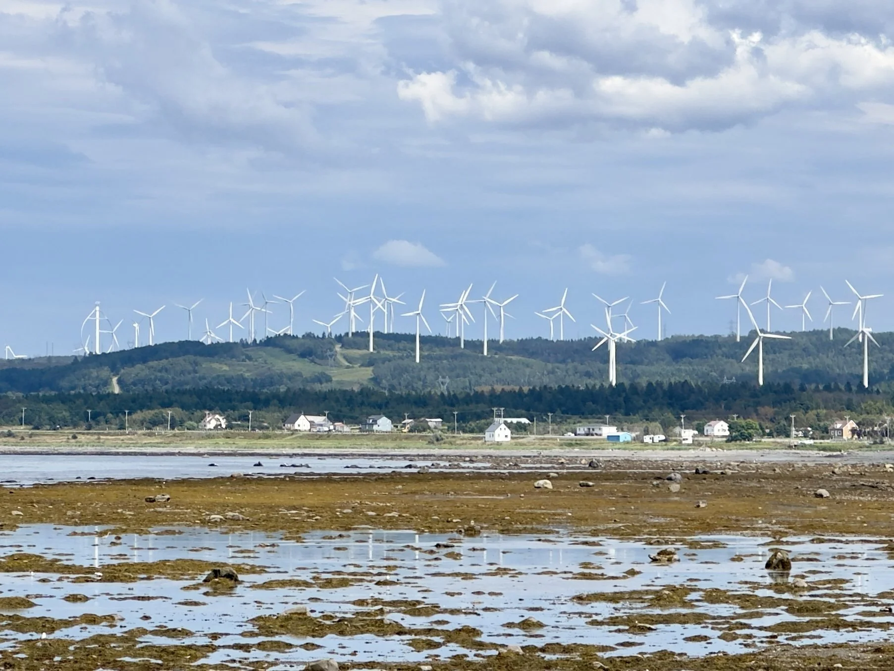
The Gaspé Peninsula is one of the windiest regions in Canada, with an average wind speed of 28 feet per second. The region has been developing its wind energy potential since the 1990s with the support of the provincial and federal governments, local communities, and private companies. The Mesgi’g Ugju’s’n wind farm has 47 wind turbines expected to generate approximately $200 million for three indigenous Mi’gmaq communities over the next 20 years, with a total installed capacity of 150 megawatts (MW). The large multinational renewable energy company Innergex is also active on the peninsula, and the windmills pictured above belong to them. The region has over 800 MW of installed wind capacity, representing about 60% of Quebec's total wind capacity. There are also several research and training centers for wind energy, such as Nergica and the École de Technologie supérieure (ÉTS). This photo was taken near Baie des Capucins, Quebec. Photo by Michael Chase. Follow him on Instagram @mjohnsonchase.
Jenny and I publish these blog posts every few months, and it usually seems helpful to begin with a brief review of our changing climate. As change accelerates, a lot can happen in a few months. Fortunately, the press is getting better about reporting on climate issues, so many people (except, perhaps, for those who only expose themselves to the far-right echo chamber) are already aware of the constant drumbeat of ominous climate news. Consequently, a very brief review of 2023 to date will suffice (for a more thorough accounting go here):
The hottest aggregated land temperatures in recorded history.
The hottest aggregated ocean temperatures and greatest ocean acidification levels in recorded history.
Lahaina, Maui, was reduced to toast. Over 100,000 people in Canada were evacuated because of encroaching wildfires. Major American cities experienced deadly levels of air pollution from Canadian wildfires. Cities in Greece were evacuated because of wildfires and then hammered by historic rain bombs.
A record number of typhoons, cyclones, hurricanes, and tornadoes worldwide.
Atmospheric rivers, rain bombs, historic damage from flooding events. (The floods in Libya leading to bursting dams are the most recent and chilling episode).
Unprecedented and enduring droughts and resulting starvation from crop failures, especially in the Horn of Africa.
Record temperatures and melting of sea ice and glaciers in both polar regions.
A Casandra-like warning from scientists that the Atlantic Current (AMOC) is weakening and may shut down as early as the mid-2030s if emissions aren’t radically reduced soon.
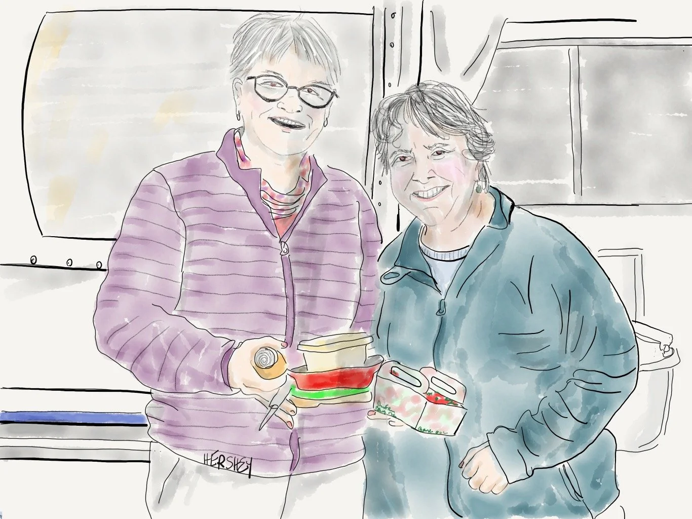
We met Helene and Paule from Sherbrooke, Quebec, at a rest stop near Saint Maxime du-Mont-Louis. They were on their way to a camping trip to Forillon National Park at the tip of the Gaspe Peninsula. Almost by accident, we found ourselves discussing family values, and Helene and Paule shared their story of love and building a family. They met over 30 years ago. Helene is a retired audiologist, and Paule still works as an occupational therapist for ALS patients. They both came out to their friends and family years ago and eventually adopted two children. However, at the time, they were not legally able to adopt together as a same-sex couple, so they each legally adopted one child, although they continued to live as a family of four. Helene explained, “It took a few more years for us to come out to our larger social and professional communities.” However, those communities gradually came to accept them, and they have been well-integrated into the Sherbrooke community for years. Along the way, they’ve seen a lot of progress toward tolerance. However, they are now concerned by the anti-LGBTQ sentiment reappearing in Canadian political and cultural life, much like the United States. Drawing by Jenny Hershey. Follow her on Instagram @deeofo.
Like everywhere else on our beleaguered planet, the impact of climate change is apparent in Quebec on the North Shore and the Gaspe Peninsula. Gaspe was lucky to escape wildfires this year (although the region was surrounded by fires in northern Quebec and Nova Scotia). The most apparent climate-driven issues on Gaspe are coastal erosion, rising sea levels, and extreme weather events, such as unusually intense storms and more significant swings between drought and wet periods. This summer (2023) was much wetter than the norm, with some prolonged periods of extreme heat. That said, a heat wave in Gaspe is when temperatures climb above about 85F (30C), although we talked to a 23-year-old bicycle mechanic in Matane who can remember a few 104F (40C) days in earlier years. So, while residents and tourists experience heat waves, less attention is paid in this region than further south to the dangers of heat fatigue, exhaustion, or heat stroke. Unfortunately, that is unlikely to last.
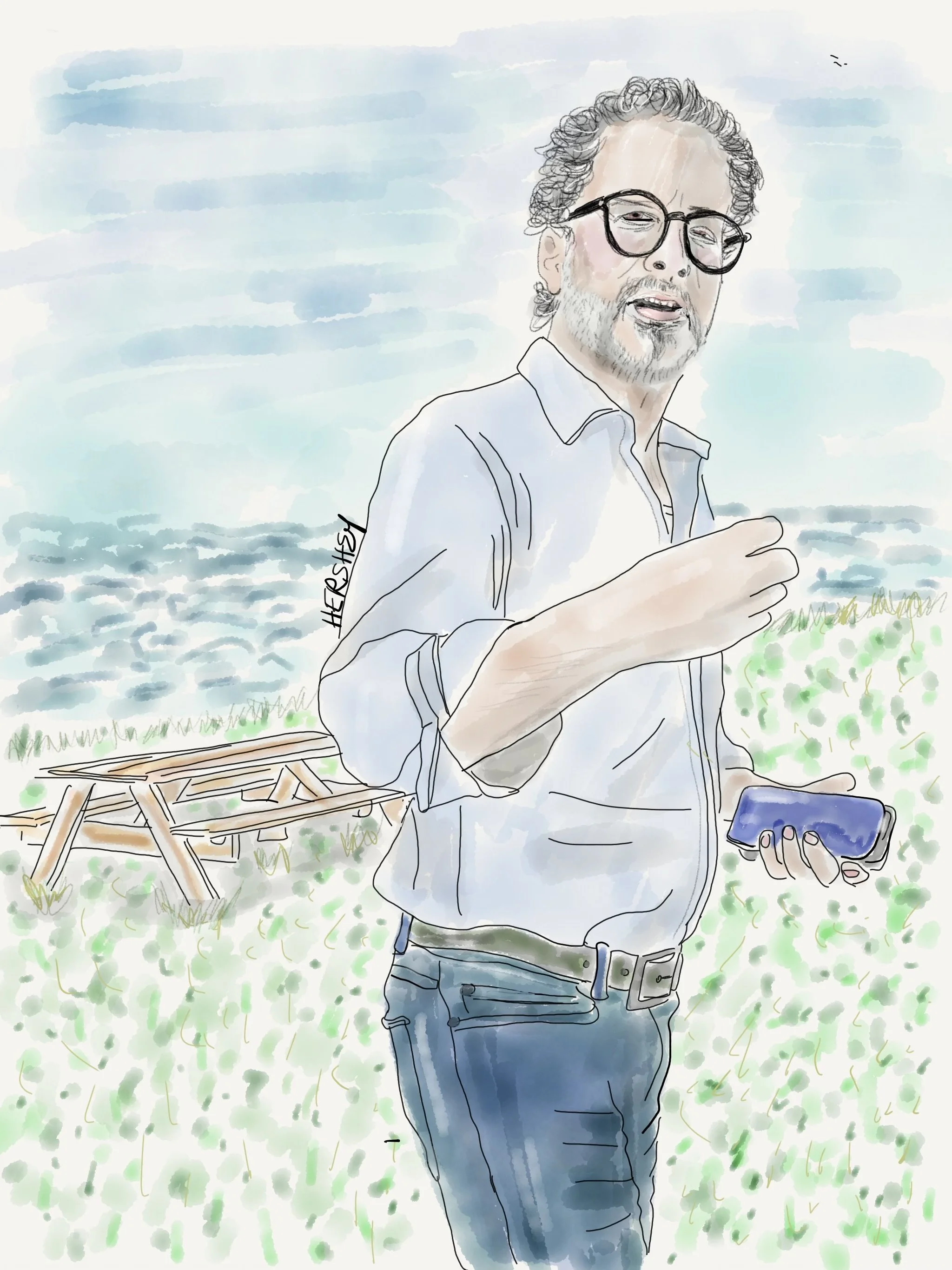
James owns the L’Etoile du Nord Motel on Pointe-a-la Fregate on the Gaspé Bay Peninsula. He purchased his motel/restaurant before the COVID pandemic but decided to run his Montreal-based cybersecurity consulting business remotely once it hit. James runs a tight ship as a motel and restaurant owner while simultaneously running his cybersecurity business. He greets his motel guests for breakfast, engages in warm morning chatter, and then promptly hops on Zoom calls with his cybersecurity staff in Montreal. James shared some of his dreams while showing us around his property. He is very proud of a late 19th-century ice house that he moved inland to protect from storm surges. As we walked on, he gestured to some empty beehives, telling us the bees didn’t make it through last winter and he’ll try again in the spring. Then James showed us a spot where he hopes to build a lighthouse. In a touching moment, he placed his hand over his heart and confessed his greatest joy is having his two young adult sons working with him this summer. Drawing by Jenny Hershey. Follow her on Instagram @deeofo.
Although communities on the peninsula have faced coastal erosion challenges for decades, climate change has accelerated erosion in recent years by increasing the frequency and intensity of storms, reducing the protective sea ice cover, and causing sea level rise. Consequently, an increasing number of homes, businesses, infrastructure, and cultural heritage sites in the Gaspe region are at risk of being damaged or destroyed by the encroaching sea. Although we couldn’t meet them, we read about a couple trying to save their ancestral home from coastal erosion by placing 650 tons of rocks along their property to create a barrier against the waves. However, they acknowledge this is only a temporary solution, and they may eventually be forced to move.
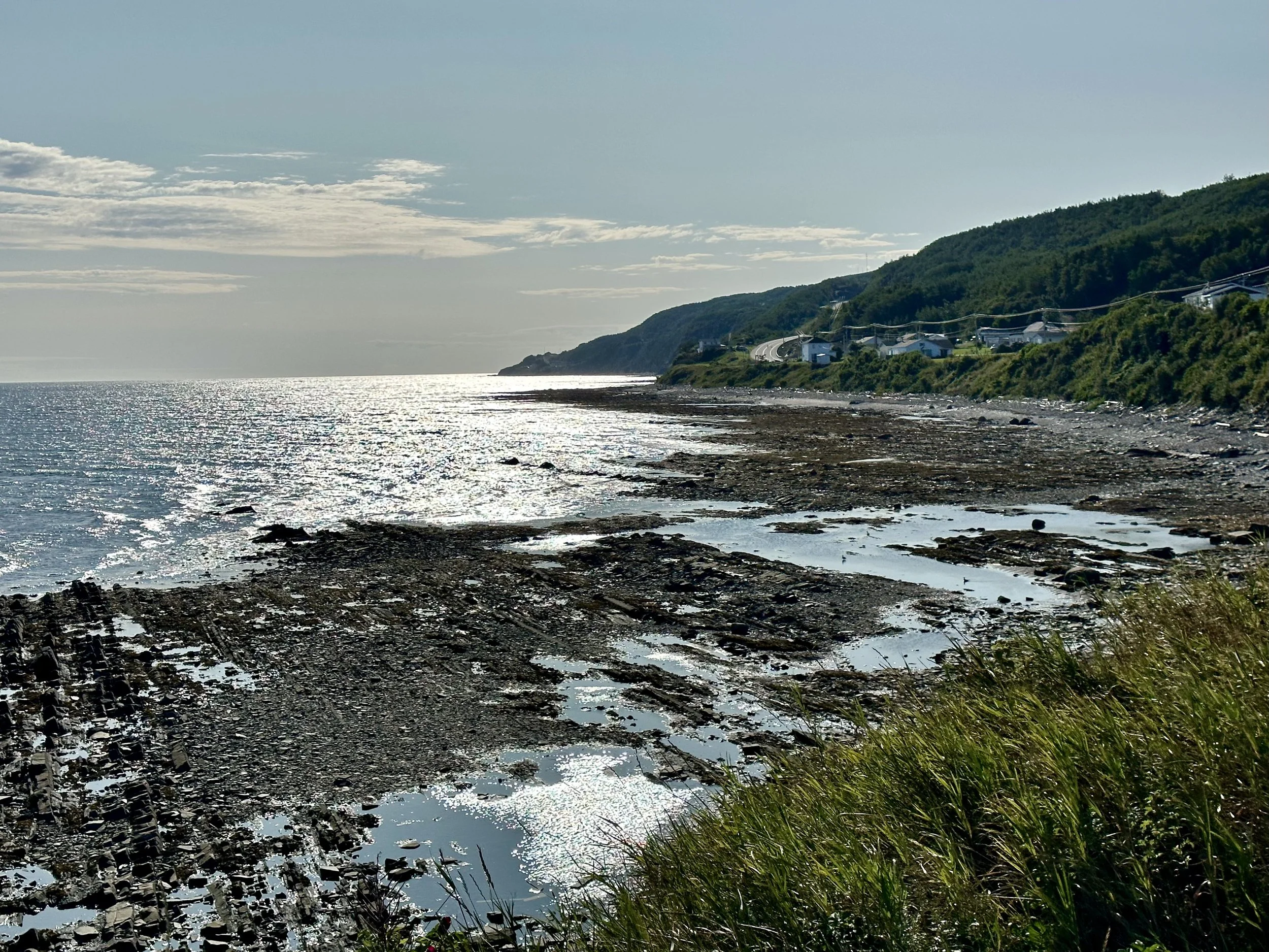
The morning sun reflects off the water on the Gulf of Saint Lawrence at L’Etoile du Nord, the lovely motel we write about above on the Pointe a la Fregate near the northernmost end of the Gaspe Peninsula. Photo by Michael Chase. Follow him on Instagram @mjohnsonchase.
We traveled across the Saint Lawrence Gulf by ferry at Matane to Baie-Comeau. We had been enjoying the coastal charms of Gaspe so much that we weren’t prepared for the ecological and geographic distinctions of the North Shore. The town of Baie-Comeau was an unsightly contrast to the lovely city of Matane. Although there was a minor English fishing village in what was called Comeau Bay since the late 1800s, the town grew rapidly after a paper mill was established in 1936 by Colonel Robert R. McCormick, publisher of the Chicago Tribune. Experiencing remarkable growth, the town of Baie-Comeau was incorporated the following year. The area continued to see economic development when hydroelectric power stations were established on the Manicouagan and Outardes Rivers, as well as an aluminum smelter and grain warehouses. As a result, the area is industrial and rather ugly. We were told, however, that the cycling between Baie-Comeau and Godbout to the northeast was exceptionally scenic. Unfortunately, we didn’t have the time to go there.
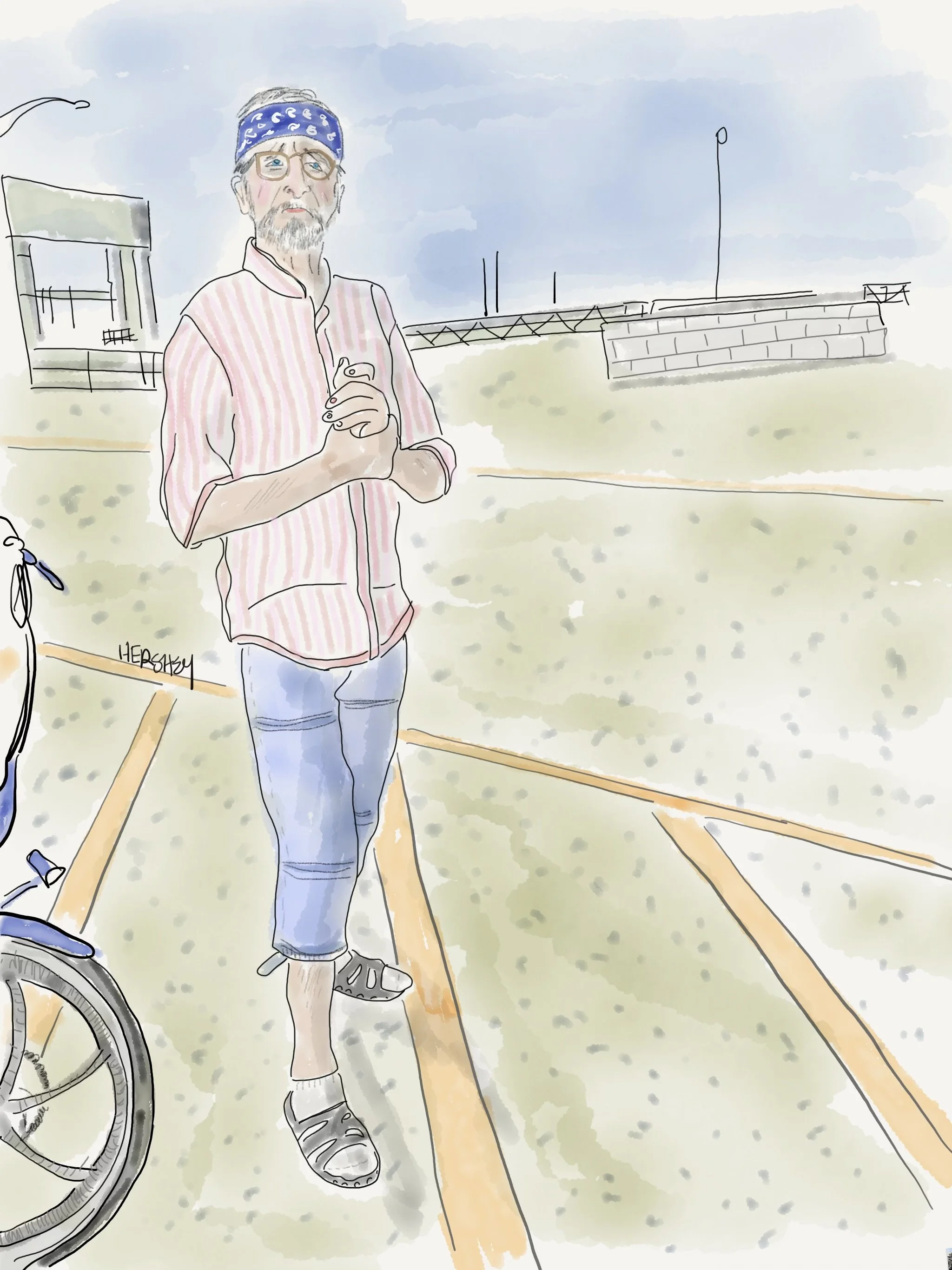
As we queued up for the ferry in Matane, Quebec, to cross the Saint Lawrence on our way to Baie-Comeau, we met a fellow bicyclist named Renaud. We admired his new folding e-bike and swapped biking stories. We learned that Renaud was a proud member of Local 711, the Canadian steelworkers union, and was part of a group of men who were sent to work on the construction of the World Trade Center in 1972, when there was a shortage of steelworkers in the States. He recalled living in Orange, New Jersey, among many cockroaches. He remembers being completely overwhelmed watching the towers come down on television on 9/11. Knowing how the towers were constructed, he was shocked they fell and felt a profound personal loss. But now, in retired life, Renaud enjoys long day trips on his e-bike and leaves the past behind. As we disembarked, we were impressed by Renaud’s agility as he exited, so we asked his age. He replied matter of factly, “I’m eighty-one.” Jenny and I shared a glance. We were both thinking, let’s hope we can do that at his age! Drawing by Jenny Hershey. Follow her work on Instagram @deepfo.
We went south instead. We were puzzled by the devastated terrain as we progressed southwest on Highway 138 toward Tadoussac. The trees are largely Jack Pine mixed with some Red and White pine and a few birches. At least half looked dead, and the undergrowth was thick with lifeless and decaying wood. The ground was exceedingly sandy. Jenny, who is very attuned to bird life, kept commenting on the notable absence of birds, “Nothing to see, nothing to hear!” Although no paved roads led off the highway, occasionally, an unpaved road, sandy and uneven, stretched into the seemingly endless pine forest. Sometimes, we could glimpse logged wood piled behind the trees. And once in a while, the forest would open up into rocky terrain and fiercely rapid streams and rivers. I imagined this landscape continuing for hundreds of miles to the north. But how would I know? All I knew for sure was we were on the southern border of Quebec’s arboreal forest, and it didn’t look healthy.
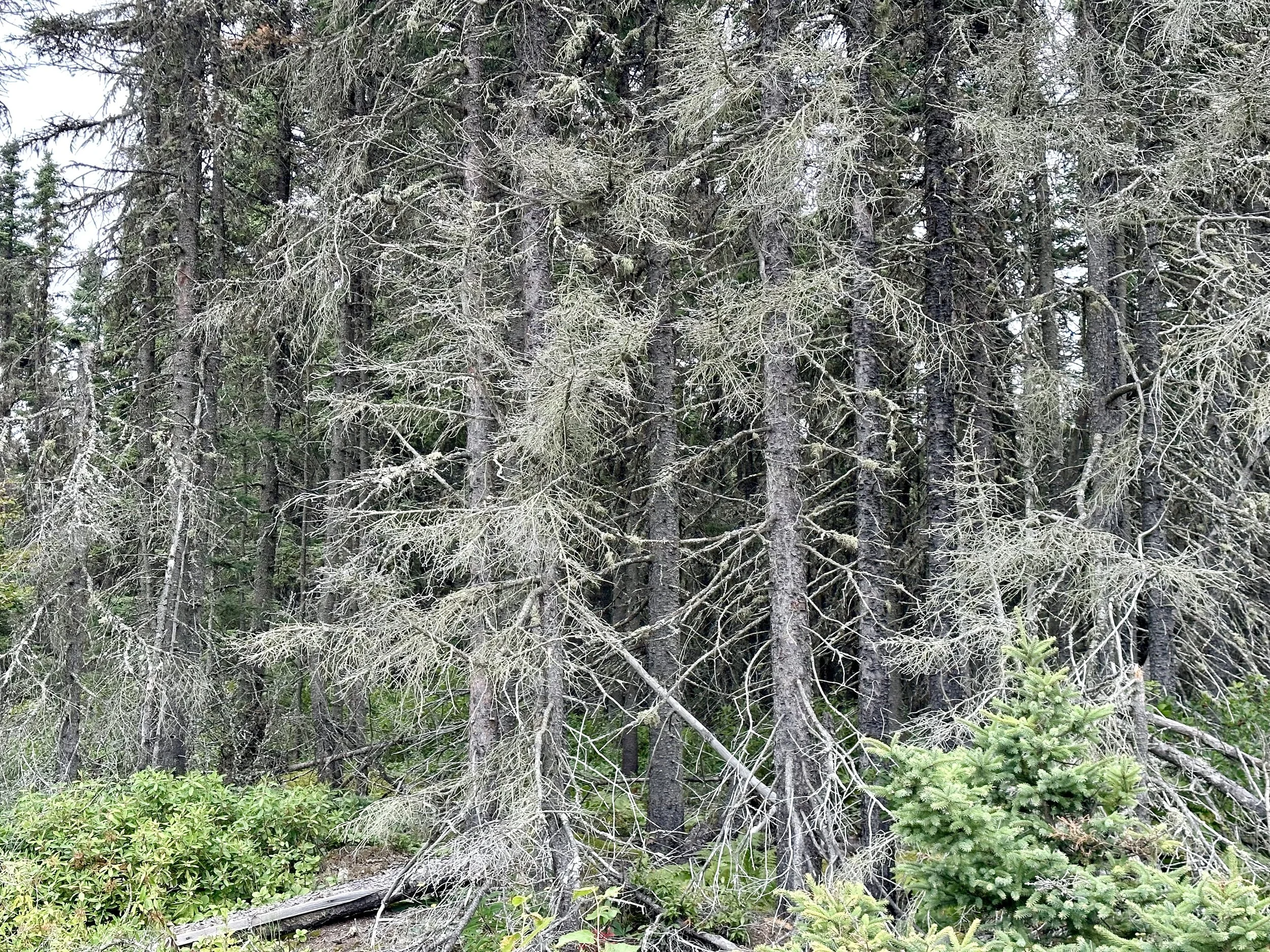
Climate change and natural disturbances are the most likely cause of dead trees in the boreal forest near Baie-Comeau, Quebec. As we know only too well after this summer’s record-breaking wildfires, climate change is causing the boreal forest to experience unprecedented warming and drying, which kills trees, turning them into fuel. In addition, insect outbreaks, such as spruce budworm and bark beetles, damage and weaken trees, making them more susceptible to diseases and decay. Even in the absence of wildfires, these factors can create a feedback loop where more carbon is released from the forest into the atmosphere, contributing to further climate change and forest degradation. Photo by Michael Chase. Follow him on Instagram @mjohnsonchase.
The boreal forest in Canada is now releasing more carbon than it is storing. This is because of the increasing frequency and intensity of wildfires, which are driven by climate change and the dry and decaying conditions we witnessed on Highway 138. Wildfires burn the biomass and dead organic matter, as well as soil pools that store carbon, and release it into the atmosphere as carbon dioxide and other greenhouse gases. A recent OpEd by David Wallace-Wells reveals that “the carbon dioxide released by Canadian wildfires so far is estimated to be nearly 1.5 billion tons — more than twice as much as Canada releases through transportation, electricity generation, heavy industry, construction and agriculture combined. In fact, it is more than the total emissions of more than 100 of the world’s countries - also combined.” But what is most striking about this year’s fires is that despite their scale, they are merely a continuation of a dangerous trend. Since 2001, Canada’s forests have emitted more carbon than they’ve absorbed.
That is the central finding of a distressing analysis published last month by Barry Saxifrage in Canada’s National Observer. Saxifrage suggests the tipping point was passed two decades ago, when the country’s vast boreal forests, long a reliable sink for carbon, became instead a carbon source. In the 2000s, the effect was relatively small. But so far in the 2020s, Canada’s forests have raised the country’s total emissions by 50 percent. As Saxifrage writes: “There is this feel-good myth in Canada that our massive forest is offsetting some of our massive fossil fuel emissions. That might have been true decades ago under our old, stable climate. But we’ve so weakened our forest — through decades of business-as-usual industrial logging and fossil-fuelled climate shifts — that it has switched to hemorrhaging CO₂ instead of absorbing it.”
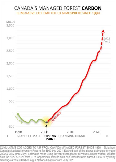
The falling green line on the chart above shows that in the early 1990s, the forest was a valuable carbon sink, helping to slow global warming. Back then, new forest growth absorbed more CO2 from the air than was emitted by logging, wildfire and decay. That all changed after 2001, the tipping point year for Canada's managed forest. As the rising red line on the chart shows, since that year, the forest has emitted more CO2 than it has absorbed. A lot more. Logging, wildfires, insects and the many forms of decay are now turning trees into CO2 faster than the forest can grow back. Chart data provided in Canada's official national greenhouse gas inventory, plus recent wildfire data from the European Union's Earth Observation Program. Report from the National Observer.
As we continued biking southward toward Tadoussac, the health of the forests seemed to improve. We were back in the mountains, and there was less sandy soil and fewer scrubby Jack Pines. The trees were healthier, and the forest was more diverse. There were large deciduous trees mixed among the pines. We were passing through indigenous reservations. Perhaps the reservations managed their forests better? Or maybe the climatic and geographic conditions were more hospitable as we went south?
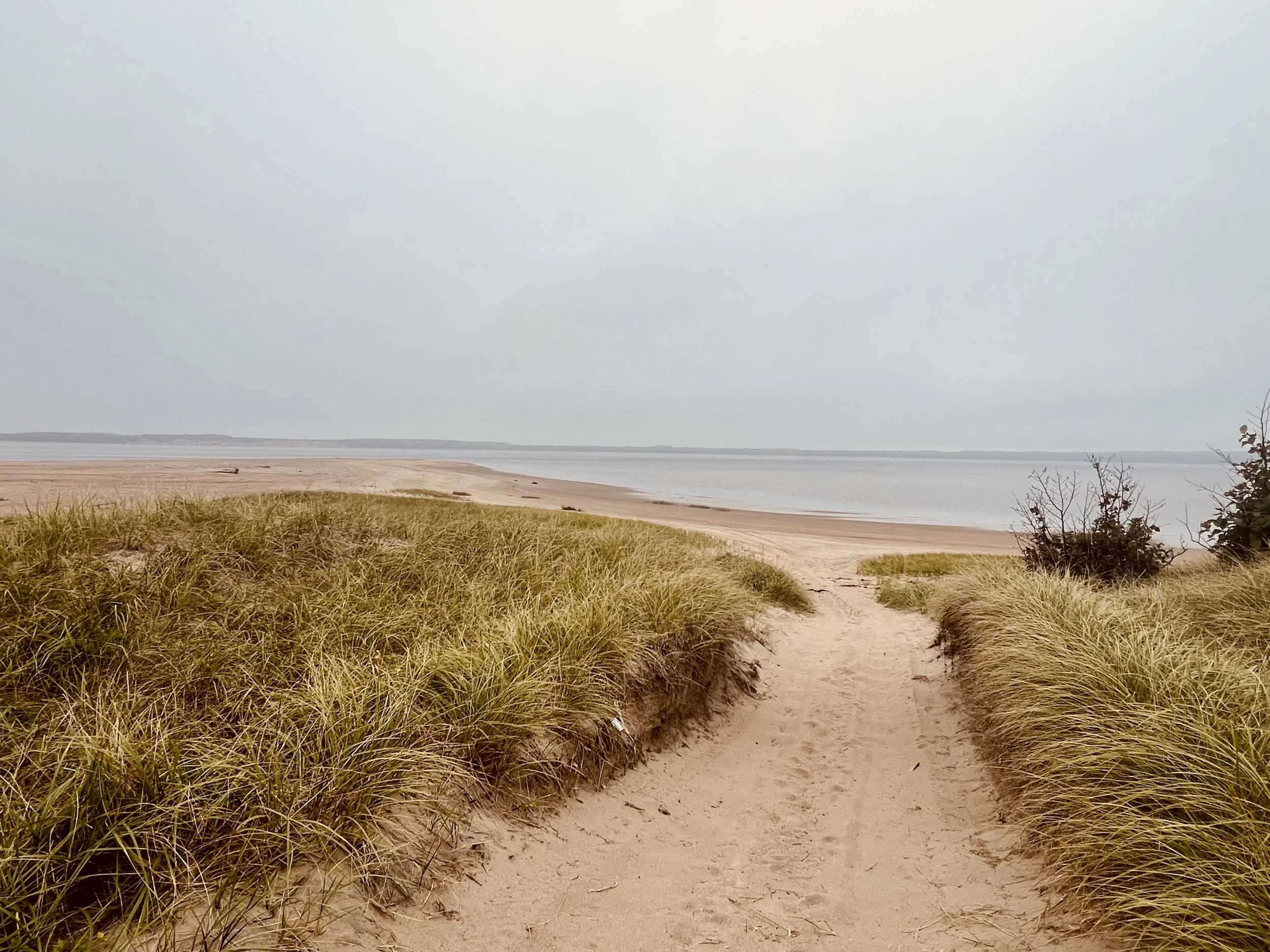
Beach at Pessamit (formerly Betsiamites or Bersimis) is a First Nations reserve and Innu community in the Canadian province of Quebec, located about 50 kilometers southwest of Baie-Comeau along the north shore of the Saint Lawrence River at the mouth of the Betsiamites River. It is across the river directly north of Rimouski, Quebec. It belongs to the Pessamit Innu Band. Photo by Jenny Hershey. Follow her on Instagram @deeofo.
As we approached the town of Tadoussac, we saw that we were also approaching two significant national parks: the Saguenay Fjord National Park and the Saguenay–Saint Lawrence Marine Park. The national park is made up of several hundred miles of forested mountains on both sides of the Saguenay River, and the Marine Park are all the waters that flow from Saguenay to the Saint Lawrence, where the towns of Tadoussac and Baie Saint-Catherine are separated by the Saguenay River and connected by a ferry.
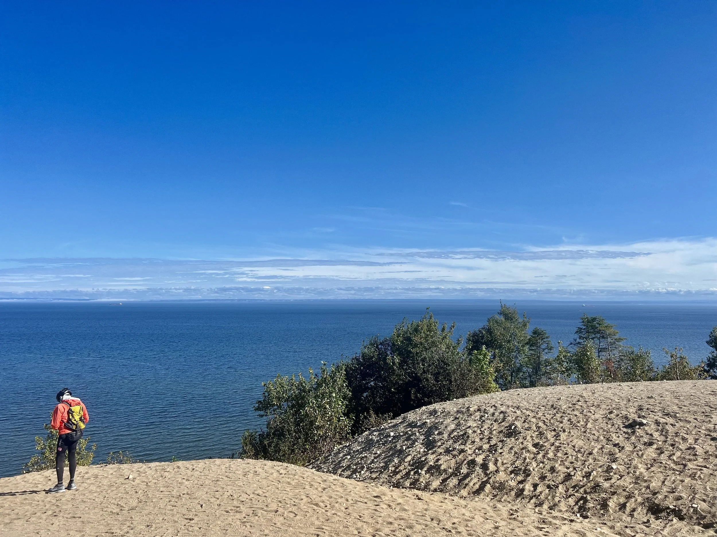
Overlooking the Bay of Saint Lawrence facing toward the Gaspe Peninsula. This view is on dunes just north of Tadoussac, where Jenny and I watched a small school of Fin Whales as they frolicked off the rocky beach. Photo by Jenny Hershey. Follow her on Instagram @deeofo.
Both towns are whale-watching paradises. While the national park is vast and stunning with cliff faces, extraordinary peaks and valleys, beautiful streams, and magnificent fjords, it took us a few days to appreciate the significance of the marine park since it exists on and below the surface of the water. However, the Saguenay-Saint Lawrence Marine Park is one of the most biodiverse marine environments in the world. It is one of the best places in the world for whale watching, as well as seals and sea birds that travel thousands of miles to feed. The park also protects over 2,000 wild species, from microscopic algae to the gigantic blue whale. Above the water, the Fjord National Park is a place of unparalleled scenic beauty.
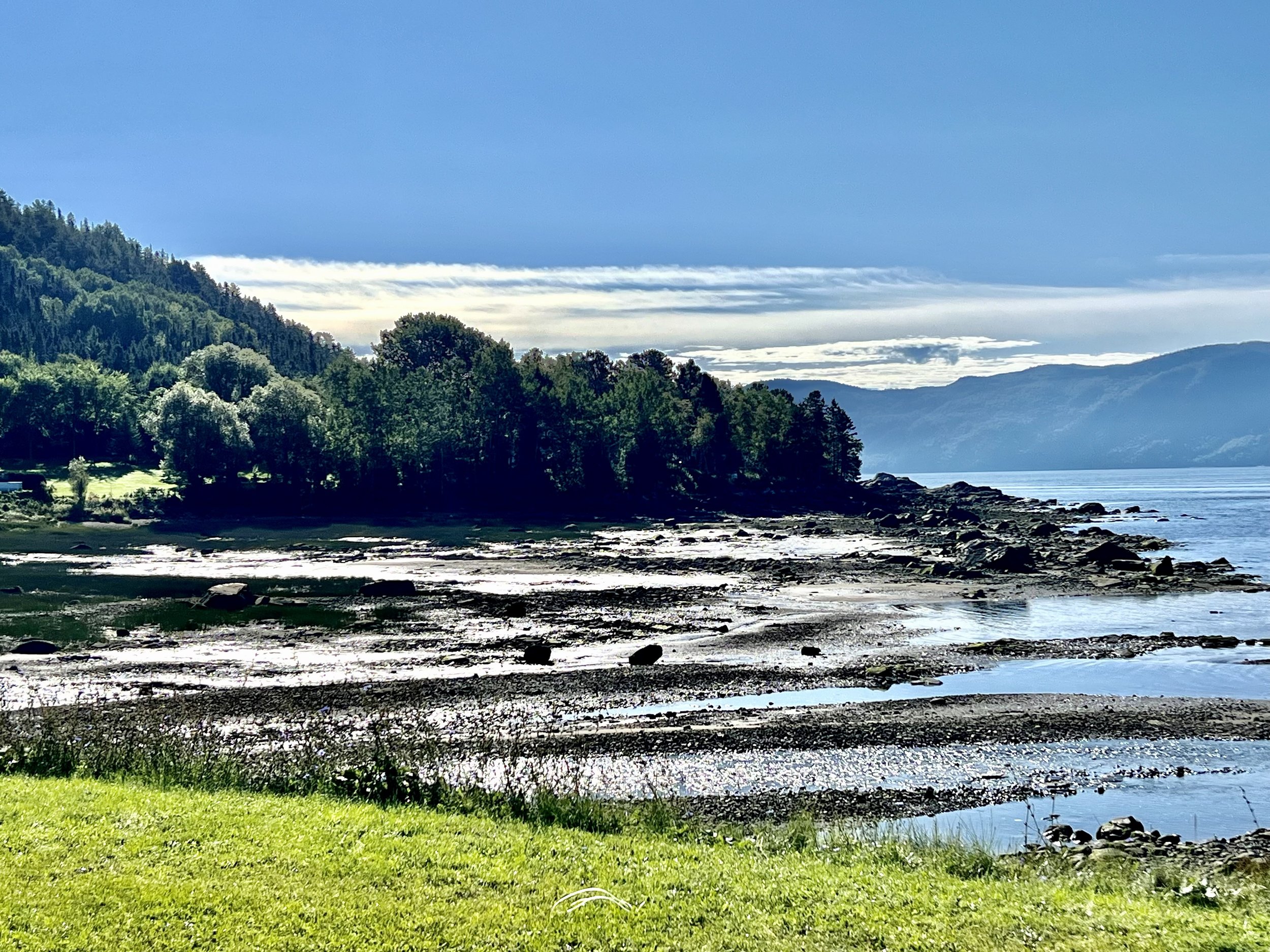
Photo taken about a mile from Saint Rose du Nord at Anse de la Decsente des Femmes, a small fjord on the vast Sagueney-Saint Lawrence Marine Park. Photo by Jenny Hershey. Follow her on Instagram @deeofo.
Some days ago, Jenny and I watched PBS’s Newshour online in a motel in Quebec when we learned that no Republican candidate had raised their hand during the first GOP debate when the candidates were asked who among them thinks climate change is caused by human behavior. We couldn’t watch the debate in Canada, so please forgive us if we are mistaken. If that is true - especially after the torrent of extreme weather events we’ve experienced this year - I’m embarrassed as an American that any person seeking a political office in the US would deny something so well understood by scientists. No other party anywhere in the world rejects the science of climate change as overtly as the GOP. According to a report by the Center for American Progress, 139 members of Congress deny climate science, including 109 representatives and 30 senators.
Canada’s Conservative Party isn’t much better, having recently agreed to remove language from their platform that would have recognized climate change as real. Yet, their party leader, Erin O’Toole, has said he does not want Conservative candidates to be branded as “climate change deniers” in the next election cycle. However, some Canadian conservatives have expressed concerns that such statements will undermine their party’s interests in the oil and gas sector.
Politicians in the States are even friendlier to Big Oil. 85% of political contributions in the States from fossil fuel companies go to Republicans, with the exception of Democrat Joe Manchin, who receives more contributions from the industry than any other Congressional leader in history (he received almost $1M in donations from fossil fuel companies in 2022). That means that contributions to Manchin and Republicans are more than 90% of the total dollars contributed to Congressional Politicians by the fossil fuel industry. And the party is still led by an even more extreme presumptive leader who considers climate change to be a “Chinese hoax.”
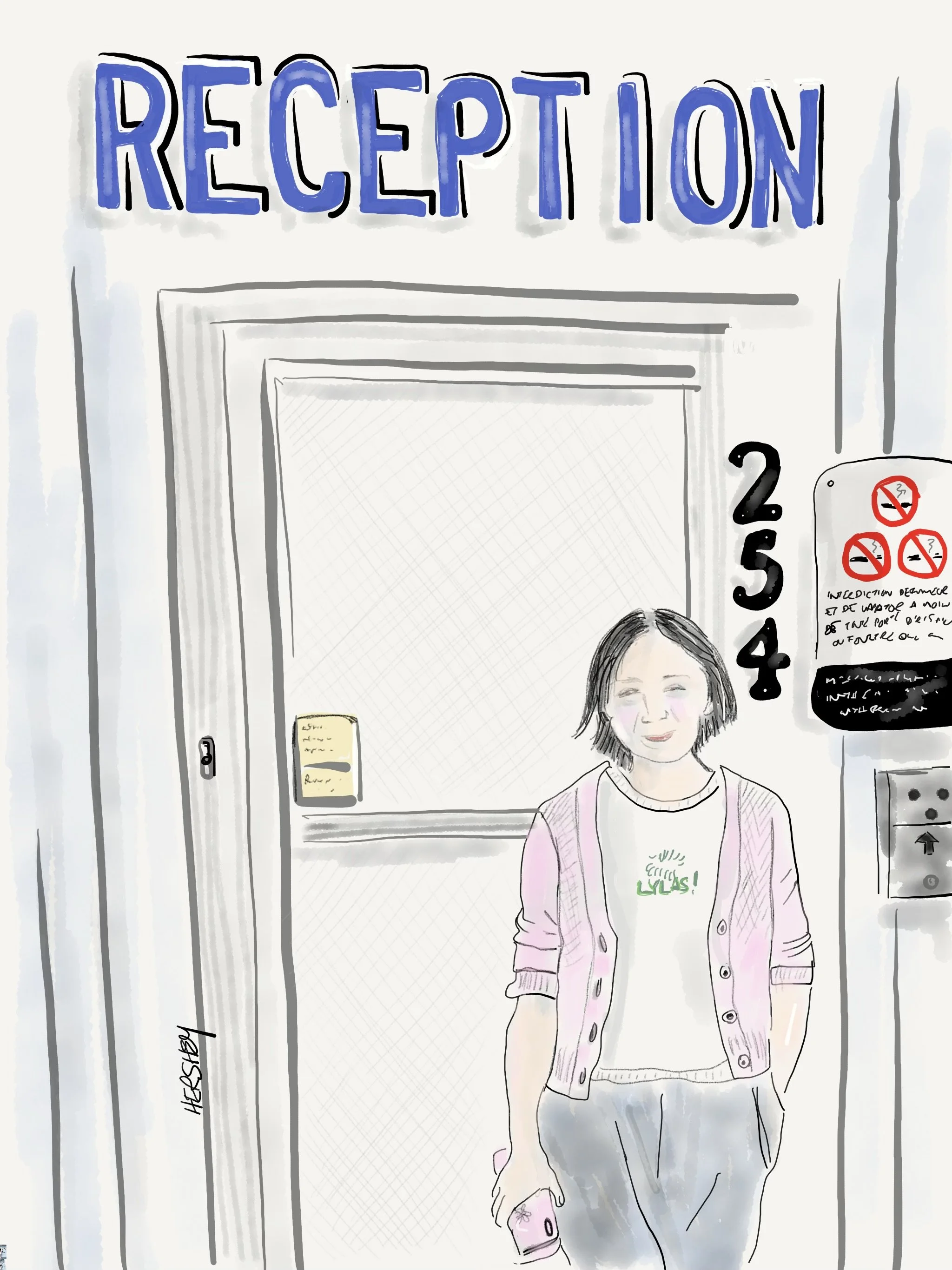
Lily lives between her two motels in Gaspe and Cap-des-Rosiers, Quebec, with her husband, Sparky, and their two young boys, Kevin and Andrew. She and Sparky left their village in China ten years ago after applying to Canadian customs as a skilled worker. Jenny asked her, “What’s your skill?” Lily answered she had been a marketing professor at a college in China. She and Sparky learned French, opened a bodega in Quebec City, and slowly built up their business. One day, a customer came into their store and told them about an opportunity to own a motel in Gaspe at the eastern end of Quebec. Liking what they had heard, they drove hours out to the east end of the Gaspe Peninsula. The rest is history. Lily’s quiet demeanor didn’t fool Jenny. She could see that Lily knew what she was doing. Jenny commended her on being such a good businesswoman. She laughed and said, “Oh no, no, no. I’m a terrible businesswoman.” Drawing by Jenny Hershey. Follow her on Instagram @deeofo.
When you follow the money, there is an indisputable link between climate change denial and contributions to politicians from fossil fuel companies. Climate denial is not about science. It’s about greed. And it has always been about greed. There is now abundant evidence that fossil fuel companies have known for years their product is responsible for climate change. Projections created internally by ExxonMobil starting in the late 1970s on the impact of fossil fuels on climate change were very accurate, even surpassing the predictions of some academic and governmental scientists, according to an analysis published in Science. Despite those forecasts, ExxonMobil continued to sow doubt about the impact of greenhouse gas emissions on climate, successfully waging an obfuscation and disinformation campaign that has slowed down the global effort to decarbonize. ExxonMobil is not alone; these tactics are stubbornly similar for all major multinational fossil fuel companies and have been so for decades. And they are all still at it, although they are now changing their tactics. Major oil and gas companies are learning their lies are not playing well in some court cases and, as a result, are once again willing to admit that fossil fuel emissions cause climate change.
Here’s an example. In September of 2023, ExxonMobil released a cheerful report to their shareholders projecting a vision for how fossil fuels will help to create a more livable and prosperous world for 10 billion people by 2050. The report also tells shareholders that greenhouse gas emissions will drop 25% by 2050 through increases in low-carbon technologies. The report also says, “larger reductions are needed to keep global warming from exceeding 2C, according to the United Nations Intergovernmental Panel on Climate Change (IPCC).” Exxon Mobil makes no pretense in this report that emissions from fossil fuels don’t cause global warming. At the same time, the report completely ignores what climate scientists are telling us about the consequences of surpassing 2C of warming. Although their tactics are changing, the overall objective of fossil fuel companies remains steadfast: selling their product matters more than decarbonizing. In other words, their position directly conflicts with what science tells us we need to do. You can read the report here.
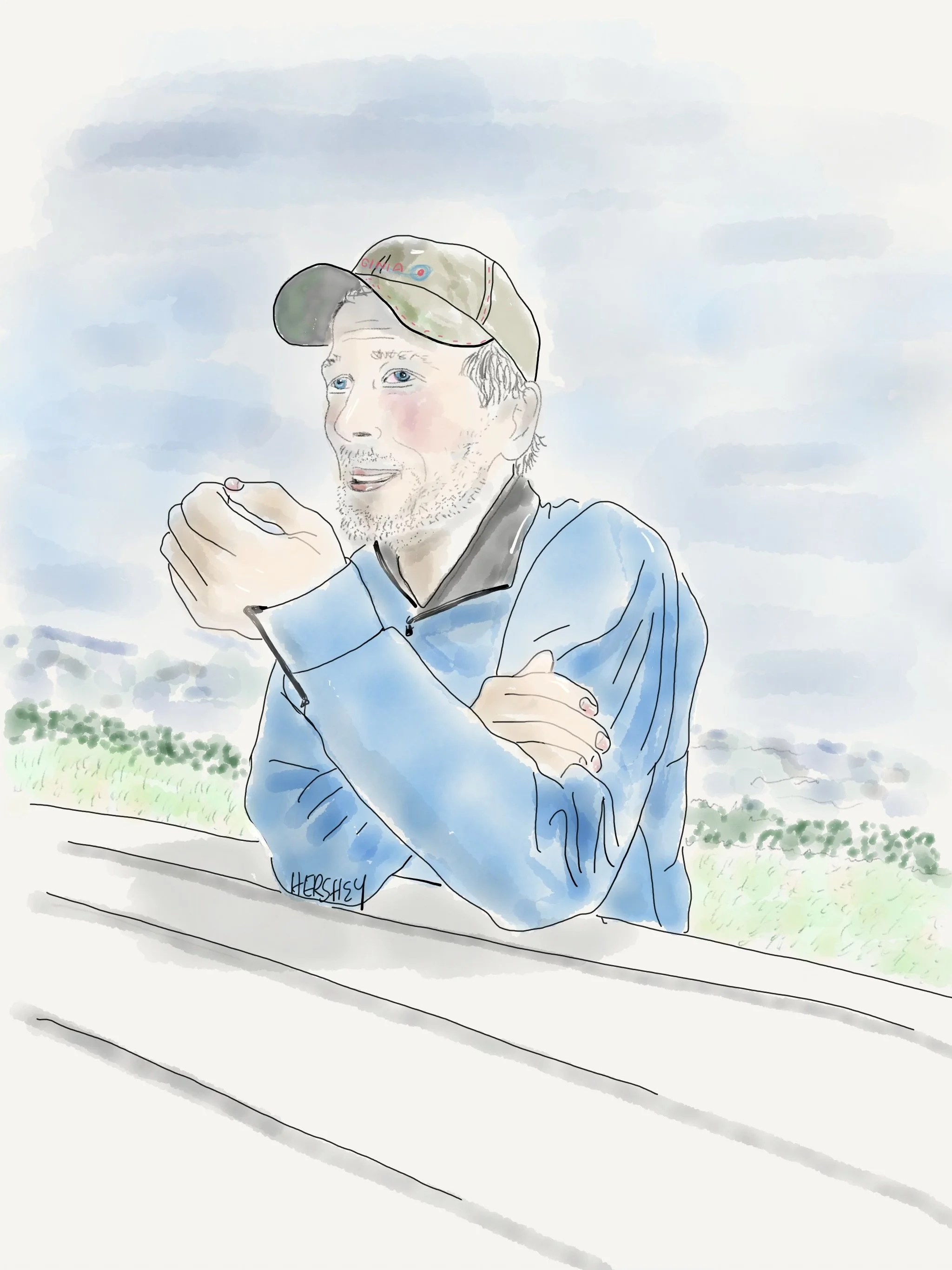
We met Larry at a rest stop in Grande-Valle on our way to the village of Gaspe at the very end of the Gaspe Peninsula. Larry is a strikingly handsome 64-year-old man from Quebec City. He now lives in his van, which he runs on vegetable oil. On the roof was a solar panel. Flashing a charming smile, Larry declined our lunch offer and proudly told us he had caught a striped bass earlier that morning, which he planned on eating momentarily. Although our French is poor and Larry’s English was limited, we talked long enough to realize that Larry is a proponent of the “deep state” resistance common to QAnon followers. We were surprised and almost intrigued by his passion as Larry shared his disbelief in climate change and vaccines, claiming they were creations of a government run by a Cabal pursuing world domination. He claimed there are three kinds of people - globalists (bad guys), technocrats (also bad guys), and nationalists (good guys). He spoke highly of the movie “The Sound Of Freedom” (a true, if not embellished, story about rescuing children from international trafficking that the far right has embraced). Larry explained we must watch it to understand what is really happening. As we were preparing to leave, Jenny asked Larry, “Do you think the earth is flat?” He paused and then answered, “I don’t know.” I am no longer sure what is true and what isn’t.” Drawing by Jenny Hershey. Follow her on Instagram @ deeofo.
I enjoyed meeting Larry. Although I disagreed with almost everything he believed, I liked him for reasons I didn’t entirely understand. And I felt that he liked Jenny and me. In some way that provoked my compassion, I thought he was lost in our dizzyingly complex world. And he said something toward the end of our conversation that persists in my memory: “We need to resist. There are those who want to control us. We can’t let them.” I almost instinctively replied, “Yes, and they are large multinational corporations that control fossil fuels, who buy off the politicians you support, who then tell you ridiculous things you believe that make ordinary people like you and me disagree about who is doing what to whom, even when we both feel we are being done to.”
But I didn’t say that. Yet, at that moment, I felt that QAnon Larry wasn’t my enemy; he was my comrade. His feelings make total sense, even if his facts don’t. He knows something is wrong and can feel it will likely worsen. He is confused and disoriented by how quickly things are changing. Others are telling him the underlying problems, and they seem to know what they are talking about. Some of them are very successful. And their passion and confidence are so attractive. It’s a relief to agree with them. And why not? It’s better than “not knowing.”
Later that evening, I did what many of us do when we want an answer. I searched the internet for something that would help me understand. And I found an article that spoke to the feelings Larry had provoked in me. Suzanne Shelton published an article in 2020 in Greenbiz titled: “If people will believe in QAnon, why won’t they believe in climate change?" Shelton begins by imagining how plausible a QAnon conspiracy pitch might be to a Hollywood Producer: "So, half the politicians in Washington, and many in the entertainment industry, are leading a Satanic cult, kidnapping children and forcing them into a shadowy underworld of sex trafficking. These terrible villains sometimes kill the children to extract their adrenaline to make themselves younger and more powerful. You’re the president of the United States, recruited specifically to run for president so that you can destroy this evil plan. Many people in this terrifying cult will try to stop you — accusing you of courting foreign interference in your election, trying to impeach you, even throwing a pandemic your way. But you will not be stopped!"
I could see Larry’s narrative in the pitch. And, as Suzanne Shelton suggests, I thought maybe - just maybe - Larry would feel just as comfortable over here on our side among those of us who are fighting for a livable planet. Perhaps he’s just been hanging out with the wrong crowd. So what appeals to the feelings of people who believe QAnon conspiracies that climate change activists might be able to appropriate? How might I convert Larry to an evidence-based, scientific understanding of reality that feels emotionally familiar but is actually based on the truth? Shelton suggests three simple ideas that appear to drive conspiracy theorists that might help recruit them to evidence-based conspiracies.
1) Save the children: No matter what one believes politically, we all care about our kids and are wired to look out for them. For QAnon followers, children are threatened by a global cabal of wealthy elites (primarily Jewish, but now a tad more racially diverse) who want to capture them and harvest adrenochrome from their blood (related to adrenaline, adrenochrome is mistakenly thought to enhance longevity). For climate activists, the world’s children are inheriting a climate that will grow so challenging it may tear society apart in the coming decades unless greenhouse gas emissions are reduced very quickly.
2) Evil is real: For QAnon followers, evil is the threat of world domination by influential people who want to subjugate others for their personal gain. The cabal not only wants your children, it wants to dominate you and strip you of your fundamental human freedoms. For climate activists, evil is greed, the ever-present greed of corporations, political leaders, and other powerful people who lie to you about greenhouse gas emissions so they can continue to make money or be supported by the money others make.
3) A clear enemy: For QAnon, it’s the cabal, elites, globalists, socialists, communists, Democrats, and woke people in general. For Climate Activists, it’s fossil fuel companies, corrupt and ignorant politicians, professional climate deniers, and those who otherwise get in the way of the transition to cleaner forms of energy.
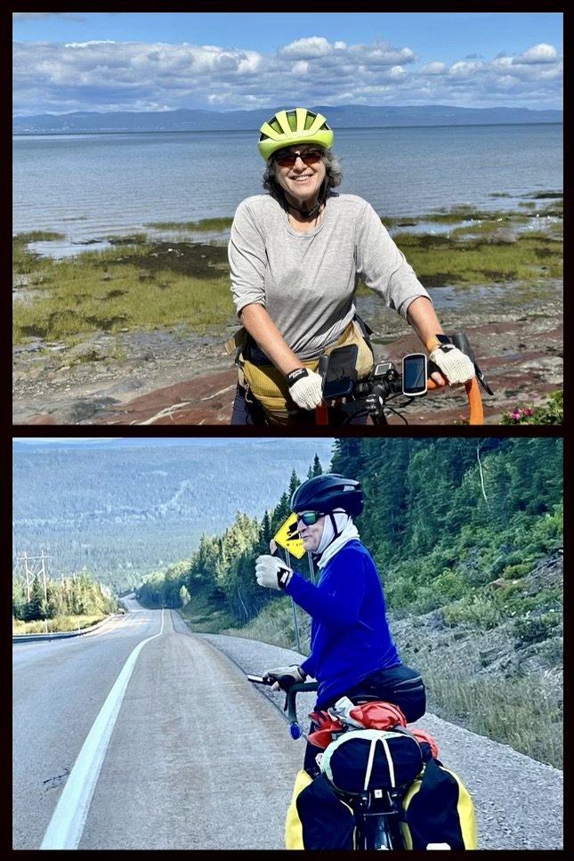
Jenny and Michael on the Gaspe Peninsula. Photos by Michael Chase and Jenny Hershey, respectively. Follow Michael Chase on Instagram @mjohnsonchase and Jenny Hershy on Instagram @deeofo.
The Great Climate Conspiracy
Imagine an alternate reality not too distant from our own, where one conspiracy theory has overtaken all others. It isn't about elections, global elites, or pandemics. Instead, this conspiracy theory revolves around the earth's climate and a cover-up by a powerful cabal of fossil fuel magnates, politicians, and media moguls. For decades, this cabal buried concrete evidence linking greenhouse gas emissions to devastating climatic changes. Documents leaked from prominent oil conglomerates proved that this conspiracy had established the link between fossil fuel consumption and climate degradation as early as three decades earlier. However, instead of acting responsibly, these companies launched massive disinformation campaigns, investing billions of dollars to sow doubt about the science of climate change and keep the global population in the dark. The cabal of fossil fuel executives, media moguls, and corrupt (or just gullible) politicians ensured that environmentally friendly initiatives were undermined at every turn. This vast network of influence allowed the oil and gas industry to suppress vital information and label environmental advocates, sympathetic politicians, and even climate scientists as alarmists, conspirators, communists, or whatever else would discredit them and their efforts.
However, the physical manifestations of climate change eventually became undeniable. Record-breaking heat, hurricanes, typhoons, cyclones, wildfires, droughts, sea level rise, storm surges, melting glaciers, agricultural collapses, climate refugees, the collapse of the insurance industry, a sharp reduction in world GDP, global starvation, and many other forms of suffering began to turn the tide. Unlike the far-right conspiracies of the past three decades in the United States, this theory suddenly gained bipartisan traction. It became a movement. Protests and rallies became daily occurrences in major cities worldwide. The Great Climate Conspiracy overshadowed others because it had the power to unify; it wasn't about left or right but about the survival of the planet and future generations. The demand for a cleaner, sustainable future became the rallying cry against those who had allegedly sought to endanger it for profit. The world finally rolled up its sleeves and got to work building green economies. Eventually, greenhouse gas emissions were controlled and phased out. The planet showed signs it would slowly heal. Interestingly, people were less interested in consumption and more interested in the quality of their lives. They grew happy again.
And they lived happily ever after.
Stay vigilant! Thanks for reading. If you haven’t done so, please subscribe to this blog to follow our next biking trip.
Blog writing by Michael Chase. Drawings by Jenny Hershey. Unless credited or otherwise noted, all material is the copyrighted property of the blog post authors.
Here are a few more photos from our trip:
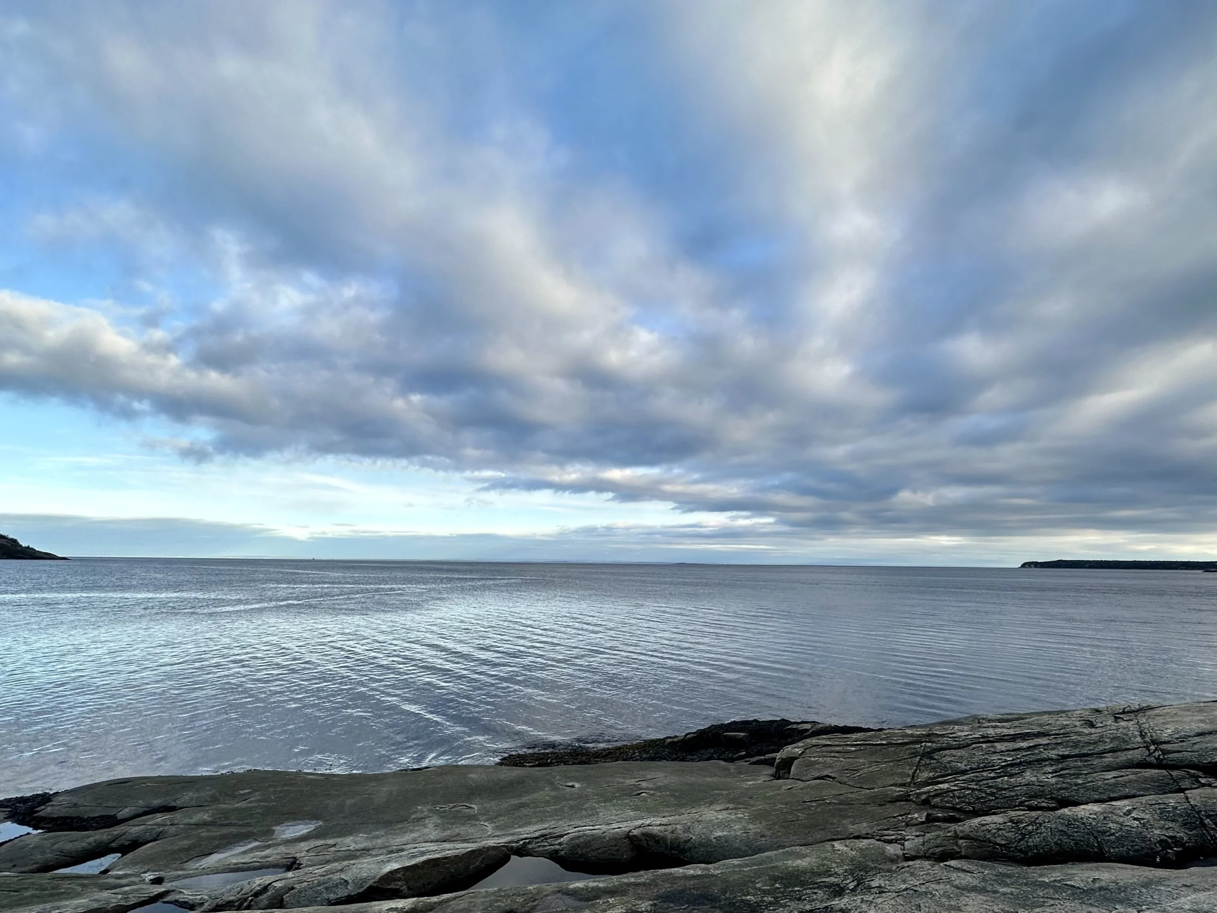
Clouds forming over the Saguenay - Saint Lawrence Marine Park. Photo by Michael Chase. Follow him on Instgram @mjohnsonchase.
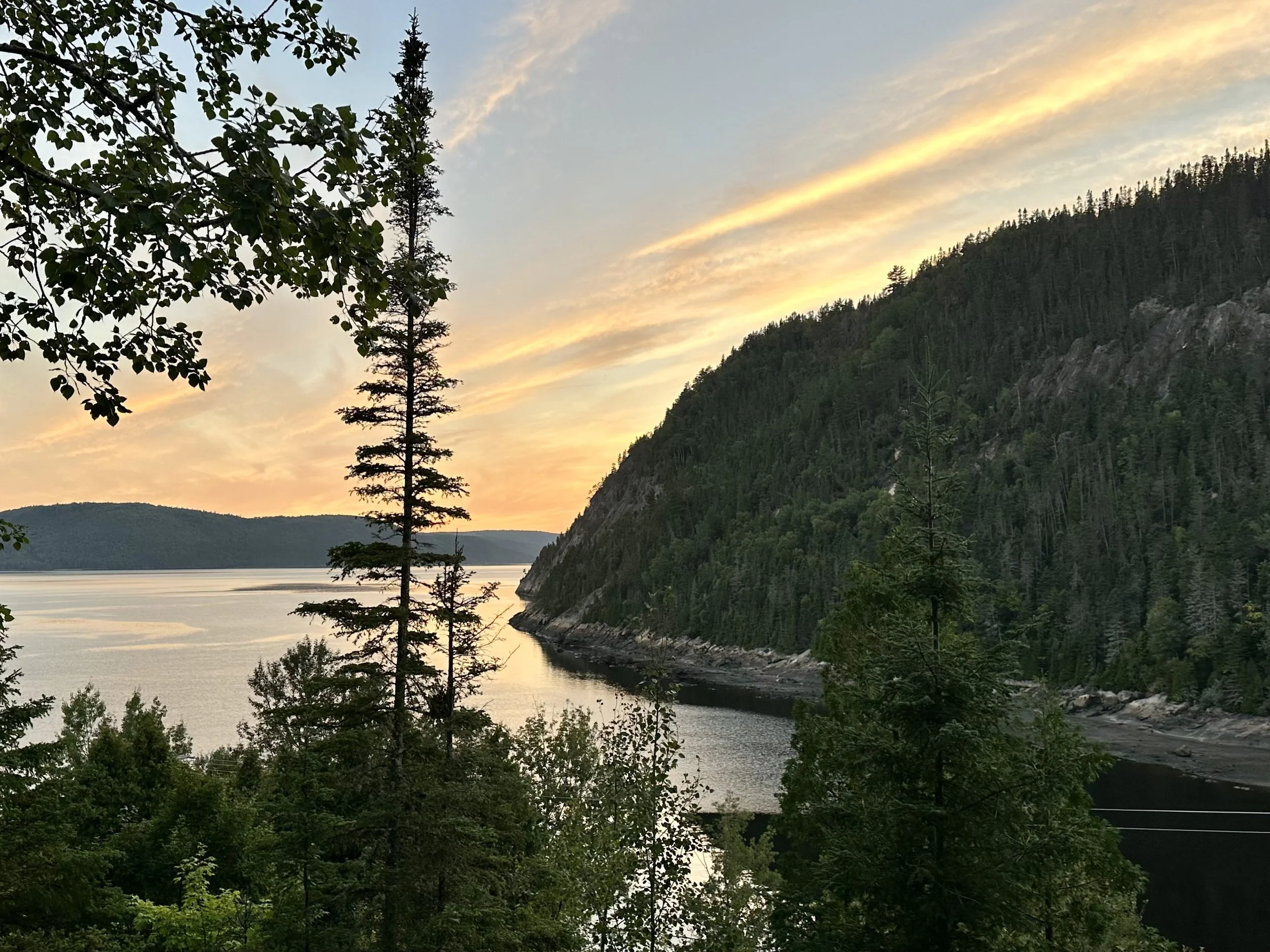
Photo taken from the porch of a yurt we stayed in at Saint Rose du Nord on the Saguenay River. The river below is part of the maritime park, and the hills above are part of the national park. Photo by Michael Chase. Follow him on Instagram @mjonsonchase.
Seen just north of L’Islet, on the Gaspe Peninsula. Photo by Jenny Hershey. Follow her on Instagram @deeofo.
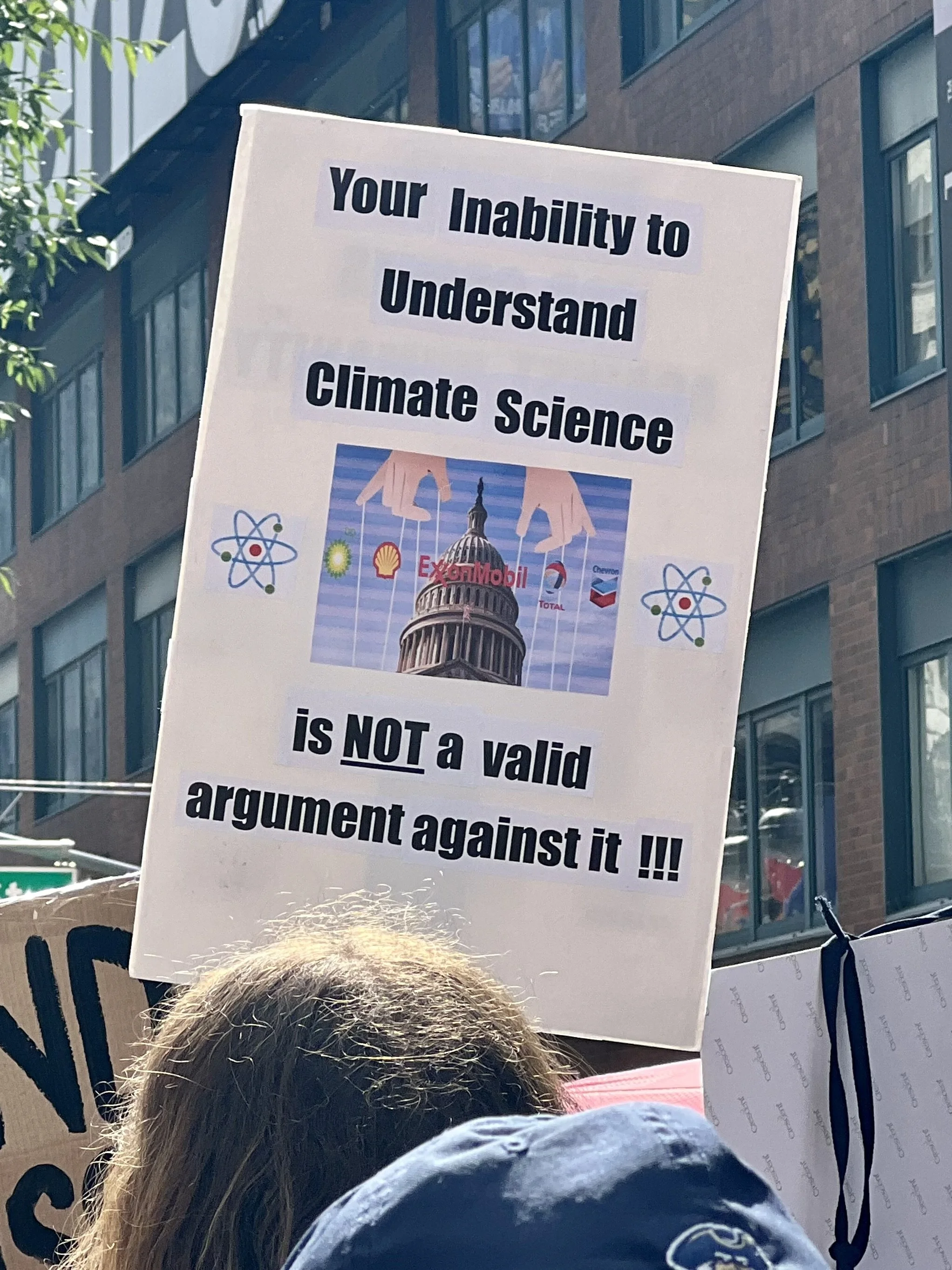
The climate march to the United Nations Plaza in New York City on September 17, 2023. Photo by Jenny Hershey. Follow her on Instagram @deeofo.
Free Markets, Wildfires and Conspiracy Theories; Biking Ontario and Quebec
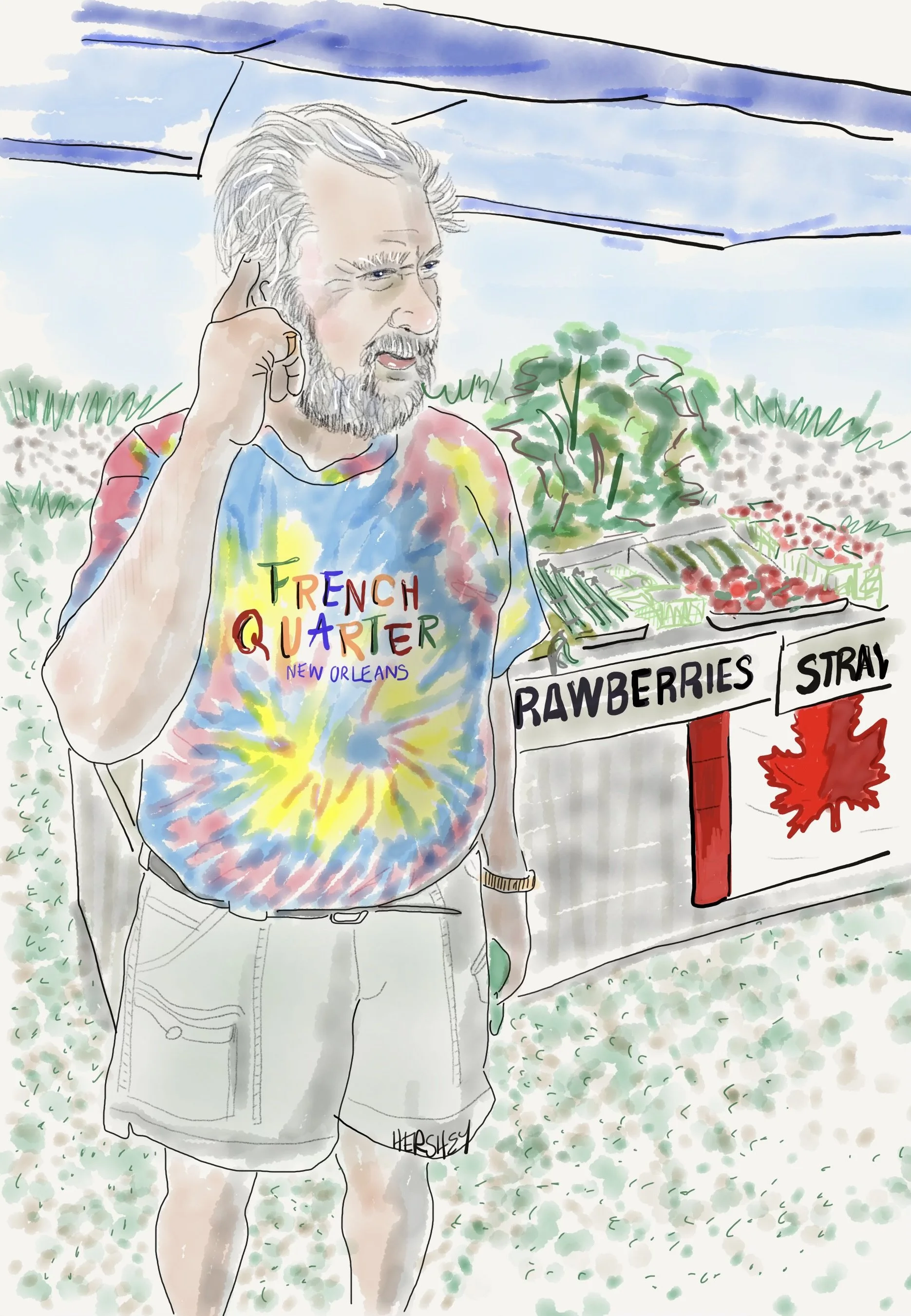
Jenny and I met Dave in Fitzroy Harbor, Ontario. An 80-year-old retired cop from St. Catherine, he was selling organic produce from his garden at a roadside stand. Dave lives alone in a small trailer tending his “Garden of Eden” and described himself as a DP (displaced person). He showed Jenny where a teenager shot off a small chunk of his ear with a buckshot rifle. When we asked him about the wildfires further north, Dave replied without hesitation, “They were set intentionally by the government so they can develop the land up north. It will make them money on property taxes. And it's where they plan on putting all the immigrants.” When we asked him where the immigrants would find jobs if they lived on cleared land up north, he replied, “It’s a socialist country, so they won't work anyway.” He went on, “That's why the government says it's climate change - they blame it on something we can't do anything about, and that's how they get away with it.” Drawing by Jenny Hershey. Follow her work on Instagram @deeofo.
————
Free Markets
“All truth passes through three stages. First, it is ridiculed. Second, it is violently opposed. Third, it is accepted as being self-evident.”
-Arthur Schopenhauer
————
Writing by Michael Chase, Drawings by Jenny Hershey
Jenny and I planned our next cycling tour for late June as we rode the train back to New York City last May from Little Rock, Arkansas (read a post about that trip here). Since neither of us had ever been to Ottawa, and because summer is a great time to cycle in Canada, we decided to ride our bikes northwest around the Adirondacks from Albany into Ontario and Quebec. We had no idea what it would be like, but we guessed it would as interesting as it might be challenging. Of course, we reconsidered when New York City broke air quality records because of wildfires in Ontario and Quebec; but decided to go after learning that poor air quality is as determined by wind currents as it is by proximity to wildfires. Our hunches were accurate, and although we grappled with poor air quality in both Ontario and Quebec, we kept reading it was worse in the States. And, of course, we were aware that many others are also suffering from extreme heat in the American south. It’s been a rough summer all around. Like so many other aspects of climate change, there’s nowhere to hide from increasing weather extremes.
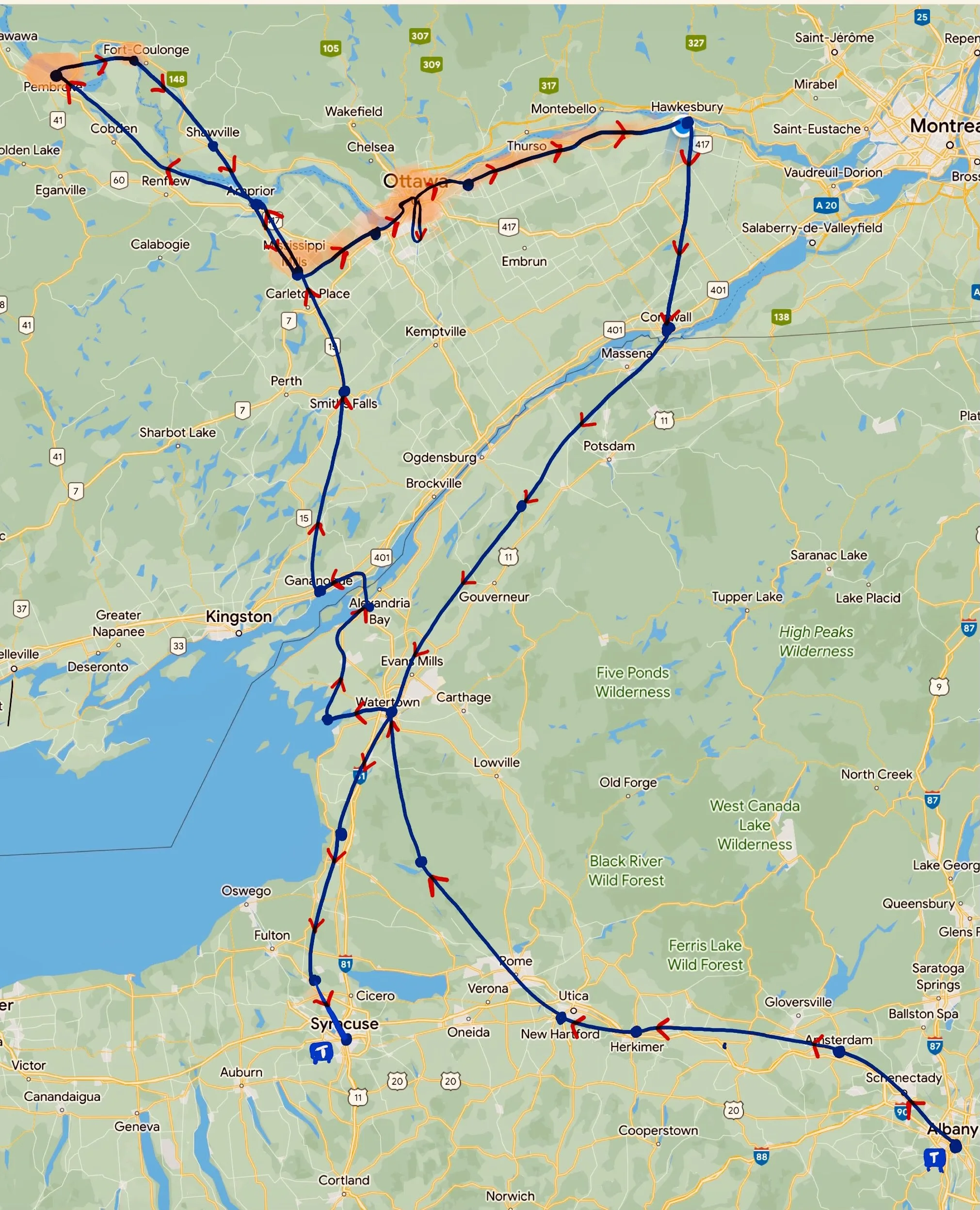
Jenny and I started our trip in Albany after taking Amtrak from NYC. We couldn't ferry into Canada at Cape Vincent because the ferry captain retired during the pandemic, and no one has replaced him. Consequently, we had to ride northeast 30 miles to the Alexandria Bay crossing and walk several miles on a narrow pedestrian walkway on the American side. We then rode illegally across another bridge into Canada from Wellesley Island (no one told us not to at Canadian customs). From there, Jenny and I headed north toward the Ottawa River, hopscotching between Ontario and Quebec. We encountered the worst air quality from the Canadian wildfires in the orange areas. We ended the trip in Syracuse, where we took a train back to NYC. Altogether we biked about 1000 miles. Map drawing by Jenny Hershey. Follow her work on Instagram @deeofo.
Some other things needed to happen before we left. In addition to personal care, home projects, and catching up with friends and family, there was a Citizens Climate Lobby (CCL) conference in early June followed by a day of lobbying Congress in Washington, DC. This was CCL’s first in-person lobbying effort since the pandemic, attended by almost 1000 environmentalists from all over the country. Over 465 visits to both Republican and Democratic members of Congress to lobby for climate policies were made in one well-orchestrated day. I joined small teams of other citizen lobbyists to visit with the staffs of NYC Representatives Nydia Velasquez, Ritchie Torres, Adriano Espaillat and Hakim Jeffries. Although there is predictable resistance to the GOP’s continuing agenda to weaken the National Environmental Policy Act (NEPA) and the GOP’s ongoing support for fossil fuels, CCL lobbyists are now able to argue that market forces overwhelmingly favor clean energy over fossil fuels. The clean energy marketplace has found its groove, and if we trust that open competition in a truly free market will deliver the highest quality products for the lowest possible prices, then clean energy will indeed emerge victorious as long as the playing field is even. Renewables are already cheaper than coal, and will soon be cheaper than natural gas (even without factoring in the social costs of carbon emissions and air pollution). Consequently, Republican insistence that oil and gas deserves greater subsidy support than clean energy (usually in the name of “market based parity”) is a less serious threat to long term decarbonization goals than it has ever been.
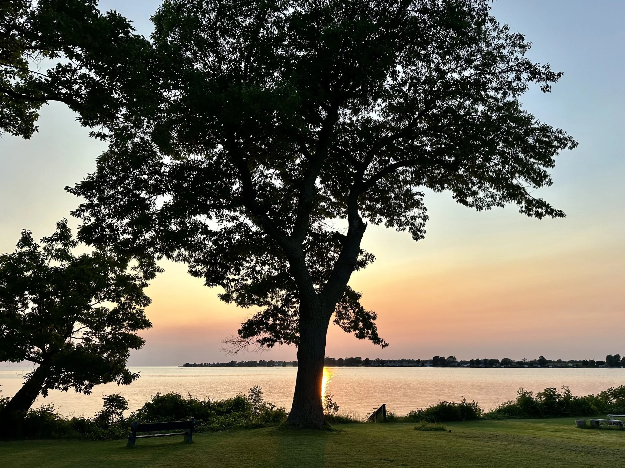
Tree overlooking Lake Ontario. Photo by Michael Chase. Follow him on Instagram @mjohnsonchase.
Consequently, the overriding concern of CCL lobbyists for this year is permitting reform (with a secondary emphasis on CCL’s signature carbon dividend policy with its carbon border adjustments, or CBAM’s). Both issues are heavy lifts in our polarized political atmosphere, although there is a reasonable chance that both parties might come together in the next Congress to pass meaningful legislation. Effective permitting reform will speed up the permitting process for clean energy projects and streamline the buildout of transmission lines. It will also preserve the input of local communities around quality energy projects, provide lasting jobs and ensure the safety and welfare of American citizens. For Republicans, permitting reform will give all energy projects a bump, including carbon capture, utilization and storage (CCUS), hydrogen manufacturing, and even small modular nuclear reactors.
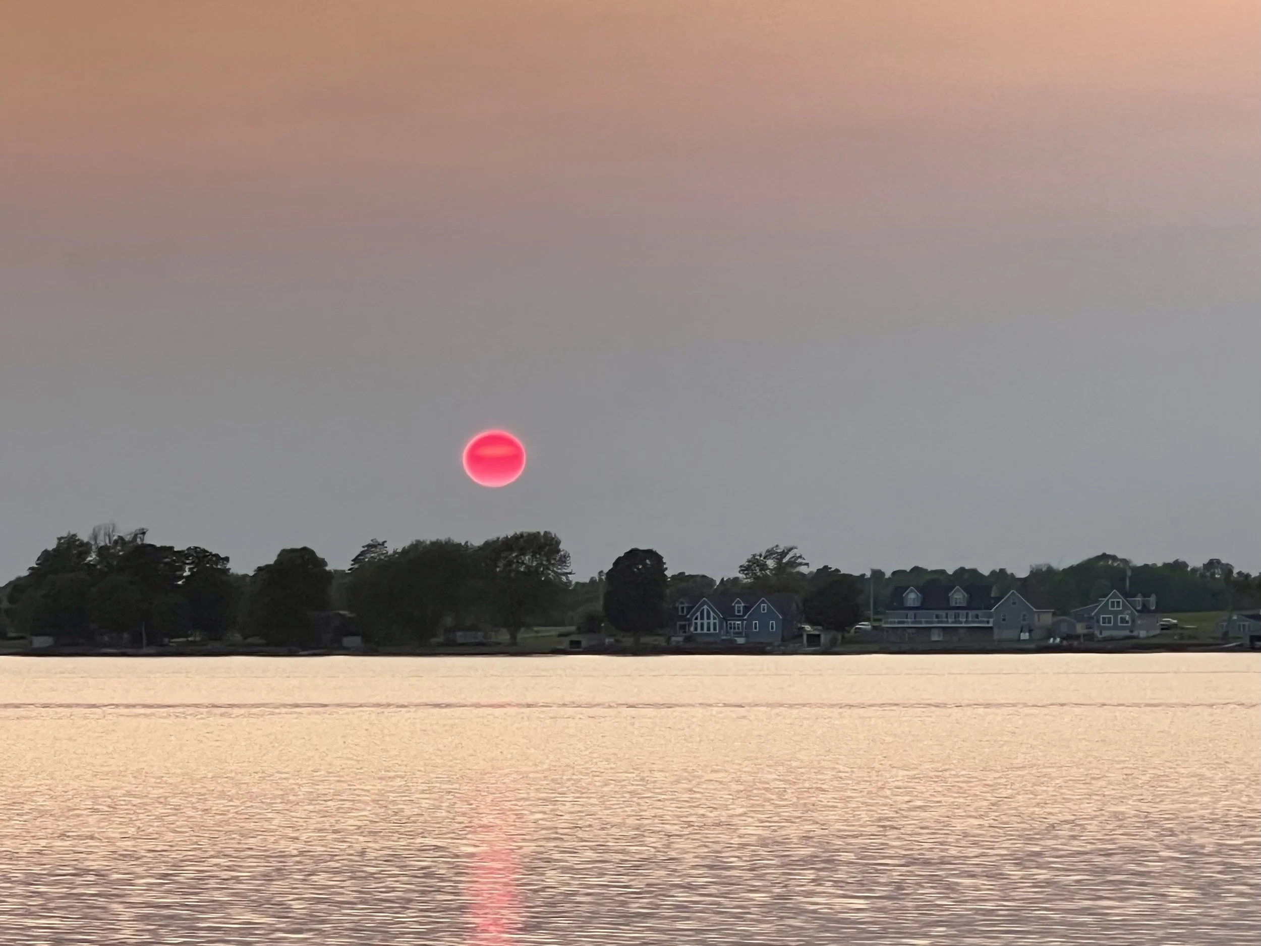
The sun sets over a bay in Lake Ontario in the middle of June south of Cape Vincent, New York, where the headwaters of the St. Lawrence River begin. The sky seemed clear the day we were there, but this picture indicates there might have been some wildfire smoke in the air. Photo by Jenny Hershey. Follow her on Instagram @deeofo.
All combined, electric utility grids in the US currently transmit approximately one Terawatt of electricity every day. Yet, because permitting new projects now takes as long as four years, there is a large backlog of 1.4 Terrawatts of potential energy waiting to be permitted, so we already have the potential capacity to double the amount of electricity available for our rapidly electrifying energy economy over the coming years. And well over 85% of all project applications in the queue are clean energy projects! This means that if ALL the energy projects (meaning fossil fuel and clean energy projects combined) waiting in the queue were green-lighted today, our energy mix will shift so dramatically toward clean energy that we will make significant progress toward decarbonizing our economy.
So, in one sense, there is very little reason anymore to fight over what NOT to build, and environmentalists can relax a bit because the momentum is on our side. What we can’t relax about, however, is advocating for citizen engagement in the permitting reform process. Whether clean or dirty, the siting, scale and development of new energy projects and transmission lines may result in public health and environmental injustices, eminent domain conflicts, and biodiversity losses and degradation. Local communities should be closely involved in reviews, revisions, and approvals wherever necessary. It’s also time for wealthier communities to step away from historic forms of “not in my backyard” (NIMBY-ism) and accept solar farms, windmills, transmission lines (and even CO2 pipelines and underground storage) into their own neighborhoods. In every way - both good and bad - it’s important for the impacts of the next great energy revolution to be shared equally.
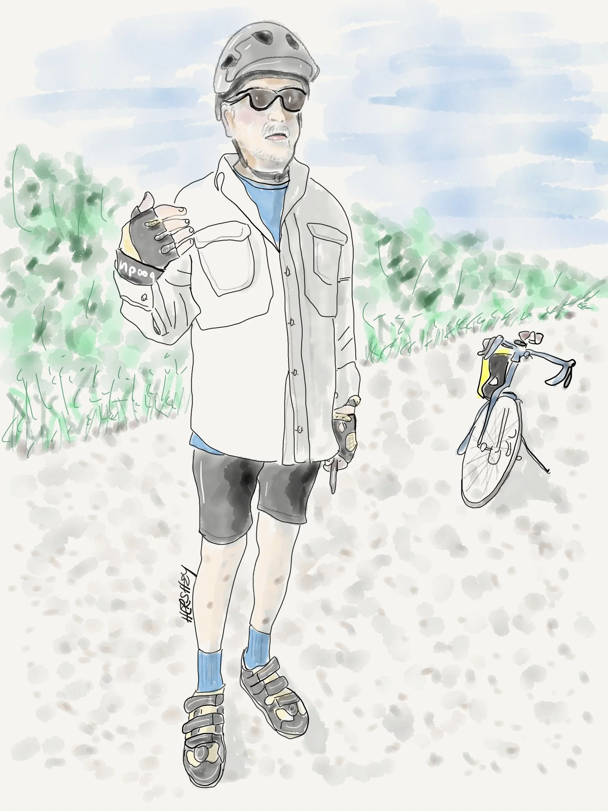
Jeff Mills is a resident of Lanark County in Ontario, Canada. We met him while biking on the Ottawa Valley Recreational Trail (OVRT). A lifelong community developer, Jeff helps to create great biking infrastructure in Lanark and Renfrew Counties. He (and his colleagues) envision a system of rail-trails similar to the Greater Allegheny Passage (GAP Trail) that runs from Pittsburgh, PA to Cumberland, MD. The hope is to create a bicycling destination with global appeal that will help revitalize small communities in northeastern Ontario. Between the OVRT and the Algonquin Trail, they have an excellent start! We were lucky enough to spend a wonderful evening at Jeff’s beautiful home with his lovely wife Gillian and his friends Chandler and Mike. Drawing by Jenny Hershey. Follow her on Instagram @ deepfo.
That isn’t to say that the oil and gas lobby, and the politicians in their pockets, won’t engage in mind-boggling attempts to stop that momentum. Republican politicians in some red states are seeing clean energy handwriting on the wall, and they don’t like it. In fact, the legislatures in both Texas and Florida have recently tried to stop the growth of clean energy projects in their states. Thankfully, because investments in clean energy in both states are so strong (and led by many registered Republicans), the Chambers of Commerce and other business groups, local municipalities, environmentalists, public health advocates and investors have prevailed in their fight against these legislatures to preserve the workings of the free market. It isn’t hard to understand why. According to research by Energy Innovation as reported by David Wallace-Wells in a recent New York Times Op Ed, green energy tax credits in the Inflation Reduction Act are poised to create more than 100,000 jobs in Texas alone by 2030 — which would add more than $15 billion to the state economy over that time. And similar gains are estimated in Florida, where Energy Innovation projects more than 85,000 new jobs and $10 billion in state G.D.P. gains by 2030.
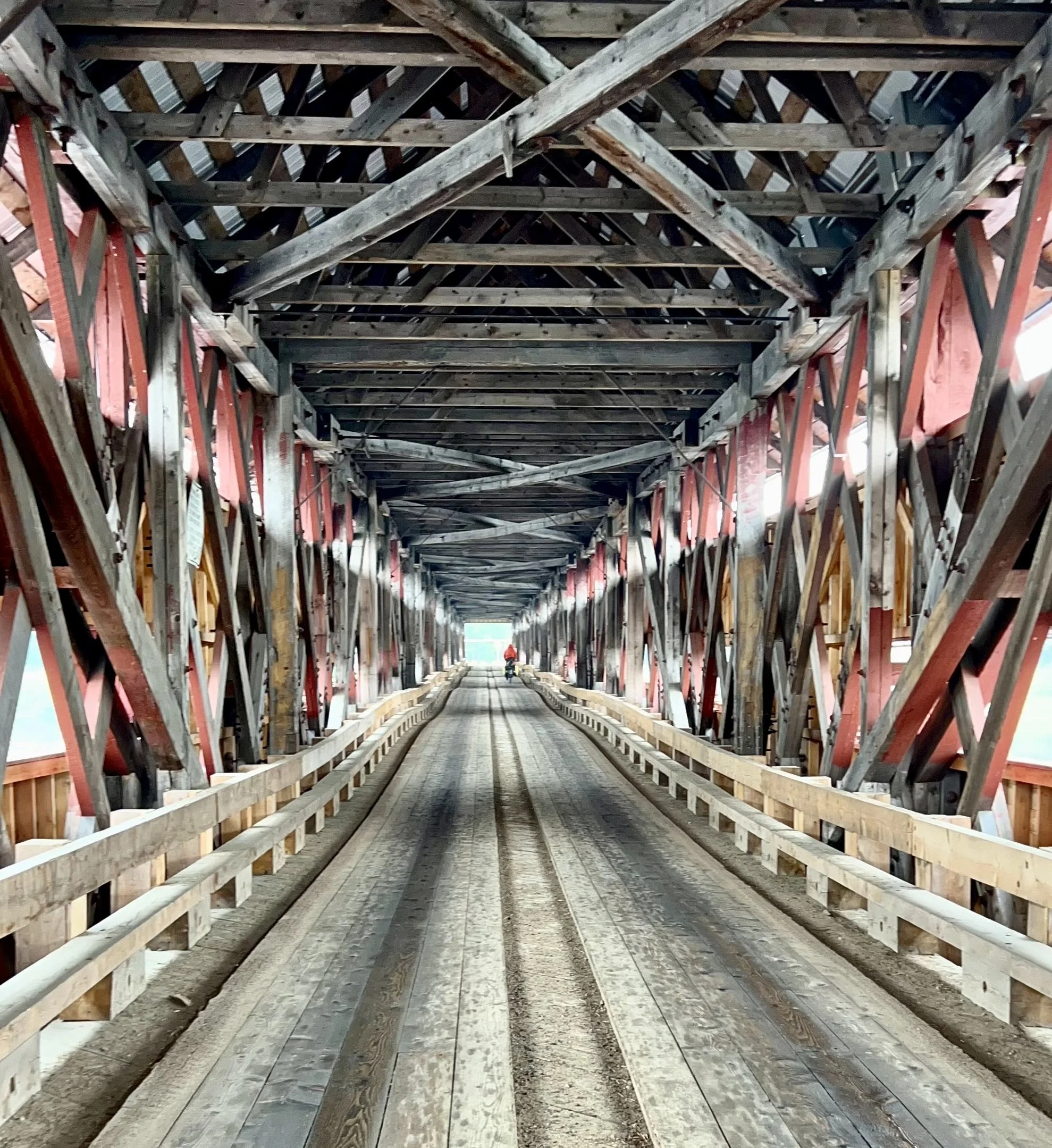
Michael bikes across a covered bridge in Mansfield et Pontefract, Quebec. Photo by Jenny Hershey. Follow her on Instagram @ deeofo.
But it’s not just a couple of red states that are being forced to capitulate to the self-evidence of market forces. Other parts of the world are willing to get serious about the energy transition, as well. China remains focused on cornering the huge new clean energy market, with ever-more massive investments in electric vehicle production, battery technology, wind turbines and solar panels. Europe continues to aggressively wean itself off both oil (through electric vehicle mandates) and Russian gas imports (through energy conservation and the rapid deployment of renewables). Canada established a price on carbon several years ago to incentivize clean energy development. Currently, 90% of the revenue from a federal fuel charge goes directly back to households through the climate action incentive payment (CAIP). This is a tax-free benefit the government pays back to citizens to help offset the cost of carbon pricing. The average household gets back more than they’ve paid into the system. Only higher income households pay more than they get back because they tend to use more fossil fuels.
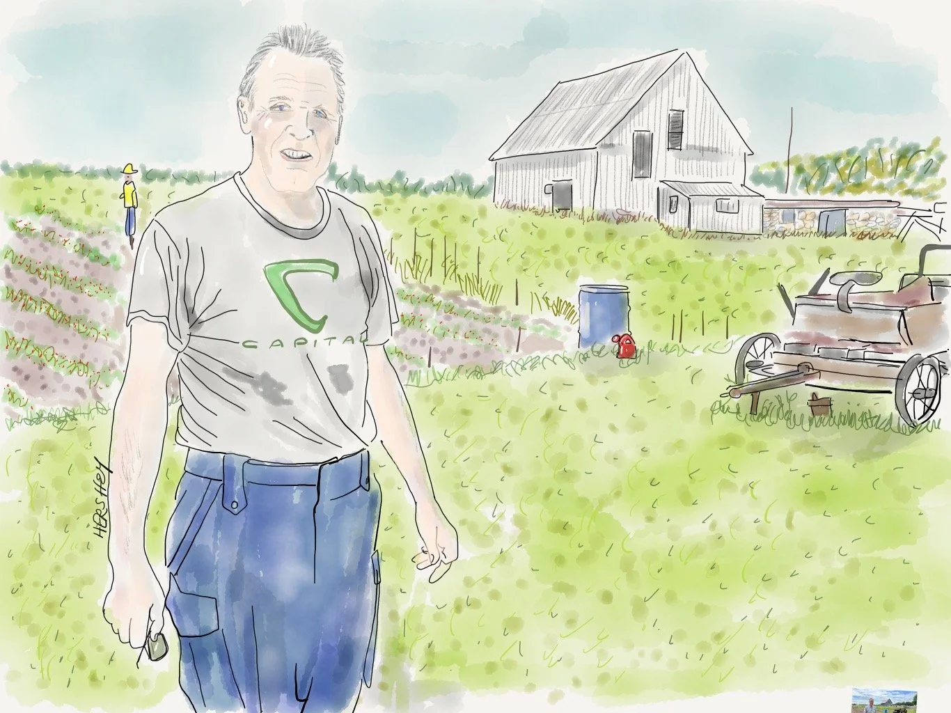
Al is a retired policeman from Ottawa. We met him in Renfrew while he was tending his garden. He was eager to chat and showed us a stone house from 1865 he had purchased from a family that had acquired homesteading land from the Crown seven generations earlier. Al was proud of his antique collection. Eventually we asked about the wildfires. He believes the fires were most likely started by carelessness, and maybe some lightening. He hedged about the climate but eventually agreed with us the climate is changing. A very friendly guy, Al sent us off with a classic milk bottle and a horseshoe for luck (both somewhat challenging to carry on our bikes, but he was insistent). Michael gave the milk bottle away to our host Jeff Mills, and Jenny left the horseshoe at a farm stand with a couple of Mennonite boys, telling them it might bring good luck. Their father quickly corrected Jenny, saying Mennonites don't believe in luck. But the boys kept the horseshoe anyway. Drawing by Jenny Hershey. Follow her on Instagram @deeofo.
So for all the reasons above, Democrats and other environmentalists in the States don’t need to worry as much about opposing fossil fuel projects as they need to be thinking about getting stuff built, not only to address climate but to keep our economy strong. Yet make no mistake; building out clean energy projects in the United Sates and getting that energy to residents and industries won’t be an easy task, even if that energy is already cheaper and cleaner than fossil fuels. Without a serious effort to streamline permitting and double the size of our utility grid over the next decade (while effectively engaging communities in decision making), we may fail to accomplish up to 80% of the decarbonization goals of the Inflation Reduction Act (IRA).
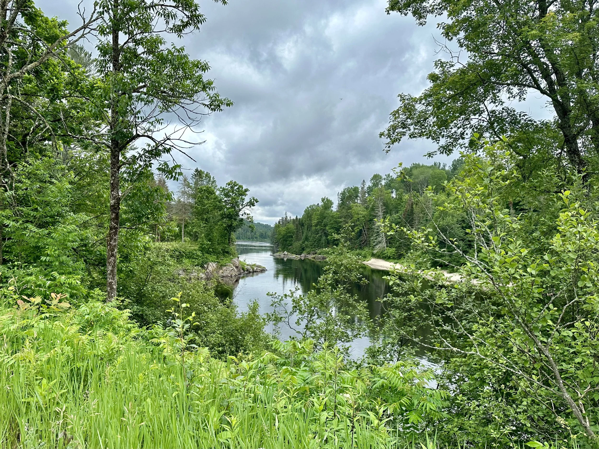
This photo was taken northwest of Fort Coulonge, Quebec, on an unpaved road called the Chemin du Bois Franc. The road extends north for more than a hundred kilometers and is one of many rugged routes into Quebec’s boreal forest. Although we weren't able to ride north on this road for more than about 20 kilometers we felt like we got a small taste of the forest. It was humid, extremely buggy, and although we were told it was unusually dry, we saw water everywhere. Not only is Canada’s boreal forest rich with trees that sequester huge amounts of carbon, it is also home to one of the most significant stores of fresh water on the planet. Photo by Michael Chase. Follow him on Instagram @mjohnsonchase.
————
Wildfires and Conspiracy Theories
“No amount of evidence will ever persuade an idiot.”
-Mark Twain
————
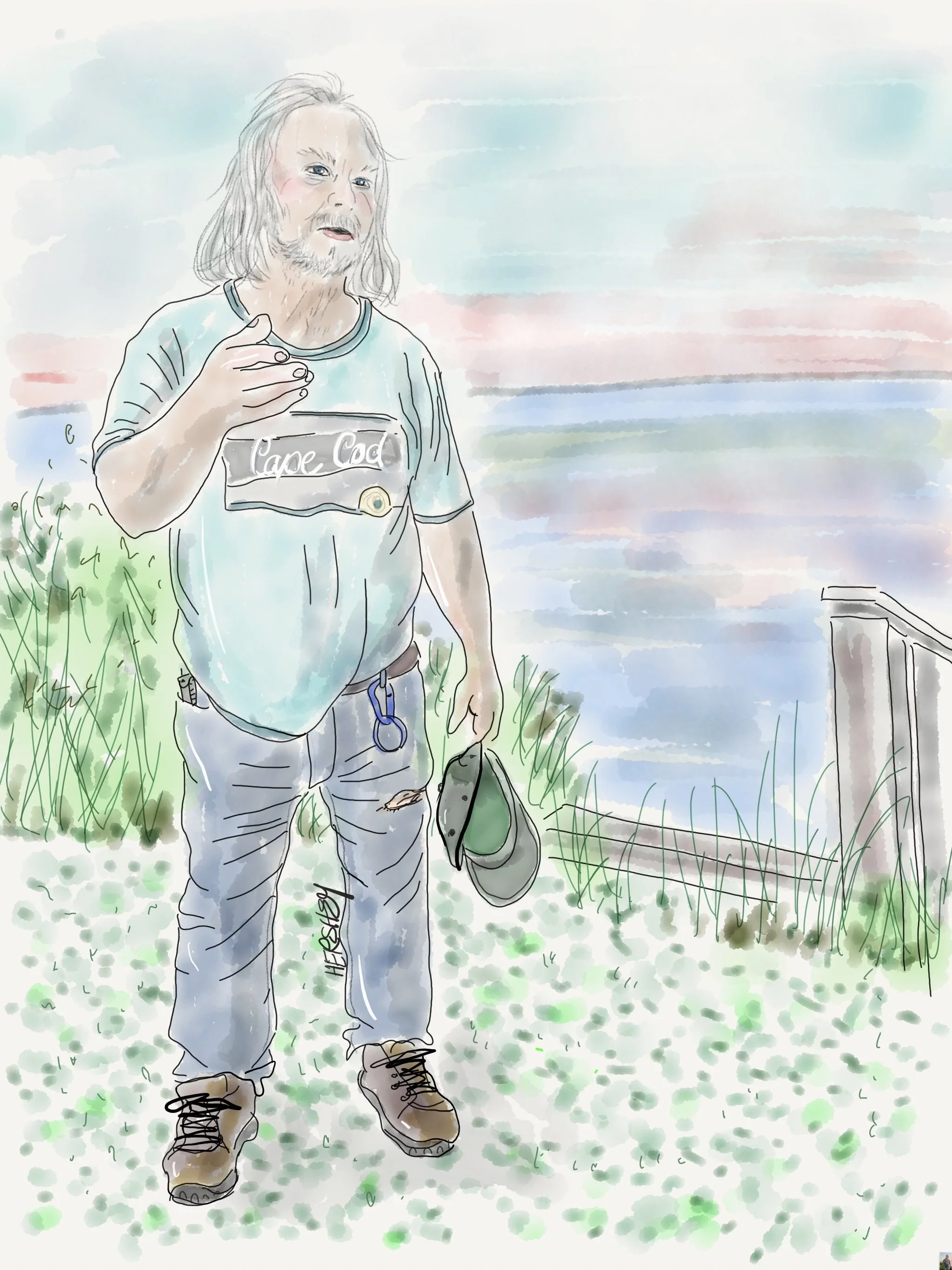
We met “Andy” and his wife “Carol” in Cape Vincent, NY. “Carol” invited us down to the Lake Ontario shoreline to share a sunset made even more intense by wildfire smoke drifting toward us from Quebec. As we talked, “Andy” began to share thoughts about how a group of elites from around the world are plotting to eliminate individual liberties to impose a dictatorial, one-world government. He threw out some names: Klaus Schwab, Rothschild, Mayer, Zuckerberg, Bill Gates…. We were curious and a bit uneasy. So, later in the evening Jenny and I did an internet search. “Andy’s” searches probably go directly to “The Great Reset Conspiracy” attributed to the World Economic Forum (WEF); a conspiracy of world control by a select few through Covid mandates, climate lockdowns, space lasers, and ecoterrorism. “Andy” may assume everyone else will find the same information if they bother to look. But that’s a danger of the internet and misinformation. Search engines learn how to show you results you are most likely to like to maximize your eyeballs on associated advertising. Consequently, whatever information we encounter online, we curate online through our own interests and biases. So, Jenny and I had to do some digging. Apparently “Andy” didn’t notice the Star of David around Jenny’s neck; in any case, she didn’t sleep well that evening. Drawing by Jenny Hershey. Follow her on Instagram @deeofo.
As we are all too aware, Canadian wildfires have been burning for weeks. Research shows that record heat and drought creates earlier starts to every season (with this year breaking all records), resulting in wildfire activity that is longer-lasting and more intense. Caused by a mix of human activity (carelessness and arson), and lightning, it is clear that climate change affects the local conditions and fuel available for these fires to spread, as do the decades of fire suppression techniques that have contributed to unnaturally dense forest environments.
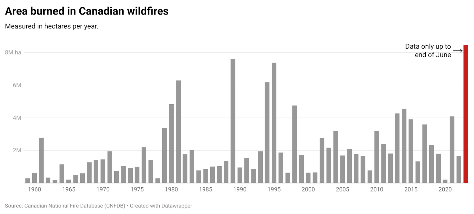
This simple bar graph indicates that by the end of June of this year, a greater percentage of hectares have already burned in Canada than any year since records have been kept. Some news outlets argue that climate change isn't the cause of wildfires because the number of annual fires has been decreasing. However, they all ignore the sheer size and destructive nature of the current fires.
New Yorkers won’t soon forget what the air quality was like on June 7th, 2023. At its peak in the afternoon, the air quality index (AQI) for the city reached 405 out of 500; the highest since records began, according to an analysis of the Environmental Protection Agency (EPA). While we have been biking in Canada over the month of June, over 400 wildfires have continued to drive air quality indexes to record levels in many cities across the eastern seaboard and the midwest. Air quality has been equally poor in Canada. Yesterday (7/2/23), four of the five cities with the worst air quality in the world were in North America. New York City had the second-worst air quality in the world with a recorded air quality index of 162, lagging only behind Jakarta. Toronto and Montreal ranked 3rd and 4th, reporting AQI’s of 155 and 153, respectively. The fifth-ranked city, Washington, D.C., is hundreds of miles away from where Canadian wildfires continue to rage. There, air quality was slightly better than the other three North American cities on the list, with an AQI of 122.
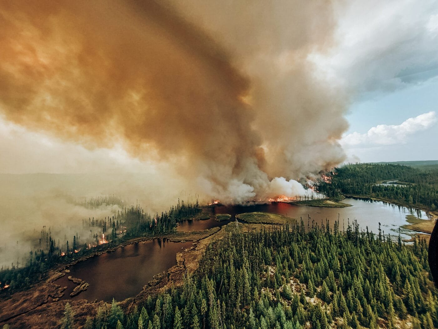
Almost 40 per cent of Canada’s 2023 wildfires have been in Quebec, threatening to evacuate more than 15,000 people. Photo: Société de protection des forêts contre le feu; as seen in The Narwhal.
Ten percent of the world’s forests rise up from Canadian soil, and increasingly those forests look poised to burn as our atmosphere grows warmer. Consider the following passage from a poetic and startling new book by John Vaillant called Fire Weather: “Girdling the Northern Hemisphere in a circumpolar band, the boreal forest is the largest terrestrial ecosystem, comprising almost a third of the planet’s total forest area (more than 6 million square miles—larger than all fifty U.S. states). Fully a third of Canada is covered by boreal forest. Continuing west, over the Rocky Mountains, through British Columbia, the Yukon, Alaska, and across the Bering Strait into Russia (where it is known as the taiga), the boreal forest stretches all the way to Scandinavia and then makes landfall on Iceland before picking up again in Newfoundland and continuing westward to complete the circle. It is a green wreath crowning the globe. This colossal biome stores as much, if not more, carbon than all tropical forests combined and, when it burns, it goes off like a carbon bomb. Under the right conditions, a big boreal fire can come on like the end of the world, roaring and unstoppable. These are fires that can burn thousands of square miles of forest along with everything in it, and still be out of control.”
The scale is hard to get my head around. You may feel the same. And if that wasn't sobering enough, here's another important milestone; fires across Canada this year have ALREADY generated nearly 600 million tons of CO2, which is equivalent to 88% of Canada’s total greenhouse gas emissions from all sources in 2021. More than half of that carbon pollution went up in wildfire smoke in June alone. And the fire season here is only beginning.

Jenny (left) and Chandler Swain. We met Chandler at our dinner with Jeff and Gillian Mills. Chandler is a master potter, artist, environmental activist and communications director for the Climate Network in Lanark County, Ontario. Although Jenny rarely draws herself, she felt a strong bond with Chandler, whose enthusiasm, tenacity and buoyant energy is infectious. Chandler’s passion for environmental work has led her to write about network initiatives for the local online paper, The Humm. Her personal website can be found here. Drawing by Jenny Hershey. Follow her work on Instagram @deeofo.
And the causes of the fires? Well, as we discovered through our conversations with some Canadians (but not all, thankfully), blaming wildfires on the unusually hot and dry conditions resulting from a gradually warming world brought on by 250 years of unrelenting greenhouse gas emissions is, well, a bit too convenient. After all, why buy into dry weather that makes human carelessness or lightning strikes the reason (but not the root cause) when you can believe in something far less complex? Stew Peters, the same man who made a film claiming that Covid-19 is caused by synthetic snake venom, blamed the Canadian wildfires on Directed Energy Weapons on June 5th of this year. Apparently he sent out a TikTok video with visuals that made southeast Quebec appear as though hundreds of locations were catching on fire at the same time. This allowed him to claim that “our governments” are targeting their own forests for nefarious reasons.
I'm not sure if Directed Energy Weapons (DEWs) are related to the infamous Jewish Space Lasers that Congressional Representative Marjorie Taylor Greene previously implicated in a wildfire outbreak, but it's clear her theory is followed. Here it is on Donald Trump’s Truth Social. According to the Congresswoman, forests don’t catch fire simply because they are extraordinarily hot and dry. Representative Greene claimed the blazes had been started by PG&E in conjunction with the Rothschilds, by using a space laser to clear room for a high-speed rail project. Really, one cannot make this stuff up. For those of you who don’t believe me, you can read Greene’s entire post here on Media Matters.
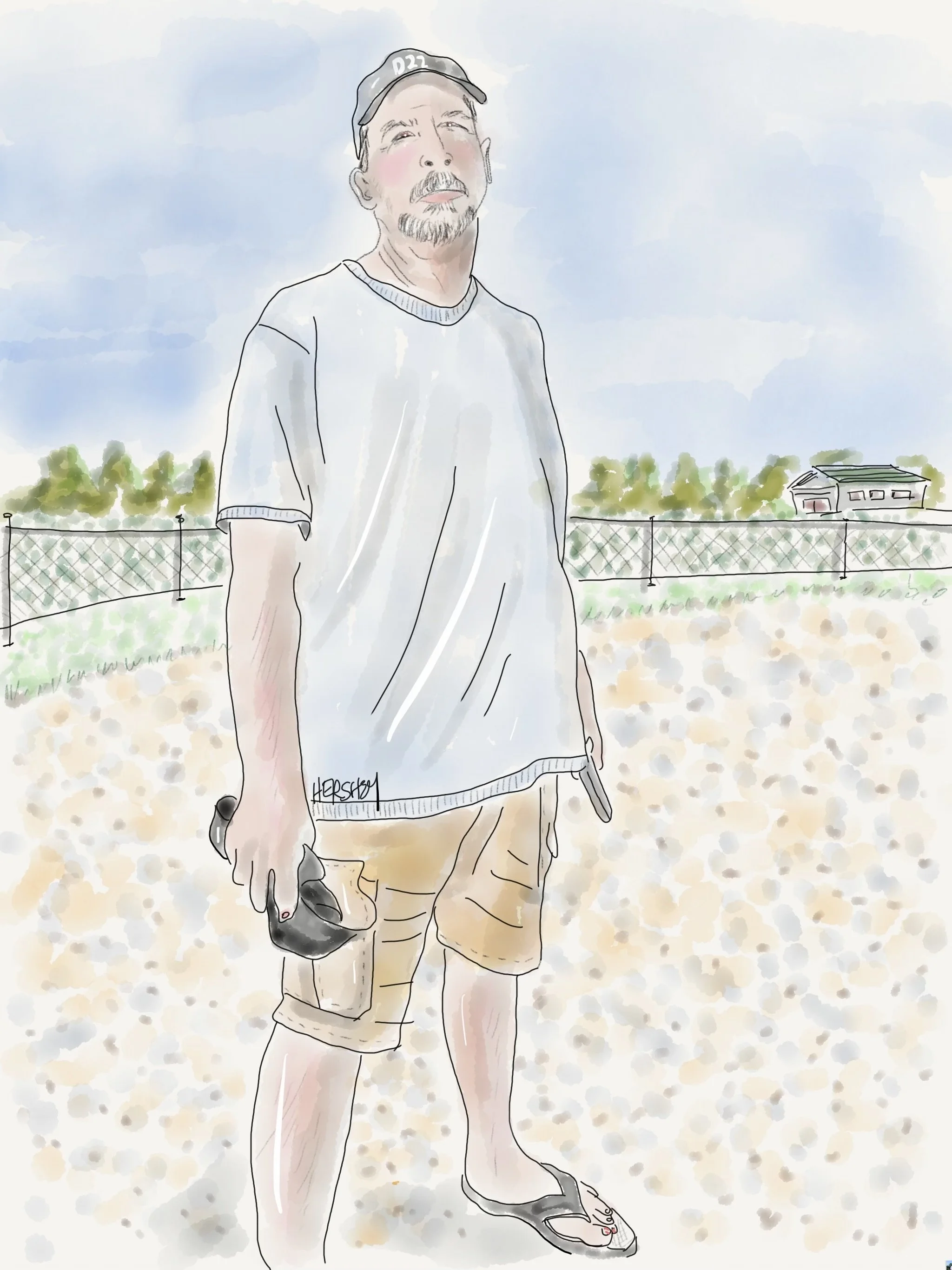
We stayed in Alain and Paola’s small cabin behind their home in Mansfield-et-Pontefract. Alain is a retired postman. He started his route after graduating from high school when he was 16 years old. His dad was a supervisor and he wanted to follow in his father's footsteps. Alain walked 20 Km (12 miles) a day, year round, using ice cleats to navigate cold, icy winters for over 40 years. Each neighborhood he serviced brought new friendships and relationships. Alain said, “I don’t get attached easily, but the old folks - they’d wait all day for me. I was sometimes the only person they talked to. It was hard to walk away.” Alain is very devoted to his wife. He is also a superb Airbnb host with a simple philosophy—deliver hospitality! Drawing by Jenny Hershey. Follow her on Instagram @deeofo.
But not all the theories borrow from Conspiracy mongers who make their homes in the States. Alberta Premier Danielle Smith (who is not friendly toward Canadian climate policies) was asked about the cause of Alberta wildfires in early June by Canadian talk show host Ryan Jespersen, and suggested that the more than 175 fires burning in Alberta at the time were all caused by arson, not climate change. Others in Canada have taken the arson theory a step further, indicating that the arsonists are Trudeau government operatives who are out to increase the federal carbon price.
Our friend Andy from Cape Vincent disturbed us with his reference to a cabal with mostly Jewish names, seemingly unaware that he (and others of his ilk) are dredging up the same anti-Jewish theories that preceded the Nazis and the rise of Hitler. “Anti-Jewish prejudice is very old – it goes back to antiquity – but the 19th century was crucial,” writes Matthias B. Lehmann, Teller Family Chair in Jewish History and professor of history at UCI, in The Baron: Maurice de Hirsch and the Jewish Nineteenth Century. “It was the moment when modern-day antisemitic conspiracy theories first crystallized, and those are still very much being used today.”
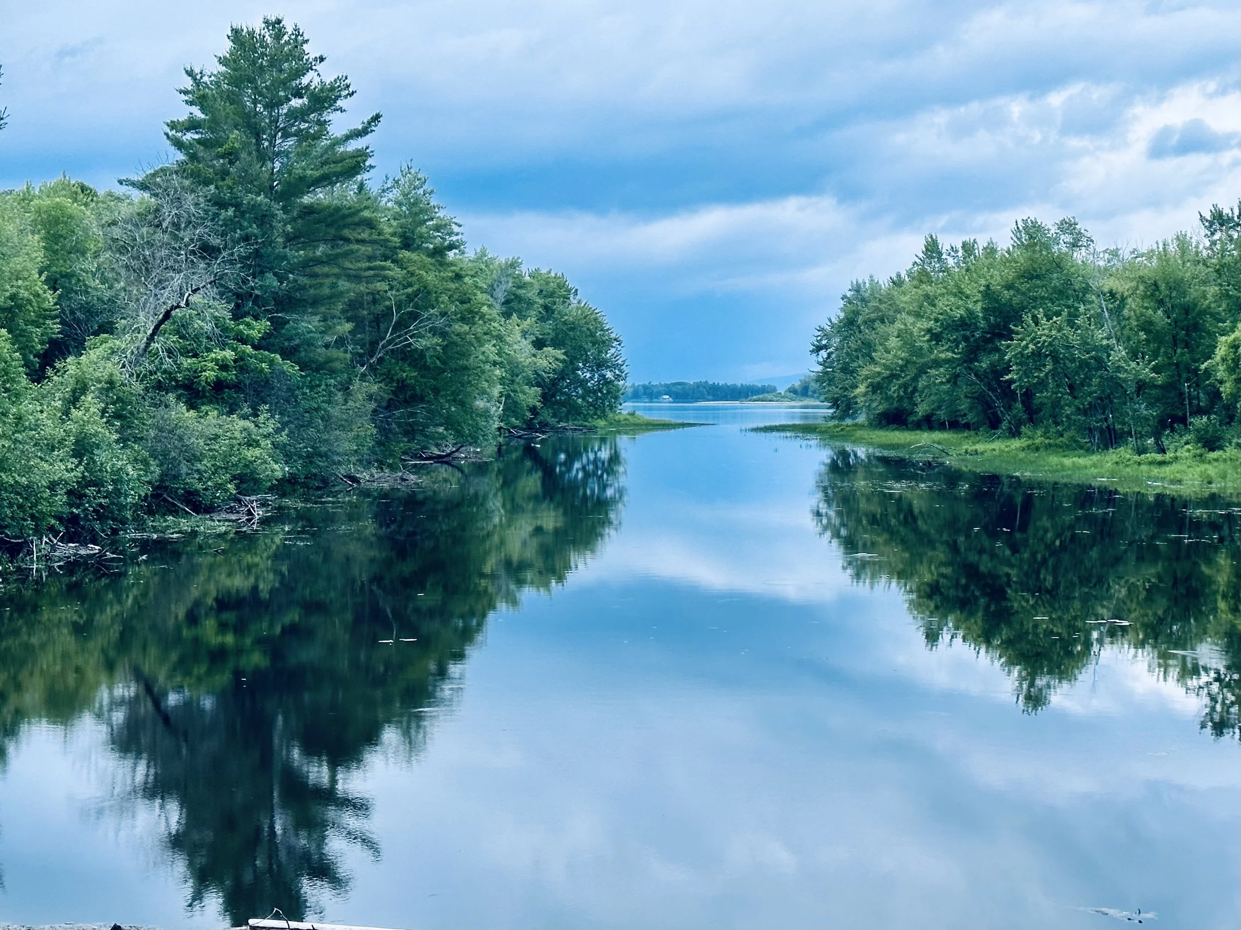
A view of the Coulonge River looking north. We were told that one of the smaller fires in Quebec was about 75 miles north of here. Photo by Michael Chase. Follow him on Instagram @mjohnsonchase.
Sometimes the enemy is the U.S. government and Biden, or the Canadian government or Trudeau. Or it's a cabal of rich people connected to the World Economic Forum wanting to control the world. Or sometimes it’s wealthy people in general, especially if they are Jewish. Or blacks or Hispanics or Muslims. Or they might be communists or socialists. Or Democrats. Or LBGTQ people. Or Public Health officials. Recently it was the queen of England, believed by a number of people to be the head of a brutal global drug cartel. As Anna Merlen writes in her fascinating book, Republic of Lies, conspiracy theories are, in the end, not so much an explanation of events as they are an effort to assign blame. More than questioning an official narrative, they are aimed at identifying the real perpetrators, the true power behind the throne, the hidden hand pulling beneath the surface.
So, it almost seems quaint that a not-insignificant chorus of Canadians blame the current wildfires sweeping across much of the country on climate activists and laser-less government operatives willing to drive into the woods and strike a match. It’s those pesky arsonists, and not natural forces or human carelessness driven by a hotter and drier climate that’s the real culprit for all the choking smoke that has driven children, seniors and others with respiratory issues inside, blocking out the sun and making air nearly impossible to breathe.
Whoever, or whatever it is, it's likely to happen more and more often until well after we decarbonize our atmosphere.
Let's get on with it.
Stay vigilant! Thanks for reading. If you haven’t done so, please subscribe to this blog to follow our next biking trip.
Blog writing by Michael Chase. Drawings by Jenny Hershey. Unless credited or otherwise noted, all material is the copyrighted property of the blog post authors.
Here are a few more photos from the trip:
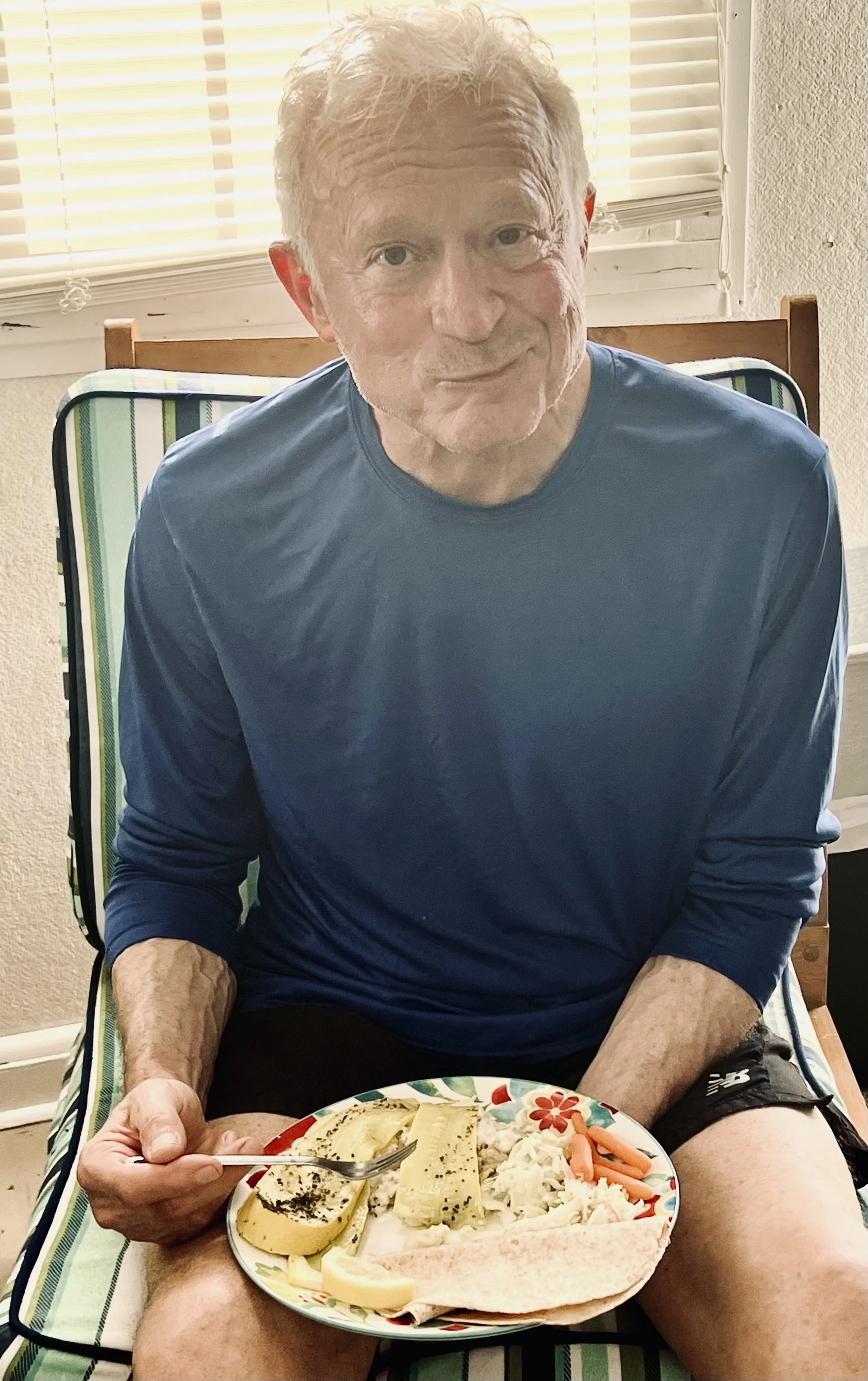
Michael enjoying one of Jenny’s extraordinary meals.Although Michael is a decent cook in his own right, Jenny has become an exceptional cook on the road, and we eat very well using local produce and protein and the microwaves we find in our modest accommodations. Photo by Jenny Hershey. Follow her on Instagram @deeofo.
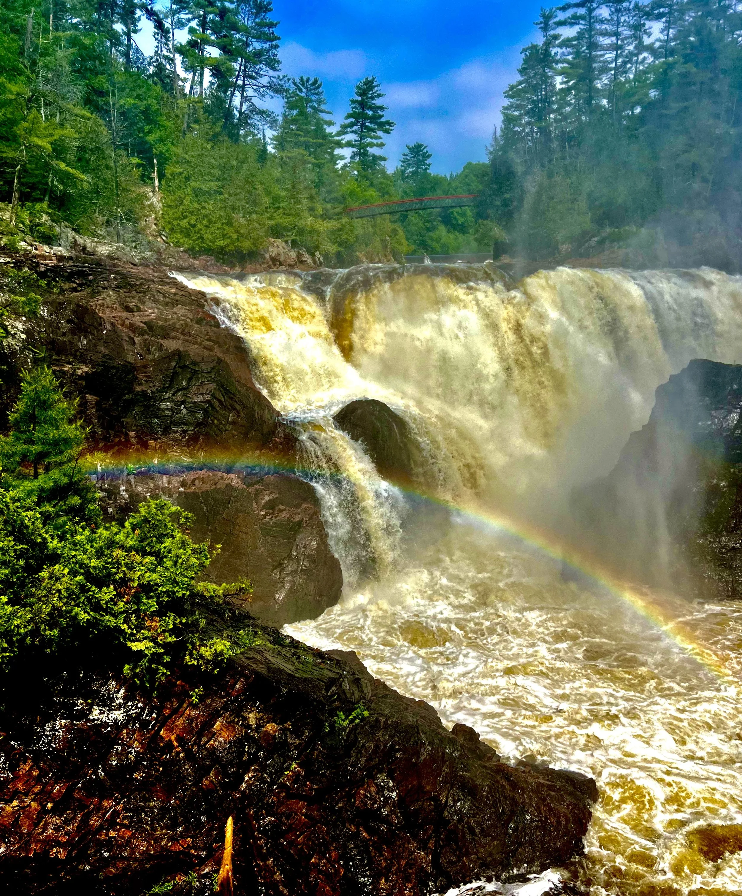
The Chutes de Coulonge on the Coulonge River in Quebec. Photo by Jenny Hershey. Follow her on Instagram @deeofo.
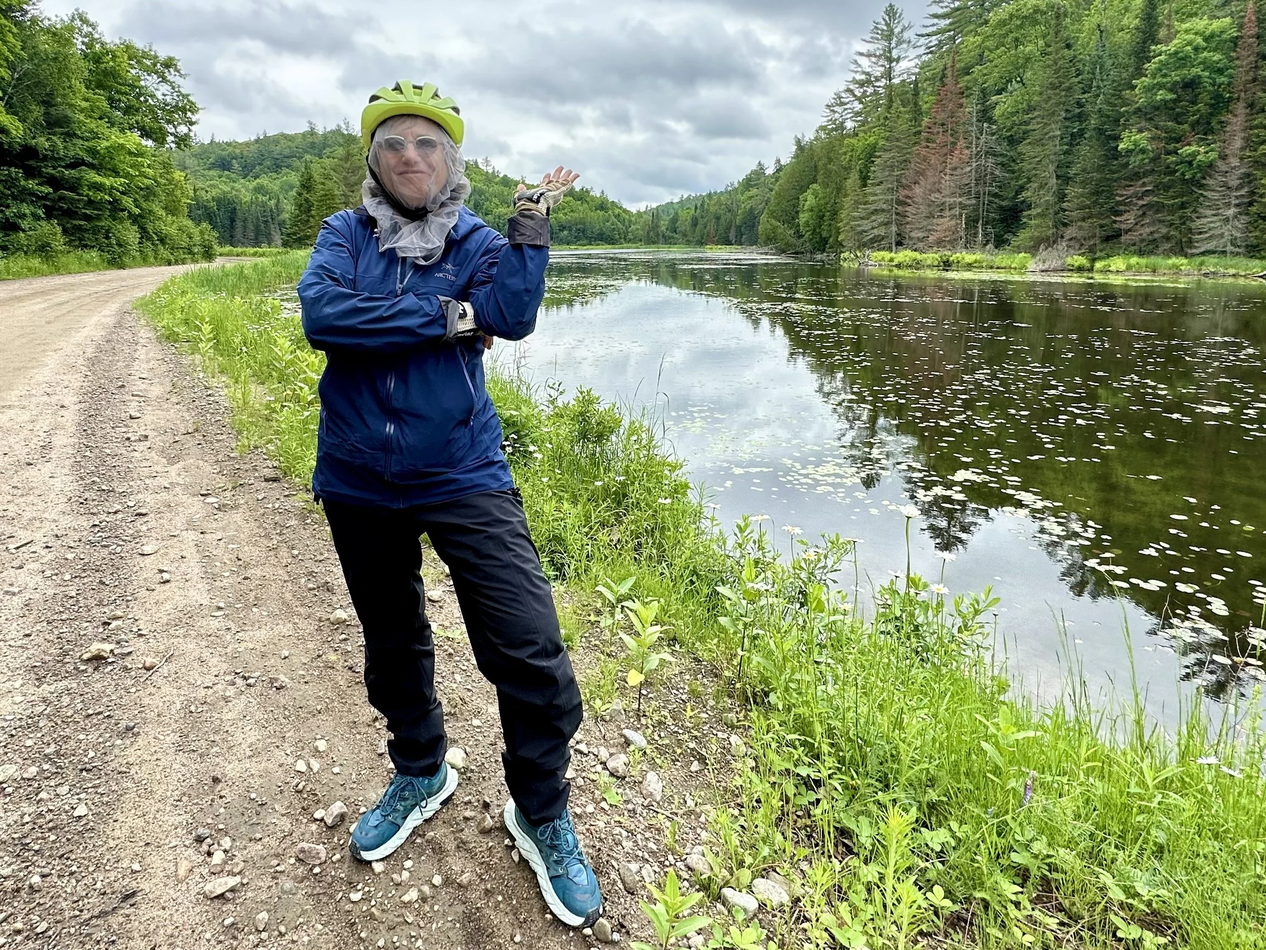
Jenny with a mosquito net over her head goofing around in Quebec. Photo by Michael Chase. Follow him on Instagram @mjohnsonchase.
Water and a Pipeline; Biking Mississippi and Arkansas, Part 2
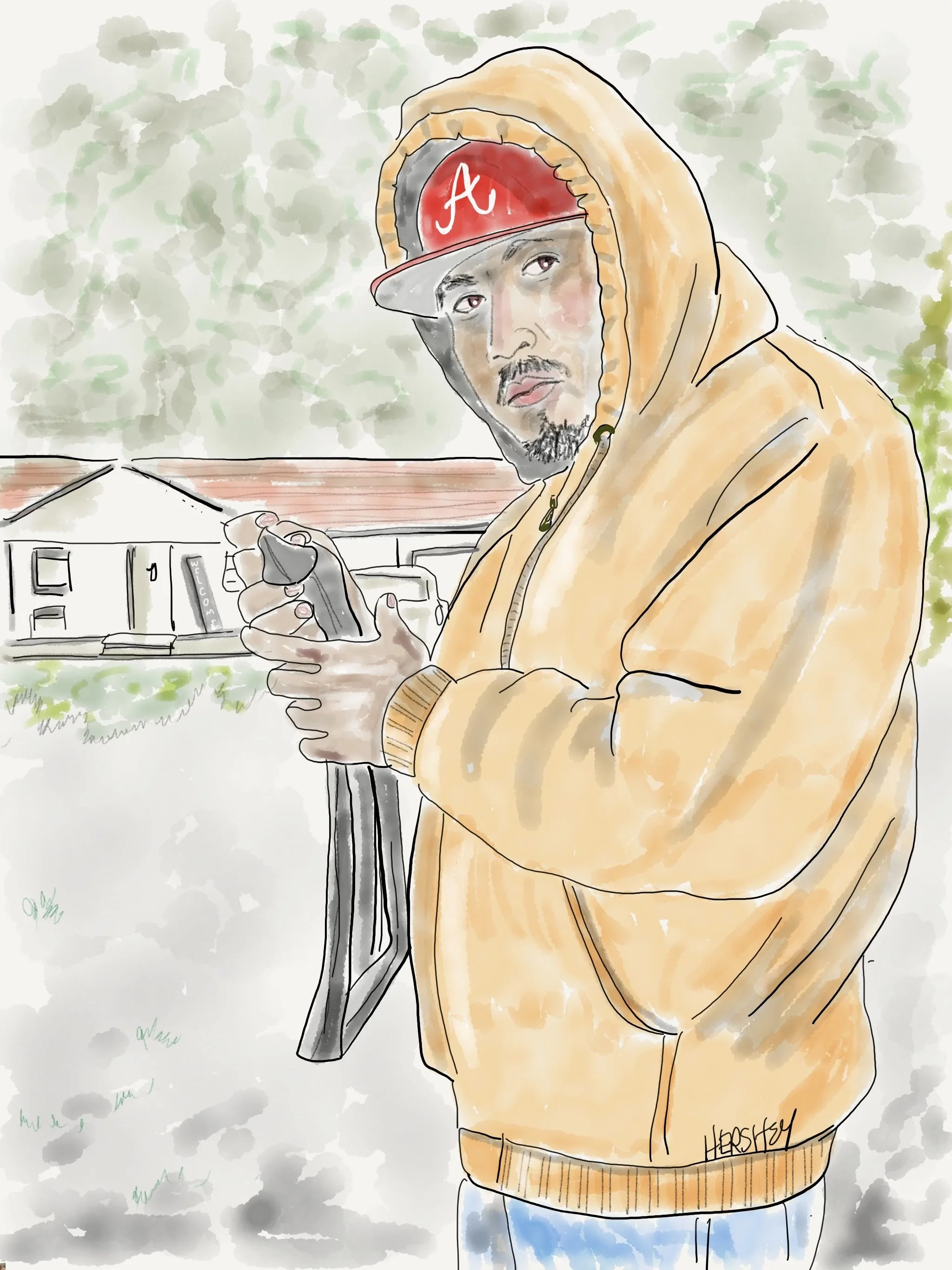
We met Jorge outside Jacksonville, Arkansas, just east of Conway. He graciously allowed us to fix a flat tire in his driveway, the third of seven flats we had on this trip. Jorge immigrated to Arkansas from San Luis Potosí, Mexico, 12 years ago, and enjoys a peaceful life with his wife and 4 kids. He told us he was “muy feliz.” He works a 9-5 job Monday through Friday in home construction, and spends the weekends with his kids doing sports. Jorge was a bicycle mechanic in Mexico and masterfully found the leak in our tube before we were even able to look. We were touched by his kindness.
Drawing by Jenny Hershey. Follow her on Instagram @deeofo.
——————
“Caution is the eldest child of wisdom.”
- Victor Hugo
——————
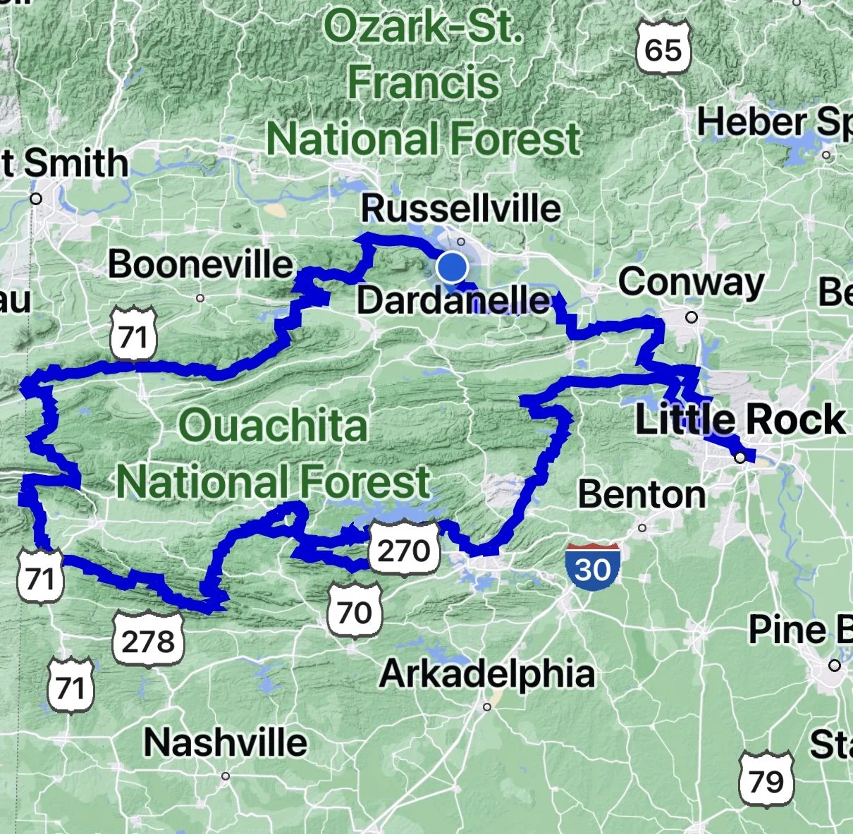
Jenny and I planned our bicycling trip through the Ouachita Mountains in the Ozark High Country, following a route from Conway to Little Rock. From there, we will take an Amtrak train to visit family in Milwaukee and another train back home from Chicago to New York City. We used a map the American Cycling Association provided to guide us on our journey.
Writing by Michael Chase, Drawings by Jenny Hershey
After a very satisfying ride across Alabama and Mississippi and the extraordinary delta country of eastern Mississippi and Arkansas (the subjects of Post 1 in this series), we headed toward the Arkansas River and the Conway/Little Rock region of Arkansas. The Adventure Cycling Association has created an extraordinary tour of the Ozarks out of Little Rock that features northern and southern loops collectively called the Arkansas High Country Route.
Confidant that climate-related stories are now to be found anywhere and everywhere, we already knew about the deadly tornadoes of March 31, 2023, that had moved through a large portion of the south and midwest, including a particularly devastating tornado that hit North Little Rock, only one week after the Amory, Rolling Fork and Silver City tornadoes in Mississippi. Although we didn’t see the neighborhoods in North and West Little Rock devastated (nor the shopping center that took out a Trek Bike Shop, among other businesses), we saw large swaths of park damage on both sides of the Arkansas River. The North Little Rock tornado had winds up to 165 mph and a path length spanning 20-25 miles, which is unusually large. We thought we would likely see more tornado destruction (see Part 1 in this series). However, on our way to Lake Maumelle from Little Rock, we discovered a different water-related climate story that captured our interest.
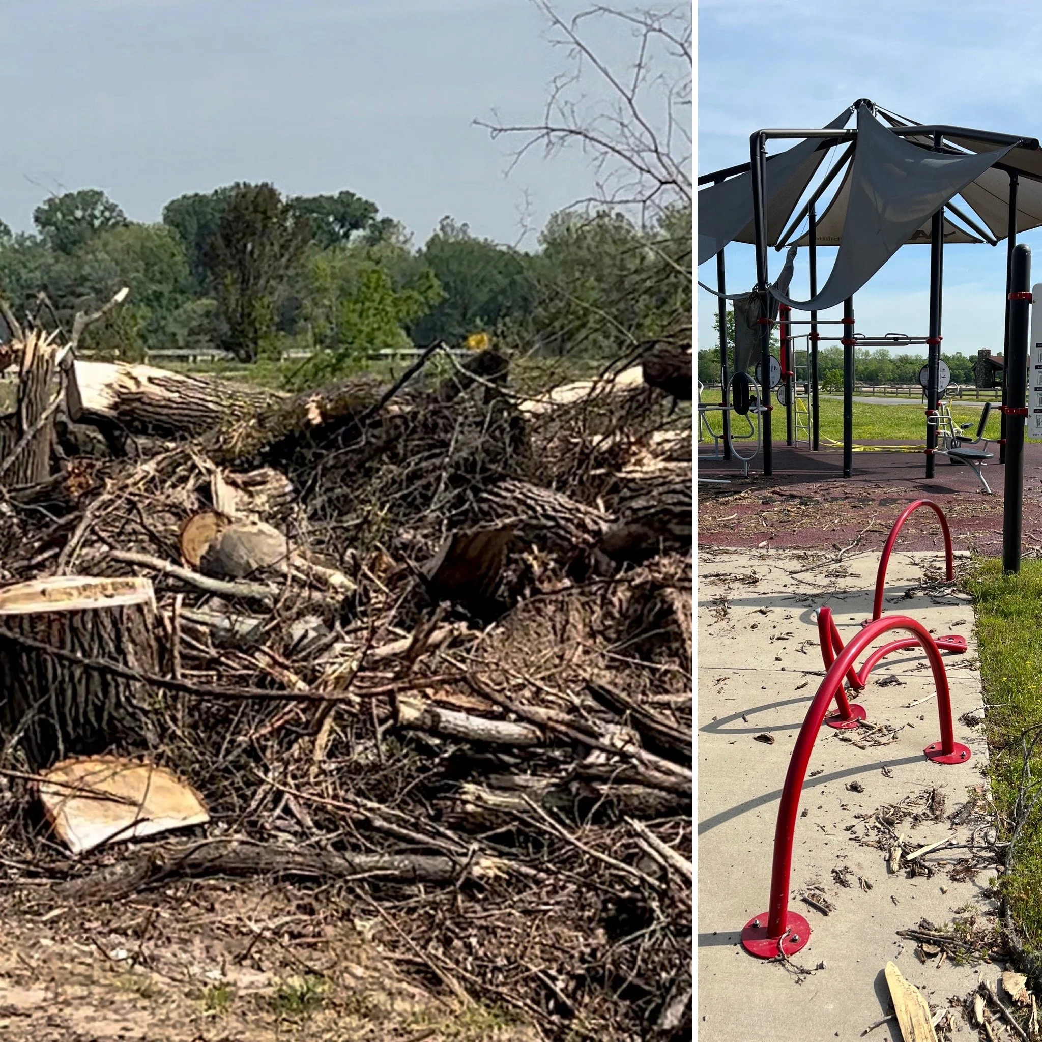
It’s difficult to photograph the impact of a tornado in a natural setting, and we took many pictures we weren’t pleased with. We must have seen several hundred stumps in one area of Rebsamen Park in Little Rock. We captured these shots more than 5 weeks after the tornado hit. Workmen have been working nonstop to get debris cleared, and there are still many places in the park that are this damaged.
—————
Mayflower, Arkansas, is a small suburban development nestled between North Little Rock and Conway. You might remember the Pegasus Pipeline oil spill in 2013. Owned by ExxonMobil, and used to carry Canadian tar sands oil to the Gulf Coast, it ruptured and dumped approximately 10,000 gallons of tar sands oil into the Mayflower Northwoods subdivision.
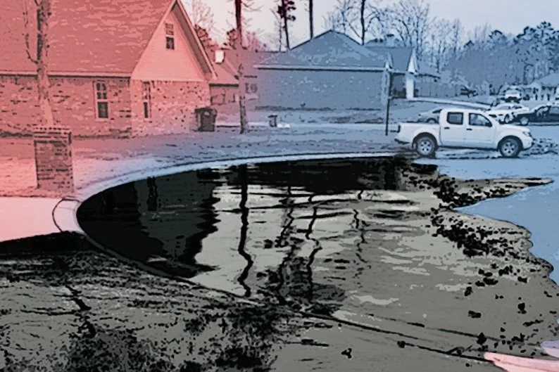
A picture of the spill in 2013, as published in Inside Climate News. Credit:EPA.
Jenny and I were intrigued by this story (and its lack of a resolution, which I will get to later), so we chose to bike to Mayflower, Arkansas, to see the site of the spill for ourselves. Not surprisingly, ten years later there are no telltale signs of the spill short of a pipeline identification pole (see photo below). Yards blackened by oil that we had seen in other pictures are now green with grass and homes evacuated shortly after the spill look intact and peaceful with pickups and SUVs in the driveways. Among the only visible reminders of the leak are a couple of vacant plots on each side of a cul-de-sac at the corner of the neighborhood closest to the pipeline.
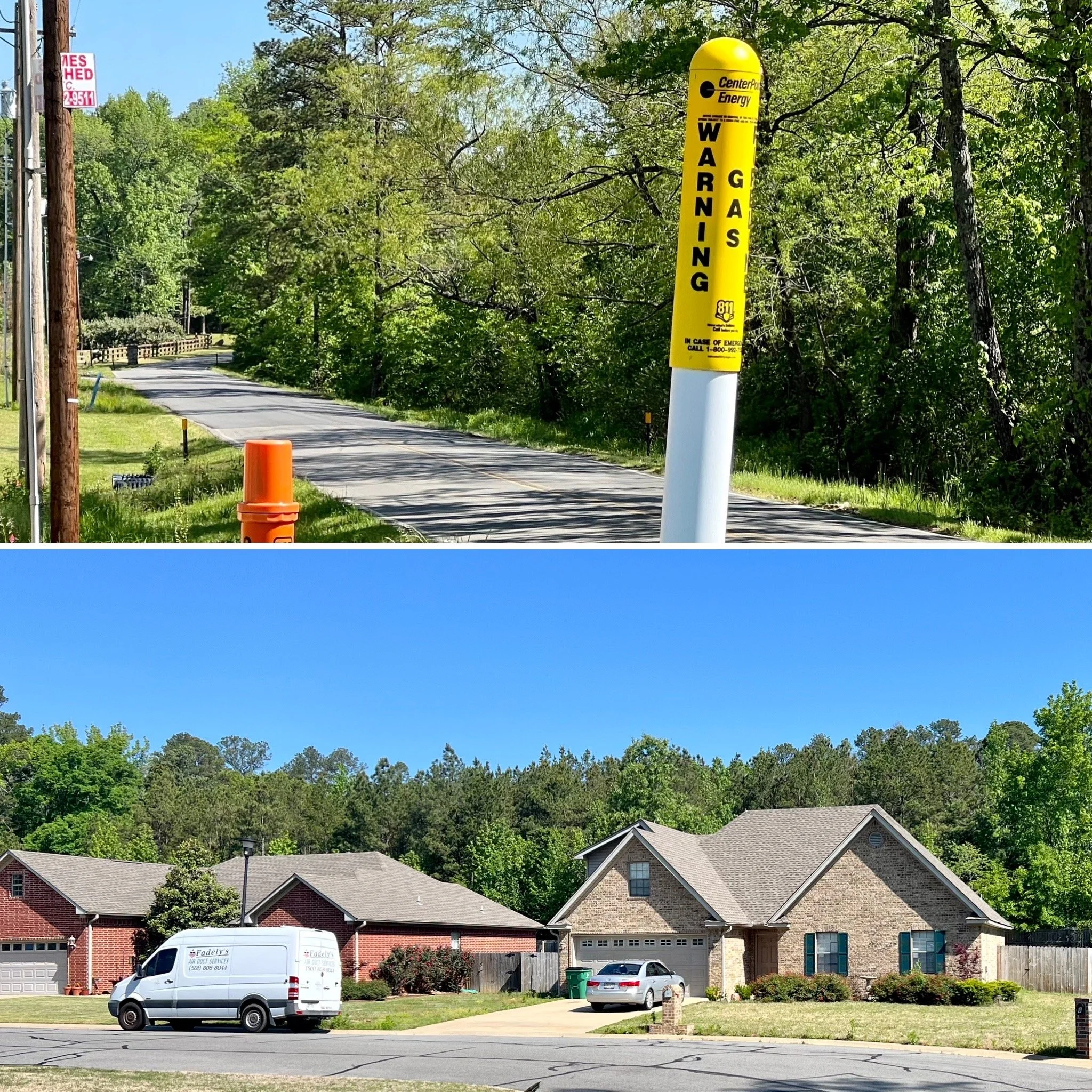
The gas pipeline marker sits next to the main road leading into the Northwoods subdivision of Mayflower, Arkansas. About 100 feet later, a road turns to the right and ends in a cul-de-sac partially visible to the right. These houses are the first things one sees. To our eye, all the houses on this street and many of the houses behind it are new and make up the bulk of the homes that were rebuilt as part of the settlement with ExxonMobil. Despite confidentiality agreements, several plaintiffs said that compensation for medical distress ranged from $2,000 to $15,000, depending on the proximity of the residents to the oil spill.
To avoid confusion, please note the pipeline was renamed the Permian Express Pipeline after ExxonMobil sold it to Energy Transfer Partners, LLC (ETP) in 2018.
Photo by Michael Chase. Follow him on Instagram @mjohnsonchase.
Most of the residents that live in the subdivision now did not live there in 2013. According to an article in the Arkansas Democrat-Gazette, Meggie Hardcastle, who recently moved into a home near the spill site, said most people living on her street were also new to the area. Of the two locals we talked to, one had heard nothing about the possibility of the pipeline starting up again, and the other believed the entire pipeline had been replaced. Sadly, they are both wrong; I explain why later in this story.
Things were very different when the spill occurred. It required an immediate evacuation of 22 homes, killed hundreds of animals, and severely impacted the surrounding wetland habitat near the subdivision. Fortunately, the spill was rapidly contained through the efforts of fast-acting first responders, including firefighters, city employees, county road crews, and local police, who successfully blocked culverts to stop the oil from getting into the water system of nearby Lake Conway (an area enjoyed for its natural beauty and recreational opportunities).
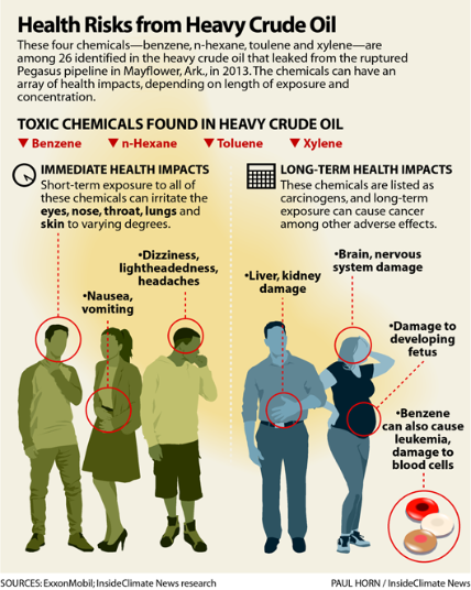
Graphic courtesy of Inside Climate News.
Back in the Northwoods subdivision, a few hundred people were sickened by an odor that was almost thick enough to feel; the spilled oil was bitumen mixed with diluted hydrocarbons. Residents complained about headaches, diarrhea, swollen eyes, dry heaves, and burning lungs. But the full extent of the medical consequences didn’t come to light until 2017 when 708 pages of documents were finally released by the federal pipeline safety regulator known as the Pipeline and Hazardous Materials Safety Administration (PHMSA) after a protracted court battle where PHMSA and ExxonMobil squared off with a nonprofit watchdog group, the Pipeline Safety Trust.
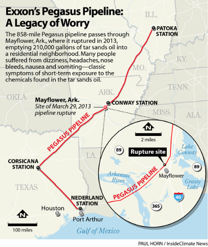
Built in the 1940s, the current condition and usability of what is now called the Permian Basin Pipeline are unknown to the public. Although not in use since 2013, its current owner, Energy Transfer Partners, LLC, has no obligation to reveal any maintenance process or testing results, nor does it have to indicate if and when the pipeline is operational. In the fall of 2021, Energy Transfer Partners, LLC began testing the pipeline again for potential deployment. This map shows more detail about the pipeline’s location. The pipeline traverses 13 miles of the Lake Maumelle shoreline in Arkansas and runs through Lake Hamilton in Hot Springs.
Graphic courtesy of Inside Climate News.
Sealed depositions obtained by the trust detail the true depth of health concerns after the spill. More than two dozen Mayflower residents described serious physical and mental harm suffered due to the oil spill. Residents tossed out furniture and ripped up carpets that had become hopelessly steeped with the stench of oil. They talked about the unexplained death of pets and how they became afraid even to take walks through their neighborhood.
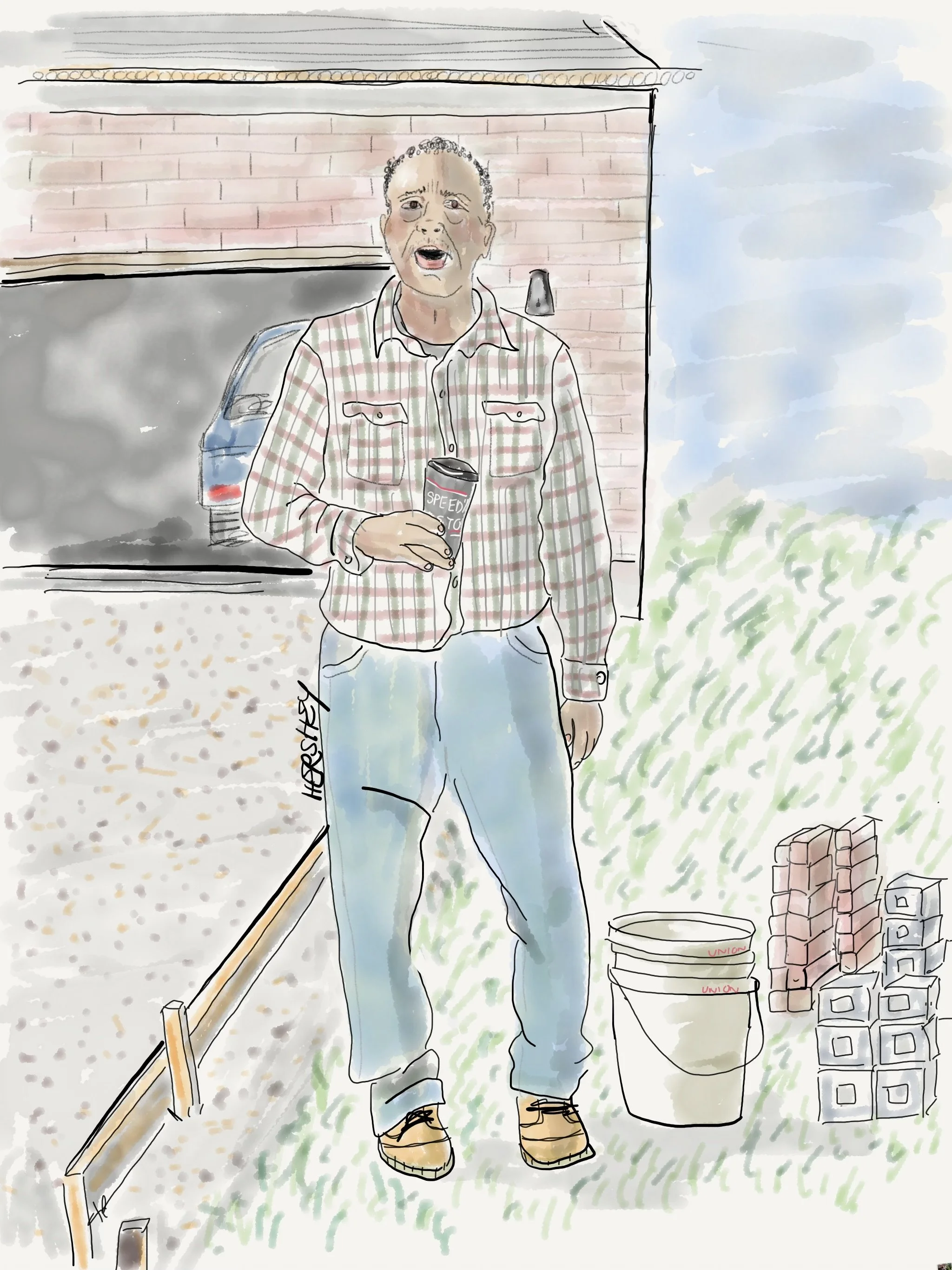
We met Hirty Hopper, a lifelong resident of Mayflower, in the Northwoods subdivision. Hirty is a mason and has been involved in masonry work on many homes following the oil spill. He trusted that the pipeline had been repaired, even telling us the entire pipeline had been rebuilt (it hasn’t). Hirty’s greater concern was seeing the construction completed on a railroad overpass nearby. He explained that the subdivision was only remotely accessible to the nearest hospital. It was located near a railroad track with so few crossings that ambulances couldn’t access the subdivision quickly enough, causing deaths because the wait was so long. “Six people passed,” he told us.
Drawing by Jenny Hershey. Follow her on Instagram @deeofo.
Settlements between homeowners, sickened residents, and ExxonMobil took years. The Arkansas Democrat-Gazette reported that, as part of its effort to address the spill, ExxonMobil ultimately purchased and rebuilt 31 homes in the subdivision and demolished at least three. It took the court system about six years to reach a final accounting. Along the way, PHMSA filed violations against ExxonMobil and attempted to fine them. For years before the Mayflower disaster, ExxonMobil had conducted multiple tests which uncovered more than ten ruptures or leaks along the pipeline. According to PHMSA, ExxonMobil failed to address those concerns, although the reports are still unavailable to the public, and the complaint is shrouded in secrecy. However, a federal appeals court sided with ExxonMobil when the oil giant stated, “There is no proof its actions contributed to the spill.” Then, in a ruling that astonished me when I read about it, the court found that ExxonMobil had followed the law in conducting adequate inspections and analysis in accordance with federal regulations and that“despite adherence to safety regulations and guidelines, oil spills still do occur.”
Think about that. The court essentially ruled that pipelines DO and WILL fail - just like any other form of plumbing. Yet, when they do, operating companies may not be held culpable. If they have followed regulatory laws (often legislated by federal and state governments that are anti-regulatory) and the pipelines fail, operators can walk away scot-free. Unfortunately, when that happens, the public is stuck with a lasting burden of recovery that goes well beyond token gestures of compensation by offending parties.
I wish I could say that such outcomes create greater awareness among the public that weak regulations and self-interested companies are not to be trusted. Companies will do what is right for them, but not necessarily what is right. If the law won’t stop them and they can make money doing it, they will do as much damage as possible until a disaster unfolds. Yet, I am often struck by the passivity of those at risk, like the Northwoods resident who lived through the previous spill and assumes the pipeline will never be used again.
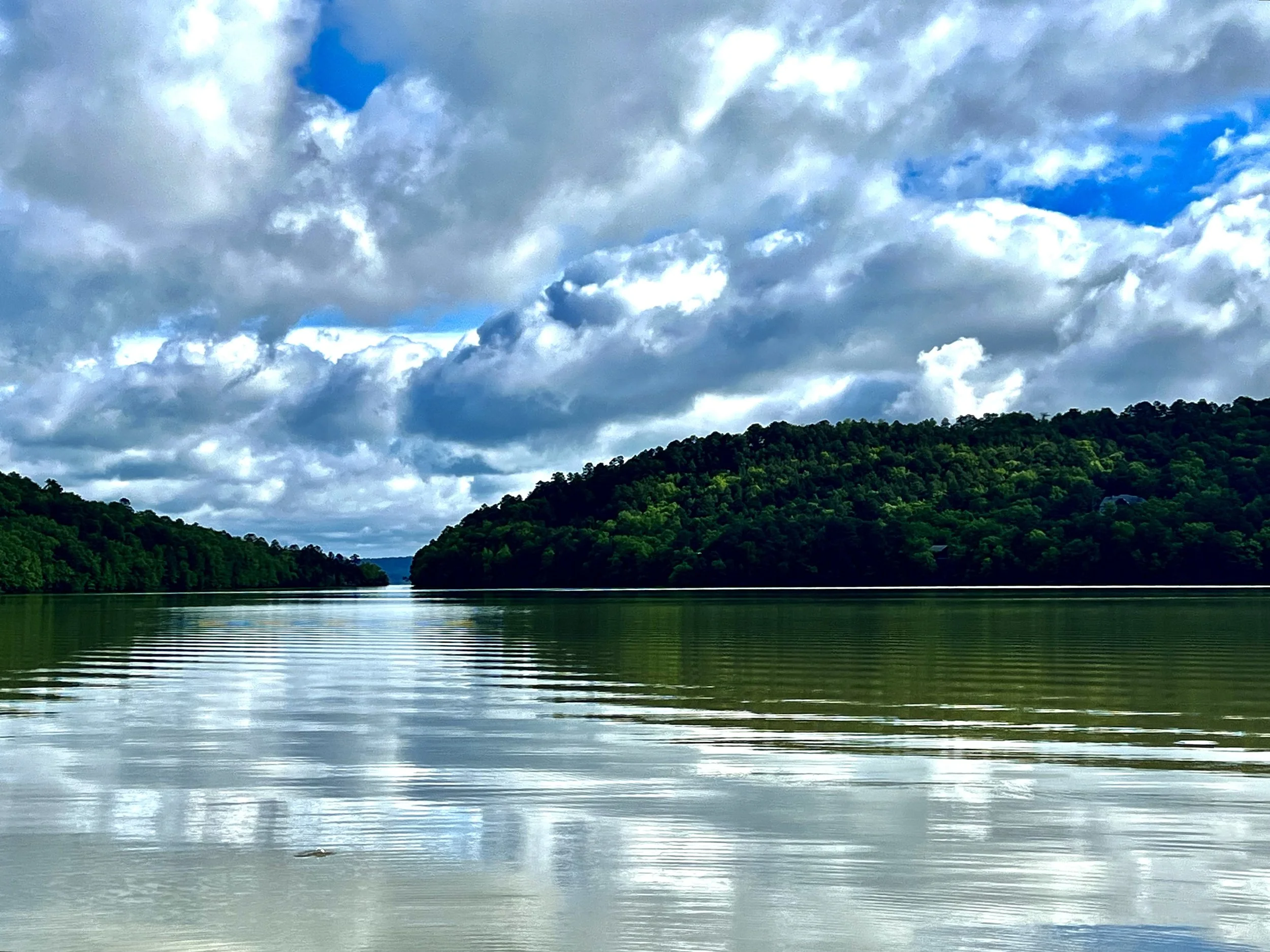
Lake Dardanelle is near the Arkansas River, slightly northwest of Dardanelle, Arkansas. Photo by Jenny Hershey. Follow her on Instagram @ deeofo.
In the fall of 2019, after Energy Transfer Partners (ETP) had purchased the pipeline from ExxonMobil and renamed it the Permian Express Pipeline, they notified Central Arkansas Water that they planned to start testing it again for potential use. Central Arkansas Water is the utility that supplies drinking water to approximately half a million residents in the Little Rock metropolitan region. It draws water from the Lake Maumelle watershed and smaller tributaries fed by the Maumelle River. Built in the late 1940s (well before the Northwoods subdivision existed), ETP’s newly named Permian Express Pipeline also skirts along 13 miles of shoreline of Lake Maumelle. Along this stretch, the pipeline crosses bodies of water, including tributary streams and wetlands at 13 points. In addition, several sections of pipe near the lake are above ground, making them more susceptible to damage.
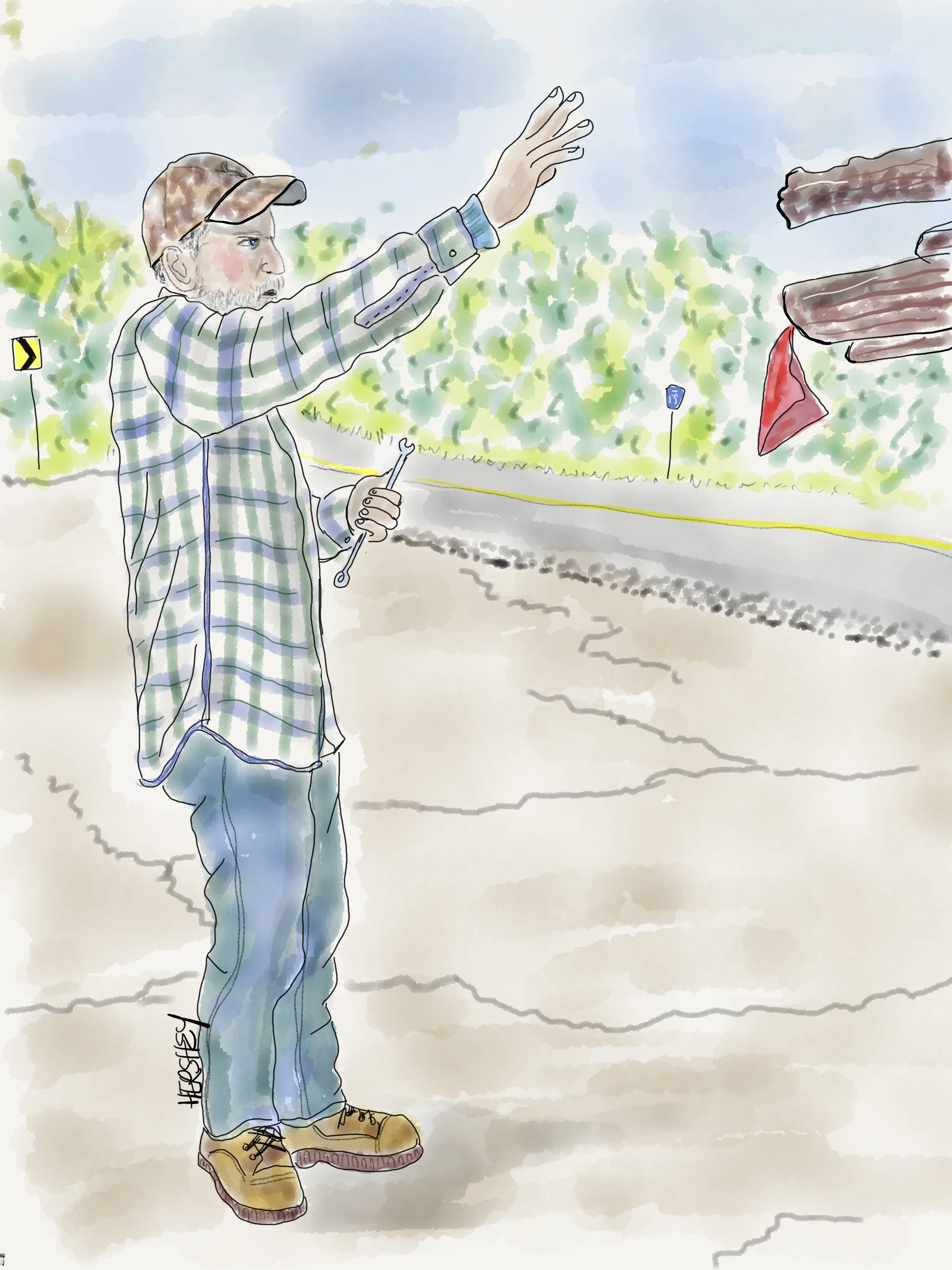
Gary is a 62-year-old log hauler from Clarksville, Arkansas. We met him on Petite Jean Mountain in the Ouachita Mountain west of Little Rock (pronounced like Wichita, except it is Watch-i-ta). Gary was adjusting his brakes under a truck carrying a large load of timber. Gary has been hauling logs for almost 30 years. Still, when Hurricane Harvey hit Houston, he and his wife headed west to help communities by hauling away debris and offering emotional family support. Gary loves to hunt wild turkeys. When we asked Gary about his age, he laughed and told us he was like an overworked mule, “rode hard and put up wet.” He sincerely asked us, “How could we stand living in a city as big as New York?” Jenny launched into her appreciation for the diversity of her neighborhood in New York, and that’s when he told us how much he enjoyed helping diverse folks in Houston after Hurricane Harvey hit. As different as our lives are, we enjoyed learning about our shared values.
Drawing by Jenny Hershey. Find her on Instagram @deeofo.
Surprisingly, ETP is not required by law to disclose whether it conducts tests or if it reopens the pipeline. Notifying the water utility about its intention to conduct tests suggests the company is interested, at least, in the appearance of good public relations. However, it has not been willing to divulge its long-term intentions. The water utility and various community environmental groups have openly worried that the company might consider reopening the pipeline. After all, the stakes are quite high - a pipeline failure within the Lake Maumelle watershed could have catastrophic consequences for the half million people who use the water supply.
In 2020, officials from Central Arkansas Water sent letters to ETP offering to discuss the potential purchase of the section of pipeline that runs through the watershed, but they never heard back.
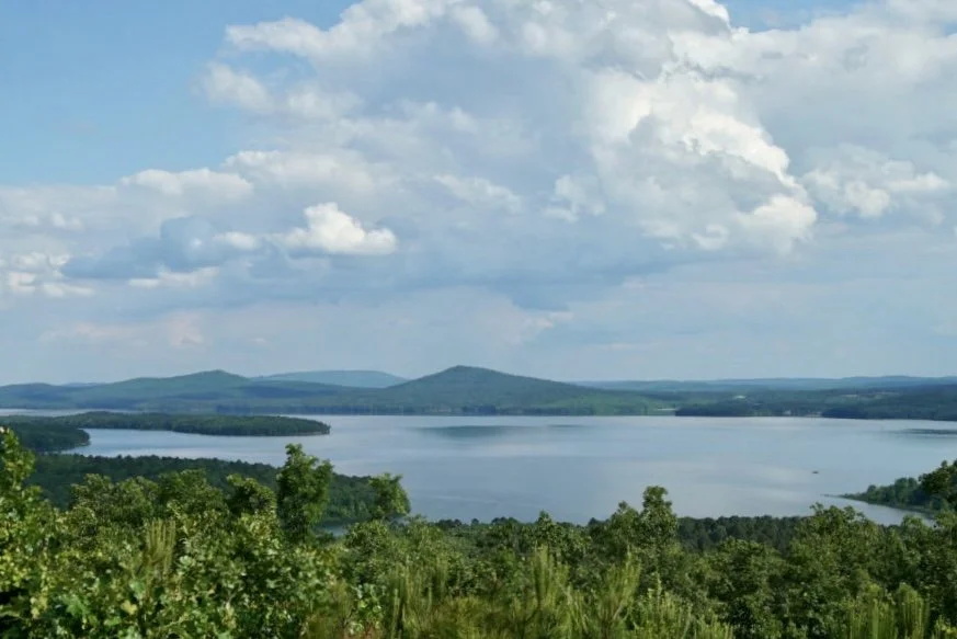
Stock photo of Lake Maumelle, the reservoir that is the source of drinking water for Little Rock and the water utility Central Arkansas Water. We visited the lake on our last day in Little Rock and tried to find an access point for a photograph but were unsuccessful, so we had to settle for this photo found in Google Images.
The most recent accounting of what might happen with the pipeline is an article in the Arkansas Democrat-Gazette, dated March 27, 2023 (ironically, on the same weekend that media was hyper-focused on the North Little Rock tornado). The Gazette interviewed Raven Lawson, the watershed protection manager at Central Arkansas Water, who said, “The possibility of the pipeline reopening is a top concern.” If oil begins to flow through the pipeline again, Lawson said she believed it would not be a question of "if" but "when" the conduit would rupture again. However, Max Shilstone, director of government affairs for ETP, told Central Arkansas Water in a letter dated May 23, 2022, that his company has "no plans to bring the pipeline back into service at this time." Shilstone said "current market conditions" did not warrant restarting the conduit but noted his company would "continue to maintain the pipeline in a safe, idle condition. Should circumstances involving the pipeline and its future use change, we will communicate with interested parties, of which Central Arkansas Water would be included.”
So, the people who use Central Arkansas Water must wait passively, trusting that ETP will do the right thing. Let’s hope it goes that way. I think it’s unlikely that ETP has plans to run oil through the Permian Express Pipeline. They are more likely to use the pipeline to transport liquified natural gas (LGN) to the Gulf Coast. A methane leak would be less harmful to waterways, making public relations issues more manageable (methane emission disasters are harder to detect and less likely to gain media attention).
However, I think it is even more likely that ETP is quietly testing the pipeline as they bide their time until they can use the pipeline to transport CO2 or hydrogen. Unless the GOP's recent budget ploy successfully results in repealing the recent hike in 45Q tax credits as provided by the Inflation Reduction Act (see our recent blog post for an explanation), the financial rewards for transporting those materials may be quite remunerative. And while that effort might help decarbonization efforts, they are also largely untested and may include unintended consequences. Like you, I would much rather deal with pollution accidents resulting from efforts to decarbonize. But it’s also important that we understand the risk profile for anything we transport, and right now, there is much about carbon and hydrogen transport and storage that is not understood.
But I’m willing to make a solid bet the ETP didn’t purchase the Pegasus Pipeline, so it can lay idle. It’s only a matter of time before it is back in use. And considering that it is over 70 years old and the relaxed regulatory rules under which it is governed, it’s only a matter of time before Little Rock’s drinking water supply is again threatened.
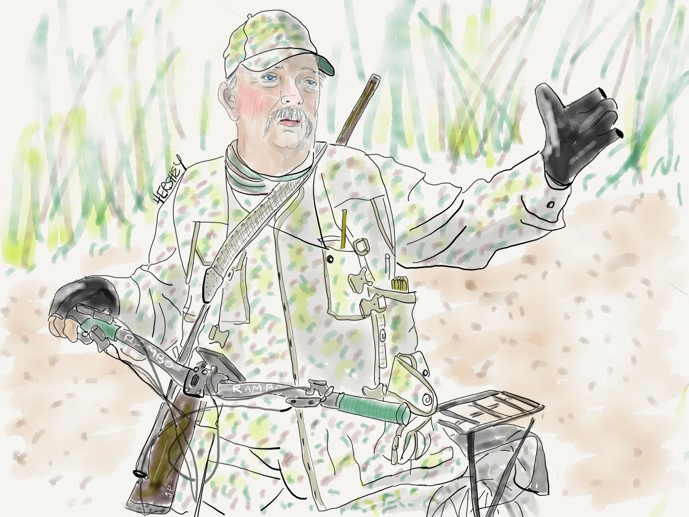
On our way up Magazine Mountain in Arkansas, we met Joey on his souped-up e-bike on a gravel backroad. Joey was born and raised (and still lives) in the Arkansas Valley near Paris, Arkansas. Retired from a job with Bridgestone Tire, Joey enjoys hunting for wild turkeys on his bike. He said that his truck scares the turkeys, and he can sneak up on them on a bike. Turkey season in Arkansas is short; it lasts from April 17th - May 7th. An old back injury haunts Joey, but he pushes through, and at the end of the day, he goes home to a loving wife. Two grown children who don’t live very far away not far away give him much joy. A jovial, soft-spoken man with a gun dressed in camouflage riding an e-bike on a gravel road in the woods; can’t find that in Times Square…
Drawing by Jenny Hershey. Follow her on Instagram @deeofo.
Stay vigilant! Thanks for reading. If you haven’t done so, please subscribe to this blog to follow our next biking trip.
Blog writing by Michael Chase. Drawings by Jenny Hershey. Unless credited or otherwise noted, all material is the copyrighted property of the blog post authors.
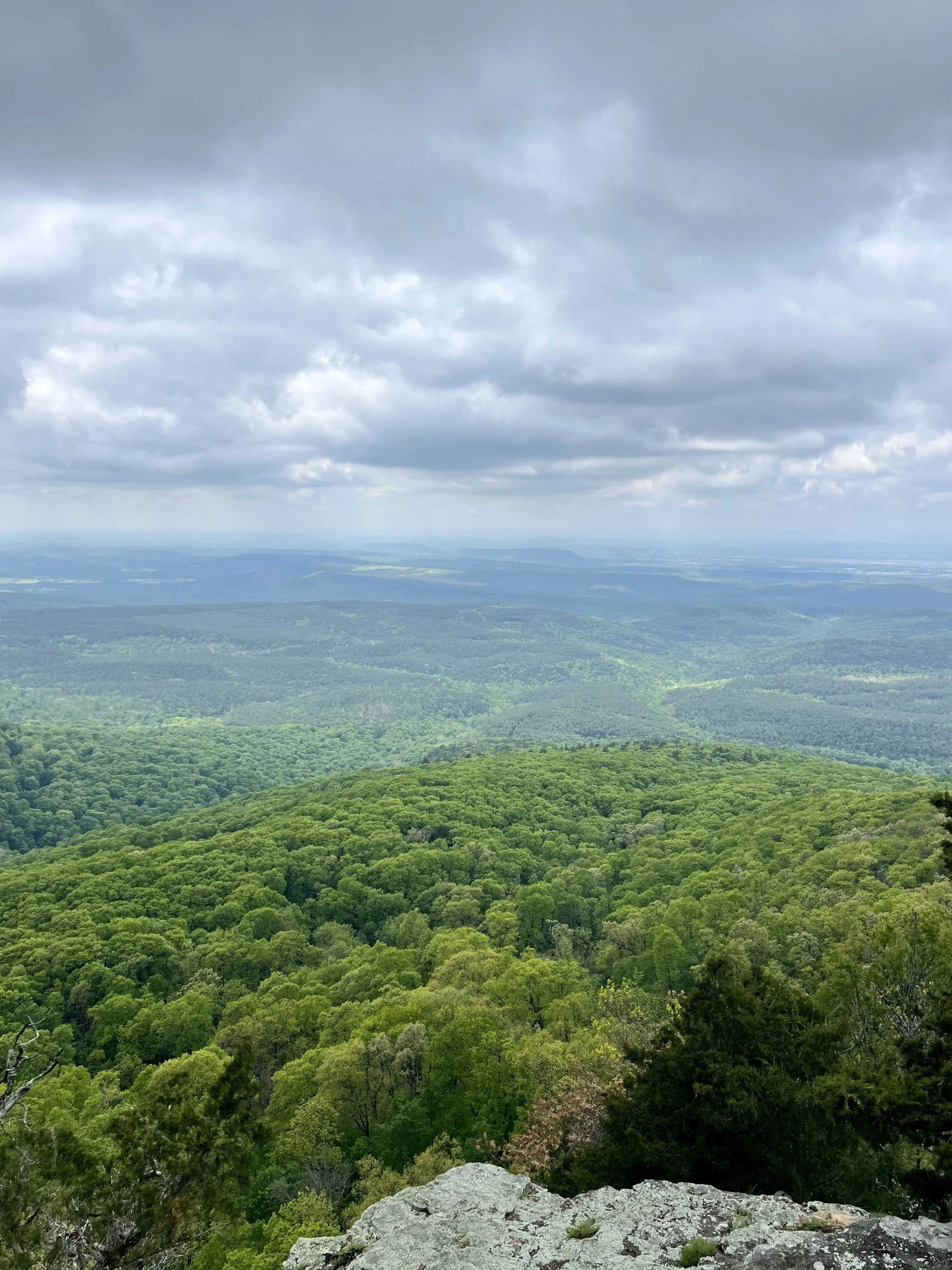
This view looks north from Petite Jean Mountain in the Ouachita Mountains. Although this entire region is loosely referred to as “the Ozarks,” the southern border of the Ozark Plateau technically starts at the Boston Mountains, which are visible in the distance. Jenny and I were charmed by the natural beauty of Arkansas and challenged by its ruggedness. Photo by Michael Chase. Follow him on Instagram @mjohnsonchase.
Water and a Tornado; Biking in Mississippi and Arkansas, Part 1
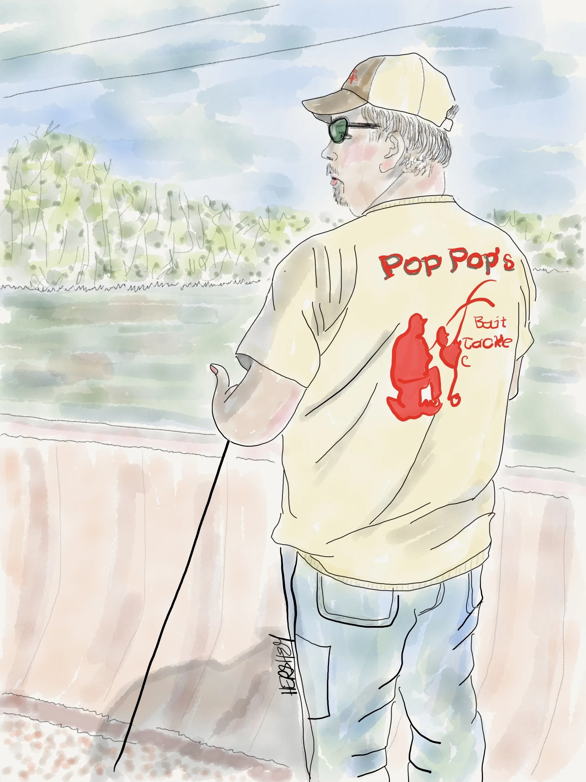
Jenny and I met Brian while he was gazing at the extraordinary amount of surface water flowing through Indian Bay near the White River east of DeWitt, Arkansas, in the Dale Bumpers National Recreation Area. This led to a conversation about how all the surface water we saw was unlikely to replenish groundwater supplies in the Mississippi Delta. Brian was about to say something when a valve spontaneously blew on my front tire, causing it to deflate instantly. Brian owns Pop Pop’s Bait and Tackle in Helena, Arkansas, near the Mississippi River on the Arkansas side of the Mississippi Delta (technically known as the Mississippi Embayment). He was fishing for Skipjack Herring, a great bait for catfish and quite lucrative for his shop. Brian started Pop Pop’s with his father about 12 years ago. He is proud of his daughter who will attend medical school next year. A hard-working man, Brian has lived in Arkansas his entire life.
Drawing by Jenny Hershey. Follow her in Instagram @deeofo.
—————
“Our very survival depends on our ability to stay awake, to adjust to new ideas, to remain vigilant and to face the challenge of change.”
– Martin Luther King
—————
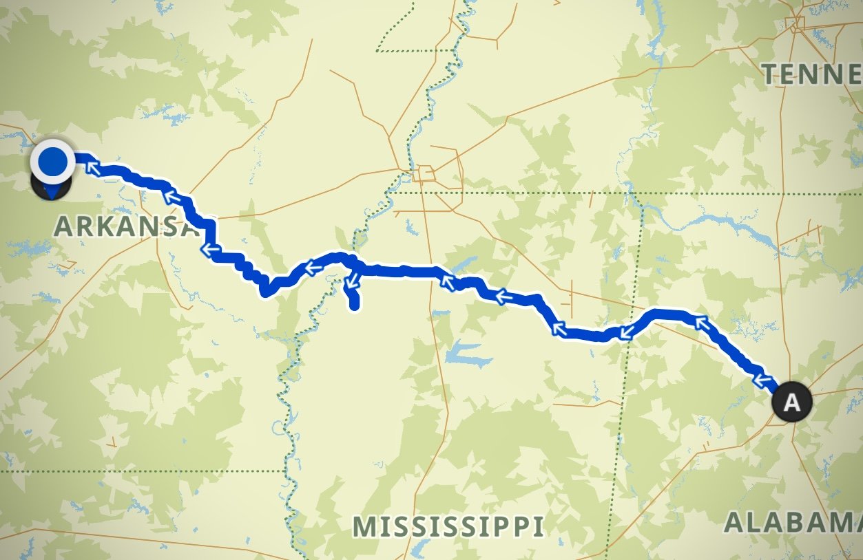
Our approximate route was from Birmingham, Alabama, to Conway, Arkansas. Once we reached Conway, Jenny and I entered the Arkansas Ozarks, which will be covered in Part 2 of this trip series. Image courtesy of Kamoot.
Writing by Michael Johnson Chase, Drawings by Jenny Hershey
For the second time this year, Jenny Hershey and I boarded an Amtrak train in New York City with our bicycles and got out in Birmingham, Alabama. Our ultimate destination was the Arkansas Ozarks this time, so we have been riding westward since we got to Birmingham. Fascinated by water issues and how they intersect with climate change, we were initially disappointed that our route wouldn’t take us through beleaguered Jackson, Mississippi, where water issues have become a water crisis.
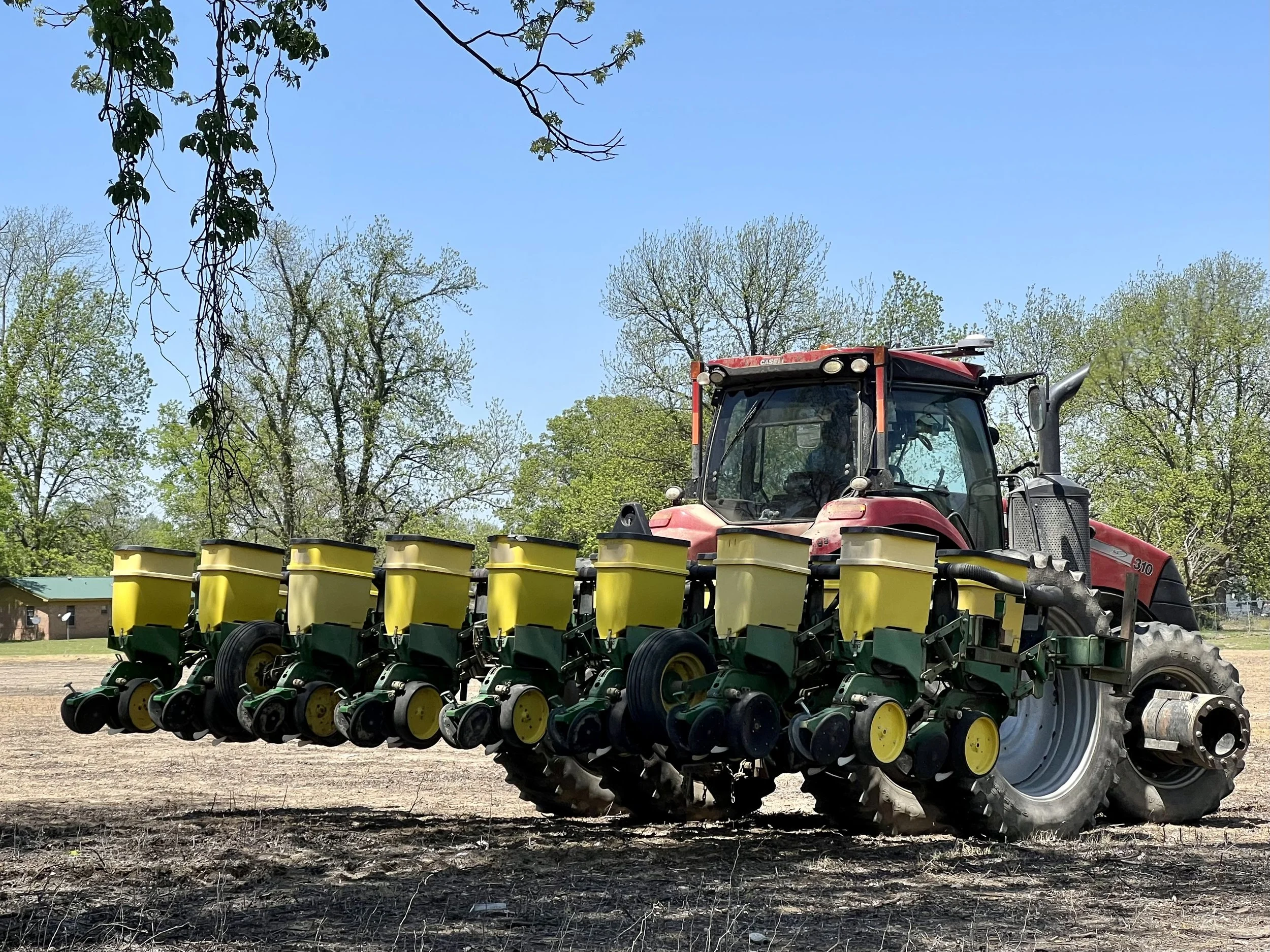
We talked to a farmer near Friar’s Point, Mississippi, in the Mississippi Delta (not to be confused with the Mississippi River Delta, which is the extension of the Mississippi River into the Gulf of Mexico south of New Orleans). The farmer told us that low-till planting methods for water conservation and soil development are becoming increasingly common in this part of the Delta. When we asked about the water levels in the alluvial aquifer, the farmer replied that the aquifer was decreasing over time. Still, he also thought the issues were more critical on the Arkansas side of the Delta because water-intensive rice farming is more common. Photo by Michael Chase. Follow him on Instagram @mjohnsonchase.
We decided that climate issues are ubiquitous enough that we will discover plenty of interesting stories wherever we go. We were right, of course. The prevalence of climate stories is much greater now than even a few short years ago, in 2016, when I started bicycle touring. Extreme weather-related disasters are now straining American communities so intensely that climate stories are everywhere. Climate-related events are occurring at a magnitude greater than the most conservative climate scientists predicted just a few years ago. However, the truly scary thing is that extreme weather-related natural disasters are only going to keep increasing in quantity, duration, and strength.
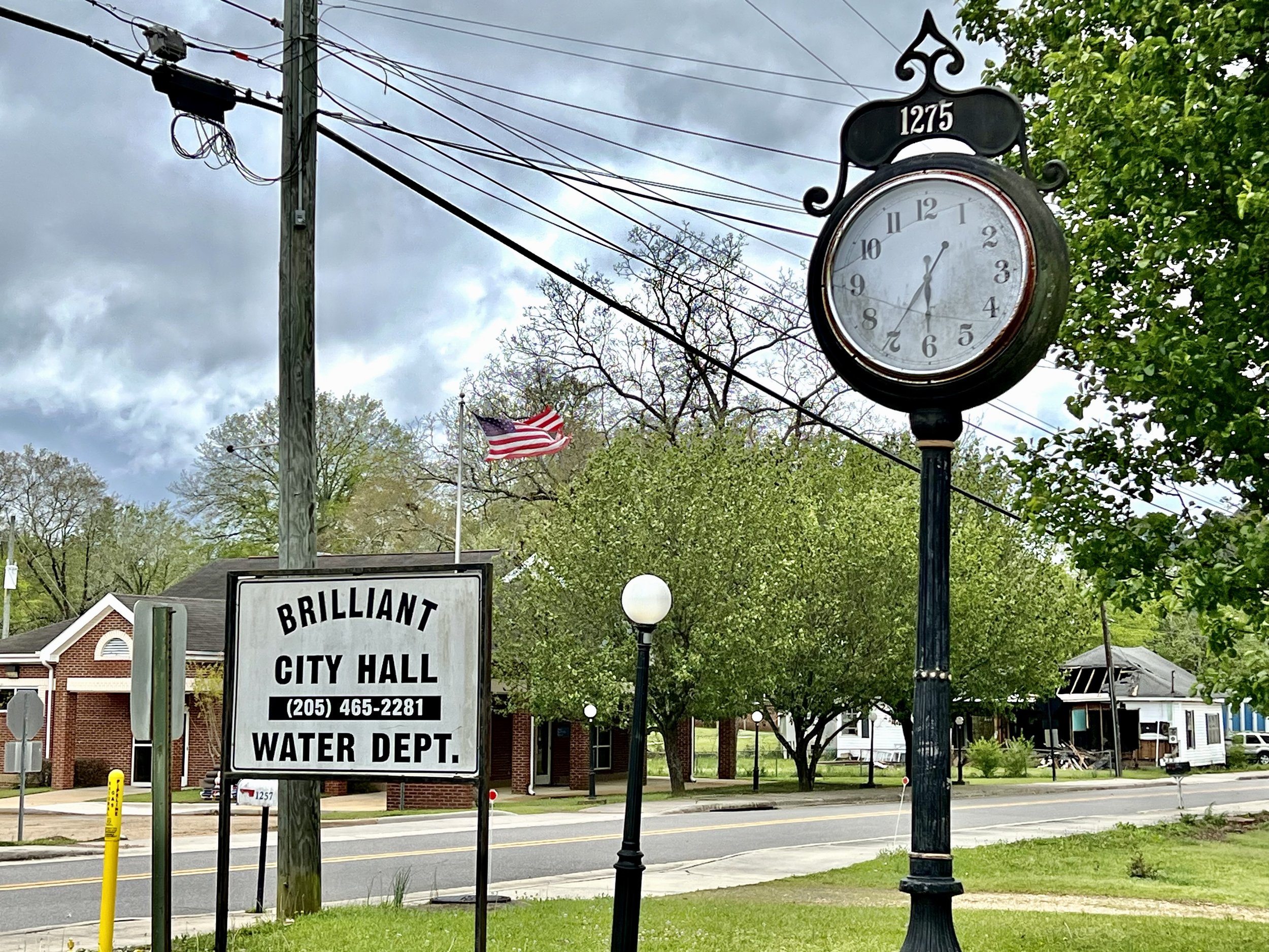
It’s no accident that City Hall and the Water Department are the most important municipal offices in Brilliant, Alabama. Access to clean and reliable water and safe sanitation are baseline conditions for health, prosperity, and well-being. Of America’s 145,000 municipal water systems, 97% of them are municipalities of 10,000 people or fewer. More than any other factor, climate change reveals and exacerbates racial and societal inequities in disproportionately small and rural communities that struggle for funding and technical services. Photo by Jenny Hershey. Follow her on Instagram @deepfo.
With that as a backdrop, let’s briefly return to the subject of Jackson, Mississippi (even though Jenny and I didn’t go there). The American media has coveted the drinking water crisis in Jackson as a story of poor management and neglect. But it is also a story about the convergence of climate change, aging infrastructure, water contamination, and rising costs. All those factors make providing clean water to every community in America an increasingly daunting problem. Already, more than two million Americans lack access to running water, indoor plumbing, or wastewater services.
While it is true that Jackson’s water system was poorly managed and neglected for decades (partially related to declining property values due to “white flight” into other towns and neighboring suburbs), the water system reached its final tipping point during a flooding crisis in 2022. When double-digit rainfall fell across central Mississippi in the last week of August, the Pearl River flooded and completely overwhelmed Jackson’s long-troubled water system. Destruction from the flood disabled the Curtis Water Treatment Plant for an extended period of time, forcing residents to go without drinking water for weeks. At the same time, there was not even enough water pressure to flush the toilets or shower.
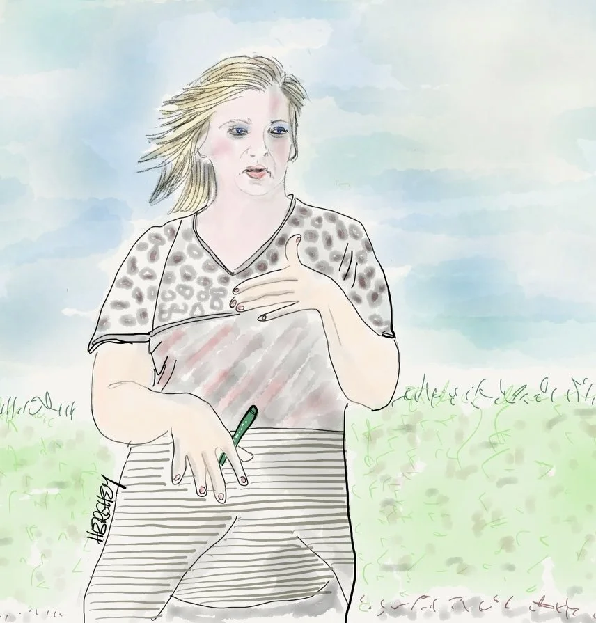
Jessica is the town clerk in Brilliant, Alabama. She came out of her office to welcome us while we took a picture of the City Hall and Water Department sign. After some pleasantries, we asked Jessica about Brilliant’s water supply. She explained the town is building a new water tower supplied from local wells with help of the governor and a state based economic development organization (and most likely block grants from the 2021 Infrastructure Investment and Jobs Act). This new water tower will supply water for nearly 500 residents and 36 businesses. Jessica, a lifelong Alabaman, proudly waved at a passing school bus carrying the local baseball team (including her two teenage sons) to a nearby high school. Her warmth and hospitality were topped off with a pen from the mayor. Brilliant town promotion in Brilliant!
Drawing by Jenny Hershey. Follow her on Instagram @deeofo.
Jackson is a canary in a coal mine. Even currently “adequate” infrastructure will become increasingly compromised as the climate grows hotter, dryer, and wetter. There are an ever-increasing number of hot spots worldwide where climate change is driving cycles of flooding, drought, water stress, interruptions in agriculture and subsequent famine. Perhaps the most dire situation of all is unfolding in the Horn of Africa, where drought is forcing millions of people into what Inside Climate calls a “raging food catastrophe.” And all around the world major rivers are drying up, including the Rhine and the Loire in Europe. Water flow through China’s massive Yangtze River is more than 50% below the average of the last five years, threatening the water supply of 400 million people. Closer to home, the Colorado River, which supplies drinking water for 40 million Americans and irrigates 7 million acres of our farmland, is suffering through the the worst dry spell in 1200 years. Though an unusually wet winter has provided temporary relief it’s nowhere near enough to fill the deficit. At the same time, many of the western states that saw record-breaking amounts of rain and snow over the winter are experiencing rapid spring snowmelt, which is becoming a massive flood threat. In California, thousands of acres are already underwater and that land area is expected to triple by summer.
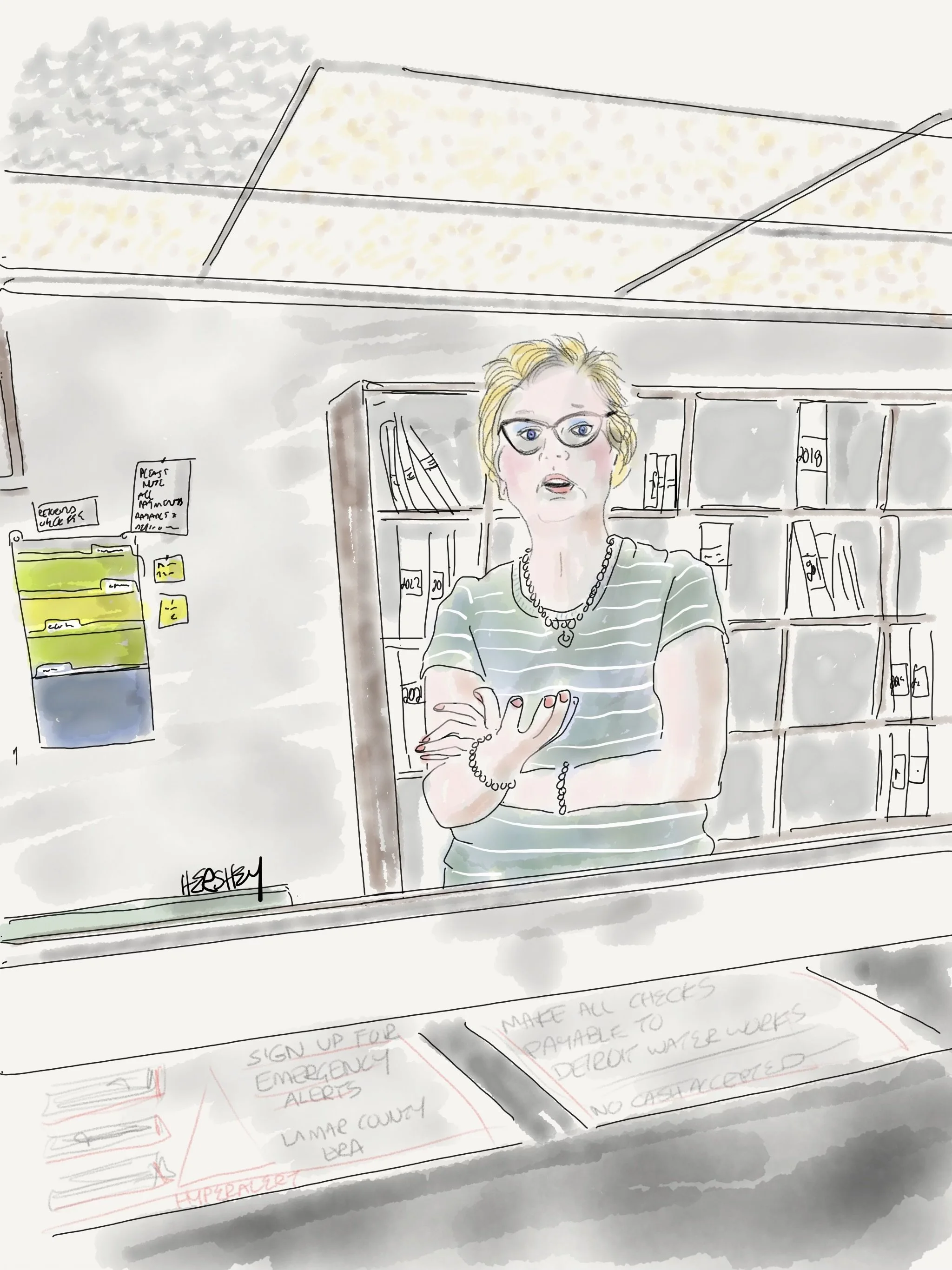
Frankie works part-time at the water department in Detroit, Alabama (population of 150 people). Water comes from a nearby well and costs the residents $20 for 2000 gallons. A replica of a check for $350,000 for water infrastructure improvement from the governor hung on the wall behind her, demonstrating the state’s commitment to helping local communities. Frankie served as county clerk for 30 years in nearby Hodges and was blunt about extreme weather threatening the region. A devout Christian, Frankie belongs to a missionary group that rebuilds churches after floods, windstorms and tornadoes. Many of their projects are for African-American congregations. When we asked her what she thought was driving the increase in tornadoes in her area she replied, “I think it’s the end-times.”
Drawing by Jenny Hershey. Follow her work on Instagram @deeofo.
Our route toward Little Rock from Birmingham took us west through the hill country of Jasper and Hamilton in western Alabama and then through beautiful farm country to Amory, Mississippi. You might have heard of Amory for several reasons. For one, a devastating tornado ripped through the town on March 25, 2023. There was widespread damage, and even Amory’s water treatment plant took a direct hit. Thankfully, Amory got its water running after a boil advisory that lasted only about a day. Even better, no one died in the town (although there were three deaths in Morgan County, where Amory is located).
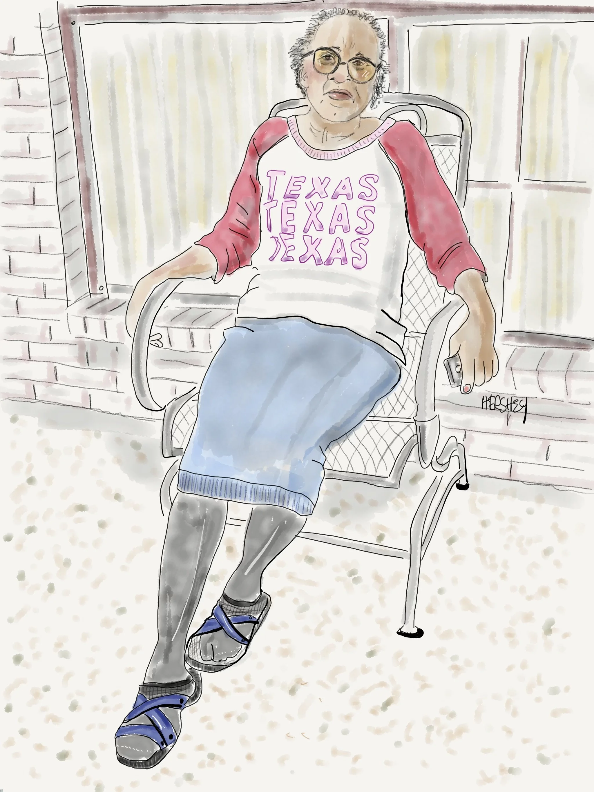
Brenda, a woman of strong faith, prayed hard in her home as she huddled with her two brothers when a tornado struck her neighborhood in Amory, Mississippi. After the storm passed, she walked outside to find her front porch missing, although her home remained intact. A huge tree was lying on her neighbor’s house. Luckily, her neighbor survived by sheltering in the back of her house. Miraculously, no one in the town was killed, despite the tornado’s widespread devastation. When we came across Brenda, she was relaxing outside in a chair where her porch had been only days before, taking in the sunshine.
Drawing by Jenny Hershey. Follow her on Instagram @deeofo.
Other places were not so lucky. Over a dozen tornadoes tore through Mississippi and Alabama during the same storm, leaving at least 26 dead and a swath of destruction 100 miles wide and devastating the communities of Rolling Fork and Silver City, Mississippi. We considered biking to Rolling Fork just as we had considered stopping in Jackson but decided we didn’t want to be in the way or use resources needed by first responders. From what we understand, homes and businesses have been reduced to rubble. The recent tornadoes stretched from the Louisiana border of Mississippi through Alabama as part of a supercell, or rotating thunderstorm - a rare, extended path for such a storm.
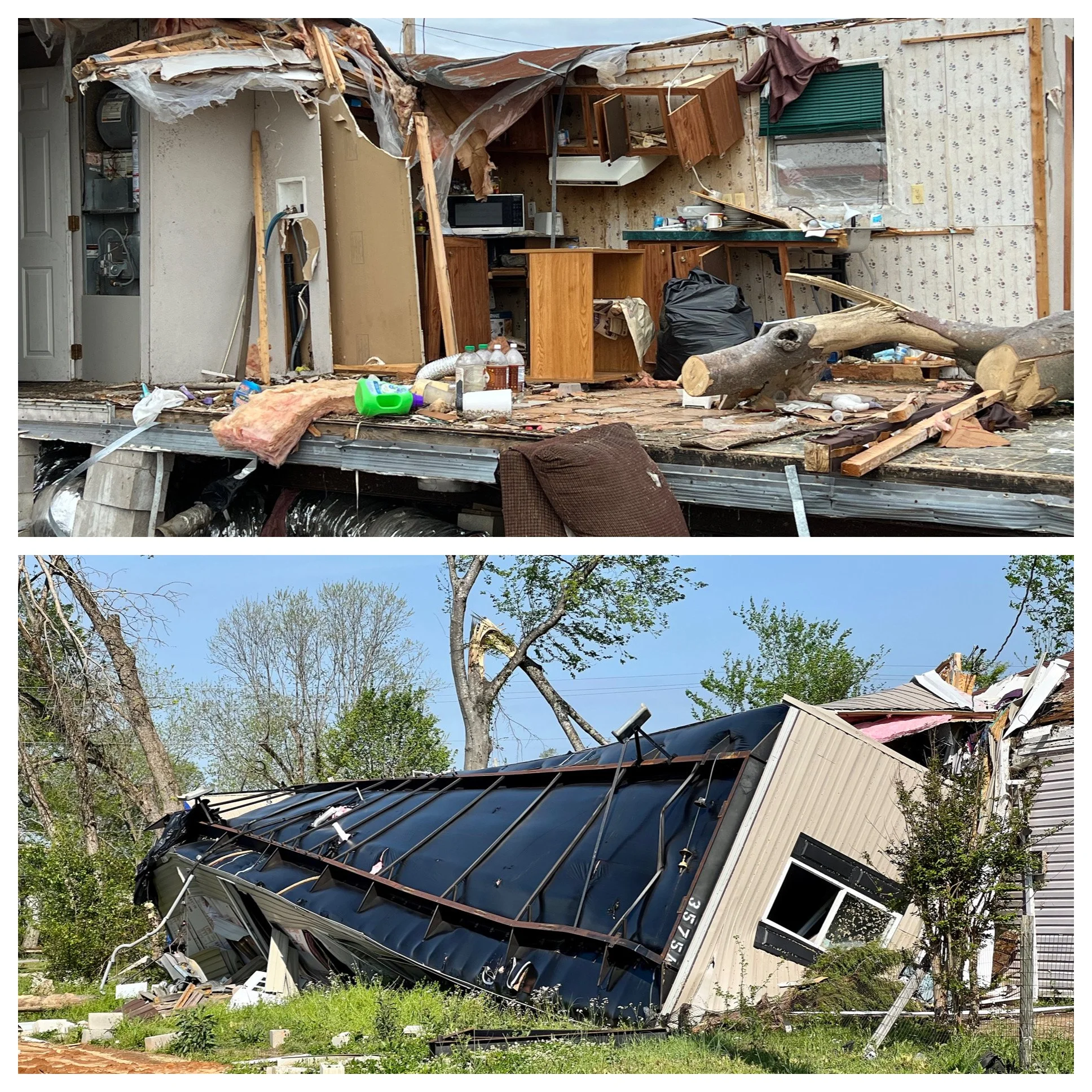
We saw at least 3 trailer homes that had been ripped off their foundations and were upside down, making it clear that a trailer home is not a safe place to be during a tornado. Yet, in low income neighborhoods they are very common. The average cost of a typical single-family home in Mississippi is $144,074. In contrast, the average cost of a single-wide mobile home is $37,100 and double-wide mobile home is $73,600. Top photo by Jenny Hershey @deeofo and bottom photo by Michael Chase @mjohnsonchase.
Climate scientists have not been able to determine if there is a link between climate change and the frequency or strength of tornadoes. The primary tool scientists use to attribute extreme weather events to climate change is intensive computer modeling based on large amounts of aggregated data. This is difficult to achieve with tornadoes because of the localized conditions that determine their formation, combined with their relatively small size over a given region. Yet, scientists affirm that tornadoes are occurring in greater clusters, and the region of the United States in the Great Plains where most tornadoes occur (known as Tornado Alley) appears to be shifting eastwards toward more populated regions in the southeast. Therefore, tornadoes may be in the news more because more people are being impacted.
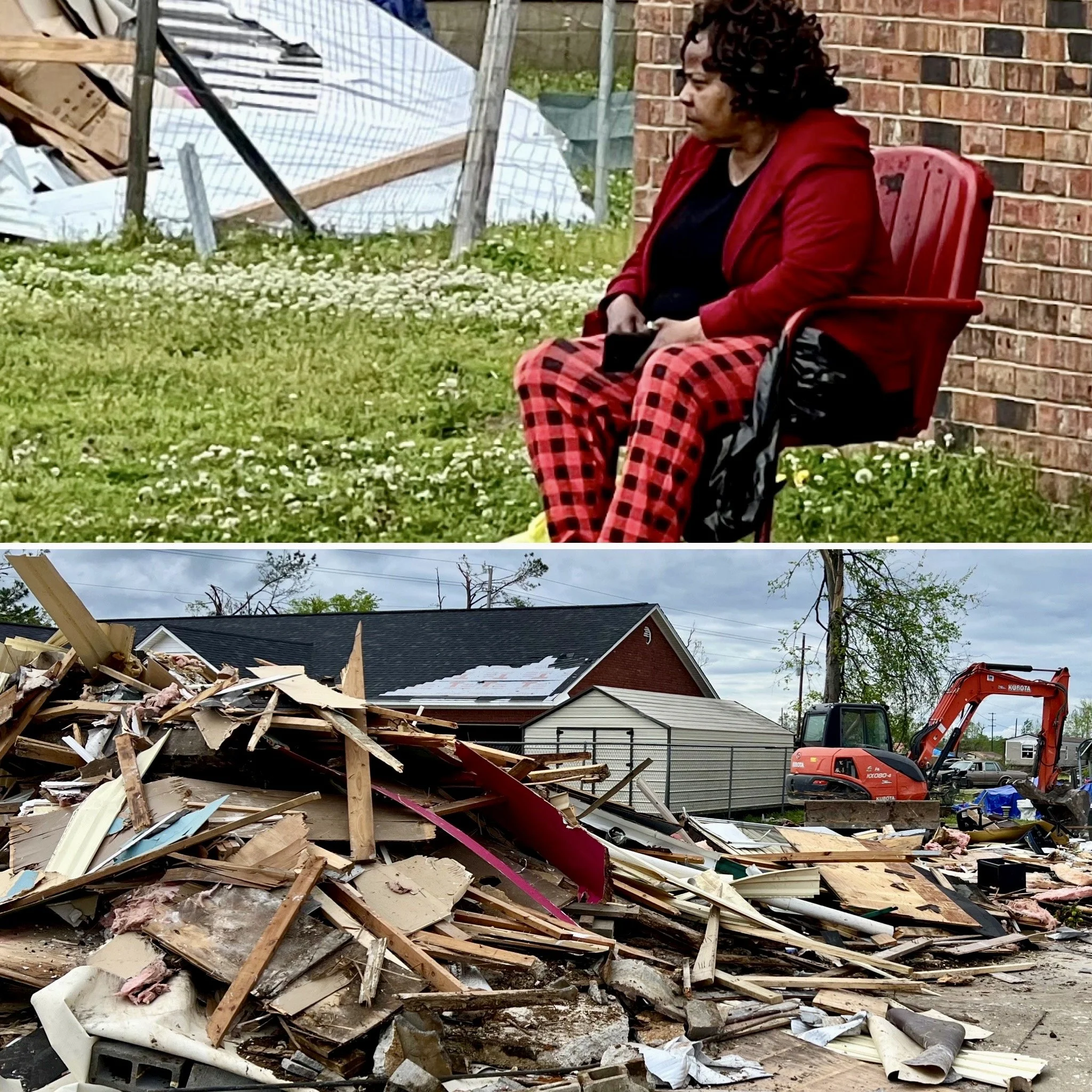
While biking through Amory, we noticed the woman above watching an excavator consolidate the debris below into a pile. When I asked her if she lived in the still-intact house behind her, she shook her head no and pointed to the pile of debris. She clearly didn’t want to talk, so we expressed our condolences and quickly moved on. Photos are by Michael Chase. Follow him on Instagram @mjohnsonchase.
Tornadoes form inside large rotating thunderstorms when the ingredients are just right; a perfect mix of temperature and a specific moisture and wind profile. This suggests that an increase in water vapor and precipitation, indicative of climate change in the southeastern region, may be contributing to the shift eastwards. In any case, when air is unstable, cold air is pushed over warmer humid air, creating an updraft as the warm air rises. When the wind speed or direction changes over a short distance, the air inside the clouds starts to spin. If the air column begins spinning vertically and rotates near the ground, surface friction can accelerate the air even more. All these features must come together to cause a tornado to form. And despite their small size compared to an atmospheric river or a hurricane, they can be quite devastating. I certainly hope Jenny and I are lucky enough to avoid them on our travels, and my heart goes out to anyone forced to live through a direct hit.
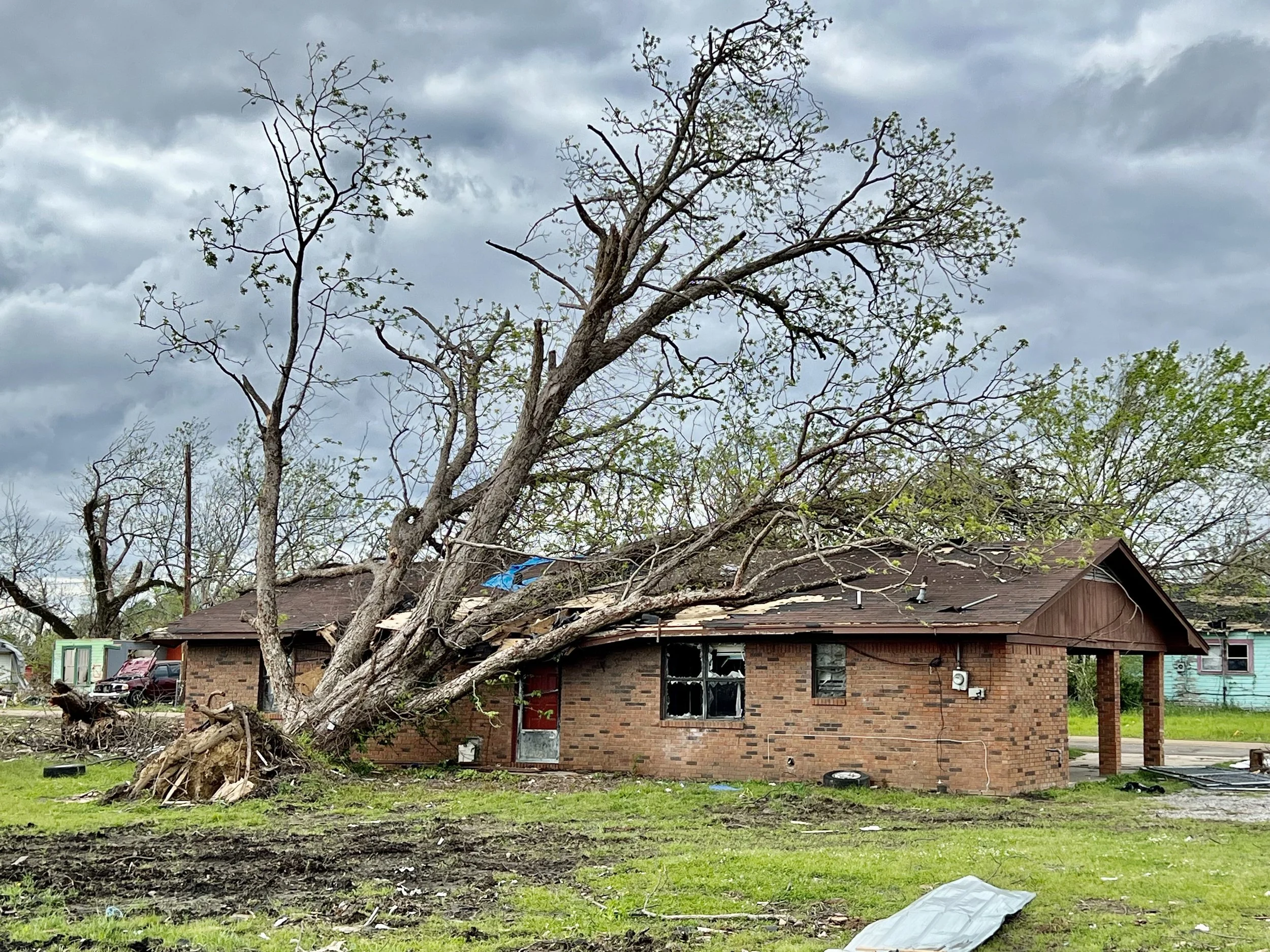
A large tree rests on a home in the northwest section of Amory. Sadly, the tornado’s path tore through the least affluent part of town, underlining the reality that the most vulnerable among us are often the most affected during weather-related disasters. Photo by Jenny Hershey. Follow her on Instagram @deeofo.
In Amory, and especially for Rolling Fork and Silver City, recovery from the tornado damage is uncertain. FEMA is out in force, but the devastation is quite extensive. Here’s how to help those impacted.
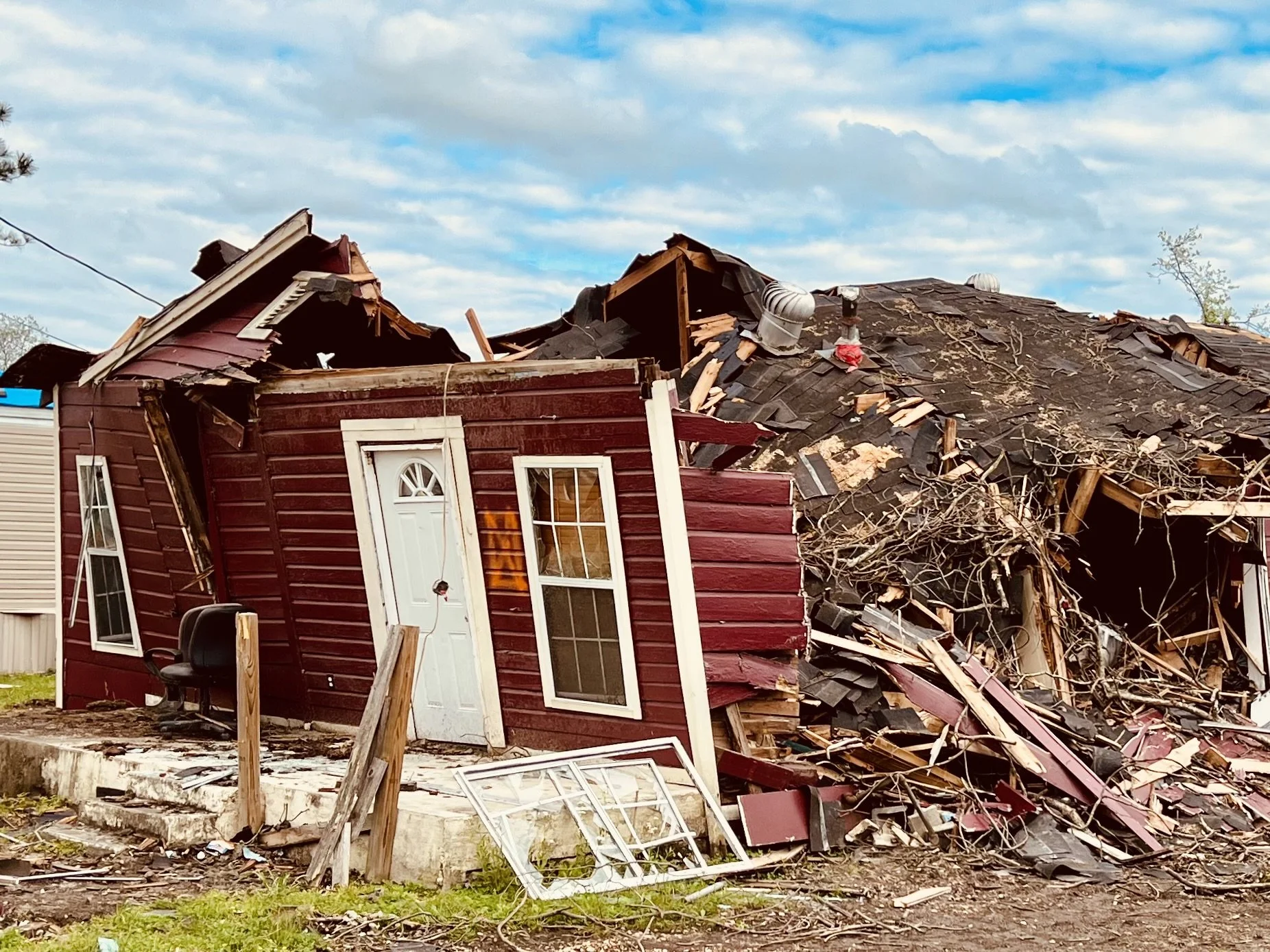
Another photo from Amory, Mississippi. Interestingly, meteorologists measure the strength of a tornado by the destruction it leaves in its wake because it is almost impossible to measure a tornado while it is active. Photo by Michael Chase. Follow him on Instagram @mjohnsonchase.
The second reason you may know about Amory, Mississippi, is more fun. Two residents from Morgan County are competing in the 21st American Idol contest: Colin Stough and Zachariah Smith, both of whom have wowed the judges in their solo auditions. It’s striking that so many fine American gospel, blues and country musicians have come from the rural South. Still, Amory has the distinction of also having the 2015 American Idol winner, Trent Harmon. This is a good news story, and you can check out the contestants at the links above.
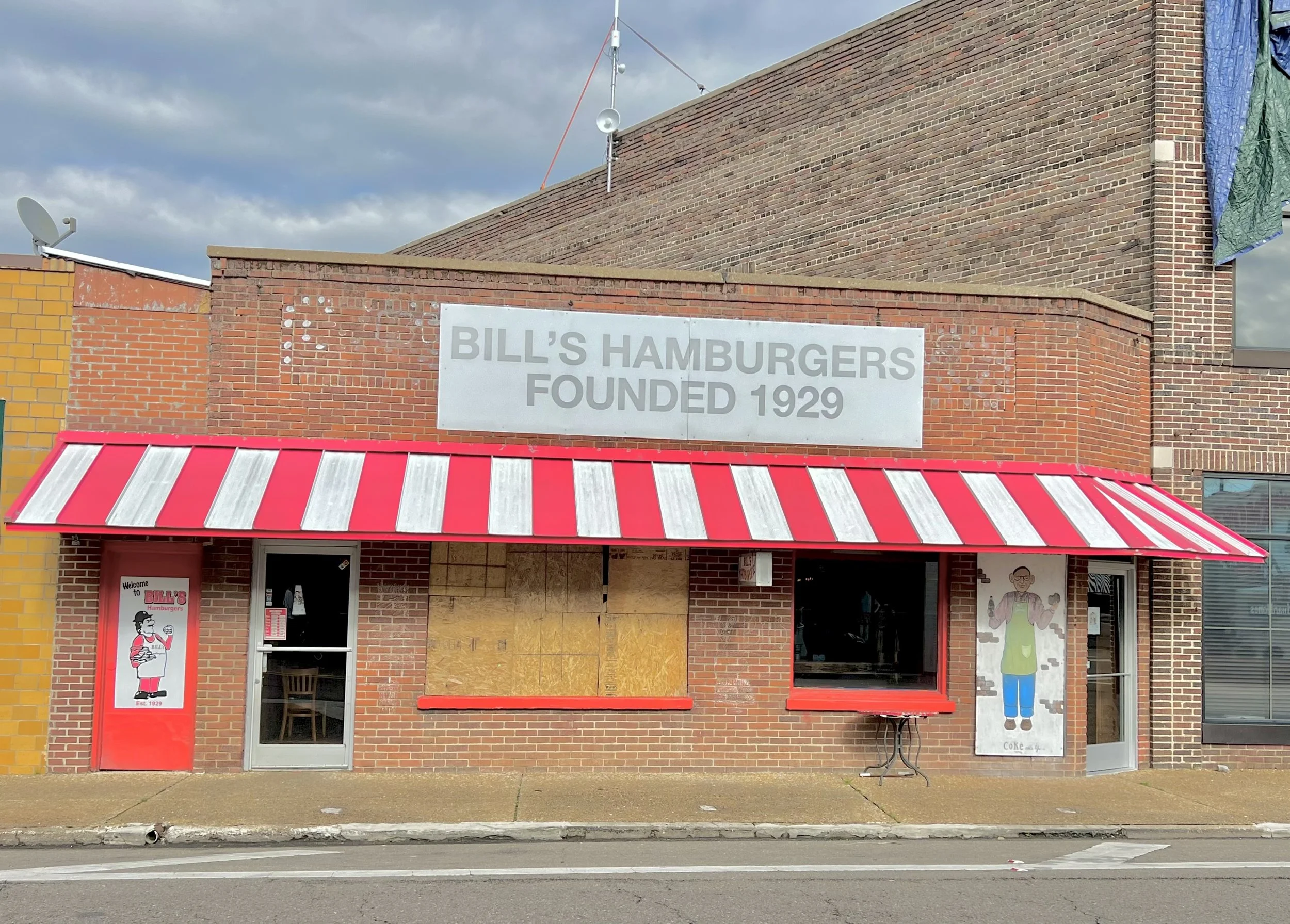
Bill’s Hamburgers sits temporarily closed after the Amory tornado, where 2023 American Idol contestant Zachariah Smith flipped over 400 hamburgers every Saturday. Photo by Jenny Hershey. Follow her on Instagram @deeofo.
Stay vigilant! Thanks for reading. Part 2 of this series will come soon. If you haven’t done so, please subscribe to this blog to follow our next biking trip.
Blog writing by Michael Johnson Chase. Drawings by Jenny Hershey. Unless credited or otherwise noted, all material is the copyrighted property of the blog post authors.
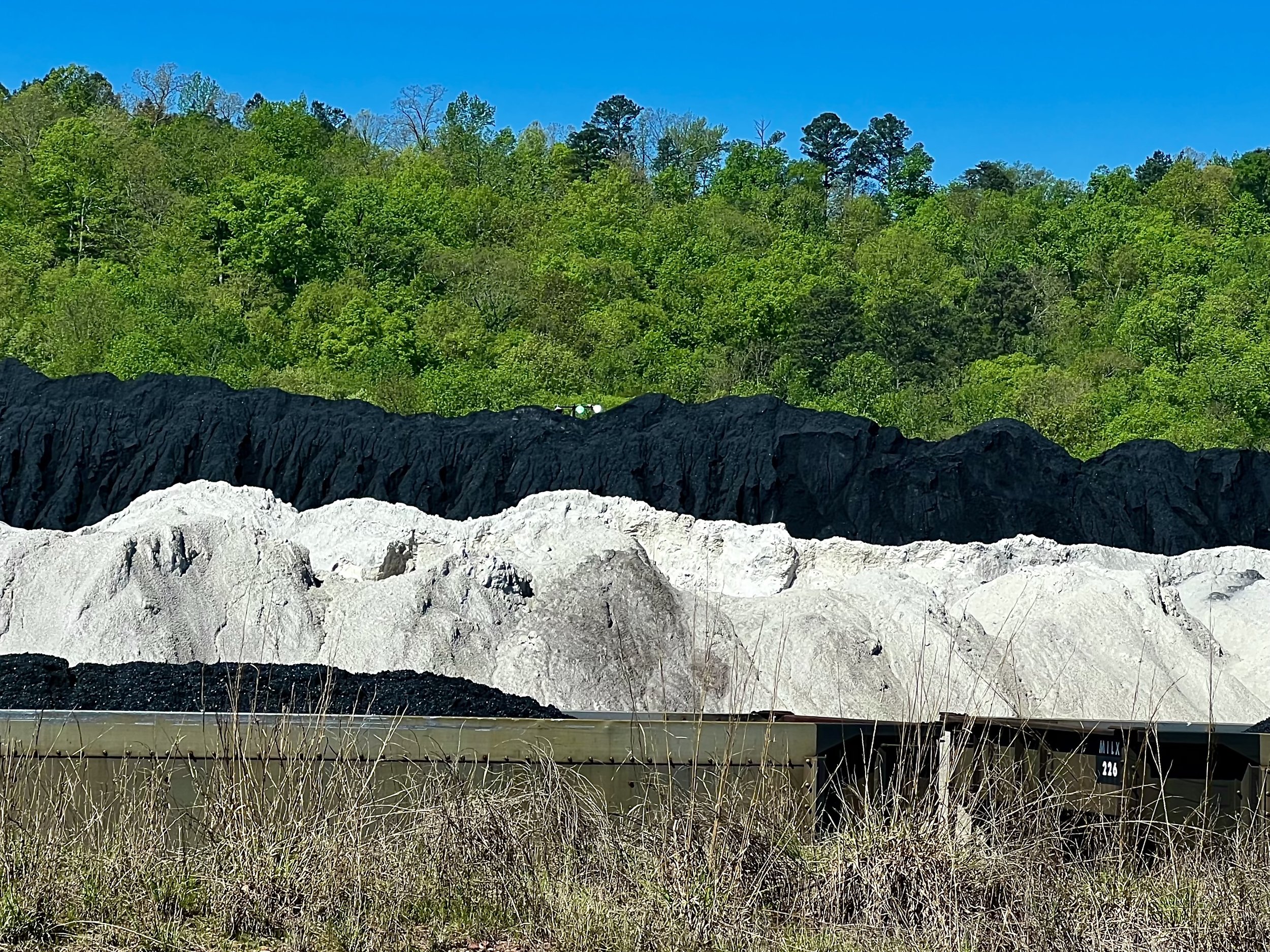
Although coal powers 18% of the electricity in Alabama and only 8% in Mississippi, coal still powers 50% of the electricity in Arkansas. We are a long ways from “electrifying everything,” but the vision and template to get there is a big part of the Inflation Reduction Act. If we care about young people, public health, and economic well-being, we must all work hard to utilize this bill's opportunities. Photo by Michael Chase. Follow him on Instagram @mjohnsonchase.
Money Talks and Goliath Walks; Biking from Birmingham to New Orleans
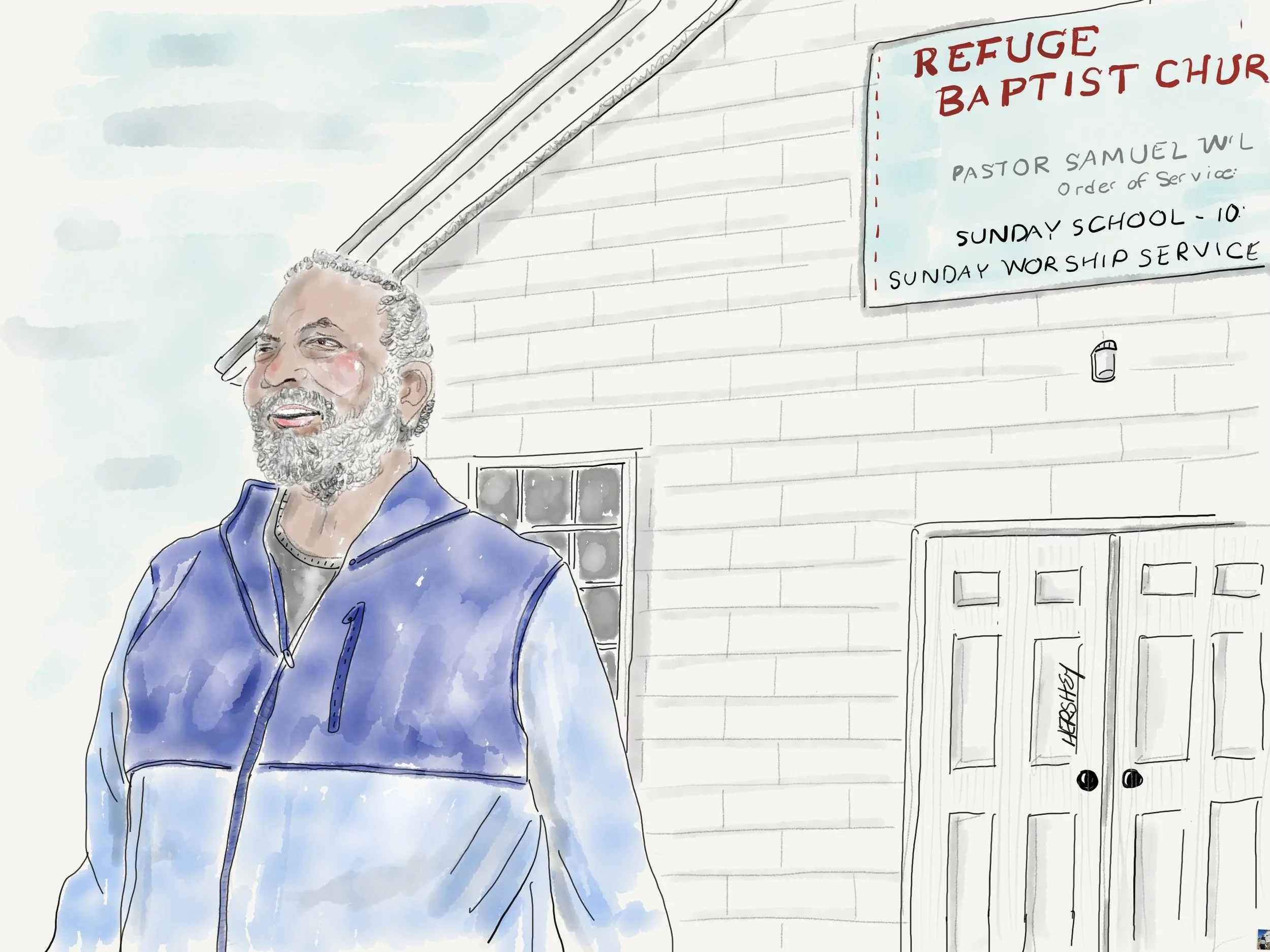
Jenny and I met Pastor Samuel Williams on the outskirts of Tuscaloosa. Although he was fixing a frozen water pipe outside his church (which had prevented him from having services that day), he stopped working and gave us his full attention when we asked about a closed road ahead. A patient and charitable man, the Paster’s dedication to spiritual life was palpable, and he seemed to exude peace and happiness. When he learned we live in New York City, he asked us immediately if we had been affected similarly to Buffalo. We told him thankfully not, although NYC was experiencing its own extreme weather with unusually warm temperatures for January with lots of rain. But we had woken up to 28 degrees Fahrenheit in Tuscaloosa that morning, so it was easy to understand why his pipe had frozen. We all had a good laugh about how unpredictable the weather was growing. As we started to bike away, Jenny reflexively remarked, “Take care, Pastor Samuel.” The Pastor’s response took us by surprise “According to scripture, taking care means a person is experiencing anxiety and needs to give it away to God. So I think you mean take it easy”. So be it, Pastor Samuel. We’re taking it easy… Drawing by Jenny Hershey. Follow her work on Instagram @deeofo.
“We must accept finite disappointment, but never lose infinite hope.”
–Martin Luther King, Jr.
Finally Jenny and I are back on the road, this time in the Deep South. After a hiatus in bike touring to manage some family affairs last summer, we were fortunate enough to take an early autumn bicycling tour through the northeast and a bit of Quebec. I was about to publish a post late in that trip when both Jenny and I contracted Covid. While recovering, my mood grew so dark that I abandoned the post (I have since learned that depression can be a symptom of Covid). I didn’t want to inflict my grim mood on others - and there’s only so much one can say about the growing potential for societal collapse if GHG emissions continue to rise (alas, it looks like we will increase GHG emissions yet again in 2023). It had already been a very rough year for extreme weather events, foreshadowing deeper challenges to come as our climate grows less stable.
A statue of the girls who perished in the 16th Street Baptist Church bombing in Birmingham, Alabama on Sunday, September 15, 1963. Described by Martin Luther King as "one of the most vicious and tragic crimes ever perpetrated against humanity," the explosion at the church killed four girls and injured between 14 and 22 other people. Photo by Jenny Hershey. Follow her work on Instagram @deeofo.
And as usual, the most vulnerable among us are the impacted the greatest. I was feeling especially bad for people in the global south who have been ravaged by climate related disasters. I was also discouraged by the game of chicken underway by a few members of Congress as meaningful climate legislation was repeatedly on, and then off, the table. Although I knew the world was about to break yet another GHG emissions record for 2022, I didn’t know until late in the summer that Chuck Schumer, Joe Manchin and other Senators were engaging in backroom log rolling toward a revised version of the Build Back Better plan. Had I known, I might not have been so discouraged.
A statue in Kelly Ingram Park in Birmingham commemorating student protests that occurred for weeks after the 16th Street Baptist Church bombing, bearing the inscription “ “I ain’t afraid of your jail.” Photo by Michael Chase. Follow his work on Instagram @mjohnsonchase.
You may have felt similarly. Just to remind us of how extreme weather events are both speeding up and cascading, here is a cursory review of global events from the spring of 2022 through the early winter of 2023:
As a result of persistent droughts, communities across Africa, including Kenya, Nigeria, Ethiopia, and Somalia currently face the worst food crisis seen in 40 years. Earlier in the summer of 2022 more than 2,000 people died in Spain and Portugal during a brutal heatwave, while drought in Somalia displaced more than a million. In the United States, climate-related disasters exceeded $1 billion in damages the first 6 months of the year, including the ongoing drought in the west and southern plains and a tornado outbreak in Alabama, Florida, and Mississippi in March. In late July heavy flooding in eastern Kentucky killed at least 38 people. Also in July, parts of the United Kingdom saw temperatures soar for the first time ever to 104 degrees Fahrenheit, and much of Europe similarly suffered. In Pakistan, one third of the country experienced widespread destruction from three months of heavy rains after a prolonged period of heat in the spring. Flooding killed more than 1,400 people across the country during the summer and damaged or leveled more than a million homes, including many that were swept away by water. In total, over 30 million people have been affected. Additionally, Pakistani farmers lost up to a million head of cattle as well as 90% of the country’s fall harvest. Now starvation looms for millions of people as Pakistan faces a “second wave of death” that is likely to spiral toward implosion without major global assistance. September brought Hurricane Ian to the Caribbean and Florida, upending the lives of thousands, killing 109 people in the US alone, and resulting in a staggering $100 billion in damages. Then, a record-breaking snowstorm and polar vortex slammed much of the midwestern and northeastern US in January and produced a massive snowstorm that killed over 40 people in Buffalo in early 2023. That tragedy was followed by three weeks of extraordinary rain in California as a stubborn weather pattern sent wave after wave of tropically-infused atmospheric rivers, triggering widespread flooding, landslides and power outages across the state. At the same time, the mountains were buried under several feet of snow. 22 people were killed, and damages are still being assessed. Shortly thereafter, there were record breaking rains in New Zealand, freezing cold across the South and a polar vortex in New England. …and it’s only going to grow worse. Buckle your seat belts, folks. That's only the beginning.
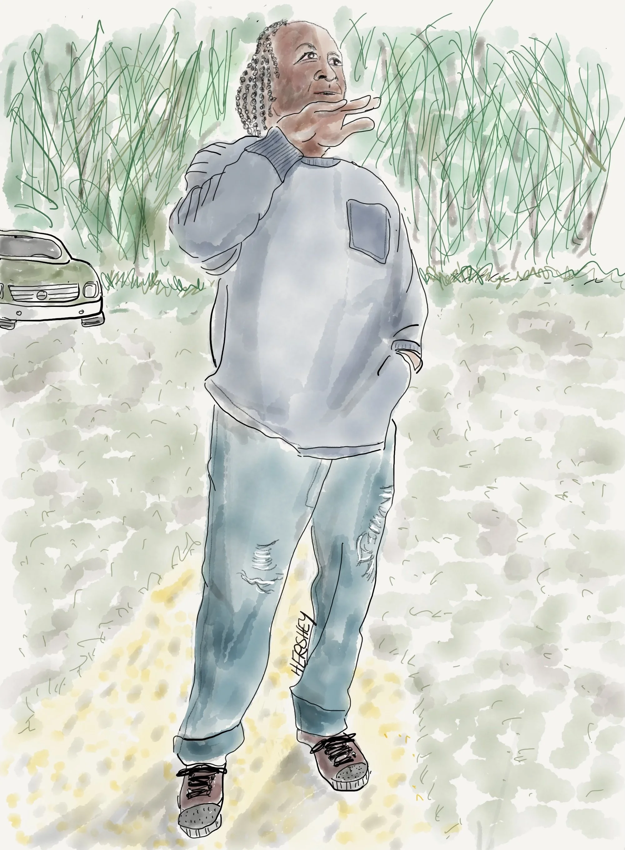
We met Joe deep in the countryside outside of Fosters, Alabama. He was content grazing his six cows on a neighbor’s land across the road. He is hoping for a little growth in his herd when a bull joins his girls next month. He also enjoys a small herd of goats that roam freely on his property just because, “he likes them.” Joe lives a simple life by making and selling his own BBQ sauce. He lives a cherished “second life” after a near-death automobile accident (during the Covid pandemic) that laid him up for over a year. Drawing by Jenny Hershey. Follow her work on Instagram @deeofo.
As I recovered from Covid my depression began to lift, yet I continued to wrestle with my grim perspective of the future. It helped to study two bills passed in the last Congress - the Inflation Reduction Act and the bipartisan Infrastructure Investment and Jobs Act. Almost as an act of will, I have chosen to believe in their potential. While I am certain that significant change is coming straight at us, things can - and may - change as much for the better as they can for the worse. Perhaps society will re-organize in an increasingly aggressive climate in a manner to avoid civilizational collapse, maybe making civilization even more - well, civilized. In any event, I have decided that a curated vision of the worst possible outcome is not good for one’s mental well-being - even if one is proved right. I’d so much rather be proved wrong.
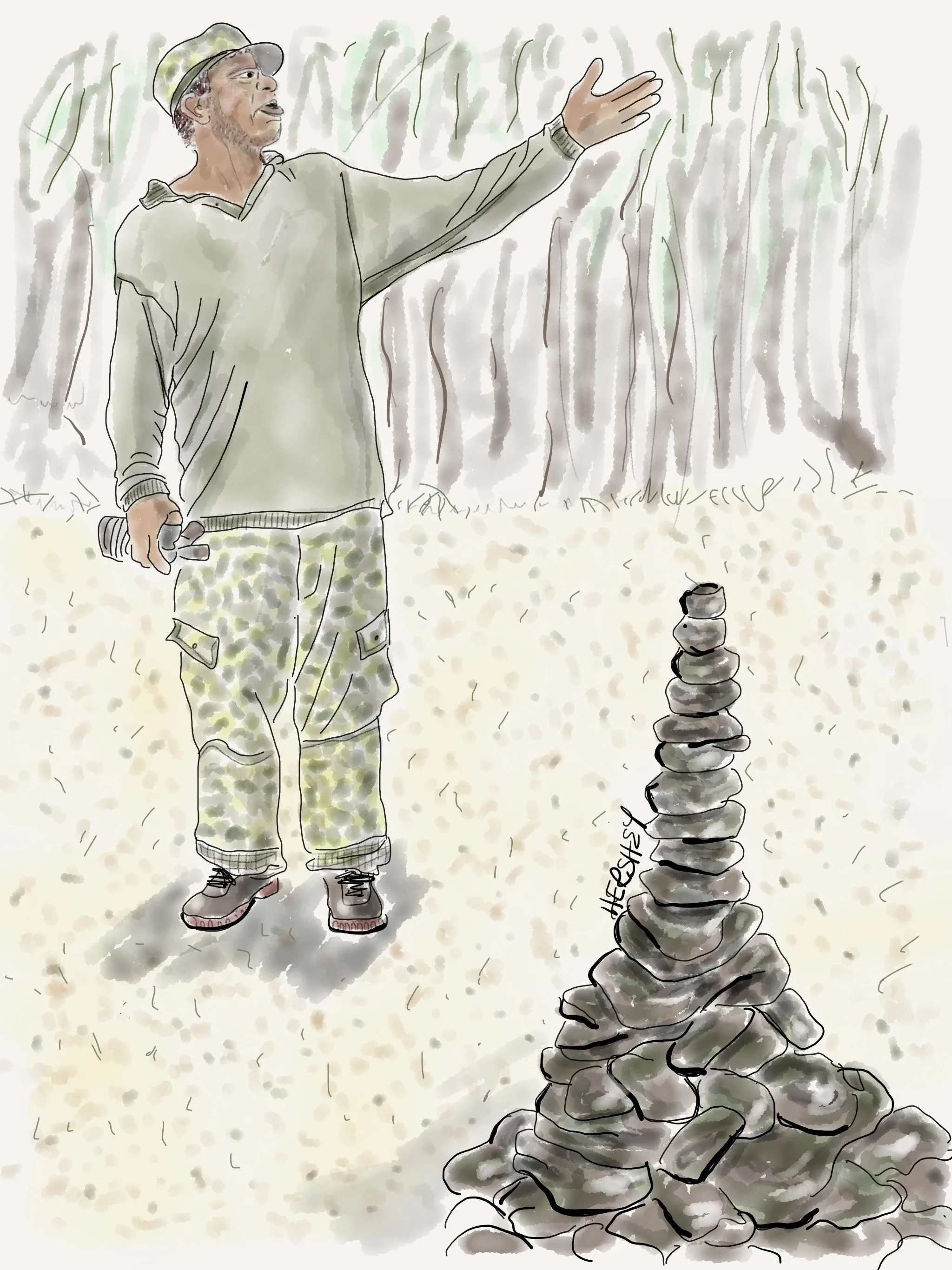
“God spoke to me, and told me to build it”! said Lester. We met him while biking on Route 11 in Jasper County, Mississippi. Busy clearing brush, he stopped to proudly showed us his cairns at the base of his driveway. Lester still cares for his disabled daughter after his wife died from diabetes 15 years ago. His older daughter works in the big city of Hattiesburg, MS. A simple man who has worked hard all his life caring for others, Lester finds solace and support in his local church. He was quite enthusiastic about the important and accomplished people that attended a recent service at his church commemorating Martin Luther King. Drawing by Jenny Hershey. Follow her work on Instagram @deeofo.
Jenny and I believe that tracking the implementation of the Inflation Reduction and the Infrastructure Acts over the coming years will be the focus of future our biking tours as climate investments are scaled up. If all goes well, over the next decade the world will witness widespread growth in renewable energy, grid modernization, electrification of our transportation and building systems (in spite of the ridiculous culture war in the US over stoves), the growth of hydrogen-based fuel for long haul transport and some forms of heating, and - if safety and siting concerns are adequately addressed - deployment of carbon capture, storage and industrial uses for carbon. Below is a graph that shows how both bills will complement each other.
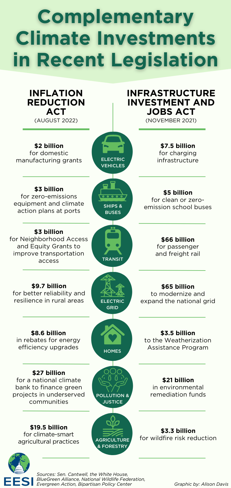
This graph can be sourced here. Along with tax reforms (which are under threat of repeal by the new Congress) and investments in healthcare, the Inflation Reduction Act provides $369 billion to address climate through tax credits for clean energy and electric vehicles, by boosting energy efficiency, establishing a national climate bank, supporting climate-smart agriculture, bolstering production of sustainable aviation fuel, reducing air pollution at ports, and more. The law represents the boldest action Congress has taken on climate yet—if enacted successfully and quickly enough, it will put the United States on a path to reduce greenhouse gas emissions by 40 percent below 2005 levels by 2030, according to several independent analyses. That is, of course, if implementation is both rapid and effective. Additionally, the Infrastructure Investment and Jobs Act provides complementary investments in energy modernization, transportation, workforce development, and building decarbonization.
We are pleased that the bipartisan infrastructure bill provides $66 billion to rebuild our decaying US rail system, because Jenny and I are supporters of combining train travel and bike touring. We started our current trip in the Deep South by taking a train (with our bicycles onboard) from Penn Station, New York, to Birmingham, Alabama - leaving on a rainy and uncharacteristically warm New York City in mid-January, and arriving in an uncharacteristically cold Birmingham the next day. We set out on our bikes for Meridian, MS, intending to catch a train to New Orleans and then another to San Antonio (we had purchased multi-ride ticket passes). But upon our arrival in Meridian we discovered that track work was limiting the number of trips on the Crescent line so there was no train for four more days. We decided to bike to New Orleans instead. We are glad we did. Serendipity has its place, especially when traveling on bicycles.
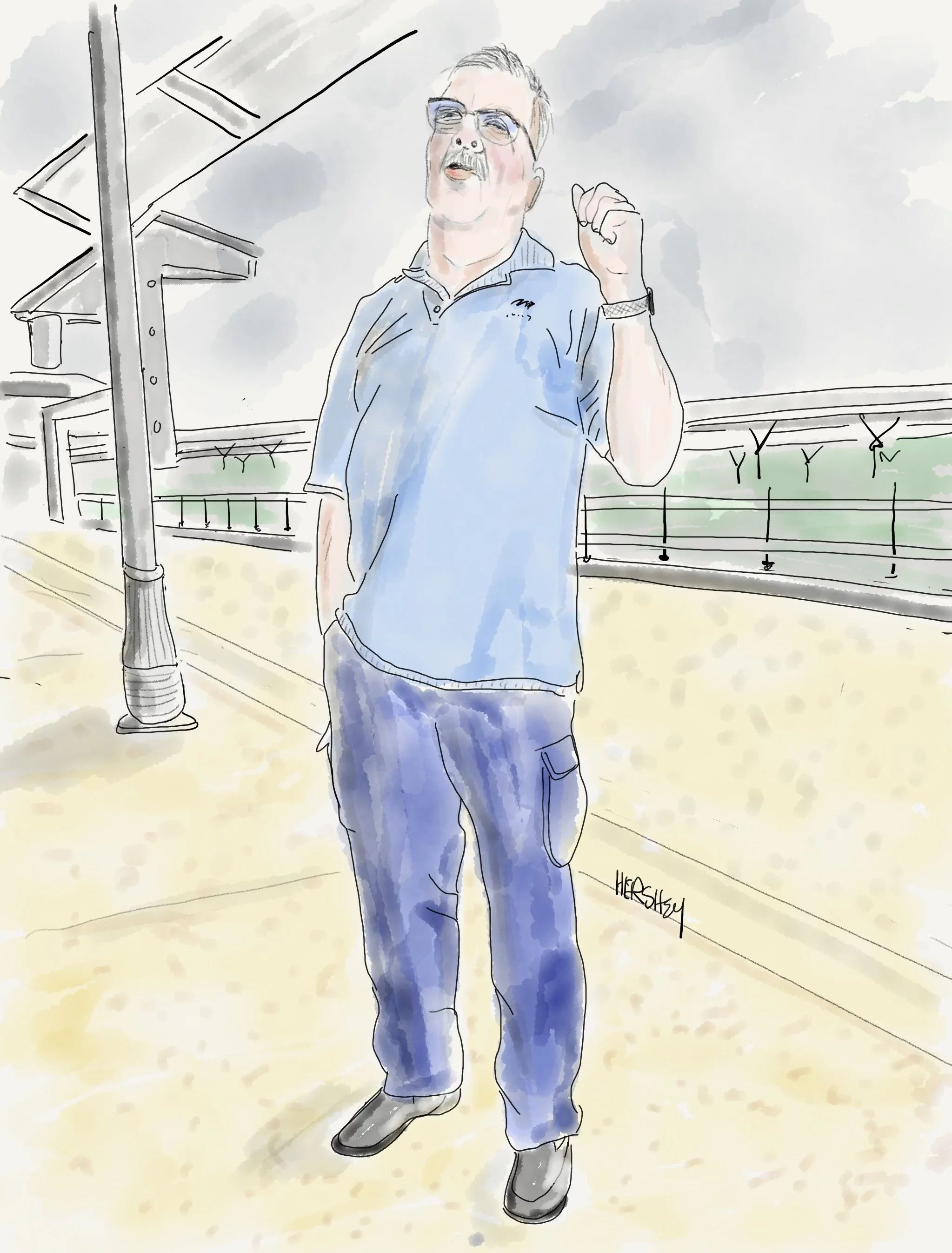
Bunky is the Amtrak Station Manager in Meridian, Mississippi. When we learned our intended train to New Orleans was delayed for four days, he took us out on the station platform and shared quite a bit about the history of Meridian. A proud yet humble man, Bunky also shared his previous life as the Fire Chief of Meridian, and held us rapt as he recounted the time a plane crashed on the interstate that passes through town. But his biggest challenge was getting to New York a week after 9/11 to help restore order and rescue firefighters and civilians at the World Trade Center. That fact alone inspired our trust, so when Bunky encouraged us to go to the Mississippi Arts Museum, we said of course we would. Modern and interactive, the museum is extremely well curated and it inspired us to stay longer in Mississippi, so we decided to forgo our plans to get to Texas, and instead bike to New Orleans through Mississippi. The South had us hooked. Drawing by Jenny Hershey. Follow her work in Instagram @deeofo.
We’ve been on our bikes ever since, with our eyes open for early indications of progress in climate infrastructure development that might link to either legislation. What we found surprised us. I was researching early climate infrastructure projects while spending a rainy day in a motel in Bogalusa, Louisiana, when I encountered an interesting story about Parish Councils near Lake Maurepas to the west of New Orleans.
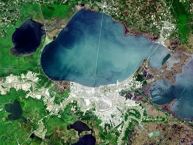
Lake Maurepas is in the upper left of this satellite image of southeastern Louisiana. Lake Pontchartrain lies to its east, with New Orleans about 25 miles away along Pontchartrain's southern shore. (Satellite image via Wikimedia Commons.)
In October 2021, Louisiana Governor John Bel Edwards announced that Air Products, a multinational chemical company based in Pennsylvania, will invest $4.5 billion to develop a “clean” energy complex in Ascension Parish, Louisiana, by 2026. This project involves the construction of a new plant in the unincorporated community of Burnside (across the Mississippi River from Donaldsonville, a petrochemical capital of Louisiana) to convert natural gas to “blue” hydrogen by capturing the resulting carbon dioxide. The plant will use its own preexisting pipeline infrastructure to ship hydrogen to market, and build a new pipeline through the largely untouched Lake Maurepas marsh to transport the resulting CO2 about 30 miles to injection wellheads for permanent storage under the lake.
In this instance, the CO2 created as a byproduct of cracking methane (which makes up about 70-90% of natural gas) to form hydrogen will be compressed into a denser liquid-like form, and injected into geological formations called saline aquifers (a layer of porous rocks saturated with salty water) 7000 feet under Lake Maurepas. Apparently, saline aquifers are ubiquitous across much of southern and coastal Louisiana, so given the intensity of the petrochemical industry here, it seems likely there will be many more proposals made by fossil fuel companies to store CO2 in the Gulf coastal region.
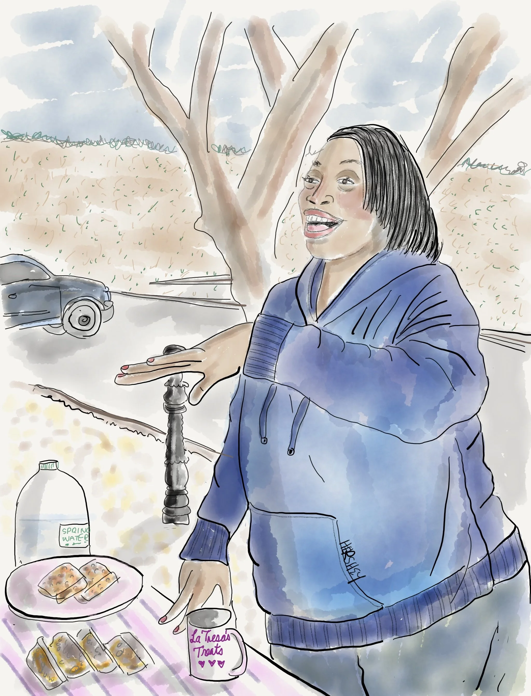
Ms. Rosalyn radiated joy. A talented baker and co-owner of LaTresa’s Treats, she tempted us with her homemade pecan squares at the small weekly farmer’s market on the town square in delightful historic Hattiesburg, Mississippi. “They taste like heaven” she assured us, “if you like pecan pie, you’ll love these squares”… Sampling one that evening for dessert, we discovered Ms. Rosalyn was right. Imagine something that tastes better than a piece of pecan pie! And she’ll ship them! You can order them here. Drawing by Jenny Hershey. Follow her work on Instagram @deeofo.
Interestingly, hydrogen is described by colors as shorthand for how it is created. Although hydrogen is the world’s most plentiful chemical, it doesn't exist on its own in nature; instead it bonds to other chemicals and is most abundant as H2O. It is also present in the atmosphere and in methane. Hence, hydrogen made from burning natural gas is referred to as “blue” when the carbon is captured, “grey” when carbon escapes into the atmosphere, and “green” when it is cracked or separated from water through electrolysis using electricity made from renewable sources. Only green hydrogen can be made without creating CO2.
When blue hydrogen is manufactured and the resulting CO2 emissions are captured and stored underground, the process is often described by the manufacturer as carbon-neutral. And although Air Product’s proposal is touted as such, closer examination suggests otherwise. Some studies suggest that the carbon footprint of blue hydrogen is 20% larger than gas and coal for the energy required to crack the hydrogen. That doesn’t count the CO2 the process creates, which is what Air Products intends to capture and store. Additionally, natural gas production inevitably results in methane emissions from so-called fugitive leaks, which are leaks of methane from the drilling, extraction and transportation process.
Although fossil fuel companies claim they have years of experience storing carbon, they usually fail to mention their experience is with enhanced oil recovery (EOR), which involves injecting carbon dioxide into oil wells to coax out hard-to-get oil. That is not the same thing as permanent CO2 storage, which is a new technology. In fact, it is so new that there are only two long-term carbon storage wells currently in use in the US.
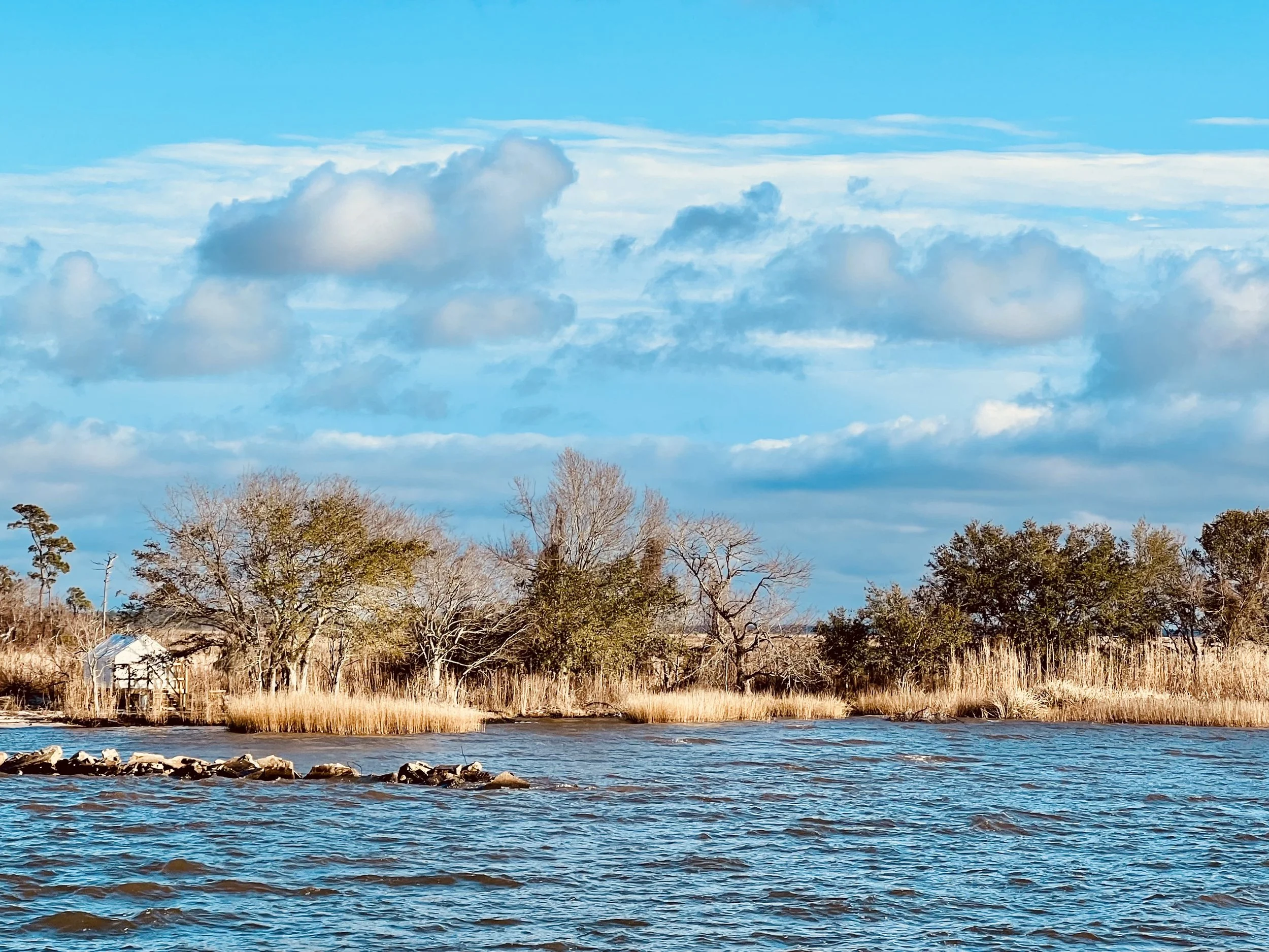
Picture taken at Fontainebleau State Park, Louisiana, on the northern shore of Lake Pontchartrain. Photo by Michael Chase. Follow his work on Instagram @mjohnsonchase.
Some people still might ask, what's the big deal? After all, we currently release about 11 million tons of CO2 into our atmosphere daily. As the longest-lasting GHG in our atmosphere, CO2 is currently at about 450 parts per every million (ppm) molecules of atmospheric gases (and rising) and that concentration doesn't impact human health yet. But to transport and/or store carbon, CO2 must be concentrated into a liquid of vastly higher concentration. Although Air Products claims their process of transfer and storage will be perfectly safe, the technology and infrastructure pose a safety risk to the communities they encounter. The bottom line is that sequestering CO2 at a commercial scale is, as yet, unproven to work in the real world.
It’s also important to be skeptical about the carbon capture rates that companies have promoted. Mark Jacobson, a professor of civil and environmental engineering at Stanford University helped publish a recent study on blue hydrogen. When interviewed by The Lens - an excellent New Orleans local news organization - Jacobson noted that methane leakage is essentially unavoidable in the blue hydrogen process. Assuming a 3.5% methane leakage rate would be conservative for a project like Air Products’. He goes on to say, “The only blue hydrogen facility that produces hydrogen from natural gas at a commercial scale for which there is relevant data is Shell’s Alberta plant, which has demonstrated a mean capture rate of 78%.” A separate analysis conducted by the watchdog group Global Witness says the figure is closer to 48%. Carbon capture prolongs the life span of industrial facilities that contribute significantly to climate change, yet according to Jacobson, carbon capture rates are inadequate, and simply not worth the investment. Yet, the fossil fuel industry is aggressively selling carbon sequestration, utilization and storage (CCUS) to the public as a safe and significant way to achieve full decarbonization by 2050.
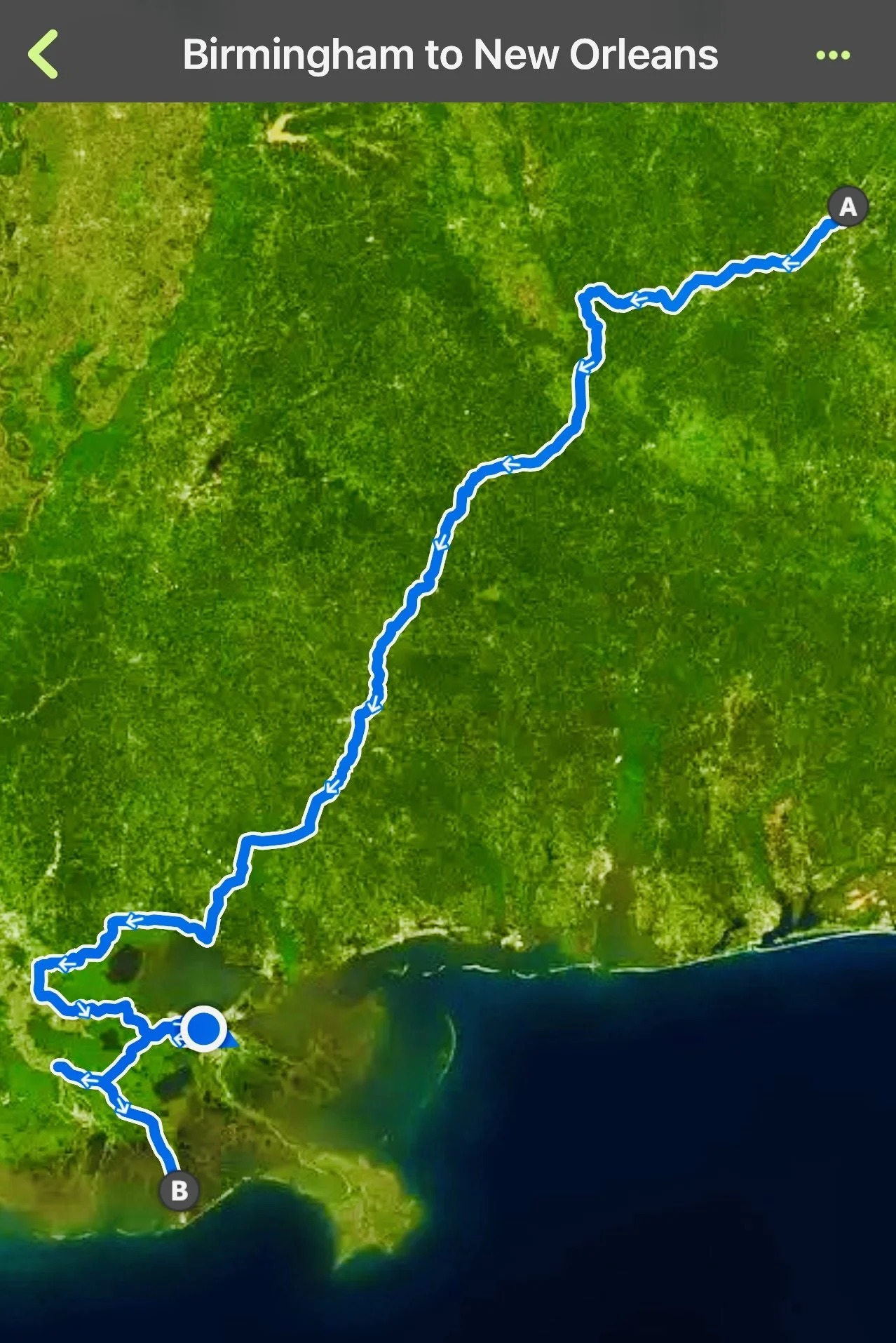
Traveling almost 1000 miles on bicycles, this is the shape of our trip. “A” is Birmingham, where we started, and “B” is Golden Meadow, deep in the coastal marsh of Louisiana below New Orleans, which is as far south as we were able to go because of damage from Hurricane Ida. The blue dot is where we were when we made this map. Map created on Kamoot.
I've been aware for some time that environmental justice groups are very wary of plans by fossil fuel companies to decarbonize their product as a way to keep selling it. There are many significant players in this arena, and many of them are pressuring the EPA to decline permits for a proliferation of CCS applications. One example is from California's Central Valley Air Quality Coalition. Another is in New Orleans, at the Deep South Center for Environmental Justice. The DSCEJ has been pushing local and federal leaders to consider the potential consequences of CCUS on Black communities around the Gulf Coast who have dealt with the consequences of the oil and gas industry’s careless pollution on their health and livelihood for decades. It was their advocacy that prompted The New Orleans City Council to unanimously pass Resolution NO. R-22-219. This resolution urges the prohibition of underground storage of carbon dioxide and facilities for this purpose. Passed in May of 2022, Dr. Beverly Wright, Executive Director of the Deep South Center for Environmental Justice, commented: “I am proud of New Orleans for being a trailblazer in policies that protect local communities from CCS technologies. As I said when Energy Secretary Jennifer Granholm visited recently, supporting CCS will encourage the growth of fossil fuel industries and continue the injustice of putting profits over communities of color. Instead, we need to develop and implement an energy plan for Louisiana that cleans our air and powers our homes and vehicles while prioritizing equitable investments in communities and invests in people to get the necessary training for clean energy jobs of the future. We encourage other local municipalities around the country to follow New Orleans’ lead to prohibit CCS technology”.
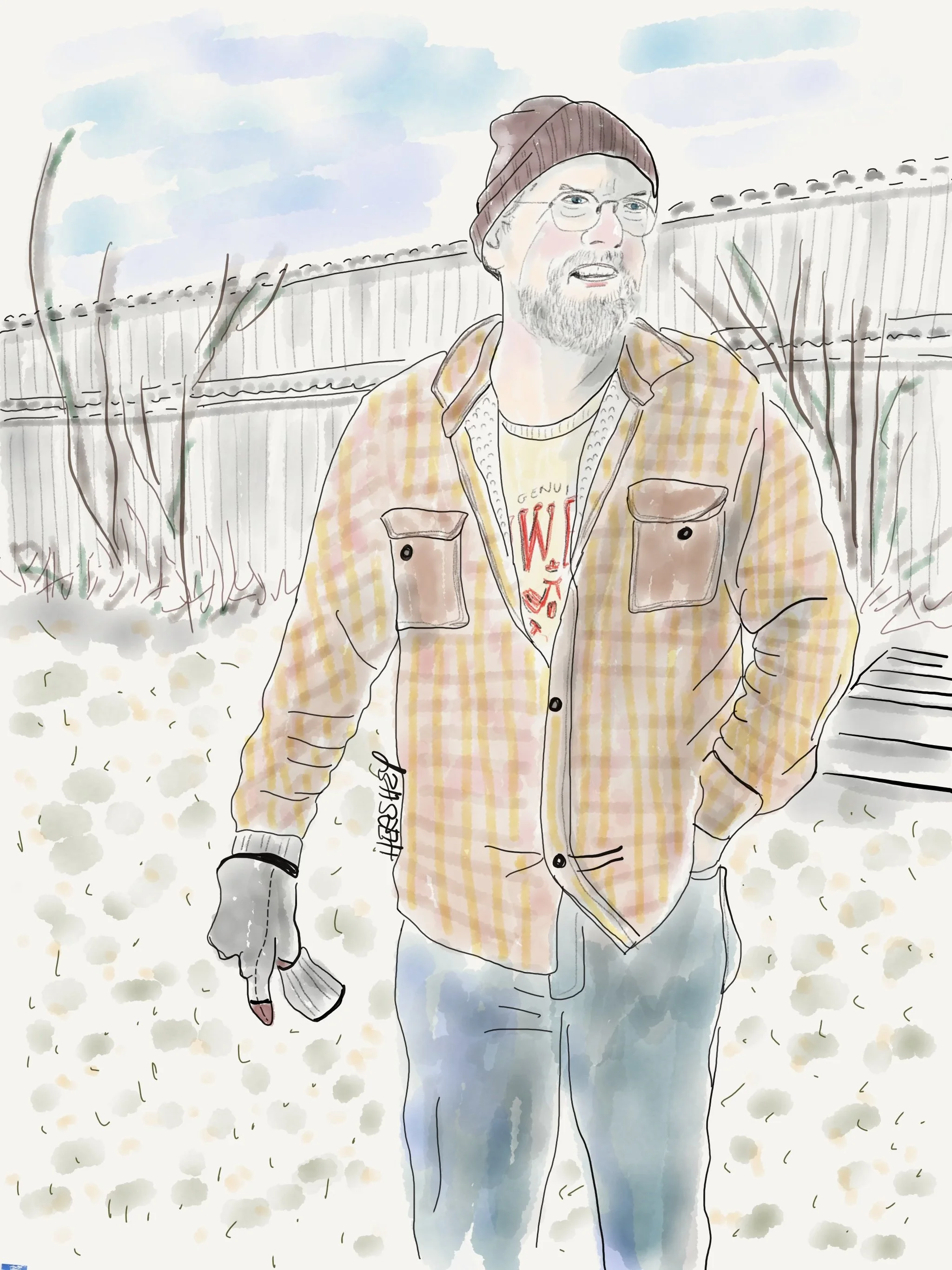
We met Gary, a retired school bus driver, on Head of Island near a canal on the Amite River that flows into Lake Maurepas. Born and raised in the Maurepas swamp area, Gary recounted some vivid tales from his father about encountering strange sinkholes while fishing in the waterways. Now, Gary is concerned about the seismic testing on the lake in preparation for Air Product’s carbon storage project. He is concerned for his 12 grandkids and potential hazards to the water supply and surrounding wildlife. Gary told us a story he heard from a few friends who are tracking the seismic testing contracted by Air Products. When his friends approached a boat in the lake they believed was involved in testing they were greeted by a security guard carrying a rifle who made it clear they should leave. Drawing by Jenny Hershey. Follow her work on Instagram @deeofo.
In October of 2022, the Livingston Parish Council voted unanimously to place a year-long moratorium on the construction of carbon dioxide injection wells below Lake Maurepas. Although Livingston Parish was the only council that passed an attempt at a legal moratorium, their concerns are supported by many locals living in Tangipahoa Parish to the east and Ascension Parish to the southwest.
Interestingly, two of those Parishes would not be considered typical “Environmental Justice” (EJ) communities. They contrast with Donaldsonville, which is 85% people of color (and fits the classic definition of a frontline community) and Burnside, which is about 65% people of color (and the location of Air Products’ blue hydrogen facility). Both of those towns are in Ascension Parish. By contrast Livingston Parish is 95% white, while Tangipahoa Parish is about 65% white. Since neither of those parishes have been frontline communities before, an historical tolerance toward the oil and gas industries might be confusing the issues. As a case in point, I noticed the following comment in The Lens by a Council Member from one of the involved Parishes, “I’m not against the oil and gas industry, and I want to reduce carbon dioxide in the atmosphere as much as anybody else. But this is not correcting the problem. This is creating one more problem.”
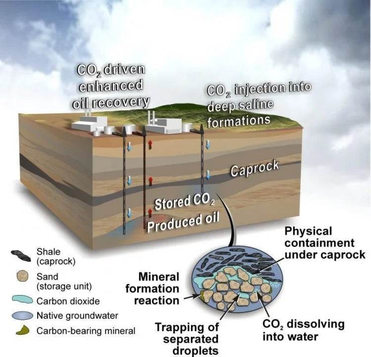
Section 45Q of the Unites States Internal Revenue Code is intended to incentivize deployment of carbon capture, utilization and storage (CCUS). The credit amount also significantly increases for direct air capture (DAC) projects to $180 a ton of CO2 permanently stored and $130 a ton for used CO2. The information above can be referenced here.
I sympathize completely with the Parish residents for their concern about their local environment, and believe all three parishes are being unfairly steamrolled by a large company, and state and federal level politicians. I very much hope the residents will prevail. I also think it's time to end the “not in my backyard mentality” (NIMBYism) that has been an unconscious feature of white middle-class communities for so long. We all need to share the burdens wrought by our way of life, or we need to change our way of life. Fair is fair. In other words, If you don't want something in your backyard, then it’s not ok to put it in someone else’s. And conversely, if you stand by when it happens to your neighbors then don’t be surprised when it happens to you. Instead, focus on stopping the root causes of the problem.
Traveling on a bicycle increases the odds of serendipity. Through a chance encounter in a health food store in Pontchatoula, Louisiana, Jenny and I were able to speak by phone with two members of the Tangipahoa Council, Brigette Hyde and Kim Coates, both of whom represent many local parish constituents who are quite upset by Air Products’ proposal. We learned the permitting process for the carbon storage injection wells - which normally takes years - was pushed through in only four months with no public transparency or local input. Needless to say, locals are fearful about how carbon storage will affect Lake Maurepas’ plethora of wildlife, its recreational boating industry and the health of the local population.
Currently, there is nothing the Parish Councils can do to slow down this project. The lake body itself is owned by the state, which has preemption rights over the Parishes, and a federal judge recently ruled that Livingston Parish cannot enforce its moratorium. Air Products argued it would lose more than $75,000 spent on seismic tests and well preparations to satisfy EPA regulations should the moratorium stay in place because the state permits they’ve been granted will expire. So Air Products, predictably, prevailed in court, also arguing the entire process is perfectly safe and will help them meet federal GHG emissions goals. “We are pleased with the ruling, and we remain committed to continuing to share information with all local parish councils, elected and regulatory officials and local residents about Air Products’ clean energy project and its environmental and economic benefits, and employment opportunities,” said Art George, Air Products’ communications director.
Federal and state officials and industry experts alike have welcomed carbon capture and storage projects as a means to meet net-zero carbon emissions goals. In fact, when Congress passed the Inflation Reduction Act in August, it increased the value of the Q45 carbon capture tax credit to $85 a ton. Because of that adjustment, Air Products stands to receive as much as $425 million in annual tax credits for storing carbon dioxide under Lake Maurepas.
Small wonder they are moving full speed ahead.
Money talks. Goliath walks.
Stay vigilant! Thanks for reading. More to come. If you haven’t done so already, please subscribe to this blog, so you can follow our next biking trip.
All material, unless credited or otherwise noted, are copyrighted property of the blog post authors.
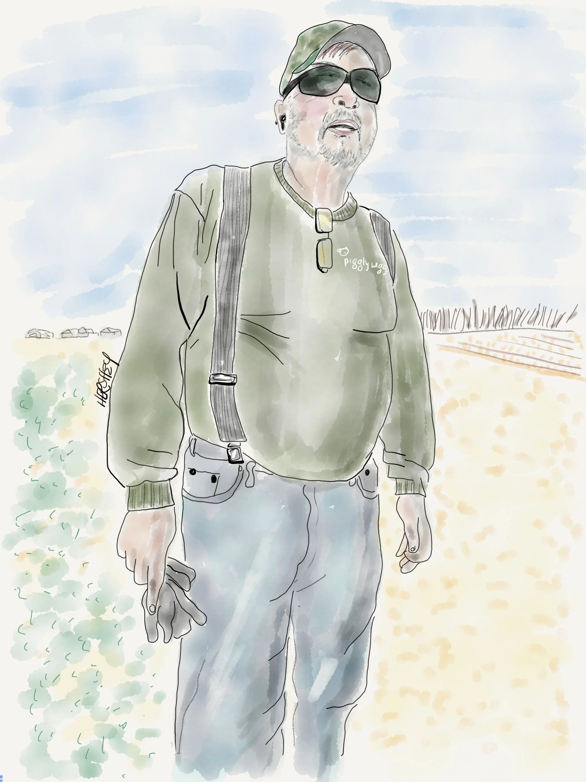
Jenny asked me to post this drawing here as a postscript out of gratitude.
Keith is a retired automation manager from the Union Carbide plant. Route 20 became too treacherous for biking in Vacherie, Louisiana and we were forced to ride on dirt paths through sugar cane fields until we could get no farther. In the distance we saw Keith working on his small John Deere tractor, clearing debris off the road by his house that abuts the sugar cane field. We biked over to told Keith and explained our predicament. He confirmed that there was only one way to the next town, which was down the dangerous Route 20. Thankfully, Keith then offered to use his truck to drive our bikes and gear into Thibodeaux 14 miles down the road. Both he and wife Debbie were very kind and hospitable. Keith dropped us off at a motel we had a reservation for, and they went off to their favorite fish spot for “date night.”
Drawing by Jenny Hershey. Follow her work on Instagram @deeofo.
Hope and Despair; Biking the Western Upper Peninsula
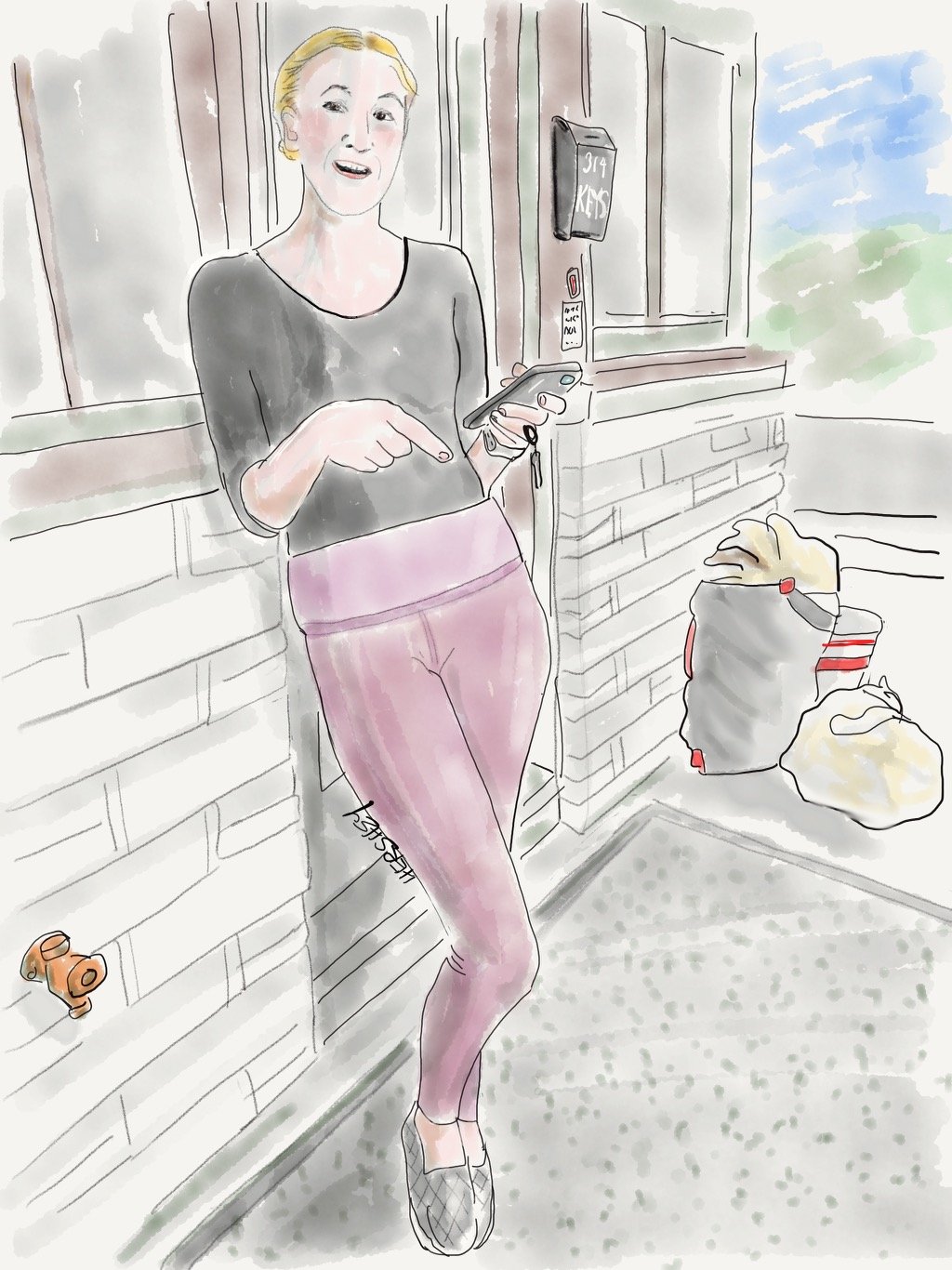
Carly, her boyfriend Paxton and his sister Ali all moved from Minneapolis to Ontonagon, Michigan, in the Upper Peninsula in August of 2021, and bought a small motel. Renaming it after their black lab Griswold, Griswold’s Lodge is their hope and promise for the future. They believe in this area’s potential for growth. Drawing by Jenny Hershey. Follow her on Instagram @deeofo.
When you’re at the end of your rope, tie a knot and hold on. - Theodore Roosevelt
It’s been a rough news cycle. The names of two American towns say it all: Buffalo, New York and Uvalde, Texas.
———————
Thank you for taking the time to read the latest blog post from carbonstories.org. I apologize for the long hiatus between posts. In March, a bike trip to the Ozarks (which would have resulted in a posting) was upended by a family emergency that required consistent attention for several months. Yet, happily over the same period, my daughter Saren had a second child. ….Welcome to this very troubled and extraordinarily beautiful world, Kaia Spire!
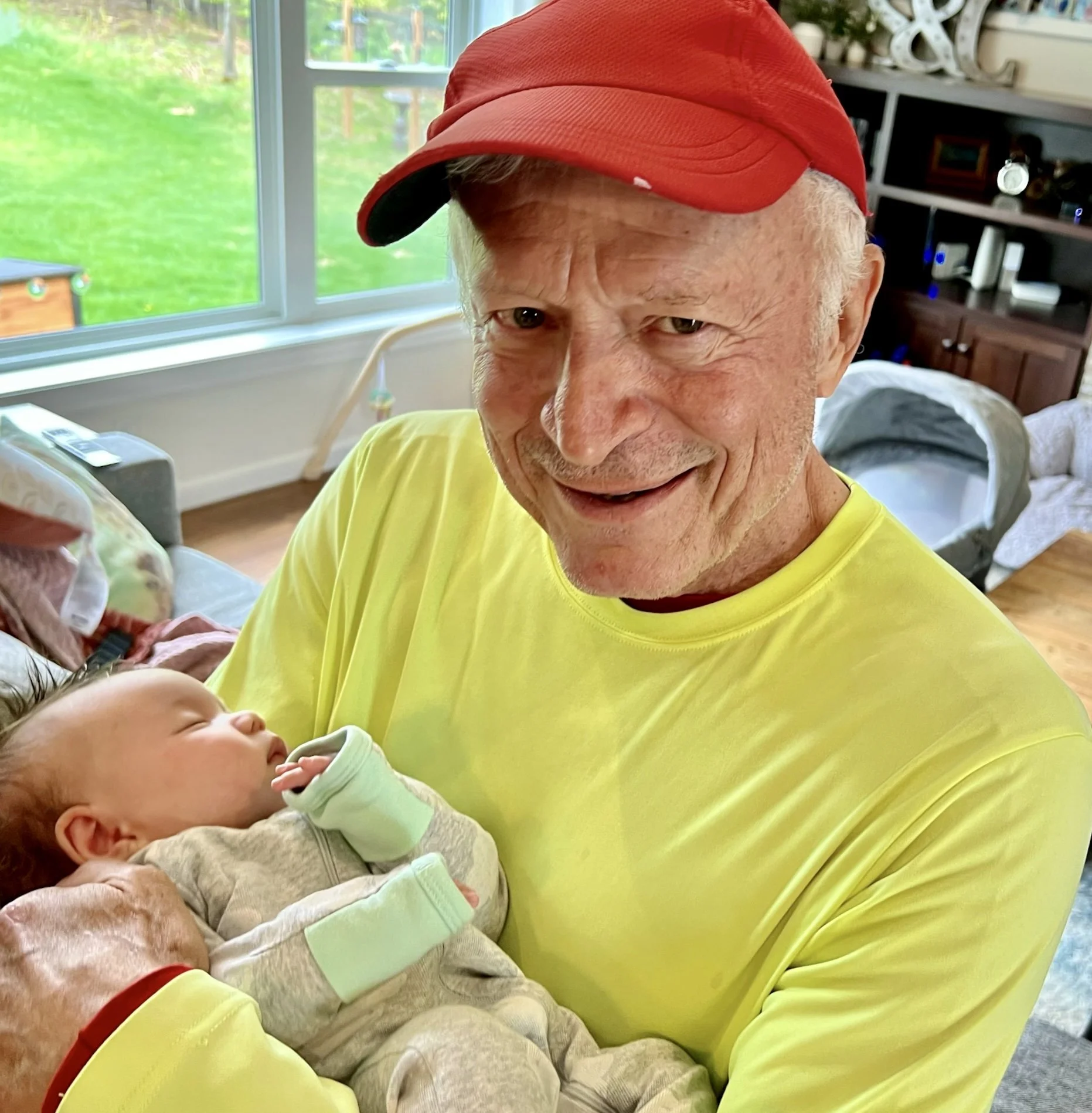
A proud grandfather holding Kaia Spire, born April 5, 2022.
After meeting my new grandchild over a week ago, my intrepid cycling partner Jenny Hershey and I left my daughter’s place in Wausau, Wisconsin, and headed north on our bicycles to explore the western Upper Peninsula of Michigan and the Lake Superior shore of Wisconsin. So far we’ve biked about 500 miles from Wausau, Wisconsin into the Lake Superior shore in the state of Michigan, up the Keweenaw Peninsula to Copper Harbor, and back to Ontonagon, Michigan just east of the Porcupine Mountains Wilderness State Forest. Next we will head to Ironwood, Michigan and then to Ashland, Wisconsin and the Apostle Island area. If we are lucky, we’ll make it to Duluth, Minnesota, before heading back to Wausau and Milwaukee to visit family before our return to New York City. The copper ridges, mountains, wet valleys and innumerable lakes of this country - mixed with cool temperatures and copious rain that keep the insects in check - are making for a bracing and energetic trip (with occasional unplanned layovers as we wait for storms to let up).
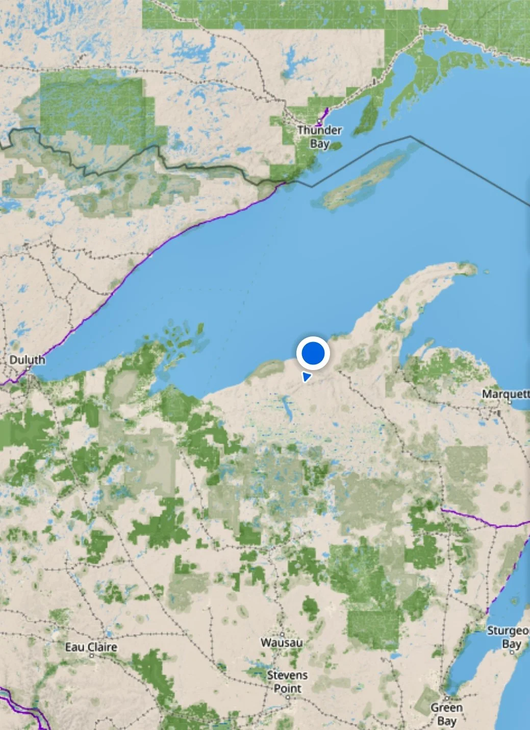
Wausau is to the south on this map. The circle is Ontonagon, Michigan. Near the end of the long peninsula to the northeast lies Copper Harbor, where we were several days prior. From Copper Harbor or Houghton, Michigan, one can take a ferry to Isle National Royale, a US National Park wilderness area. We wanted to go, but were unable to make the ferry schedule work out…. Another time! Map by Guru Maps Pro.
I’m a lucky man, and I try not to take my good fortune for granted. I have loving and wonderful friends and family. I am healthy enough to do most everything I aspire to. I get enough to eat, and I usually sleep where it is dry and warm. When I experience physical discomfort, I know it won’t last and I will be comfortable again soon. I have lived a life of privilege; among other forms of good fortune, my gender, race and education have always worked in my favor. I suppose you can call me “woke.” Well, so be it, especially when the alternative is to be not-woke, which really means “asleep.” A lot of sleeping folk are in Houston right now, railing against the possibility of meaningful gun legislation. They are “asleep at the wheel,” as far as I’m concerned… on gun control, on climate, on constitutional protection from religious persecution on a woman’s right to choose. They are loud, but common sense will always be louder, even if it arrives too late to mitigate some of our pain.
I had polio as a child (and am so grateful for the polio vaccine). I’ve had several major illnesses and surgeries as an adult, and I am managing post-polio syndrome as I enter my “golden” years. I’ve lost people I loved a great deal. I’ve had other setbacks. But on the whole, life has been very good to me. I worked hard at several careers and was rewarded for it; now in retirement, I bike the world and live a life of adventure. Given how challenging life has been over millennia for most humans, I regard my good fortune as remarkable.
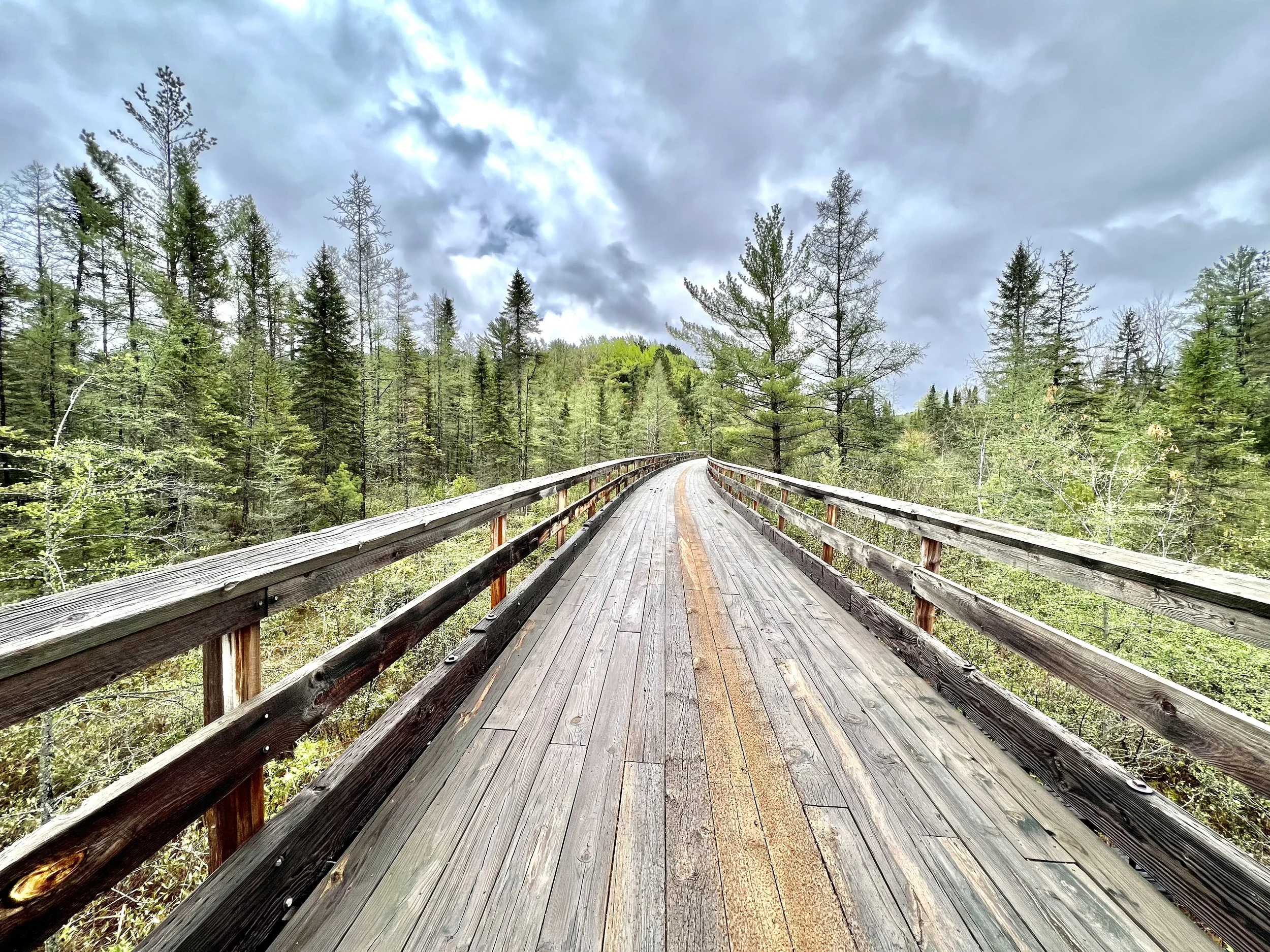
Heading north on the Bear Skin State Trail south of Minocqua, Wisconsin. Photo by Jenny Hershey. Follow her on Instagram @deeofo.
Yet, the future of humankind weighs heavily on my imagination. I worry for my grandchildren. I worry for the human species. I grieve for the many people experiencing life-altering and deadly extreme weather events now, for those trapped in extreme poverty, random inexplicable violence in so-called “safe communities,” and those unfortunate enough to be living under wartime conditions. I grieve the rapidly accelerating loss of so many animal, plant and insect species all over the globe. At times, witnessing the extinction of the earth’s magnificent biodiversity makes me overwhelmingly sad.
The emergency report published in February by the International Panel on Climate Change (IPCC) - the largest peer reviewed body of climate scientists in the world - was grim, concluding with this paragraph: “The cumulative scientific evidence is unequivocal: Climate change is a threat to human well-being and planetary health. Any further delay in concerted anticipatory global action on adaptation and mitigation will miss a brief and rapidly closing window of opportunity to secure a livable and sustainable future for all.”
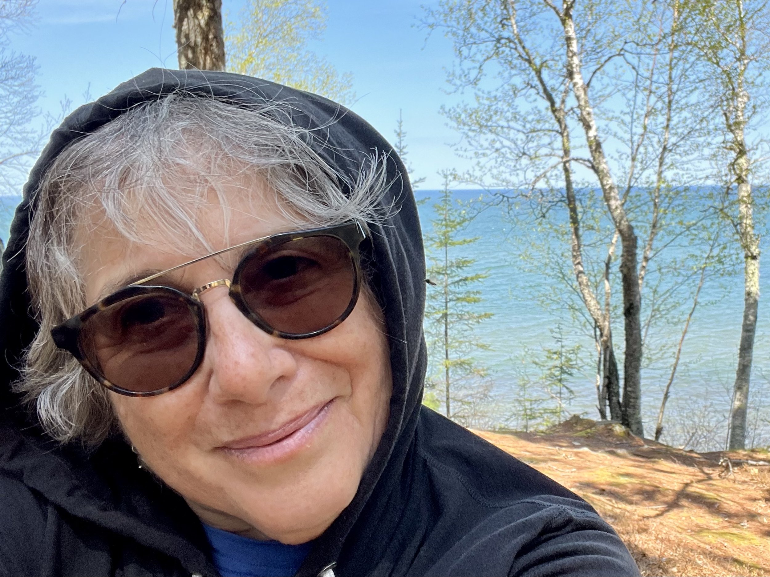
Jenny Hershey takes a break on Five Mile Point Road in the Porcupine Mountains Wilderness. Lake Superior is behind her… Photo by Michael Chase. Follow him on Instagram @mjohnsonchase.
This report coincided with the sidelining of the most aggressive climate legislation ever attempted by the US Congress, and then was quickly eclipsed by an immediate humanitarian catastrophe - the Russian invasion of Ukraine. Geopolitical concerns are now displacing climate change among world leaders as the most critical issue on the global stage. Some decades ago we might have had enough time to solve one global crisis and then move on to another - but now we are facing twin crises of equal magnitude that must be solved simultaneously. Which world governments will remain democratic and which ones will embrace or collapse into authoritarianism? And can governments work collectively to reduce emissions rapidly at the same time they are struggling to preserve their geopolitical identities?
We don’t yet know how such dilemmas will resolve themselves. But I, for one, wouldn’t place my bet on things remaining the same. I think our reasonably immediate futures are going to look vastly different from our reasonably immediate pasts. Change is speeding up. In fact, I think those who try to keep things the same are fighting the wrong battle. My biggest objection to “conservatism” the world over is that “stopping or slowing down change” at a time when change is increasing exponentially in speed and scope - whether we like it or not - is essentially useless. There is little point in being nostalgic for a past that no longer exists (and didn’t work for large numbers of people anyway). The best we can do is “direct change” so that we survive, first and foremost, and hopefully do so in a way that is somewhat to our collective liking. We might be able to survive with some dignity in a harsher and less predictable climate while we create an equitable and sustainable way of life and help others less fortunate than ourselves. But we can no longer sustain massive climate destroying autocracies and pseudo-democracies that coddle carbon intensive behaviors by wealthy individuals, encourage racial inequality, accept massive poverty and wantonly destroy our earth for personal gain. Those days are over. Either we adapt or we perish.
And what might adapting look like? In my last blog post, as Jenny and I rode through the southwestern desert just before the massive spring fires of 2022 set in, I wrote about the formal movement of Deep Adaptation. Deep Adaptation argues for a deeper accounting of adaptive processes. This perspective assumes that extreme weather events and other related climate stressors will increasingly disrupt power, food, water, shelter, and social and governmental systems, and that society and local regional governments need to prepare for such occurrences.
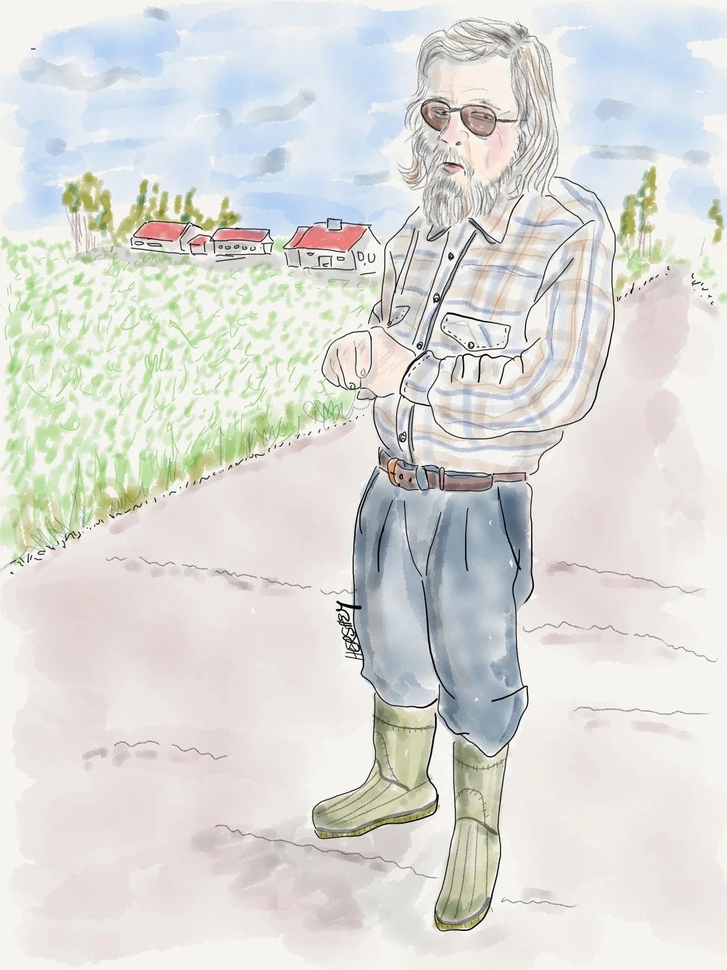
Dick is a wood grader who has lived his entire life in Marenisco, Michigan (population 250). He cheerfully explained the difference between White Pines and Spruces and detailed how Jack Pines form their weird cones. When we asked if he knew of any COVID cases in his town, he thought a minute, and then replied, “Yea, a couple people croaked from it.” Drawing by Jenny Hershey. Follow her on Instagram @deeofo.
However, we’ve come across another form of thoughtful climate adaptation while biking in the upper Midwest. Among the leaders in developing scientific and analytical tools for anticipating human migration in the United States is the American Society of Adaptation Professionals, a ten-year-old group of resilience scholars and practitioners based in Ypsilanti. ASAP, as it’s known, is collaborating with Ann Arbor, the National League of Cities, Florida State University, and the state of New York to develop the first scientific models for anticipating economic and population shifts under changing climate conditions. Their work focuses on migration in the Great Lakes region.
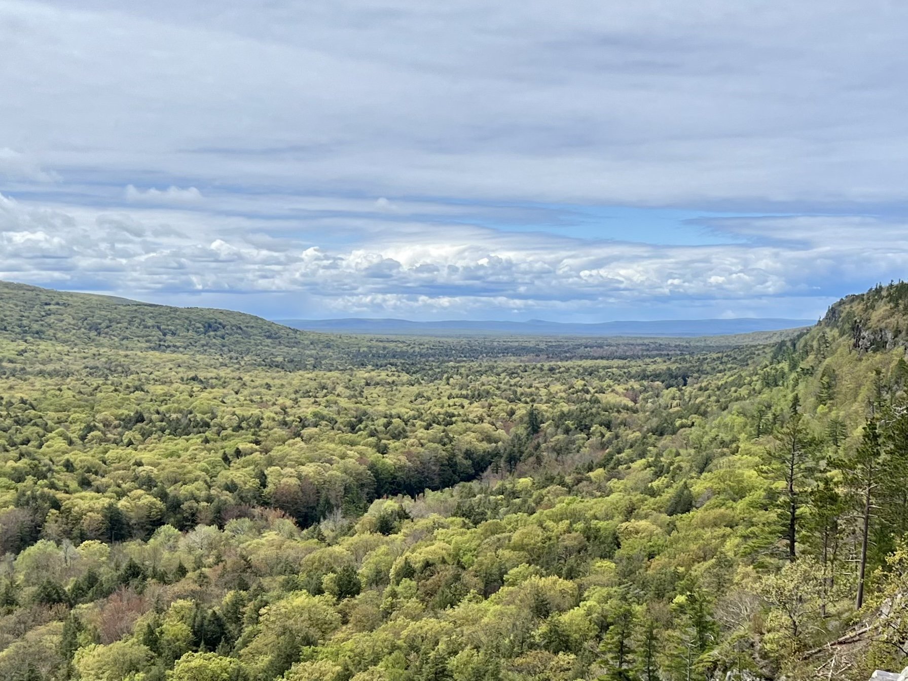
Near the summit at Porcupine Mountains Wilderness State Park. Photo by Michael Chase. Follow his work on Instagram @mjohnsonchase.
It isn’t hard to find opinions on the internet about which American cities might be the best (and the worst) places to live as climate change advances. For example, the insurance broker website Policygenius published a study in 2020 listing the top 10 best and worst places to live over the coming decades. Interestingly enough, the top two best cities on this list are San Francisco and Seattle (while the worst are Houston and Miami). However, air quality issues from fires close to both San Francisco and Seattle over the past few years plus the unprecedented heat dome over Seattle in the summer of 2021 challenge the wisdom of these choices. Additionally this research was based on the largest 50 metropolitan areas in the US, which suggest that Policygenious is thinking more about where large numbers of people may suffer or do slightly better, meaning those who are most likely to need insurance products.
ASAP - as a group of adaptation professionals - isn’t focused on how communities will come apart (and which ones to avoid), but rather on where human societies may do better through the lens of social justice and equity as climate change accelerates. Quality of life issues such as availability of jobs and affordable housing are emphasized in the communities studied, as are livability concerns such as good transit, walk-ability and bike-ability. Although this research is still in early stages, ASAP has teamed up with the New York State Energy Research Development Authority (NYSERDA) to anticipate trends of climate migration throughout the Great Lakes region. This approach is notably different from the more common images of climate migration in developing and underdeveloped parts of the world, which typically reference patterns such as those driven by large numbers of Bangladeshi farmers fleeing into nearby countries as their delta disappears, or South Pacific Islanders abandoning islands submerged by sea level rise, or farmers in sub-Saharan Africa moving to cities to escape desertification of their farmland.
In contrast, the migration patterns under study through ASAP imagine the possibility of a reversal of the last half decade of American population expansion into the south and southwest, and consider how Great Lakes regions might be affected by refugees from other states fleeing fires and water shortages and in search of cooler temperatures. This analysis now serves as a prescient preview to questions gaining relevance for human migration: will fierce meteorological turbulence cause Americans to move — away from danger and toward safety? Will people stay or go?
I wager they’ll go. Most Americans have always sought out better places to live. With the exception of Native Americans, it’s in our DNA as a nation of immigrants.
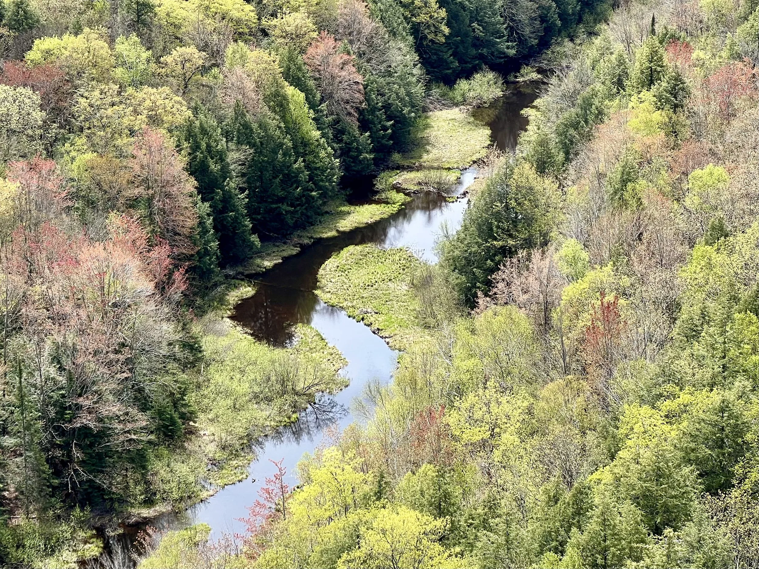
The flowage from “Lake of the Clouds” heads towards Lake Superior at Porcupine Mountains Wilderness State Park. Photo by Michael Chase. Follow his work on Instagram @mjohnsonchase.
And it turn outs the northern midwest, which has been losing population for decades, is a likely destination. As is true everywhere, there are significant contemporary challenges that climate change presents for land and water, communities and governance in the Great Lakes region. Still, the northern midwestern region is now viewed by scientists and social theorists as one of the more ecologically resilient regions in the country, so it makes perfect sense to think about how business, government, and culture can evolve to accommodate the climate-altered seasons. That’s why the American Society of Adaptation Professionals is …convening researchers who anticipate that warming winters, ample reserves of fresh water, and forests not prone to wildfire are ecological benefits that will attract millions of new residents to the Great Lakes and reverse decades of slow population growth.
Here’s an example of a climate professional turned climate migrant (Jamie Beck Alexander, the Director of Drawdown Labs at Project Drawdown,) who choose to leave California with her family for a safer, more sustainable life in Duluth, Minnesota. Our Ontonagon hosts Carly, Paxton and Ali may be leading a similarly smart migration from a larger to a smaller town. Perhaps population density will also factor into quality of life issues as we reshape our communities for climate adaptation, just as COVID reversed a decades-long trend of people moving to cities from rural communities. As residents of New York City, this definitely gives us something to chew on… how about you?
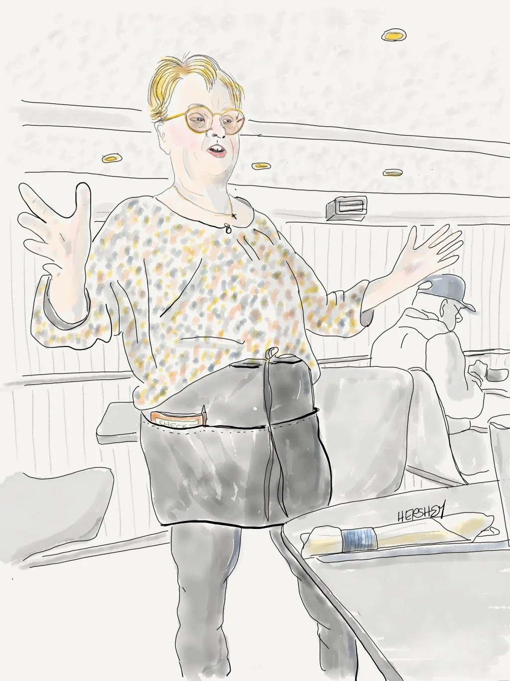
Gaylynn, our server at Syl’s in Ontonagon (population 1400) has spent her entire life in this small town, except for a period of service in the Navy. She is happily upbeat about life in the Upper Peninsula, and a proud citizen of Michigan. An energetic and attentive waitress, it was a pleasure to watch her interact with townspeople she knows very well. Drawing by Jenny Hershey. Follow her on Instagram @deeofo.
Stay vigilant! Thanks for reading. More to come. If you haven’t done so already, please subscribe to this blog, so you can follow our next biking trip later in the summer of 2022.
All material, unless credited or otherwise noted, are copyrighted property of the blog post authors.
A Journey into Land Use; Biking the Carolinas
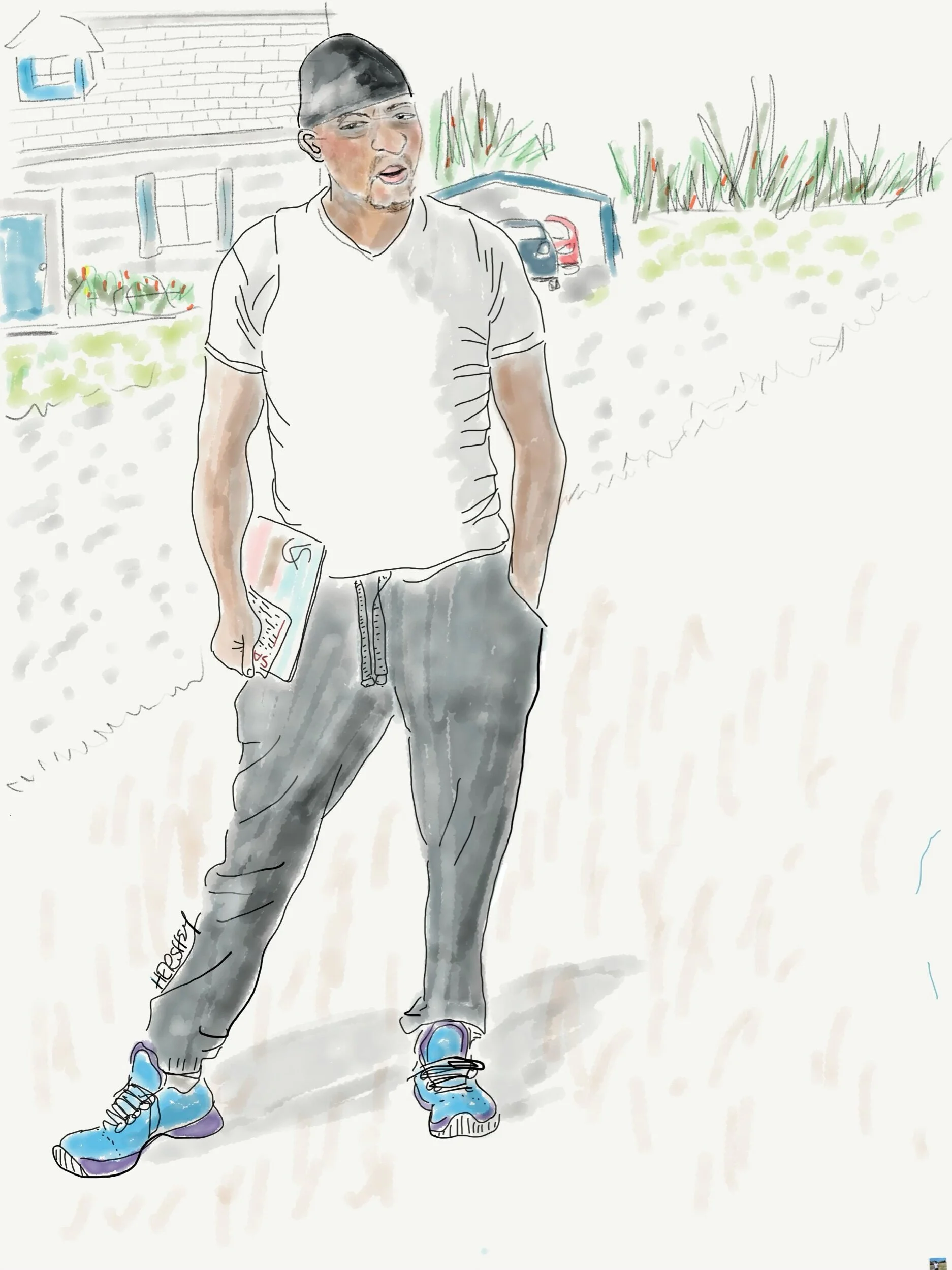
Calvin is from from Bennettsville SC. A forklift operator for Marley Engineered Products, he was given incentives and a bonus to work through the Covid pandemic. He has two kids and somehow managed to never miss a day of work, although his wife was furloughed. We met him on his way to his mailbox. He teasingly joked he was hoping for a stimulus check. …and then he said he’d been watching for it in his checking account…
Drawing by Jennifer Hershey. Follow her work on Instagram at deeofo.
To achieve great things, two things are needed; a plan, and not quite enough time.
Leonard Bernstein
We started our latest cycling trip in Chapel Hill, where Jenny’s son Sam lives with his family. Our plan was simple enough: we would bike to Savannah and back, and then drive back to New York City in time for our second Covid vaccination shot in late March. This was our first tour since the onset of the pandemic without a car, and like many of the “best laid plans of mice and men,” it didn’t go quite as we had expected. Who would have thought that a jumble of discarded wire could work its way into a derailer and rip off a speed sensor? Yet, that’s what happened to Jenny as we turned off a rather bucolic South Carolina road onto the notorious Highway 17. Because of aging infrastructure and an abundance of coastal marshland, this is essentially the only road that connects Savannah and Charleston with the sandhills to the north. To complicate matters, route 17 is recklessly identified as a cycling route on the East Coast Greenway.
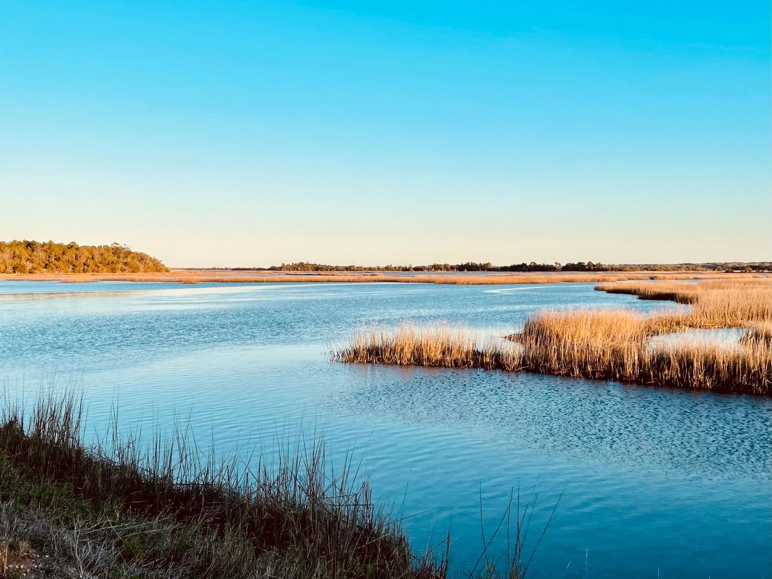
Marshland near Charleston, SC
It is also the most dangerous highway that Jenny and I have ever biked on. Where there is a shoulder (which is rare), this highly trafficked four lane highway offers cyclists lots of fast moving traffic, a customary South Carolina rumble strip, lots of loose gravel and stunningly challenging detritus. We saw the bundle of wire too late to avoid it. I went over it first, and my bike tossed the bundle into the air. Jenny swerved, but alas, it caught her rear wheel on its way down. Her bike seized immediately. Not good, but thankfully she didn’t crash.
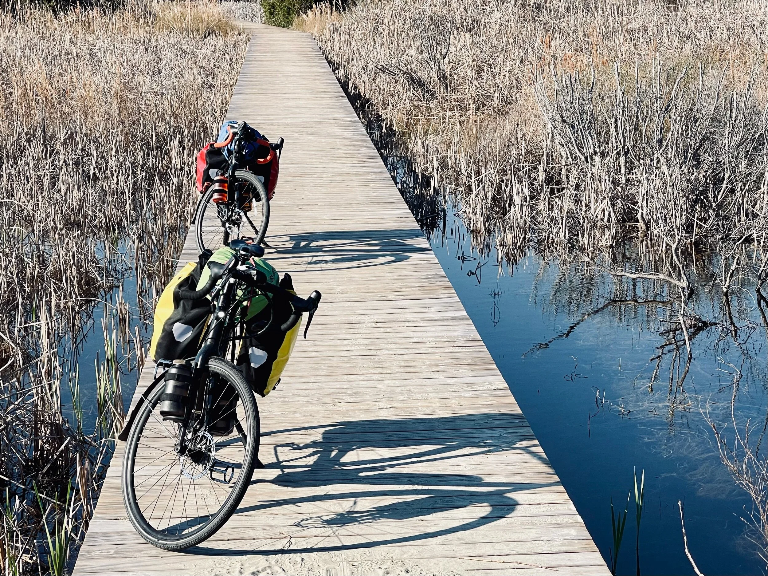
Our “fully loaded” Trek Crossrip e-bikes parked on a boardwalk near the beach on Sullivan Island in Charleston.
We both ride Trek Crossrip pedal assist e-bikes that increase our hourly touring speed by 3-5 miles/hour. This makes riding 70 miles a day on average a bit easier and faster, yet still physically challenging. But these extraordinary machines also have their downsides. After carefully disentangling and cutting out multiple strands of wire wound around the cassette, derailer, rear wheel and frame of Jenny's bike, imagine our disappointment when we discovered the wire had somehow managed to tear off the speed sensor for the small motor in her crankcase. It wasn’t the end of our trip altogether. Although we doubted we’d find a Trek dealer with such a rare part in stock, Jenny was able to nurse her bike along even though the motor would cease to work from time to time when the torque increased. This made for painful uphill cycling. We were about 400 miles from our car. Getting home on the bike would be possible, but it was going to take some fortitude.
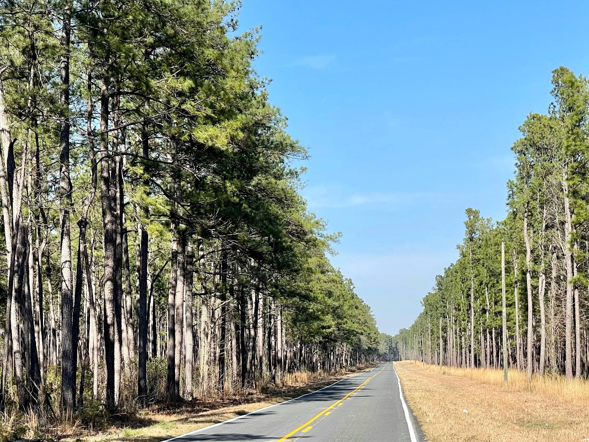
The Francis Marion National Forest on a mellow stretch of road off Route 41 north of Charleston. Formally established in the 1930’s, this forest covers approximately 259,000 acres. In 1989, the forest was nearly destroyed by Hurricane Hugo; only the young growth survived the storm and its aftermath. Today, most trees in the forest do not predate this hurricane.
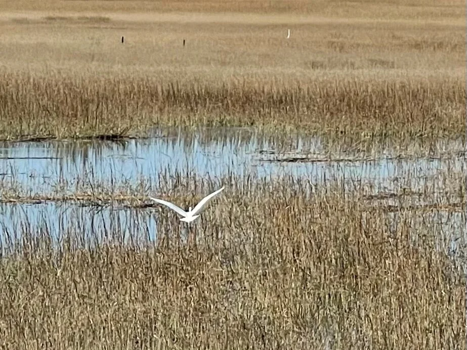
A Great Egret flying over coastal marshland on the Isle of Palm Connector near Mount Pleasant, SC, southwest of the Francis Marion National Forest.
Jenny rose to the occasion, although it took us three days to reroute ourselves through Charleston and Mount Pleasant (where we found a bike shop that, predictably, didn’t have the part we needed). Please be forewarned; if you ever visit Charleston by bike, getting into or out of that extraordinarily charming and historic city is not fun. On the upside, there is talk by state and local officials of making both Savannah and Charleston more accessible to cyclists at some point in the not too distant future through “smart growth” planning.
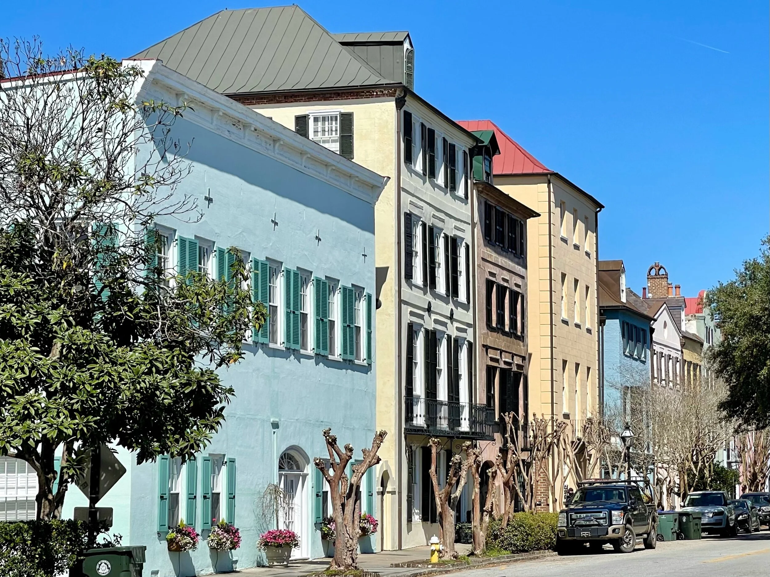
Charleston is a spectacularly attractive town, and it seemed to be gently waking from a Covid induced slumber when we passed through. There were lots of tourists wandering the streets, horse drawn carriages carrying passengers, and numerous guides talking to small groups of masked up people. We ate outside at a well known local fish restaurant, Eli Hyman’s, run by a 4th generation Jewish businessman who told us that just a few blocks away we’d find the oldest continuously used temple in the United States,
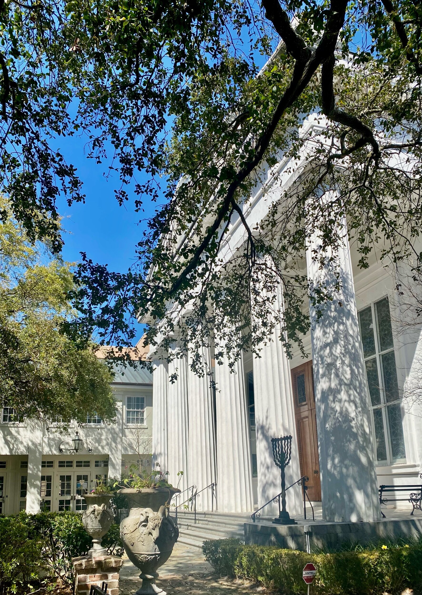
Temple Kahal Kadosh Beth Elohim in Charleston, SC. Founded in 1750, this temple is the cradle of reformed Judaism.
“Dumb growth” planning has irritated me for years. There are many roads in America where poor design fragments communities, destroys land unnecessarily, and makes walking or biking impossible. Humans have walked everywhere for thousands of years, yet in recent decades transportation planners have built many roads that can be navigated only in a functioning motorized vehicle. It's as if planners have acquired dementia about our capacity to ambulate. Where are the sidewalks or shoulders? God forbid that someone’s car should break down, and they would have to walk to the nearest gas station for help. Try ambulating by foot, in a wheelchair, or on a bike to the nearest mall next to a freeway in your community, and you’ll know what I mean. You're likely to be surprised at how terrorizing such a trip can be.
A typical road in South Carolina. While North Carolina has skinny or nonexistent shoulders, South Carolina has a terrible practice of adding rumble strips to their very narrow or nonexistent shoulders (at extra cost to taxpayers)! This might be helpful to the occasional driver, but it also forces cyclists onto very busy roads. I’d wager that for every sleepy or drunk driver whose life is saved, several cyclists are killed. This is so dangerous that the Adventure Cycling Association (ACA) runs an entire advocacy program focused solely on redesigning and/or eradicating rumble strips. You can read about it here.
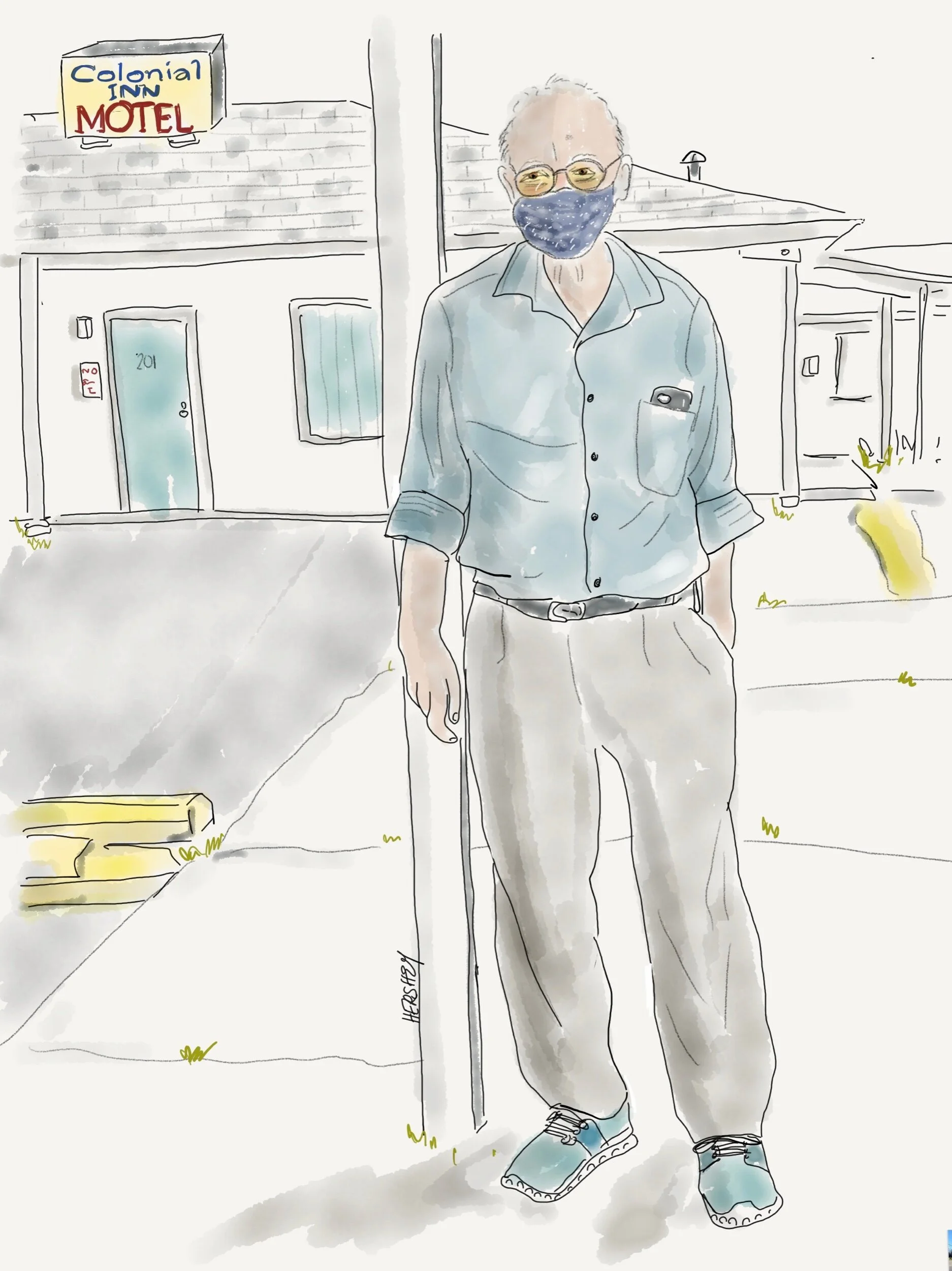
Mr Patel has owned the Colonial Inn in Andrews, SC, since he immigrated from India 41 years ago. He survived Hurricane Hugo in 1989, which devastated his town and blew off his motel sign. Mercifully, his motel was spared but his parking lot was filled with debris, including a few roofs from neighboring homes. Temporary power was restored after 4 days, and the motel prospered as it filled up with utility workers from all over the state. Currently Mr. Patel benefits when the nearby paper mill at Georgetown shuts down annually for maintenance because he houses all the workers.
Drawing by Jennifer Hershey. Follow her work on Instagram at deeofo.
In much of America, where clumps of population are mixed with cropland, pastureland and forests, it can be difficult to grasp the identity of a given “place.” That’s what Jenny and I experienced as we cycled south from Chapel Hill. After we passed a lovely (man made) reservoir on a narrow, shoulder-less, highly trafficked road and some seemingly affluent horse farms, much of the landscape became chaotic - a house here and there, a recently tilled dirt-exposed field, junked cars, abandoned appliances, a decaying shed and house, a few acres of lumpy clear-cut timber with trunks and branches strewn every which-way, a field of sod, a thin stand of trees, a gravel field of unused septic tanks, a half acre of forest, a driveway to nowhere, a parking lot, an abandoned industrial shed, a pile of tires, a Dollar General, enormous stacks of pipelines, a Family Dollar, a quaint house with a yard full of tchotchkes, a few trees, a large field revealing last year’s cotton crop.
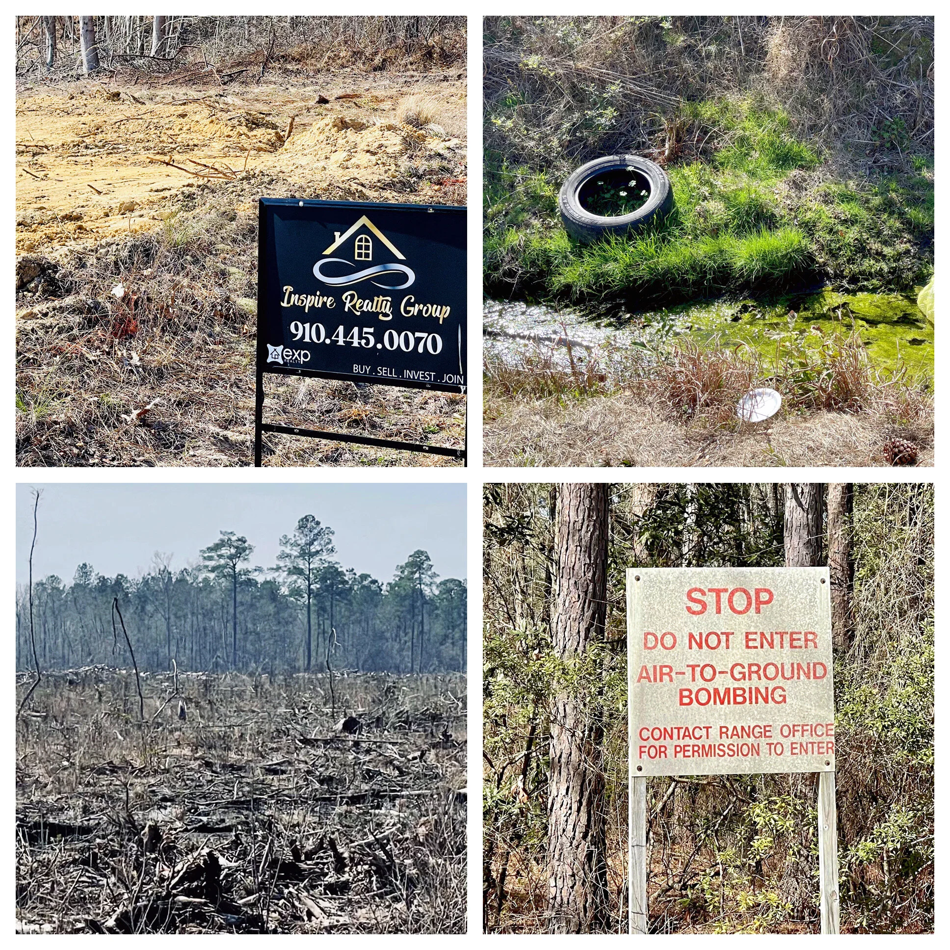
It was dizzying to take it all in, and even harder to know if there was anything at all sustainable about what we were looking at. Most likely not, we thought. And I mused on one of my obsessions - the persistent degradation of our treasured American landscape. It all seemed so ….disorganized. I really couldn’t get my mind around all that I was noticing. It was a crazy landscape, a random piecemeal (de)construction with no regard for itself. It reminded me of a frog in a slowly boiling pot who fails to notice the water is slowly heating up until it’s too late to do anything about it. There was persistent decay all around us, and no one seemed to care. But then, what do I know? As a small-city Midwesterner I can probably identify five to seven agricultural crops, and Jenny as an urbanite, even fewer. I am only now recognizing the difference between timberlands and forest. The sad fact is I know very little about rural landscapes beyond what I have come to appreciate in our magnificent national parks. But protected public land is very different from the vast stores of private land that occupies most of our landscape. And this was private land in a gentle rural landscape that had once been vast forests of Longleaf Pines nestled among swamp, marsh, bayou, streams, rivers and lakes. It is now small patches of forest, timberland, cropland and pasture, random houses and housing tracts, abandoned lots, industrial products, and an abundance of intentional and uninspired human detritus.
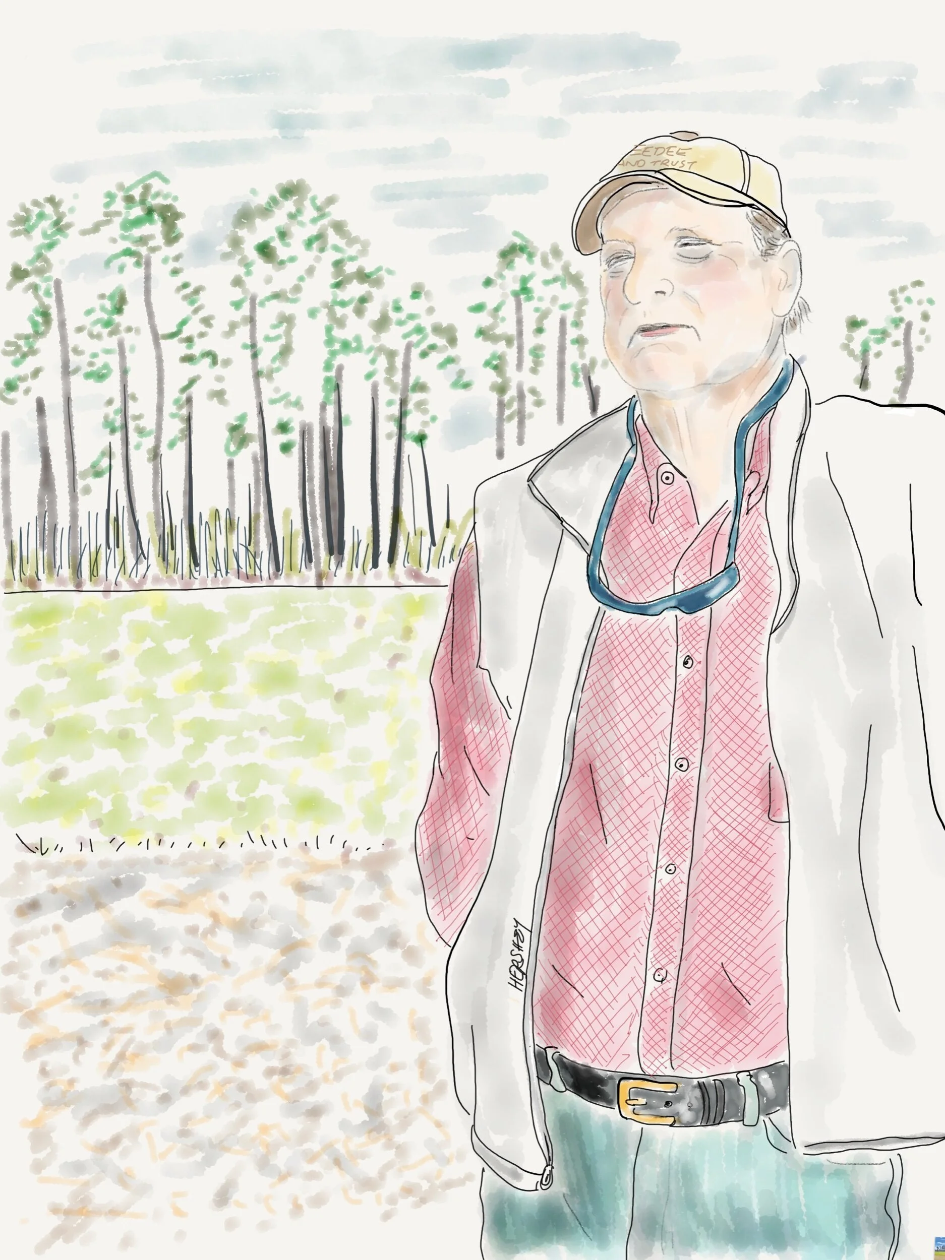
After explaining the value of winter wheat as a harvestable cover crop, the 6th generation farmer Keith Williamson tells us about the Pee Dee Land Trust (PDLT) which has partnered with private landowners throughout the Pee Dee River watershed (second in size on the eastern seaboard to the Delaware River watershed) to permanently protect over 32,000 acres of land. Over 80% of conservation easements held by PDLT are working farms and forests clustered mainly along waterways.
Did you know there are approximately 5 times more farmers over 65 years of age than there are farmers under 35?
Drawing by Jennifer Hershey. Follow her work on Instagram at deeofo.
Talking to Keith made our day. We saw him standing next to his car looking over a field that we had just been wondering about, so we pulled off on the grass (because there was no shoulder on the road) on the opposite side of the road, and yelled in our nasalized New York City and Midwest accents to get his attention. Keith didn’t seem the least bit phased by the bikes, or our car dodging as we crossed the busy road on foot all the while peppering him with questions. He patiently answered us in his gentle South Carolina drawl that we were looking at winter wheat, a cover crop on a field that would be soybeans in a few months. “It’s a complimentary process. The wheat takes up the nitrogen the soy puts down,” he explained. Legumes add nitrous oxide to the soil, which then enters the atmosphere through erosion or when the field is tilled. We learned later that nitrogen is a potent greenhouse gas, so using cover a crop like winter wheat to reduce nitrogen levels has a beneficial impact on climate change, as well as helping soil health. As we talked more, we learned about the Pee Dee Land Trust, which helped Keith and other members of his family to protect 3,000 acres of family land.
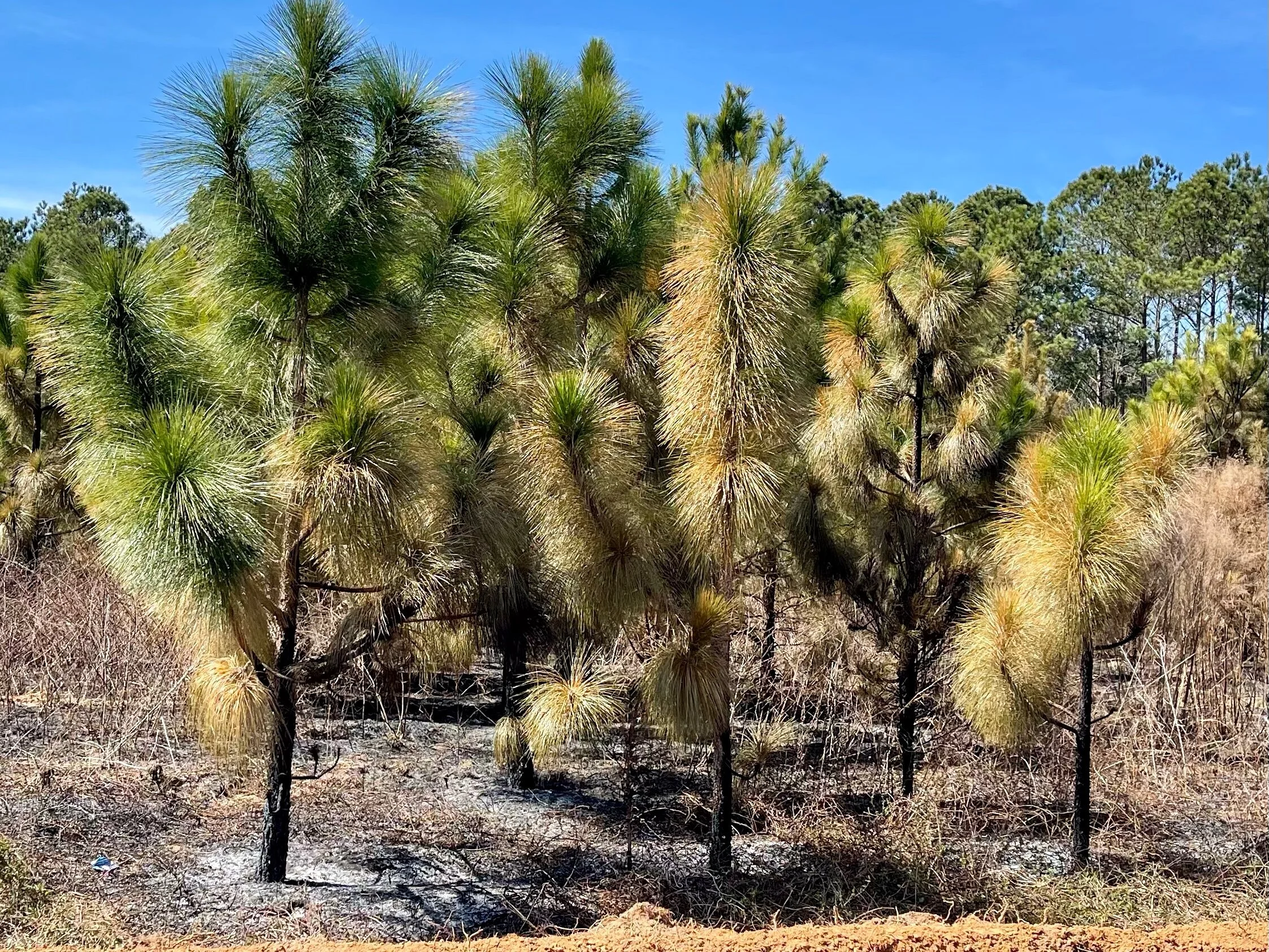
At one time most of the southeast was covered in Longleaf Pine forest. Naturally fire resistant, these superb trees would grow quite tall and create savanna-like conditions underneath, which would be routinely burned off, either by natural causes or intentionally by indigenous people. Now burning is almost always intentional. This relatively young forest was recently burned off.
Land trusts are an important tool for protecting land from development, preserving it for valuable forests, timberland and agricultural uses that encourages smart rural growth, improves water quality and ensures natural carbon storage and sequestration. For example, forests alone in the US store 59 billion metric tons of carbon in trees, roots, soils and forest products, and sequester 14% of the country's CO2 emissions. Agricultural crops are not quite as storage intensive due to their shorter life cycles, but their carbon storage and sequestration properties can be significant.
Land is typically conserved by outright purchase into a trust, or less expensively, by “conservation easement,” a deeded agreement with a Land Trust by the owner to protect a property. Conservation easements are irrevocable and apply to the present and all future owners of the land. As with other real property interests, a conservation easement is recorded in local land records and becomes a part of the chain of title for the property, permanently protecting the land from development.
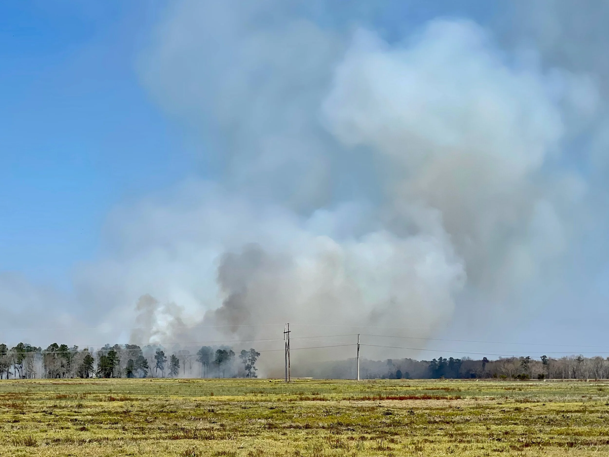
An intentional burn off seen at a distance.
Because approximately 9000 acres a day of farmland and forests in the US are lost to commercial and residential developers, land trust programs provide enormous public benefits. Conservation easements alone already protect an estimated 50 million acres of natural habitat in this country, and each year another 2 million acres are added to that total. Since 1982, the US has lost over 25 million acres of agricultural land to development, while global population and carbon emission levels have almost doubled. I couldn’t find a figure for how much farmland we have left in the US (I’m sure the USDA knows), but I did learn we currently have about 450 million acres of forestland in the US under threat of development, which is about 60% of our remaining forests. According to a study cited by the American Farmland Trust, land that is converted to other uses from its natural habitat (including agricultural land) emits greenhouse gas emissions at rates 50-70 times greater than had it remained undeveloped. Preserving our land is essential if we are going to reach net zero by 2050.
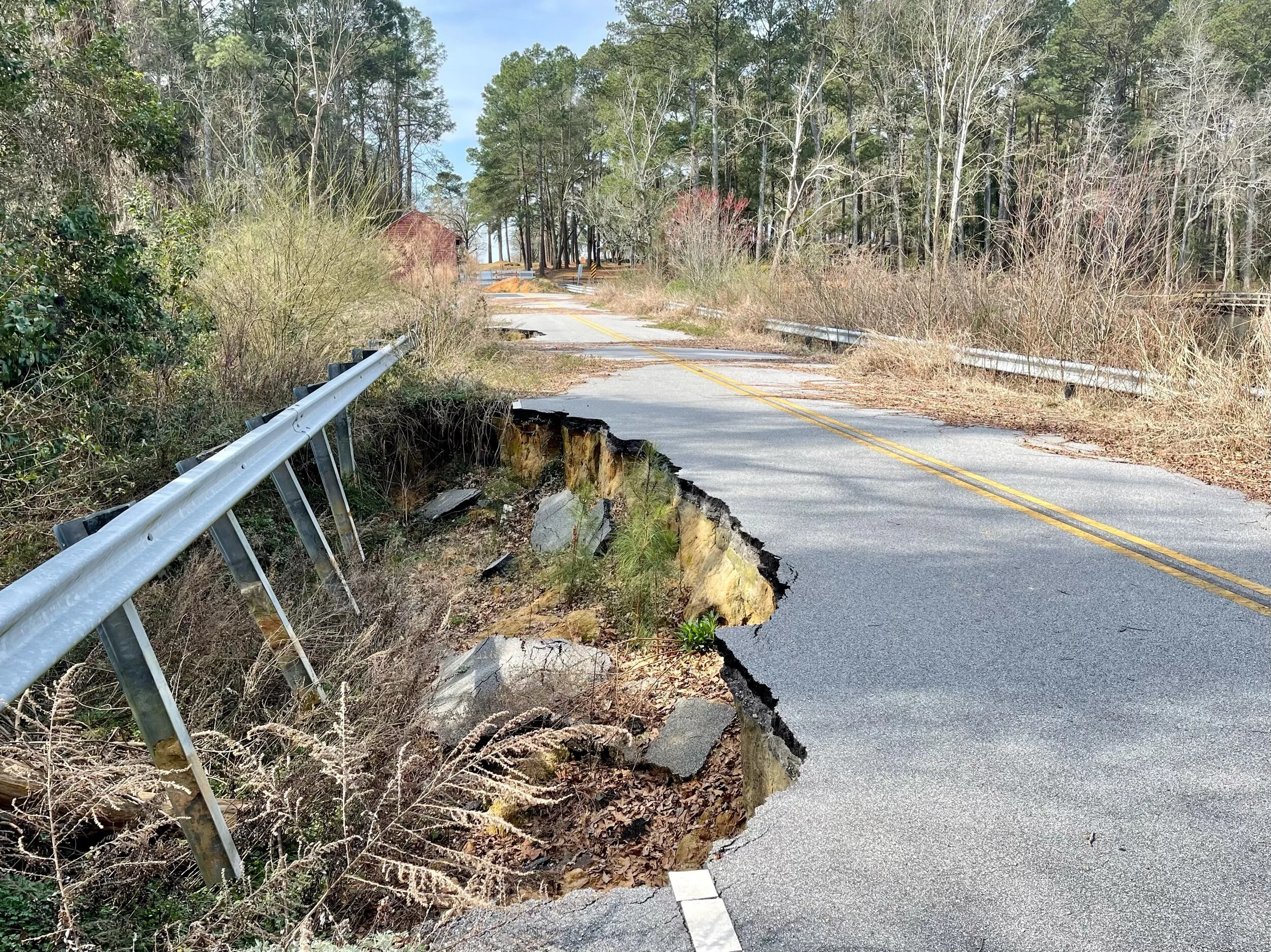
Flood damage on a road near McColl, SC
This protection doesn't come without a price tag, however. Easements are incentivized through tax credits or property tax reductions, so taxpayers effectively pay private citizens not to sell their land to developers at a higher price in order to benefit the greater good. (Frankly, that strikes me as analogous to the failure of capitalism to externalize the social costs of carbon pollution, but that’s a subject for another blog post.)
Yet, the effort is essential. Soil stores two to three times more carbon than the atmosphere and up to four times the amount of carbon stored in the vegetation on land. Since the advent of modern agriculture (till and fertilize; wash, rinse and repeat) soil health has degraded considerably and we have lost much of our topsoil to erosion, including more than half of the organic carbon originally stored in US soils. With nearly 400 million acres of cropland alone, we have an enormous opportunity to use “regenerative” farming methods to rebuild organic carbon in our soil, sequester atmospheric carbon and reduce greenhouse gas emissions. However, soils need healthy plant life on them to be able to accomplish this. How we manage carbon stocks on our land - whether it’s forest, timberland, cropland or pastureland - will have a significant impact on climate change over the coming decades. Climate activists, policy makers, and most importantly farmers, need to understand that how we use our land (and in particular, how we grow our food), are every bit as important to our collective efforts to decarbonize as transforming our energy system.
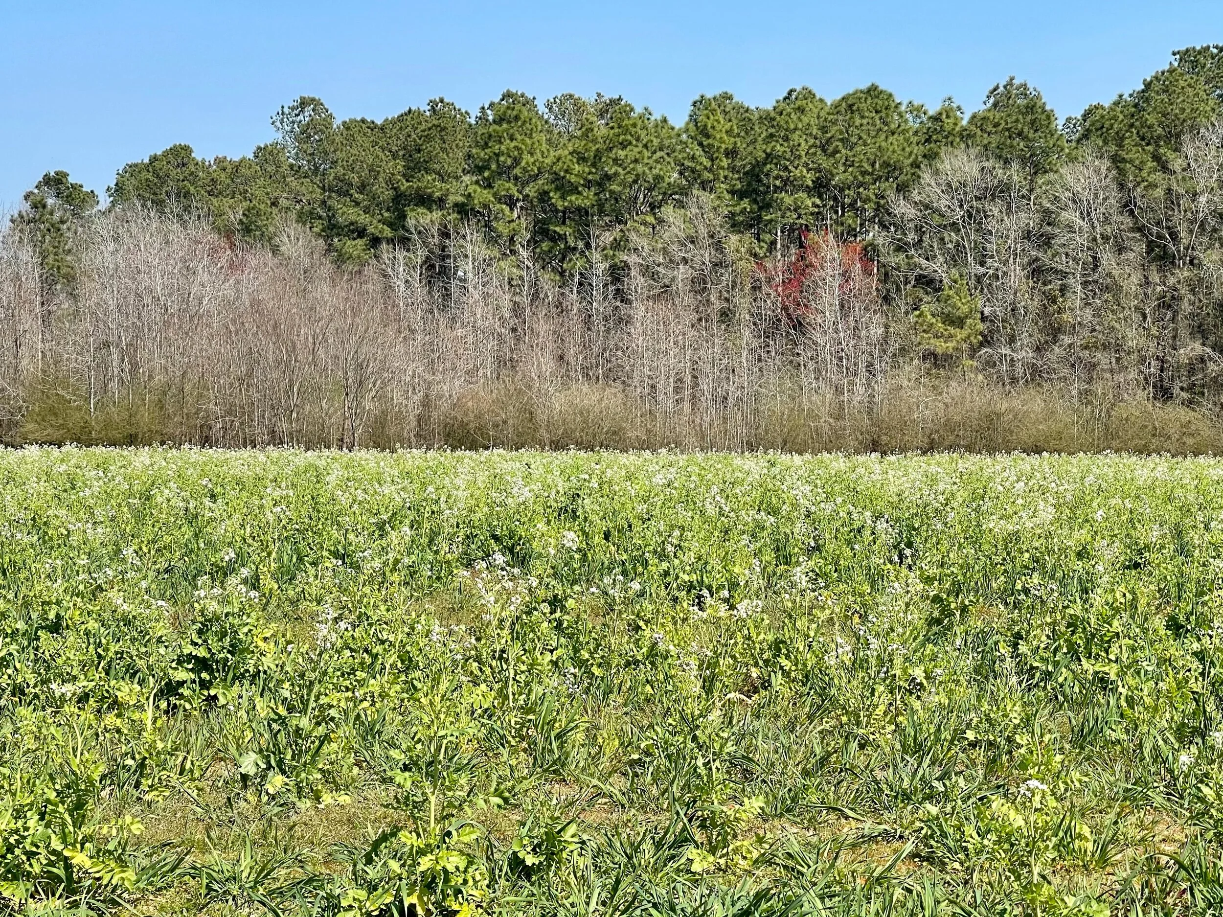
A field of turnip, another popular cover crop in regenerative agriculture.
Rural communities face a host of challenges - including changing demographics, lack of economic growth, community health and preservation, and a strong need for environmental protection. In addition, rural communities need workforce development, access to broadband, and effective transportation in their planning efforts. Smart growth strategies can help communities guide development while protecting working lands and preserving rural character. There are an increasing number of great organizations and online mapping tools for learning more about these topics. I list some of them below, especially those that I used to prepare this blog.
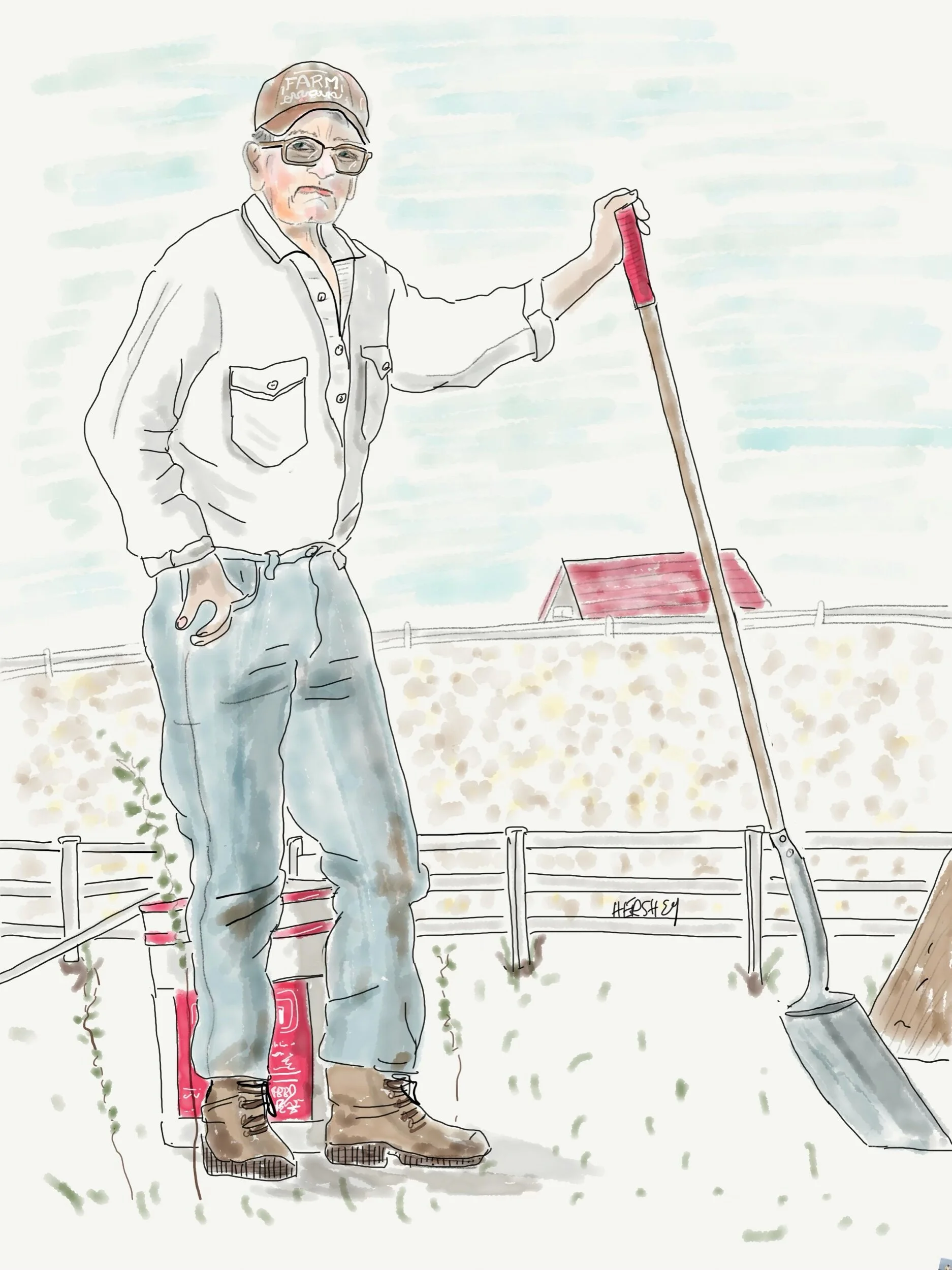
Lucky, a 74 year old ex jockey from Virginia, runs a 16 acre horse boarding farm in North Carolina. He believes everyone can find a job doing something even if they don't like it, and he doesn’t like the Covid stimulus package. He earned his way up “galloping” horses (Secretariat was his most famous) when he was young. He got paid $3.00 a run. He laughed as we biked away, just after we encouraged him to get a Covid vaccine. We gathered he wasn't interested.
Drawing by Jennifer Hershey. Follow her work on Instagram at deeofo.
And finally, the Biden administration’s recently-announced plan to address climate change, which includes provisions to conserve 30 percent of U.S. land and waters by the year 2030, is definitely worth attention.
Stay vigilant! Thanks for reading. More to come. Follow our next biking trip from central Wisconsin into the Dakotas this coming May, 2021.
All photos, unless credited or otherwise noted, are copyrighted property of the blog post author.
Louisiana/Texas, Post 4
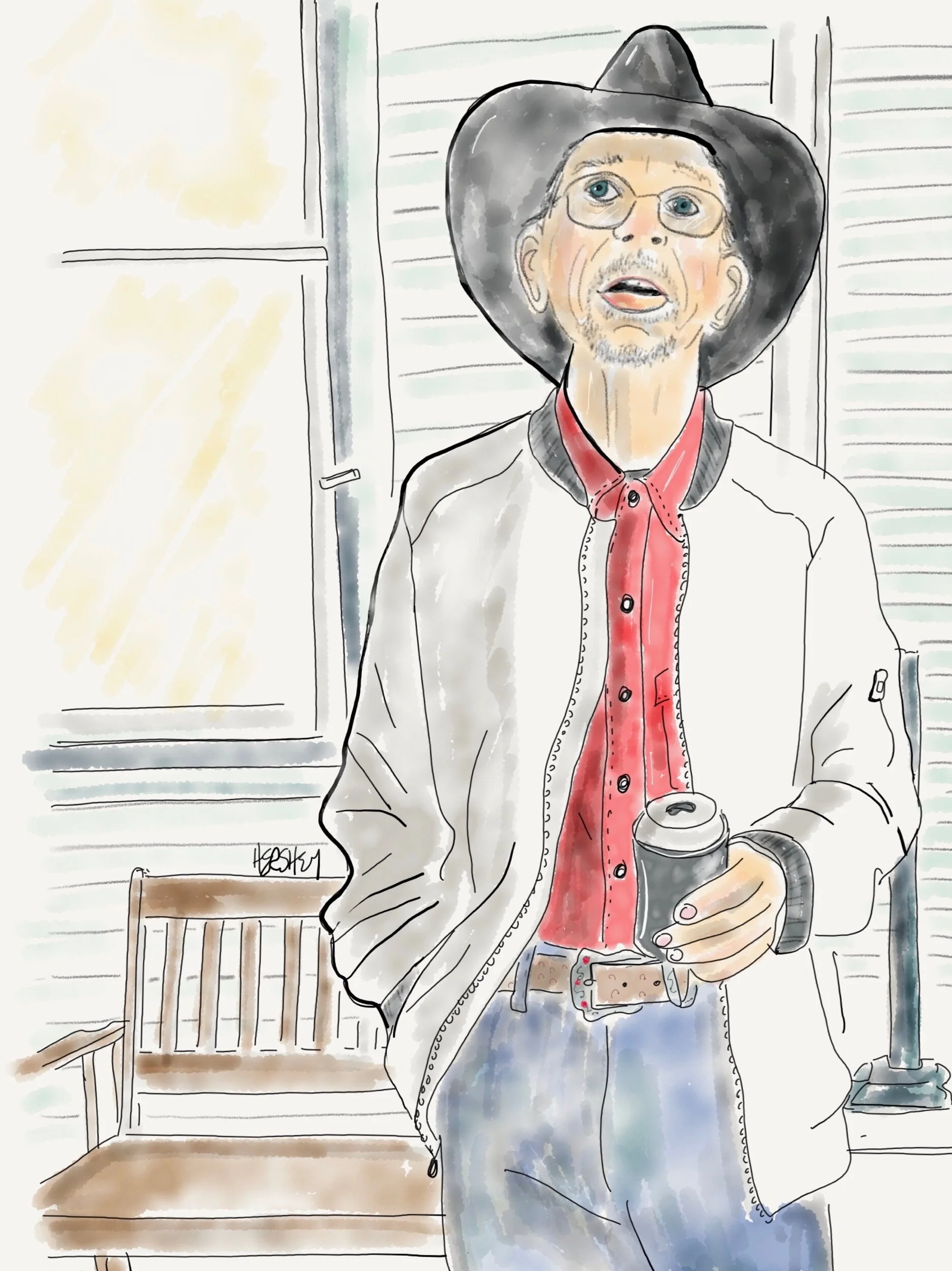
“I work up at United Ag in El Campo. I live at this hotel. Spend Sundays off in Bay City.” Drawing by Jennifer Hershey. Follow her work on Instagram at deeofo.
“Don’t go around saying the world owes you a living. The world owes you nothing. It was here first.” — Mark Twain
Most everywhere we’ve been in Louisiana and Texas, we’ve encountered people who believe deeply in the concept of hard work. I don't know if the importance of work is stronger in the south than elsewhere (it’s hard to imagine a more frenetic work environment than New York City), but its virtue came up repeatedly in our conversations with locals. Often the merits of working seem linked to another highly prized value in these parts - self-reliance - the pathway to the most exalted of American values, our freedom.
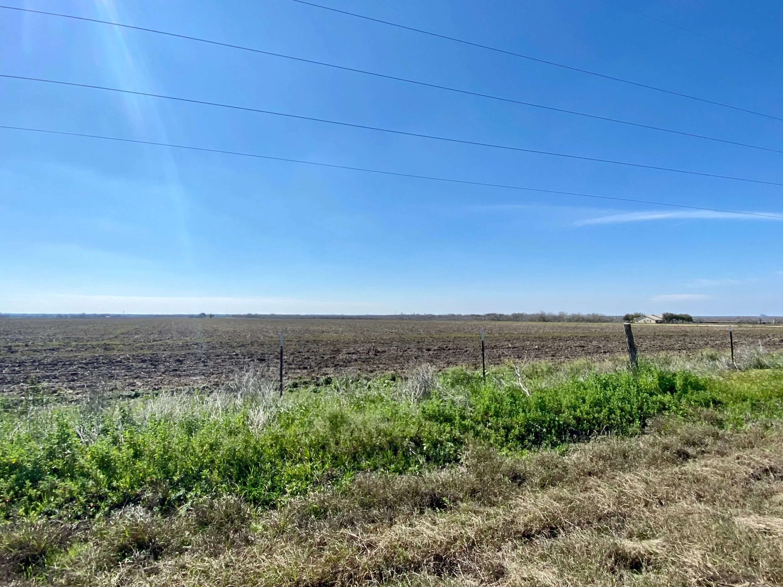
Big sky country in Texas between Corpus Christi and San Antonio.
One of our first conversations with a local in Louisiana centered around the concept of a strong “work ethic.” The man we were speaking to was a small businessman and boss of six employees. His perspective made a lot of sense. What boss wouldn't want productive workers? He went on to explain he wasn’t a fan of freeloaders - people too lazy to work, who wanted a handout from the government. I’m sure he’d fired his share of poor workers, but when it came to individuals wanting handouts, it seemed more like he was talking about an idea of what people are like than a reality. Maybe others know people who don’t seek the meaning that work brings us (even when they are unemployed or underemployed), but I do not. I can’t help but wonder if that experience is a reflection of my own cultural viewpoint, or an indication of a lack of exposure to reality seen through a cultural and political naivety.
One thing is certain to me: it is fundamentally human to seek meaningful activity. We all must live. And even in an age of extraordinary inequalities in wealth and income, the majority of us still must - and want to - work. So while there may be poor workers, are there really folks out there who think they deserve something for nothing?
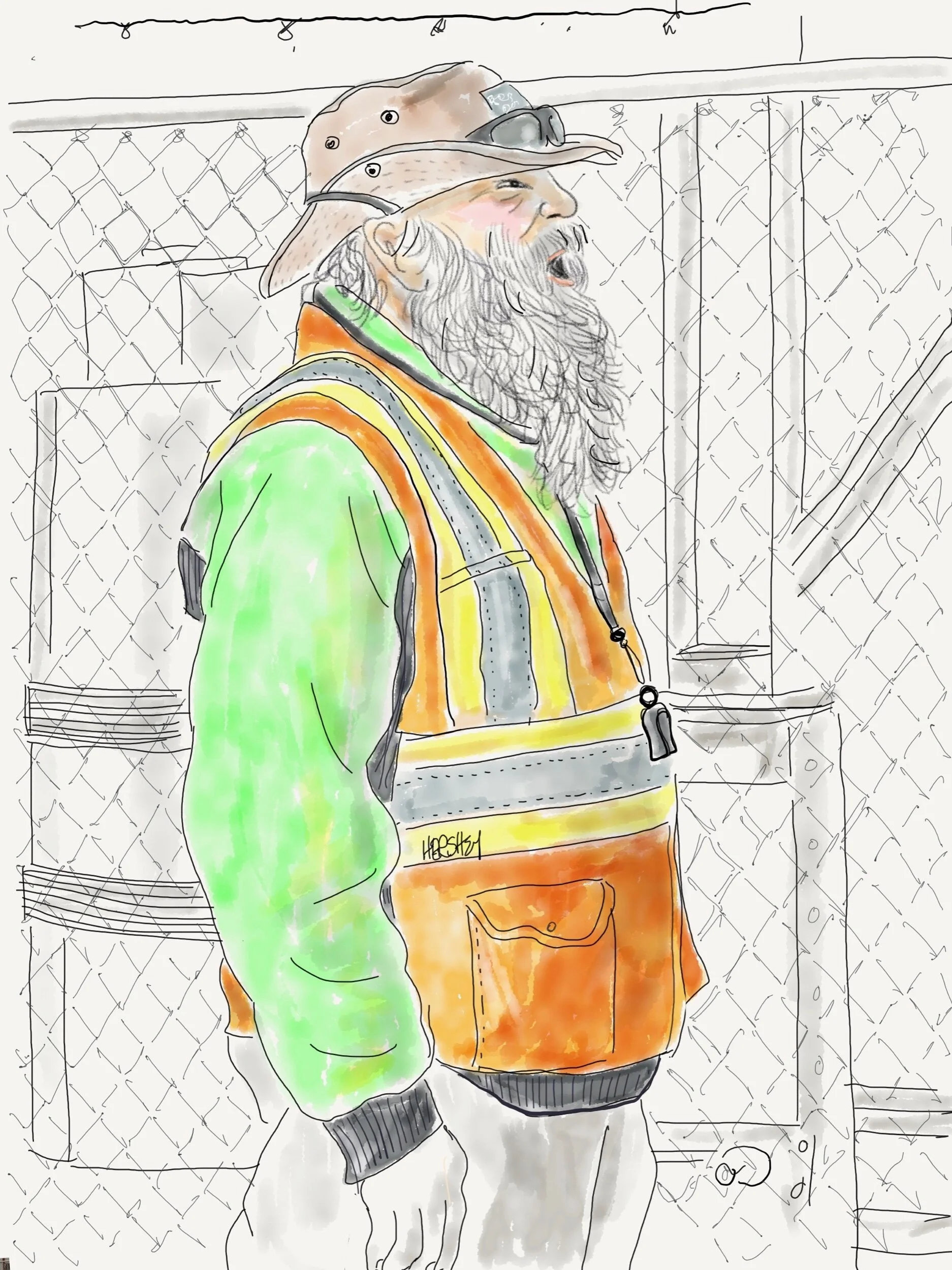
“We don’t get many bikes down here— just make sure you walk ‘em onto the ferry”! Drawing by Jennifer Hershey. Follow her work on Instagram at deeofo.
Although southwest Louisiana and southeast Texas are equally flat, the land between Corpus Christi and San Antonio seems especially vast. Perhaps it’s the steady 150 mile rise from the coast to San Antonio (which is 650 feet above sea level). Or perhaps it’s the unrelenting expanse of open, uninterrupted fields. Perhaps it’s the long, straight roads. Whatever the reason, it's BIG.
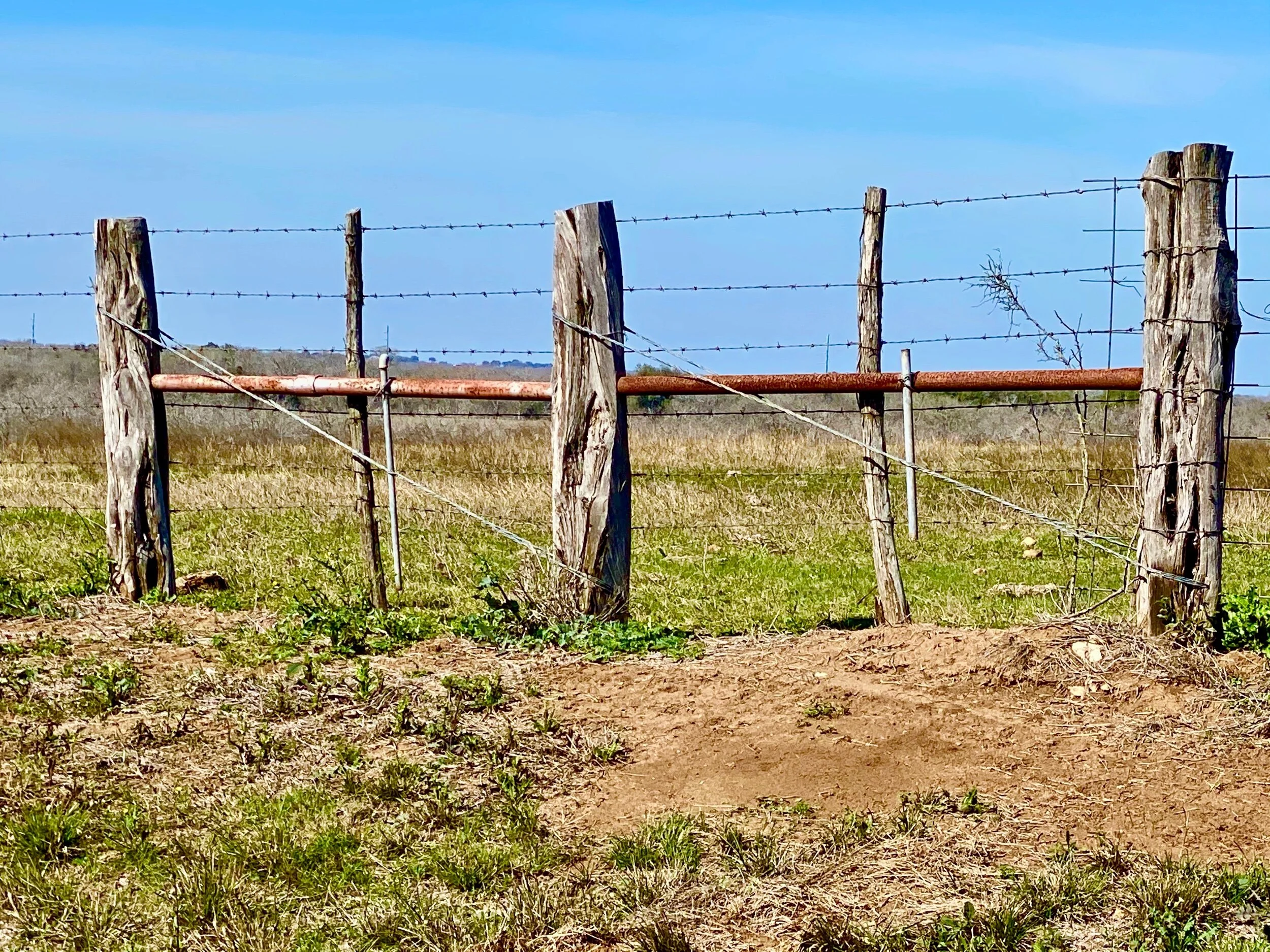
Taken on Texas State Highway 181 between Corpus Christi and San Antonio. Prior to the invention of barbed wire in the 1870’s, fences couldn't reliably contain cattle.
At the same time, both the land and people between Corpus Christi and San Antonio are hardscrabble. Pickups are normal, sedans are unusual. Regular folks are used to fishing and hunting. Although they don’t rely on their catches to stay alive, fish and animal wildlife seem to be part of the rural Texan diet, at least among the people we talked to. And the land is used in every way possible; for agriculture, farming, fishing, hunting, wind power, oil and gas extraction, compression stations, pipelines, home building, junkyards, storage sheds, telephone poles, auto graveyards, human graveyards… The Texas countryside is a hodgepodge of so many competing uses I often found it as overstimulating and confusing as a Wal-Mart Megastore.
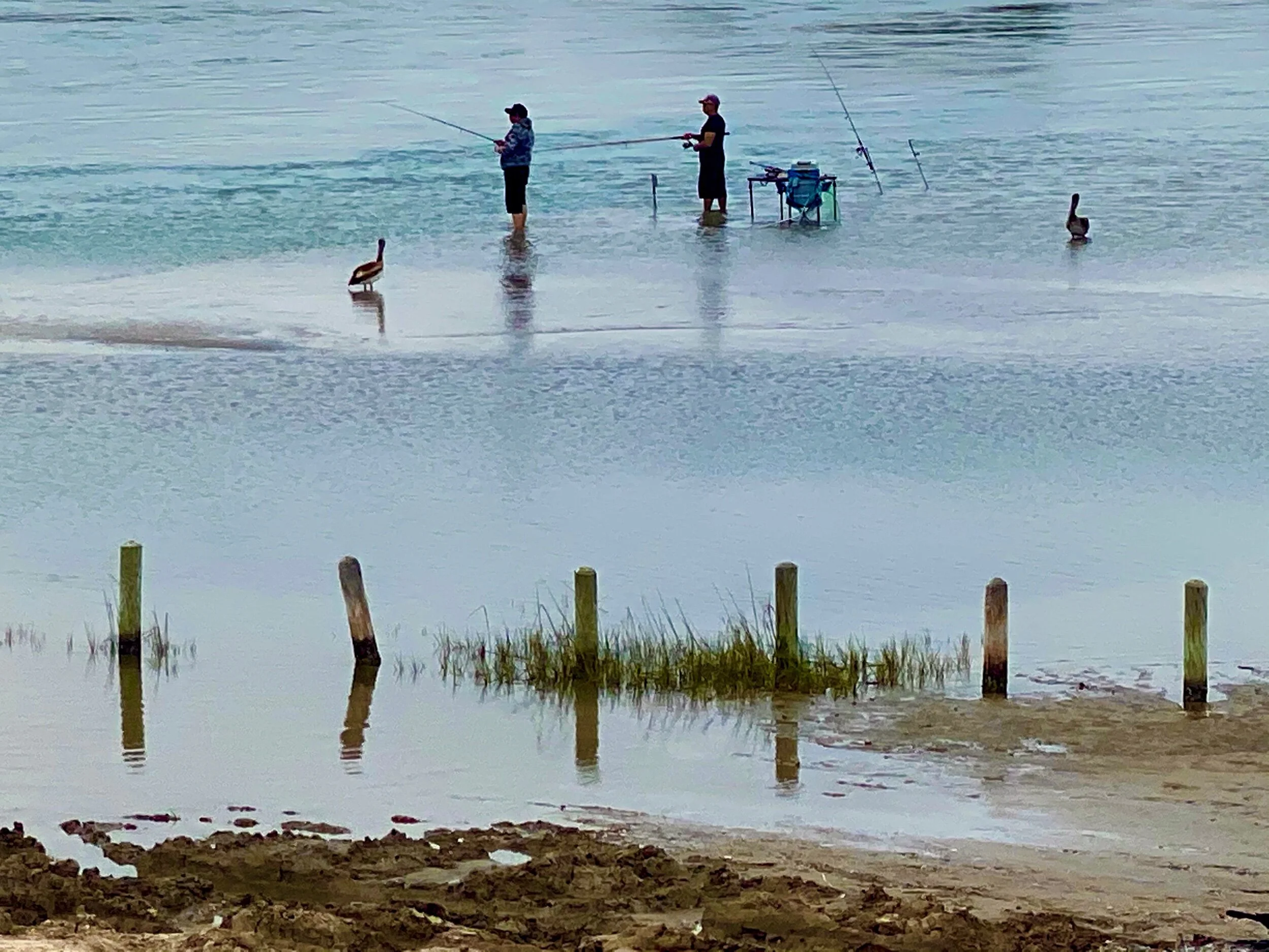
Texans fishing off the causeway between Aransas and Port Aransas, Texas. The birds nearby are Pelicans.
There's also a lot of workers. A surprising number of people work for wind farms and quite a few work in agriculture, but most of the people we met work for oil and gas or petrochemical companies. And there are a lot of companies. Thirty one new petrochemical plants have been approved for construction or reconstruction in hurricane prone areas on, or near, the Louisiana and Texas coasts since 2016. In our last post, we wrote about two large LNG exporting plants under construction in Cameron, Louisiana and nearby Port Arthur, Texas. These are among those 31 new plants.
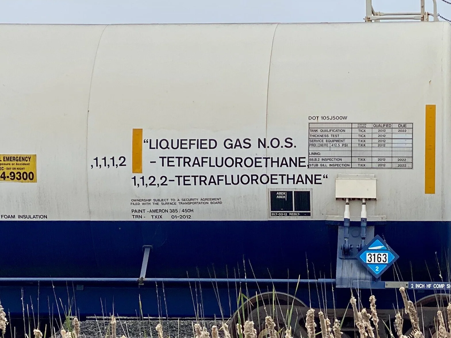
One of hundreds of refrigerant tank cars lined up near the Occidental Petroleum, Chemours, and Nashtec Plants at Gregory and Ingleside, Texas, not far from the Gulf Coast on the way inland to Beeville, Texas.
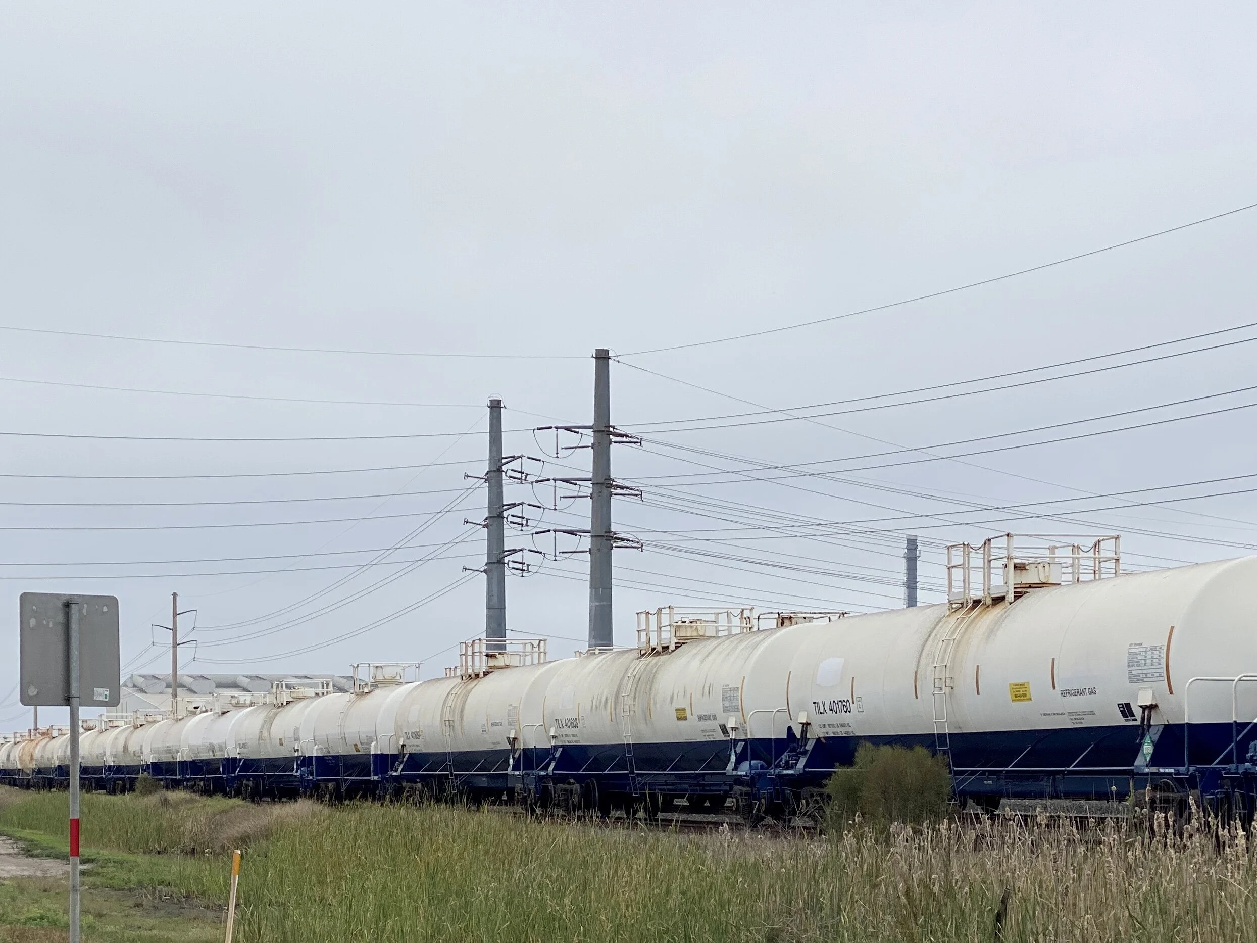
Tetrafluorethane is regarded as a “sustainable” refrigerant because it has lower carbon emissions than previous versions, and a minimal impact on ozone.
As much as we were profoundly charmed and cheered by the warmth of the people we met, the omnipresence of these facilities contributed to our uneasiness. In the face of climate change, does this boom really make sense? There’s something profoundly unsettling about the trend. I’m not so sure the locals feel any different. In Texas, even cognitive dissonance is BIG.
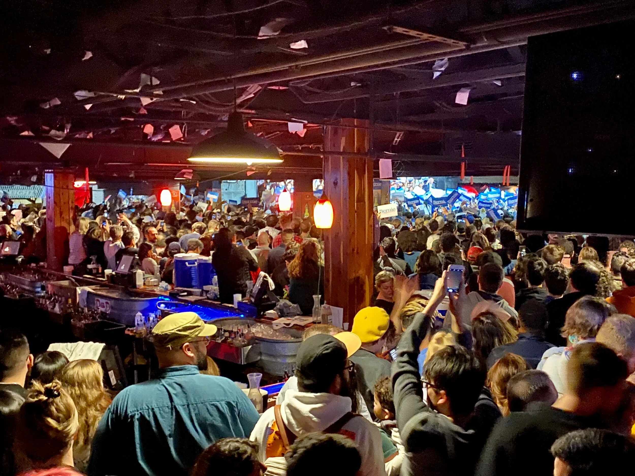
Interestingly, Jenny and I arrived in San Antonio on the night of the Nevada Democratic caucus, and we had the opportunity to drop into the famed Cowboy Dance Hall to catch a raucous, youthful and well-supported Bernie Sanders rally. Just for the record, we both appreciate Bernie’s concerns about climate change, but worry he is over-focused on what we need to achieve and under-focused on how to do it without causing a destructive backlash.
Northerners may not be aware that Texas is the leading U.S. producer of both crude oil and natural gas. In 2017, the state accounted for 37% of the nation's crude oil production and 24% of its marketed natural gas production. NPR.org reports that Texas currently supports a total of 163 natural gas production plants, and Texas has the largest processing capacity in the U.S. In addition, there are 29 petroleum refineries in Texas that process more than 5.7 million barrels of crude oil per day. These plants account for 31% of the nation's refining capacity.
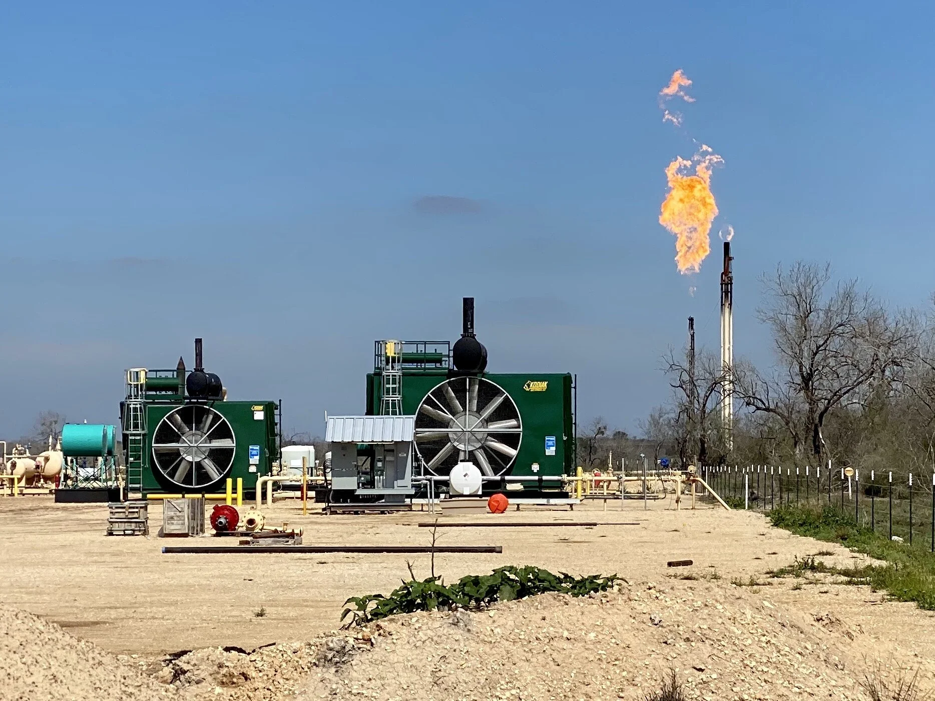
A hydrogen sulfide (H2S) flare near a gas pad. Flaring burns off gas that is deemed uneconomical to collect and sell. It is common to flare natural gas that contains hydrogen sulfide to convert the highly toxic hydrogen sulfide gas into less toxic compounds. Although the practice of flaring is decreasing as pipeline efficacy improves, the following air pollutants may be released from natural gas flares: benzene, formaldehyde, polycyclic aromatic hydrocarbons (PAHs, including naphthalene), acetaldehyde, acrolein, propylene, toluene, xylenes, ethyl benzene and hexane. Taken from this source.
On our next trip to the southwest, we hope to visit the fast growing, second most productive oil field in the world (as of 2018), located in the Permian Basin in western Texas and New Mexico.
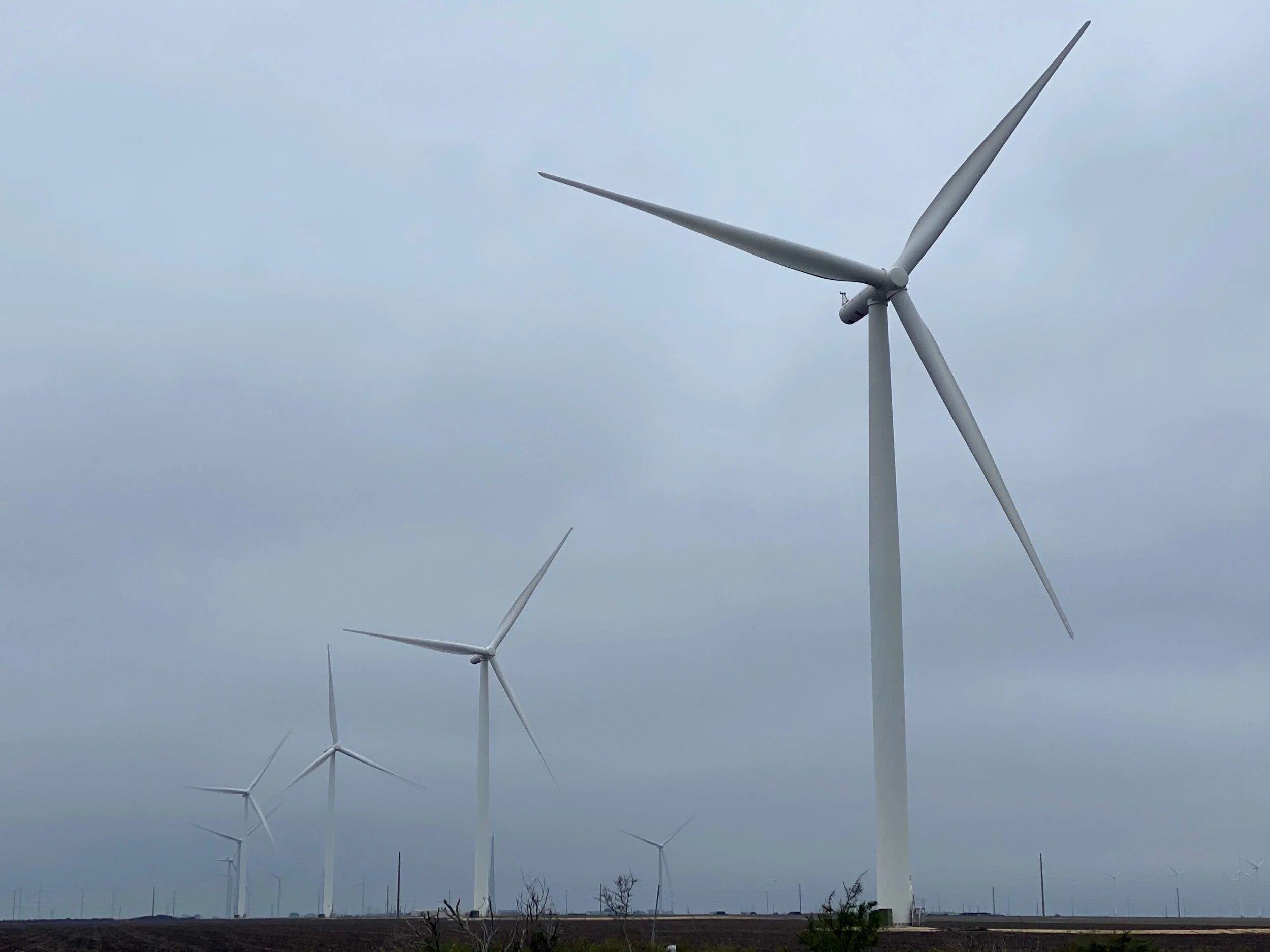
Just above Gregory we encountered a large wind farm on agricultural fields that spanned to the horizon on both sides of the road for almost 8 miles. Later we learned it is run by E.ON Climate and Renewables North America, one of the worlds largest developers, owners, and operators of renewable energy projects. EON owns and operates over 1,900 MW of wind farms in the United States. The wind on these flat plains are intense (we learned that the hard way), and there are quite a few more wind power companies in the area.
Perhaps more surprisingly, Texas leads the nation in wind-powered generation. The state produced one-fourth of all the U.S. wind powered electricity in 2017. Texas wind turbines have produced more electricity than both of the state's nuclear power plants since 2014. And equally interesting, Texas produces more electricity than any other state, generating almost twice as much as Florida, the second-highest electricity-producing state. All combined, Texas is the largest energy-producing state in the country. It’s also the largest energy-consuming state in the nation. In fact, the industrial sector, including its refineries and petrochemical plants, accounts for half of the energy consumed in the state.
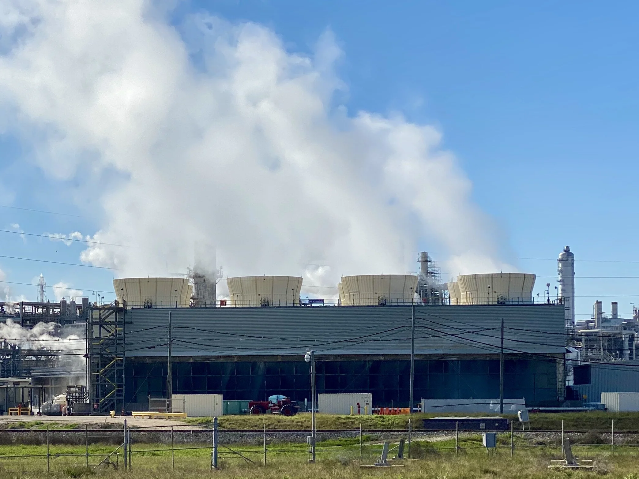
Cooling Towers on the Dow Chemical Plant in Freeport, Texas.
Given our lowbrow method of bicycle travel to offbeat roads and towns, we had lots of opportunities to speak with locals. We didn’t meet one person who spoke of his or her job in disparaging terms. We were often met with gratitude for the opportunities that seemed to be available. Truth is, Texas is humming. The unemployment rate is 3.4%, while the national average is 3.6%. Louisiana’s rate is slightly higher at 4.5%, although it was 6% in November of 2016. By most measures in both states, employment is looking up.
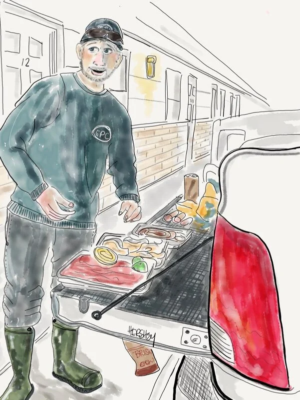
“Me?- I’m Norberto. Me an’ my brothers, Ivan and Freddy cook our meals for the week out here. We take our lunches to the plant.” Drawing by Jennifer Hershey. Follow her work on Instagram at deeofo.
Norberto and his brothers had traveled from their home near Brownsville to work at a plant near Kenedy, Texas. There’s a lot of available jobs there. We counted 9 oil and gas plants in this town of 3500 people.
The evening we hung out with Norberto and his brothers, I fell into a conversation with one of their friends, an oil worker named Jose. An Hispanic transplant from Indiana, Jose was happy to be finding so much work in a part of the country that he preferred. He educated me for awhile about H2S flaring and modern pipeline construction methods, which I appreciated. It was comforting to hear the industry was actually trying to lower methane emissions. After a while, I asked him about his politics. Jose was unabashedly straightforward about supporting Trump because Trump supported his industry. I turned the conversation to climate change. He hesitated a bit as I gently expressed my concern about carbon emissions and what might happen to the world my grandchildren will be inheriting. He didn’t have children, so I kept the conversation a few generations out. I could also tell Jose was aware lots of folks felt like I did, and I could feel him becoming defensive. So I changed tack. I told him I didn’t begrudge anyone working in any industry who was trying to achieve his or her fair share of the American Dream.
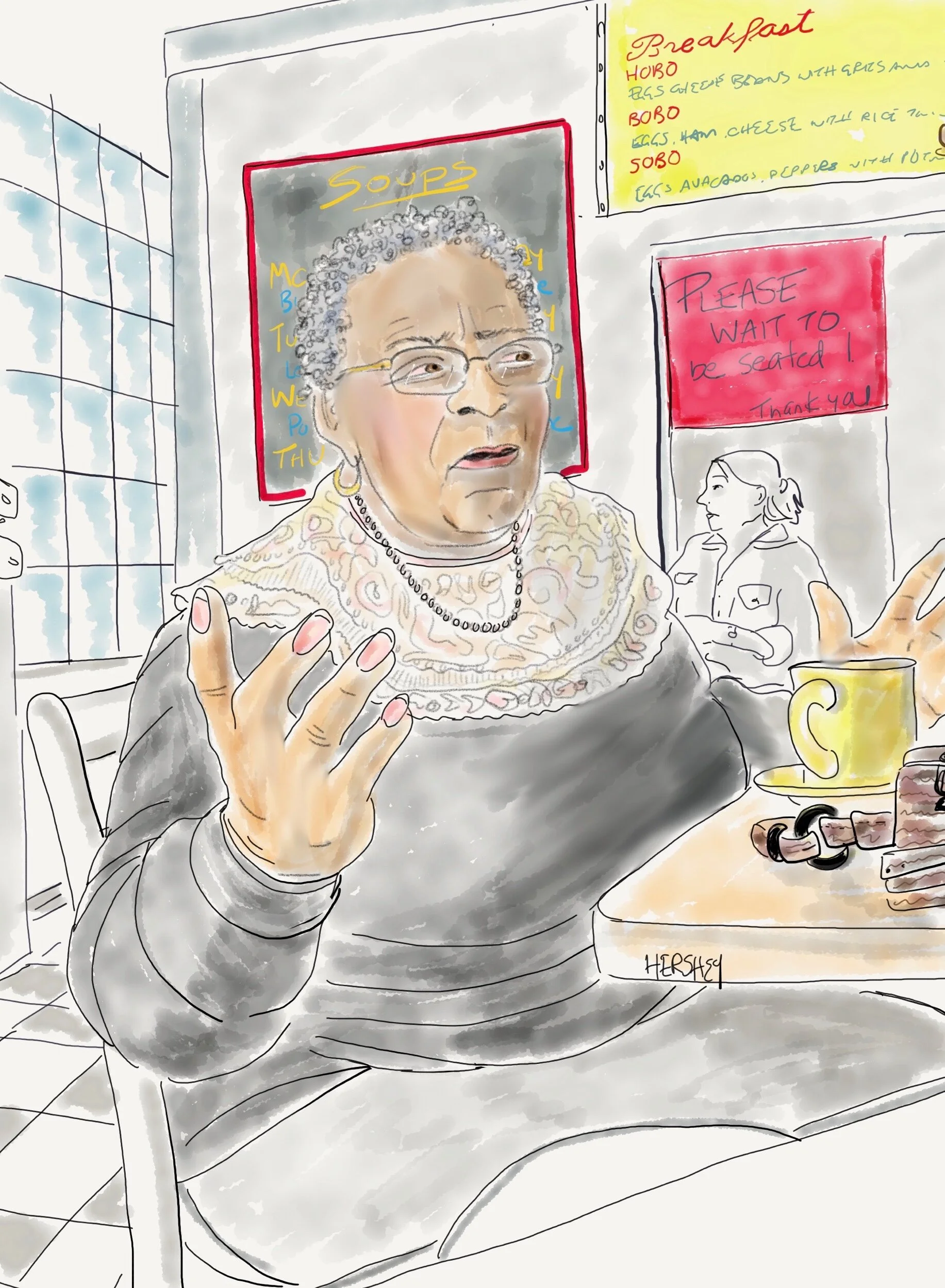
“I used to be an intelligence analyst for the army in Germany. I moved back here to be close to my military family. I pray everywhere and anywhere because God is always where I’m praying”. Drawing by Jennifer Hershey. Follow her on Instagram at deeofo.
I remember how isolated veterans felt when they returned from the Vietnam war many years ago. Coming back to a divided country after having served in an unpopular war was a miserable experience for so many veterans, and their shame and degradation cloyed deeply at those of us who opposed the war. Consequently, it was a relief when Americans did not do the same thing to vets when they returned from the second Gulf War - a war equally as unpopular as Vietnam. It seemed that Americans understood had that our vets were not the perpetrators of an unpopular and ill-advised conflict, but were instead brave men and women who had been asked to do something unpopular and counterproductive by their superior officers. In that case, the right people were held accountable for poor choices.
Just as those of us who are deeply worried about the growing climate emergency are realizing that meaningful change has little relevance to the consumer-based choices of the average middle class, we also need to avoid blaming our brothers and sisters who work at low and mid-level technical jobs in an industry that has brought us so much, but is also causing us great damage.
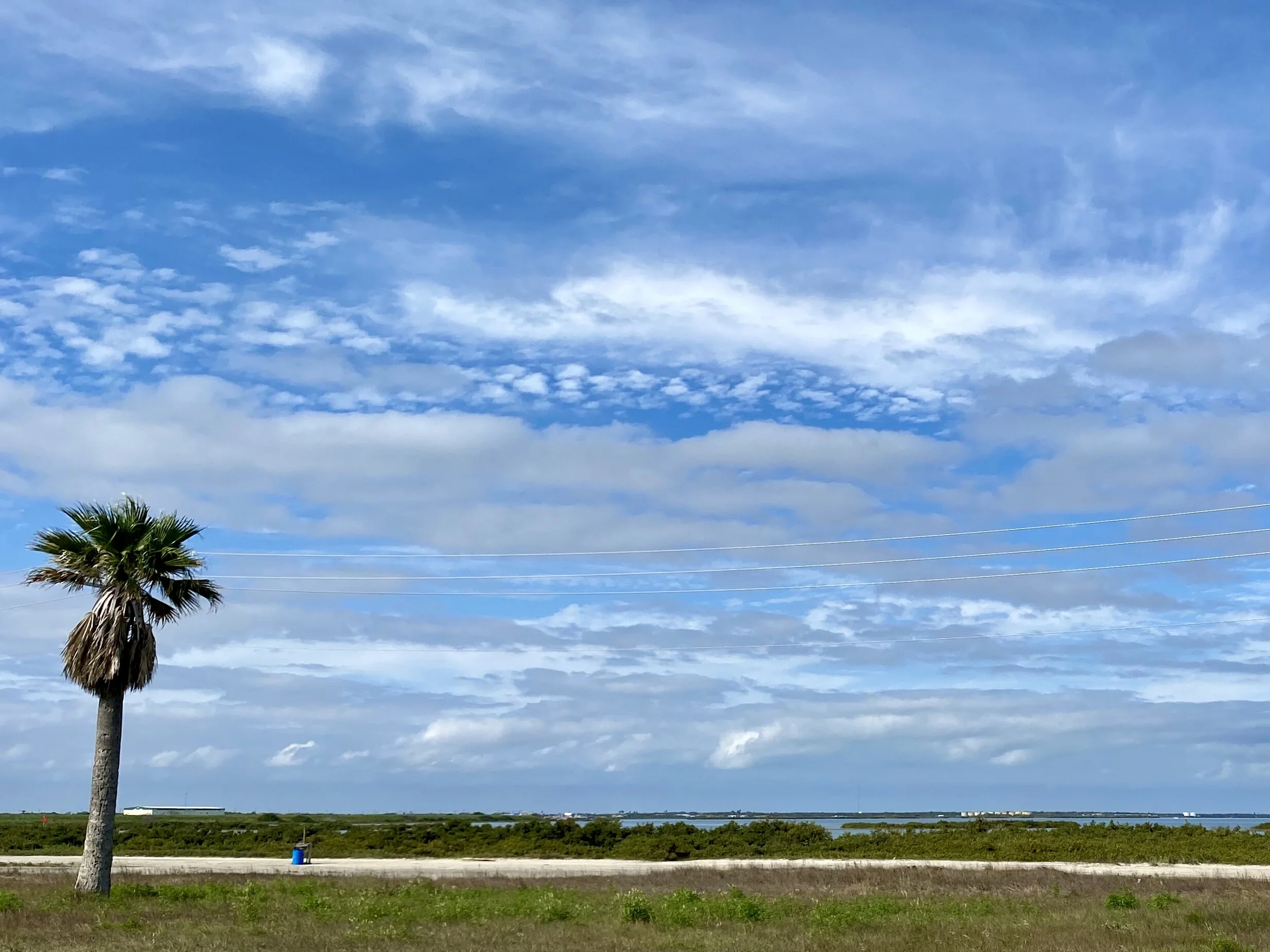
Looking south from the causeway between Aransas and Port Aransas, Texas.
Jobs matter. They are a necessity. At the same time, we need policies that will aggressively curb and eliminate carbon emissions. I've heard conservative Republicans say that it’s not fossil fuels that are the problem, it's emissions. In response, I say …. great! If one really trusts the free market, then put a price on those emissions (and return the proceeds as a dividend to taxpayers to mitigate additional costs), and trust the market to work its magic. And if that intervention doesn’t do the work fast enough (at the rate that science tells us we need) then let’s put our money where our mouth is and trust the market enough to increase the price of carbon until it’s enough. Let’s bring the emissions down! If we can use the market to stimulate innovation that will help us save a lot of our oil and gas jobs, that’s terrific! If not, then let’s accept the truth of our situation and create a different kind of economy.
As one of the people we met kept saying, “I'll tell you what” …Using the ridiculous excuse that the science isn’t settled isn’t acceptable. The science of climate change is as verified and verifiable as the concept of gravity (about 98% of scientists agree both are happening). Climate change isn’t convenient, that’s for sure. But just because we don’t like that it’s happening isn’t a reason for denial. Let’s deal with it.
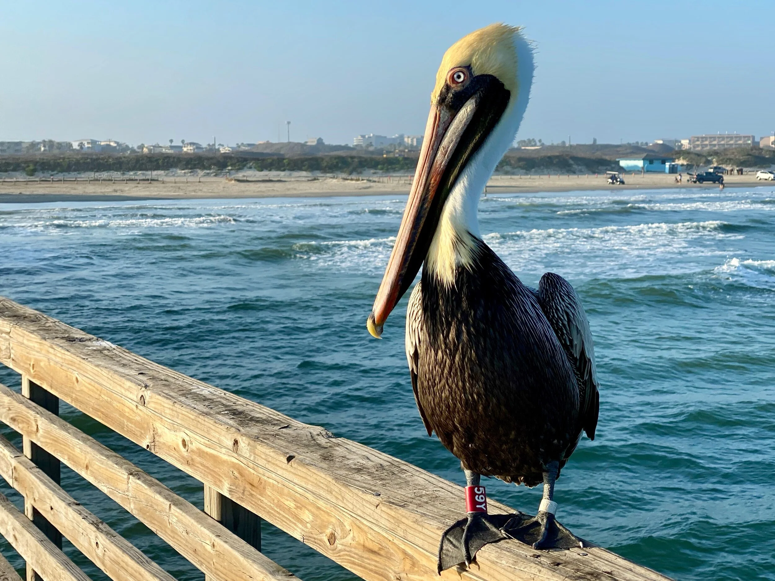
Yet another Pelican poses for us near Corpus Christi.
This blog post concludes our latest trip from New Orleans to San Antonio. I am writing this on an Amtrak train, with our bikes safely stowed in the baggage car. It’s been an extraordinary trip. If you haven’t visited the 4 missions on the San Antonio River, we enthusiastically recommend them, especially Mission San Juan. A few key pictures from there are posted below.


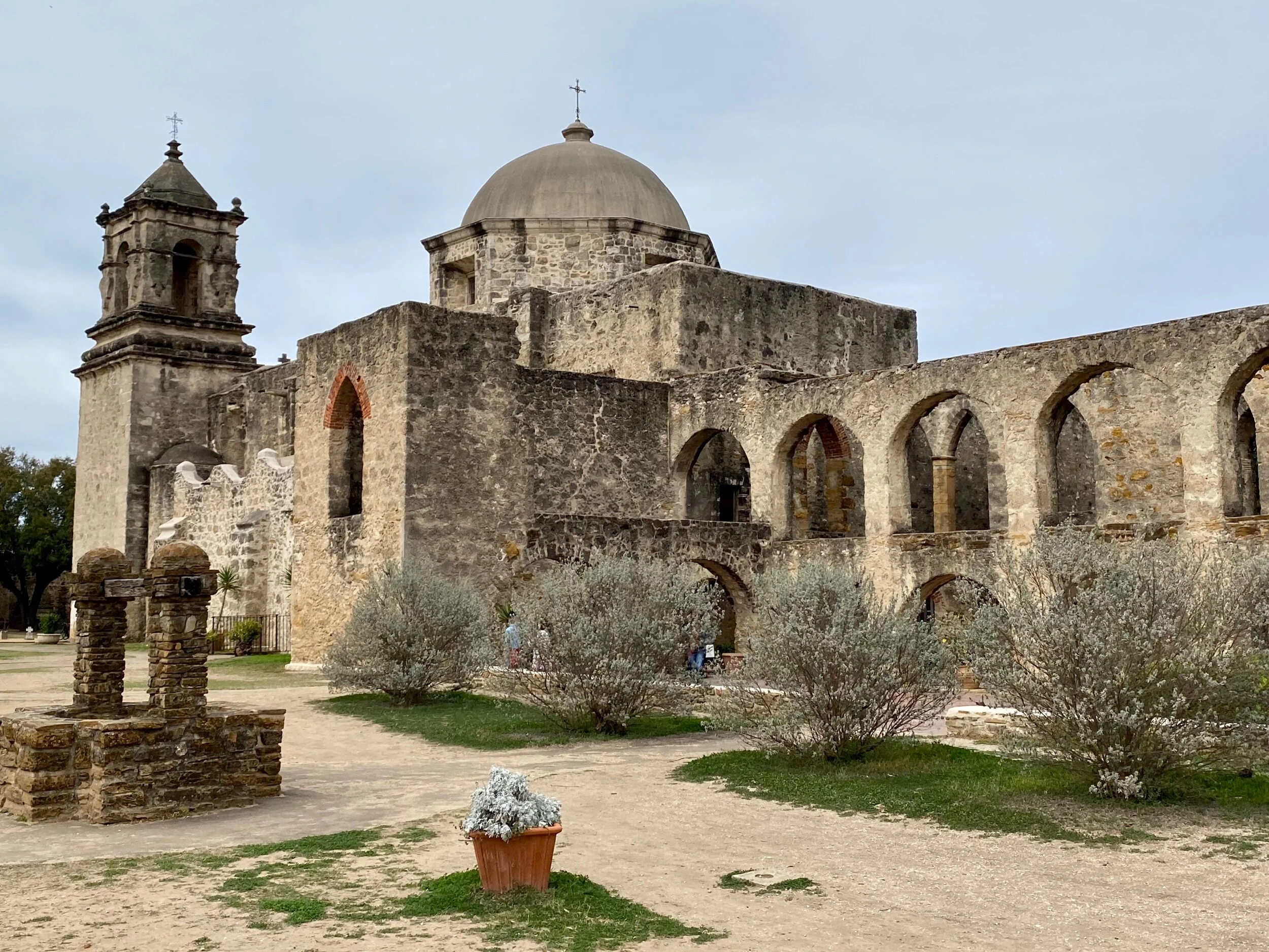
Below are links to this entire trip. If you don’t have a Garmin account you will have to create one to see them (it's worth it if you're a biking geek or map lover).
1) New Orleans Road Cycling, 2) New Orleans Road Cycling, 3) Donaldsonville Road Cycling, 4) Morgan City Road Cycling, 5) St Mary Parish Road Cycling, 6) Abbeville Road Cycling, 7) Lake Arthur Road Cycling, 8) Cameron Parish Road Cycling, 9) Port Arthur Road Cycling, 10) Galveston Road Cycling, 11) Freeport Road Cycling, 12) Matagorda County Road Cycling, 13) Refugio Road Cycling, 14) Port Aransas Road Cycling, 15) Bee County Road Cycling, 16) Kenedy Road Cycling, 17) Floresville Road Cycling, 18) San Antonio Road Cycling, 19) San Antonio Road Cycling, 20) San Antonio Road Cycling.
Thanks for reading! There’s always more to come, but this particular trip is complete.
All photos, unless credited or otherwise noted, are copyrighted property of the blog post author.
Louisiana/Texas, Post 3
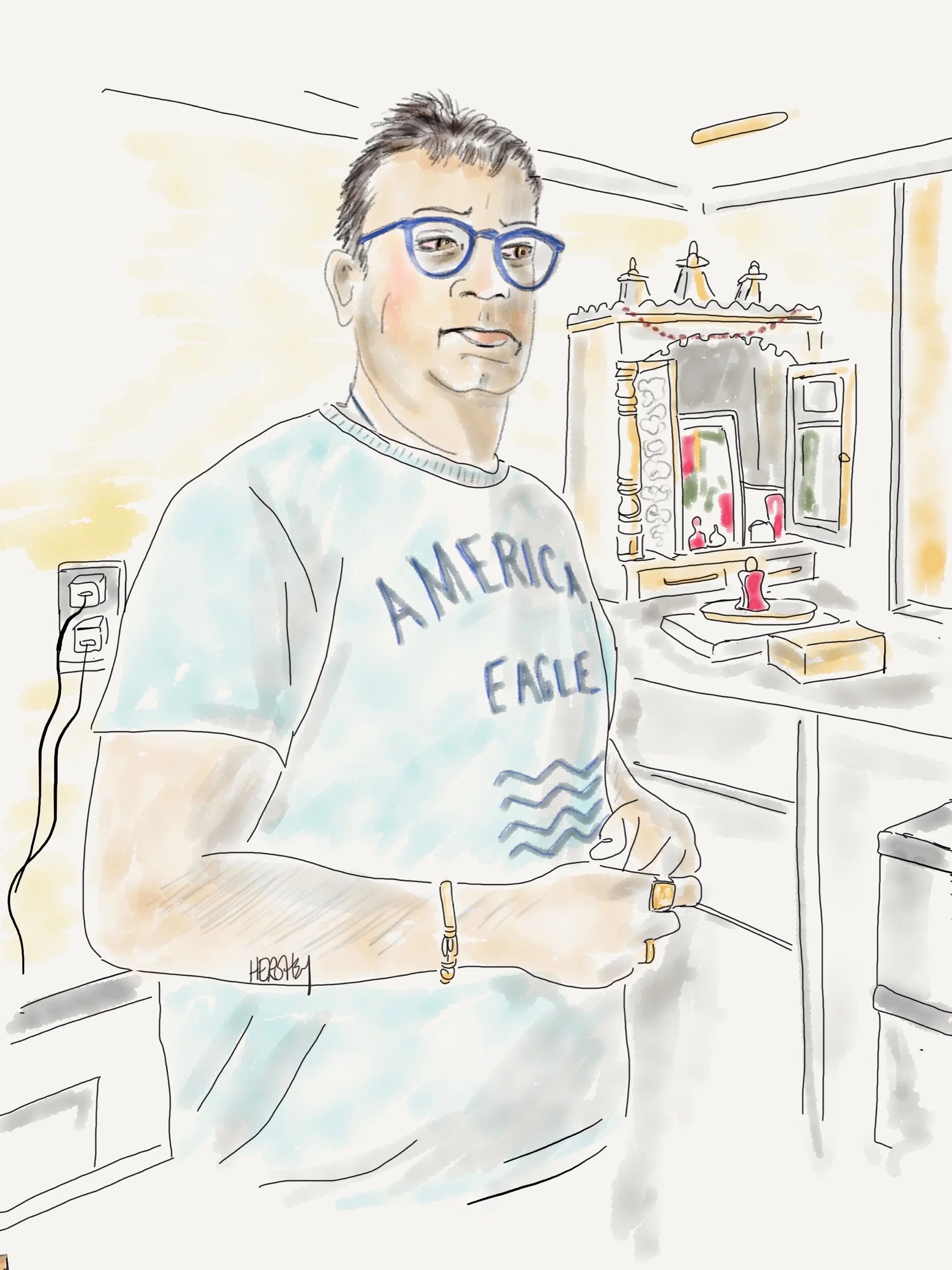
“My wife and I take turns praying at our altar. We are Hindus. But we love this motel. It’s all ours”. This drawing of a proprietor of a mid-century motel in Freeport, Texas was done by Jennifer Hershey. You can follow her work in Instagram at deeofo.
Welcome from Port Aransas, Texas, just slightly southeast of Corpus Christi, Texas.
—————
“It was the best of times, it was the worst of times, it was the age of wisdom, it was the age of foolishness, it was the epoch of belief, it was the epoch of incredulity, it was the season of light, it was the season of darkness, it was the spring of hope, it was the winter of despair.”
-from a A Tale of a Two Cities by Charles Dickens.
Such are the times we live in.
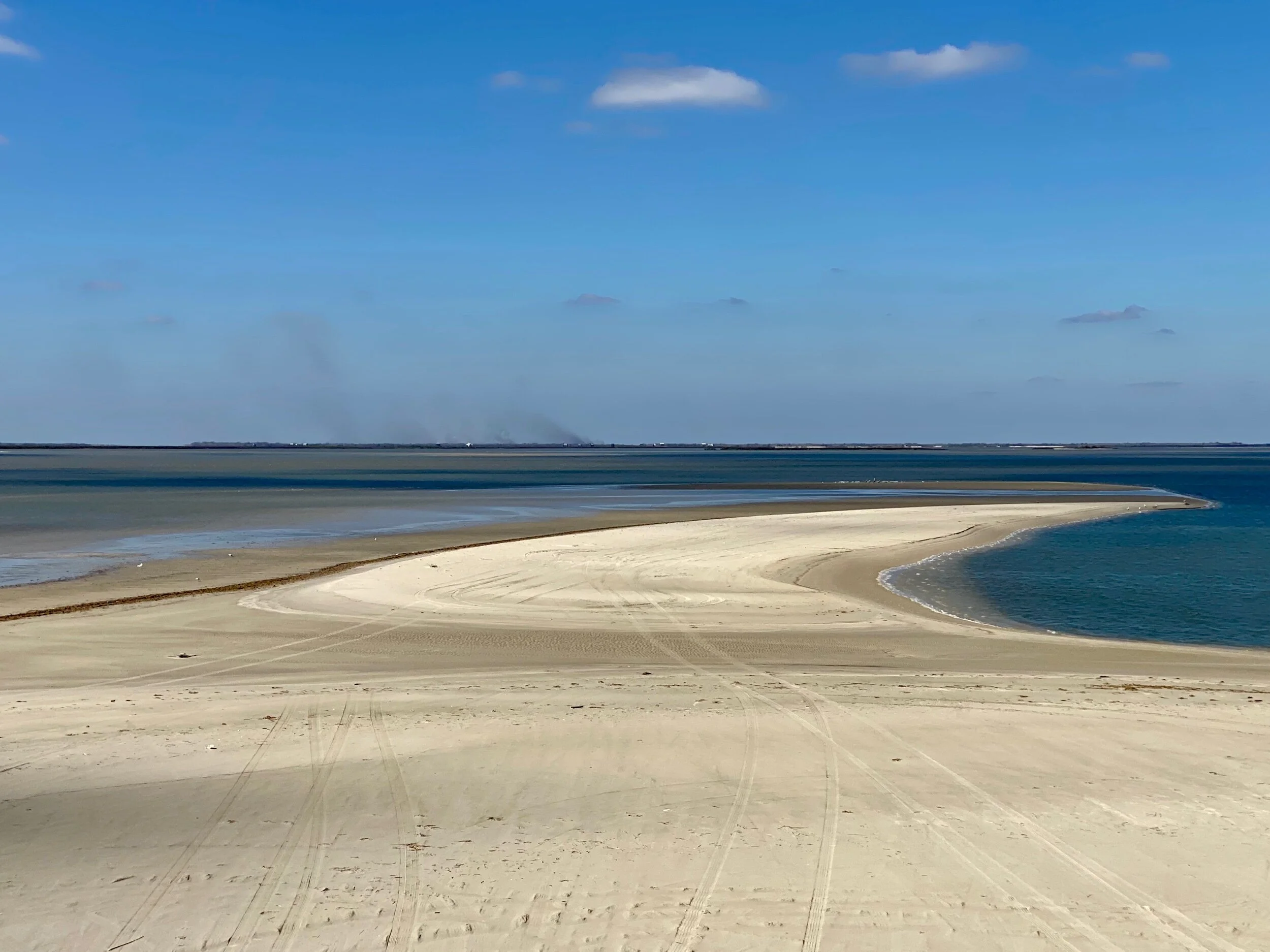
On the way to Freeport, Texas. We learned later the smoke in the background is from a Dow Chemical plant that removes magnesium from sea water.
Our trip continues to be an extraordinary exploration of exquisite natural landscapes, occasional encounters with wildlife (dead and alive), great conversations with diverse and friendly people, navigating delightful and terrifying roads, dealing with sublime and challenging weather, and periodic confrontations with seedy and startlingly ugly industrial landscapes.
Texas is definitely big sky country, and southeastern Texas is as flat as a pancake on a hot griddle.
Perhaps we can borrow from Dickens, and instead of symbolic cities substitute citadels, or communities of people who live inside of self-imposed walls. Like any citadel that is protected from others, we can only see what’s inside, and have no idea of what’s on the outside.
The Dow Chemical Plant near Freeport is situated just above the Intercoastal Waterway on a vast marsh.
In a way, Fox News and CNN are the storytellers for two distinct narratives that reflect two separate citadels: urban and rural America. Our cities are the center of our intellectual, artistic, entertainment and media capitals. Our rural areas - especially evident down here in southeastern Texas - provide access to our natural environments, produce our food (and also increasingly produce electricity through wind-power on the same land), and also extract and move our oil and gas providing our cities with both food and energy. Consequently, they also are the sites for some of our most polluting, dangerous and economically critical industries.
A close up shot of the Dow Chemical plant in Freeport. Locals say this is one of the largest chemical plants in the world.
As I mull over what we are encountering, I find myself thinking the challenges on the Louisiana and Texas coastlines result in a mixed landscape not unlike our home town of New York City. There’s an abundance of both beauty and squalor, and avoiding either one gives visitors an incomplete understanding.
View from the San Luis Pass-Vacek Toll Bridge, which spans San Luis Pass into Brazoria County, Texas.
Clearly, I love the natural beauty of this coastline and its inland marshes, farms, and woodlands. But the story told through the industrialization of the Gulf Coast sticks in my craw. As a northerner, I’m struck by my own complicity in a type of NIMBY (Not in my Backyard) reality. I enjoy living in a city that has (with some exceptions in poorer neighborhoods in the outer boroughs) enjoyed increasingly cleaner air and water over the past several decades through stricter environmental regulations and a shift in focus from industrial production to digital technology.
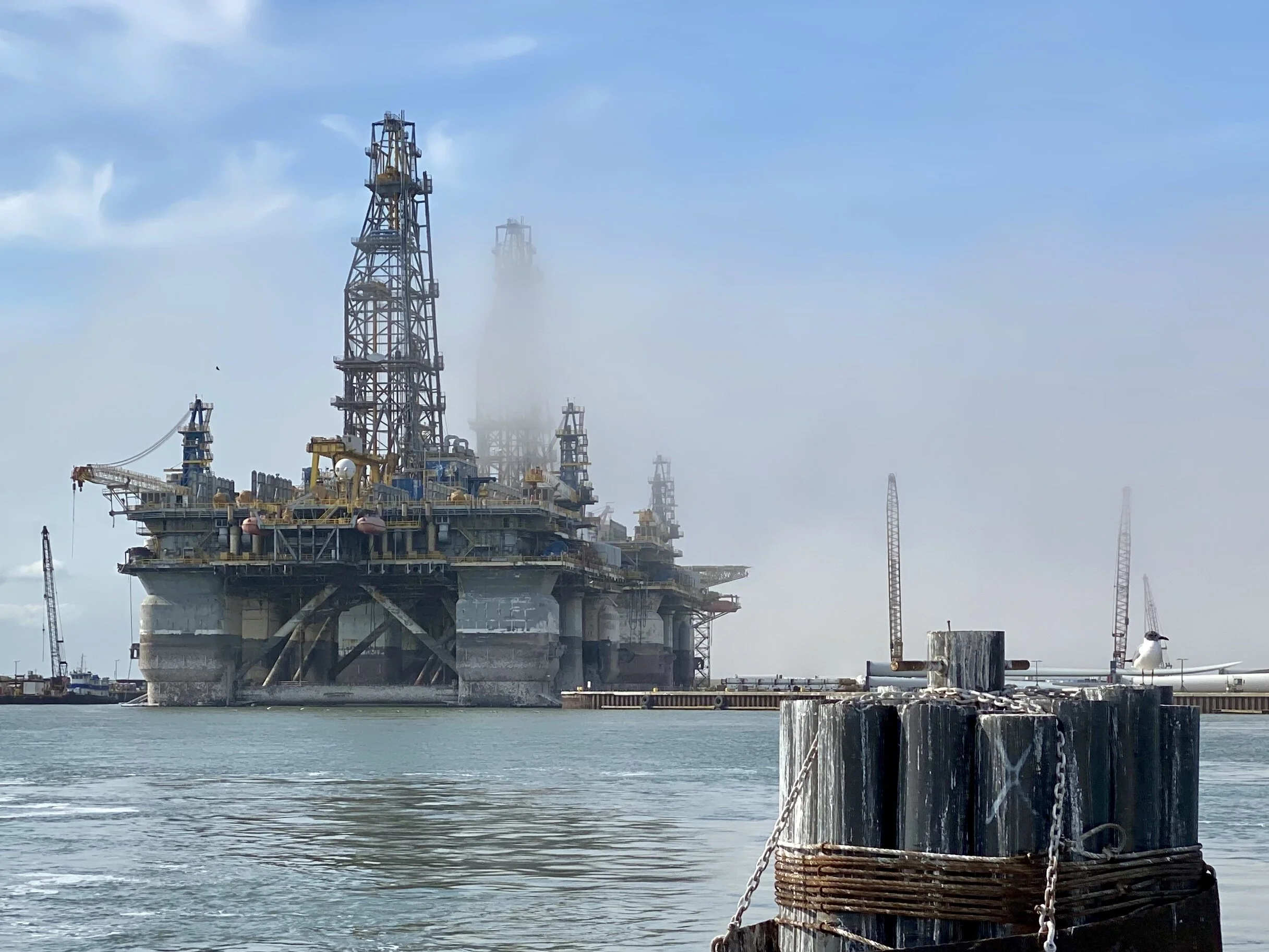
Temporary oil derricks next to the Corpus Christi shipping channel. The local community was told they would be there for six months, but are still there after almost 3 years. And it’s a big bone of contention in this community. Picture taken from the Port Aransas Ferry.
Yet, the nasty stuff used in so many of our industrial processes, plastics and household products has to be made somewhere (at least in our current economy), and some of those places are along the Louisiana and Texas coasts. And like all poor and moderately poor neighborhoods, when jobs are at stake the nature and consequences of those industries matter less than the jobs they bring.
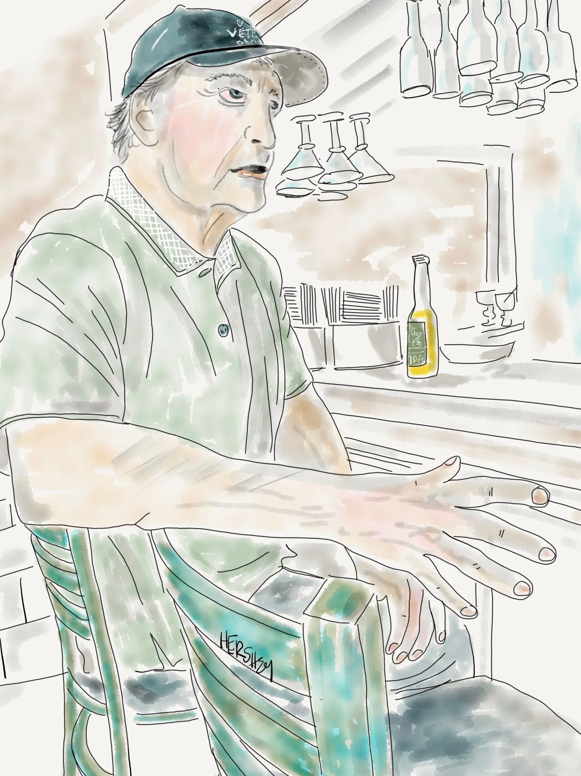
“Well I’ll tell you what—they got the best seafood right on that Seawall”. Drawing by Jennifer Hershey. Follow her on Instagram at deeofo.
Occasionally locals will resist. We met a local at a great Mexican restaurant in Freeport who had worked in most of the nearby plants over his decades long career (he was probably in his 60’s). He did a short stint at the nearby Dow Chemical plant, but didn’t stay long. The plant officials said it was safe, but he told us that it sure didn’t seem safe to him, so he moved on.
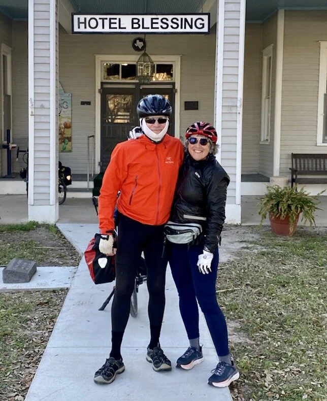
Jenny and I standing in front of the Hotel Blessing.
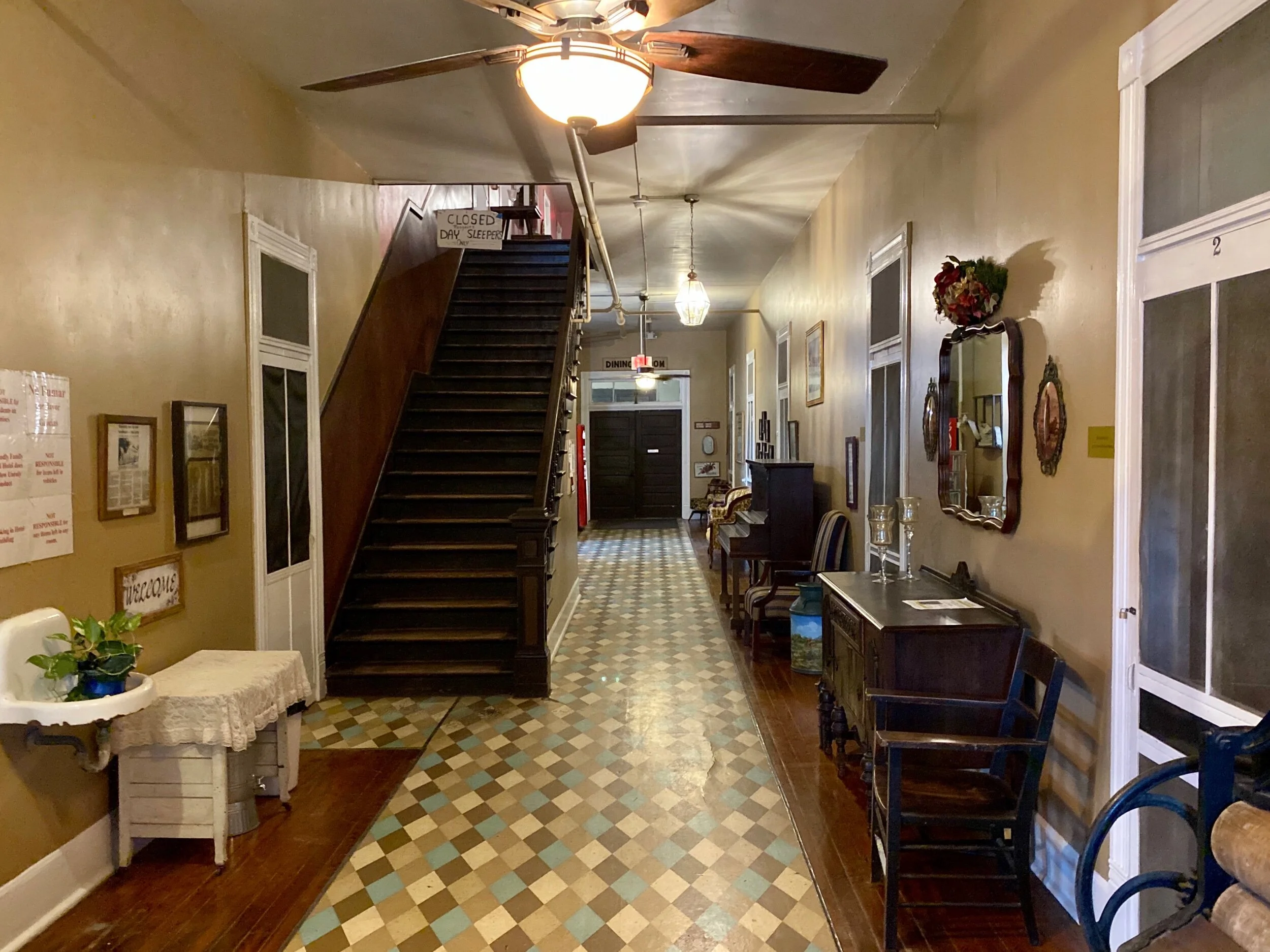
The downstairs interior of the Hotel Blessing in Blessing, Texas, population 861. Blessing was named in the early 1900’s out of the gratitude for local agriculture, railroad and coastal development.
Yet, lots of folks down here are glad for all that Texas has to offer. I’ve heard more than one person boast about being “Texas born and bred”. And even one town has named itself after its good fortune. By sheer coincidence, we found ourselves needing to stop at the one hotel about the right distance between Freeport and the Corpus Christi area (we couldn't stay on the coast because the old coast road was washed out by Hurricane Ike). It’s called Hotel Blessing, named after the town of Blessing.

“Oh I’ve been doing this for years. If they keep coming....I’ll be here”. Drawing of Helen Feldhousen by Jennifer Hershey. Follow her on Instagram at deeofo.
We didn’t know what we were in for at the time, but after a restless night at the Hotel (we could hear everything - yep, everything - going on during a busy Valentines Day evening) we went to breakfast at the Hotel Blessing Coffee Shop. We were greeted by the intrepid Helen Feldhousen and a cast of other folks - some of whom who show up in the Texas “Bucket List” broadcast below.
I am thinking quite a bit about the concept of “the tragedy of the commons”. This is a situation where individual users, acting independently according to their own self-interest, behave contrary to the common good of all users by depleting or spoiling the shared resource through their collective action. “Not in my Backyard” (NIMBY) actions are related conceptually. For example, my own life is made better by situating so many large petroleum chemical and oil and gas plants so far away from large cities on either the west or the east coasts. At the same time, the people of southeastern Texas gain through employment opportunities where the only other options would be tourism or agriculture. Yet, their very livelihoods are put at risk by the significant carbon pollution of the industrial activity here, because it contributes to the extreme weather that may ultimately destroy those plants, along with their jobs.
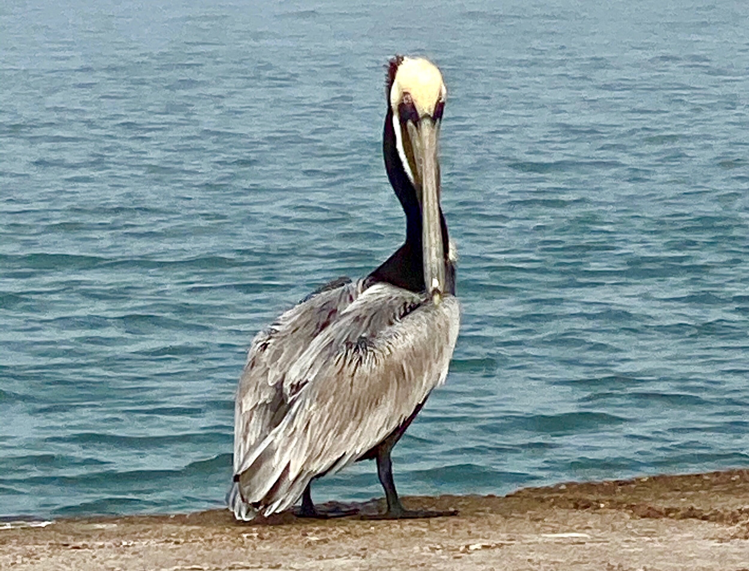
A very mellow Pelican stares us down on the beach at Port Aransas.
Additionally, citizens around the world gain nothing by the carbon these plants and their related industries have added to our atmosphere. It’s worth contemplating that although America contains 5% of the worlds population, we are responsible for 25% of the carbon put into the atmosphere since the dawn of the industrial revolution. And although China is now the world’s greatest carbon polluter, we remain the world’s greatest carbon emitter on a per capita and country basis combined. That fact alone suggests that our way of life is a big part of the tragedy of the commons that climate change is extracting. It's clear that staying with the status quo is the worst thing we can do. It’s time to step up to a different plate.
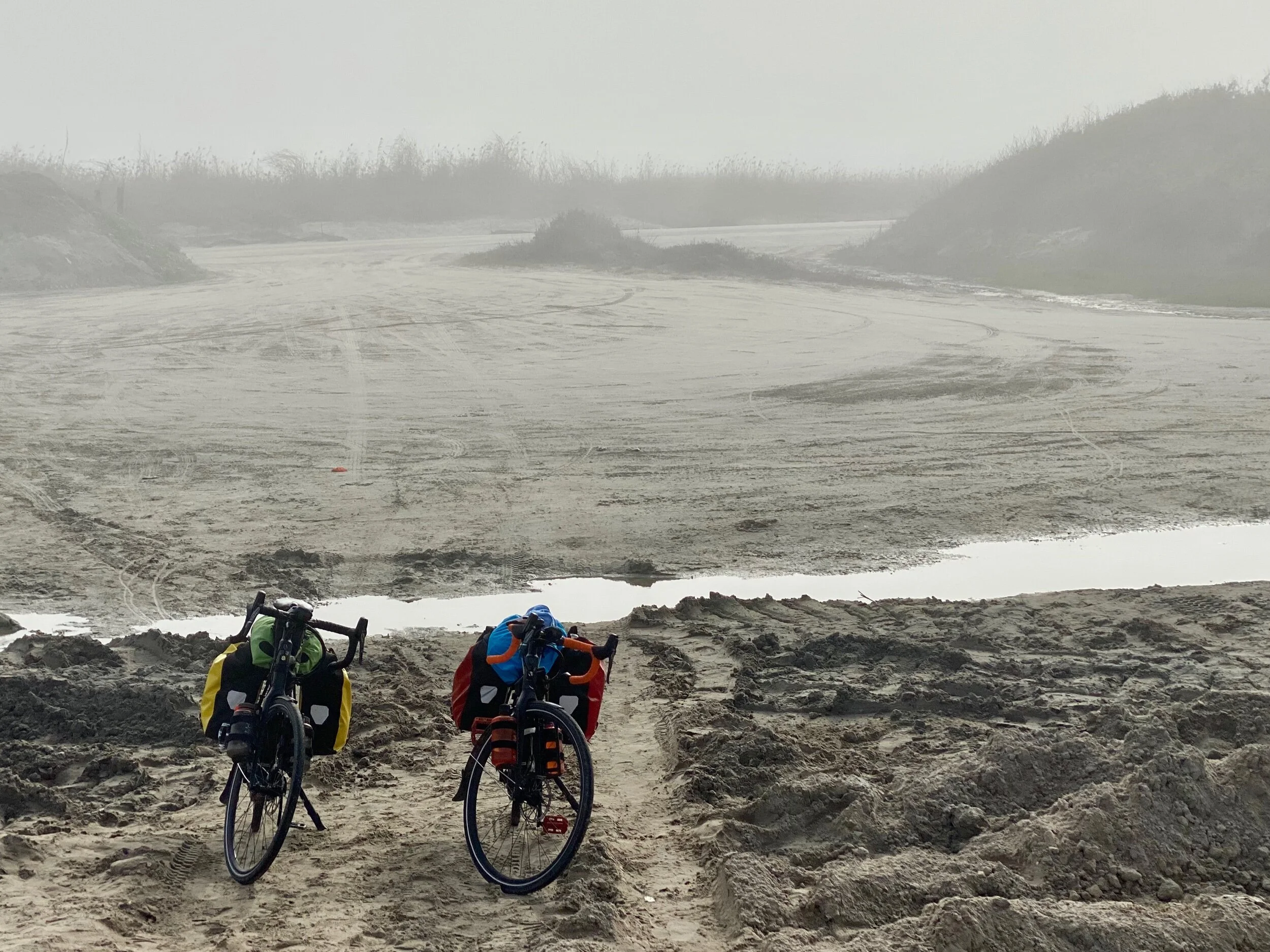
Our bikes in fog at the beach on Port Aransas Beach, Texas.
A few of you told me you missed the links to the Garmin maps showing our journey day by day, so I include links below to our entire trip to date. If you don’t have a Garmin account you will have to create one to see them (it's worth it if you're a biking geek or map lover).
1) New Orleans Road Cycling, 2) New Orleans Road Cycling, 3) Donaldsonville Road Cycling, 4) Morgan City Road Cycling, 5) St Mary Parish Road Cycling, 6) Abbeville Road Cycling, 7) Lake Arthur Road Cycling, 8) Cameron Parish Road Cycling, 9) Port Arthur Road Cycling, 10) Galveston Road Cycling, 11) Freeport Road Cycling, 12) Matagorda County Road Cycling, 13) Refugio Road Cycling, 14) Today we are in Port Aransas, Texas, just slightly southeast of Corpus Christi, Texas.
Thanks for reading! More to come…
All photos, unless credited or otherwise noted, are copyrighted property of the blog post author.
Louisiana/Texas, Post 2
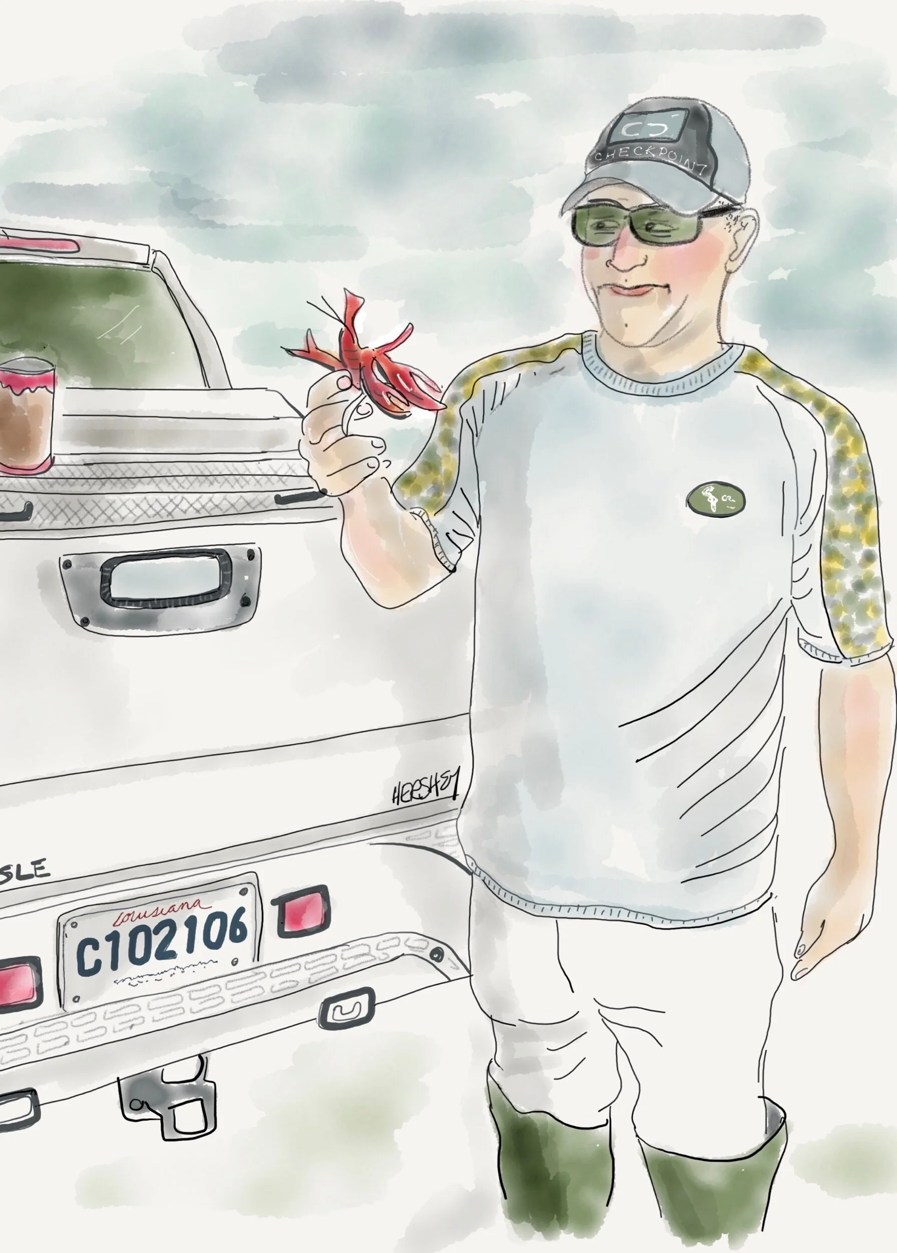
“Yes Ma’am...it’s alive. They be millions of them in pots out there in them rice fields”. Drawing by Jennifer Hershey. Follow her on Instagram at deeofo.
Welcome from Galveston, Texas, where we arrived from Louisiana by way of the coastal towns Cameron, Louisiana, and Port Arthur, Texas. Most of south central and southwestern Louisiana below the I-10 corridor from Houston to New Orleans is less than 20 feet above sea level. On both sides of the Intercoastal Waterway this land of marshy prairies, bayous, forests and intense wetlands supports many wildlife sanctuaries, cattle ranches, sugarcane and rice farms, and crawfish trapping. It was a pleasure to cycle through. People are friendly, and the inland towns are small and attractive.
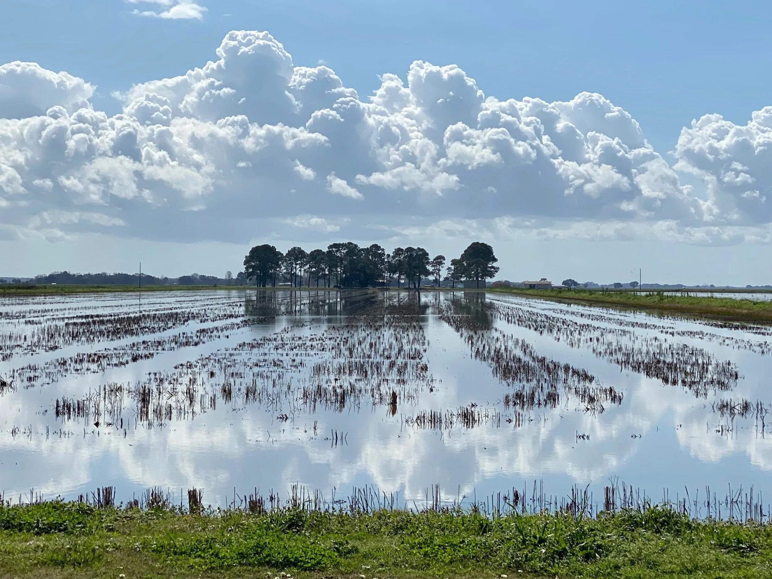
A rice field east of Lake Arthur, LA.
We had an interesting encounter with a very busy and successful woodworker named Mark near New Iberia, Louisiana, who showed us his shop, and introduced us to some of his workers. After we got settled into a motel in nearby Abbeville, he and his wife Dona picked us up and took us out for a sensational seafood dinner. We enjoyed Louisiana hospitality at its best, with good food and plenty of libation and conversation. Although we could sense we weren’t all likely to be on the same page politically (even though we shared a concern for rising sea level and the fate of the lowlands), a strong and jovial spirit of acceptance and friendship remained intact. Interestingly, the next day Mark read my recent blog post, and texted me “Great post. Observe more, judge less. Good way to live. Just remember, sometimes you have to step up to the plate”. Jenny drew his picture, and I thought about what exactly he meant.
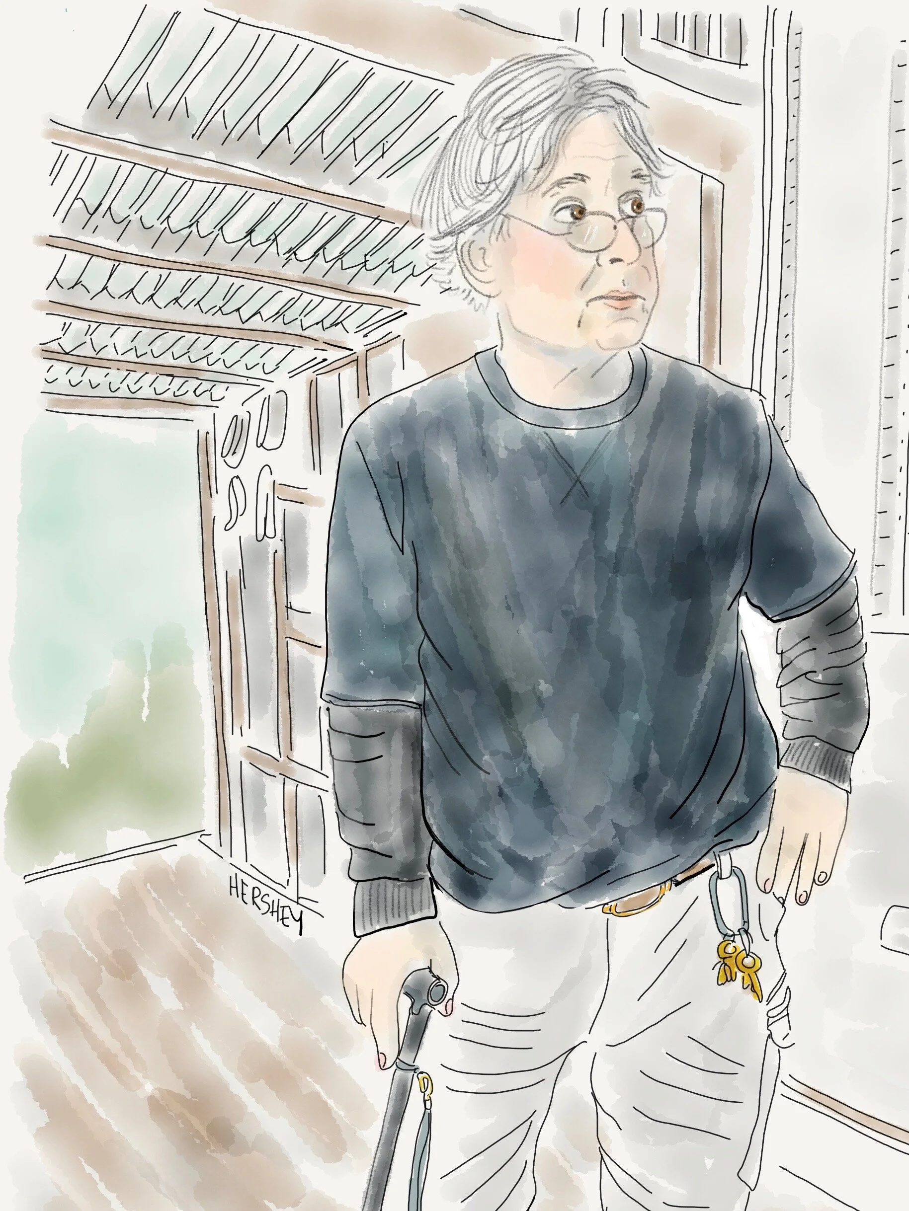
“I got three good sons in laws. I want my family to be healthy. But I worry that the land to the south of here is going to be under water”. Drawing by Jennifer Hershey. Follow her on Instagram at deeofo.
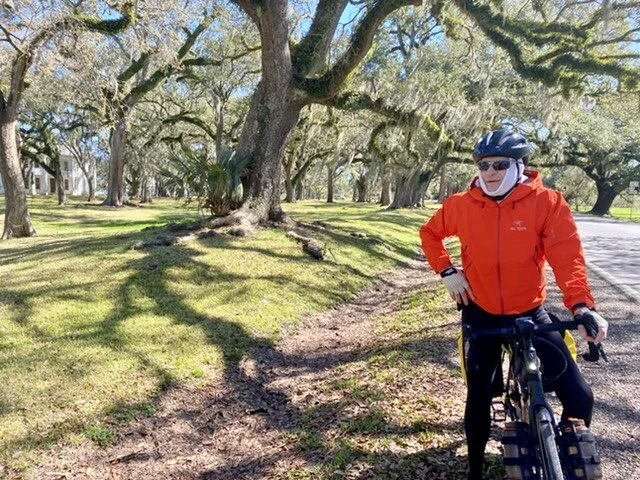
Michael biking through historic Jeanerette, LA.
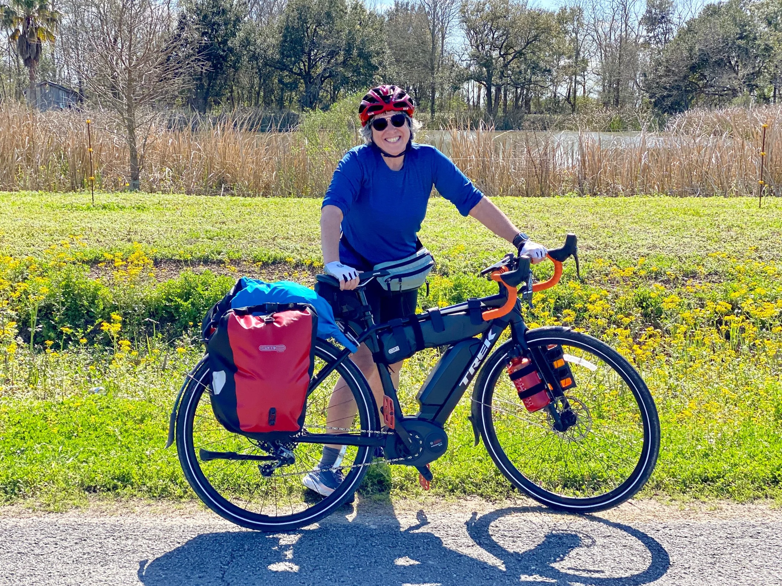
Jenny with her bike on the way to Lake Arthur, LA.
In addition to their beauty and the warmth of their inhabitants, southern Louisiana and Texas can also be disturbing places to bike through. This bucolic landscape is riddled with debris, machinery, abandoned oil wells and new fracked gas compressor stations. It’s crisscrossed by pipelines carrying oil and gas from conventional wells found underneath the marsh, and an abundance of fracked gas piped in from the north. Much of the fracked gas in western Louisiana originates from the nearby 9000 square mile Haynesville Shale, a large shale play in northwestern Louisiana.
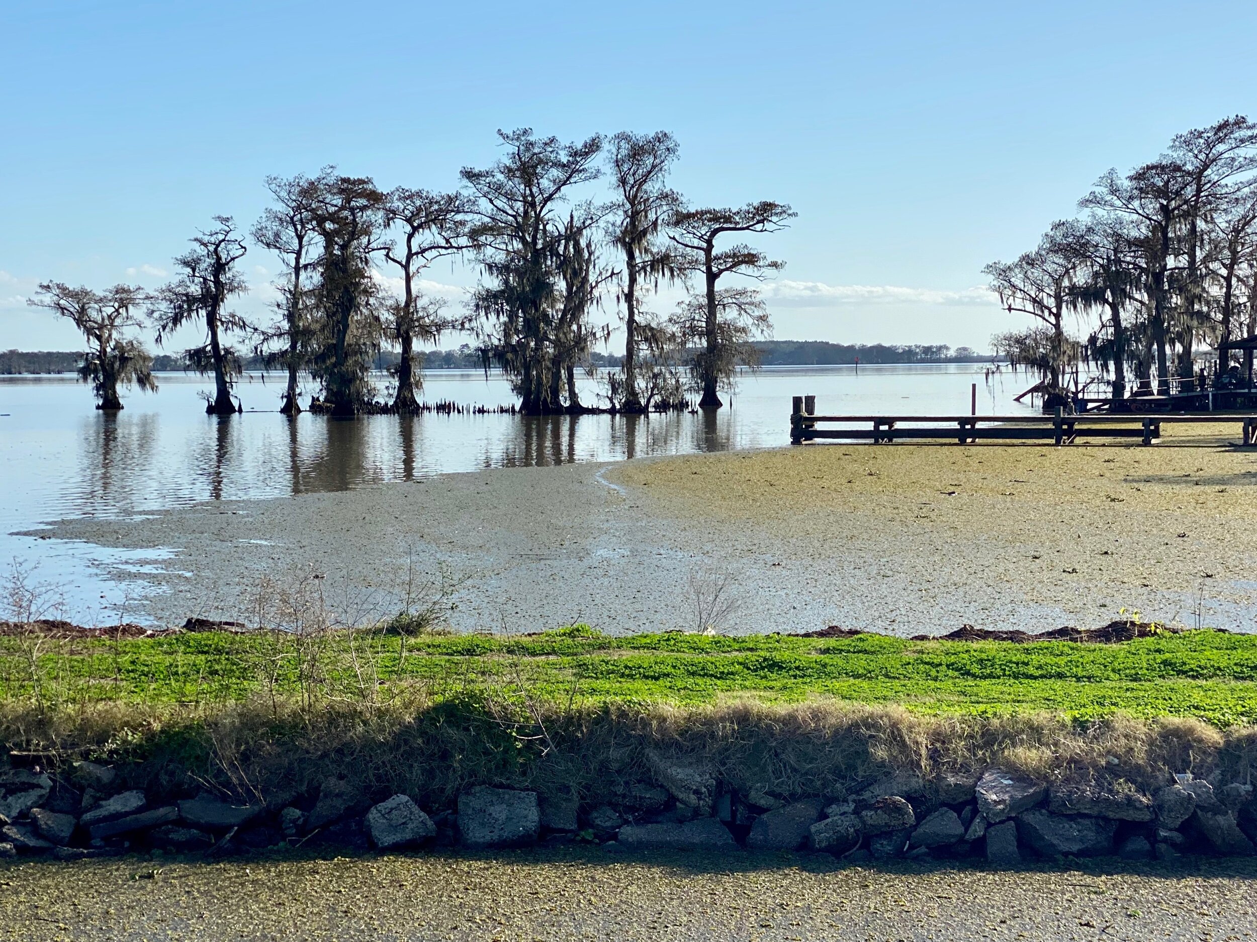
A view of Lake Arthur, LA.
Given the low elevation and the marshy characteristics of the land, it’s obvious that this area is very prone to coastal erosion, storm surges, tidal flooding, and extreme weather events such as hurricanes. A few days earlier, just west of New Orleans, we had contended with tornado warnings, which are quite unusual for the area. Locals agreed, although no one we spoke to suggested a changing climate as a possible cause.
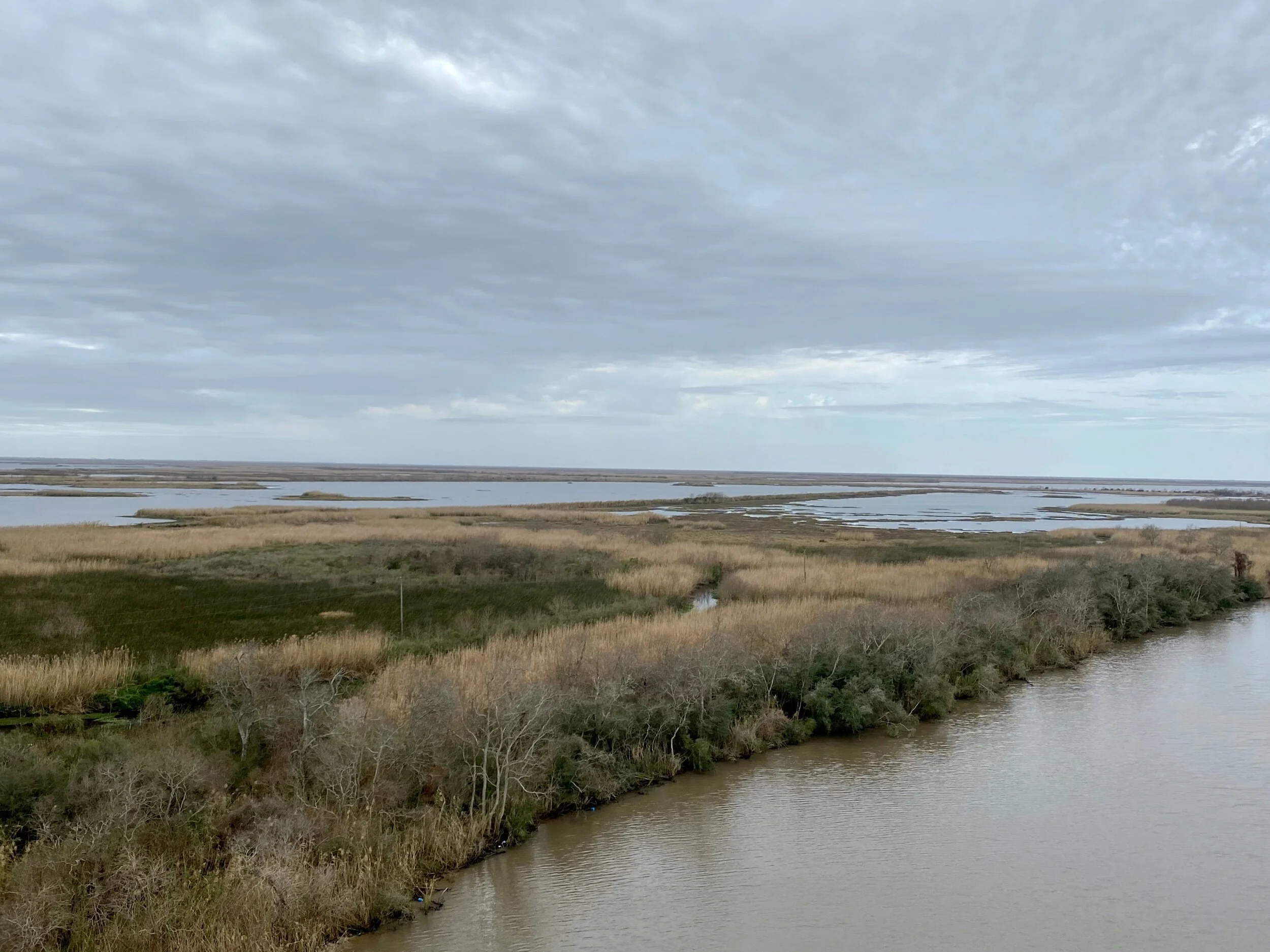
Just south of the Intercoastal Waterway on Highway 24 in southwestern Louisiana. Under these marshes lie a maze of pipelines carrying oil and gas from local deposits and the shale play in northwestern Louisiana.
The sheer vulnerability of the lowland coastal areas of the Gulf Coast seems hauntingly palpable. It’s clear to any thoughtful observer that Louisiana is deeply and complexly affected by our changing climate.
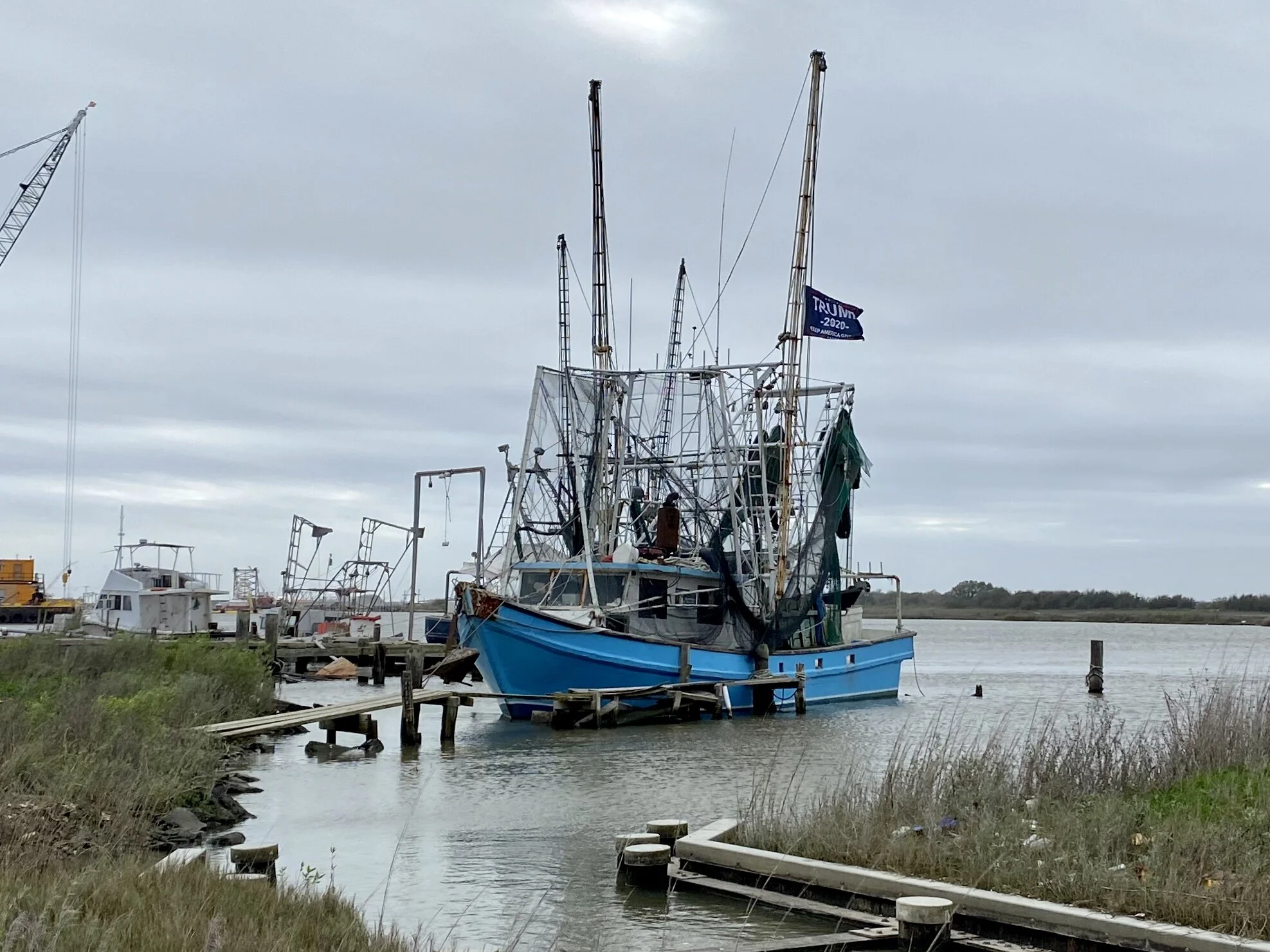
A fishing boat moored near the site of the new LNG global exporting plant at Cameron, LA. The flag on the boat says Trump/Pence 2020 . The entire port area just south of this boat (which used to be public land) is now privately owned by the company building the incoming plant. We weren’t allowed to see it.
The town of Cameron, LA, (once a bustling resort town of 3000 people that was devastated by Category 3 Hurricane Audrey about 60 years ago, and slammed again by Ike in 2008) now only has a few hundred permanent citizens. However, it is now a site for a large liquified natural gas (LNG) global exploring plant that will compete with an equally large LNG global exporting plant under construction in nearby Port Arthur, Texas. This much larger blue collar town lies just across Louisiana's southwestern border, where the Spindletop gusher was struck in 1901, setting off an oil rush that resulted in nearby Houston eclipsing Galveston as the primary port for southeastern Texas.
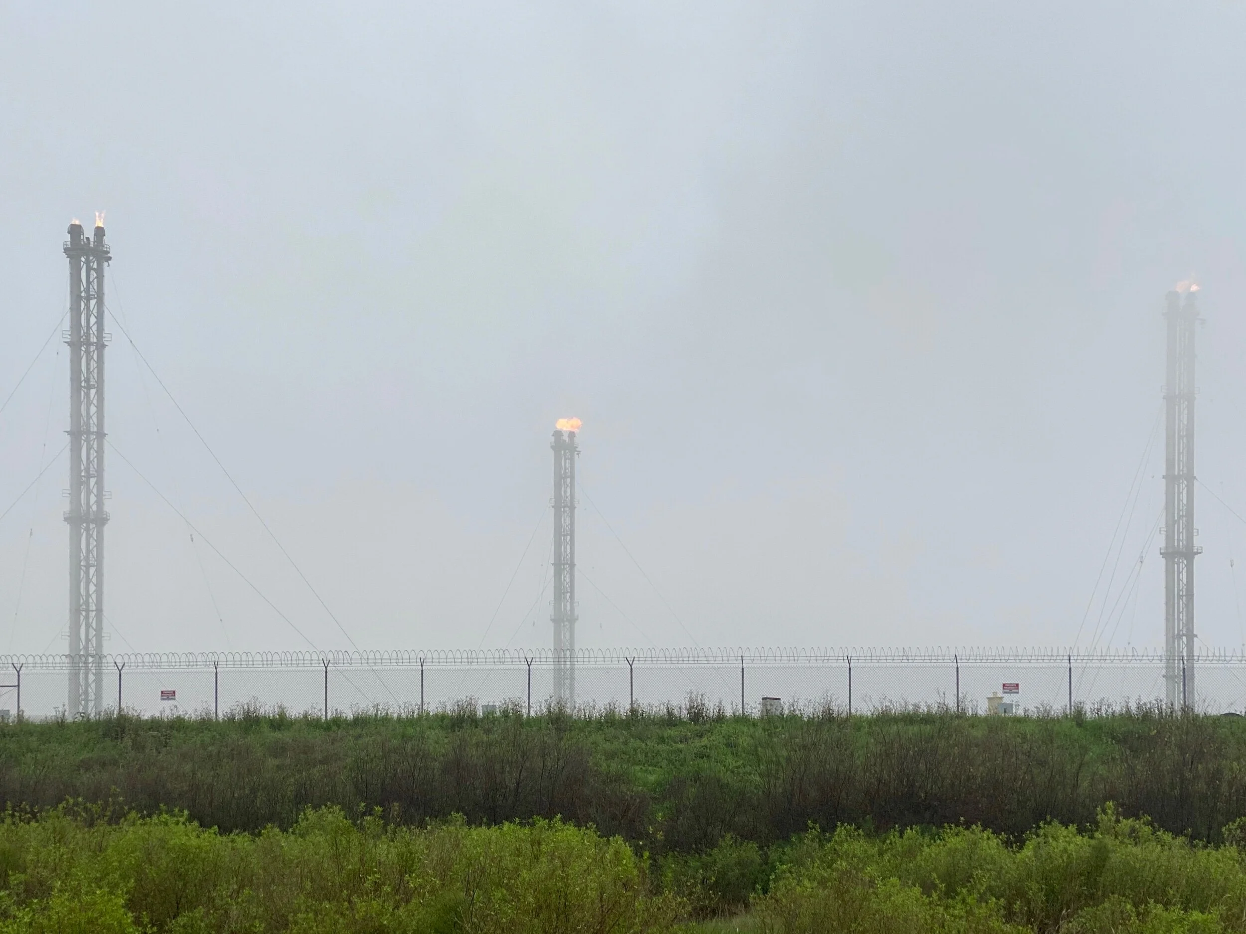
Gas flares in the marsh about a mile from the Liousiana Coast.
Each new plant currently employs about 3000 construction workers. When complete, the Cameron plant will support 160 permanent jobs, and the Port Arthur plant will support about 200 permanent jobs. That is, of course, unless a major hurricane hits this part of the Gulf Coast, in which case operations will either be temporarily or permanently interrupted.
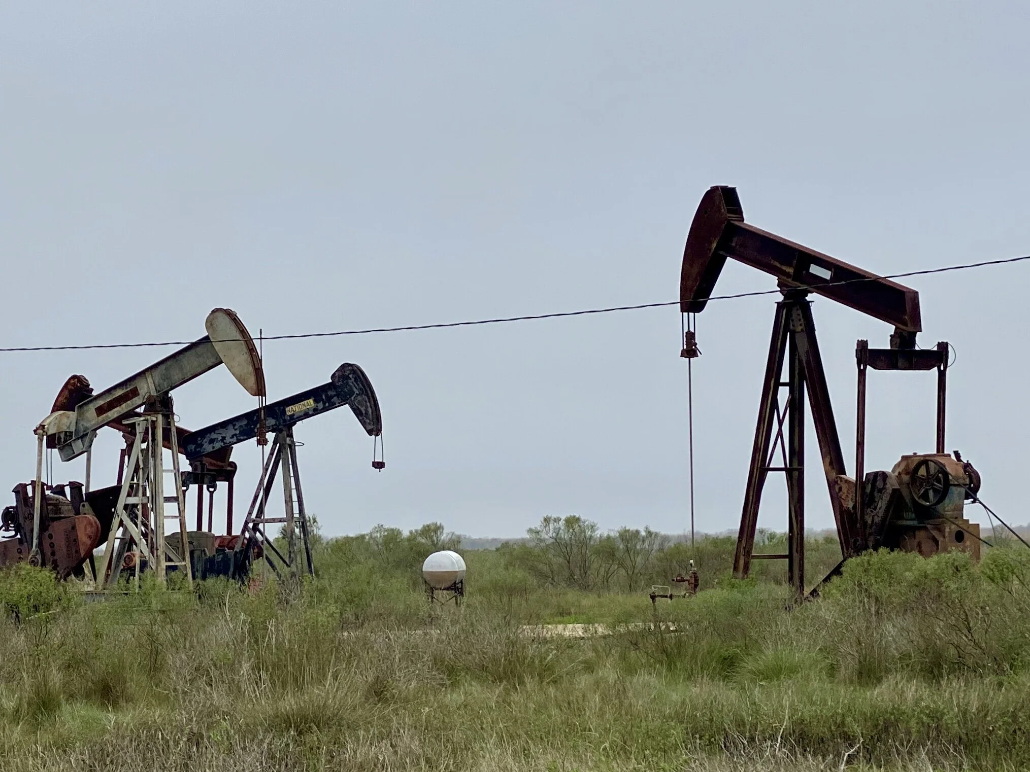
Abandoned oil wells in High Island, Texas, about a half mile from the Gulf Coast.
The reasons for this activity make economic sense in the short term. Cameron has been quite poor since Hurricane Audrey hit, and jobs are scarce. Consequently, the new plant is very popular among locals. Port Arthur is also poor, although it has more economic diversity than Cameron. However, the proximity of its site for a new receiving terminal will have additional benefit to Houston, so it’s popularity is even greater. Interestingly, in Houston, there is tacit, if not public, recognition among local officials that climate change is real. Based on a conversation we had with a local in Port Arthur, it seems there is hope that new sea walls east of Port Arthur across the Sabine River and further west across the Houston ship channel will mitigate storm surge issues for awhile, at least for southeastern Texas. …For how long, we wondered?
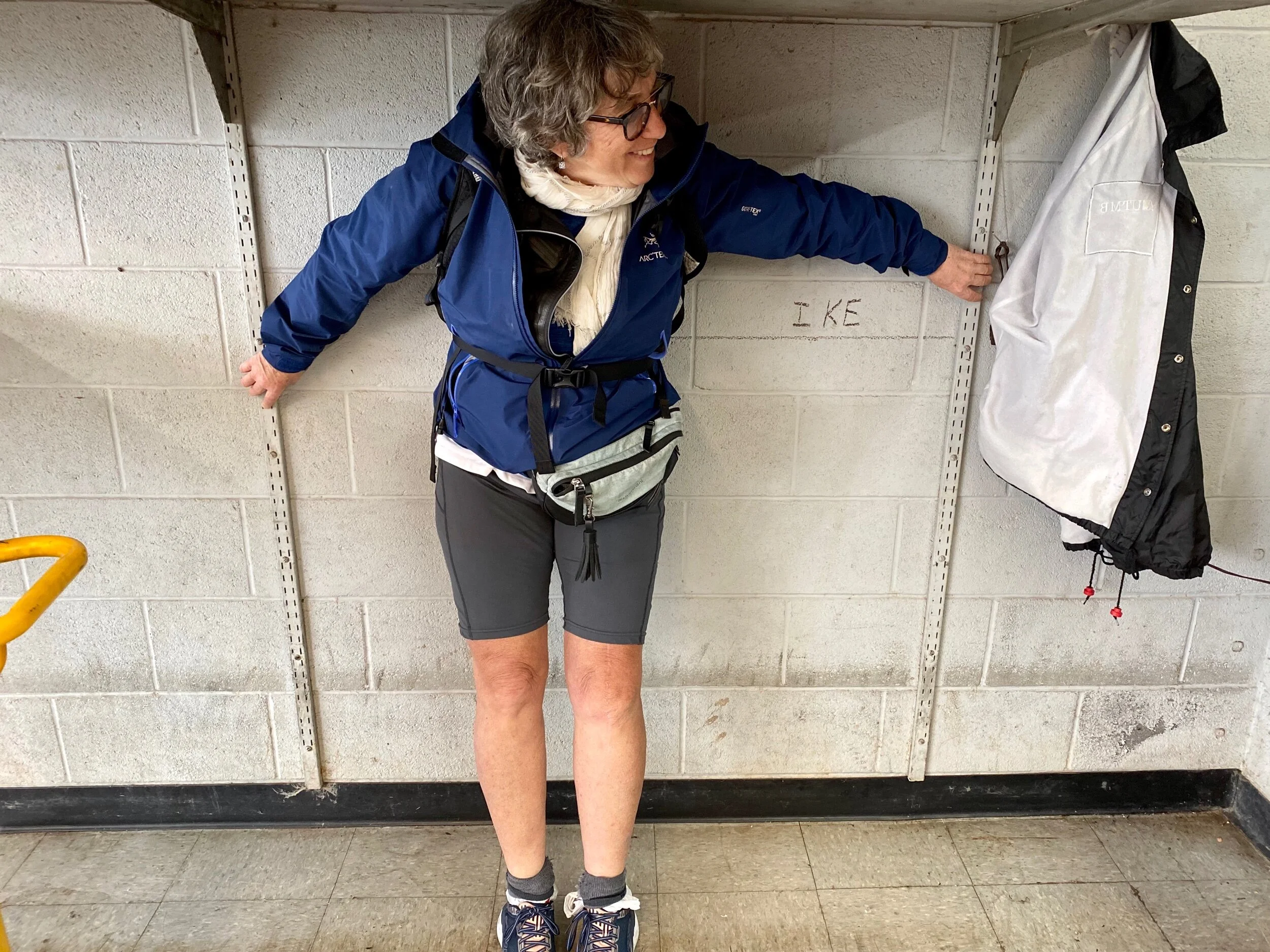
Jenny’s left arm marks the water line for Hurricane Ike in a bicycle shop we went to in Galveston. This 2008 hurricane holds the record for storm surge in Port Arthur, cresting at 22 feet.
So why do so many people in Louisiana and Texas embrace the very industry that may ultimately do them in? Isn't one definition of insanity, “doing the same thing over and over again and expecting different results?”
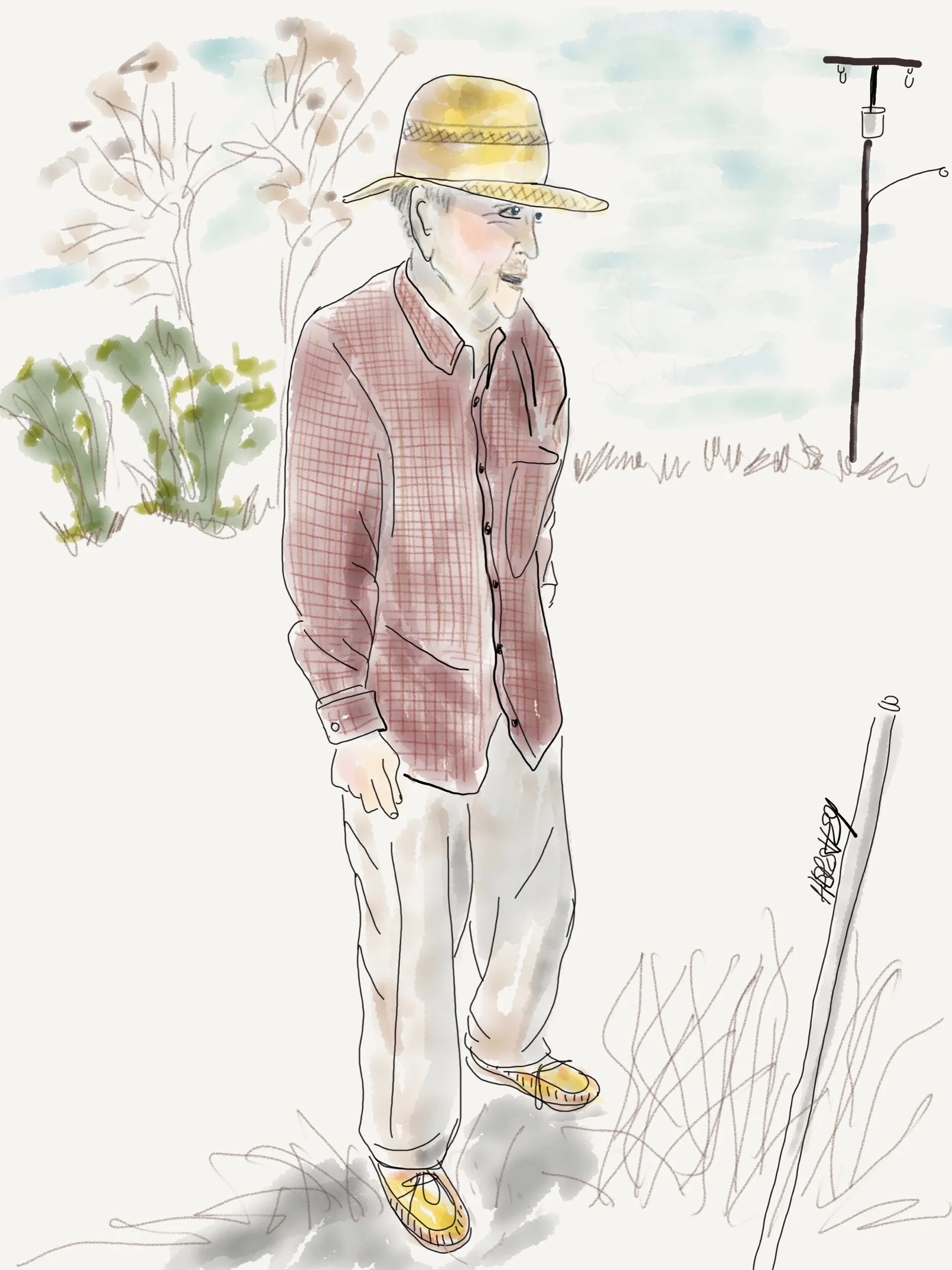
“I moved one time..in 1954...from next door to here.” Drawing by Jennifer Hershey. Follow her on Instagram at deeofo.
Jobs are important, and 460 permanent jobs might have lasting value for your communities. But at what cost? When your home is losing land to coastal erosion at alarming rates, when scientist are warning us that sea level rise is occurring faster than their previous conservative estimates indicated, when extreme weather events such as hurricanes and tornadoes are becoming more frequent with every passing year, when scientists are looking at establishing a Category 6 for hurricanes because they are growing so much more intense, …..when does that community cut its losses, and change its economic base?
Yes, life will be harder in the short term, but potentially much more livable and rewarding in the long term. Maybe that’s a plate that’s worth stepping up to…
For those of you who geek out on map routes, please email me and I will happily include links to the Garmin maps in this blog post. Frankly, I simply don’t know if they are very important to my readers. If I’m wrong, I’d love to know.
Thanks for reading! More to come…
All photos, unless credited or otherwise noted, are copyrighted property of the blog post author.
Illinois to New York City, Post 3
This short blog post features photos from the Greater Allegheny Passage (GAP) Cycling Trail in the final leg of a cycling trip from Galesburg, IL to New York City.
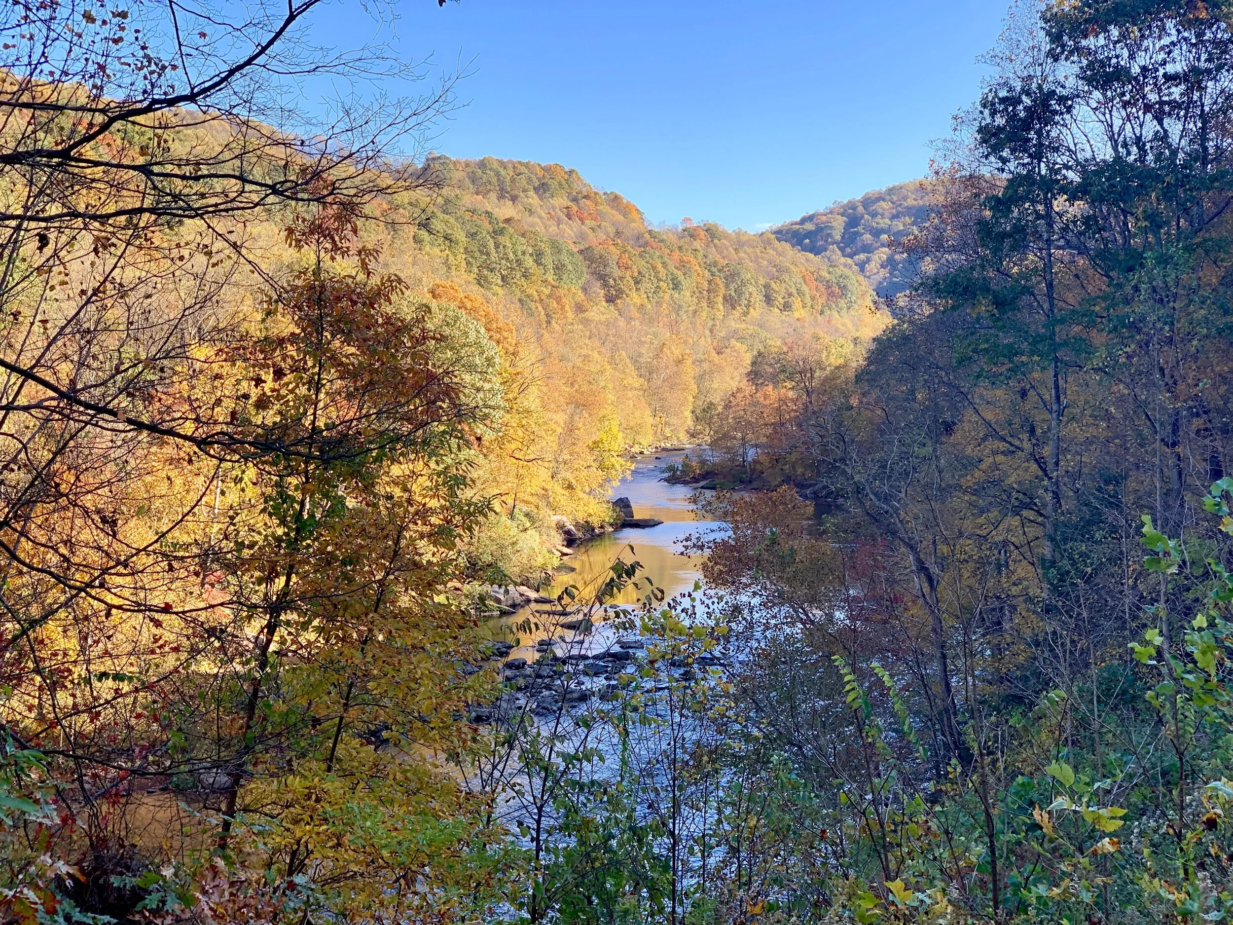
One of many views Youghiogheny River along the GAP Trail. Youghiogheny is a Lenape word meaning "a stream flowing in a contrary direction". The Yough provides the gradual ascent to the eastern Continental Divide known as the Great Allegheny Passage. It drains an area on the west side of the Allegheny Mountains northward into Pennsylvania, providing a small watershed in extreme western Maryland into the tributaries of the Mississippi River. And it's sensationally beautiful, although that wasn’t always the case.
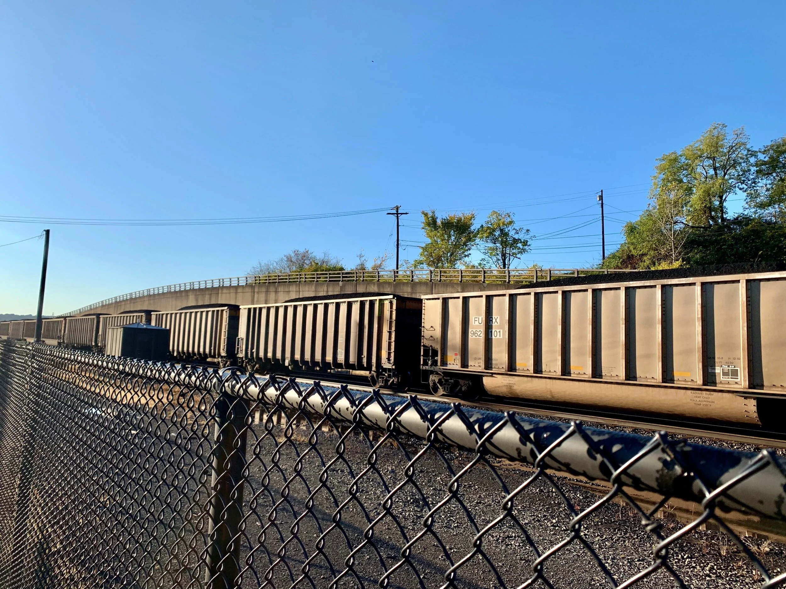
A freight train of coal (we counted 102 cars) passes by on a track that follows the Monongahela to the Ohio River. In 1990, coal-fired power plants accounted for about 52% of total electricity generation nationally. By the end of 2018, coal's share of electricity generating capacity decreased to 27% of total electricity generation.
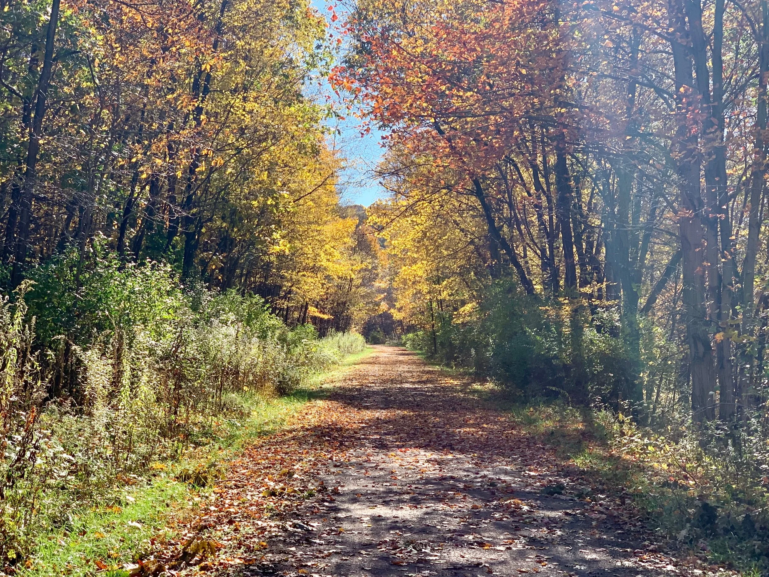
The GAP Trail is always sensational, and fall colors make it superlative.
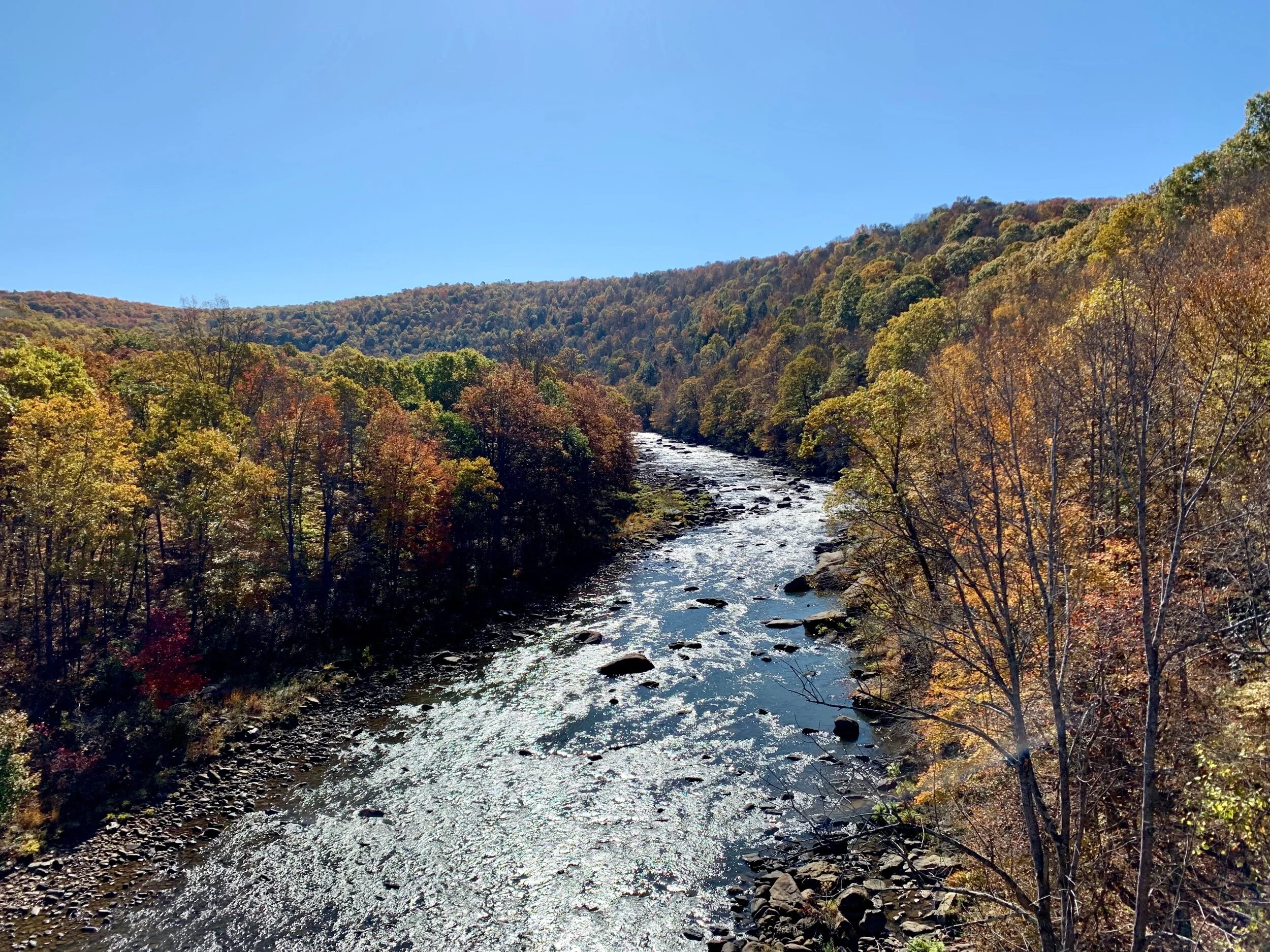
Another of many views Youghiogheny River along the GAP Trail.
The big savage tunnel is the longest of three on the GAP Trail.
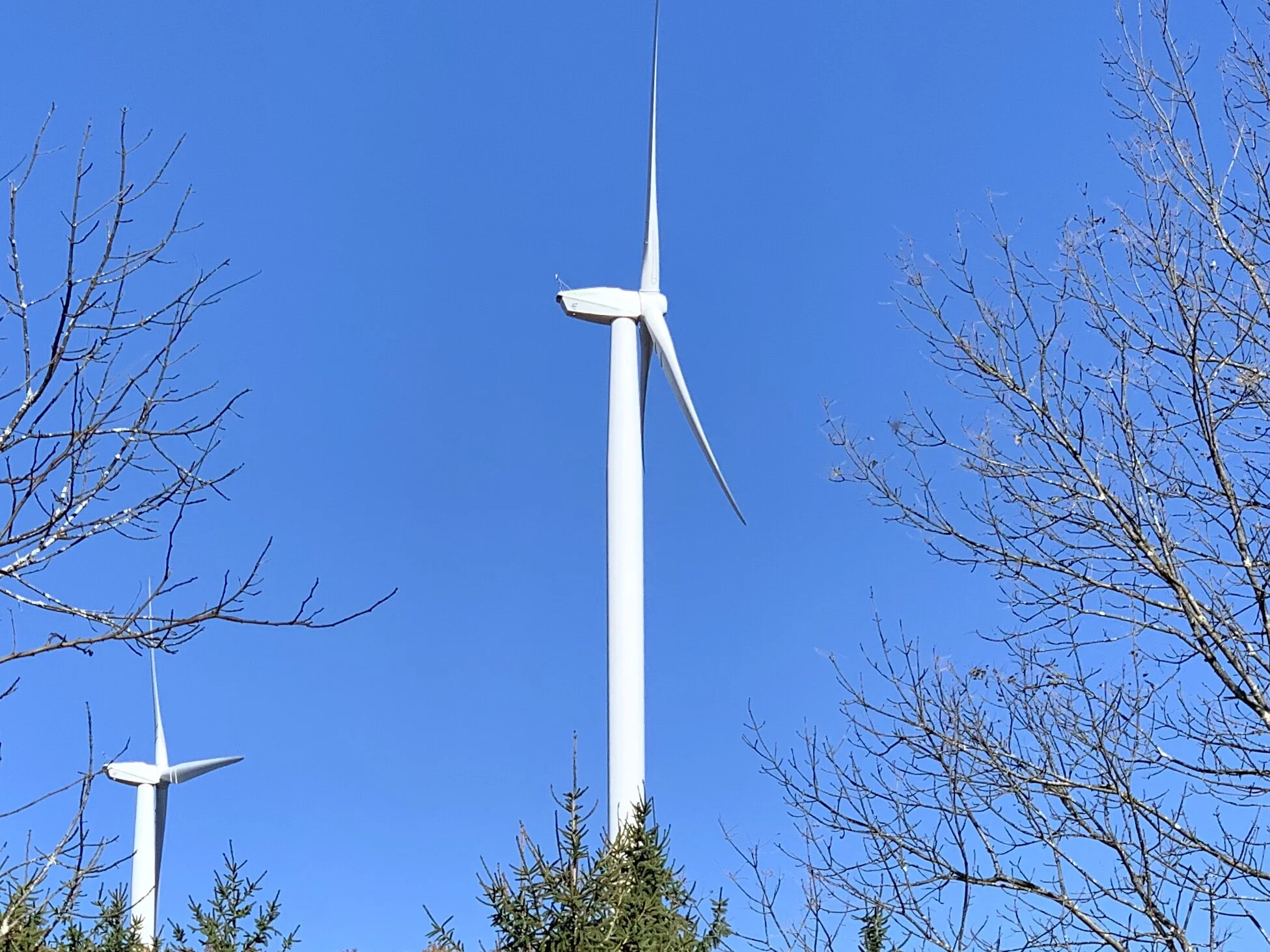
I rode the GAP Trail in 2015, and I don't remember seeing wind turbines before. I assume these have been installed recently. Because they use only a small portion of land and create no pollution and minimal noise, I find them far more attractive than oil wells or fracking pads.
The C&O Canal is full of water with algae that contains organisms that can severely lower oxygen levels in natural waters, killing marine life. Blooms can last from a few days to many months, and some are associated with toxins.
The tunnel at Pawpaw Mountain has a trail on one side and the canal on the other. It’s quite a spooky environment.
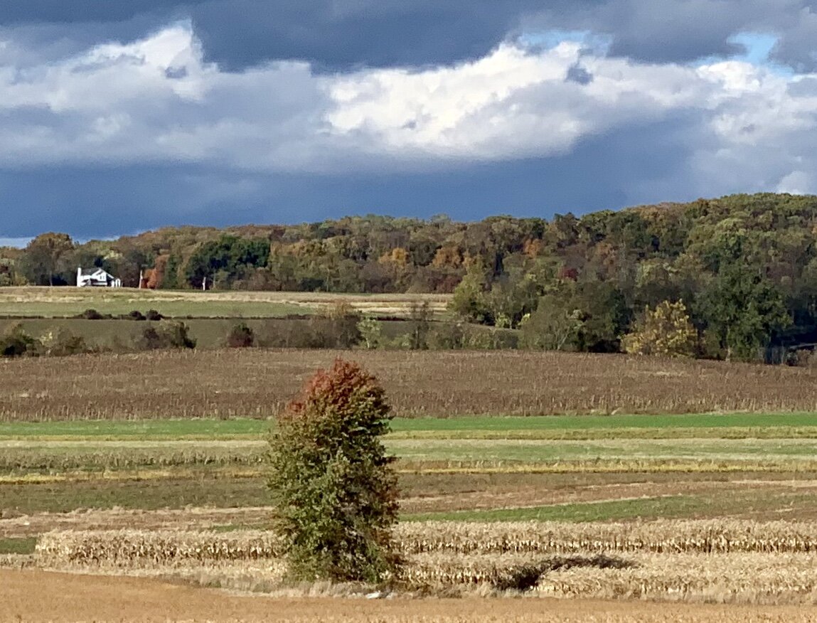
A lonely tree sits in the Conestoga Valley east of Lansing, PA. This valley is populated by Amish farmers, and is a stunning place to cycle.
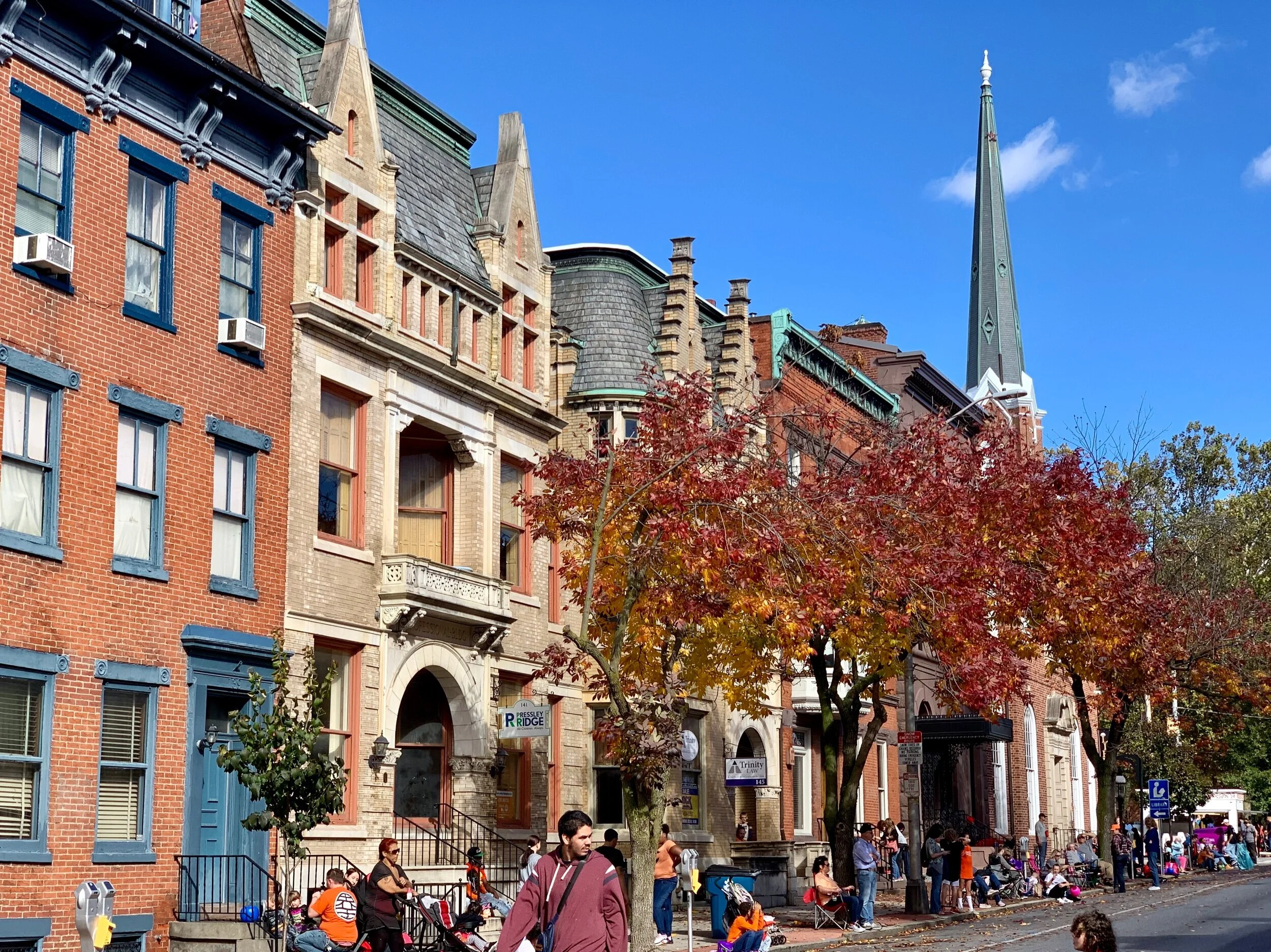
York, PA, has a current population of about 40,000, making it slightly larger than my home town of Galesburg, IL. It was obviously a wealthy and bustling town at one time; the 19th and early 20th century downtown architecture is both sensational and stately.
Illinois to New York City, Post 2
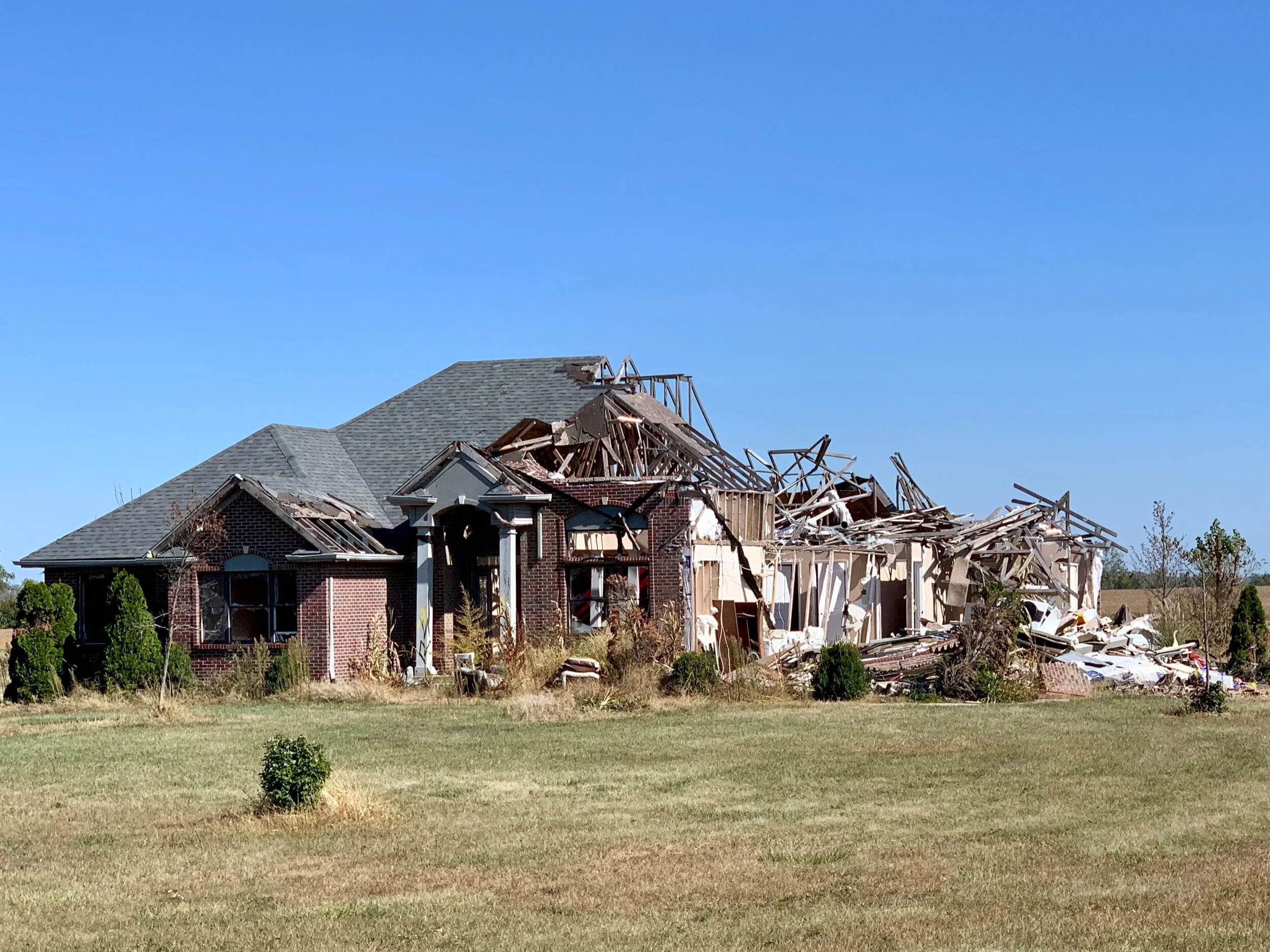
Remains of a home in Brookfield, Ohio, in a populated suburb after a tornado touched down in June of 2019. When we saw it, nearby homes were fine and people were going about their business.
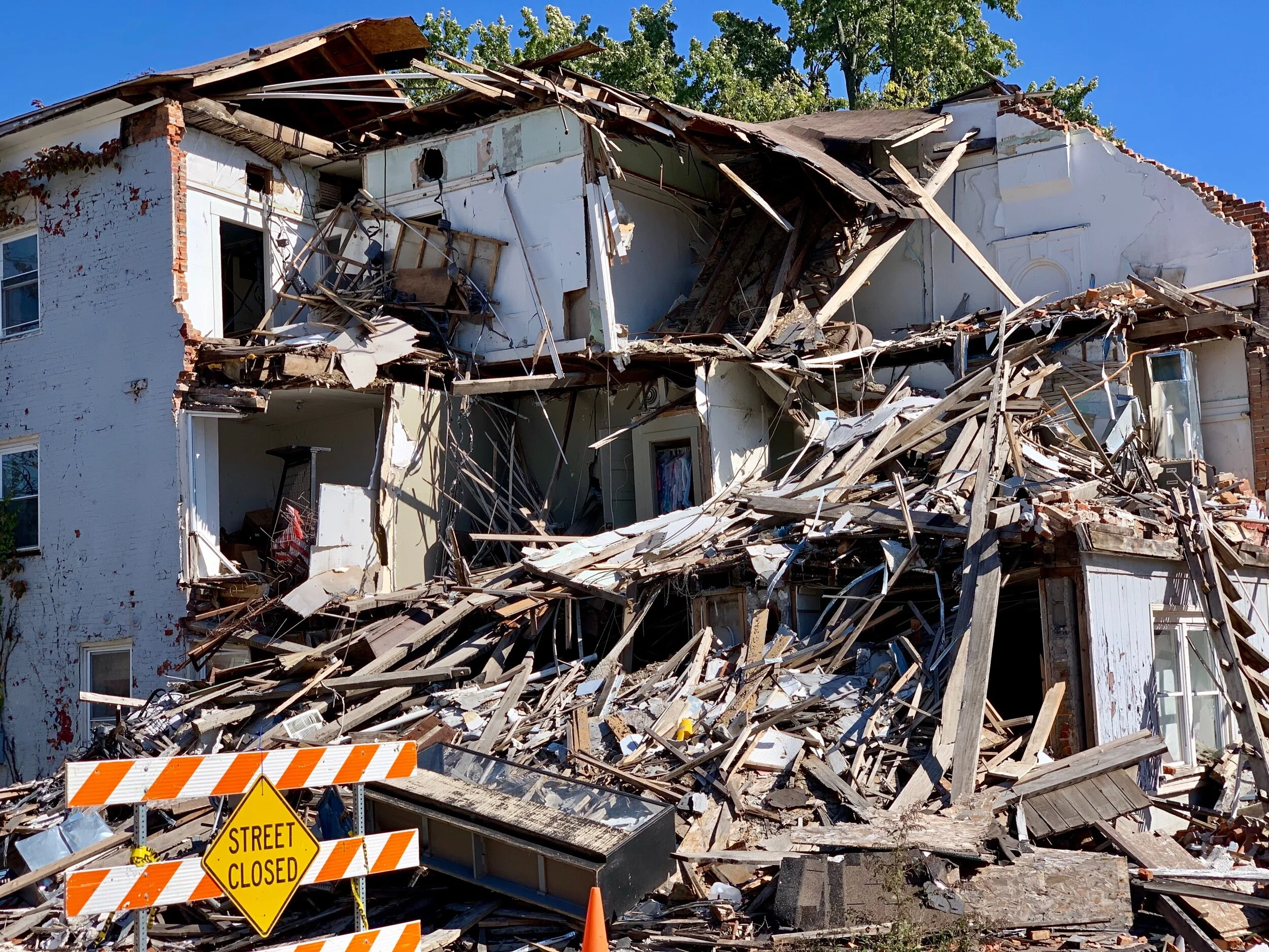
This house is on Main Street in Cambridge City, Indiana. It was intact until July of this year, when it collapsed. A local resident we talked to didn’t know why.
Hello from South Pittsburgh on the historic GAP (Greater Allegheny Passage) Trail. We biked here yesterday from Steubenville, Ohio, an old steel and coal town about 25 miles north of historic Wheeling, West Virginia. The night before we were near Morristown, Ohio, in the rolling western foothills of the Alleghenys.
Both yesterday and today we encountered numerous hills, a few with grades as steep as 15 degrees. But what goes up also comes down, so we enjoyed some great downhill runs. Although it’s grey and rainy today, the past few days have been sunny and warm, and the hill country has been spectacular.
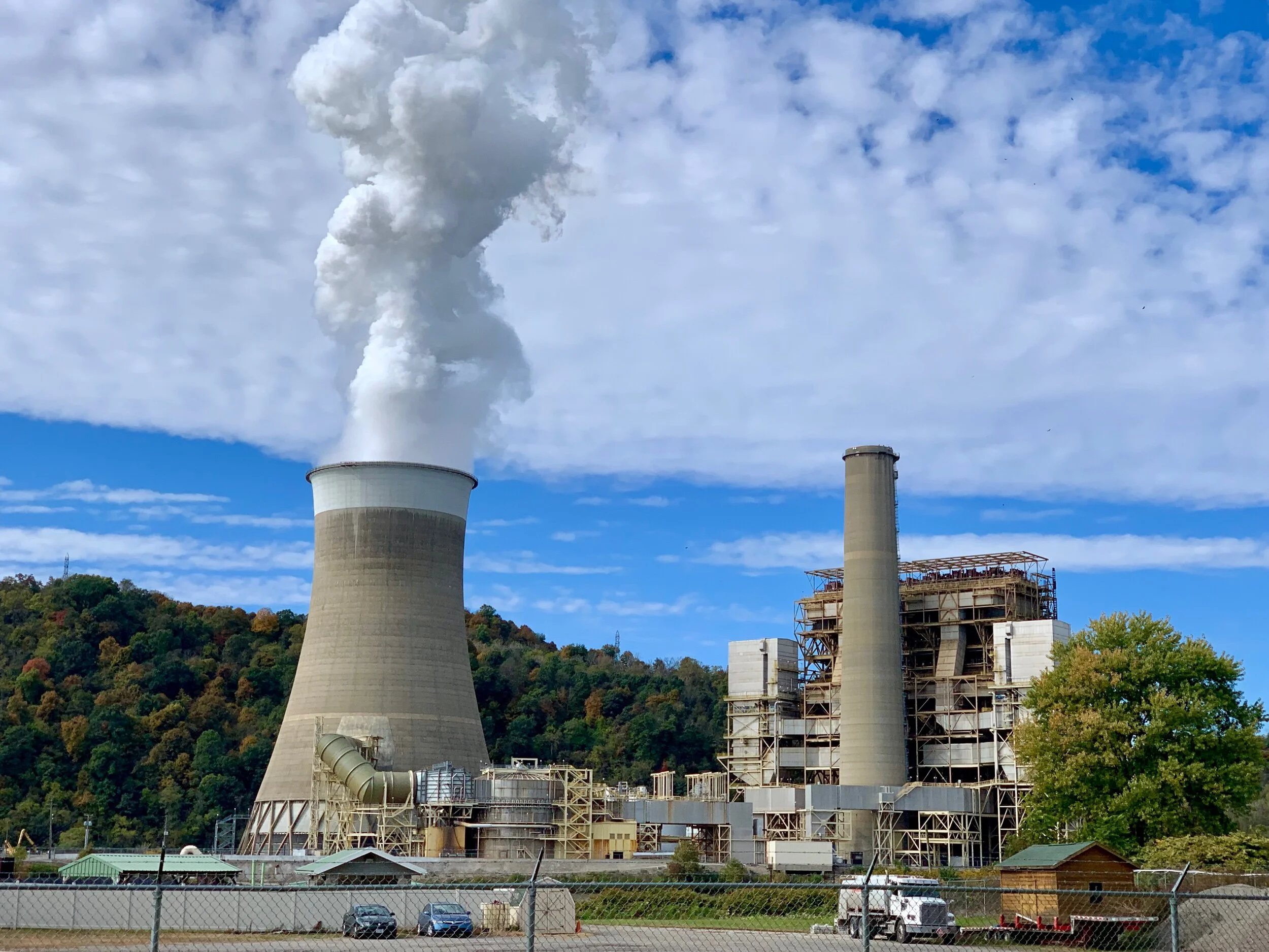
The Cardinal Operating Company, a plant north of Wheeling where coal is made into coke for steel manufacturing. In the 1990’s there were over 100,000 jobs in the steel industry in this valley; now there are about 10,000 jobs.
Fall colors on the way.
After some reflection, Jenny and I decided to take the historic GAP bike trail from Pittsburgh, PA to Cumberland, MD, and then a portion of the C&O (Chesapeake and Ohio) Trail before heading up to Lancaster, PA, on our way back to New York City. Today we are resting and waiting out a rainstorm near the western end of the trail. We chose this alternate route instead of the northern ACA Route to NYC because it is less climbing (by about 20,000 cumulative feet)! I’ve done this route before, and remember it very fondly, so I'm looking forward to sharing it with Jenny. We have currently traveled over 800 miles total, and tomorrow we will start the 150 miles that make up the GAP trail.
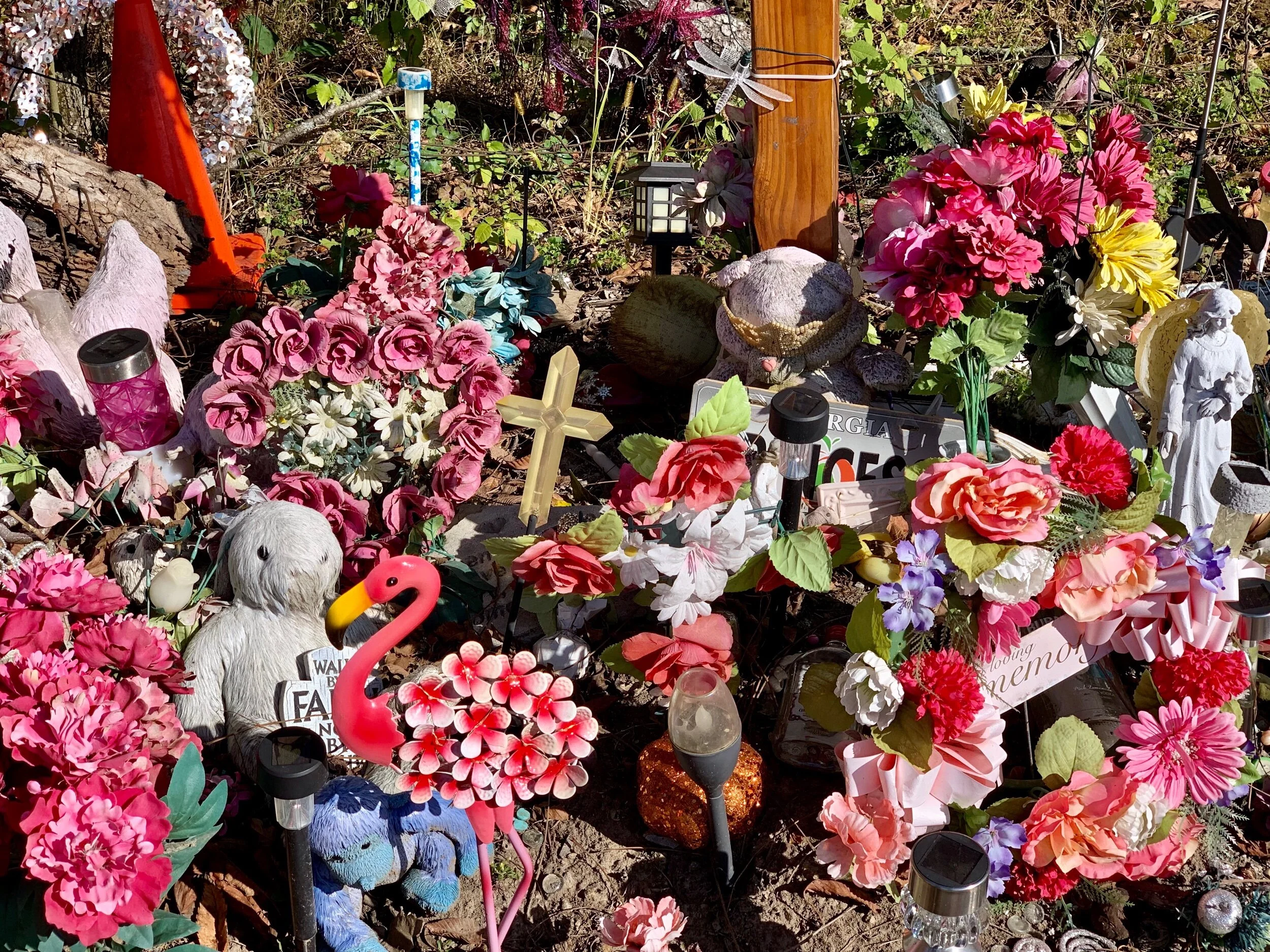
This memorial is for 16-year -old Olivia Starrwallace, who ran off the road and into a tree in eastern Indiana while driving near the National High School (which she attended).
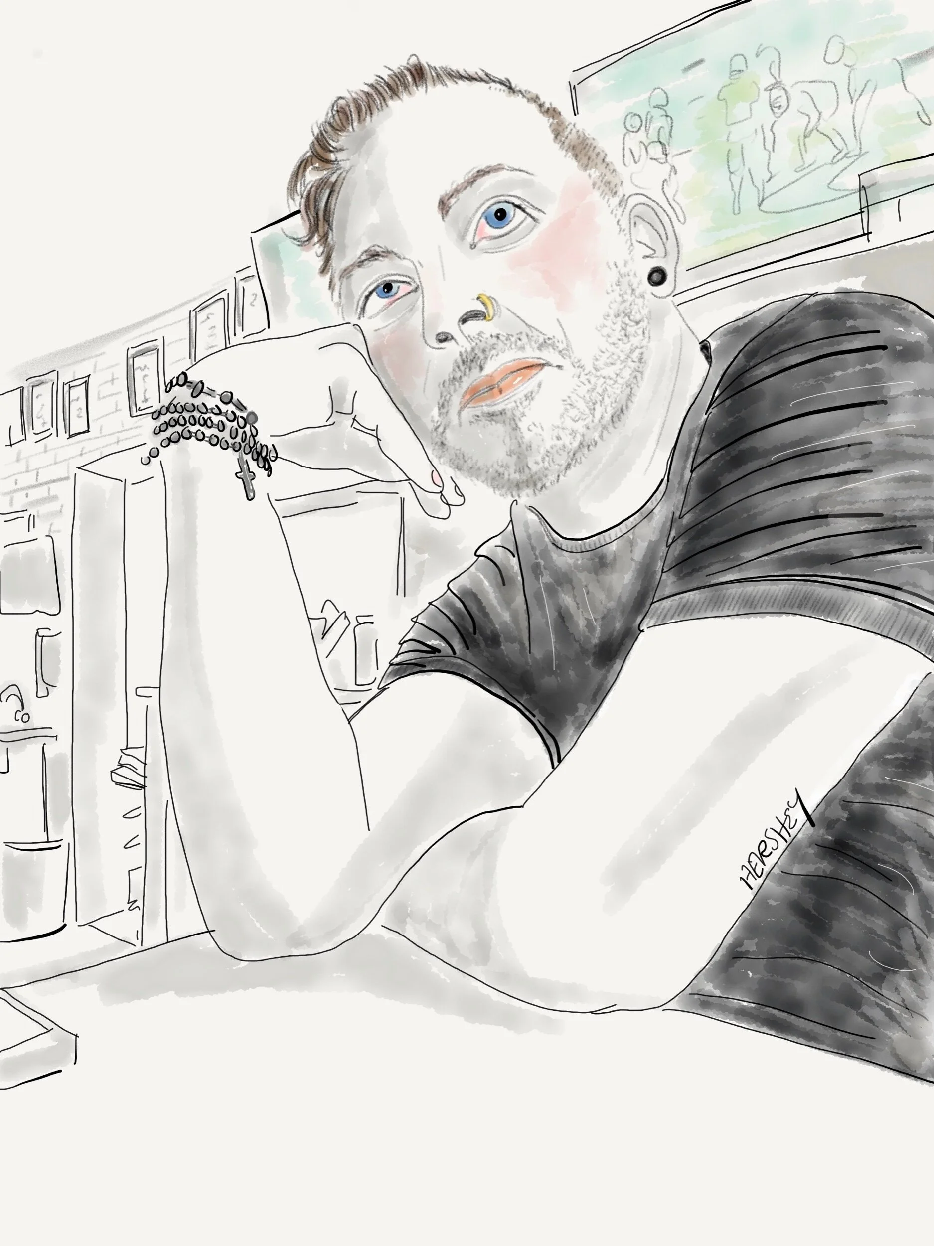
Jenny’s drawing of our bartender Dennis at the Pike 40 Bar and Grill in Morristown , Ohio. You can see more of Jennifer Hershey's work on Instagram at “deeofo”.
While such a distance is not new for me, I must compliment my biking partner Jenny. She’s never biked this far, and she has done so with great joy and resolve. She’s tackled intense hills, aggressive and threatening traffic, poor road surfaces, lousy and non-existent shoulders, cold and rain - all without losing her cool or diminishing her spirit.
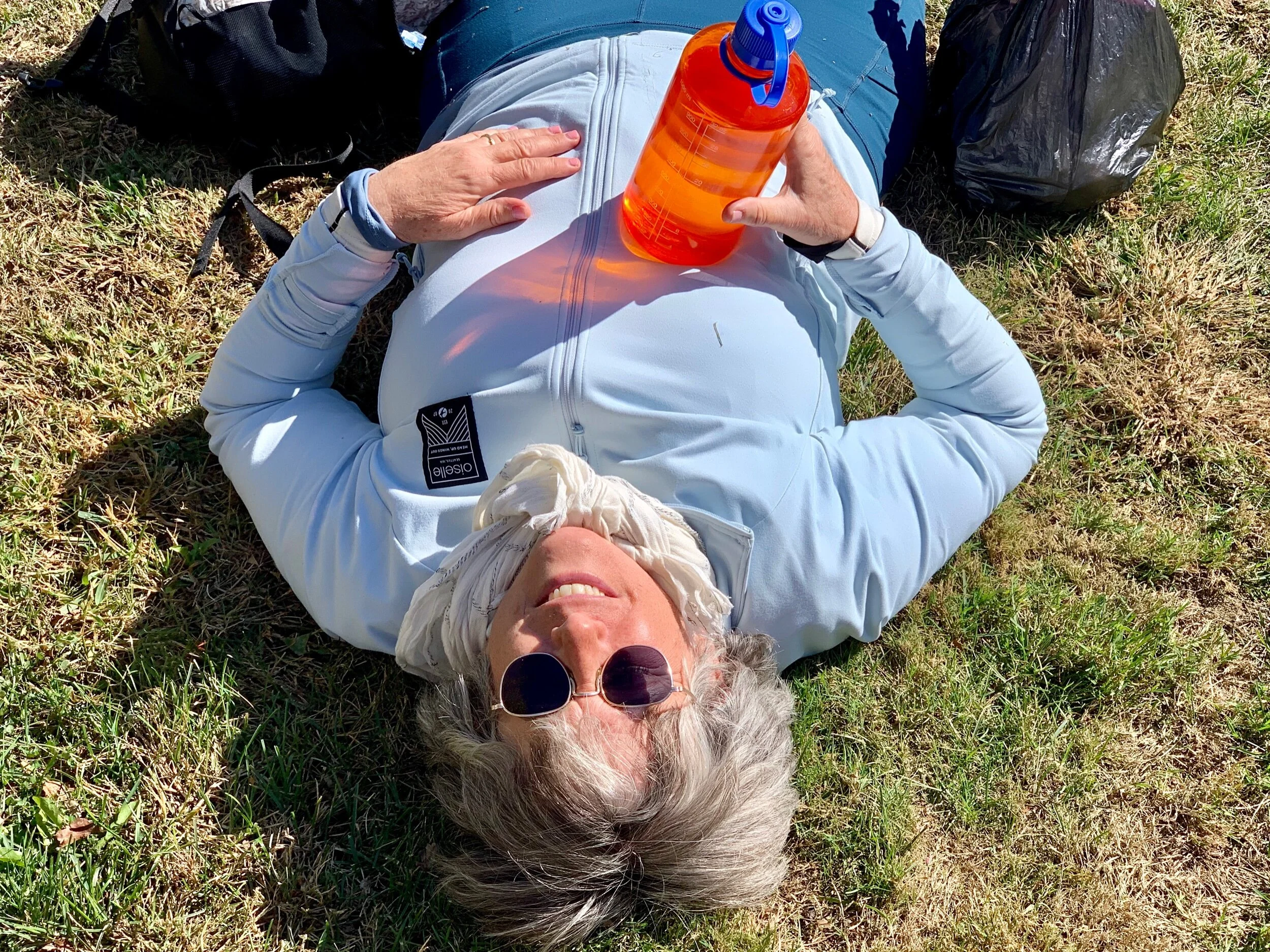
A tired cyclist rests after lunch.
Locals tell us we’re in Trump country, and we’ve definitely seen a few 2020 campaign signs. The TV is on in our motel. It’s hard to imagine the nation isn’t focused entirely on the impeachment investigation and the Turkish invasion of Syria. But frankly, those issues are not the topic of conversation in most of the places we’ve visited. The Americans we are encountering seem more focused on the basic logistics of making their daily lives work.

Earlier today I found myself wondering what the connection to the outside world was like in small midwestern communities during WWII? Was our nation so focused on winning the war and supporting our troops that you could feel history being made even in the smallest of towns? Did the overwhelming majority of citizens feel like their daily actions were contributing to the creation of a better world?
Some new driving jobs have been created in the Ohio River Valley in the last decade as fracking has expanded. That said, isn’t all traffic (except for electric vehicles powered by renewables) essentially “oil and gas traffic”?
Or did life in rural America then seem more like now, when the unrelenting noise of the outside world seems so far away? Perhaps those who had a close relative involved in the war effort felt involved, much like farm families further to the west might feel more concerned about climate change now, after experiencing several very tough years of extreme weather. Yet, I don’t know how to reconcile the sense of urgent hopefulness I felt last month in New York City as I participated in the Youth Climate March, attended numerous panels at the ever busier annual Climate Week, and followed the extraordinary appearances of Greta Thunberg at the United Nations Climate Summit. It all seemed so significant, and a signal of shifting perspectives.
But in the Ohio River Valley, there’s still plenty of pain (and anger) over decades of economic losses. Worrying about climate change almost seems like a luxury… until one thinks soberingly about an even harsher future. So, as always, lets keep our resolve to change our trajectory. The future is waiting to be invented.
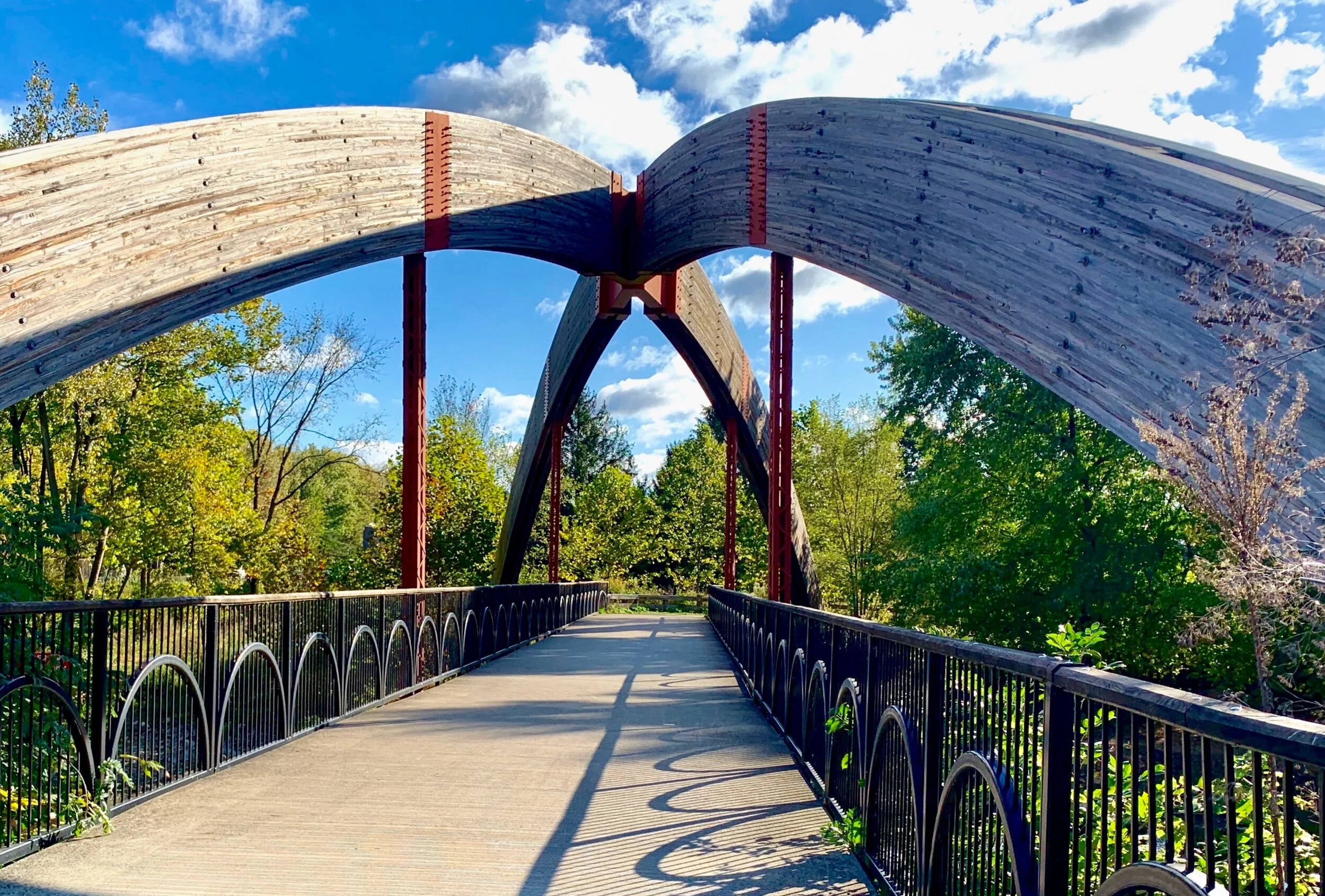
A bridge to another bike path near OSU in Columbus, Ohio.
Speaking of a bright side, we have encountered many long, beautiful and very well maintained cycling trails. About 20 miles west of Dayton, Ohio, we picked up a rural “Rail to Trail” cycling trail, and with a few exceptions of unfinished sections, followed the trail until we left Columbus, about 90 miles later.
The Olentangy River Trail makes its way through much of Columbus, including this lovely park.
This was a remarkable and incredibly pleasant run. We encountered another long section of cycling trail later the same day from Granville past Newark, Ohio, making our total run on trails well over 120 miles. Then, we enjoyed another 20 miles of trail along the scenic Ohio River out of Wheeling, West Virginia, as we headed north to Steubenville, Ohio.
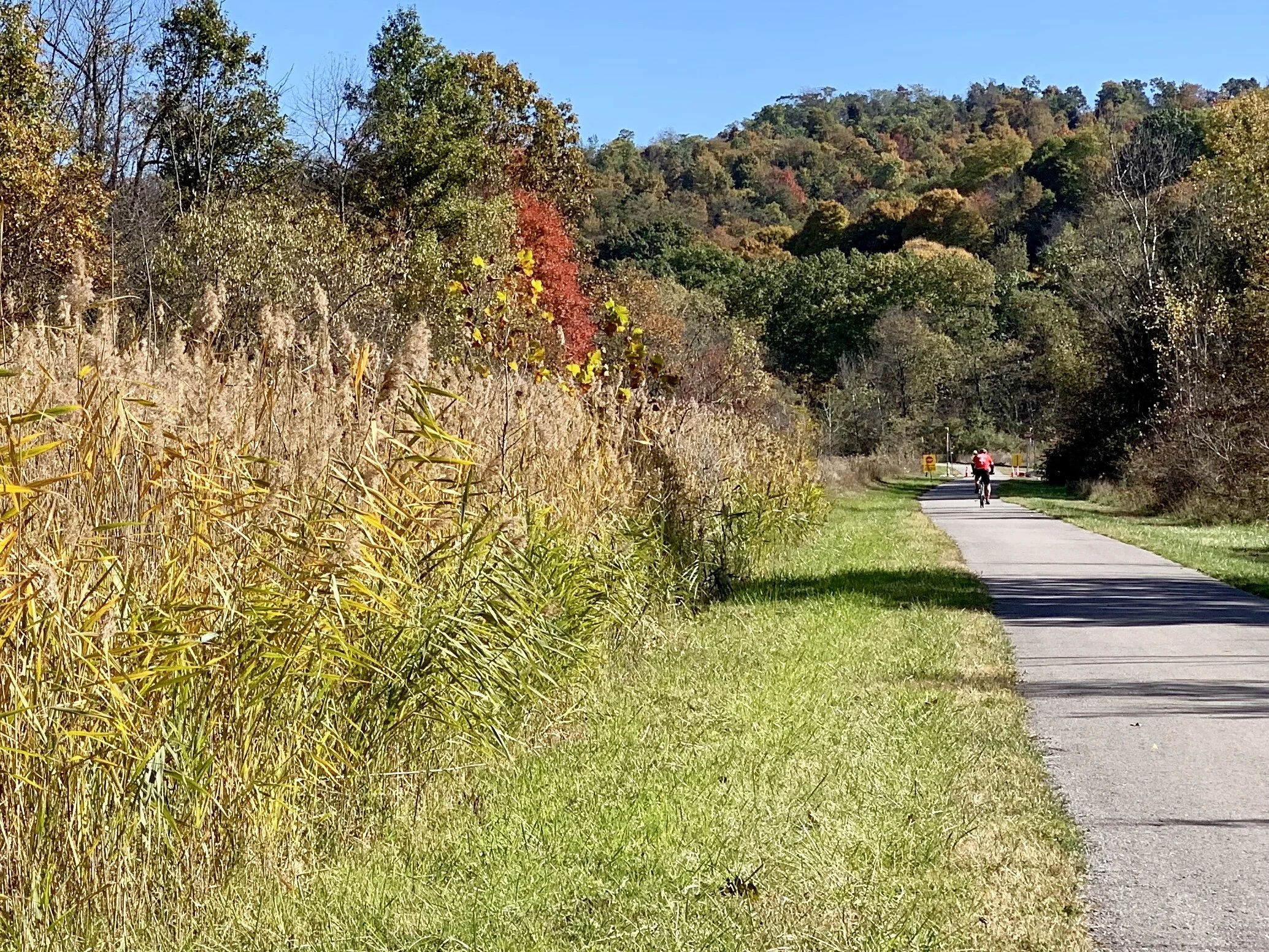
Finally, we rode the Panhandle Trail most of the way into Pittsburgh, capping off a series of great trails through much of central and eastern Ohio.
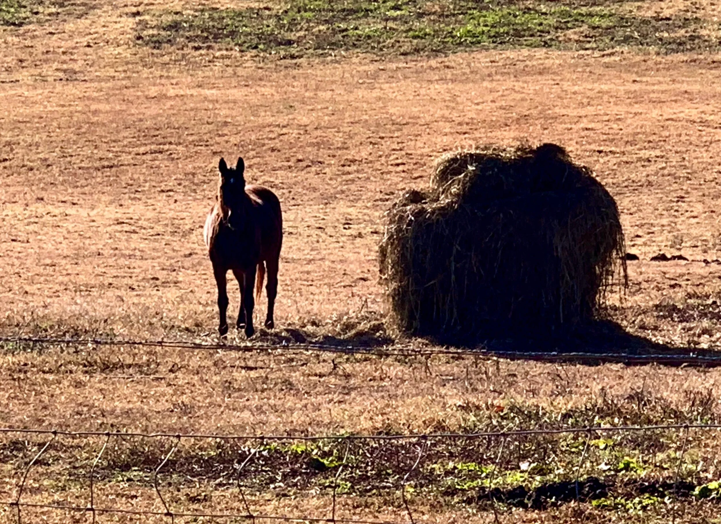
So we are happy and content, and looking forward to another stretch of dry weather once the current storm passes over. The GAP trail awaits!
Thanks for reading! More to come…
All photos, unless credited or otherwise noted, are copyrighted property of the blog post author.
Phoenix to El Paso, ...no, Tucson, Post 3
Twilight behind a sugaro cactus in Tucson.
After a one day layover in Portal, AZ, where I hiked near Cave Creek Canyon, I woke to a very cold day. The wind was clocking about 24 miles an hour out of the southeast, so I decided to head northeast to Silver City, NM, thinking that I would then zag southeast the next day to Columbus NM, and then make my way eastward into El Paso.
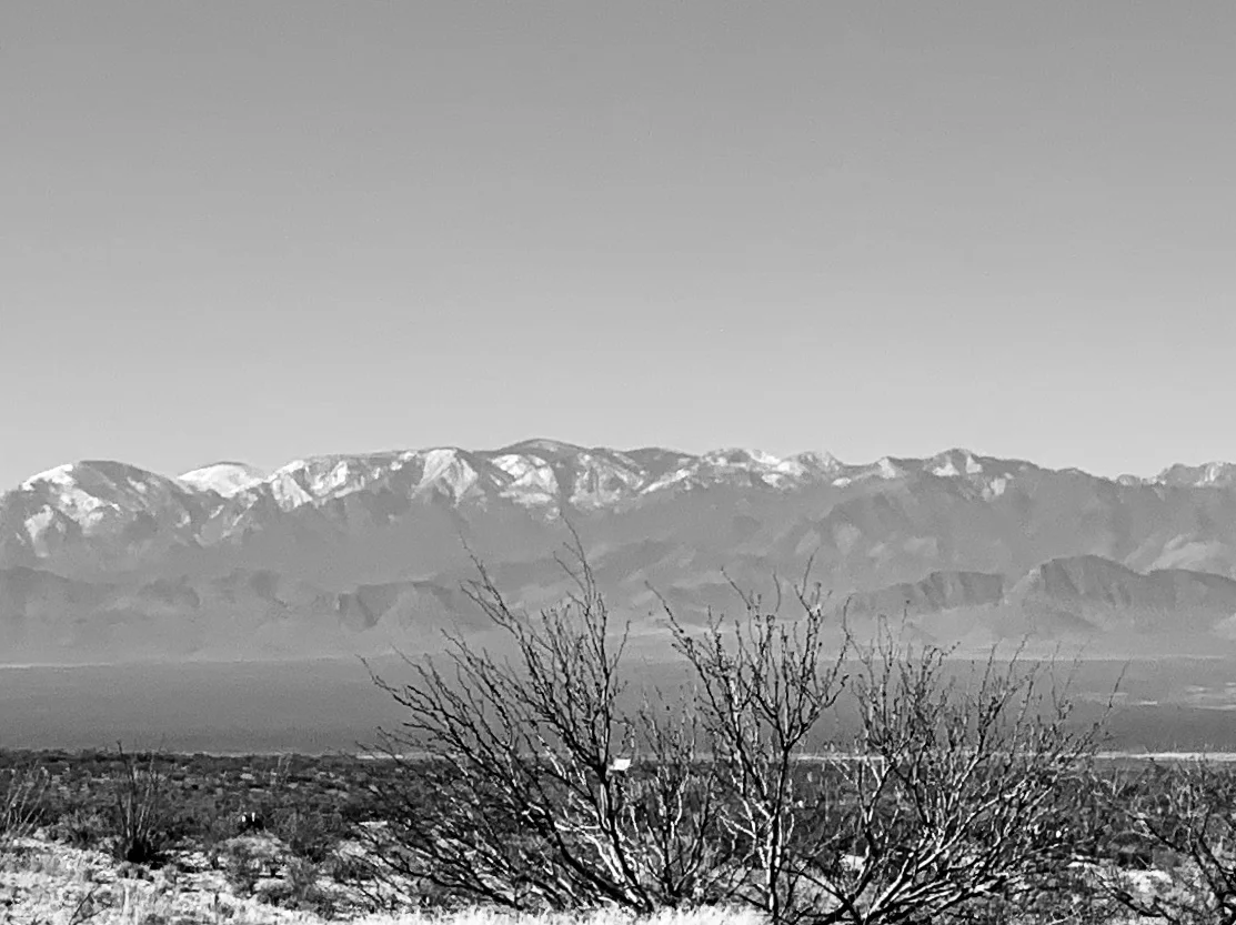
The Chiricahua Mountains on the way to Lordsburg.
Life has a funny way of making us change our plans. The wind shifted to the east. Rain clouds gathered. The temperature dropped. After a very difficult slog of a ride directly into a punishing wind, I arrived in Lordsburg about 45 miles away from Silver City. I wasn't sure what the weather was up to, but I was worried. I found an inexpensive motel and downloaded another wind app for my cell phone, hoping it would give me better capacity to analyze and predict what the next few days were going to be like. I knew there was a raging storm in the Midwest (the Nebraska bomb cyclone) and I assumed its outer edges were the cause of the wind and cold weather coming out of Texas. So I sat in my motel room, finally warm again, thinking about what to do. Near as I could determine the winds were going to remain out of the east/southeast at approximately 15 mph for the next 4-5 days. Additionally, rain and some snow were forecast for the entire region for the next few days. I knew I could make it to El Paso one way or the other as planned, and I also knew the trip was likely to be difficult and miserable.
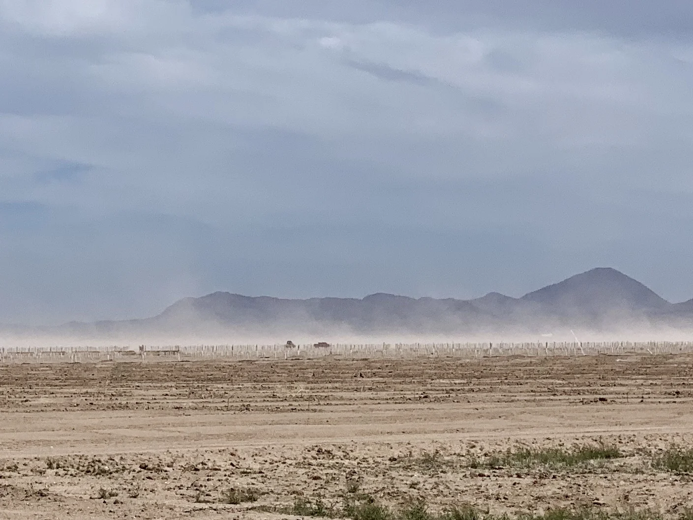
The wind stirs up dust on the way to Lordsburg.
I called my Dad in California, and my Mom in Illinois. I also called my kids. That might seem like a strange comment coming from a grown man in his 60's, But for those of you tracking older parents and grandkids, you'll recognize the behavior. I wanted to be certain my eastward direction under such conditions didn't make it difficult to get to either parent should the need arise. And I wanted to know if changing my itinerary and visiting my kids and grandkids a month or so later than previously planned would be ok.
I was improvising based on weather, just as humans have done for thousands of years. That is, before we insulated ourselves from it through our technology. Yet, our very attempts to tame it have only made it more foreboding. As the recent bomb cyclone in Nebraska - and the even more devastating cyclone in southeastern Africa - remind us, the weather will always humble us. We can't defy physics.
After discussions with various family members, I decided to return to Tucson where the weather was milder, and catch a train up to San Jose to my Dad's place. Right now I'm sitting in a lovely Landmarked train station in Tucson. I travel tonight on the Sunset Limited and will arrive into LA the morning in time to catch the Coast Starlight up to San Jose tomorrow. As usual, I will roll my bike up to the baggage car. For only $20 more a ticket there's no better way to get a bicycle somewhere (other than riding it, of course).
One of my intentions, for now, is to avoid an effigy in my honor. I came across this one on "A" Mountain east of Tucson.
Seen in western NM.
Seen in eastern Arizona.
Seen near Douglas, AZ
The new plan made me breathe easier, and sleep a bit more deeply. That said, I'm sorry to have missed exploring route 9 and the towns of Columbus, NM, where Pancho Via "invaded" the US at the battle of Columbus in 1917, and Antelope Wells, NM - which I am told is a hot spot for Border Patrol action. I'll be back.
The border near Nogales, AZ. Photo credited to USA Today.
I can't say that I've seen much near the border that suggests we have a crisis of "invasion". Where I've been it seems quiet, "normal" and only subtly militarized. As per the pictures I've already posted, the fences are ugly and the concertina wire is threatening. I've been reading an interesting book titled "Storming the Wall; Climate Change, Migration and Homeland Security" by Todd Martin. If the numbers of illegal immigrants on our southern border are actually increasing (recent reports suggest that is true) they are mostly immigrants from Guatemala, El Salvadore and Honduras. And, according to Todd Martin, these countries are experiencing devastating drought, and are climate refugee "canaries in the mine" for what lies ahead.
Apparently, migrants from these countries turn themselves into Border Patrol at their soonest opportunity with the intention of applying for asylum. Most are farmers who are no longer able to survive on their land. If they flee to nearby cities, they and their families are subject to horrific gang violence. So they come north, hoping they can gain asylum in the United States. If there is a crisis, it's a humanitarian one, and one that a wall might even exacerbate. Here's an article in "Scientific American" that explains the underlying issue more deeply.
One of hundreds of checkpoints on a north/south road just south of Interstate 10. They are intended to keep migrants from gaining access to our interstate system. I've passed through several. Each time I've asked the agents if it was busy that day, and each time the answer was no.
Fields of daisies are common here this time of year.
A view to the south about 50 miles east of Tucson.
A rattlesnake seen on a bike trail near Tucson. As it gets hotter, they get more active.
Next week I fly back to New York. It will be another month or so before I start my next cycling adventure, so you'll notice a lag in my blog posts. But, as always, there's more to come.
All photos, unless credited or otherwise noted, are copyrighted property of the blog post author.
Palo Alto to Tucson, Post 2
The Los Angeles River Cycleway.
Once I got to Ventura from Santa Barbara, I called my old childhood friend Debra Dralle in Woodland Hills in north LA. I was in luck. I had stayed with Debra on my GRID trip two years back, so she and her husband Richard weren't surprised to see me arrive the next day on a fully loaded bike. Getting to Woodland Hills from Ventura presented a small challenge - such as the Santa Monica Mountains. It was raining, and I was challenged by the climbing, so I didn't notice the clues I was passing through the Woolsey Fire area. Fast moving and capricious, that fire was one of many that has turned life on its head. Much has been written about the intensifying and record breaking fire seasons in the American and Canadians wests. Here's one example. Of course, climate scientists tell us this is only the beginning. Record droughts, warmer temperatures, longer fire seasons, and encroaching development are the new normal, which isn't going to be normal at all. There's no normalizing the future when it comes to climate.
A saloon and hotel?
A storage room?
Fortunately, I had a chance to rectify my poor observations the next day when Debra drove me back to the Paramount Ranch, which - sadly - had burned to the ground in November of 2018. As we drove, I asked Debra if she knew of climate deniers living in the area. She said no; in fact, her view is that southern Californians are united around climate change - the fires of the past several years have diminished any doubts.
A large burnt out camper van sits by a highway near Delta, Ca. The Woolsey and the Delta fires took place in September and November, 2018, respectively.
Today I read a comment by Tom Di Liberto, a scientist who worked on a well publicized Ocean Warming Report. He was quoted as having said that he thought we wouldn't reduce GHG emissions meaningfully until 2040. His comment made me wonder.
A water pump?
More debris.
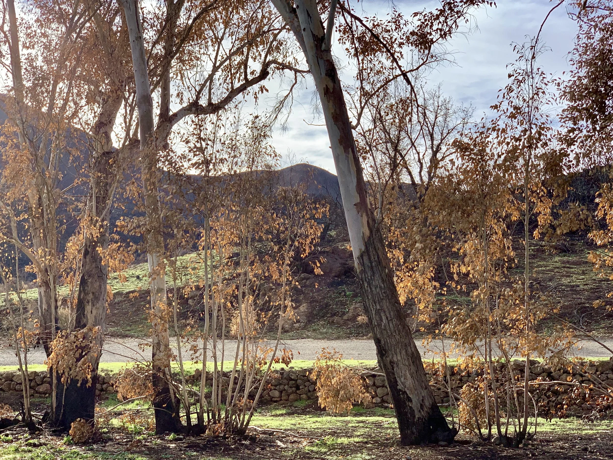
There's something beautiful about a fire area in recovery. Only 3 months after the fire, a hillside in the Santa Monica Mountains near Paramount Ranch makes a comeback.
What will our "pain point" be? Because climate change is as real as the sun, the shoe will drop on climate denial at some point, and we will finally unite in our understanding of what we are up against. But how many people will die first, how much degradation will we endure, how crippled will our economy have to become? Hopefully sooner, rather than later, Americans will say, "enough is enough", and put their shoulders to the wheel of change in a serious way, joining the many other countries attempting to transition their own economies. Some days that seems a long way off - especially as I cycle through the desert near the Salton Sea in January. But there's nowhere to hide. Check this out.
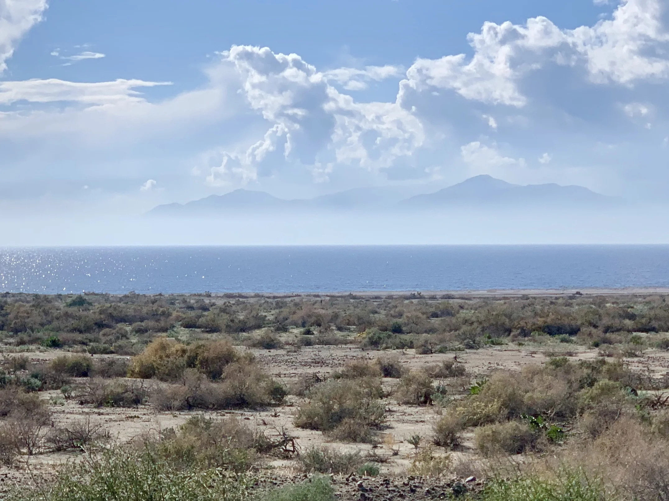
The northern and eastern shore of the Salton Sea is remarkably empty. The first 20 miles of the coast from the north shore are protected by at least three county parks. I was surprised and delighted to see this.
Some days there is progress. I've written in many previous posts about the Citizens Climate Lobby, but I have not yet mentioned that CCL has helped two carbon dividend bills become introduced in Congress. Here is the House Bill, and here is the Senate Bill. Please check them out. If you find these thoughtful bipartisan climate bills hopeful, let your Representative and Senator know you support them. We know that politicians respond to popular will, so we must make it clear to policy makers that we expect them to be effective leaders on climate.
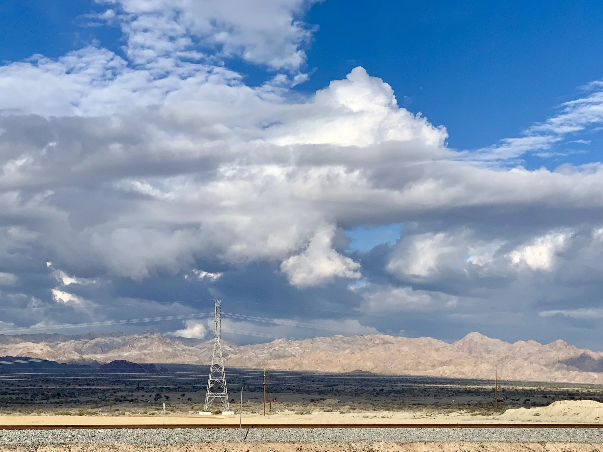
Looking east away from the Salton Sea toward Joshua Tree National Park. Someone told me that Joshua Tree poachers were in the Park because of limited staff during the government shutdown. If that's true, it's heartbreaking.
This is no small task, as we all know. The world's largest economy (ours) is dominated by policies favoring corporate interests and rich corporate-bought climate deniers who are outside mainstream thought, and insulated from extreme climate events. Imagine what this must feel like in smaller countries.
I have some adventurer friends, Ken and Fi Morton, who wrote the following in an email to me:
"Interestingly, we are in Ecuador right now where everyone acknowledges climate change as an obvious event, and not a divisive partisan issue, where private industry and gov't are investing in "clean" infrastructure like solar, and electric/LPG public transport. Also, sadly, is the realization that it, like most developing countries, they are powerless to slow or curb global climate change, as despite all efforts, the world's biggest economies will dictate how climate change plays out... which doesn't give one cause for optimism, currently."
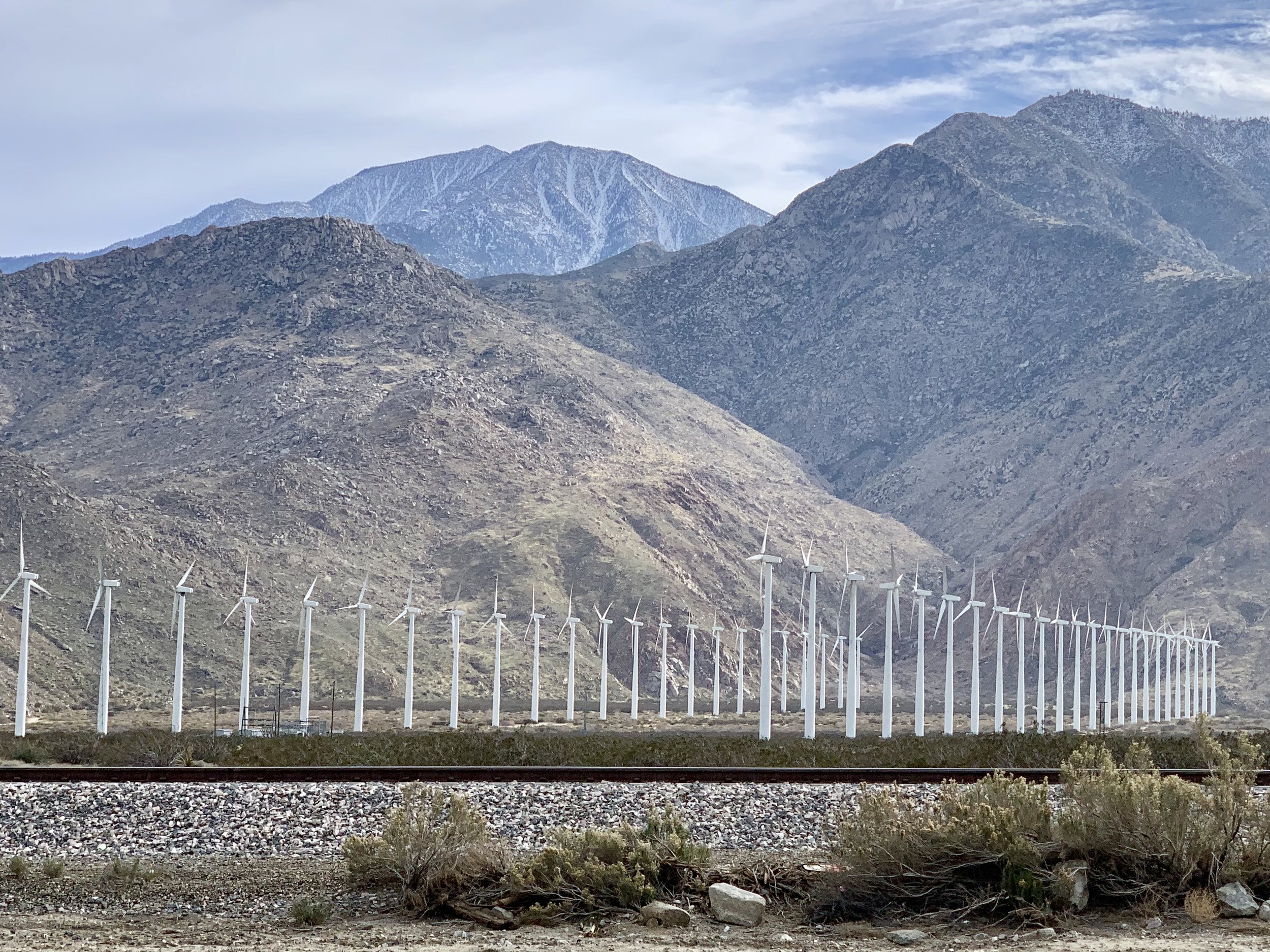
The pass from Banning to Palm Springs is quite windy and there are hundreds of wind turbines along the way. They can be attractive, and far less noisy than traditional oil wells.
There's so much to do. And I think the most important thing of all is not to capitulate to dispair or cynicism, no matter how large the obstacles seem. We've proved the resiliency of our species over and over. Yes, we may be entering the greatest challenge we've ever faced, because none before now has required no less than global economic transformation. Clearly this is no time for "me first, or us first" policies. Let's screw our collective heads back on straight and meet this historical moment with clarity and resolve.
For those of you who like the Garmin maps, here are the past four days of riding:
More to come.
All photos, unless credited or otherwise noted, are copyrighted property of the blog post author.
Love in the Time of Climate Change
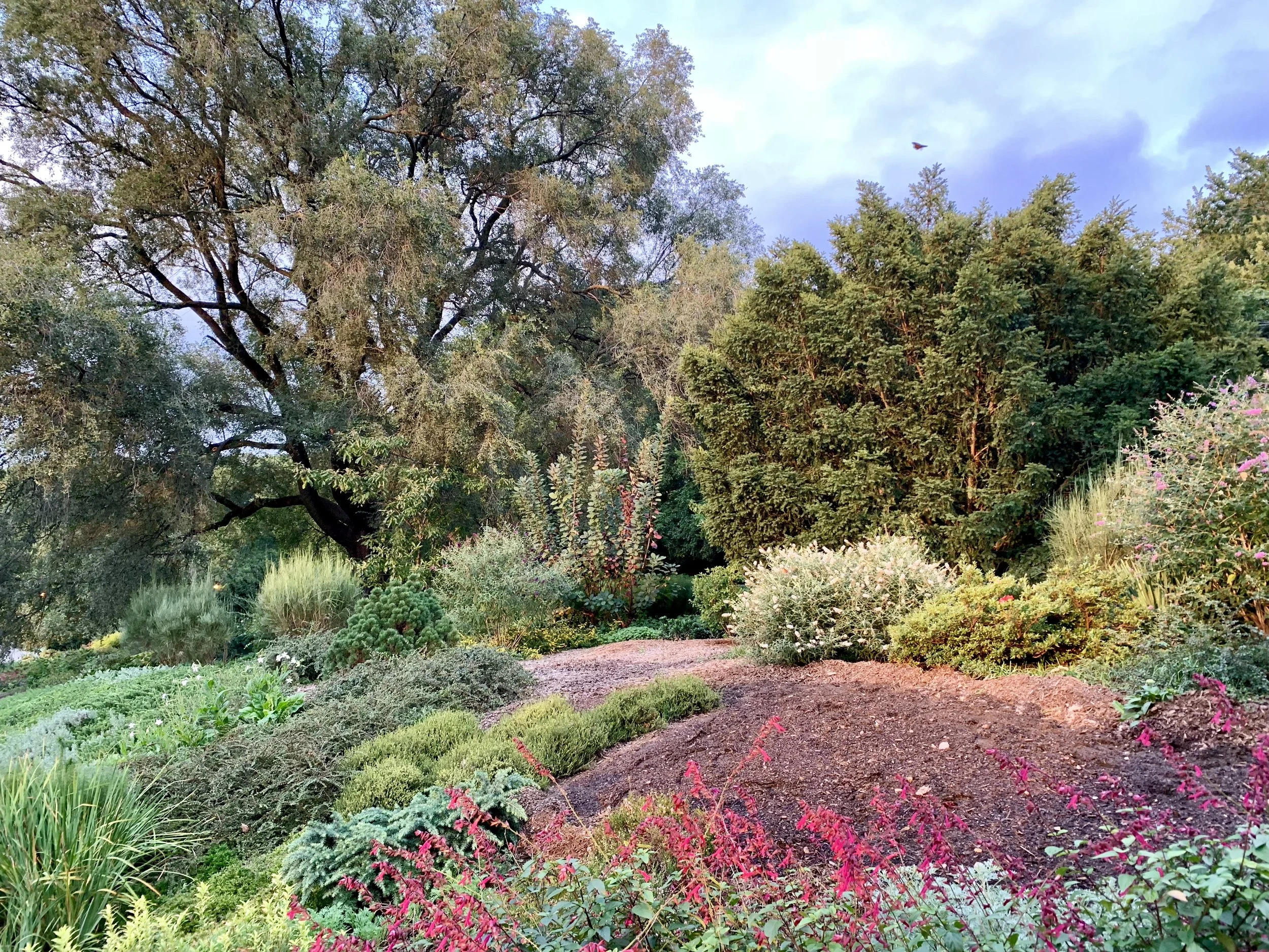
Fort Tryon Park in Manhattan, New York City.
Hello from New York City. It's been several months since I wrote my last blog post. I'm reminded of that often quoted aphorism, "life is what happens while you are making other plans."
You might recall that some months ago I intended to cycle a portion of the ACA Pacific Crest Route (an Adventure Cycling Association route that parallels the famous PCT through the Sierra Cascades and the Sierra Nevada from Canada to Mexico). My chosen section was Portland to San Francisco. I went back to Portland in early August, and managed to cycle as far as the lovely and alarmingly vulnerable-to-forest-fires town of Sisters, Oregon (about 140 miles north of Crater Lake).
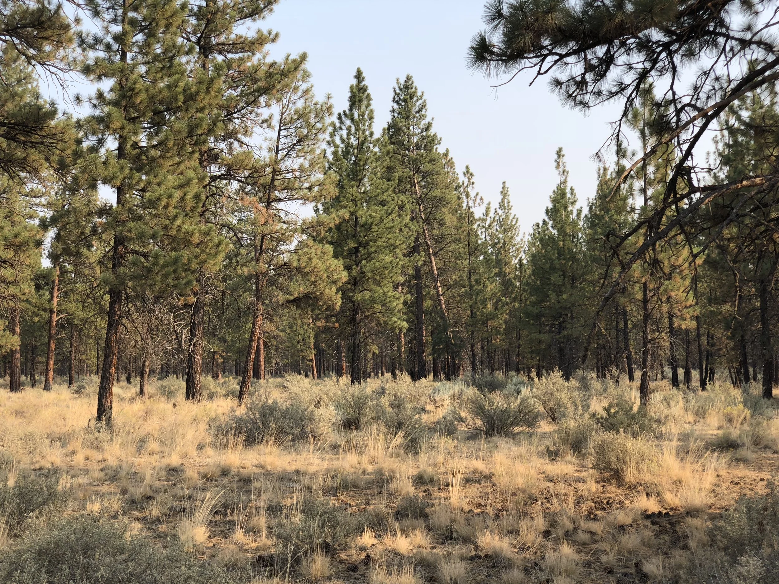
State Forest land about a mile north of Sisters, Oregon.
While there, my Mom was unexpectedly admitted to the hospital. After some conversations with my brother, I chose to abort the cycling trip to help my Mom transition out of the hospital. I spent most of the next month in Galesburg, Illinois (my hometown, btw).
I returned to Oregon in early October with a mind toward completing the cycling trip to the Bay Area where I planned to visit my Dad in Palo Alto. Yet, as fate would have it, I was simultaneously balancing a newly amorous relationship in Portland. Historically, I have remained pretty true to my cycling ambitions, but not so this time. I got more acquainted with Portland while I tried to get a bead on what I wanted, all the while feeling a strong pull to get to the Bay Area.
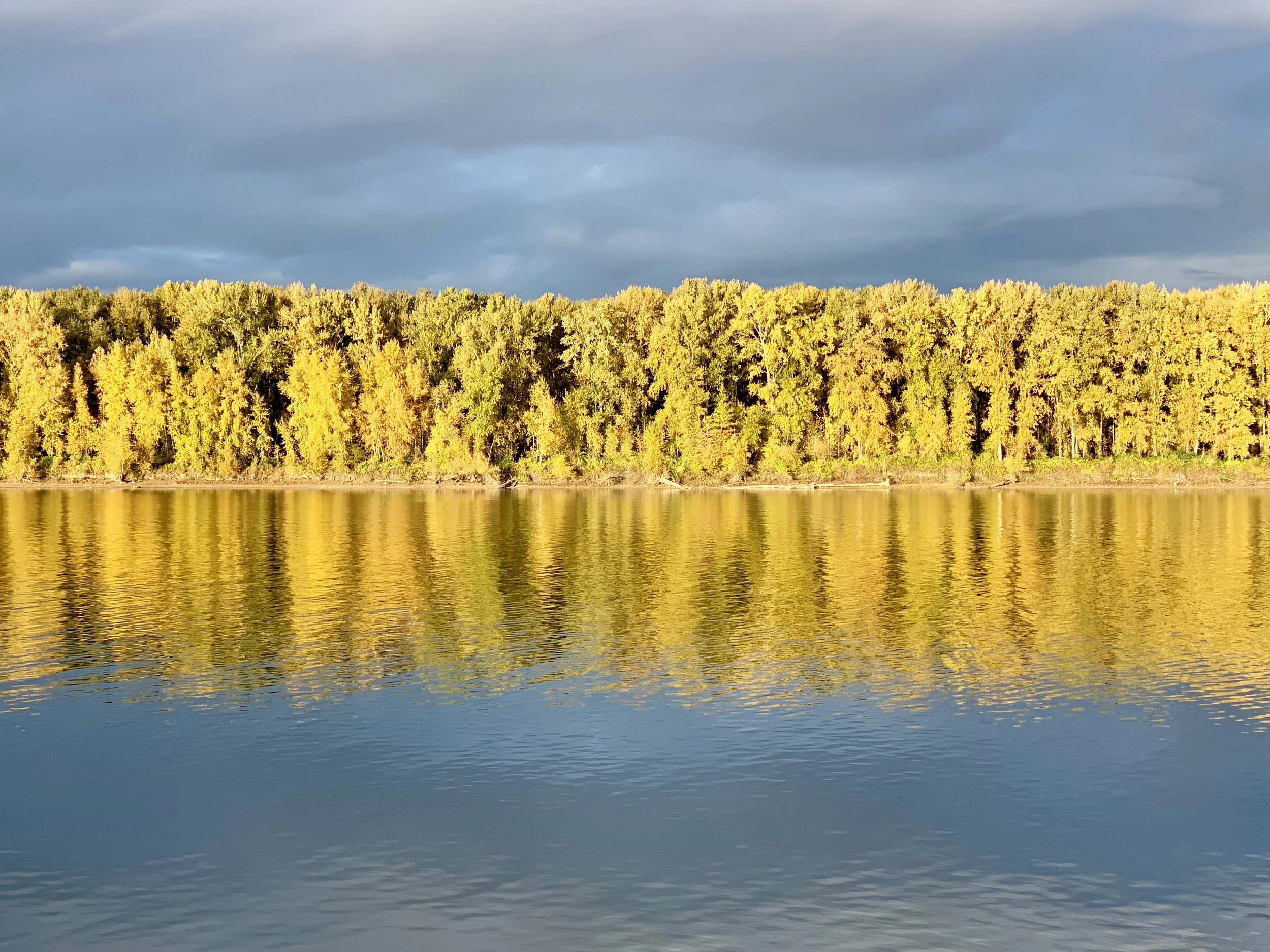
From my bike south of the Columbia River in Portland.
As someone in his late 60's, I am remarkably fortunate that both my parents are alive. At the same time, I live with the curse of American mobility (an odd comment coming from a long distance cyclist, no doubt). My family is scattered all over. My Dad and his wife live in Palo Alto, CA. My Mom lives in Galesburg, IL. I have a brother in DC, and another in Anaheim, CA. My kids and grandkids live in Milwaukee and Wausau, WI, about 4 hours apart. I live in New York City. Could my immediate family be any more spread out? This reality makes attending to elderly parents a complex and challenging process. And being a long distance cyclist both helps and hurts that responsibility.... it's great when I'm near, and worrisome when I'm not. At any given moment I'm both near and too far from someone I love, no matter where I am. But I have no right to complain. I have the good fortune to travel as I wish, as long as I am reasonably thoughtful about time and resources. My biggest problem is not being able to be in more than one place at a time, and I'm pretty sure there's no solution for that.
Alas, the romance in Portland didn't work out, so after a few weeks in limbo, I eventually packed up my bike and panniers, and hopped a train from Portland down to San Jose. You might be thinking, why not cycle there as planned? Well, here's my excuse - by that time it was mid October, and the rains had started in Oregon. And I was worried the weather would be inclement to the east and south in the Cascades and the Sierra.
It was, but not the way I imagined it. Although I would have preceded the fire, my route would have taken me along the Sierra crest above Paradise, CA. I had imagined snow. But given how the fall played out, I would more likely have encountered unseasonably dry and warm weather. If predicting weather is becoming increasingly complex for a long distance cyclist like me, what is it like for farmers, construction workers or so many others who make their living out of doors? Or homeowners in vulnerable areas, for that matter?
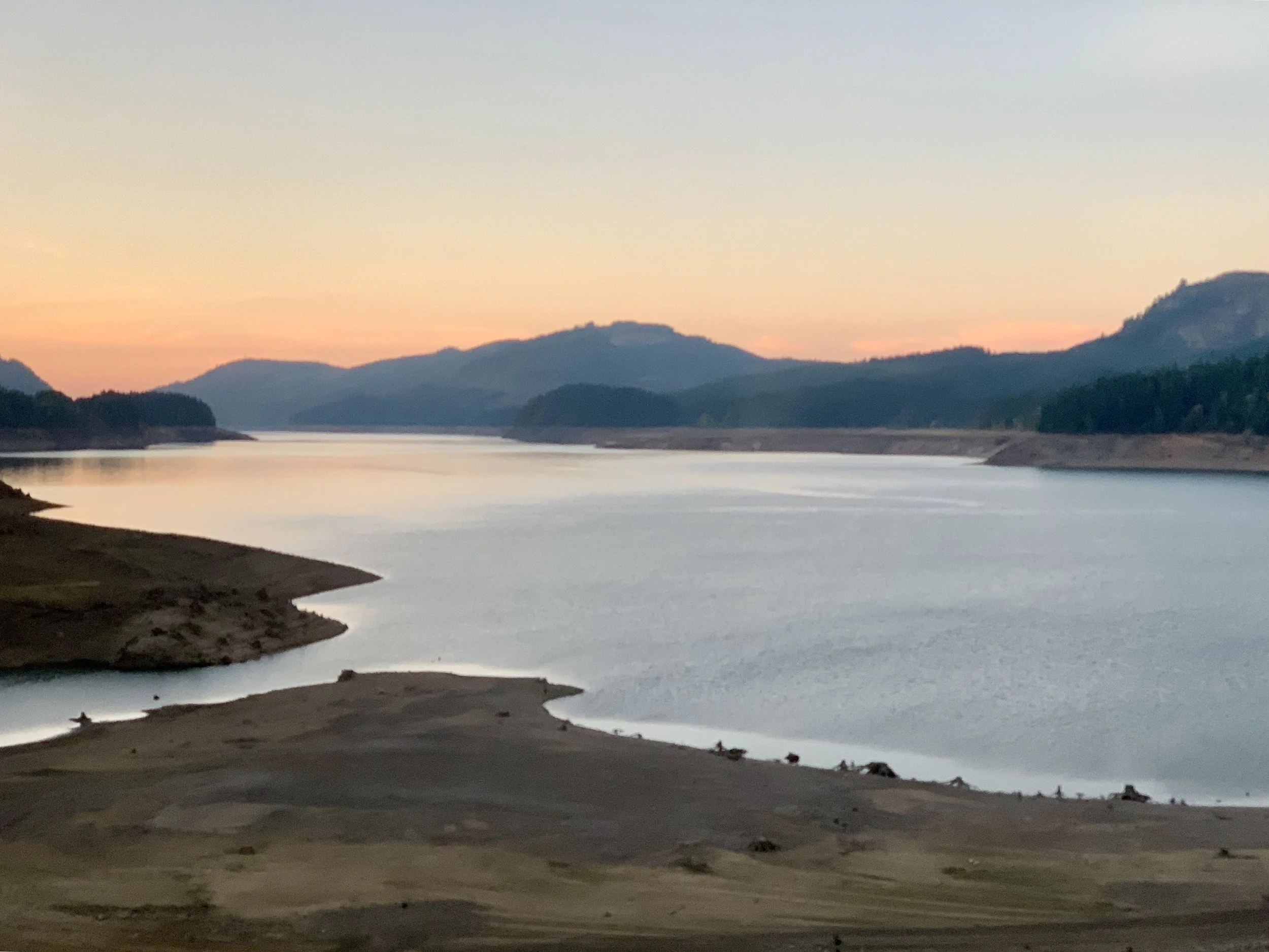
The view from the train in central Oregon on the way to California.
Like the Empire Builder in the north, the Silver Meteor on the east coast, and the Coast Starlight on the west coast, I was able to roll my touring bike on board the train for a small extra fee. I arrived in sunny San Jose in morning on a weekday in the middle of October (only 2 months later than my original plan) and rode an easy 25 miles to my Dad's home in Palo Alto.
I'm fond of Freud's idea that human life can be summarized in two words - love and work. I also suspect that both are essentially conflated into one essential motivation with two expressions - love of others, and love of work. You might remember Gabriel Garcia Marquez's novel, "Love in the Time of Cholera." For a few years I have imagined a working title for another great novel - "Love in the Time of Climate Change." I imagine it as the name of a contemporary story in which most of us are protagonists and a powerful few are antagonists. Sound familiar?
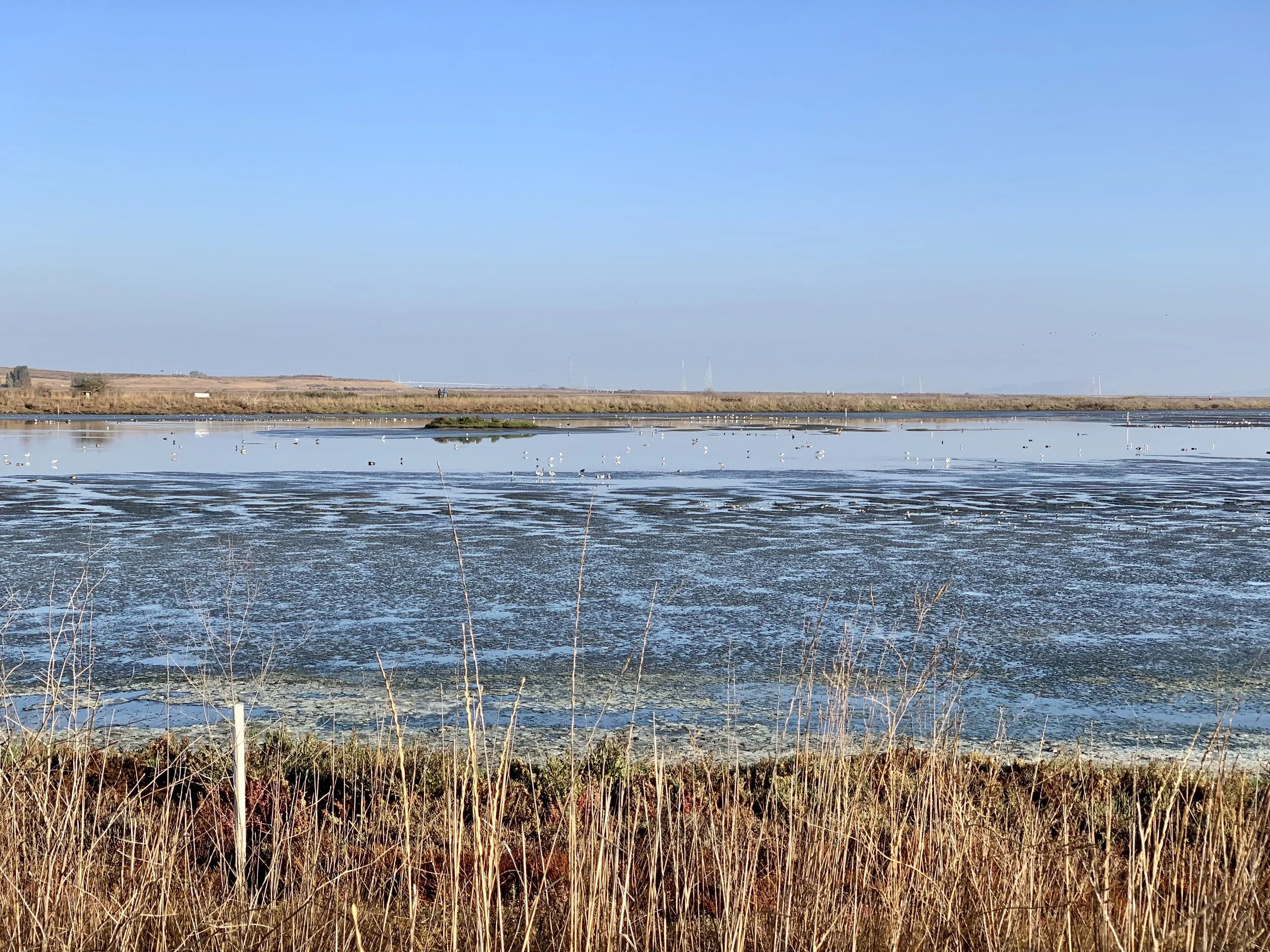
Marshland in San Francisco Bay.
Few things motivate us more than love. It's about people, yes. And it's about work, especially the work of saving ourselves from ourselves. And for some of us it's also about the open road, a distant horizon, the exquisite sense of breathing hard while pedaling a bicycle, the coolness of air streaming through the nose, expanding the chest, tightening the calves and thighs. And the exquisite pleasure of noticing marsh grass and cattails stretching to the sea, or chickory and switchgrass bending toward a hazy blue mountainside in the far horizon.
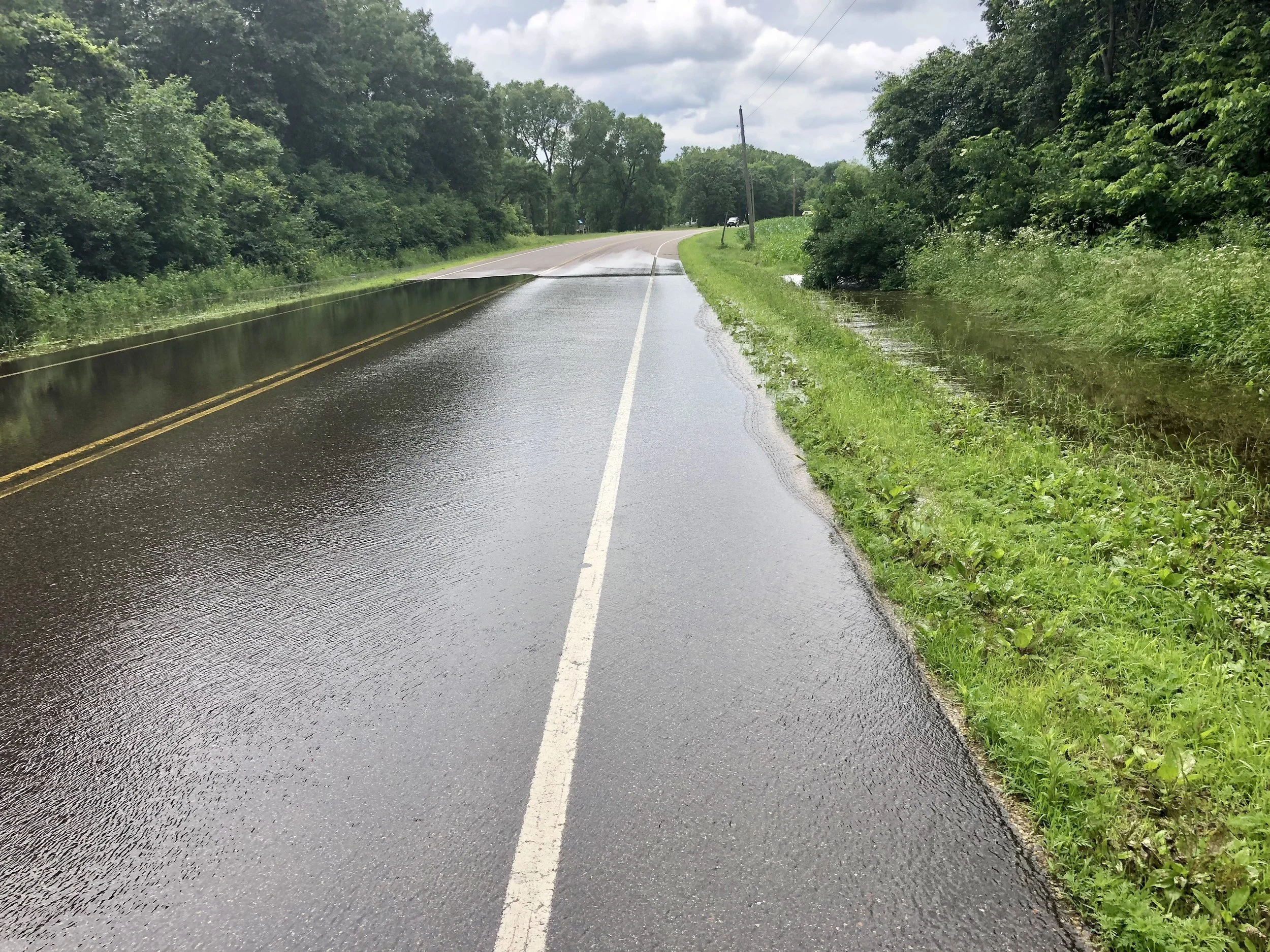
Central Minnesota, summer, 2018.
Or the bittersweet pleasure of gazing at a swollen river encroaching nearby buildings, a tinder-dry forest at the edge of conflagration, a bone dry plateau losing topsoil in the wind, a rapidly melting glacier of blue ice at the waters edge; all visions made more palpable through our rapidly changing climate. Because we inevitably lose what we love, it hurts to love under the best of circumstances. And with so much uncertainty around us, it's heartbreaking. And imperative.
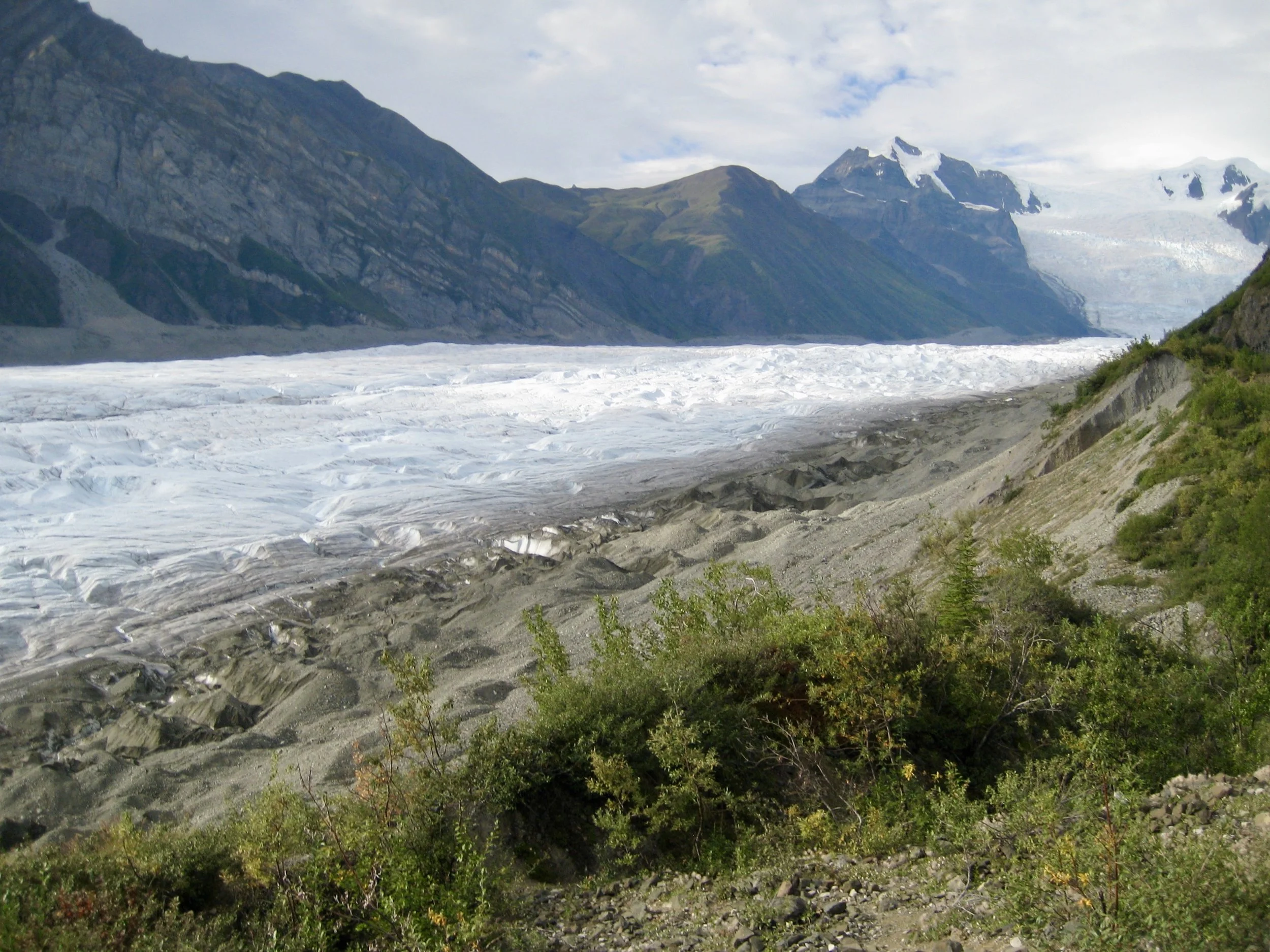
A rapidly melting glacier in Wengall/St Elias National Park in Alaska. Picture taken in 2007. The foreground is now a lake.
We are all protagonists (or antagonists) now. We are all in a shared story of encroaching climate change, whether we know it or not, and whether we believe it or not. If you haven't read the latest International Panel on Climate Change (IPCC) report, or the National Climate Assessment, or the recent CO2 emission figures published by the Global Carbon Project, you probably should. A well informed protagonist might be able to direct the plot of his or her story a bit more to his or her liking. And an antagonist might realize that it's only a matter of time before his efforts turn him, and his loved ones, into unwitting protagonists in the most challenging story ever told.
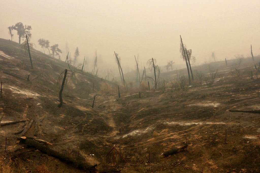
A burned hillside in California after the Carr Fire. Photo uncredited*
There are things we all can do. You are probably already doing some of them, and if you are like me, wrestling with others. We all know what we should do, even when we fall short -- fly less, eat less meat, drive hybrids or electric, become more carbon literate.... I have great empathy for how hard it is to do those things, and I hold no individual responsible for failing, including myself. Fortunately, there are other forms of direct action. If you aren't following them yet, check out the promising young people's Sunrise Movement, and the bipartisan Citizens Climate Lobby inspired bill, the Energy Innovation and Carbon Dividend Act H.R. 7073, that was recently introduced in the House of Representatives. Some actions are simple and direct, such as gently and repeatedly writing letters of support and asking your Congressional Representative to sign on as a sponsor to H.R. 7073. Other actions are more complex and less direct (but no less important), such as taking more time out of a busy life to savor the natural environments nearby. We all fight harder to preserve what we come to love, even as it slips through our fingers. So, in this holiday season, let's recommit to savoring each other more, and to savoring our Sacred Earth more. In this way, our love and our work will coincide.
More to come.
*All photos, unless credited or otherwise noted, are copyrighted property of the blog post author.
Thinking about Carbon
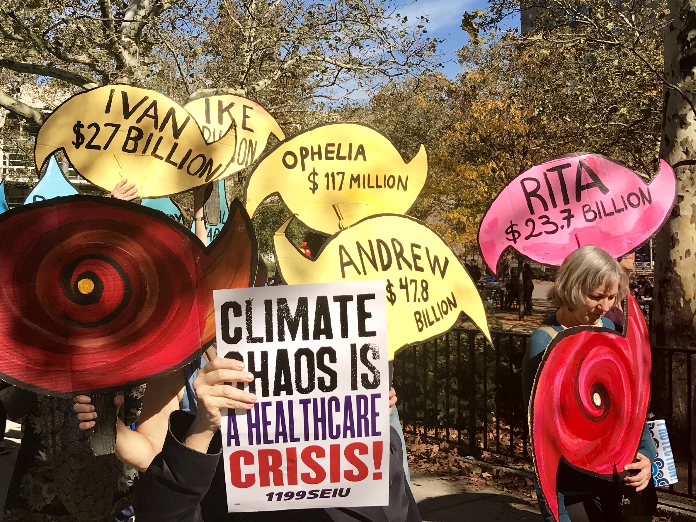
Over the past year, I’ve had the good fortune to become involved with two organizations making significant educational and policy-based contributions toward a reduction in Greenhouse Gas Emissions (GHGe). One of those organizations is Citizens Climate Lobby (CCL), and the other is The Climate Reality Project.
A broad-based national constituency for climate action, The Citizens’ Climate Lobby (CCL) is a non-profit, non-partisan, grassroots advocacy organization focused on national policies to address climate change. The CCL’s respectful, non-partisan approach to climate education is designed to create a broad, sustainable foundation for climate action across all geographic regions and political inclinations. By building upon shared values rather than partisan divides, and empowering supporters to work in keeping with the concerns of their local communities, CCL volunteers work towards the adoption of fair, effective, and sustainable climate change solutions, the most primary being the passage of a carbon fee and dividend proposal.
Several times each year, The Climate Reality Project brings together a diverse group of passionate individuals including cultural leaders, organizers, scientists, and storytellers to attend “Climate Reality Leadership” training. Training events are hosted all over the globe, and are attended by a thousand people and more. Although applicants pay their own travel and lodging, training costs are underwritten and free to participants. Led by former Vice-President Al Gore, current Climate Reality CEO Ken Burns, and a very capable and energetic staff, participants hear from a number of political and policy leaders, sustainability experts and renown climate scientists. Participants leave with full access highly vetted and copyrighted material they can use to lead and educate others about the climate crisis. No matter what one's level of experience in climate change work, Climate Reality Leadership training is an invigorating and challenging way to deepen one's capacity for activism.
Interestingly, Climate Reality recently rolled out a carbon pricing campaign. The congruence in policy focus between these two large organizations is no accident. Carbon pricing is a widely accepted idea among many economists for creating a predictable market-based mechanism that will accelerate a decrease in global carbon emissions. Serious students of climate-science know that the world must accelerate the transition to a clean energy economy if we are going to have any chance at preventing significant economic losses through decreased agricultural yields, sea level rise, increased temperature spikes, melting ice caps, floods, droughts and other extreme weather events such as hurricanes. Every day our situation is more urgent than the day before. Simply put, until we significantly slow down our carbon emissions, we are in danger of running out of time.
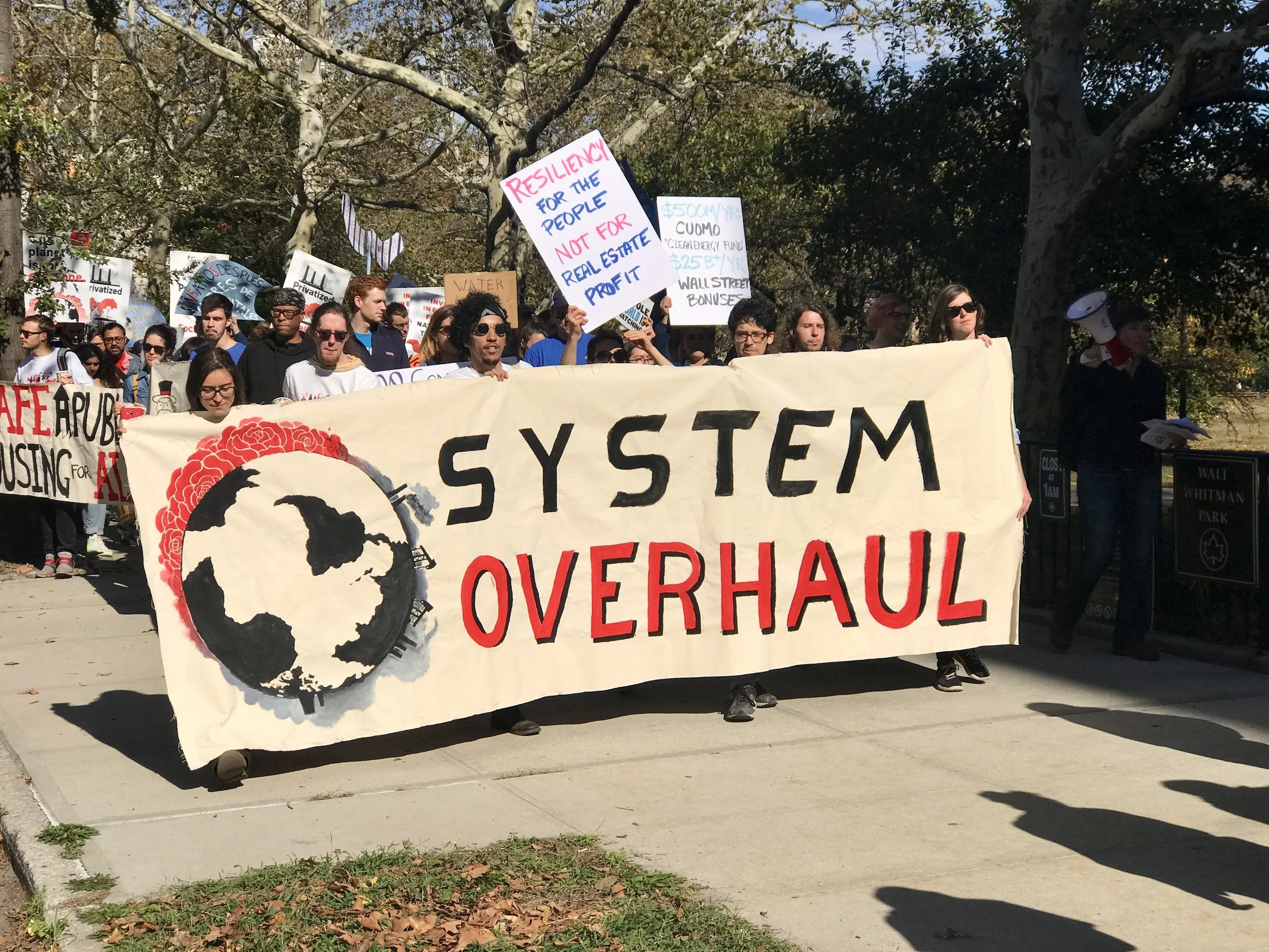
Carbon Literacy
To understand how critical it is that we reduce carbon emissions, it's useful to think about carbon budgeting. In Paris in 2015, negotiators adopted 2 degrees centigrade (2C) as the uppermost limit for global temperature change to avoid destabilizing both natural ecosystems and human civilization at a catastrophic level. And, in a desire to avoid disruption at a less risky level, the Paris Agreement also included an aspirational goal among participating countries to limit warming to 1.5C. However, the most powerful aspect of the 2C goal is not its scientific veracity, but its simplicity as an organizing principle. What the 2C threshold lacks in nuanced predictability, it more than makes up as a goal that is understandable, measurable and may still be achievable (although to stay below that threshold our actions will need to change quickly). Although a 2C goal is a blunt instrument with many shortcomings, its ability to inspire 195 countries to sign an agreement should not be discounted. In other words, we should do everything we can to honor that threshold. We may not get many more chances.
The measurement for a 2C world corresponds directly to the amount of GHG emissions (e) we put into the atmosphere. And since CO2 is the most ubiquitous GHG, we can quantify our problem with emissions by directly measuring CO2e. Simply put, most climate scientists agree that our atmosphere can tolerate about 2 trillion, 900 billion tons/CO2e before we exceed the 2C benchmark and put ourselves in danger of catastrophic change. Since 1870, we have emitted 2 trillion, 156 billion tons/CO2e, which is almost 75% of all allowable CO2e to meet the IPCC 2C limit for emissions. Essentially we can emit approximately 744 billion more tons of CO2. Last year the world emitted 40 billion tons of CO2e (a slight uptick from the previous three years, which were flat at about 37 billion tons). That means that every day, the world dumps 110 millions tons of carbon into the atmosphere.
The numbers above illuminate the urgency of our situation. We have a lot to accomplish in a short time, and the stakes could not be higher. I believe we can start by making ourselves more carbon literate. The math is straightforward, and we need to bear in mind the following reality: Assuming we continue to emit at current rates, we will reach the 2C benchmark in about 18 years (by 2036, at the time I am writing this).
I recently had the good fortune to hear a presentation by Arnaud Brohe, US CEO of CO2logic. This company helps other companies and organizations calculate, reduce and offset CO2 emissions. Their approach to lowering GHGe uses the following steps.
Calculate
Reduce
Offset
Price
The simple steps above can be applied at any level of carbon accounting, whether they are individual, organizational, institutional, corporate, or governmental. No matter how we approach carbon emissions, we can apply these four steps to manage and reduce emissions. On the individual level, we can calculate, reduce and offset. However, at institutional, corporate and governmental levels of action, carbon pricing may also be an option.
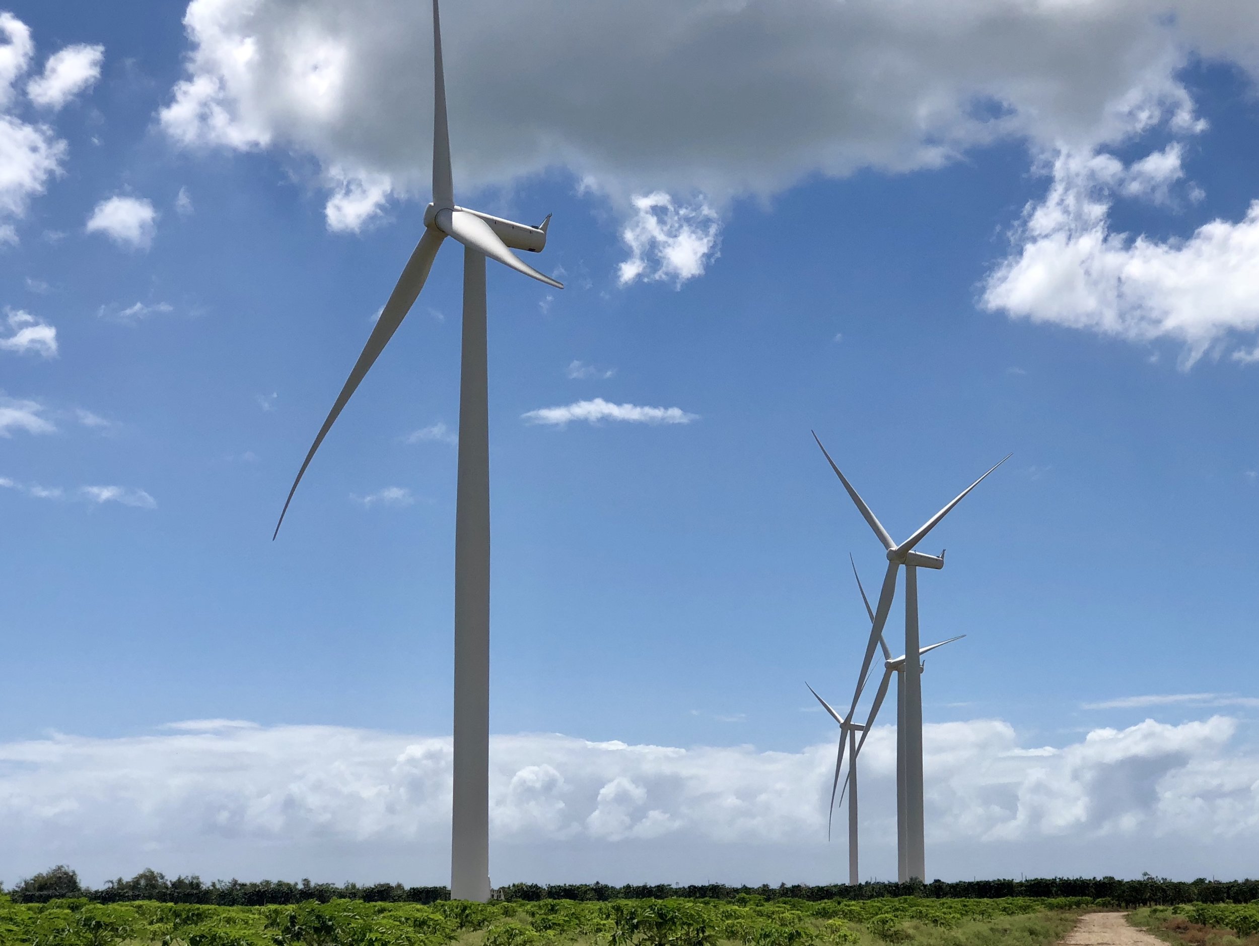
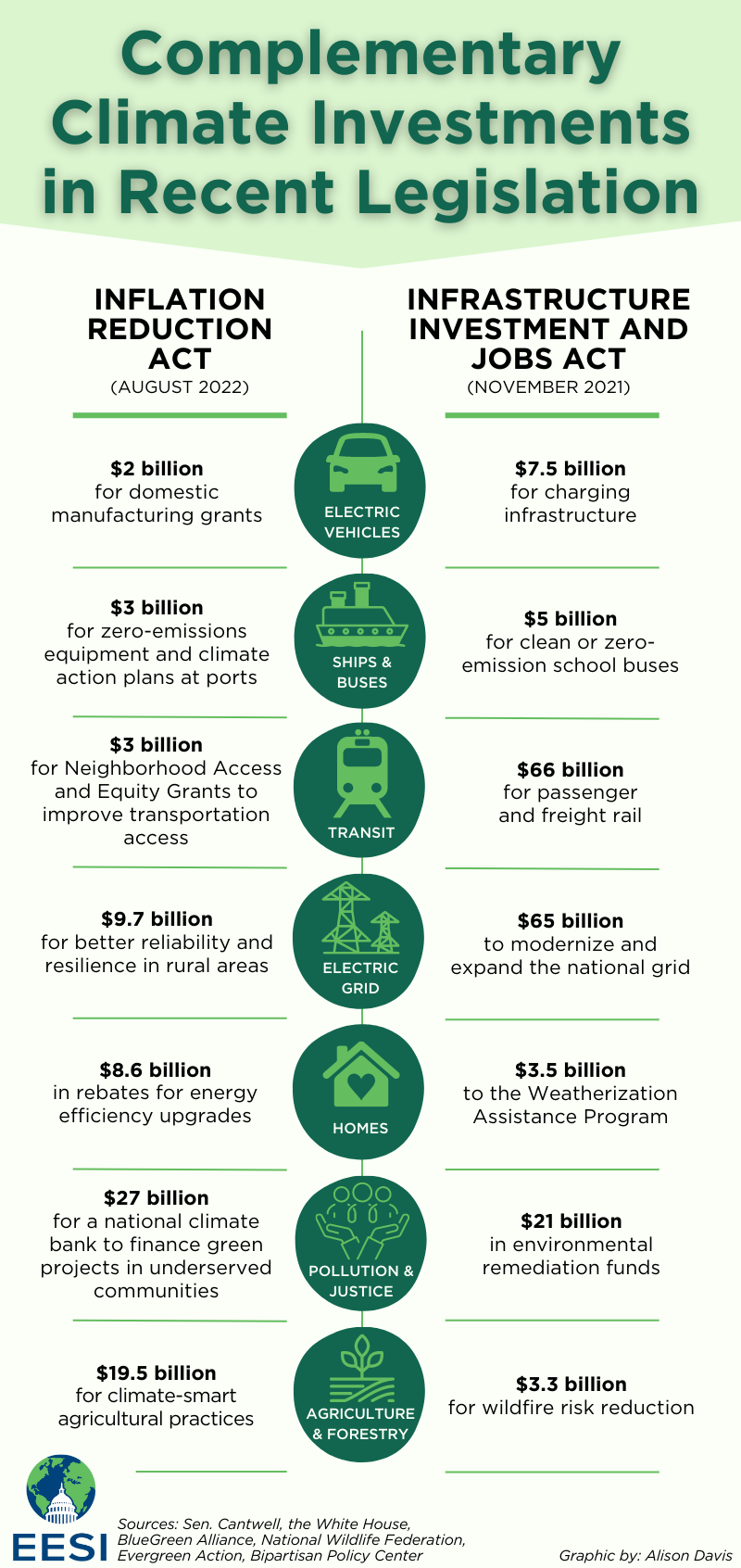
Calculating Carbon
According to the Union for Concerned Scientists (UCS), the average American emits approximately 18 tons of CO2 annually (about 3000 lbs of carbon a month). Of course, this is an average figure and there is lots of variation. But it's useful for estimating one's contribution to our collective problem. There are many excellent carbon footprint calculators around. One of the most useful is carbonfootprint.com.
Here are a few interesting calculations:
The making of your smartphone emitted 200 lbs of CO2e (and the continual use of it emits small amounts of carbon depending on your electricity supplier)
Flying coach from DC to Chicago = 300 lbs/CO2e (distance and class are the biggest determinants)
Flying JFK to SFO coach round-trip flight = 1 ton/CO2e
Flying first-class round-trip NYC to London = 2.5 tons/CO2e (first class burns more carbon per flight because it accommodates fewer people)
Driving one mile in traffic = 1 lb CO2e
Eating a steak = 10 lbs CO2e (red meat is about 10 times more carbon intensive than food from plants)
Reducing Carbon
Americans can voluntarily reduce emissions by:
Changing light bulbs to LED’s
Driving less/driving hybrid or electric
Flying less
Using public transportation
Biking or walking
Switching to a clean energy electric supplier
Unplugging electric appliances when not in use
Buying fewer things
Recycling attentively
Eating less meat
Wasting less food
Offsetting Carbon
Although many institutions and corporations offset their carbon emissions, some fail to market that fact for fear of antagonizing their customer base. In fact, the largest single corporate buyer for carbon offsets globally in 2016 was Exxon Mobil (a subject for another post). But individuals can use offsets as well. In fact, not only are carbon offsets an important step in the development and understanding of carbon pricing programs, they are an underutilized opportunity for wealthy individuals in the developed world who wish to help mitigate the problems their wealth (and related carbon emissions) has caused the world at large. In 2016, 64 million tons of CO2e were offset through voluntary carbon markets. The cost of those offsets averaged about $10/ton in the retail market, which means that the average American can offset his carbon footprint for as little as $180/year.
Offsets have been around for several decades, and have earned a reputation for being fraudulent at worse, and only effective as a net-zero application at best. While net-zero offsets as a strategy are still problematic, they are no longer the only offset product available. It is now possible to purchase many different kinds of products that directly lower emissions. In addition, widespread corruption concerns are no longer applicable if one buys offsets verified by a well known third party. Some of the better-known verification standards are listed below.
The following companies offer offsets for individuals, organizations, and businesses that are well vetted and productive. There are many more.
amazon.com (Carby Box)
wildlifeworks.com (Carby Box partner)
carbonfund.org (Jetblue)
nature.org (Delta)
sustainabletravel.org (United)
terrapass.com (Expedia, Enterprise Rent-a-car)
southpole.com (Global Private and Public Sectors, Capital Markets)
Perhaps most striking on the list above are the carbon offsets that can now be purchased through Amazon.com. Although skeptical about the product when it was first introduced, I have come to appreciate that Carby Box brings the complex world of “Voluntary Carbon Markets” directly into our living rooms. Carby Box’s partner Wildlife Works uses a form of offset called Reduced Emissions from Deforestation and Forest Degradation (REDD+) that, at best, neutralizes one’s carbon emissions but doesn’t drive down CO2 aggregate amounts. In that way, the offsets are net-zero but not net-minus. Even so, it makes sense to me that if one can afford to neutralize ones’ carbon footprint when carbon emissions cannot be avoided any other way, then this has an immediate value. It isn’t a free pass to pollute, and it doesn't absolve us from our carbon footprint on the future, but it does make a bad situation slightly less bad than it might be otherwise. In 2016, offsets came from REDD+, but also from wind, landfill methane projects, community-focused energy efficiency, and clean cookstove projects. It’s important to note that many offset buyers (including individuals, corporations, and governments) chose projects for community-based economic benefits as much as emission offsetting properties. And, as best as I can tell, this is a virtue of the Carby Box Wildlife Works offset product.
Of course, in a year when the world emitted 37 billion metric tons of CO2, 63.4 million tons of carbon is close to negligible. But giving up is not an option. Plus, there are several other good reasons for supporting carbon reduction and offset programs. Many, although not all, of the programs are based in underdeveloped countries who are the least responsible for having created the climate crisis. So those of us who can afford it may want to support offsets in countries that didn’t create the problem in the first place for moral reasons. That’s a win-win.
There’s one last reason for supporting offset programs. Thinking about our carbon footprint challenges us to develop carbon literacy. It’s interesting to compare average individual carbon emissions from country to country, just as it’s interesting to compare the total output of carbon emissions from country to country. This drive questions. Who are the bad actors? Who does the most for our collective “tragedy of the commons”? What are the obligations of high carbon emitters to low carbon emitters? To what extent are we personally responsible? And what can we do personally, and as consumers and citizens, to mobilize change?
If we pay attention, we will realize that carbon has a price. The highest price of carbon may be the loss of the human species -- or at least the loss of civilization as we know it. But maybe we can forestall those prices by installing something much less expensive. How about pricing carbon at the point of sale at $40/ton the first year, and then increase it $10/ton for a decade, while the collected fees are and redistributed back to citizens to offset their costs for participating in an urgent reduction in carbon as a new economy develops? The plan above, by the way, comes from the Citizens Climate Lobby (CCL).